Kings Canyon National Park

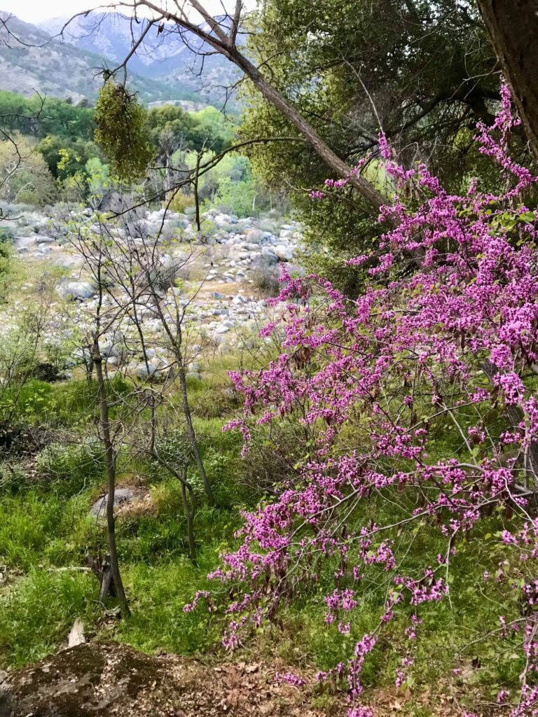
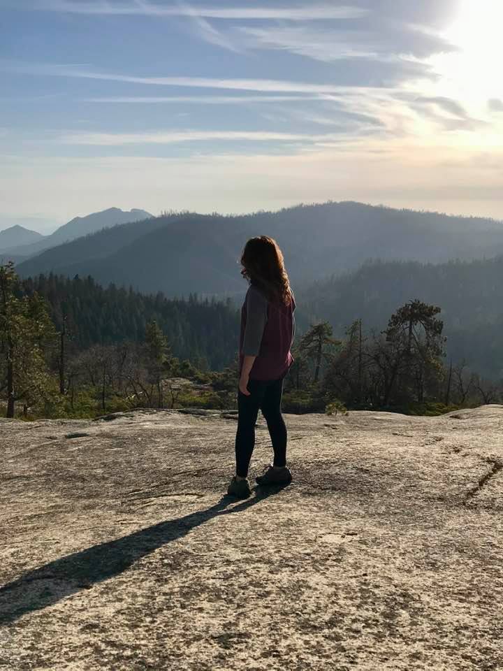
After a couple of days in Sequoia National Park (you can check out that post here), we drove north on the General’s Highway to check out Kings Canyon National Park. I wasn’t even sure if the road connecting the two parks would be open in April, so this drive was a bonus! In preparing for this trip, I read that snow can occur at any moment and can close portions of the road. Even though there was still plenty of snow at higher elevations, the road was clear and the temperatures were in the mid 70’s! Here is what we found to do!

The distance between the General Sherman Tree in Sequoia National Park and Grant Grove and the General Grant Tree in Kings Canyon National Park is only 30 miles but the drive took over an hour. It was very scenic with pull offs for beautiful vistas and tall tree groves. If traveling between the two parks, make sure to allow yourself plenty of time to enjoy the journey.

Grant Grove

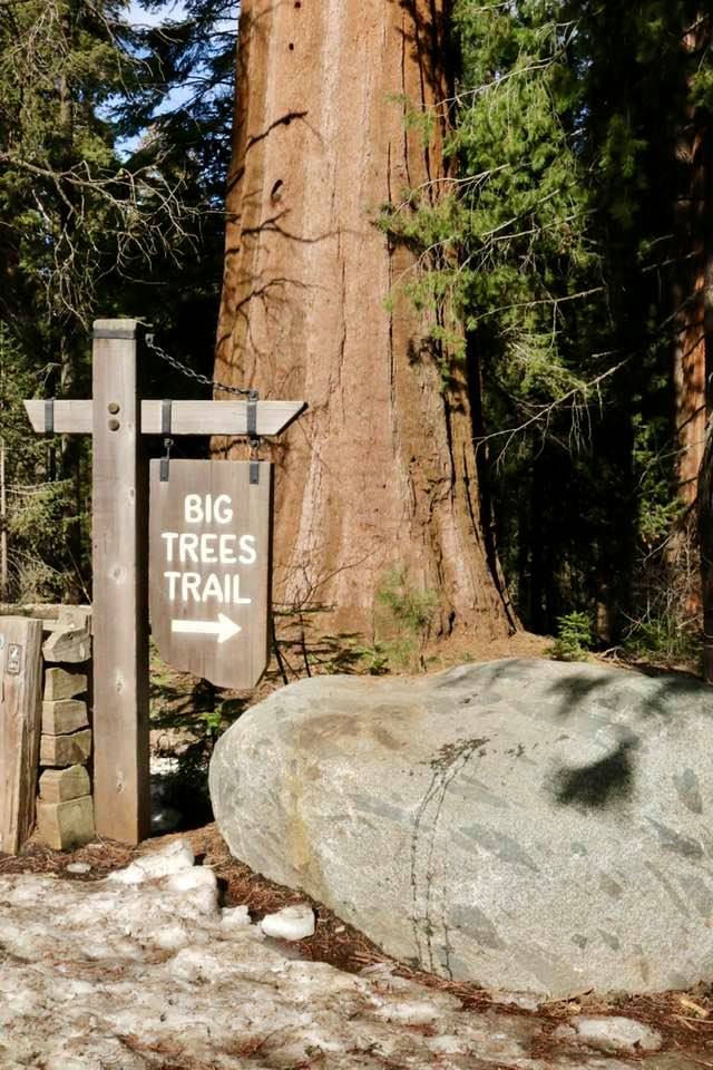
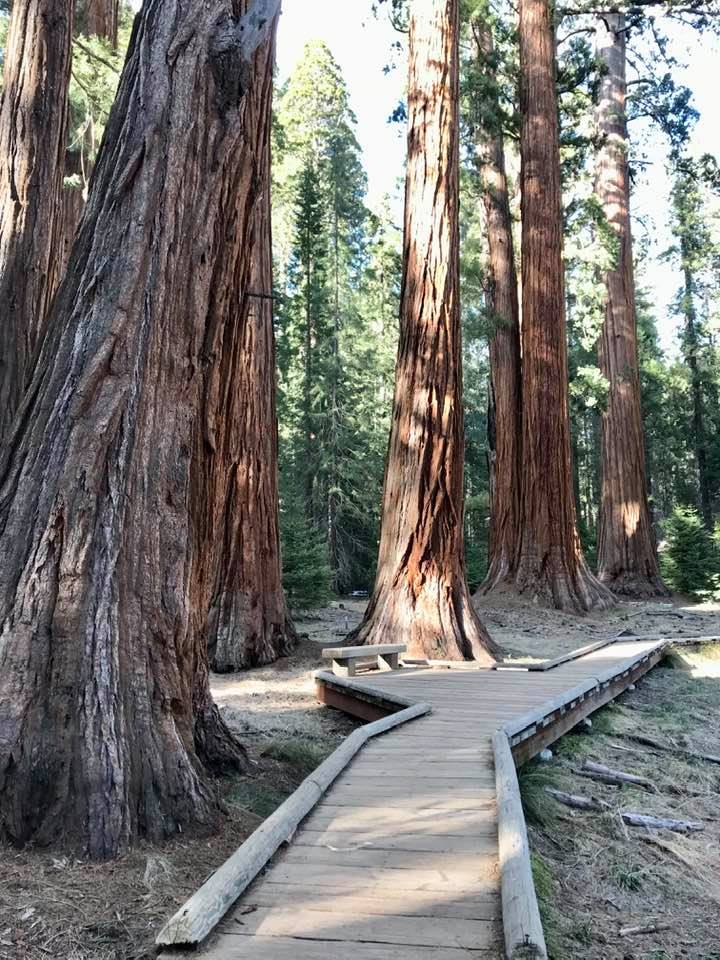
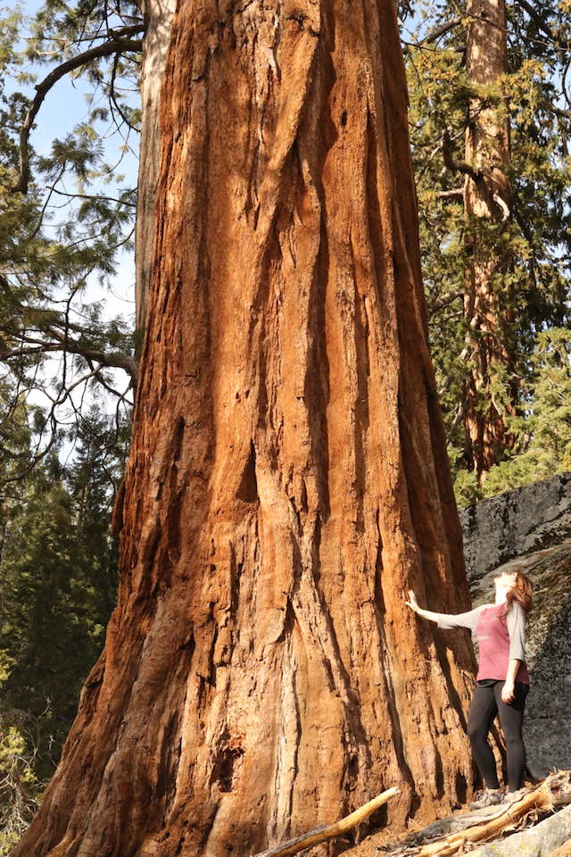
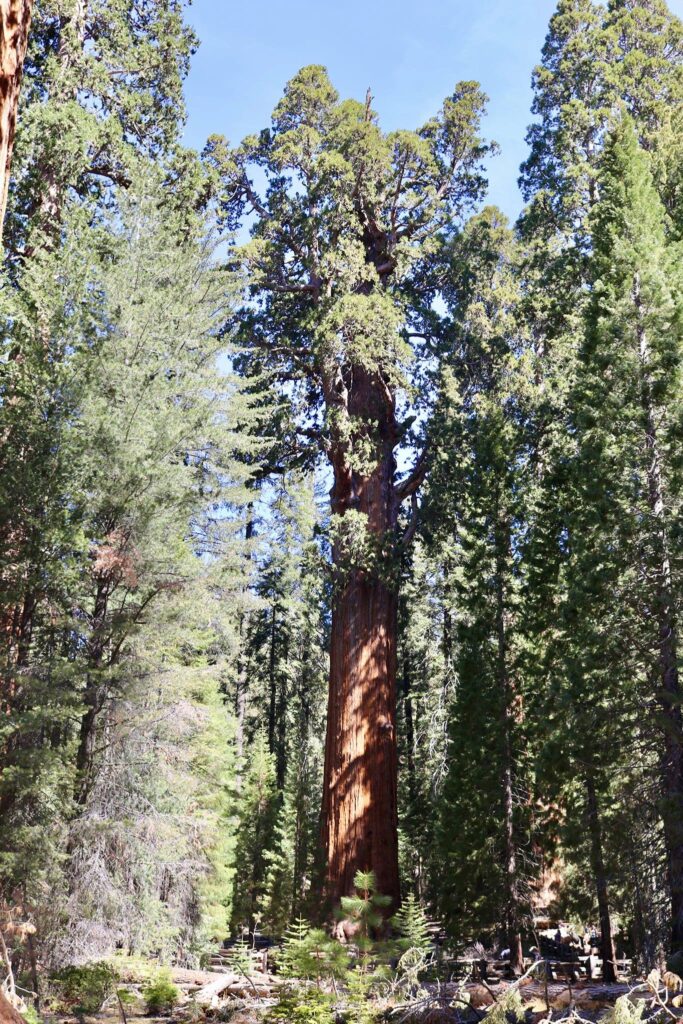
Grant Grove is a must see in Kings Canyon National Park. It is also a great stop for food, souvenirs, restrooms. After checking out the aforementioned comfort stops in Grant Grove, the General Grant tree is the next stop to make. You can walk the roughly one mile trail from Grant village or drive to the Grant Grove lot. We chose to walk in order to stretch our legs. This might also be a better choice when the park is busier in the summer and parking is harder to find.

The General Grant Sequoia Tree. This is the 2nd largest tree in the world.

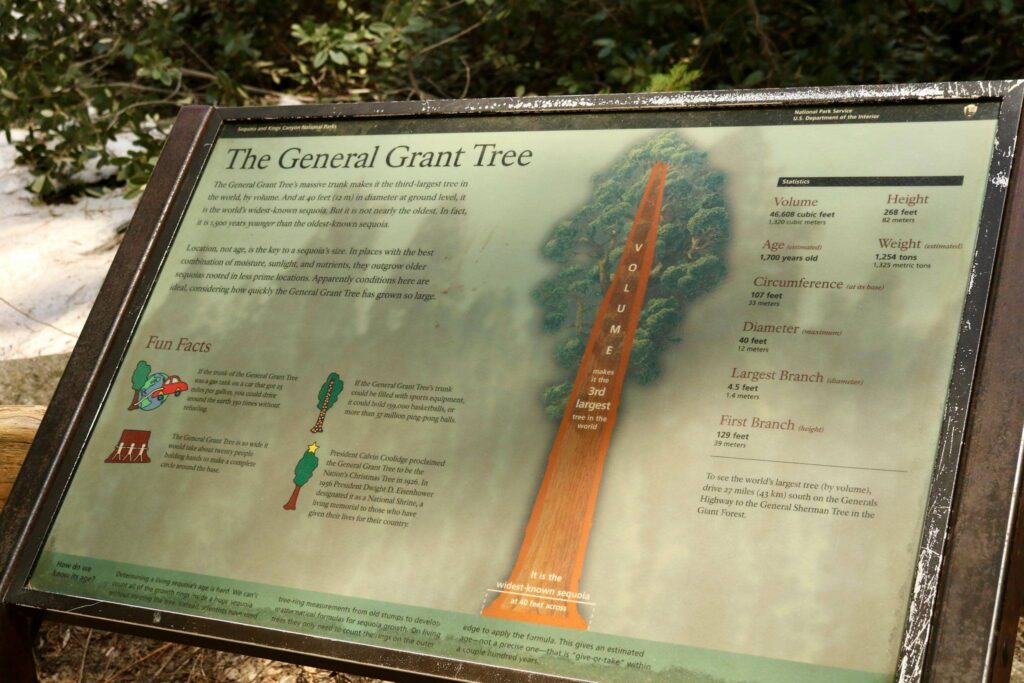
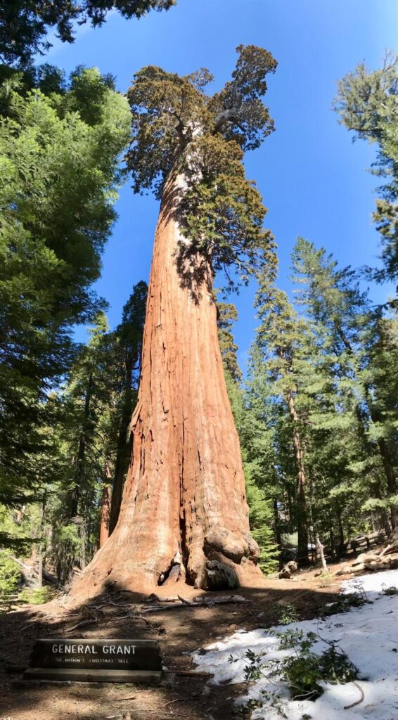
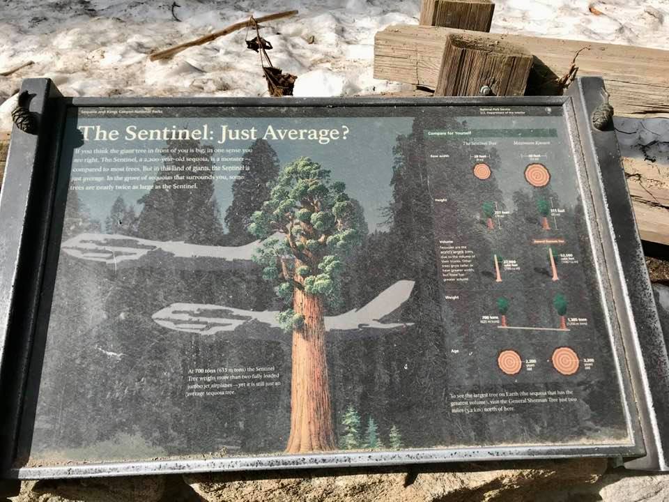
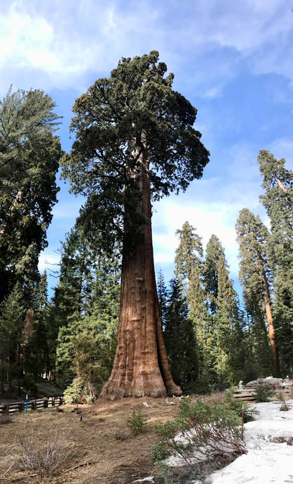
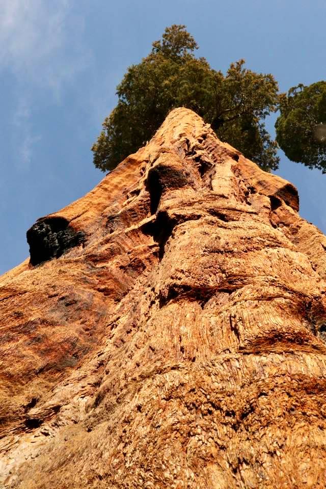
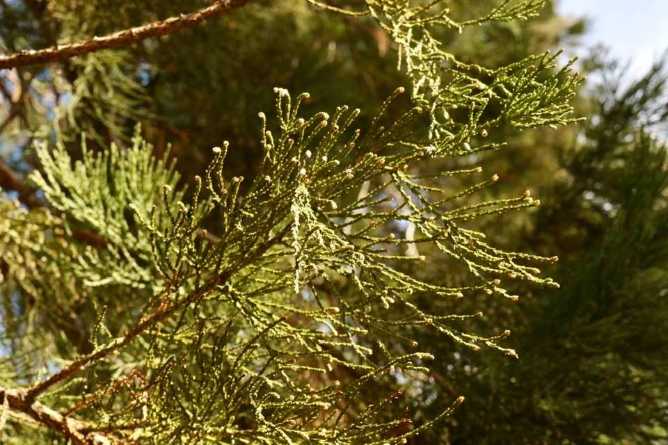
I really enjoyed Grant Grove. It was less crowded than the giant sequoia grove surrounding the General Sherman Tree. The General Grant tree is listed as the 2nd largest tree in the world by volume, though this is based only on the trunk. If the branches were considered, another tree found in Sequoia National Park would bump General Grant to third.

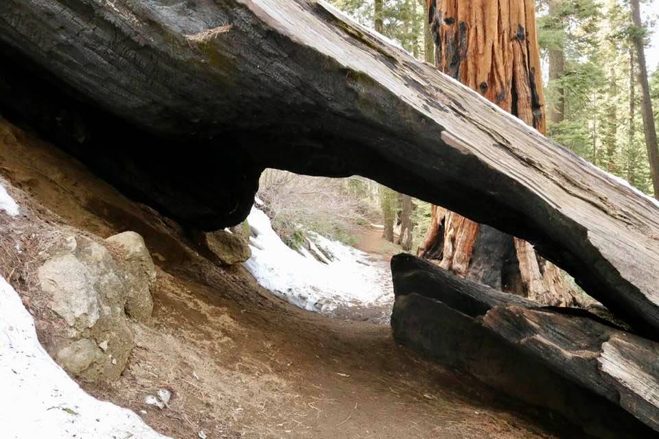
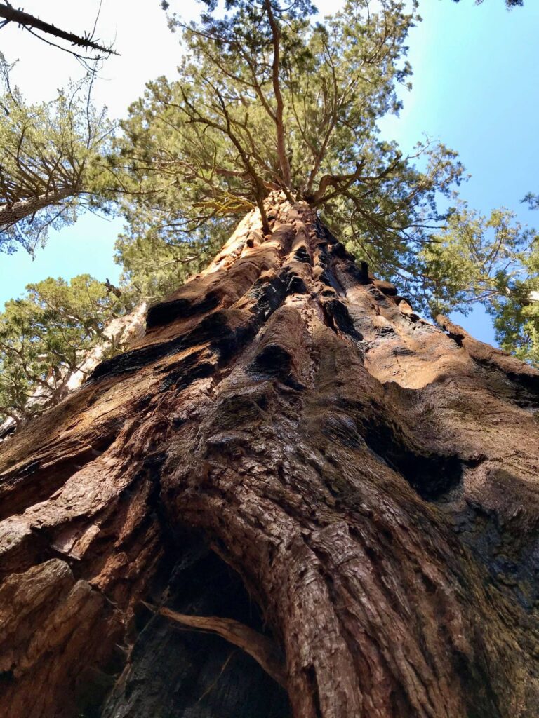
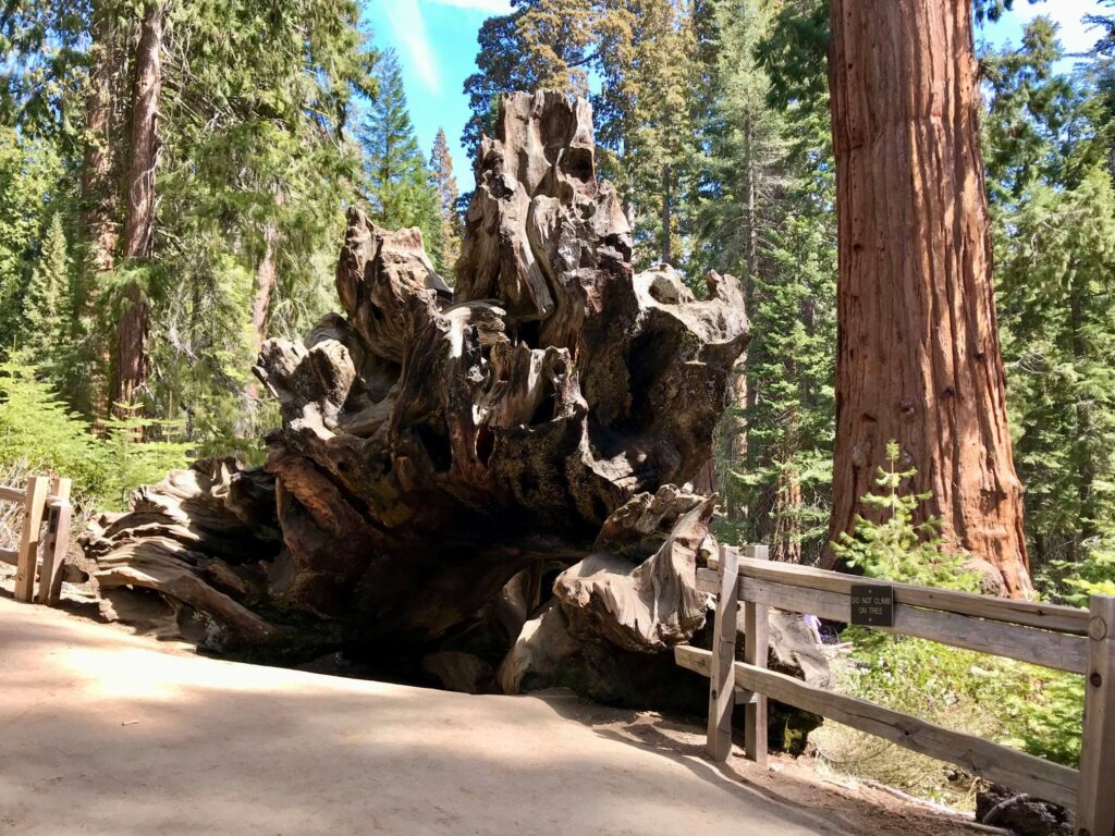
Also on this trail is the Fallen Monarch. It is an enormous sequoia that can be walked through and nearby interpretive signs show people have been doing this for a long time!

The Fallen Monarch

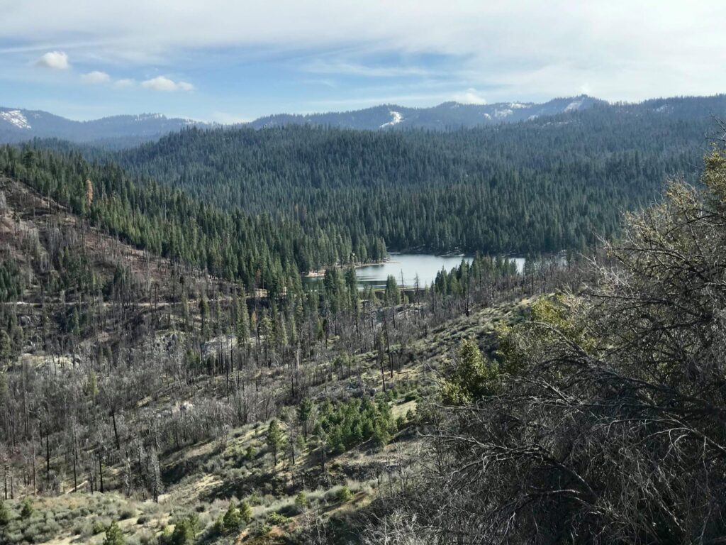
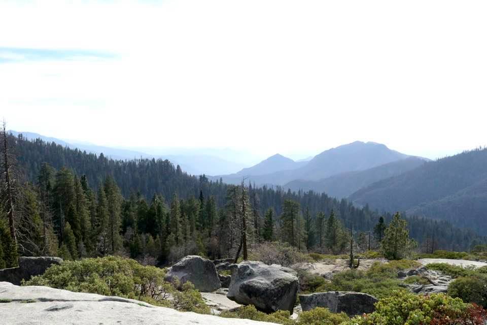
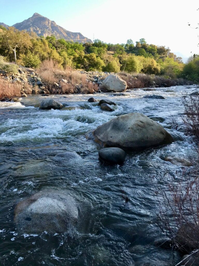
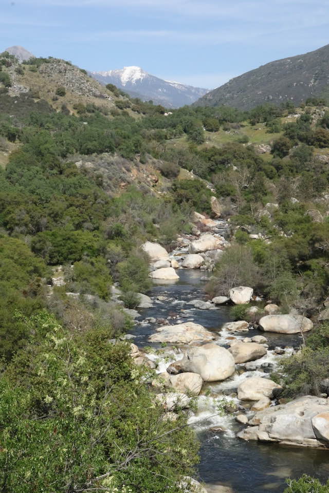
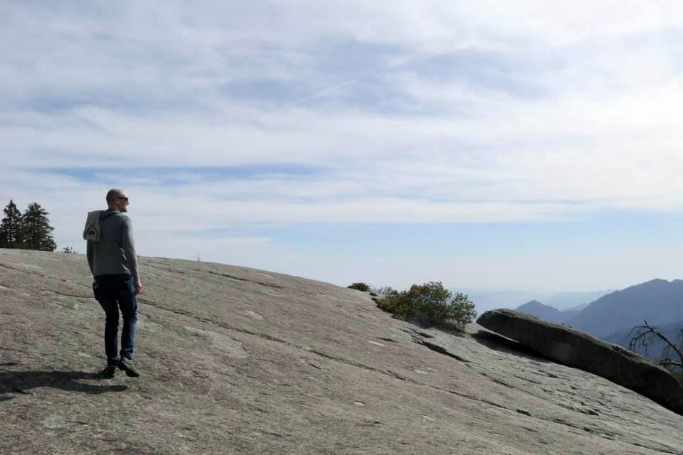
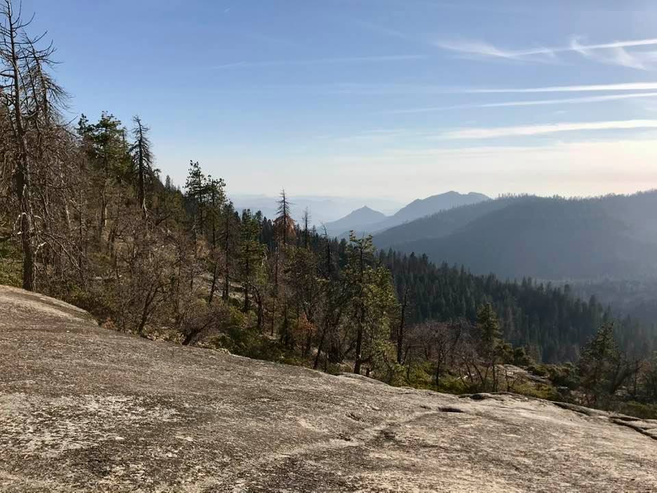
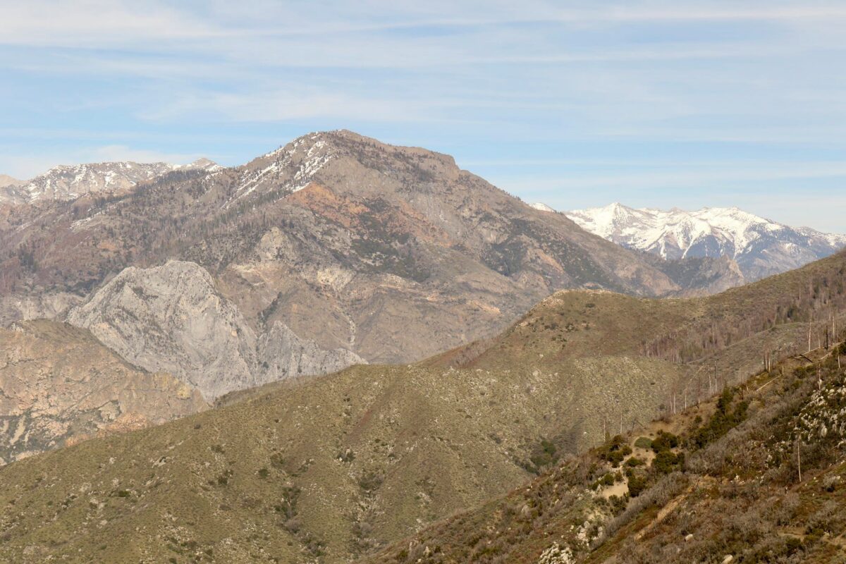
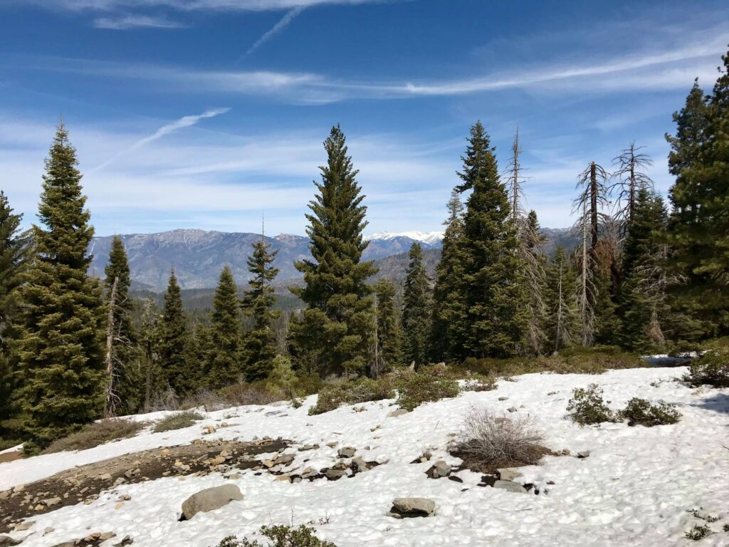
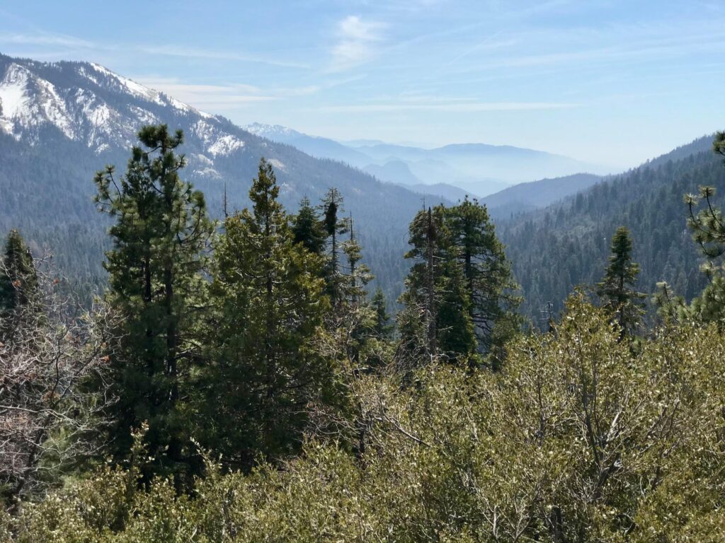
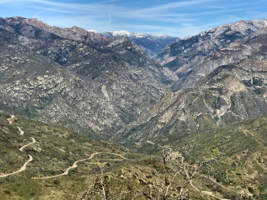
We headed further north until we reached the entrance to Cedar Grove. Being only April, this road wasn’t open yet but we were surprised to find the road to Hume Lake was and we decided to follow it. This was a great idea! After driving a short distance there were some pull-offs that lead to spectacular views of the canyon and the road to Cedar Grove.

The road to Cedar Grove from above.
The view into Kings Canyon

Hume Lake

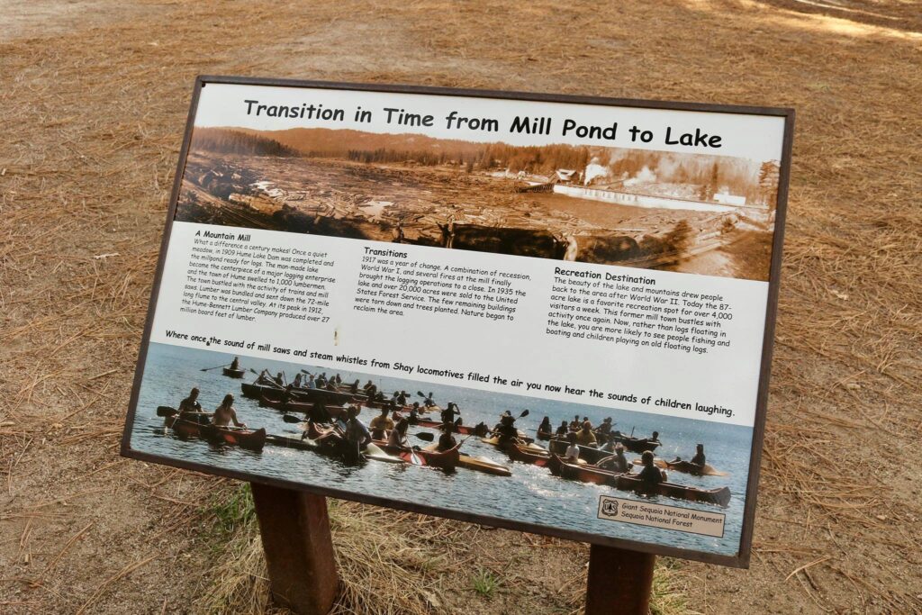
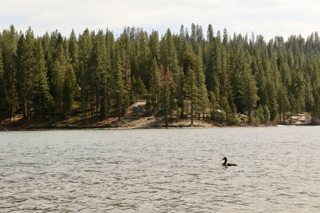
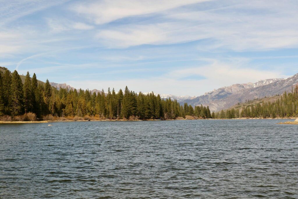
After great views into the canyon, the road descended in elevation before arriving at Hume Lake. This lake was formed when a dam was built by logging interests in the area in the early 1900’s. Photos near the lake show what it looked like choked with logs. When logging ended and the surrounding area was reclaimed by nature, the lake became a destination for recreation. Today it is a fantastic place to enjoy kayaking, standup paddle boarding, or just some quiet reflection in nature.

Subscribe

* indicates required


Sequoia National Park-what to expect when visiting in April

Entrance sign at the southern entrance to Sequoia National Park

A typical spring break destination is not a trip into the mountains but then I have never been a typical traveler. I met up with my brother in California in April and we decided to check out Sequoia and Kings Canyon National Parks. When planning for the trip, I discovered the need to be prepared for a large variation in weather conditions. I was also a bit unclear about what would be open. So after making the trip, I hope to pass on some information to make your travels to the Sierra Nevada range in April a bit smoother. Here is what we found to do!

California Poppy, the state flower, can be seen blooming throughout the state in early April.

The foothills-Three Rivers, CA

The foothills were awash in spring colors. Flowers were blooming everywhere and day time temps were in the mid 70’s or higher. We rented a cabin in Three Rivers through Airbnb. This was a nice gateway community with a few restaurants just a few miles south of the entrance to Sequoia National Park. The Kaweah river flowed past the back of the cabin and provided a very calming setting for our stay.

What I needed, What I didn’t

I overpacked for this trip. Even after checking the weather for all locations I was visiting, I wasn’t sure exactly what I would encounter. Again, I was prepared for a wide range of weather and any trip in another year might see very different conditions. Here is what I found useful on this trip:

  • Comfortable hiking pants
  • T-shirt
  • Fleece jacket
  • Ball cap
  • Hiking Boots
  • Hiking Poles
  • Backpack
  • Water bottle
  • Sun glasses

What I did not use on this trip included:

  • Snow boots
  • Gloves
  • Winter hat
  • Snow pants
  • Winter coat
  • Crampons
  • Tire chains

I had all of these items on hand except the tire chains. If the weather turns snowy, which can happen in April or even May, tire chains may be required and are available to rent from local businesses outside park entrances. I was glad that this trip didn’t require them.

View of the Kaweah River and the Sierra Nevada mountains after entering the park.

What was open, What was not

The General’s highway starting from the Foothills Visitor Center and continuing through Kings Canyon National Park was open along its entire length. Many of the secondary roads were still closed for winter. The following areas of Sequoia National Park were not available in early April:

  • Crystal Cave
  • Moro Rock
  • Tunnel Log
  • Crescent Meadow

Best Stops in Sequoia National Park

Shortly after entering the park, is Tunnel Rock. Viewable from the road, there is also a pull off so you can grab a photo of this iconic spot.

Tunnel Rock

We parked in the Giant Forest Museum area. Here we saw the Sentinel, walked under a giant sequoia lying across the bear hill trail, and strolled around Round Meadow on the interpretive Big Trees Trail.

Fallen sequoia across the Bear Hill Trail
Stops along the Big Trails Trail

My favorite hike of the day combined the half mile Big Trees trail with the .7 mile out and back Sunset Rock trail for a little over 2 miles of walking from the parking lot. I didn’t see this trail on the park map nor had I read about it in any of my pre-trip planning. It was just a trail we encountered and choose to follow before ending our first day in the park. Sometimes these unplanned moments are the best.

What not to miss-General Sherman

Our second day in the park required an early start. I wanted to see General Sherman, the world’s largest Sequoia tree, but not compete with crowds. We parked in the main lot here. The walk to the tree was just under 1-mile in length but I would recommend strolling along the Congress trail as well to take in different views of the General Sherman tree, walk through a fallen sequoia, and see other majestic sequoias along the way.

The General Sherman Tree is not the tallest and it is not the widest, but its total volume makes it the largest tree on earth. It is also not the oldest, at roughly 2200 years old, it is 1000 years younger than the oldest trees. Standing in front of it though, with all its burn scars on display, one feels its wisdom. This tree has persevered and that in itself has been enough. It serves as a powerful reminder to all who view it that you don’t need to be all the “est’s”, but in persevering, one can be enough.

Subscribe

* indicates required


Verified by MonsterInsights