One of American’s newest National Parks, Indiana Dunes National Park was established by an act of congress in 2019. This made it the 61st national park in the country, but Indiana Dunes had been managed by the park service since 1966 when it was dedicated as a National Lakeshore.
We have visited this park twice, once in 2011 and again in 2020 after it had gained National Park status. Here is what we found to do!
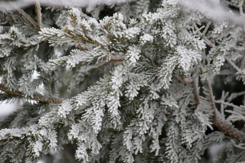
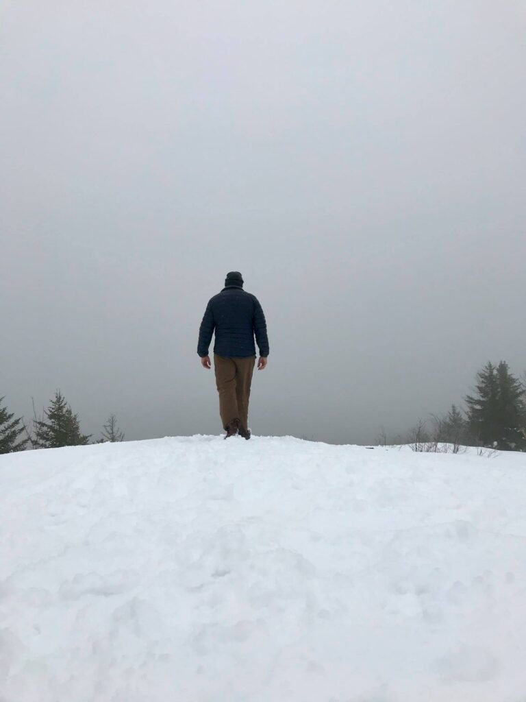
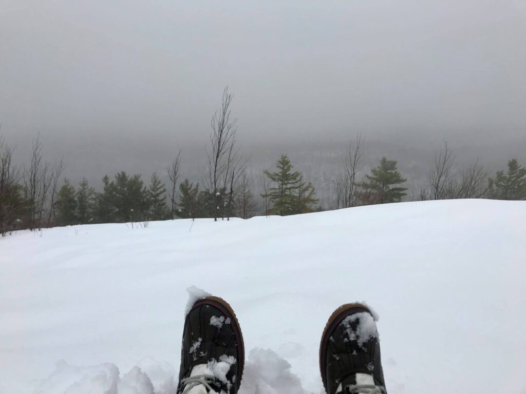
Hiking to the top of Mount Baldy and getting ready to hit West Beach on a family trip in 2011.
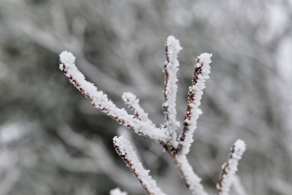
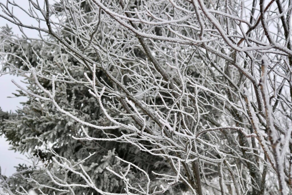
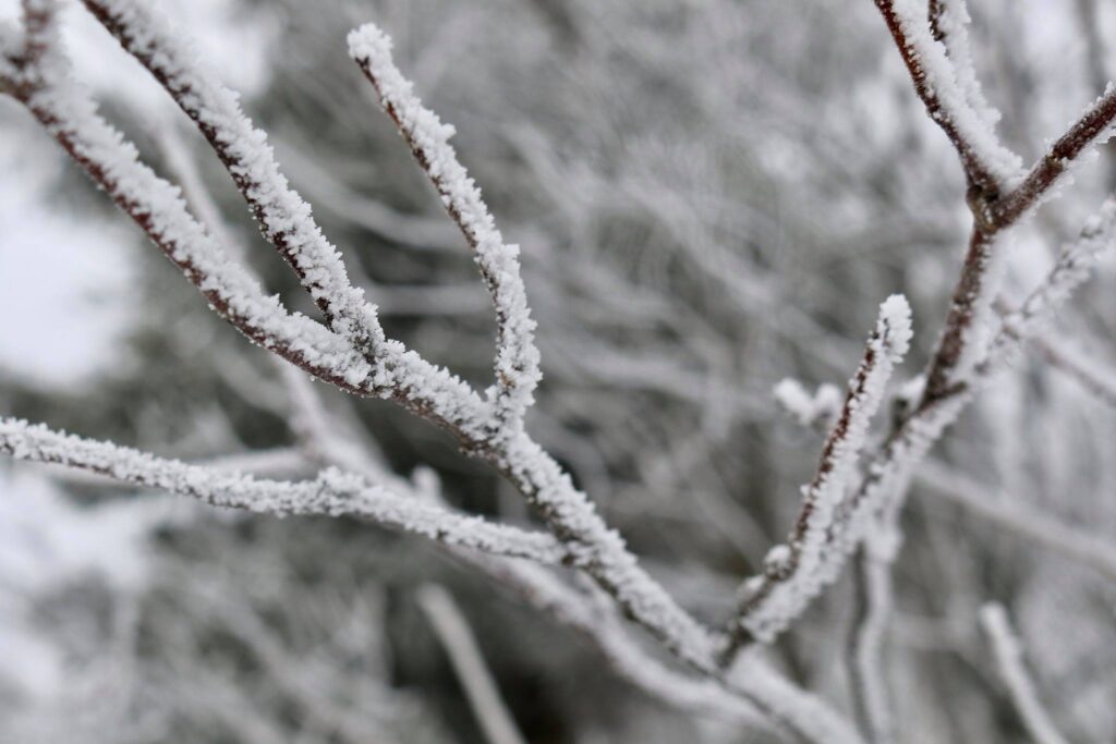
Both trips were just an afternoon spent at the beach as a stop on the way to traveling somewhere else. I really try to make the most of a road trip by taking advantage of the journey en route to the final destination. In 2011, the trail to the top of Mount Baldy, the park’s largest dune was still open to the public, so of course, we had to climb it! Today, the summit can only be reached on a ranger-led tour, stop at a visitor center in the park for more information.
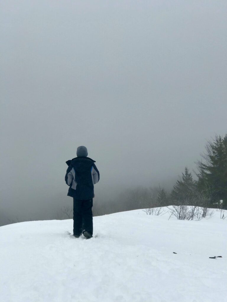
Though less than a mile in length, a sandy trail can be difficult to walk in. The children collapsed at the top of Mount Baldy.
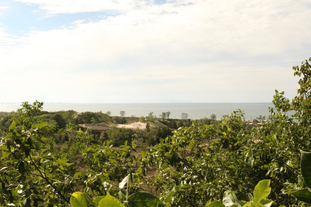
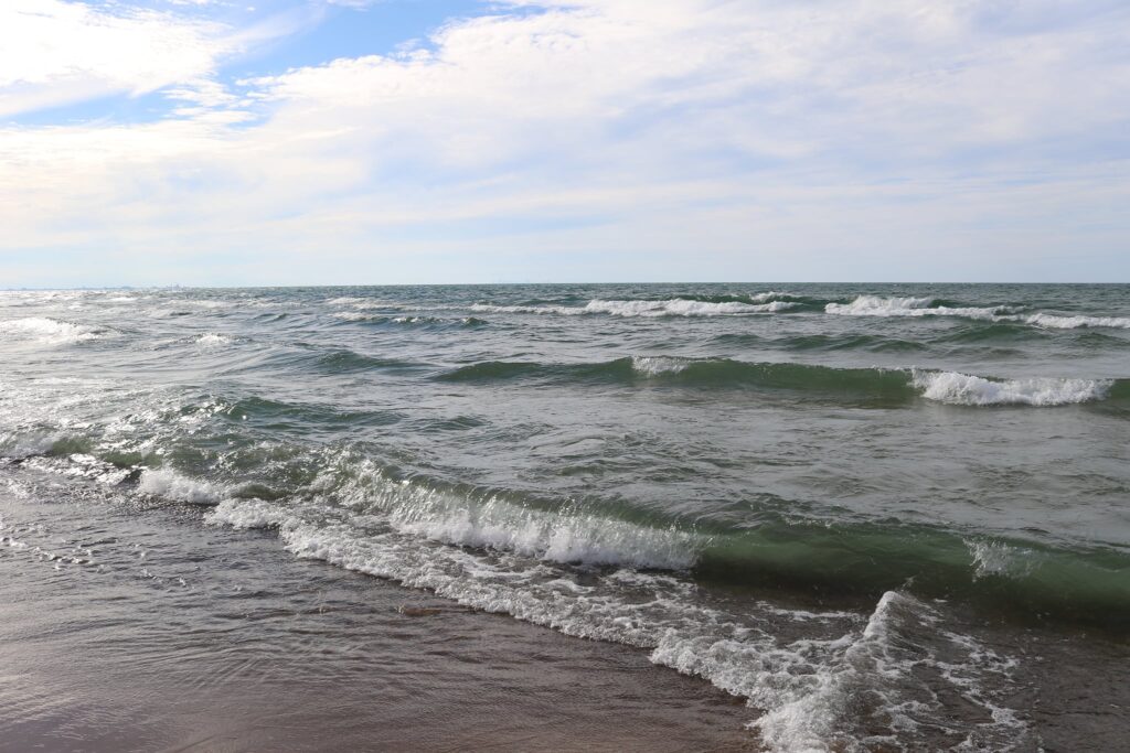
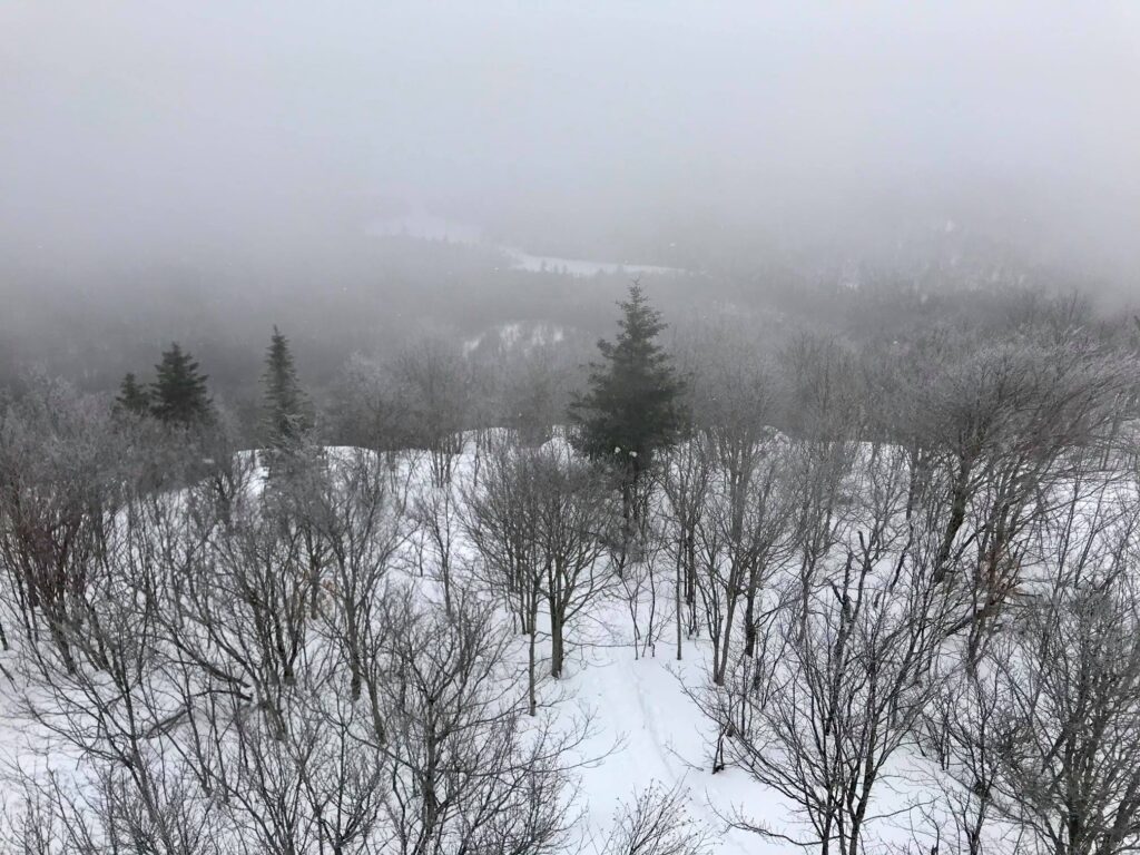
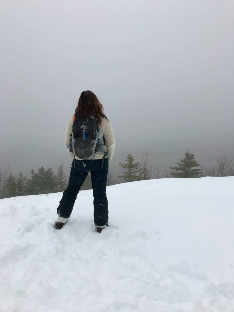
On our more recent visit in the summer of 2020, we headed straight for West Beach. We had stopped here on our previous visit and thought it would make a great place for a picnic supper and walk to stretch our legs.
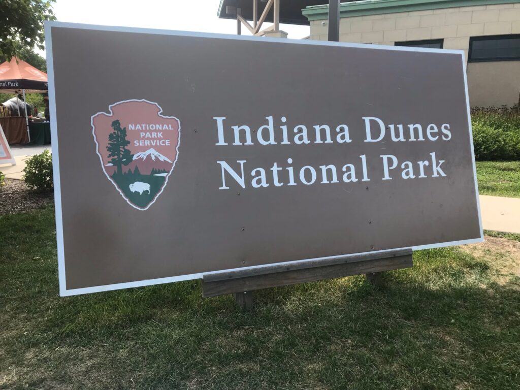
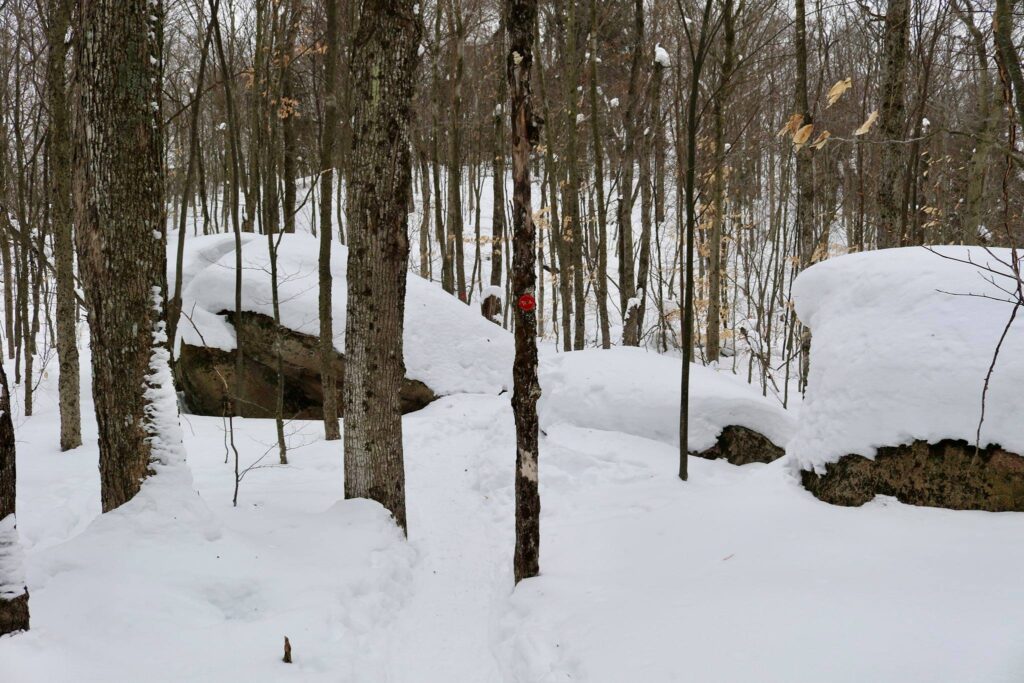
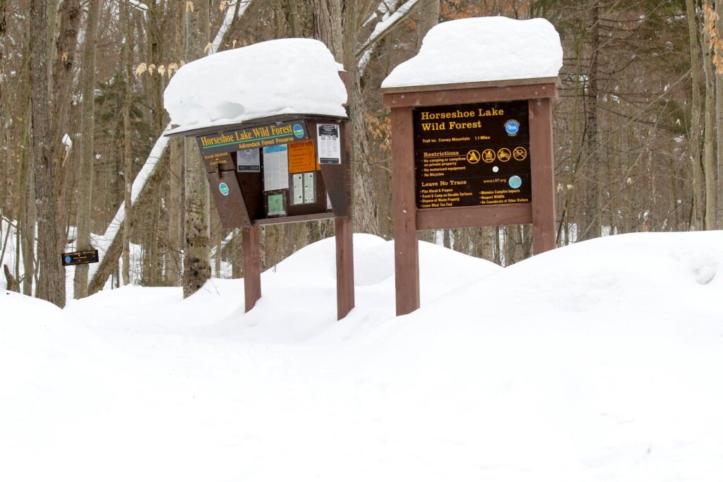
Welcome signs then and now.
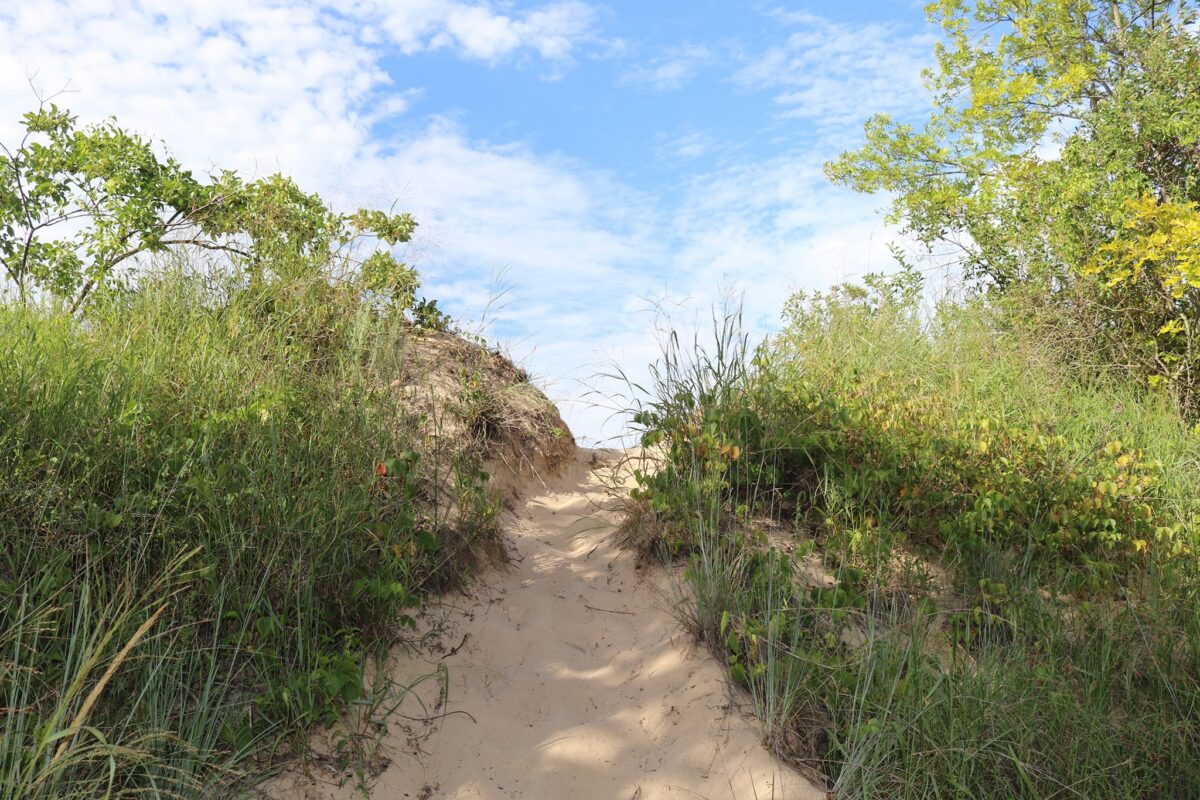
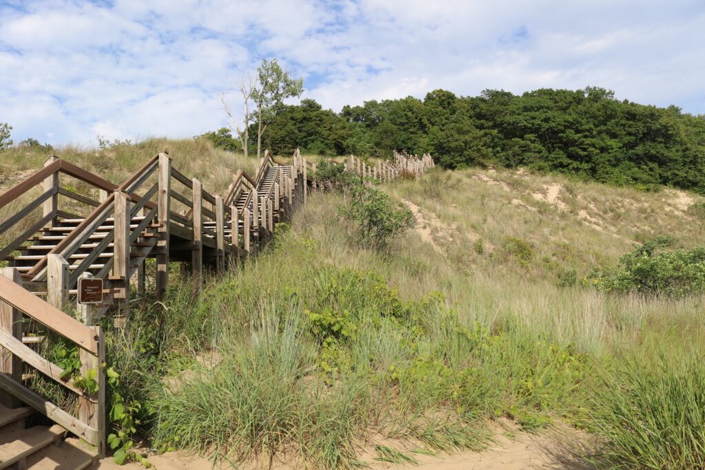
After dinner in the picnic area near the parking lot, we headed to the beach via the Dune Succession Trail. Information about the trail, as well as a map, can be found on the National Park Service website here.
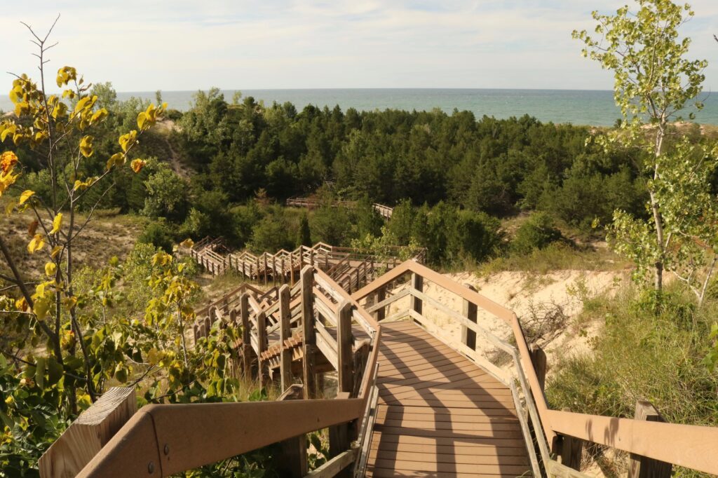
Stairs at the start of the Dune Succession trail.
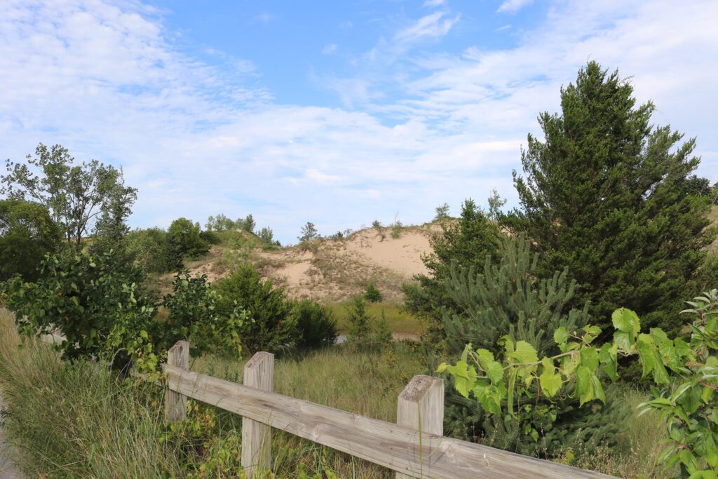
Some of the difficulty in climbing over a sand dune is mitigated by wooden boardwalks and stairs. The entire loop was just about a mile in length with the most difficult climb being right at the start.
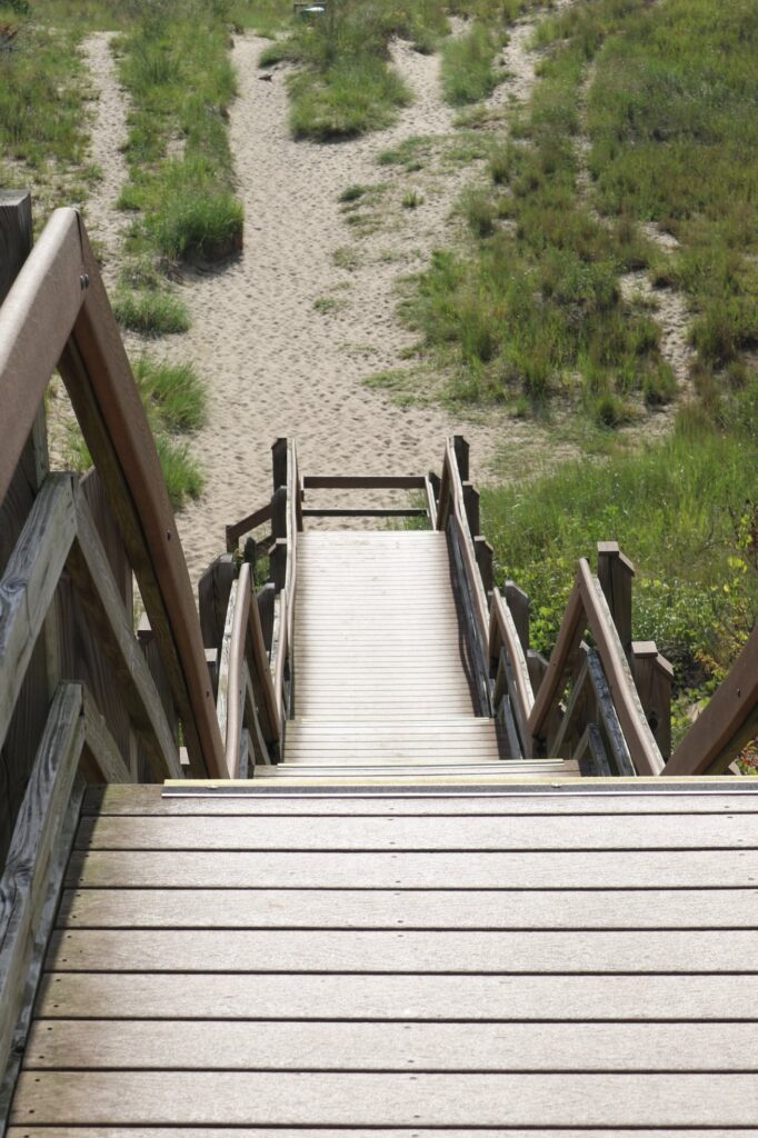
Looking back at the trail we just climbed.
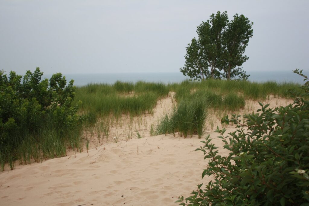
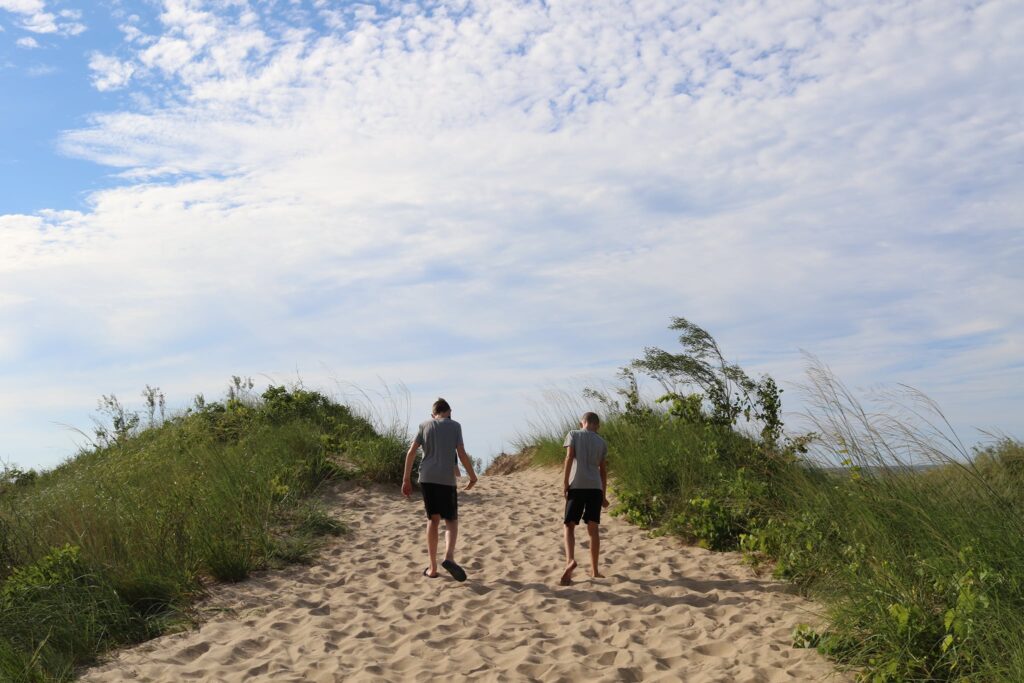
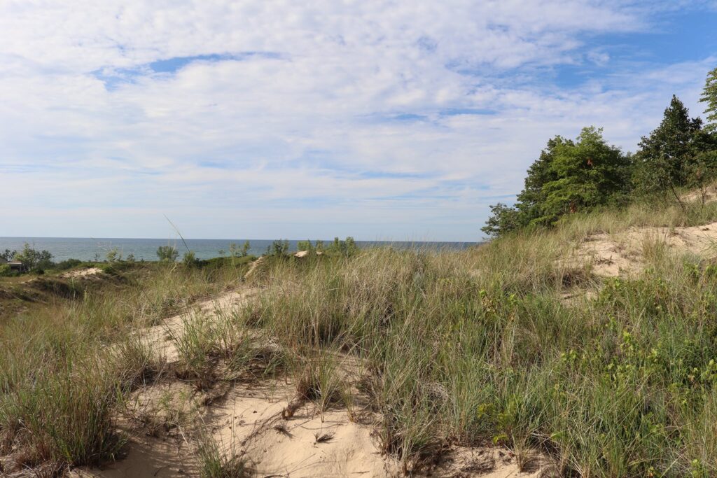
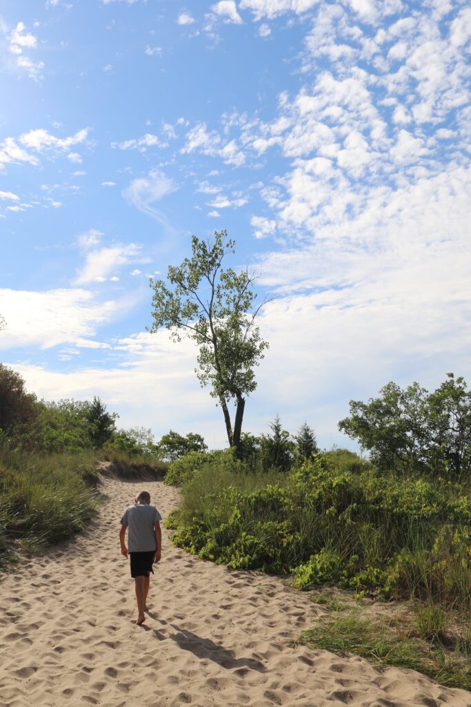
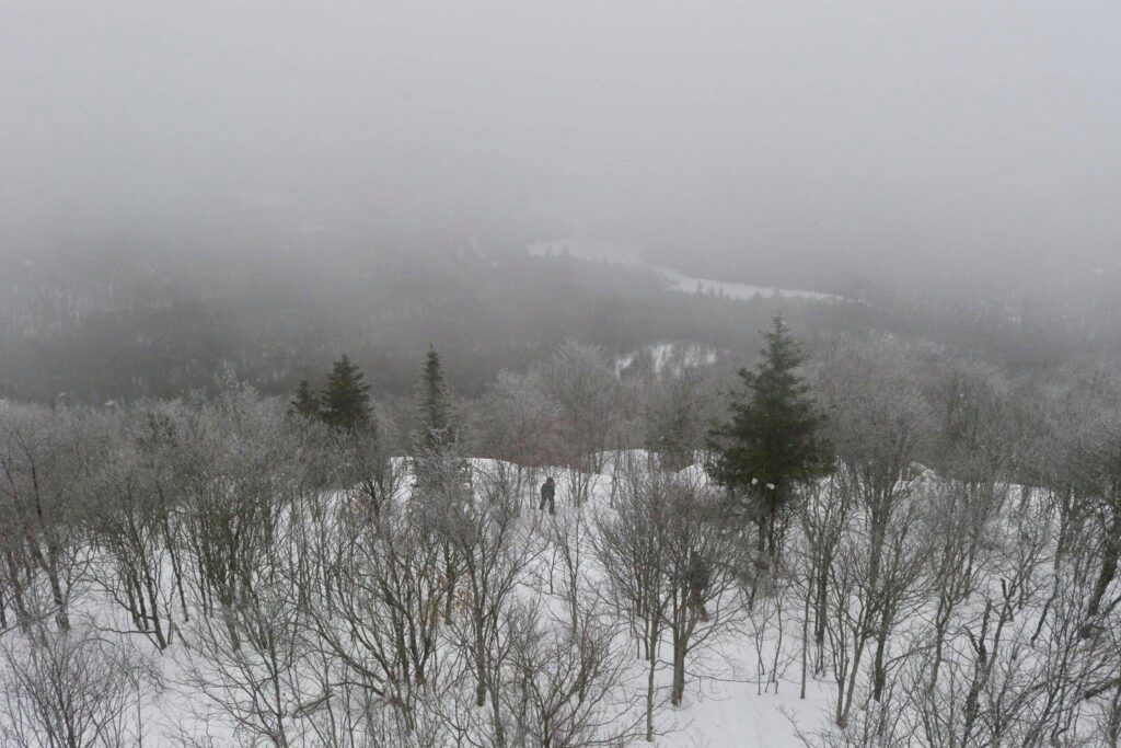
At the crest of the dune, the stairs give way to sand and views of lake Michigan appear.
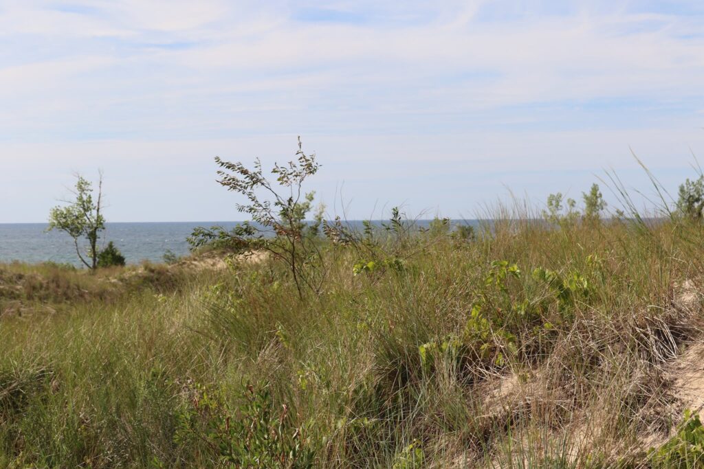
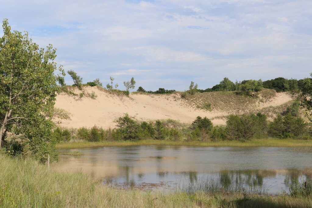
The boardwalk then returns to ferry you to the shore of Lake Michigan. Along the trail there is evidence of all stages of dune development in reverse. Part of the trail walks through a forest of Jack Pine. Closer to the water, there are Oak and Cottonwood trees becoming mixed with grasses and then finally the sandy shores.
After admiring Lake Michigan for a bit, we walked back through the park beach house to a paved path back to the parking lot, enjoying more great views along the way.
With beaches, biking trails, miles of hiking, and so much more, Indiana Dunes could be a whole vacation destination. Just as great though, is seeing this spot as a stop for a few hours of playtime when passing through northern Indiana. I encourage you not to overlook it. It is a great stop to have a picnic meal, take a quick dip in the lake to cool off, or watch the sunset before getting a hotel for the night.
Life is a journey, after all, not just a destination. Find joy whenever you can.
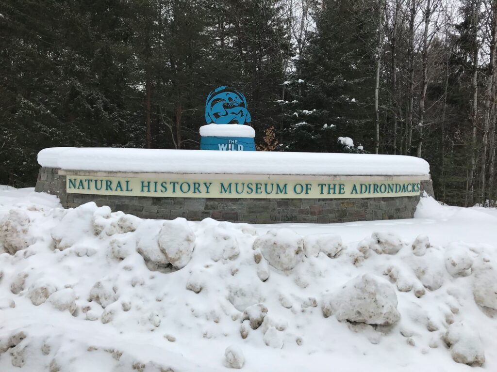
I love any organization with a conservation message and The Wild Center is a perfect example. Their mission is “to ignite an enduring passion for the Adirondacks where people and nature can thrive together and offer an example for the world.”
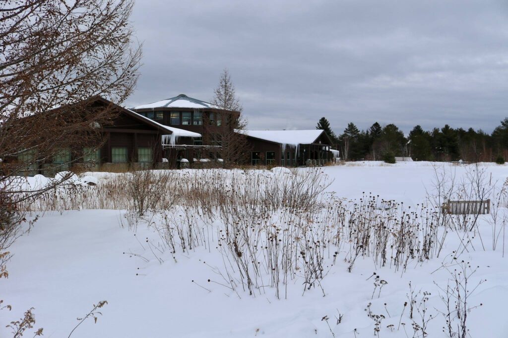
I had wanted to visit The Wild Center for a while, but being 7 hours from my home, it was a bit far away for a weekend trip. We took advantage of a February break from school and visited in winter. I thought we might be missing out on some of the summer novelties by going in winter and due to ongoing Covid-19 precautions, all indoor attractions were closed, but there was actually plenty to do! The Wild Center is located just outside the village of Tupper Lake, you can find it here.
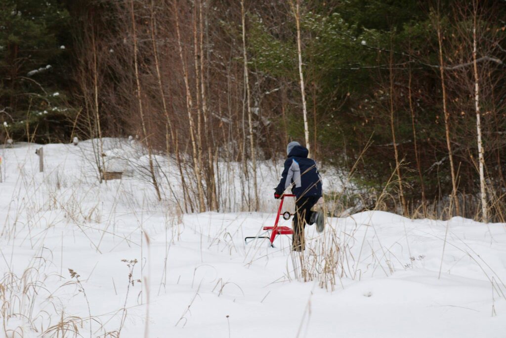
We booked tickets online in advance. This gave us a window of time to arrive so that there were no crowds. The first activity we tried out were the kick sleds. Set up around the back of the building were several looping trails. The kick sleds were kind of like dog sleds without the dogs, the kids loved them.
Trying out a kick sled.
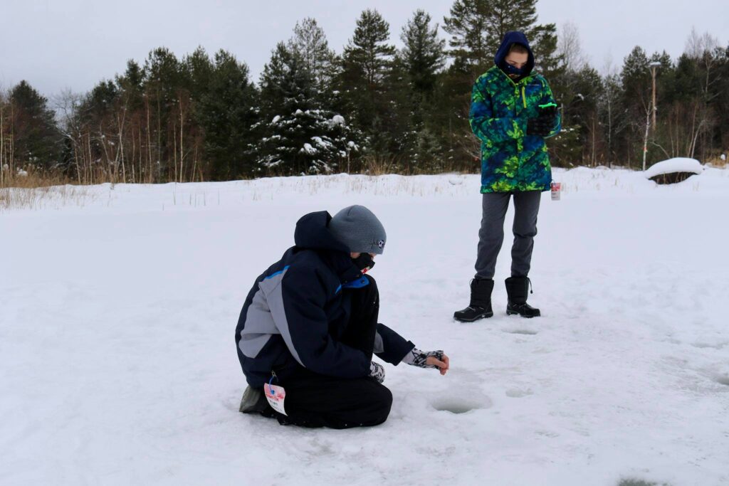
Set up on the frozen pond next to the kick sled trails were ice fishing holes. A member of the Wild Center staff was also on hand to hand out fishing equipment, bait, and answer questions! We didn’t catch anything, but we learned a little bit about ice fishing.
Ice fishing
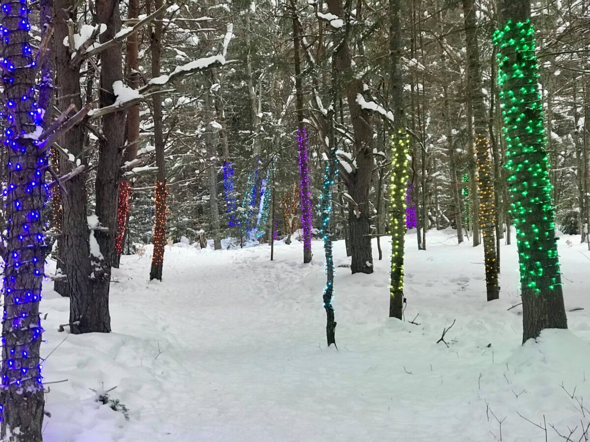
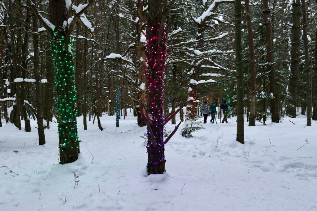
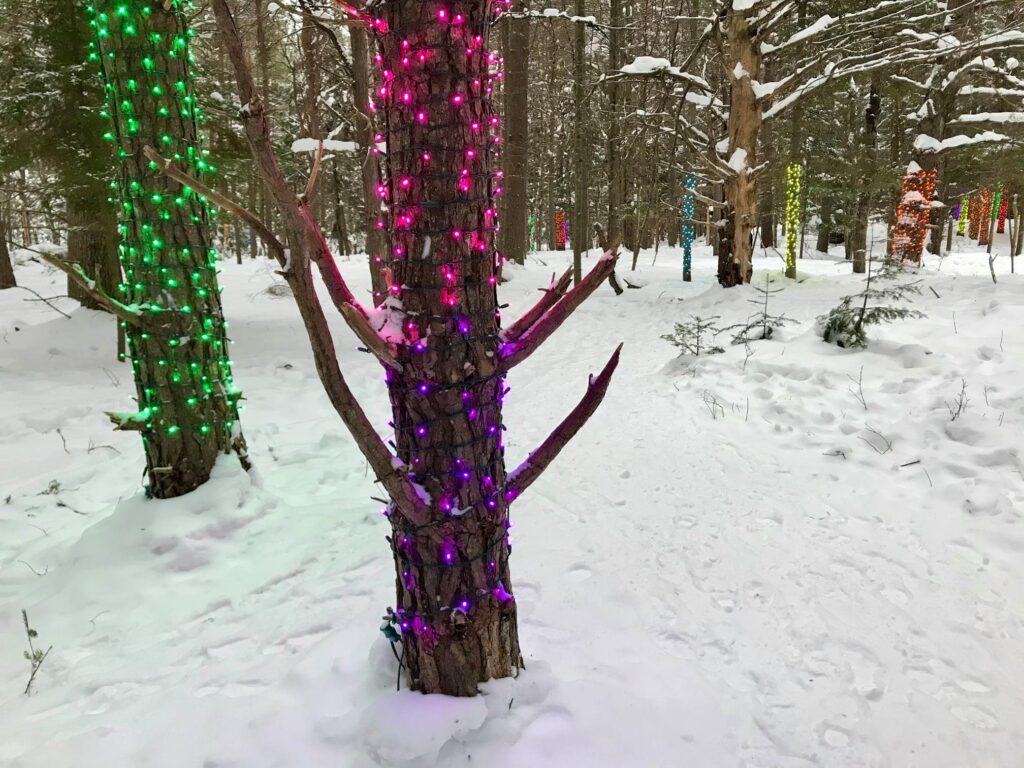
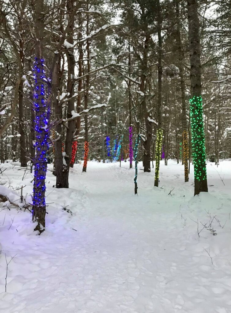
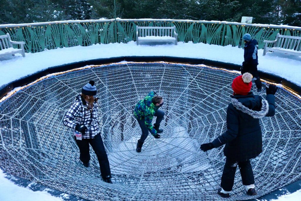
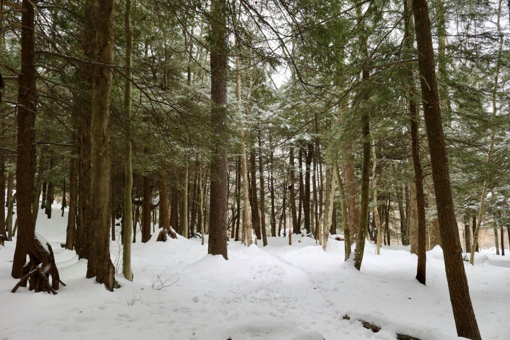
After ice fishing, we headed out to walk through the forest on the Wild Lights Forest Music trail. This part of the park had trees wrapped in colorful lights, ice sculptures, and atmospheric music. It was my favorite part of the park.
Wild lights forest music
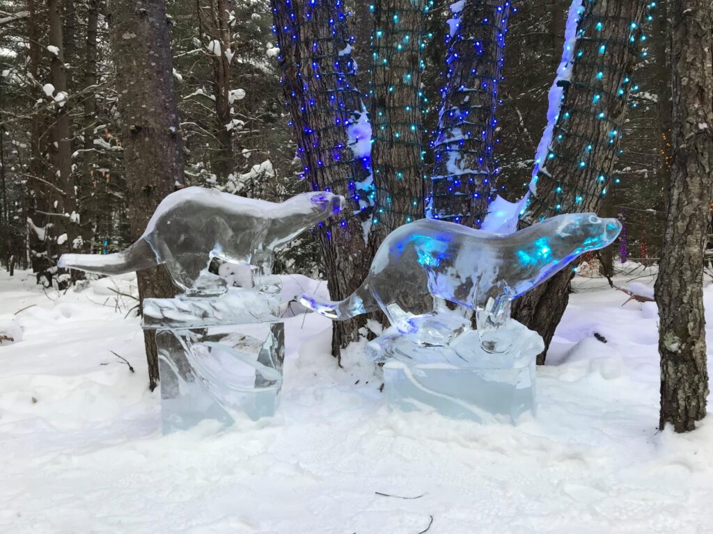
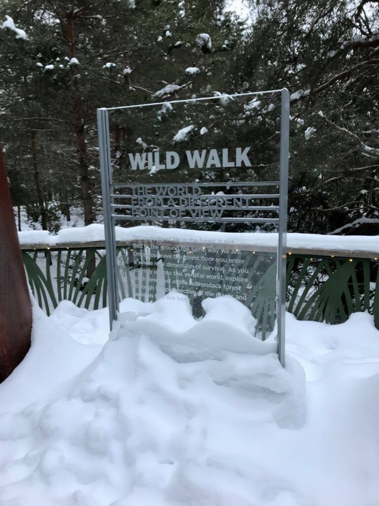
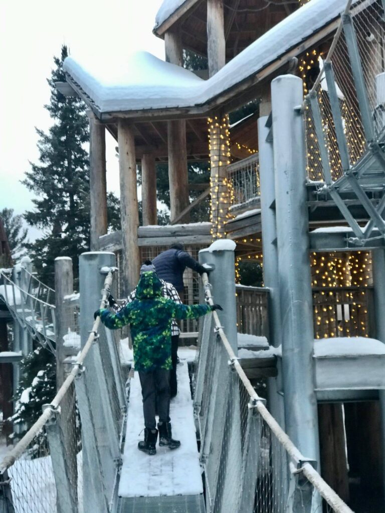
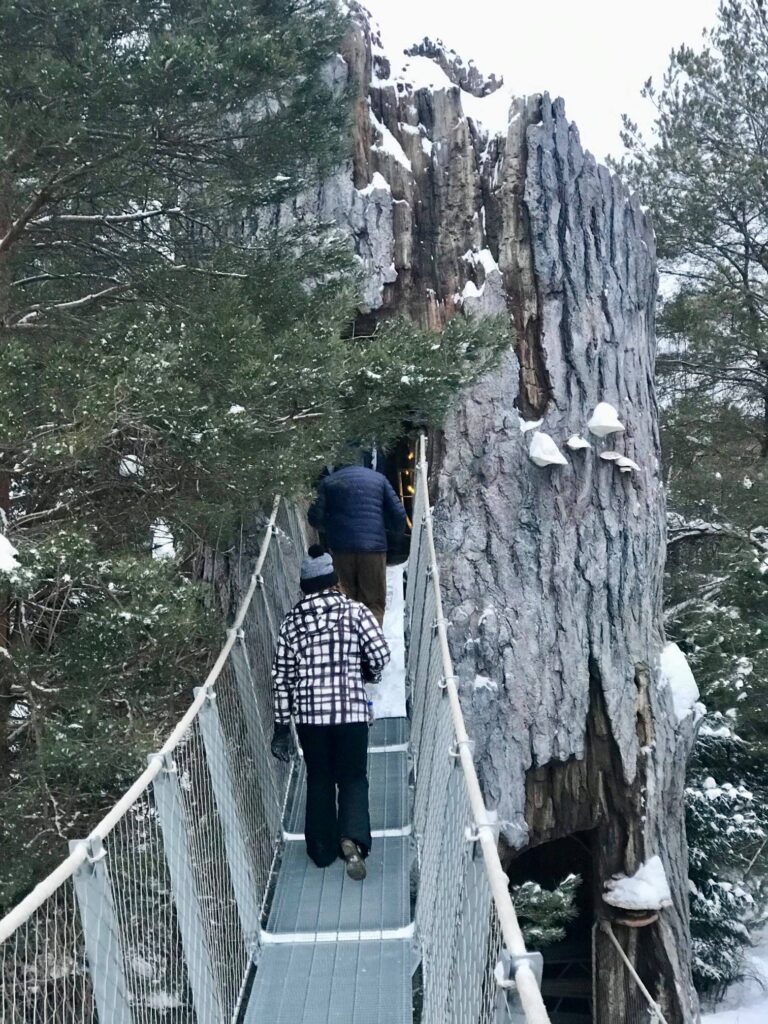
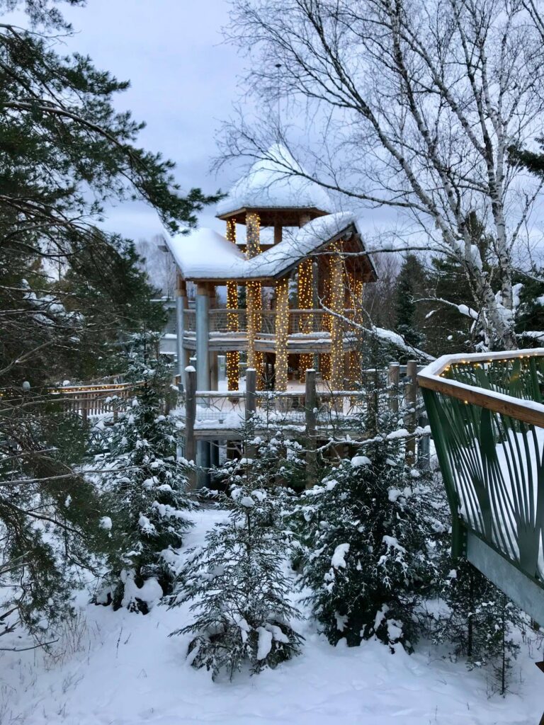
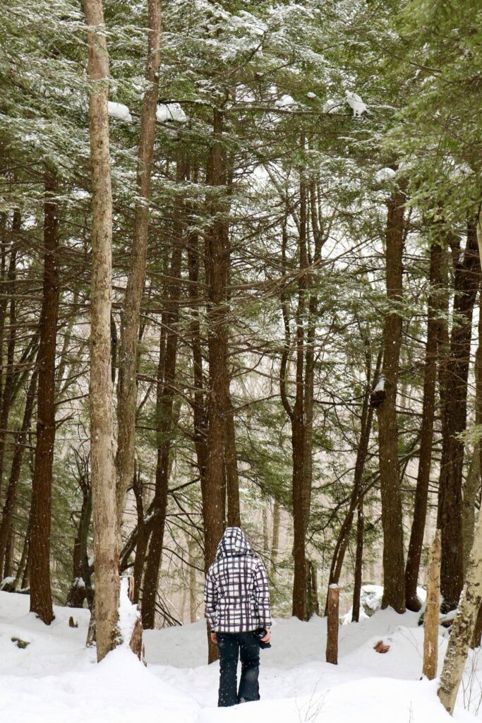
The park really had a lot to offer winter adventurers. We saw otters playing in their winter habitats. There were some captive birds of prey on display and even an elusive porcupine. We spent time in front of an outdoor fire and reclined in Adirondack chairs made entirely of ice. The last attraction we checked out was the Wild Walk and this proved to be the favorite activity for the kids. It was also lit up and open after normal closing hours as part of the Wild Lights special event that was going on during this February break and throughout select winter weekends.
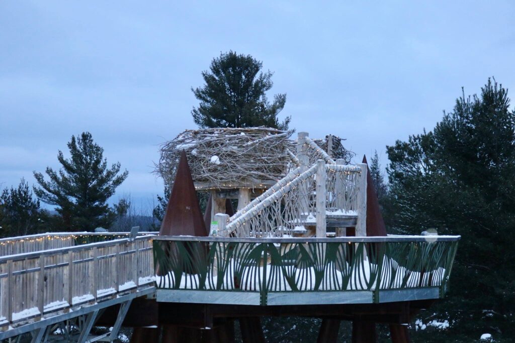
The Wild WalkReplica eagle’s nest on the Wild Walk
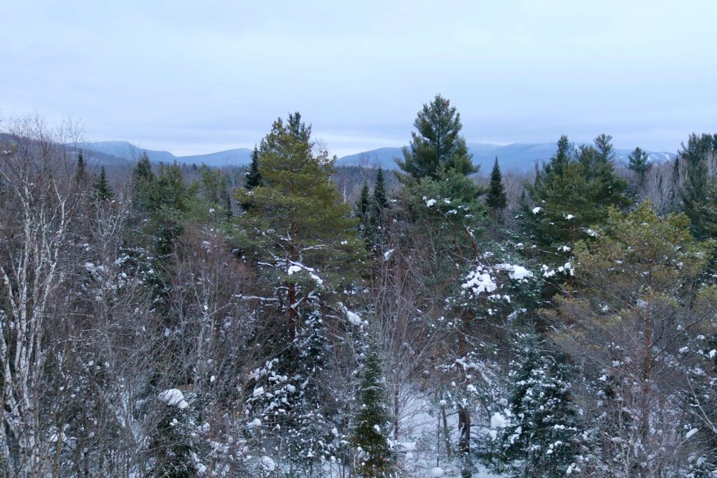
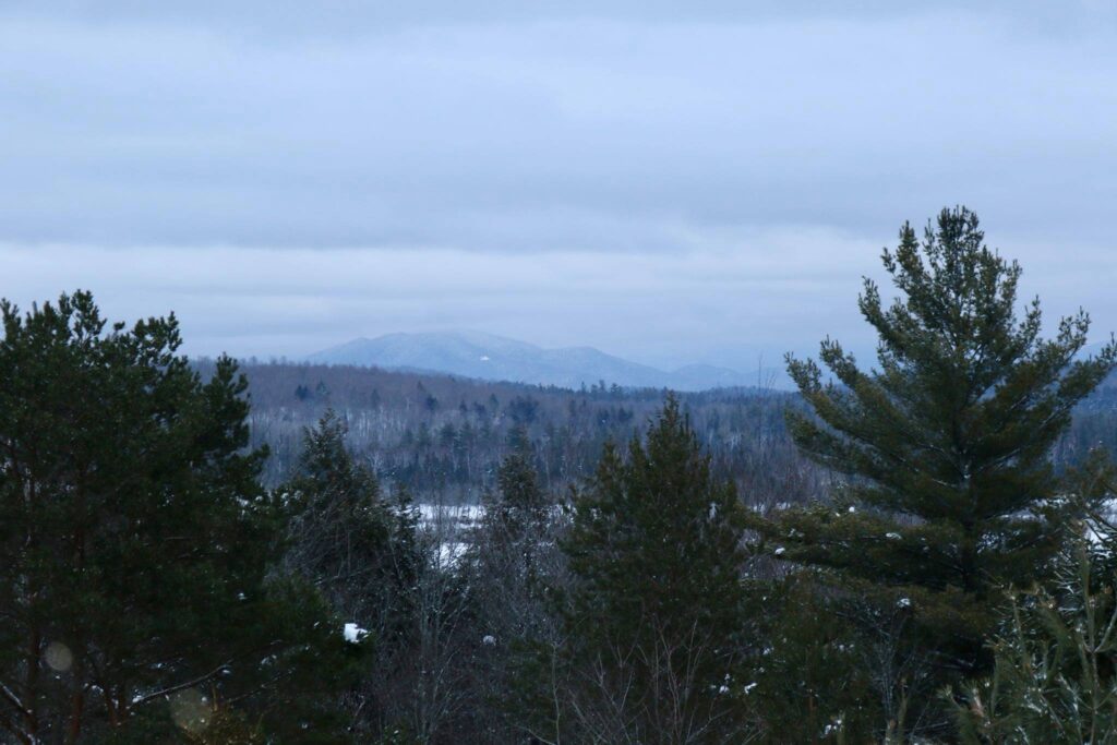
View from the Eagle’s nest.
We all squealed as we tried to stay upright on the giant spider web.
Trying out the Spider’s Web on the Wild Walk.
So if you are in the Tupper Lake area, follow our example and visit the Wild Center where you can see for yourself the connections between people and nature and maybe even take a little bit of the Wild Center spirit home with you.
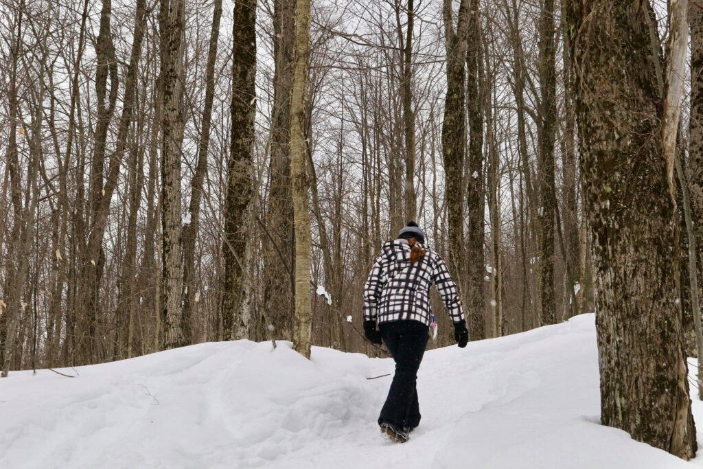
For a change of scenery, we headed to the Adirondacks in February. I had three goals, to visit the Wild Center in Tupper Lake, to relax in a cozy cabin, and to hike the Tupper Lake Triad! We used Airbnb to find a cabin for 3 nights and booked advanced tickets to the Wild Center then packed up all our warmest gear and set out! This post will take you on my quest to complete the three summit hiking challenge centered near Tupper Lake.
Mount Arab
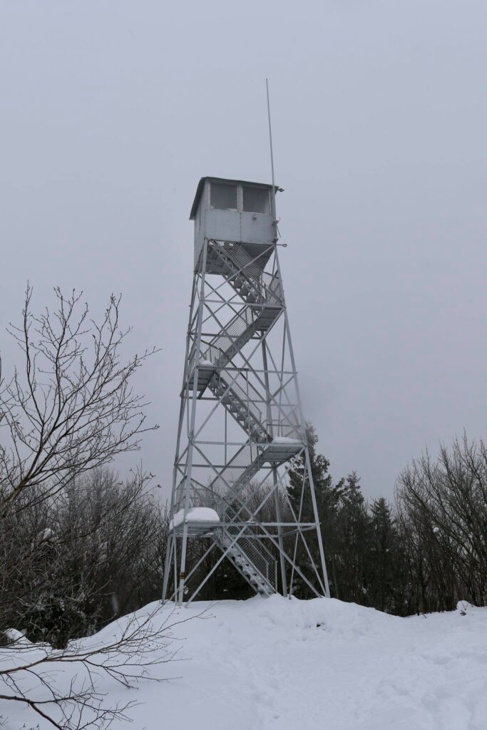
The Tupper Lake triad can be hiked in summer or winter and consists of three small peaks. This will not cross any 46ers off your list, but they are also not to be taken lightly! The first hike we attempted as a family was Mount Arab. It was the shortest of the 3 hikes at 2.0 miles round trip, but also the steepest with an elevation gain of 764 feet over 1 mile.
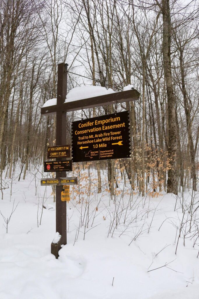
Mount Arab fire tower trailhead
The trailhead was easy to find and even with recent snowfall, the roads were clear. The parking area can be found here.
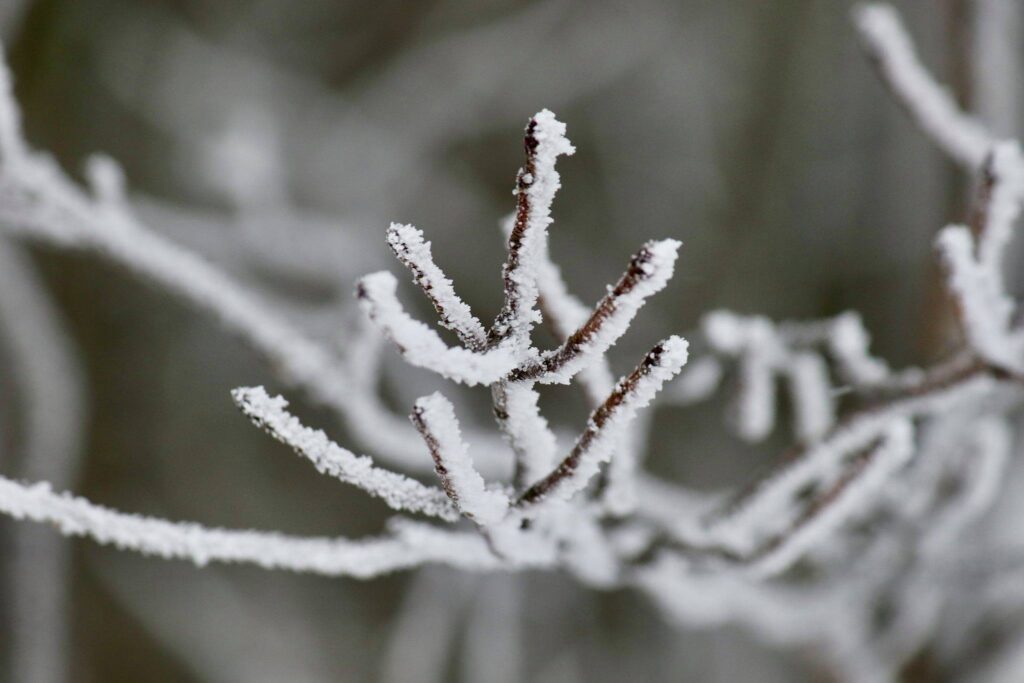
Depending on which family member you ask, the hike up was either grueling, miserable, challenging, or fun. The trail was well packed with evidence of hikers, snowshoers, dogs, and even skiers preceding us. We had a couple of pairs of crampons, but one adult and two kids just hiked in winter boots. As we neared the top, the vegetation became icy. It was a cold day, in the upper teens.
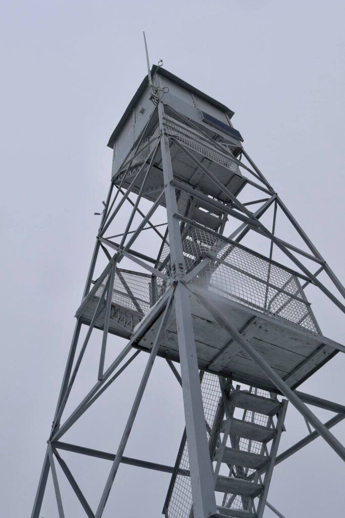
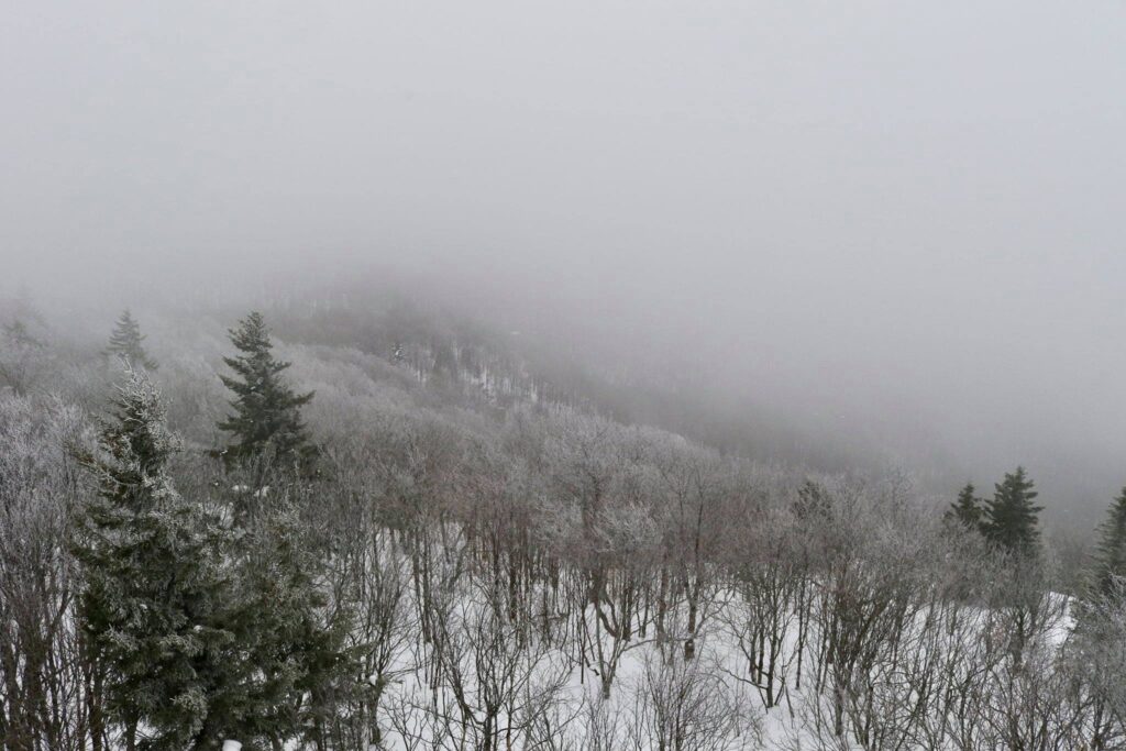
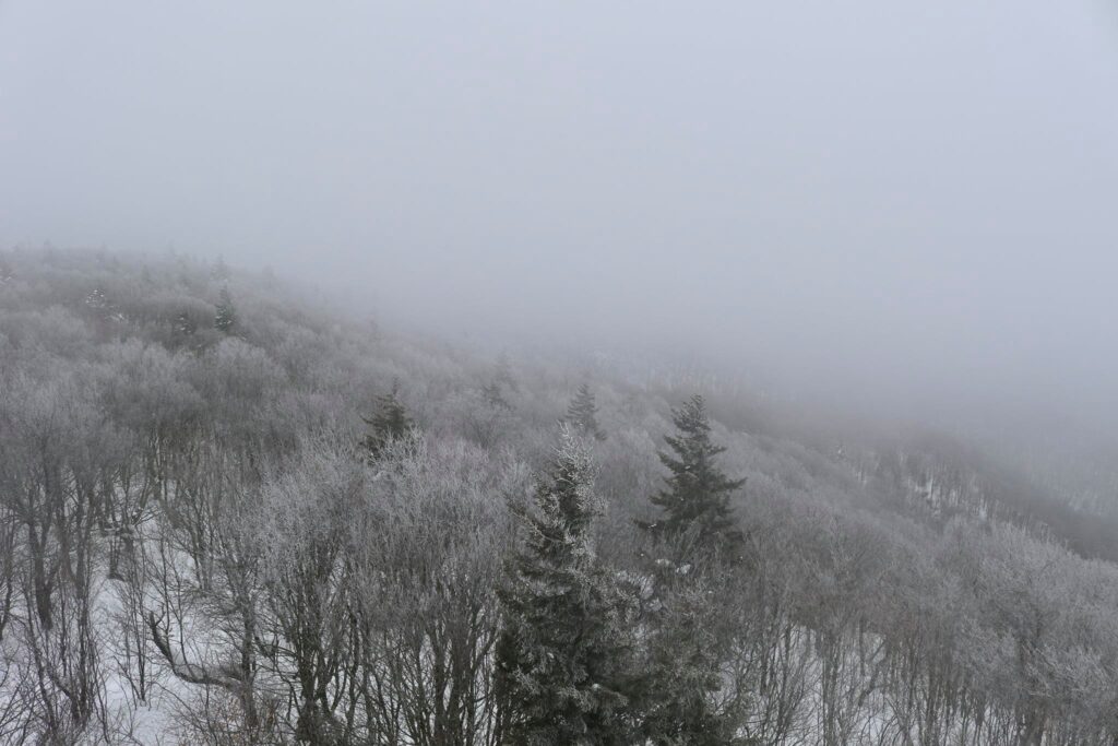
At the top, three of us climbed the fire tower. Though the view was obscured by the incoming snow, the feel of the cold and sting of the wind made it an invigorating experience.
Mount Arab fire tower
The view from the top of the fire tower
The descent was much quicker. The steepness of this trail occasionally allowed (required?) some sliding down on our bottoms. It was nice to hear the squeals of happy children and not their whines of discontent.
I hung back to enjoy a moment of quiet and my family beat me back to the van. I returned to see my youngest lying in the snow, tired but clearly pleased by his accomplishment.
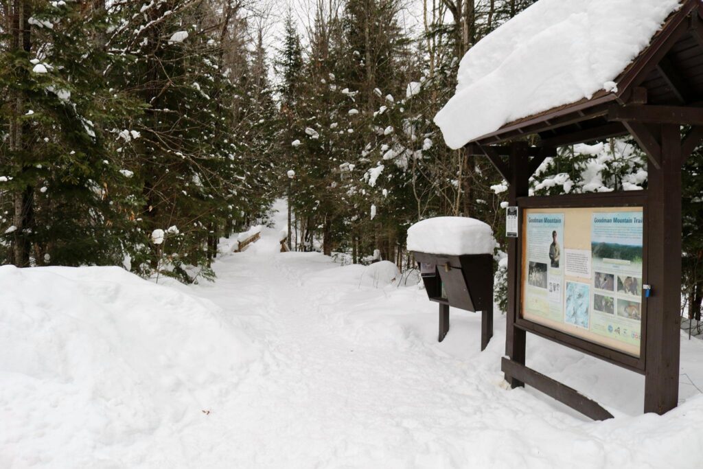
Goodman Mountain
Day 2-The adults set out for an early morning solo hike while the kids did what teens and preteens like best, lounge. In our house, this means watching TikToks and playing Minecraft. Sigh. But it is vacation, right? Everyone should get a chance to relax.
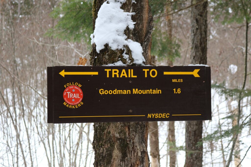
The Goodman Mountain hike was the longest in the challenge at 3.2 miles. It was much gentler in its ascent though, rising 581 feet over that first mile and a half.
Goodman Mountain trailhead
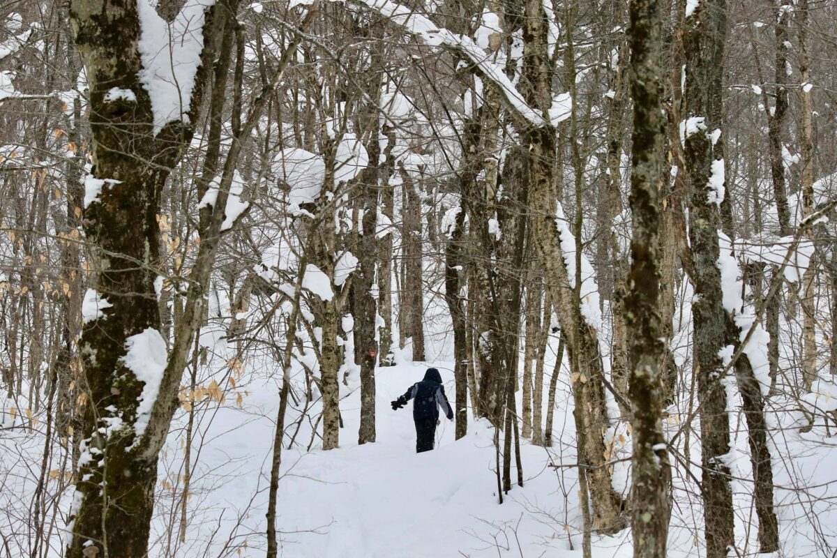
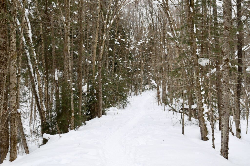
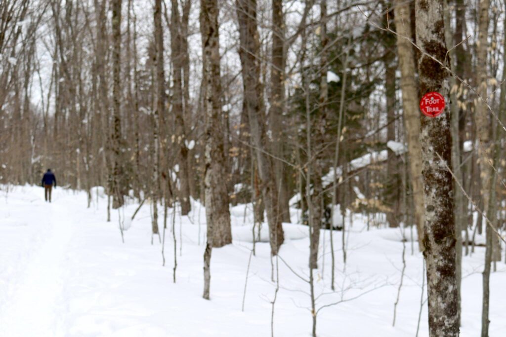
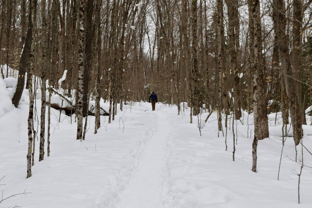
The trailhead is located right off of route 30, just south of Tupper Lake. The walk started very gradually. It was nice to breathe the fresh air and hear the quiet. My husband and I walked along, mostly in silence. Compared to the previous day’s moderately strenuous climb to Mount Arab, this was a much more leisurely hike.
A quiet walk along a quiet trail.
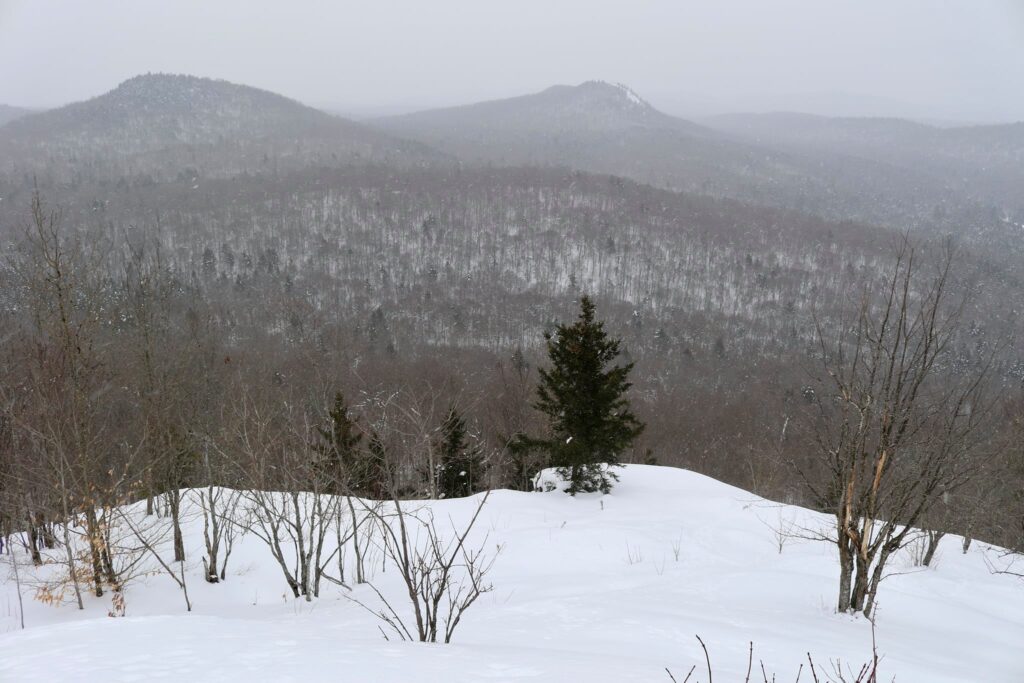
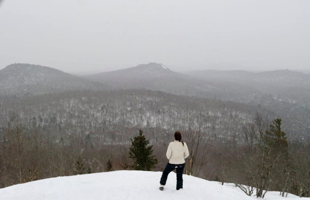
Once at the top, we sat on a rare, exposed rock and took in the view. The snow was starting to fall again. It was lovely.
View from the top of Goodman Mountain.
Coney Mountain
Day 3 and our final hike in the challenge. This time the kids came with us! But did everyone make it to the top?
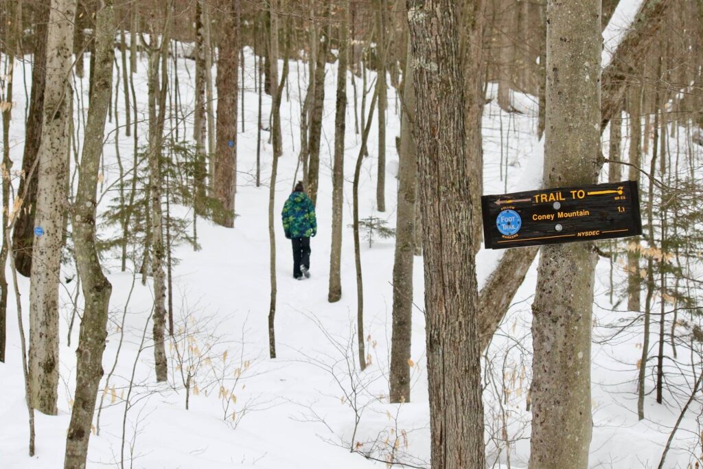
The Coney Mountain trail (trailhead parking found here) was 2.2 miles roundtrip with an elevation gain of 548 feet. The parking area was at the top of a slight incline that had not been plowed. Our minivan made it up on the second try, but on very snowy days, it might be a better option to park on the side of Route 30. The difficulty of this hike was compounded by the 6 new inches of snow that had fallen the night before. We were not the first to break trail that morning, we met a pair of snowshoers coming down, but this hike did require a bit more energy with each step.
Coney Mountain trailhead.
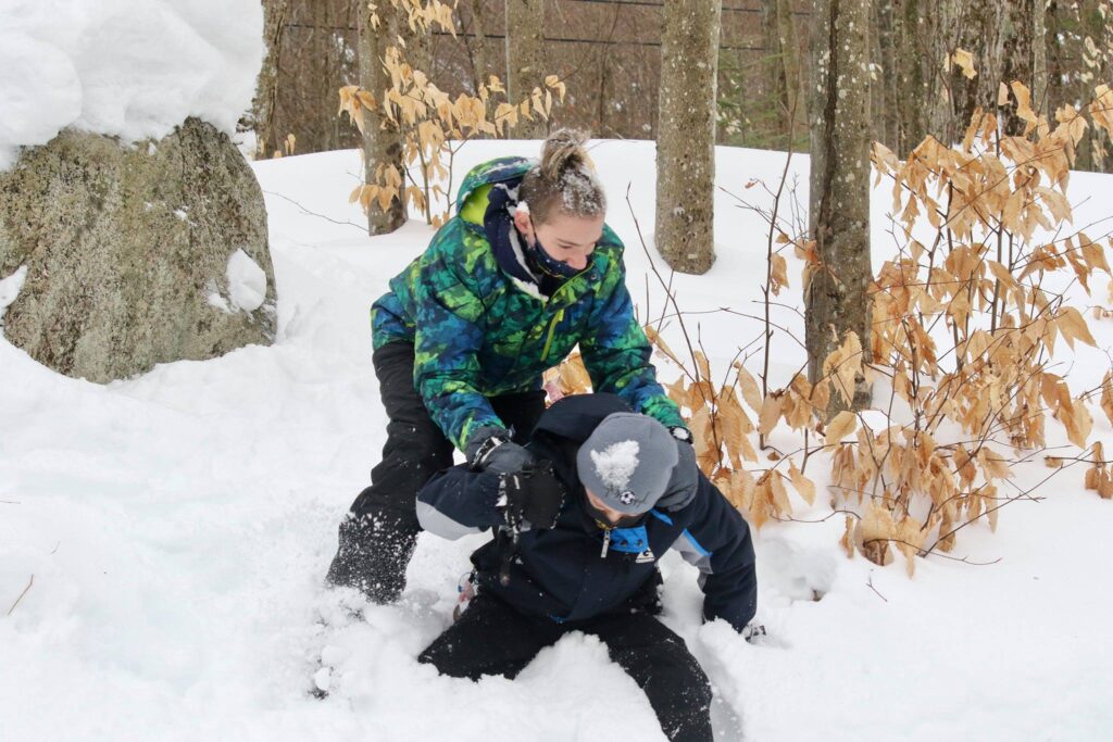
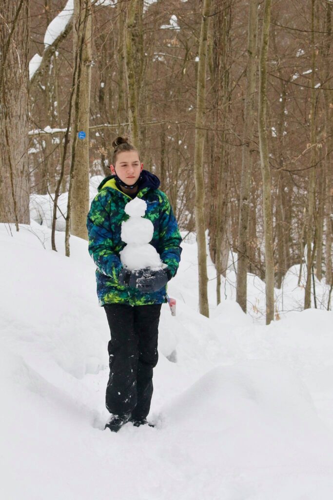
We set out in two groups, as child 2 had fought with child 3 and child 3 was refusing to hike with child 2. We eventually passed child 2 on the trail. He opted out of the summit in favor of snowman building.
The scene preceding our venturing up the trail in two separate groups.The start of something bigger.
Though not as long as the trail to Goodman Mountain and not as steep as Mount Arab, this was a pretty tiring hike. I passed child number 1 about two tenths of a mile from the summit. She was resting and drawing hearts and names in the snow. I did not think I would see her at the top.
My husband was the first to the summit. The snow had turned to rain, not at all what I was expecting after two days of brutal cold, and the view was mostly obscured by the fog. He turned back to catch up with the older kids while my youngest and I sat for a minute and enjoyed our accomplishment.
The first to the summit!
We check out the “view”.Sending some encouragement down to his siblings.
Despite the youngest’s encouragement for his siblings to join us. We sat alone at the top for a few minutes. I hope that someday he will remember this conversation and that my words will help him to overcome future struggles. At the beginning of this hike, he did not want to go. At all. He was mad at his brother, the snow was deep, but he put one foot in front of the other and started climbing. When we were tired, we rested, but we didn’t stop. He didn’t give up. The feeling of accomplishment at the top was his reward. Life is full of ups and downs. I want him to remember that and to push through difficulty until the next summit is reached.
If you would like inspiration for your next adventure, subscribe below! You will get an email for some of my future blog posts.
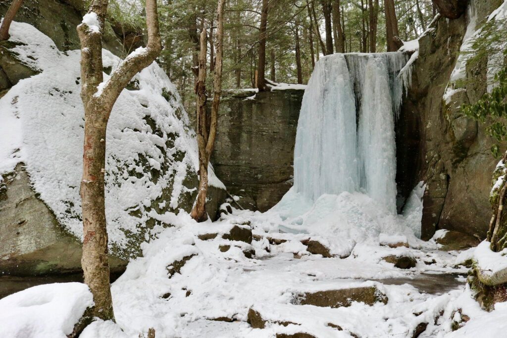
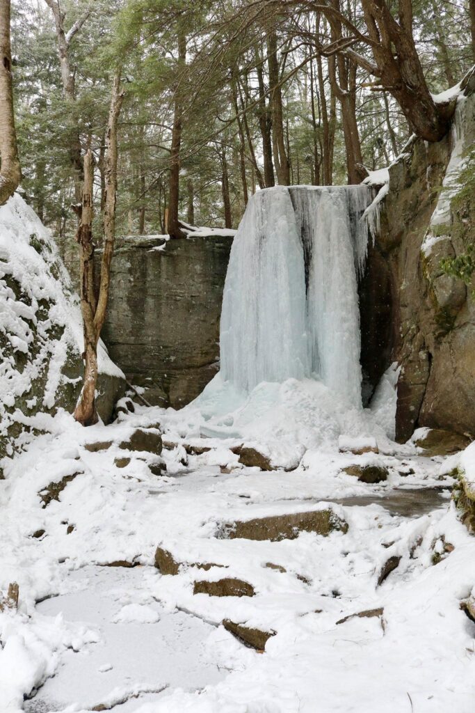
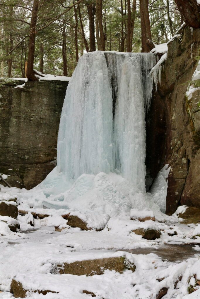
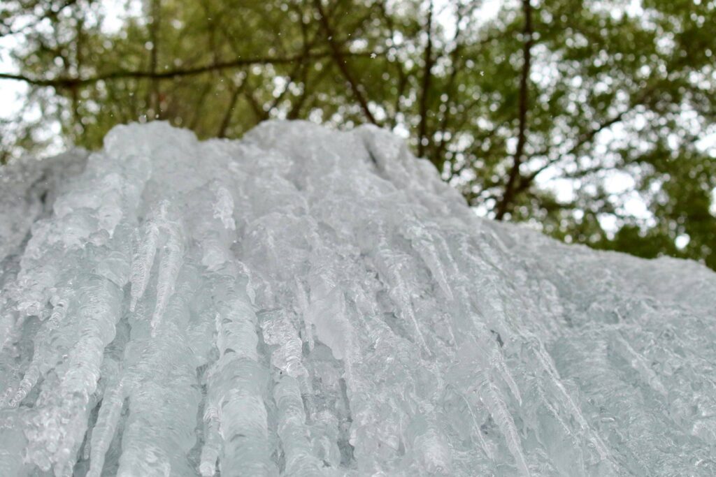
On a trip up to the Adirondacks to do some winter hiking, we decided to break up the drive by stopping to see Salmon River Falls near Pulaski, NY in Oswego county. It took us a bit longer than planned to arrive, as a section of bridge was out on Route 22 and we had to retrace our path to approach it after the bridge, but otherwise, it was easy to find. If you are traveling this way in the winter or spring of 2021, take Hog Back Road to 22 North to avoid the closure. The parking area is located along Falls Road here.
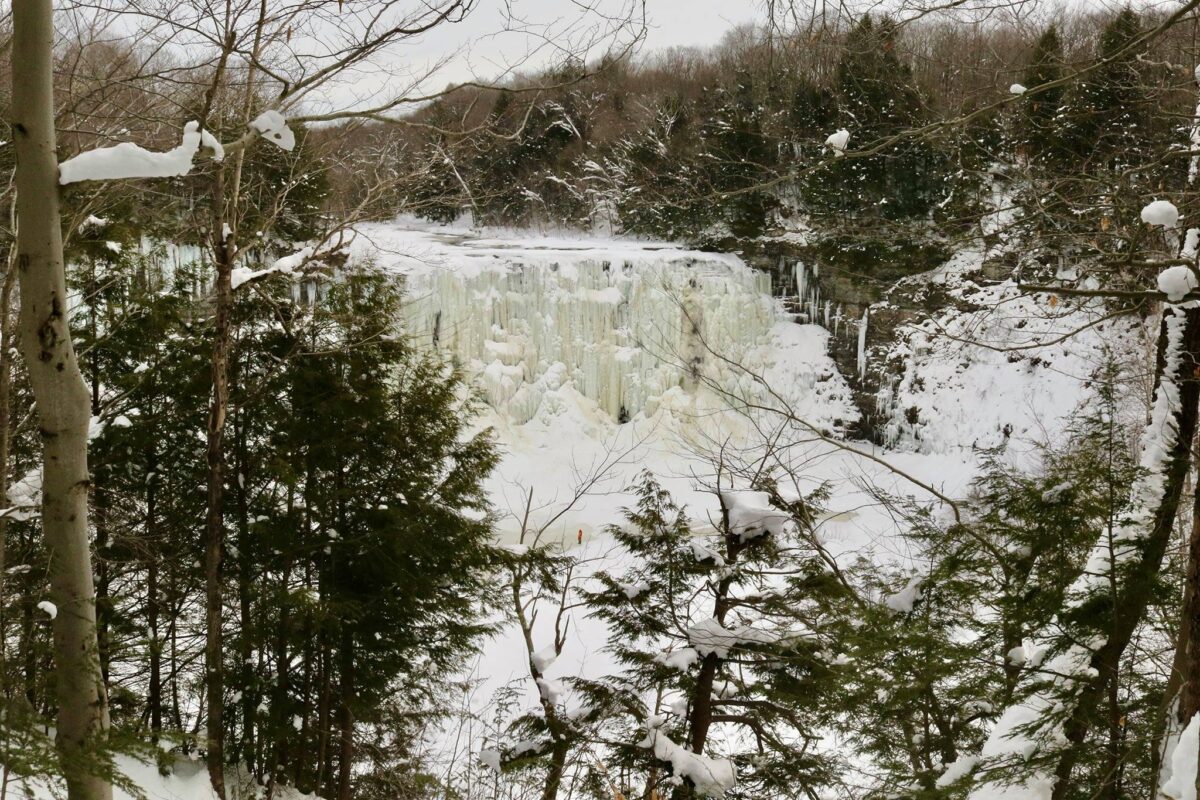
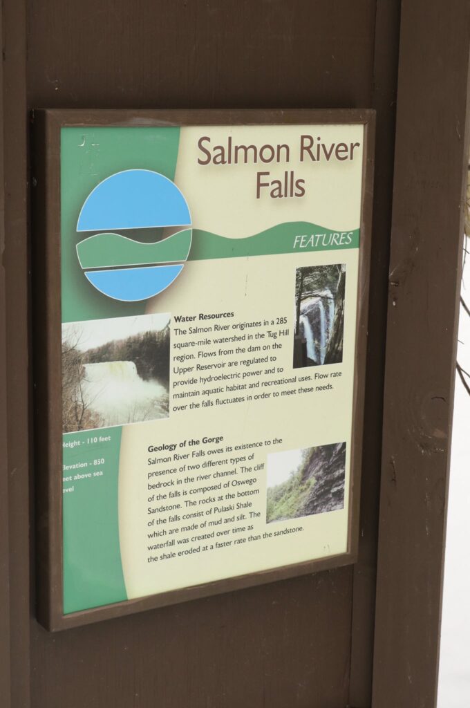
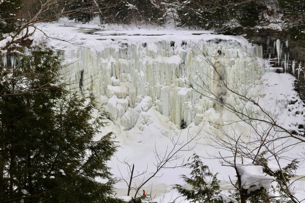
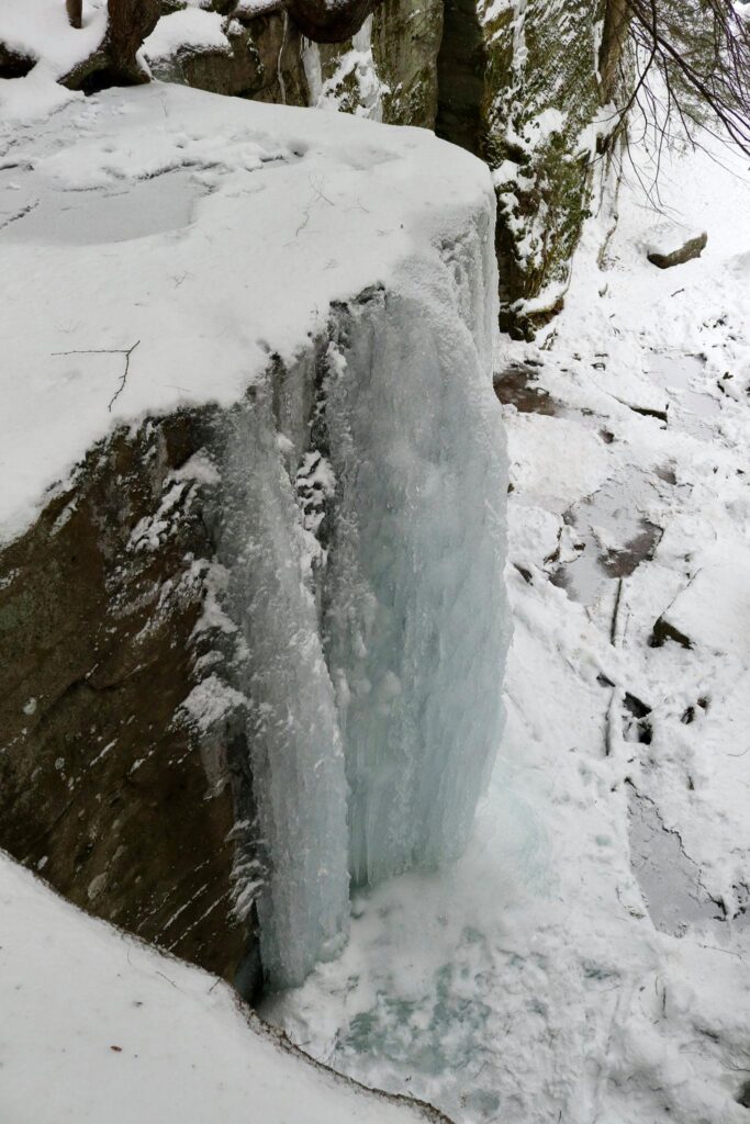
The trail to the first viewing platform was only a quarter of a mile long. There were several interpretive signs, like the one above, to read on the way to view the 110-foot waterfall.
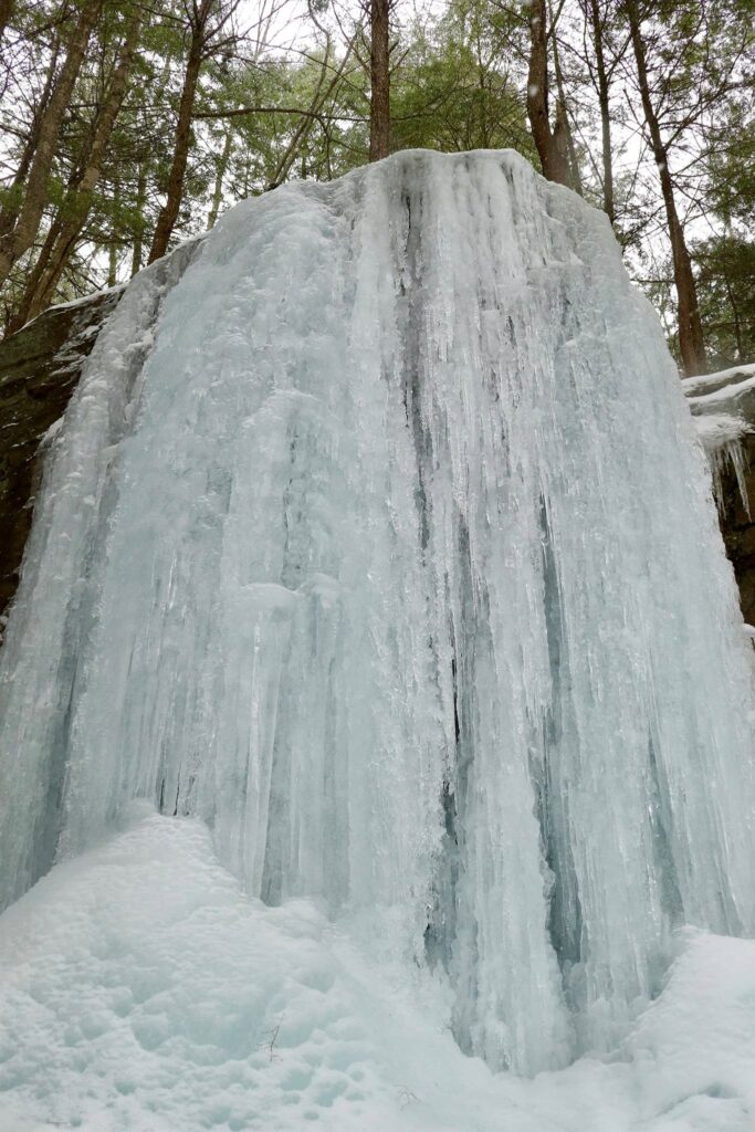
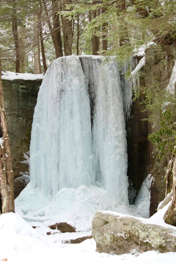
View of Salmon River Falls from the first viewing platform. This is a popular spot for ice climbing. If you look close, you can see a potential climber in orange.
Not knowing much about the area we were visiting, I did a quick internet search for the history of Salmon River Falls. As one would expect, the name is in reference to the large numbers of Atlantic salmon that would travel from the St. Lawerence River to Lake Ontario and then up the Salmon River where they would meet their terminus at the waterfall. This was a very important fishing spot for the Iroquois who lived in the region. In the 1900s, the River was dammed about a mile upstream from the falls for hydroelectric power generation. This caused the waterfall to dry up in the summer months and the area suffered both ecologically and aesthetically. In the 1990s, hearings were held to gather input from all parties and a minimum flow was established to ensure that the falls had a characteristic waterfall appearance year-round.
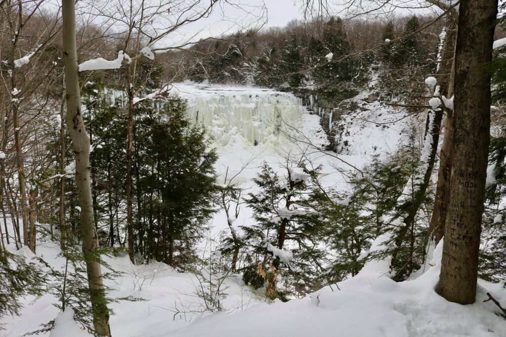
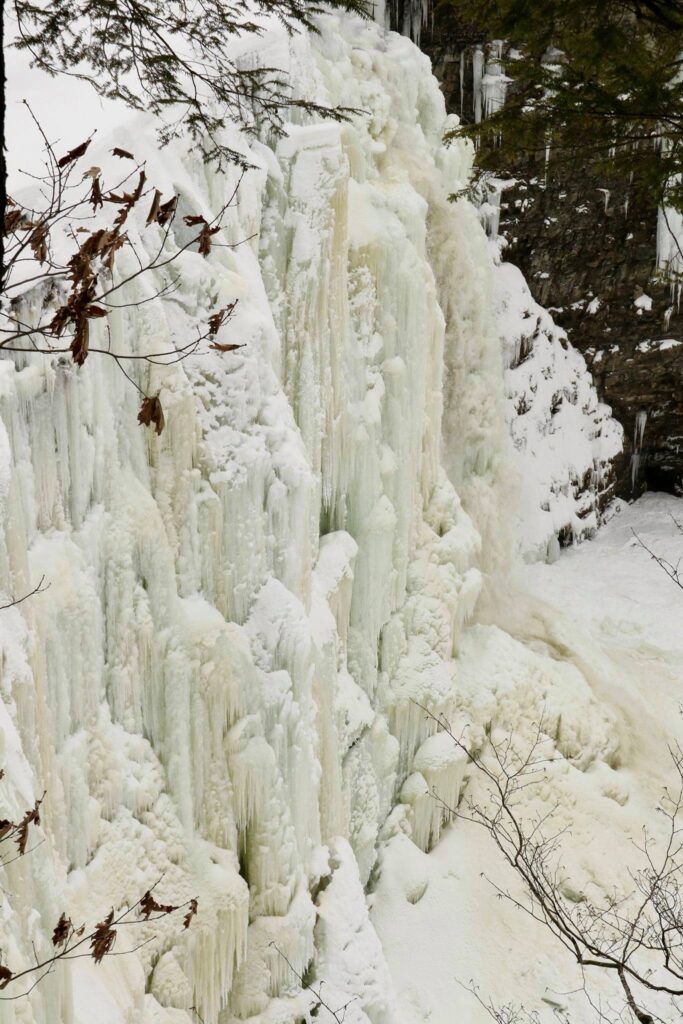
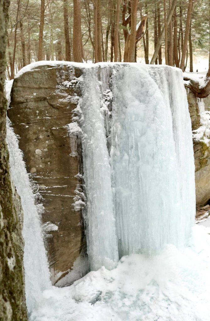
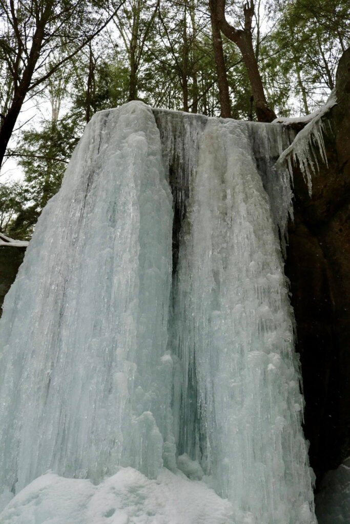
View of Salmon River Falls from the second viewing platform.
Like so much in life, the lesson behind this natural area is balance. Today, the area is managed by the Department of Environmental Conservation. The Salmon River is an active fishery, the waterfall is a scenic wonder as well as a site for many recreational activities, and the the damming of the river still provides power for the local community. Balance is sometimes elusive but always necessary.
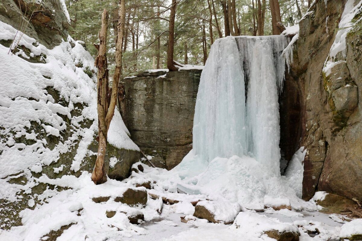
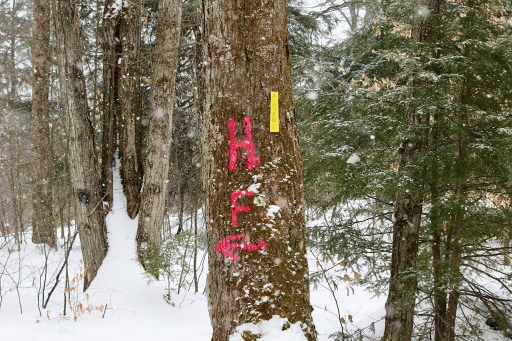
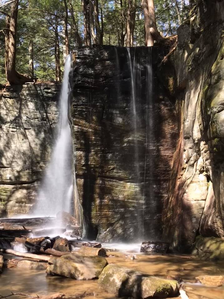
This small waterfall in the Allegheny National Forest is a fun hike in any season, but we found it to be especially magical in winter! It can be found just outside of Sheffield, PA. Take Rt 6 to Ludlow and drive about 3 miles along decently maintained roads, used mostly for gas interests, to arrive at the small parking area for Hector Falls. It can be accessed year-round; my daughter and I visited in February, on a snowy day, in our Toyota Prius. The GPS coordinates were accurate, but as reinforcement, a large HF was spray-painted on a roadside tree in the parking area.
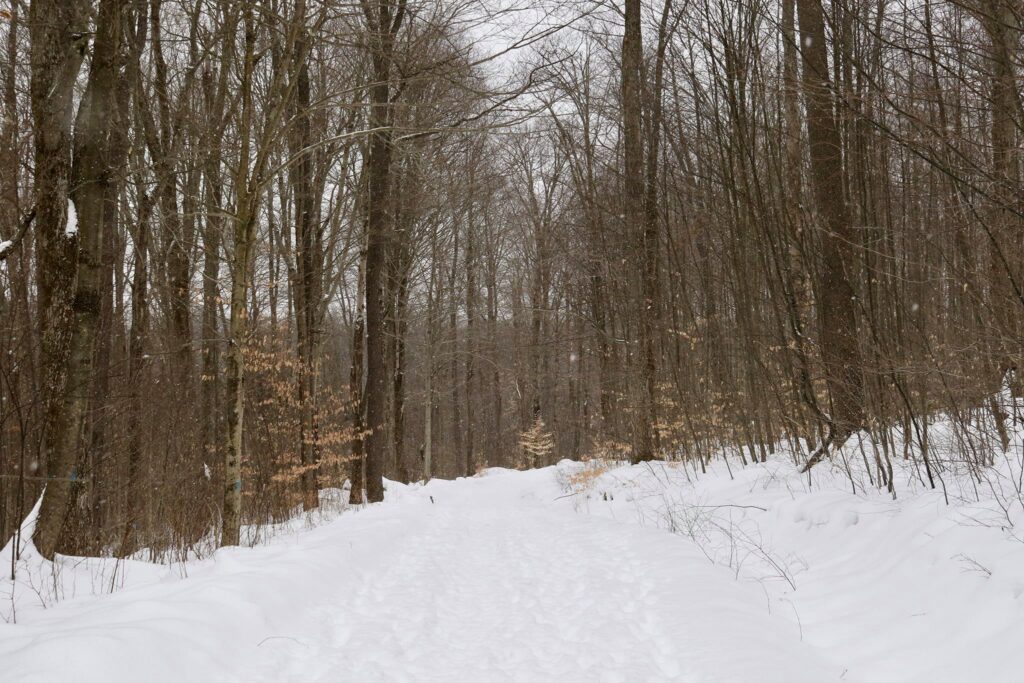
From the parking area, the trail is wide and clear. It travels through a forested area of mostly Beech and Hemlock trees. The walk is about 1 mile from the parking area to the falls.
The trail descends in elevation until it meets a small stream. This stream eventually meets with a branch of the Tionesta Creek. Once you get to this small stream, turn right. The trail follows the stream for just a short bit before arriving at the top of Hector Falls.
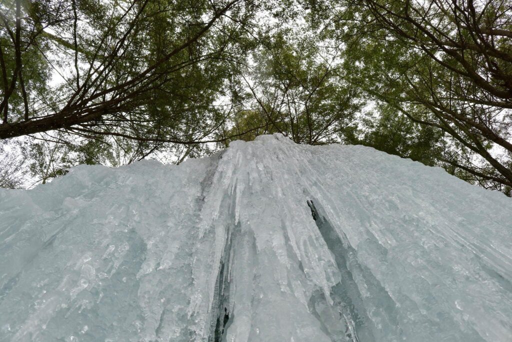
It is neat to peer over the top of the falls, but the better views are from below. Continue your descent around some large boulders and the water fall appears through cracks in the rocks.
Hector Falls from above.
It is easy, in our cold and grey winters, to hide indoors. It is almost too easy to not venture out, to blame a sedentary nature on foul weather or difficult travel. I invite you to change your perspective. By looking at this waterfall through a different lens, so to speak, I was able to capture a beautiful moment in nature and share it with my daughter. I hope to have many more of these moments and I will not take them for granted.
Frozen Hector Falls
This was a hike that we had taken before, in spring. I thought it was a neat waterfall then, but the pictures I have from that earlier trip just do not inspire quite the same awe as it did in February. So again, get out there and change your lens, or you could be missing out on something truly beautiful!
Joshua Tree National Park is a great day trip from Los Angeles. The park includes many diverse desert ecosystems to check out by driving or hiking.
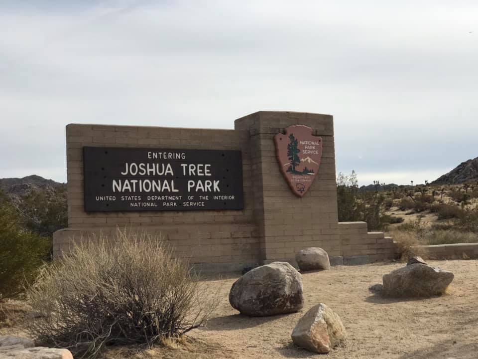
Joshua Tree National Park is a doable day trip from Los Angeles. The drive is about two and a half hours, depending on traffic. I visited this park in January with my brother. We rolled in around noon, which meant we had just 5 hours before sunset. Here is what we did to make the most of it!
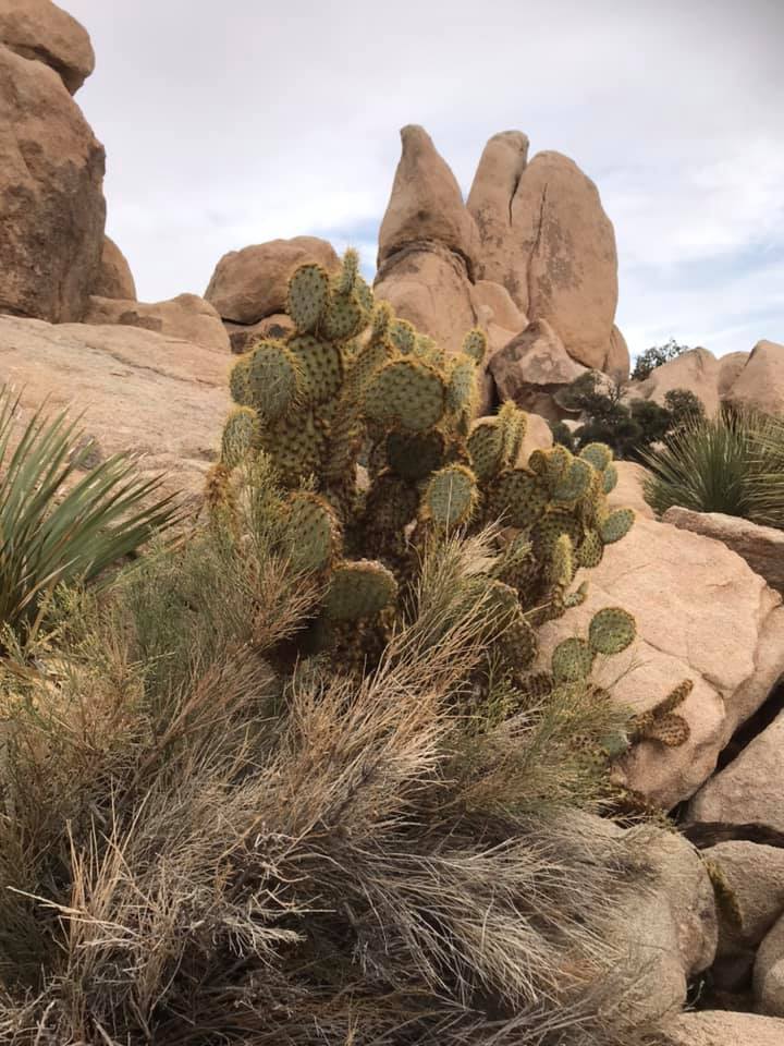
We started our day at the western entrance to the park. Joshua tree has three entrances and we began with the entrance closest to LA, but an argument could be made for driving a little out of the way and starting at the south entrance. There are three distinct ecosystems in Joshua Tree, the Mojave Desert, the Colorado Desert, and the Pinyon Pine and Juniper of the Little San Bernardino Mountains. These ecosystems vary due to their differences in elevation. We travelled from west to east, only going as far south as the Cholla cactus gardens. This allowed us to see a bit of all three regions, but another interesting way to explore the park would be to start in the south and work your way west through all three ecosystems. This would offer one the opportunity to see more of the Colorado Desert along with the Cottonwood visitor center and the Lost Oasis.
Exploring the Mojave Desert
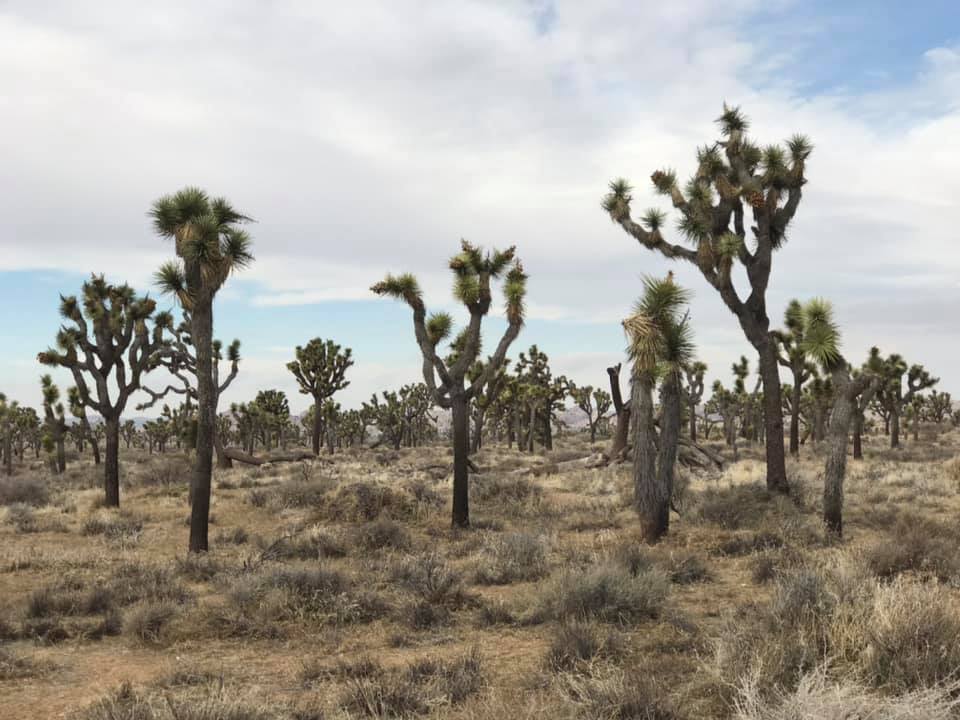
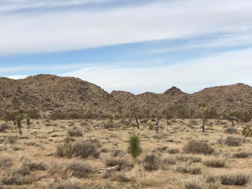
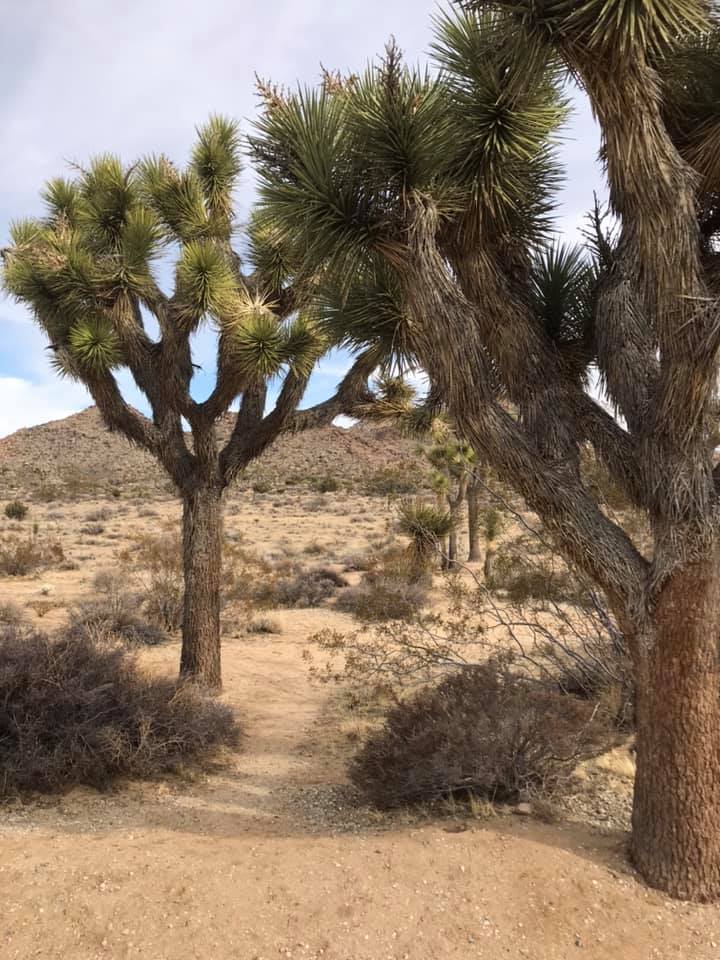
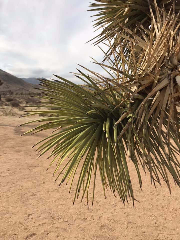
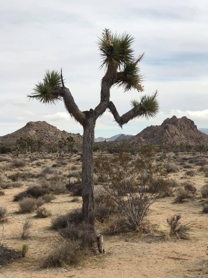
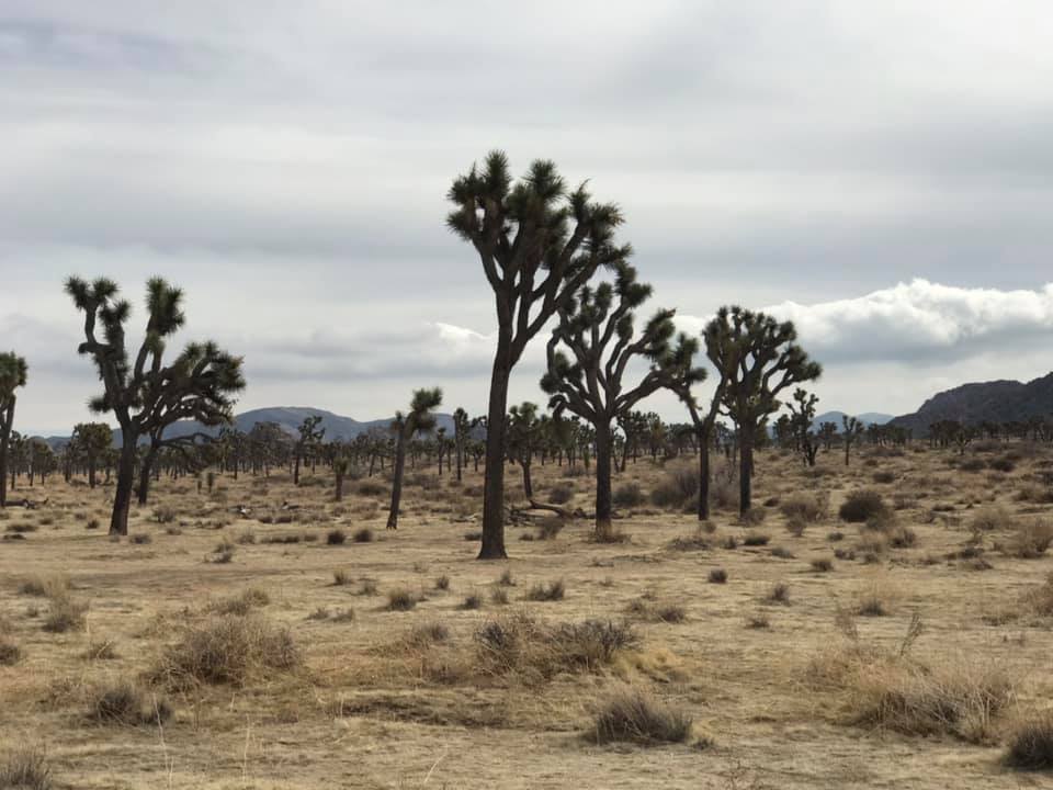
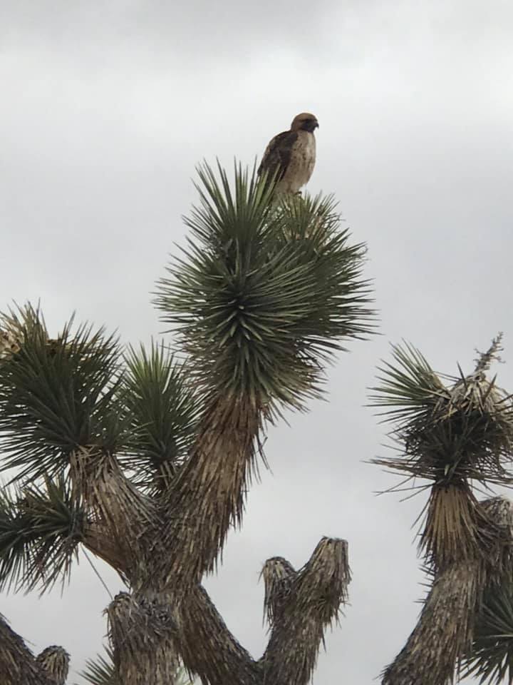
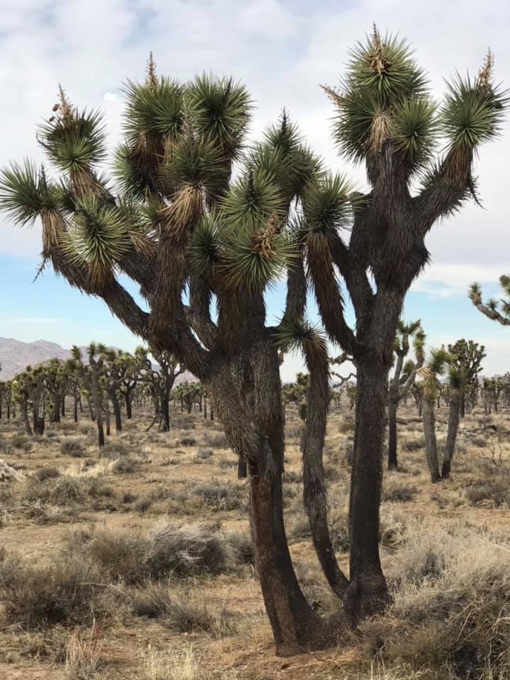
The first area we arrived at was comprised of the plants of the Mojave desert ecosystem, including the namesake Joshua Trees! These trees are only found in the northern areas of the park, but as you can see, they are plentiful.
Joshua Trees, found in the Mojave desert regions of Joshua Tree National ParkJoshua Trees in the Mojave Desert
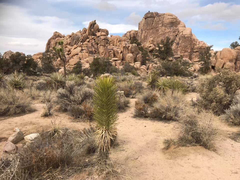
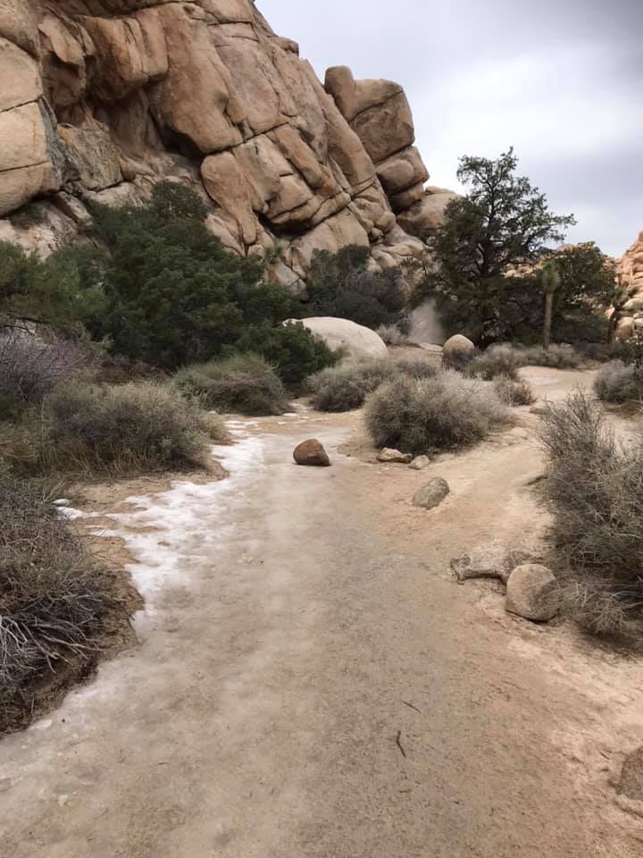
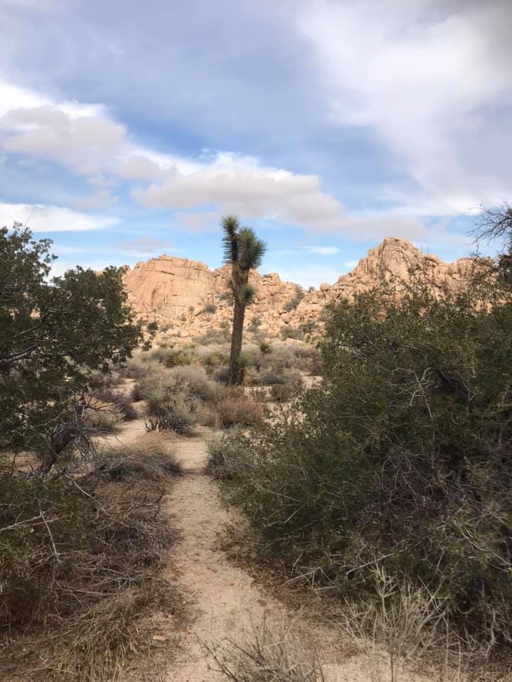
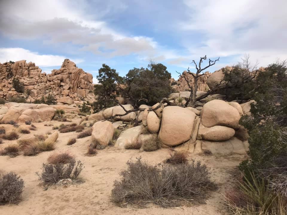
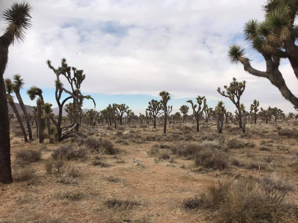
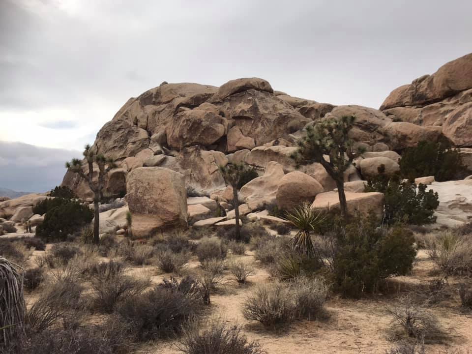
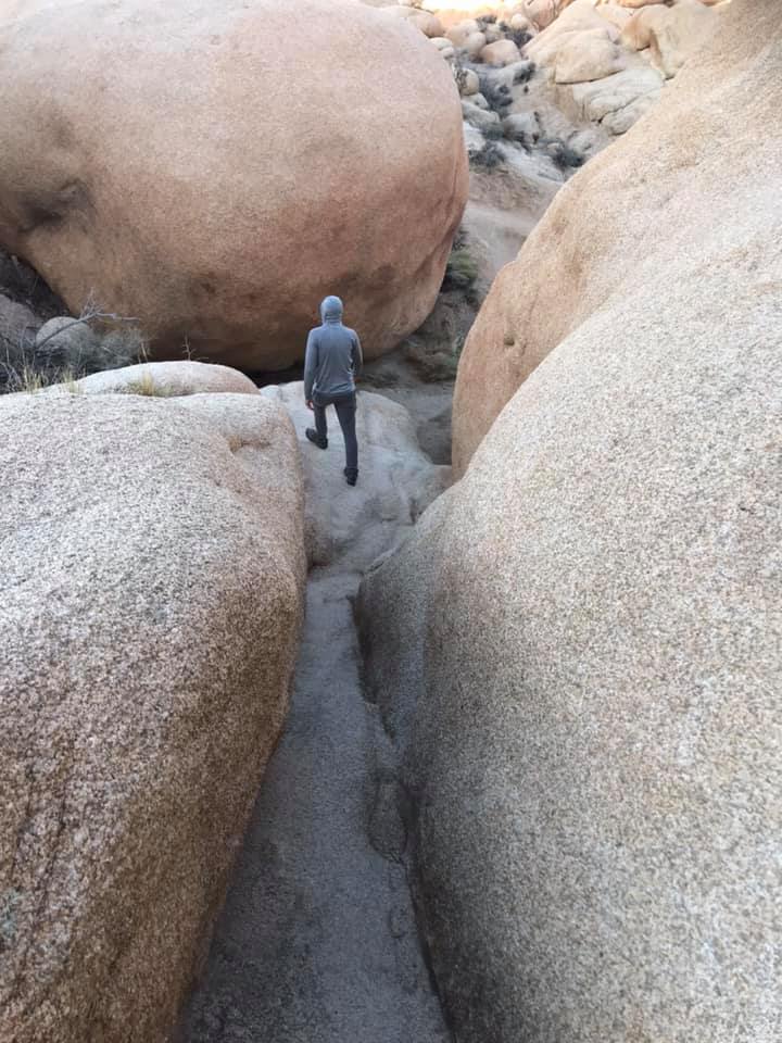
Hiking the Hidden Valley trail
Our next stop was the Hidden Valley picnic area. Here we hiked the 1-mile loop trail around large rock formations. This is a popular area for rock climbers. There was snow on the ground here and there, but I was comfortable in shorts with a jacket.
The View from Keys View
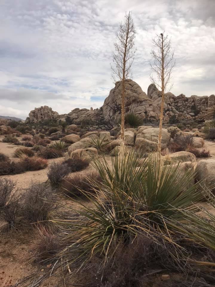
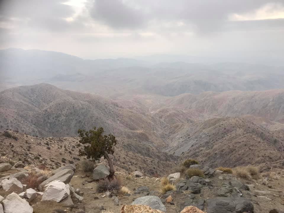
For our next stop, we left the main Park Boulevard and headed southwest. We also moved up in elevation. It is the change in elevation that contributes to the variety of ecosystems here. At these higher elevations, the dominant vegetation changes to the Pinyon Pines and Junipers of the Little San Bernardino Mountains.
The view of the Little San Bernardino Mountains from Keys Point.
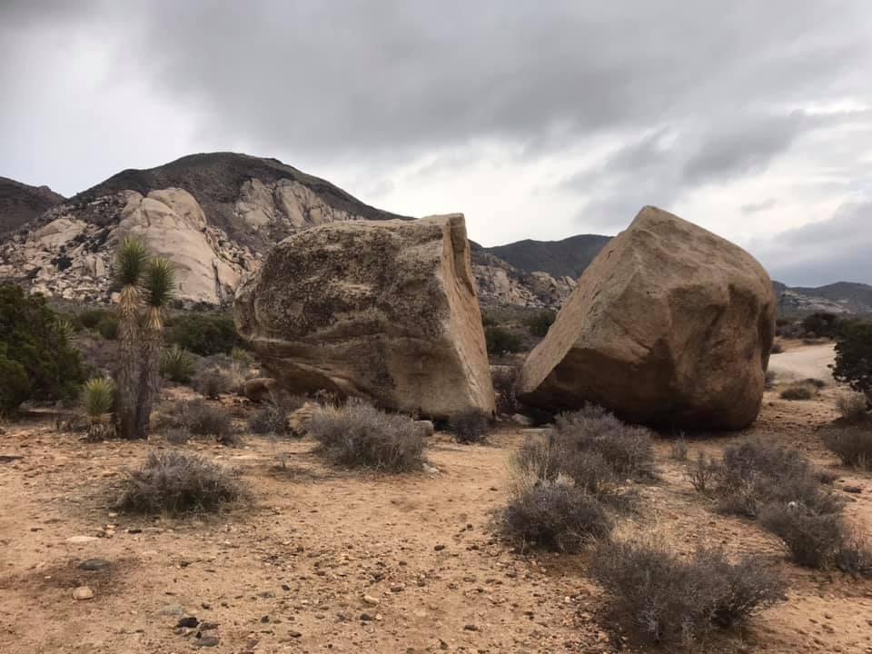
There were still a lot of Joshua trees en route to Keys View.
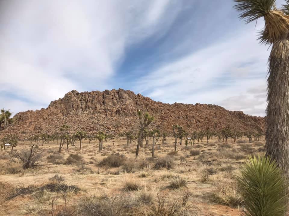
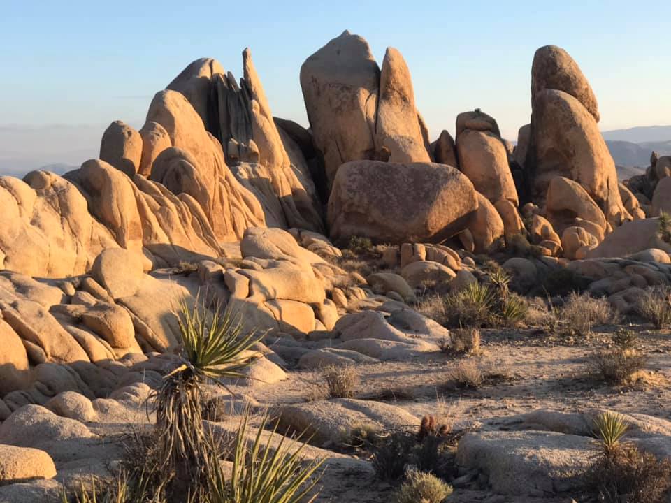
Wandering around the Hall of Horrors
After we returned to the main Park Boulevard from Keys View, we passed Cap Rock. This is a very popular spot in the park, partly because of the mythic association it has with the death of Gram Parsons. We didn’t stop here in favor of a less popular pull off called the Hall of Horrors. It was not, as the name implied, horrible but it did have some interesting rock formations.
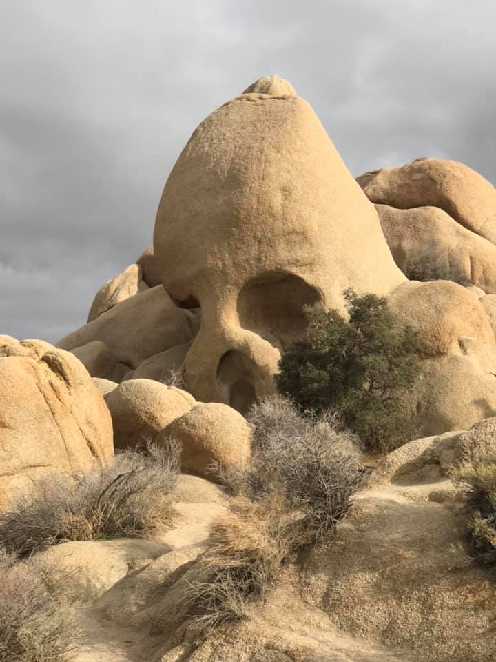
Skull Rock
We made a quick stop to stare into the eye sockets of skull rock and ponder what was in its head.
Skull rock
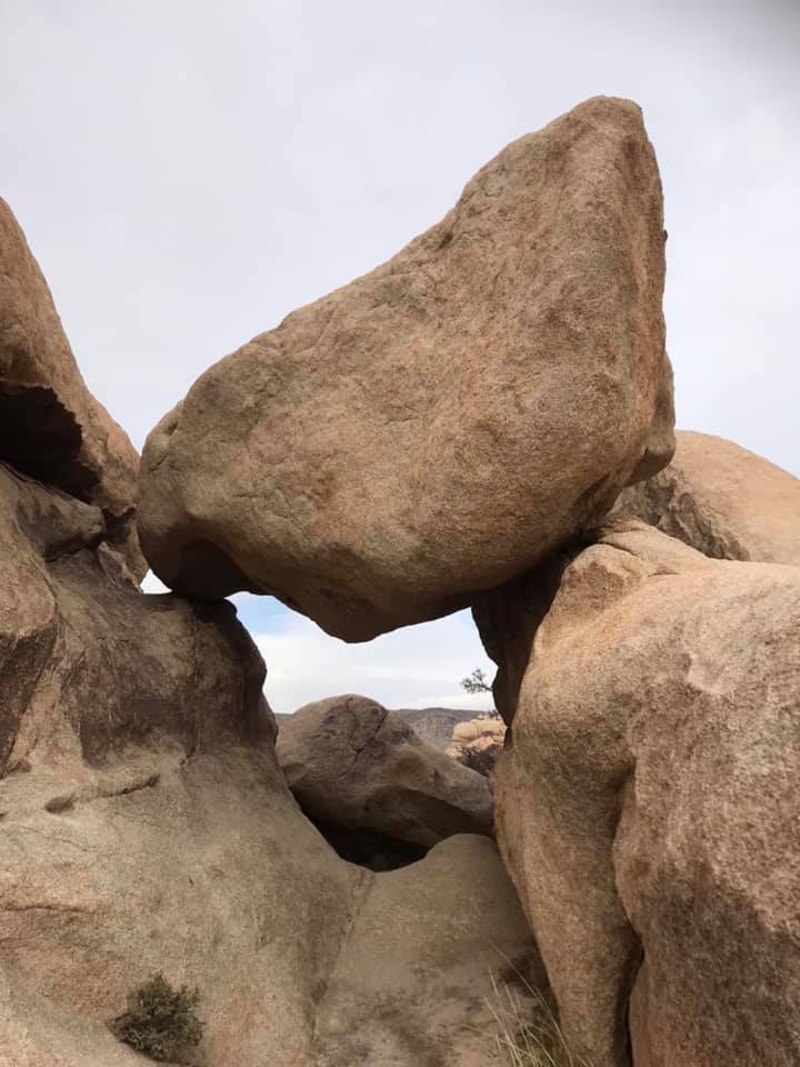
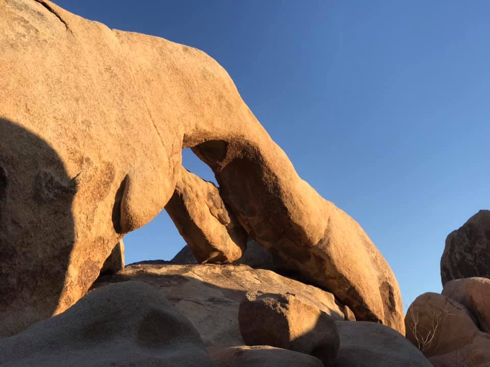
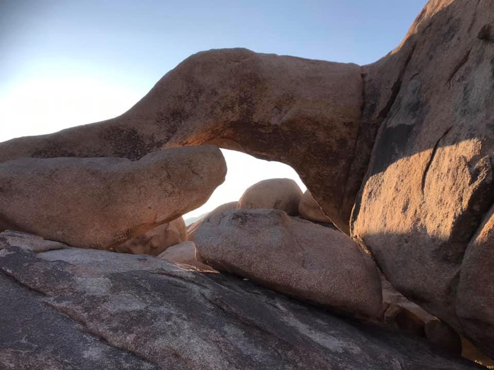
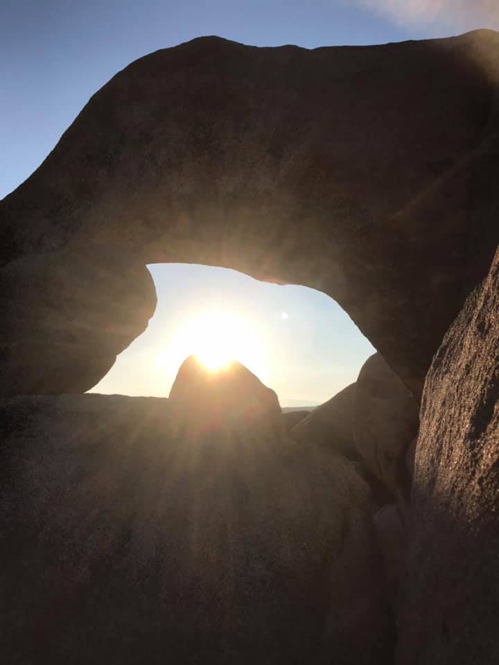
Searching for Arch Rock
The sun started sinking lower in the sky and there were still things I wanted to see! One of them was Arch Rock. Normally accessible from the White Tank campground, this parking area was closed when we visited. We parked up the road and after wandering the landscape a bit, found a trail that took us across the road and to Arch Rock. It was a very cool place to check out as the sun was setting.
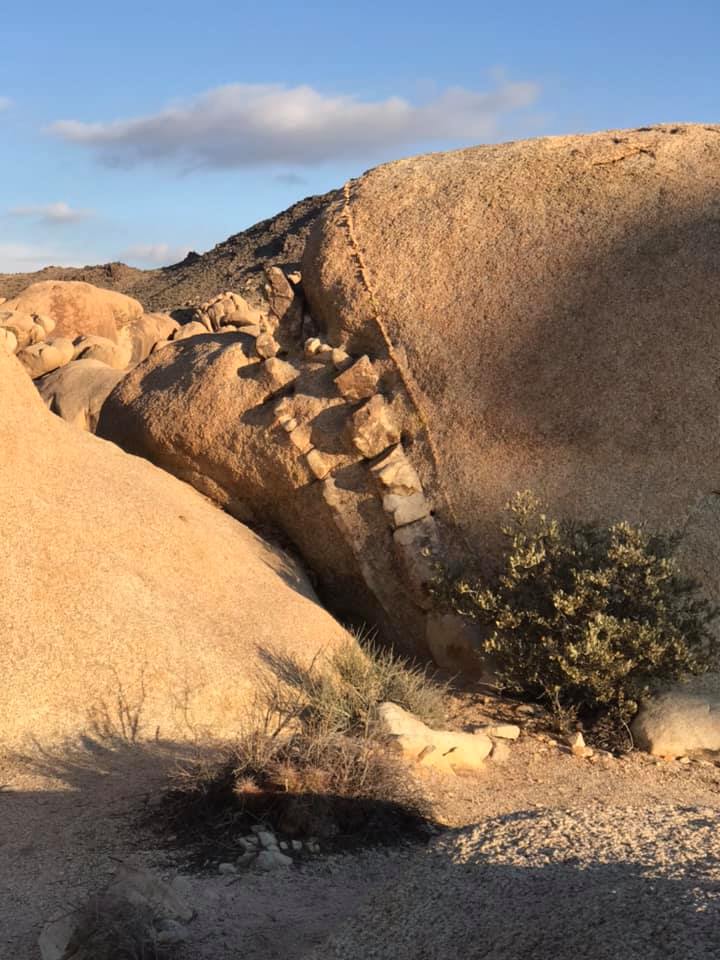
This unusual rock formation is called a dike. It is a rock with an intrusion of more erosion resistant rock within it.Arch Rock
Rocks sculpted by weathering
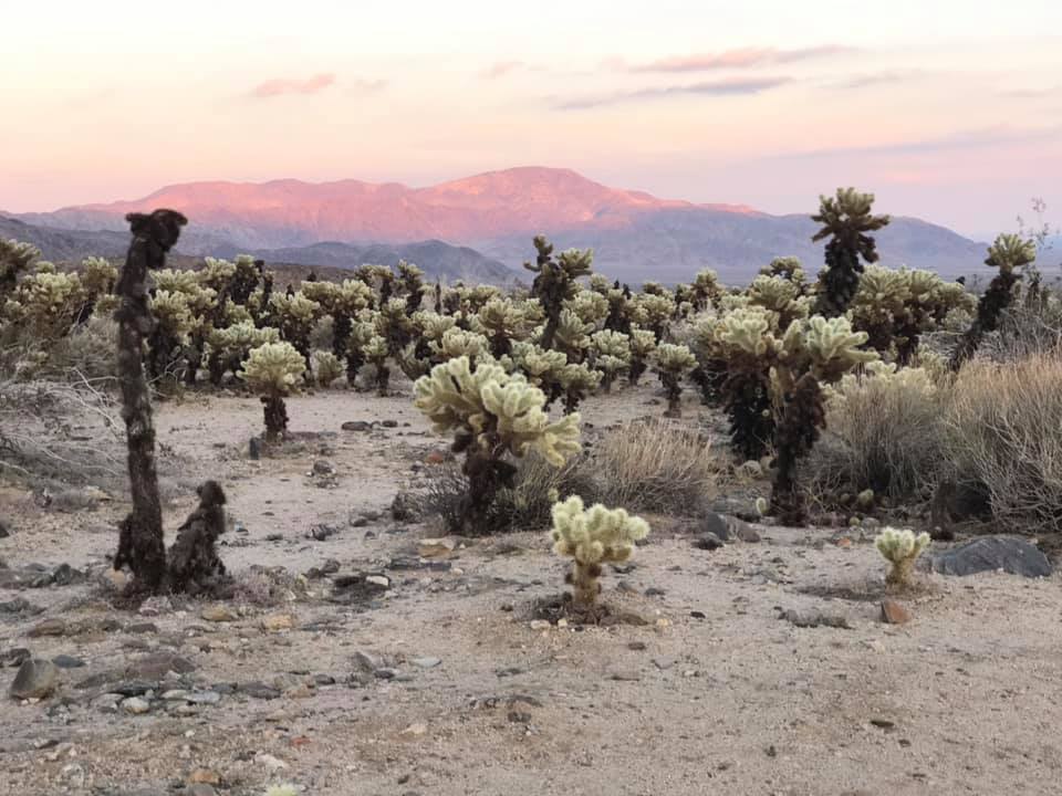
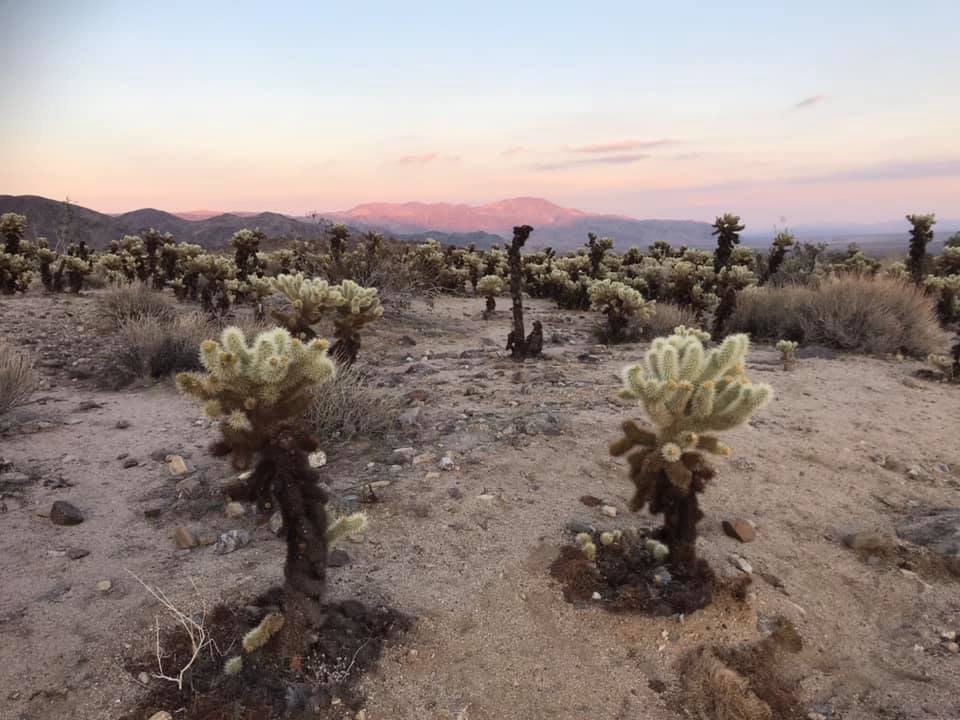
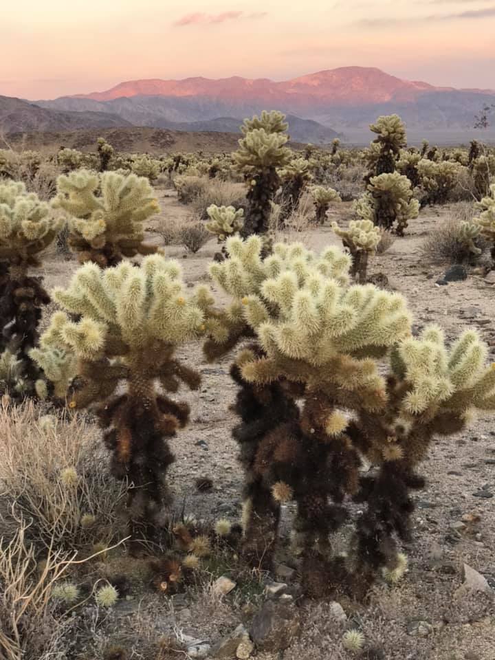
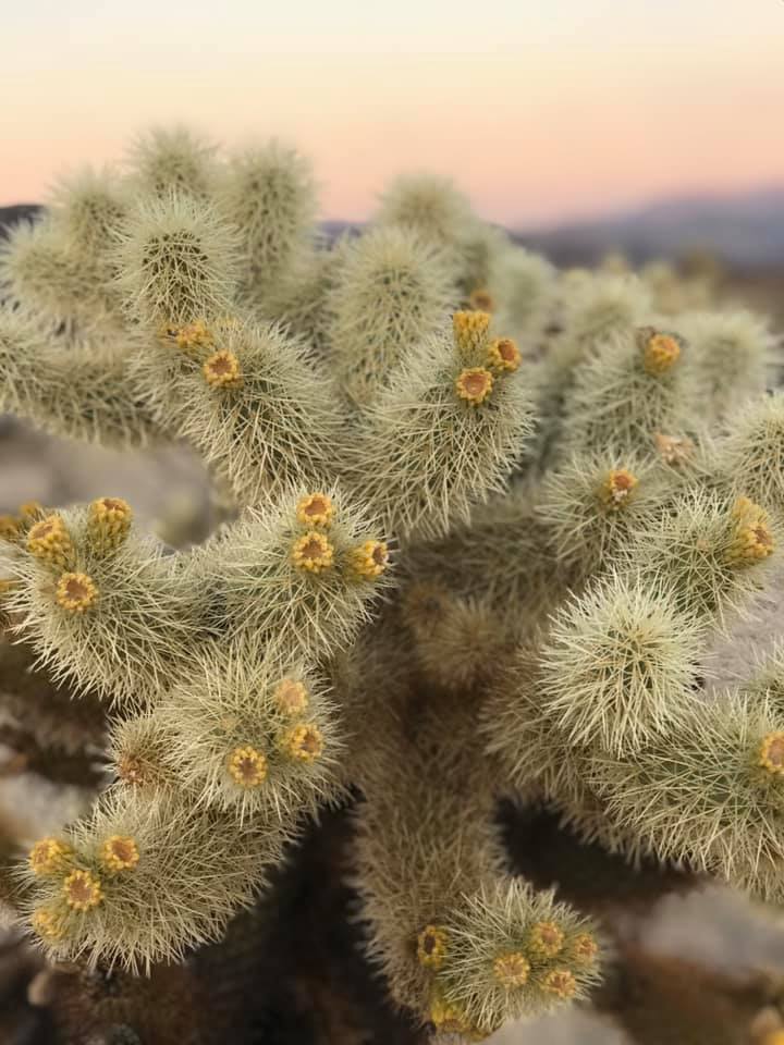
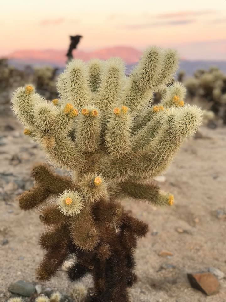
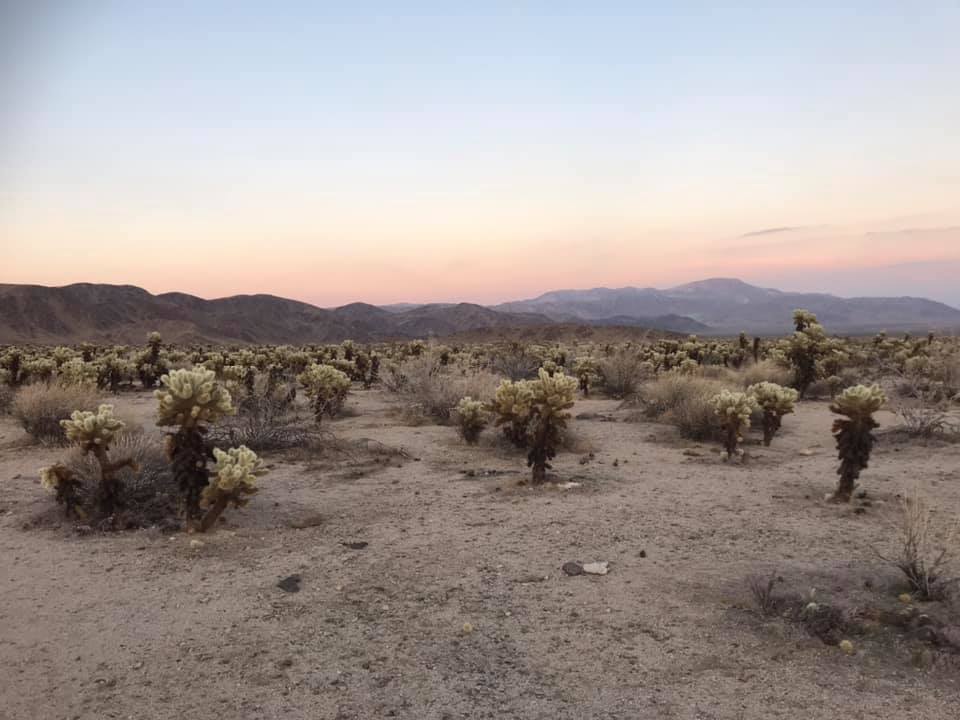
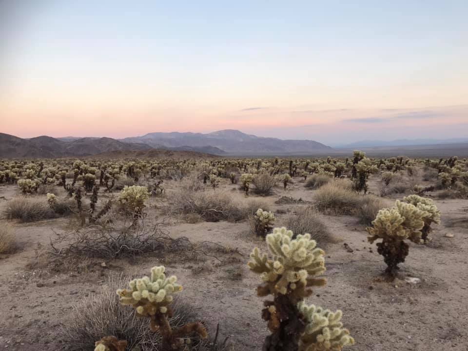
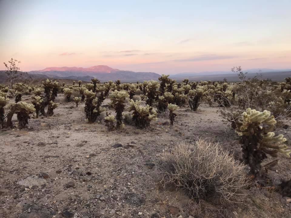
Cholla Cactus Garden
One last stop! We made it to the Cholla Cactus Garden before the sunset and this stop did not disappoint. The cacti were flowering, the sky was lit up in peach and pinks, and we had the time to wander and enjoy this unique area in the third and final ecosystem of the park, the Colorado Desert.
We checked off all 3 ecosystems on our day in the park. As E. O. Wilson said, “Biodiversity is the totality of all inherited variation in the life forms of Earth, of which we are one species. We study and save it to our great benefit. We ignore and degrade it to our great peril.” We are not apart from but a part of this environment. It was a beautiful ending to a day spent reflecting on that.