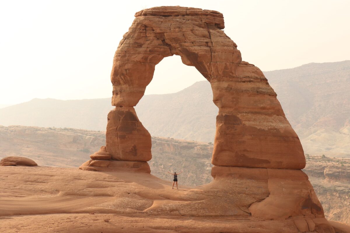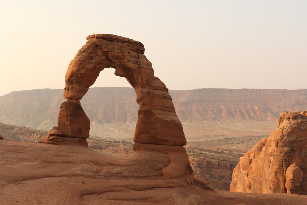
A journey to and through Rocky Mountain National Park
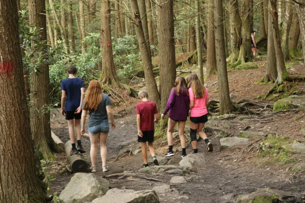
Traveling with children, the highlight is often the wildlife we encounter. We saw a bobcat in Virginia’s Shenandoah National Park and a grizzly bear in Glacier. Black bears were encountered in the Great Smokey Mountains, Yosemite, and Yellowstone. Bison were spotted in Theodore Roosevelt National park, Badlands, and Wind Cave. All of these were great sightings! What my family really wanted to see, however, were moose.
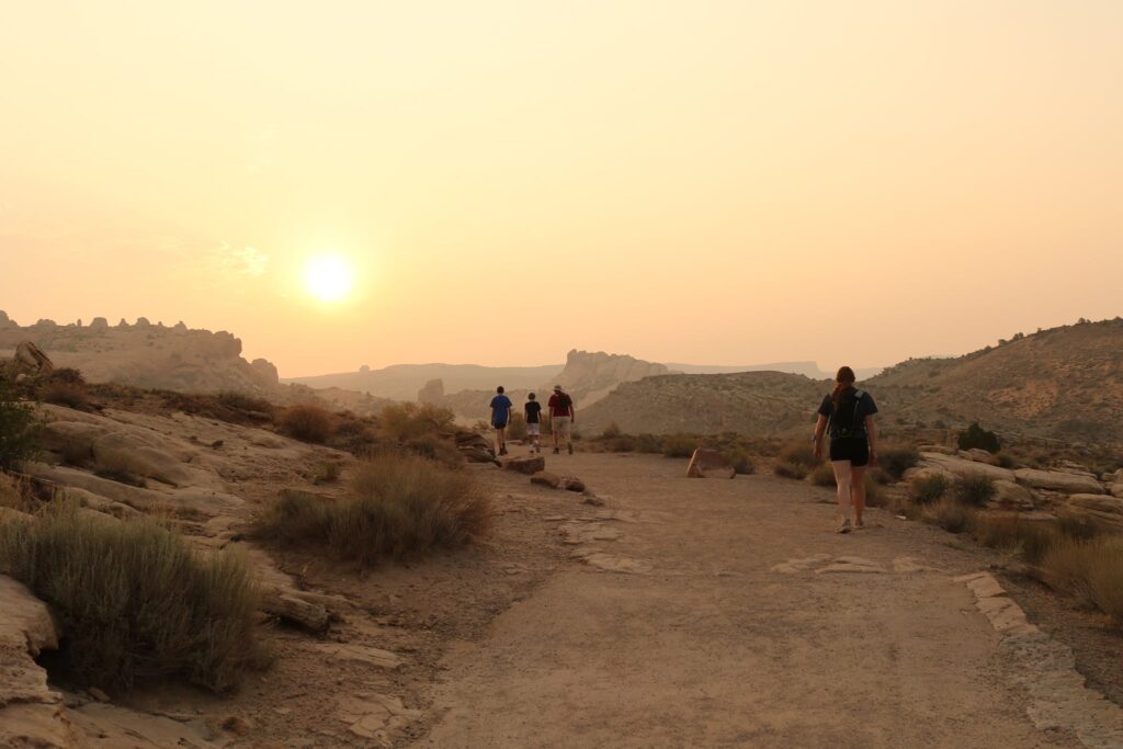
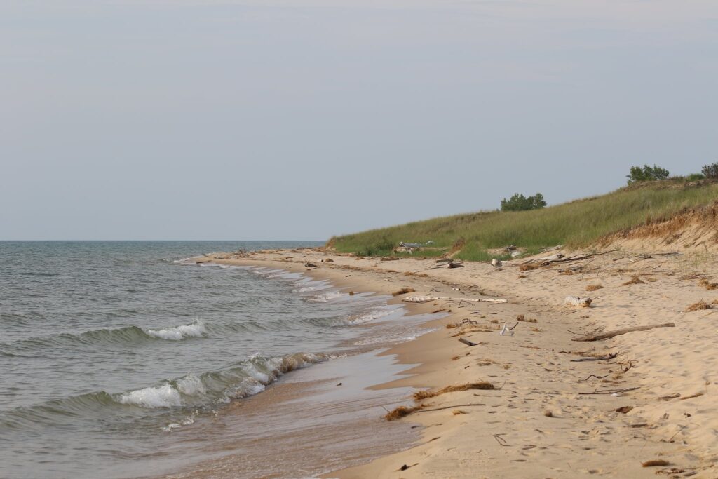
We had tried in the past. On a trip to Acadia National Park in Maine, we drove north of the Bar Harbor tourist area and booked a lodge on Moosehead Lake. Not just a deceiving name, moose were spotted regularly here. We didn’t want to leave it to luck, so we booked a tour with a local operator and went on a moose safari! Three hours on the backroads and waterways of Maine….. no moose. On another trip, we stayed in Grand Teton National Park at the Signal Mountain Lodge for 5 nights. Each morning the board at the various ranger stations would list the moose sightings the day before. On the trail past Inspiration Point through Cascade Canyon, we passed hikers going in the opposite direction who had just seen a large bull moose! We continued on….. no moose. We hoped to break this streak of mooselessness with a trip to Rocky Mountain National Park.
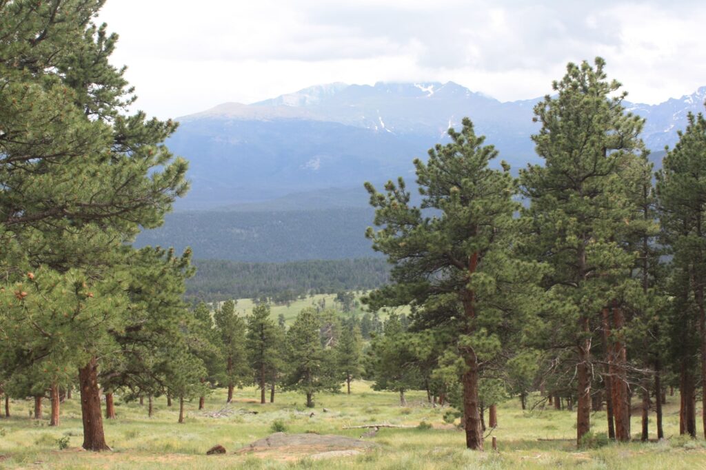
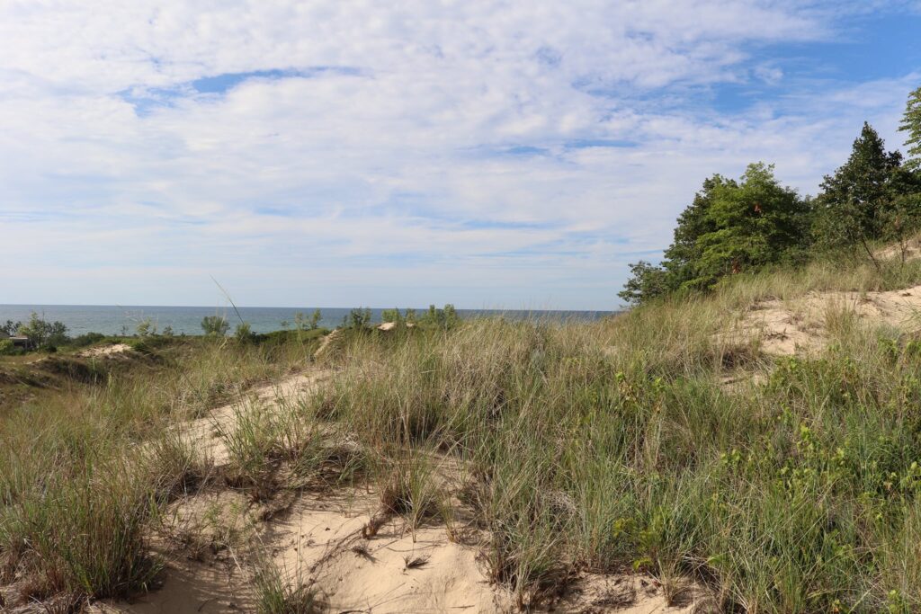
We have visited Rocky Mountain National Park twice. RMNP can be reached by 4 different entrances. In 2016, we took a day trip here from Denver, so we focused on the east side. We knew we wouldn’t be able to see it all in a day, so we saved the Bear Lake, Wild Basin, and west sides of the park and returned in 2021 for another trip. The western side is also known for its moose habitat. Here is what we found to do!
The East Side
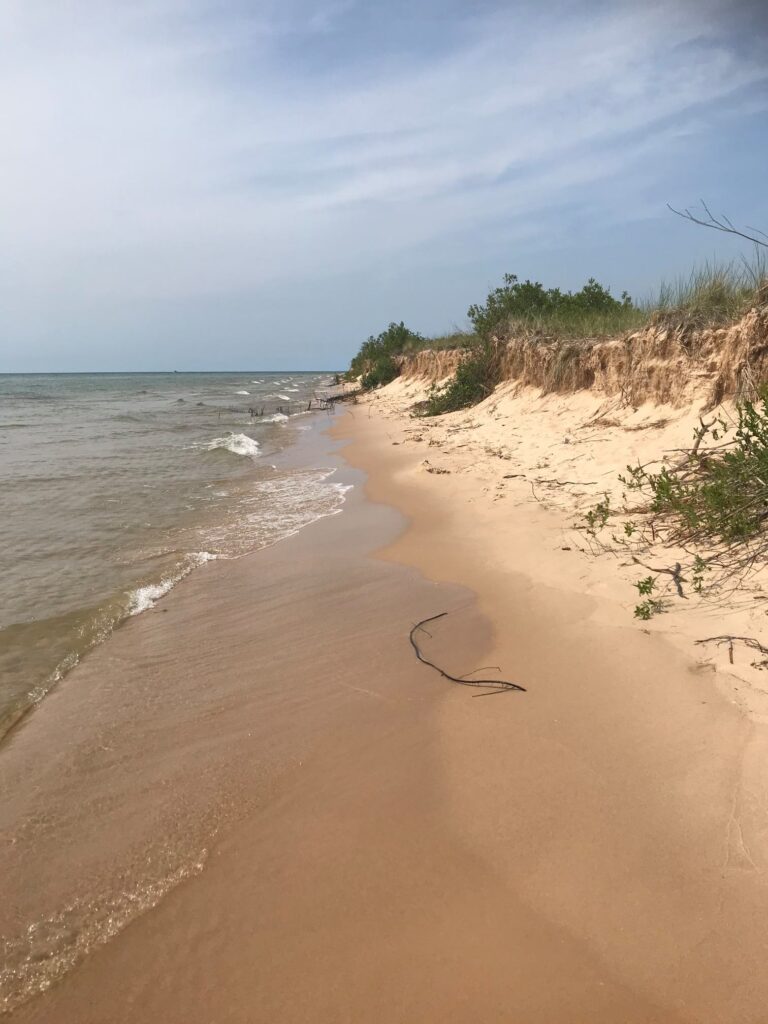
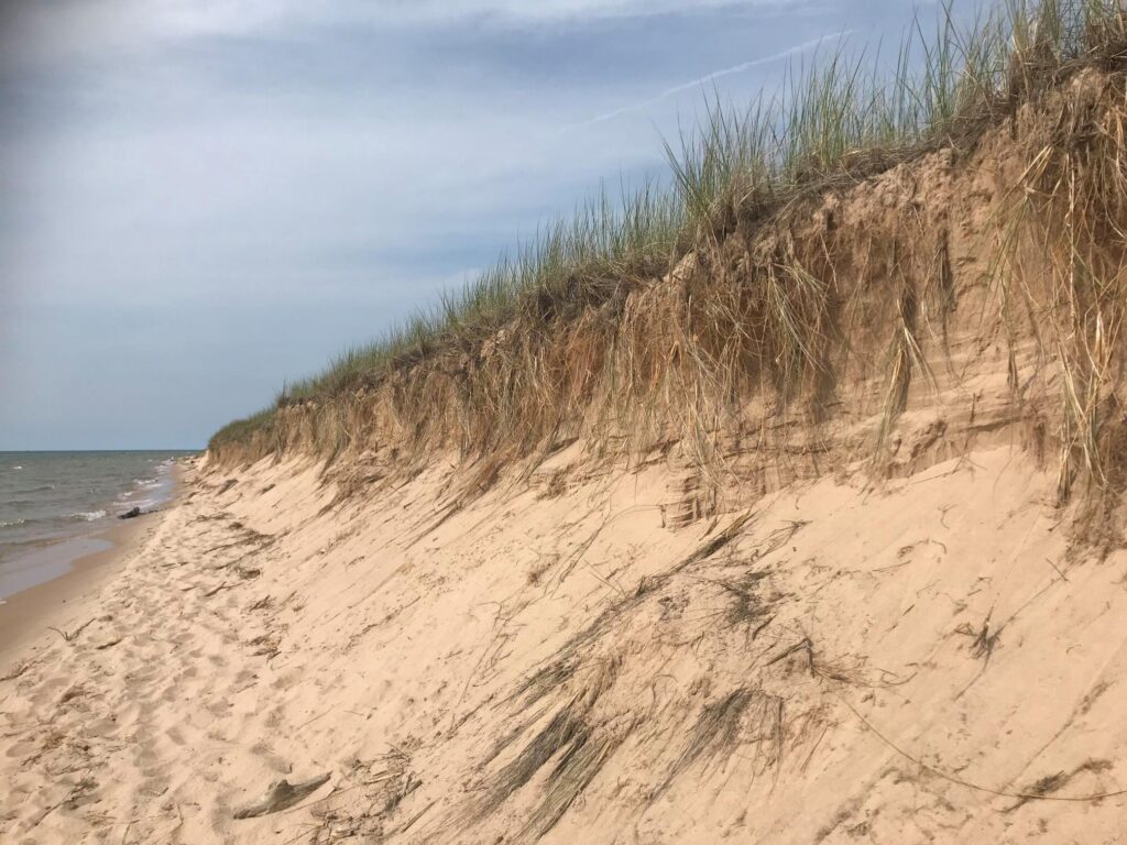
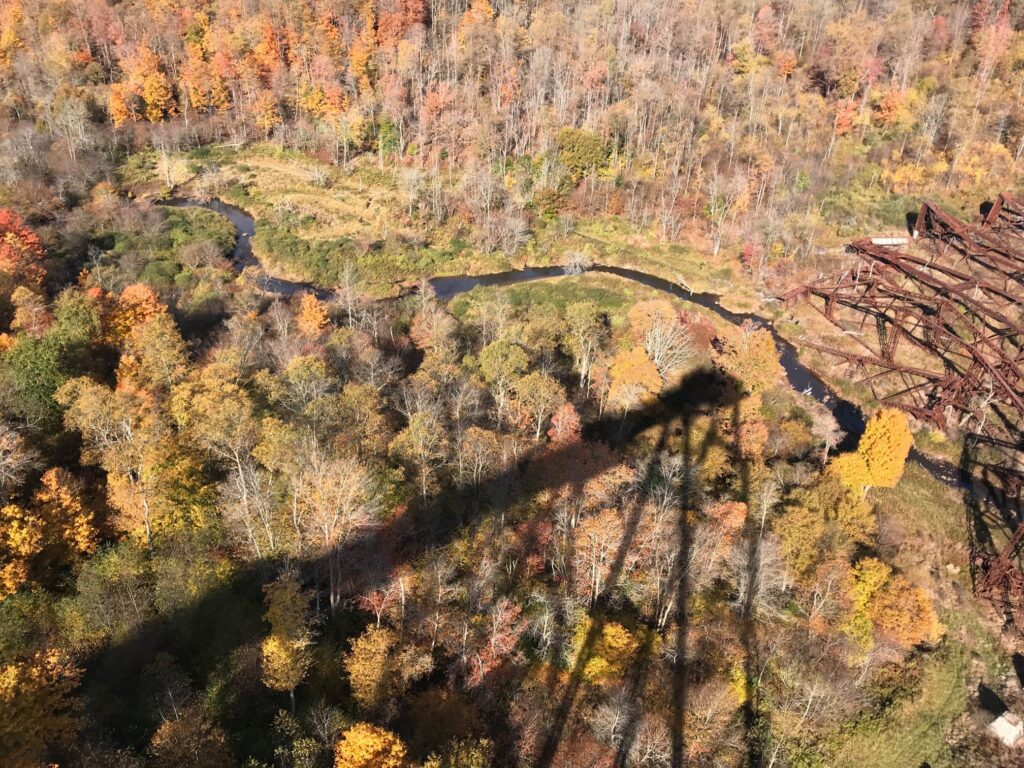
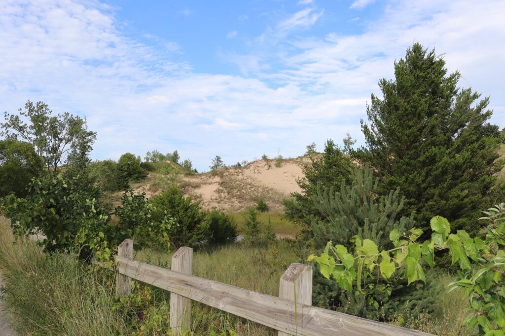
We entered the park through the Fall River Entrance. We knew we wanted to drive up the winding Old Fall River Road which had just opened for the season the week before. Sometimes this road is still snow-covered into July. Our first stop, though, was the Alluvial Fan Trailhead.
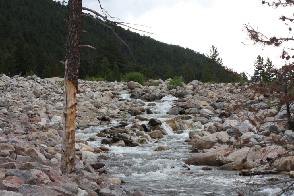
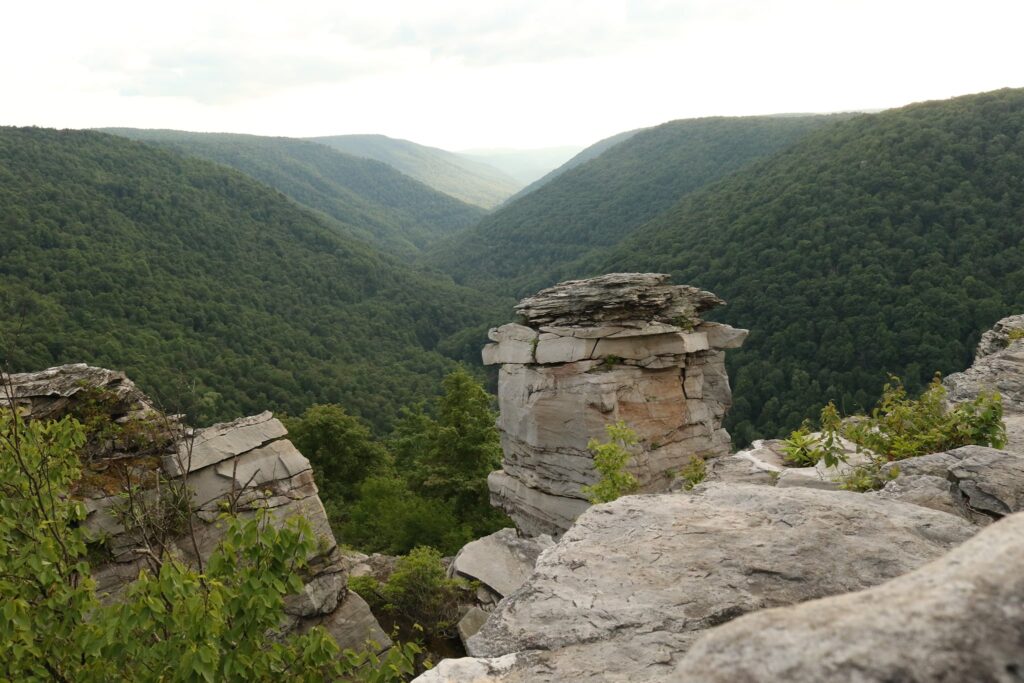
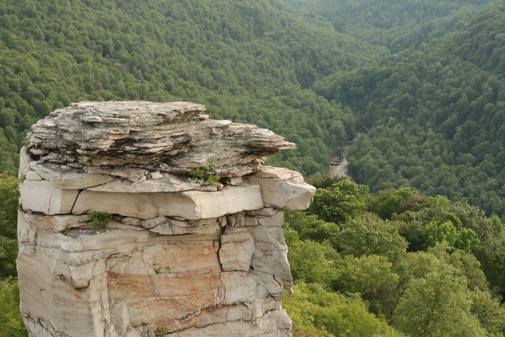
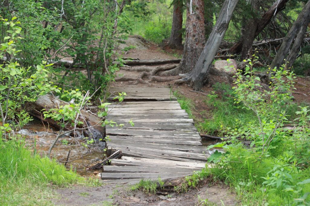
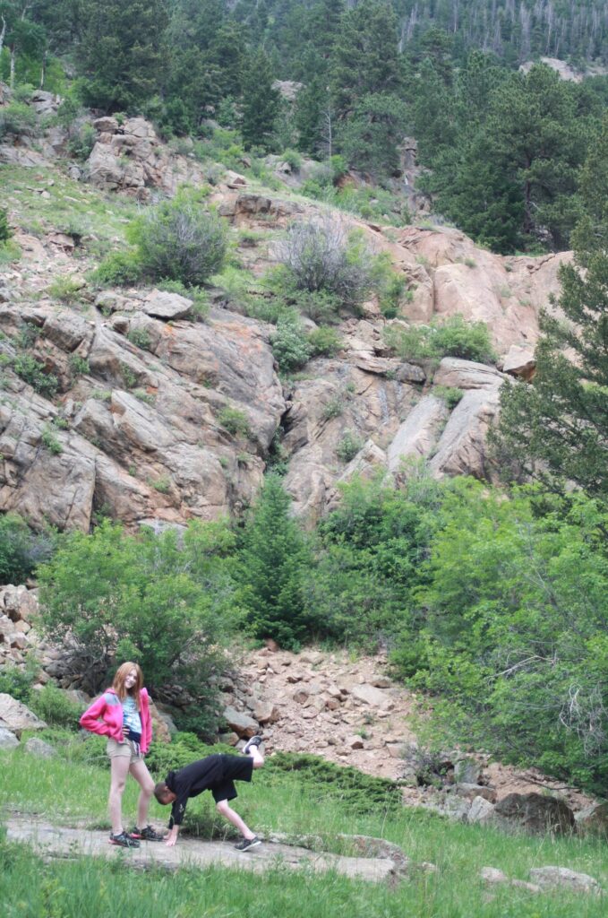
The Alluvial Fan
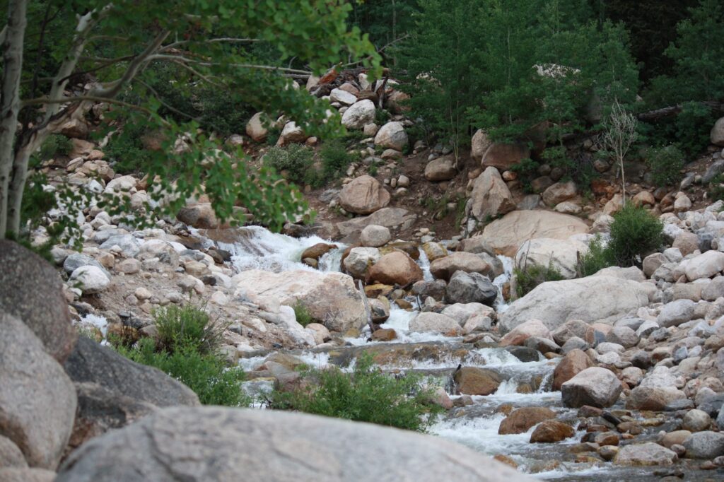
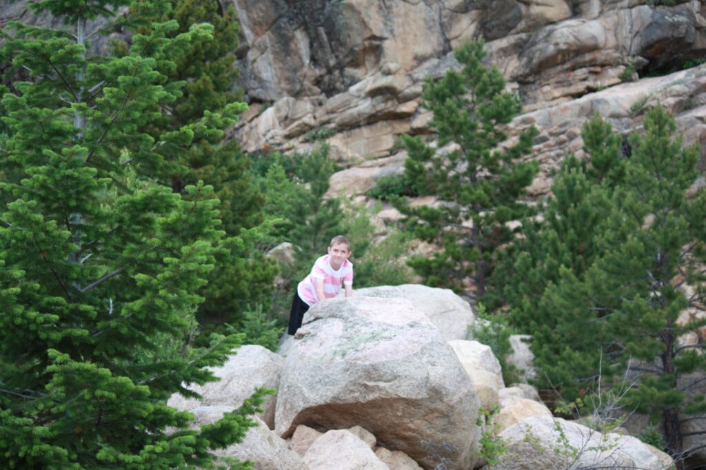
If you have kids who like to scramble around rocks, this is the spot for you.
Endovalley picnic area
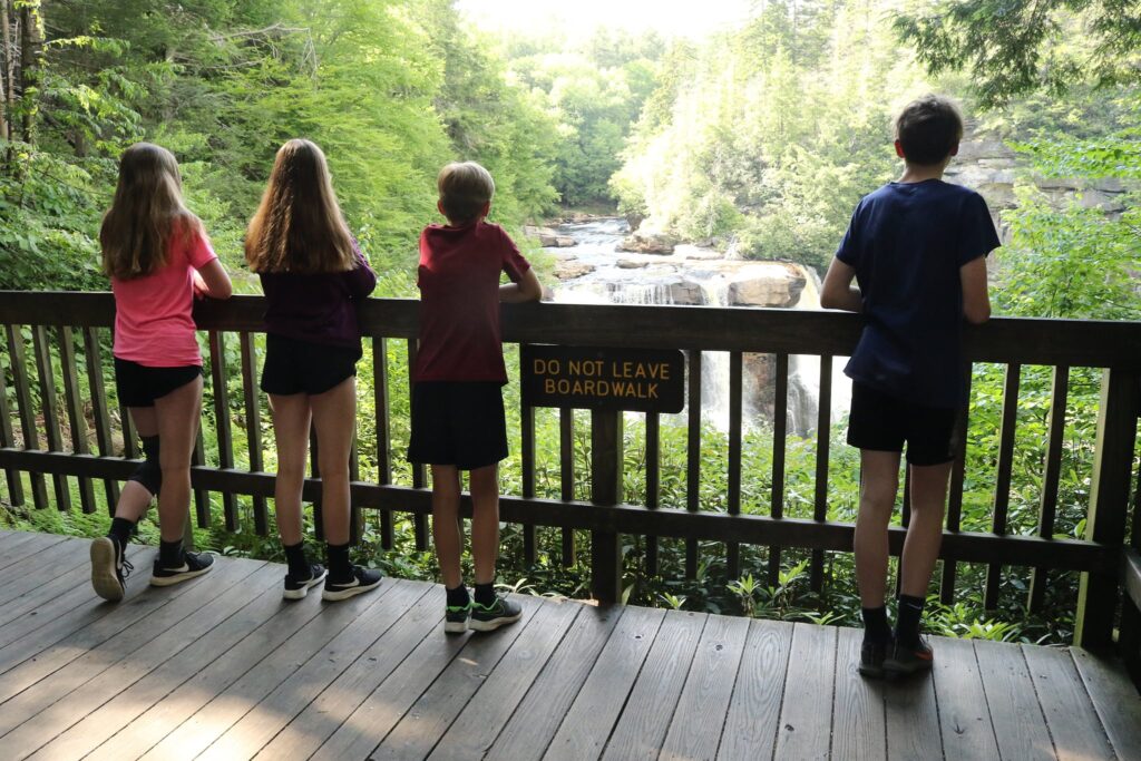
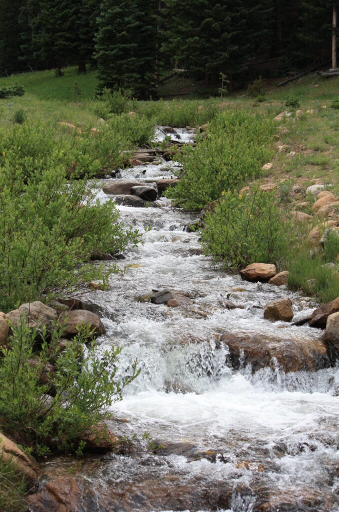
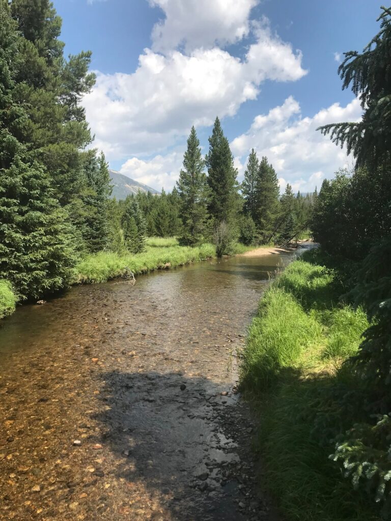
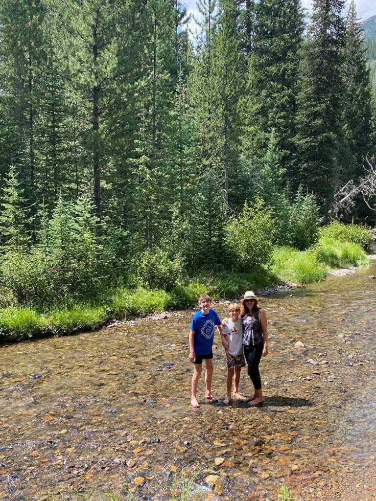
Since we were staying in Denver (a little over an hour away from the park entrance) on this trip, by the time we were done climbing rocks at the alluvial fan, the kids were already hungry. We pulled off at the Endovalley picnic area to eat our packed lunch. After eating we followed a path to a pretty little stream.
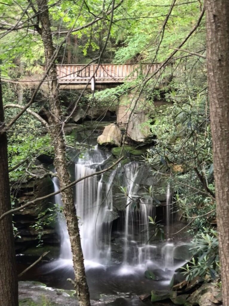
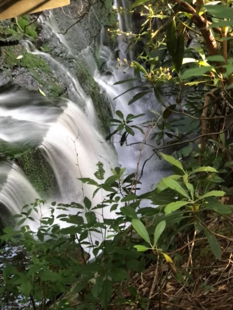
Old Fall River Road and Chasm Falls
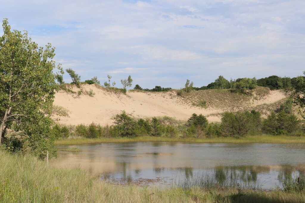
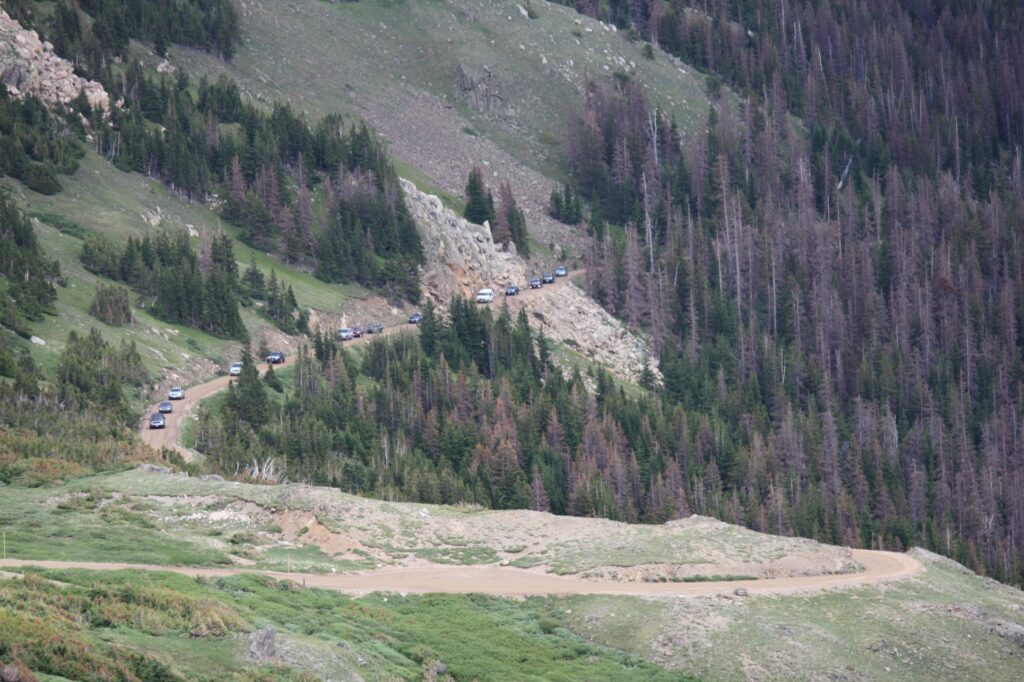
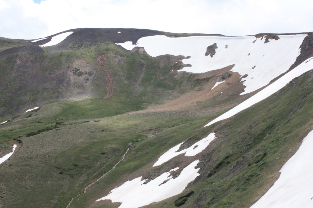
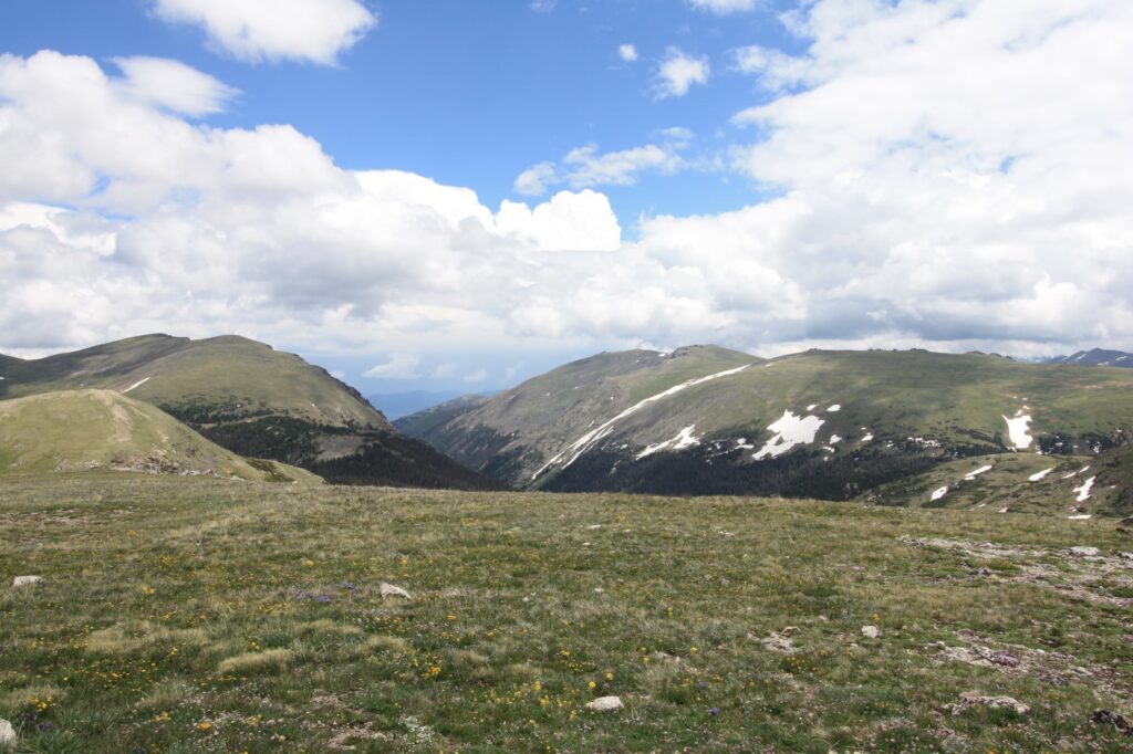
Just after the Endovalley picnic area, the one-way Old Fall River Road begins. This unpaved road is an adventure in itself as it snakes its way from an elevation of 8,500 to 11,700 at the Alpine Ridge visitor center.
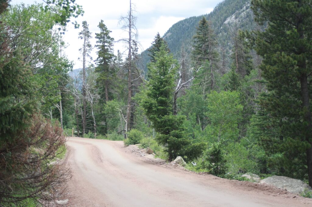
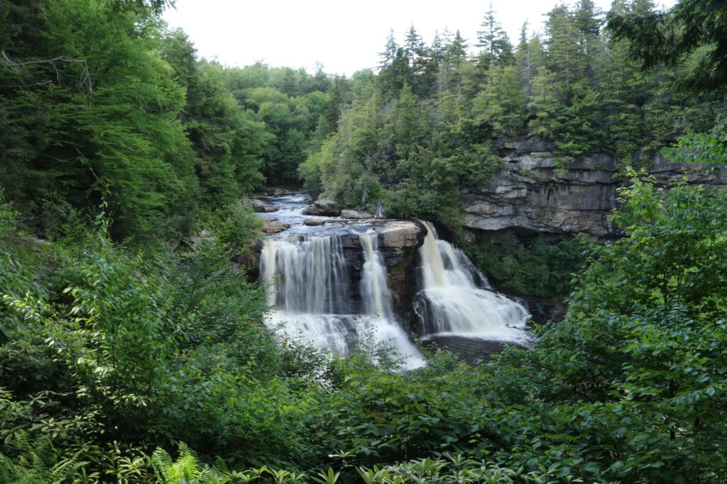
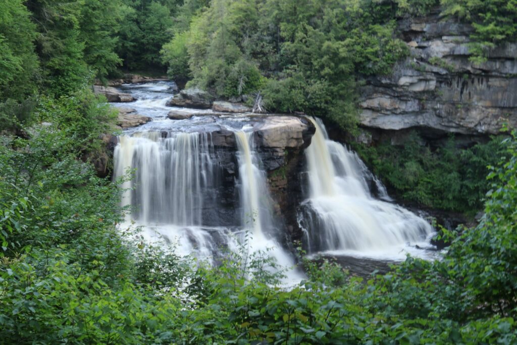
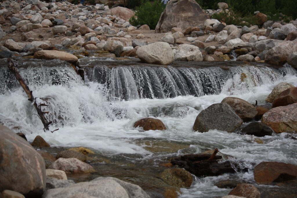
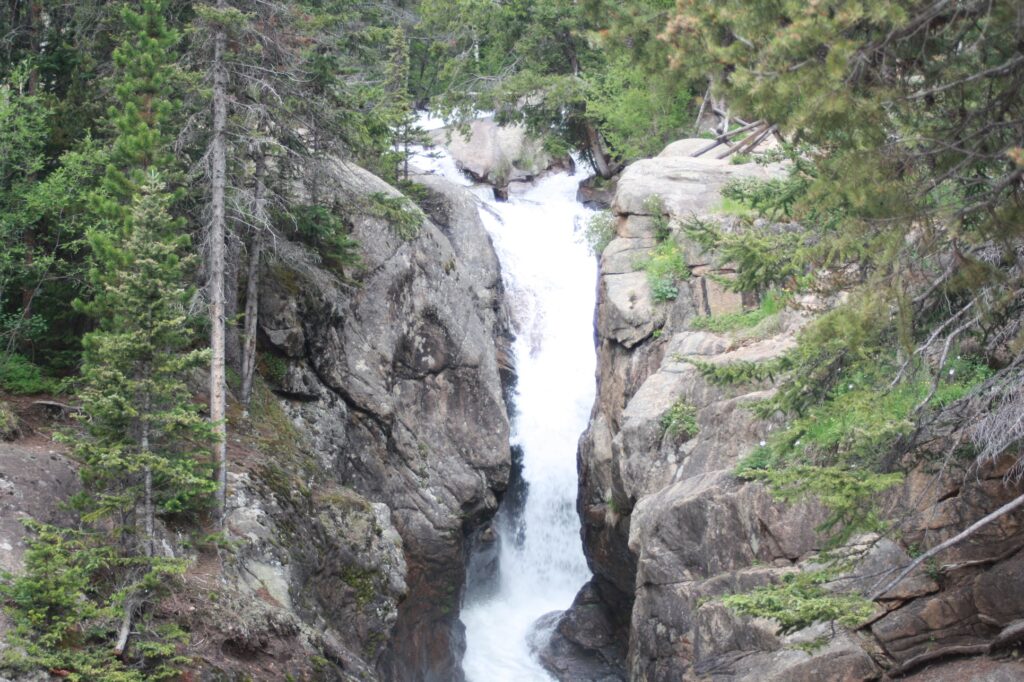
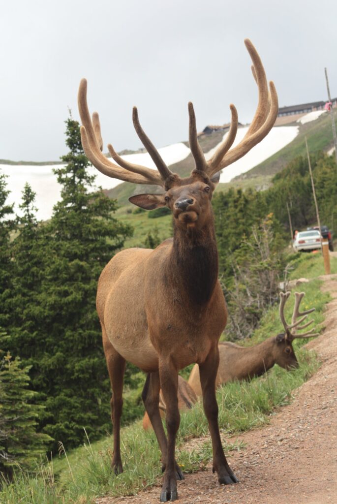
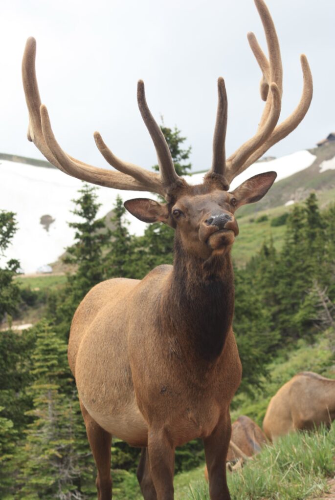
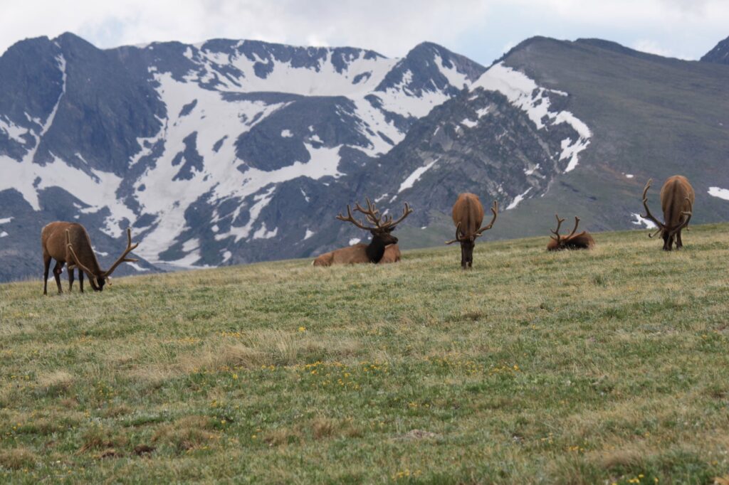
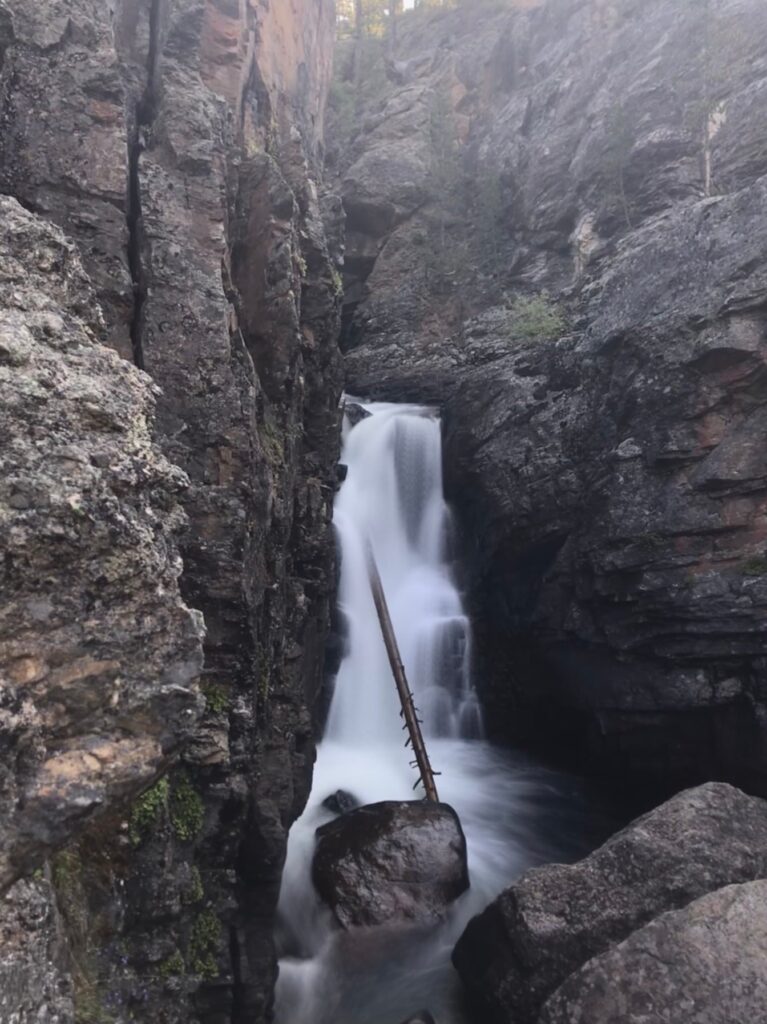
Highlights along the Old Fall River road drive include the 25-foot Chasm Falls and the elk that are often lolling about near the end of the road.
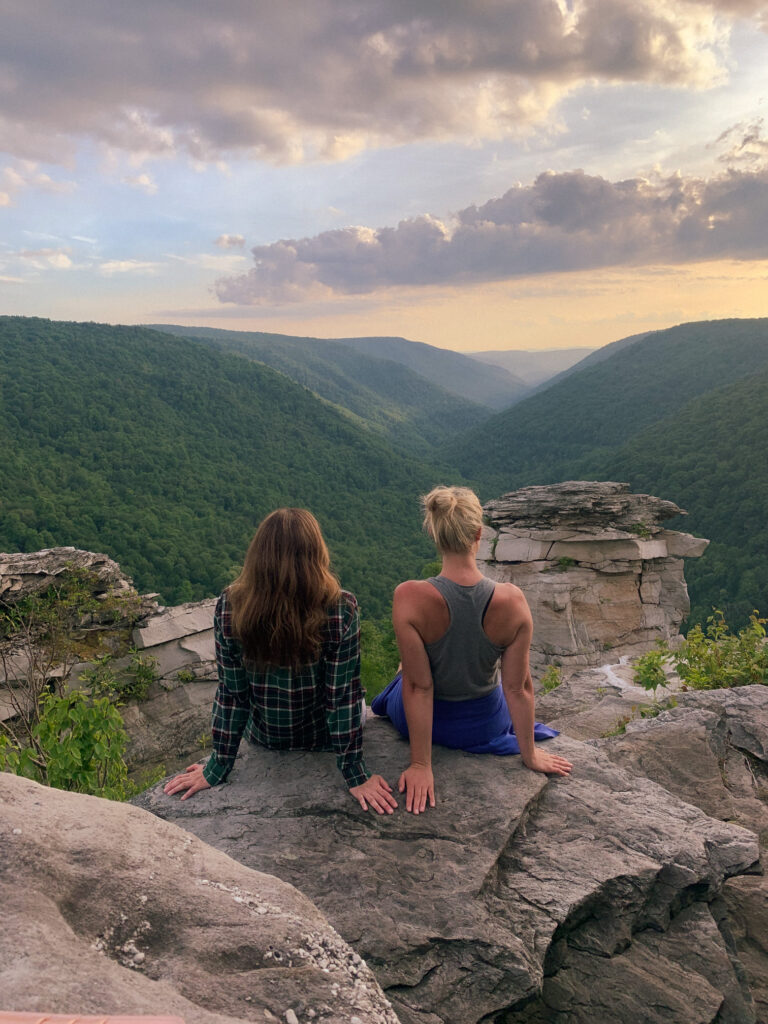
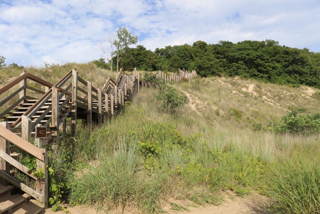
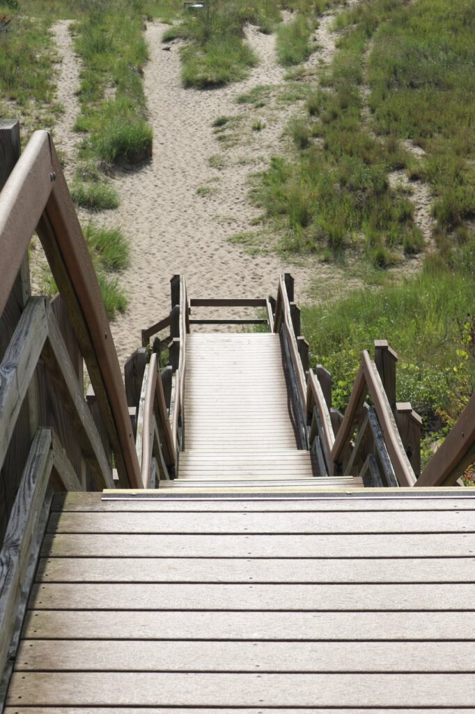
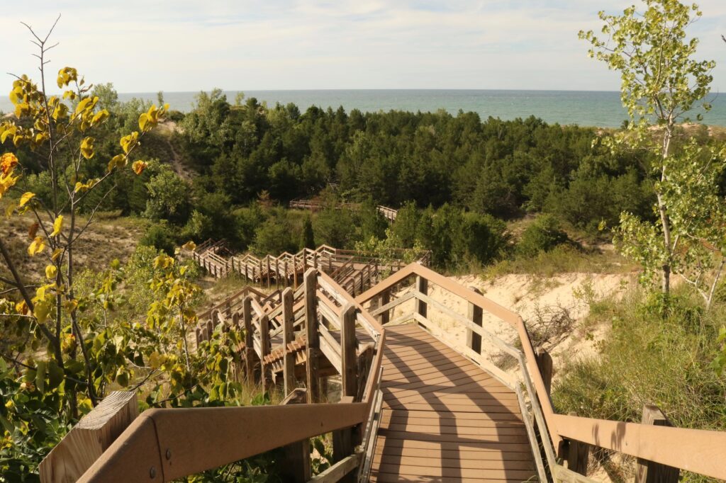
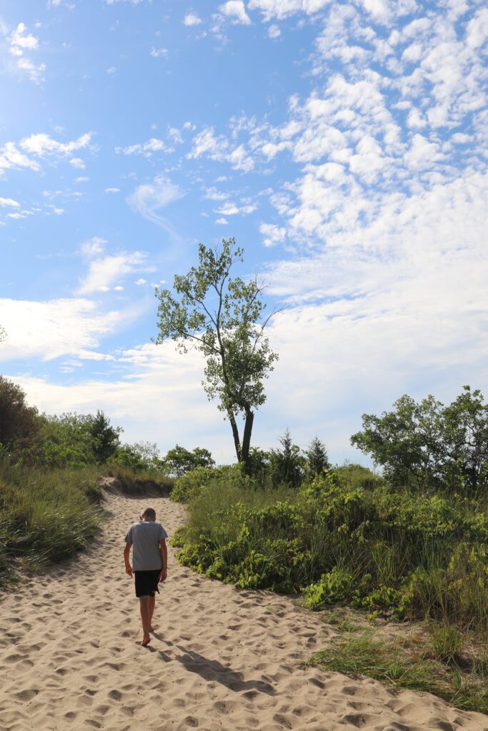
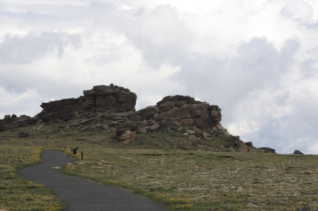
Alpine Ridge Trail
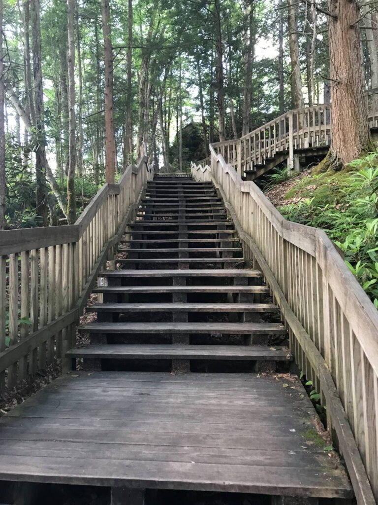
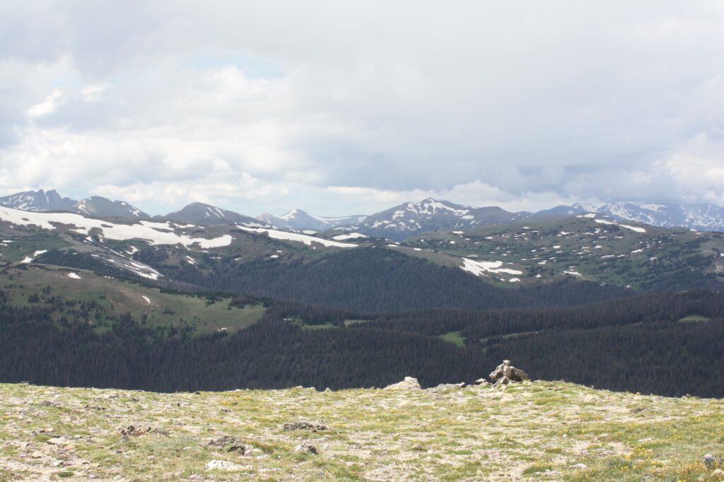
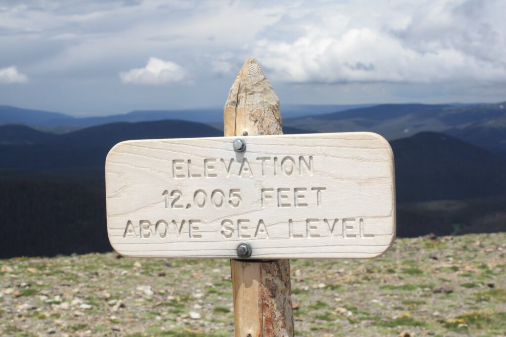
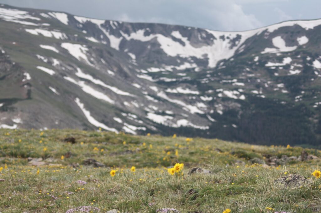
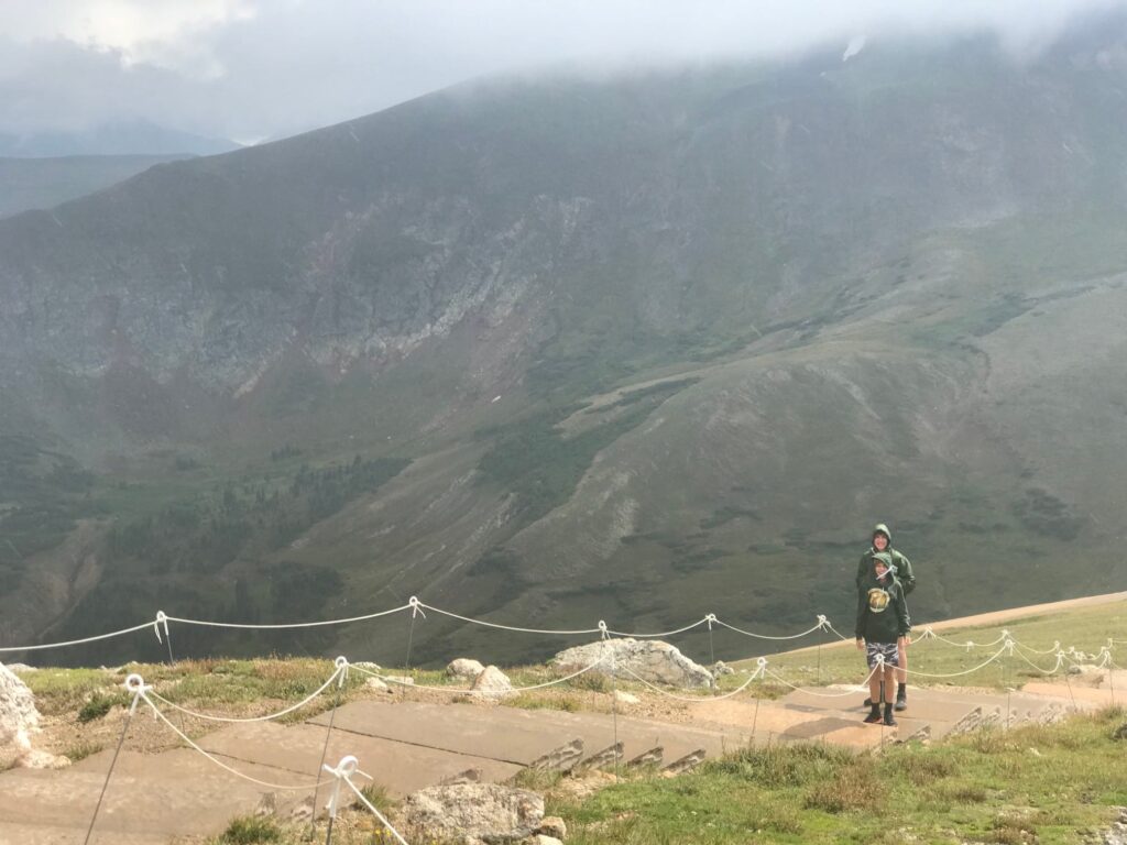
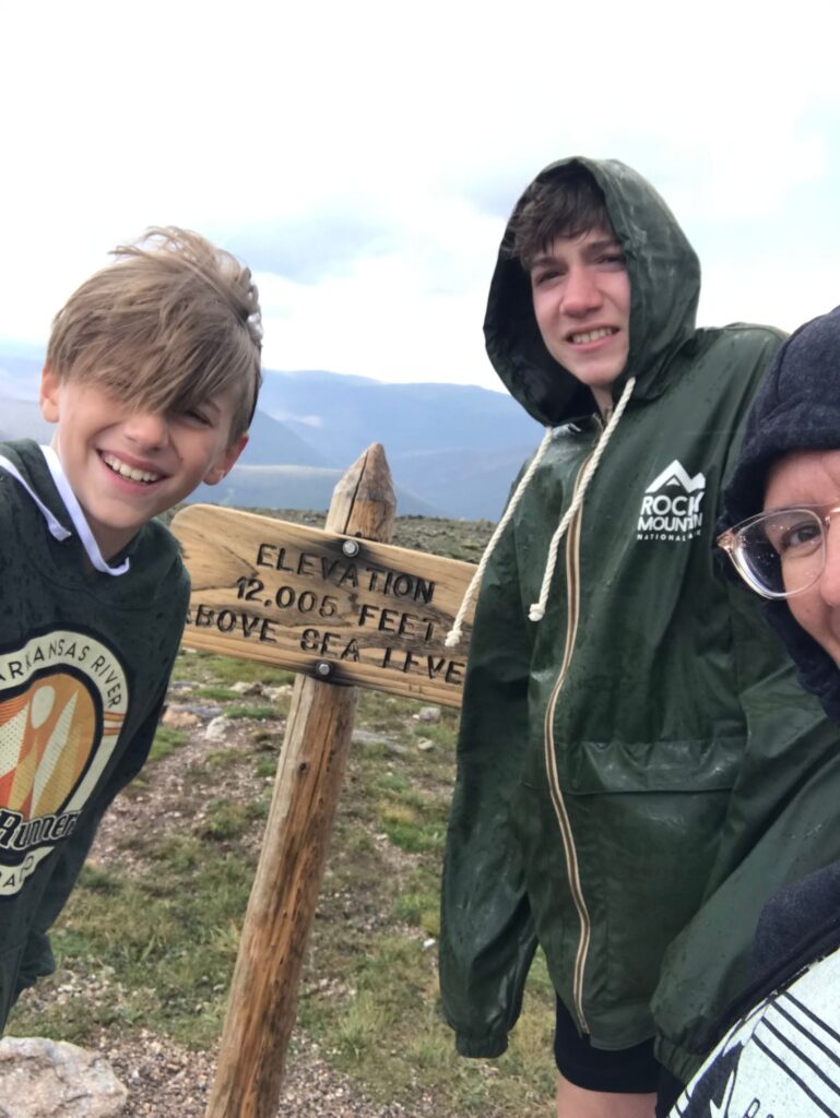
We arrived at the Alpine Visitor Center around 2:00pm. It was July 2nd, but the remains of the winter’s snow were still present. At the Alpine Visitor center, there are restrooms, a gift shop, interpretive exhibits, and a lovely veranda to just sit and enjoy the view. My favorite activity here was the Alpine Ridge Trail. Starting just steps from the parking lot, it takes you up over 400 stairs to reach an elevation of 12,005 feet.
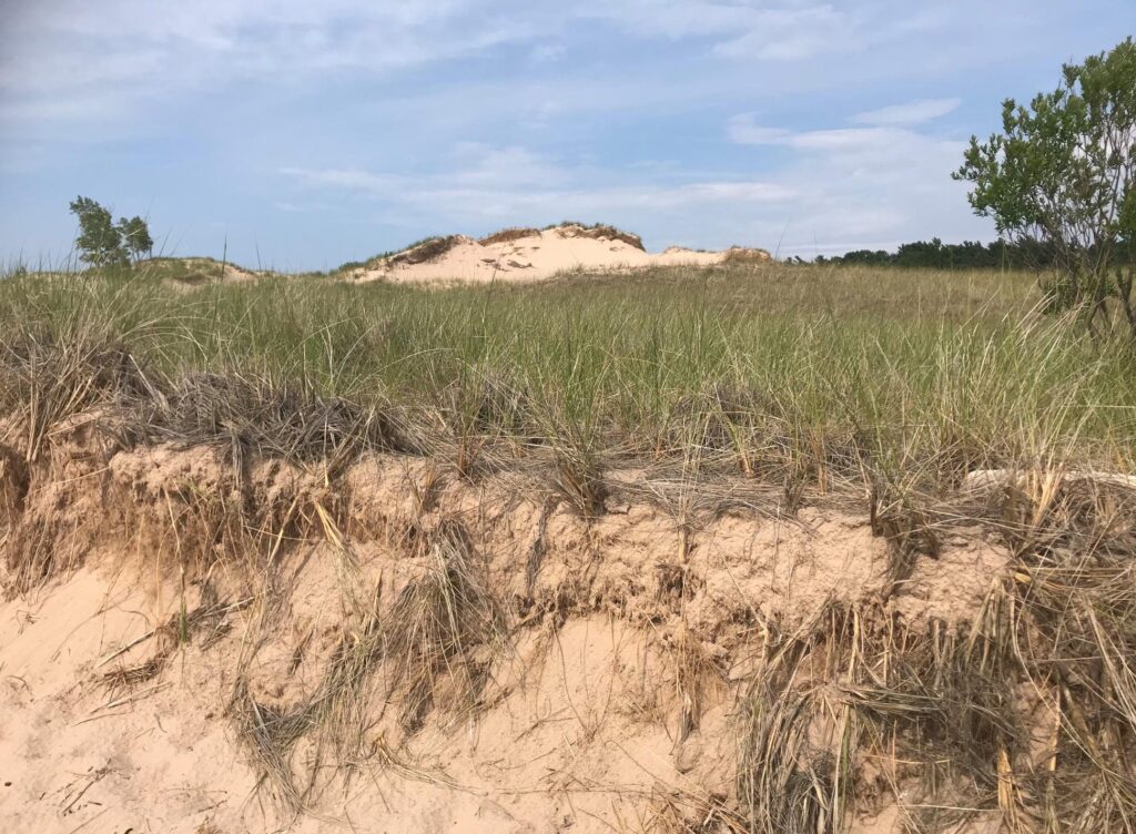
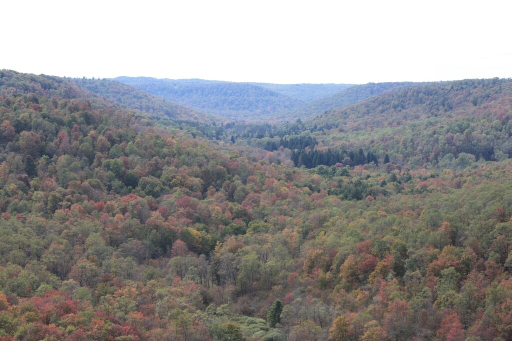
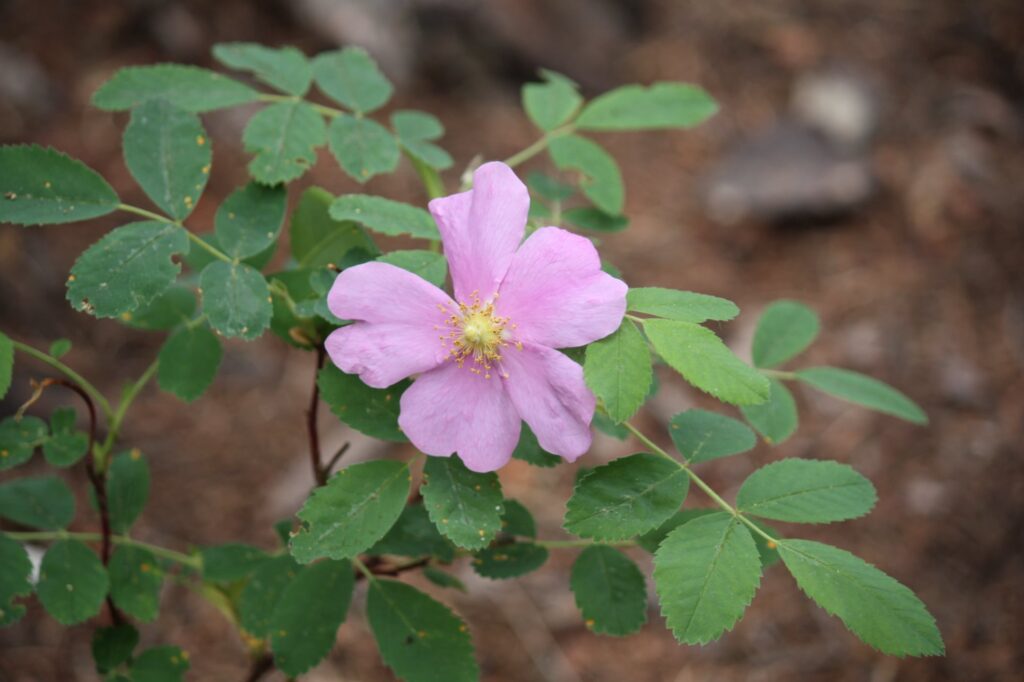
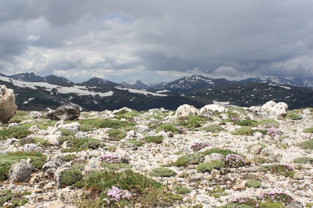
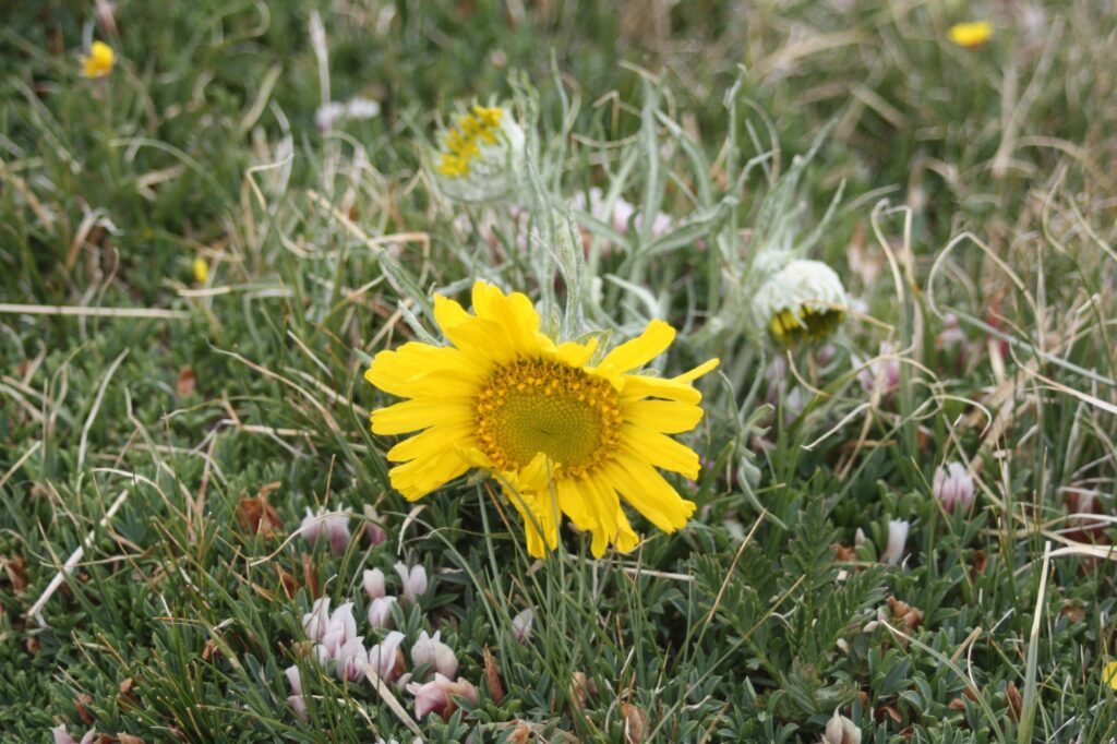
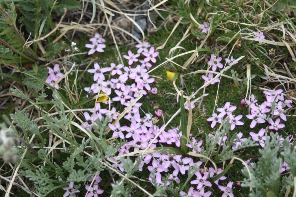
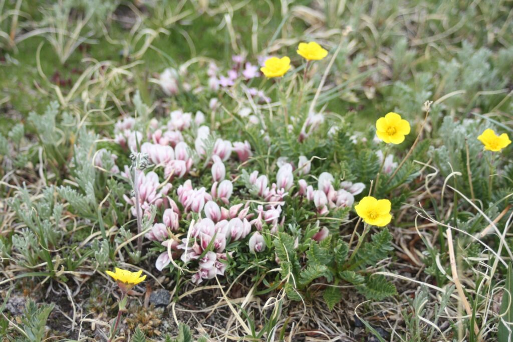
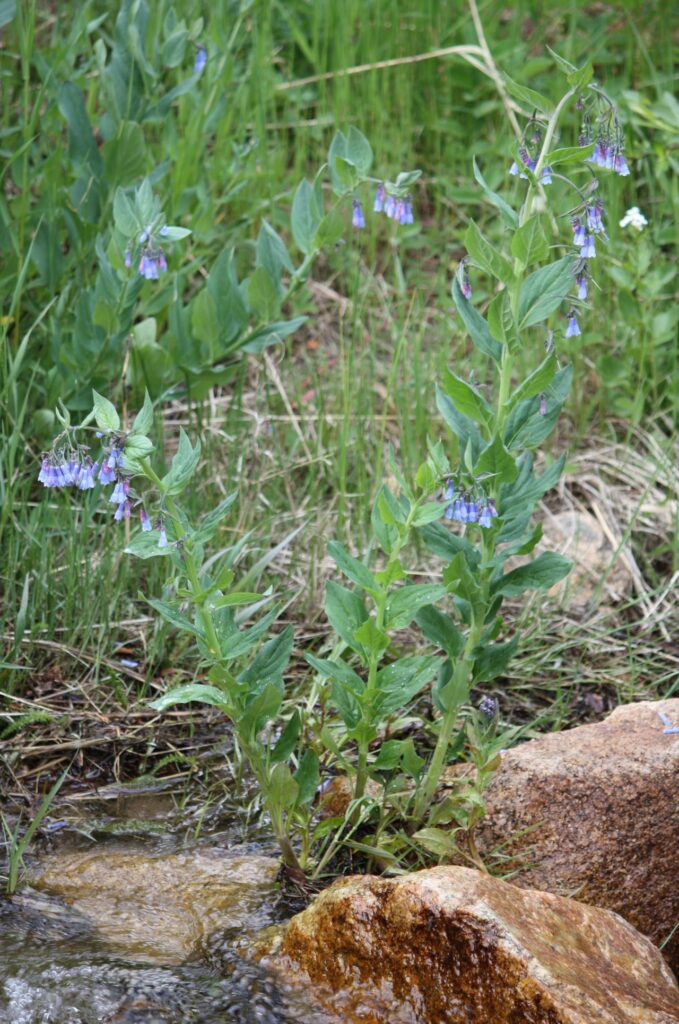
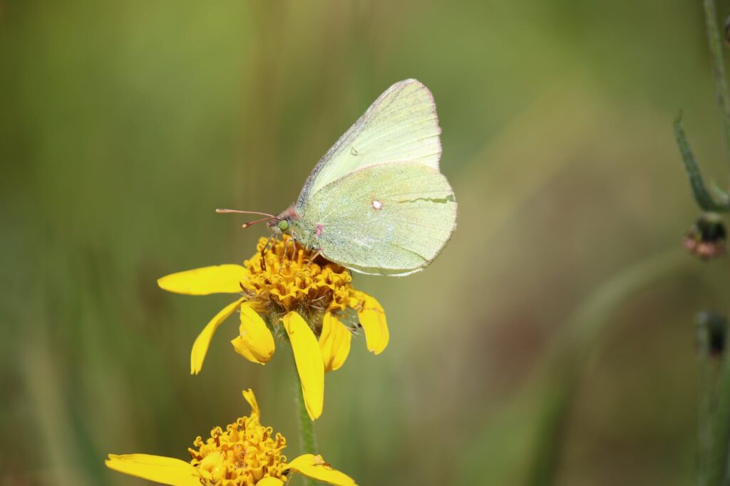
At this elevation the trees give way to tiny alpine tundra plants. The small flowers are a testament to life’s perservence amidst the greatest difficulties.
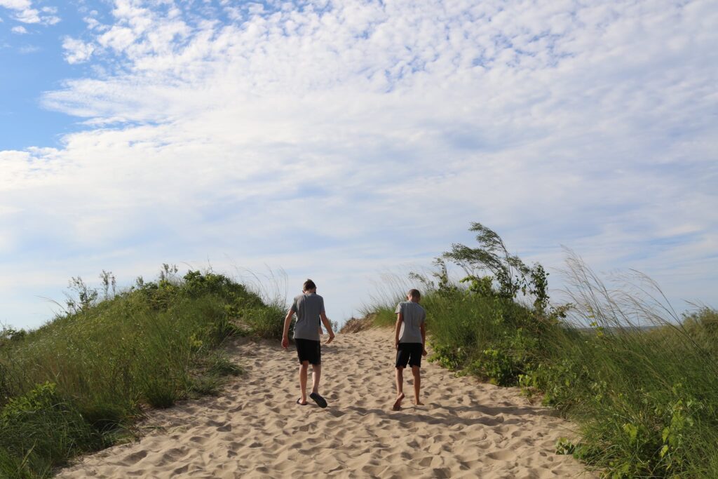
Tundra Communities Trail
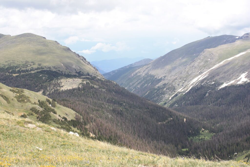
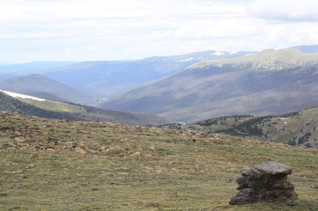
After the vistitor center and alpine ridge trail, we started our descent on the Trail Ridge Road. This road traverses the entire park but we were using it to return to our starting point in Estes Park.
One stop we enjoyed was the Tundra Communities Trail. The hike is only 1 mile on a paved trail but the elevation and beautiful views make you want to take it nice and slow. A benchmark at the top helps one orient themself to the views in front of them but in my opinion, the tiny alpine tundra plants stole the show.
Hidden Valley
Back down below 10,000 feet, we stopped one final time to rest and enjoy the warmer air at the Hidden Valley picnic area. I am always a bit sad to leave a park but I was confident that we would return.
Between this trip and our more recent visit to Colorado, our family travels took us to Utah’s big 5, Acadia and northern Maine, Northern California, and Wyoming’s Yellowstone and Grand Teton Parks. We had encountered most of the North American megafauna but one animal was still eluding us, the moose.
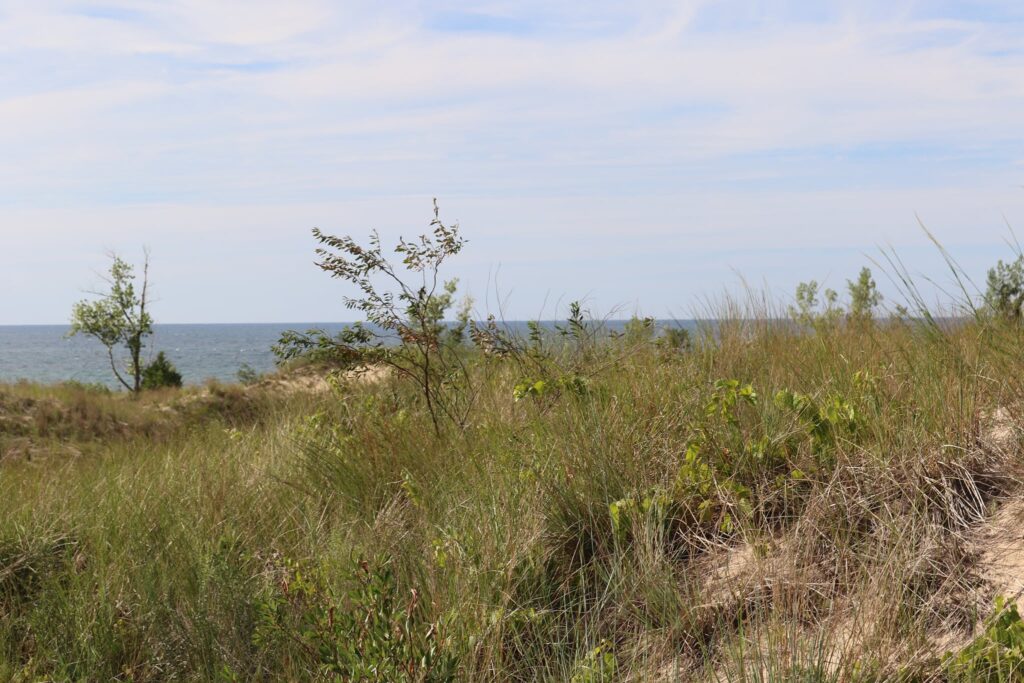
The West Side
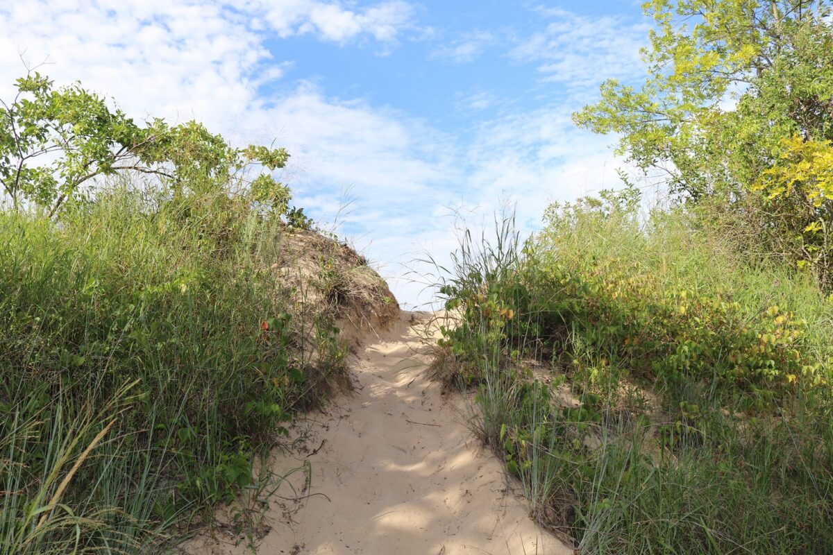
We returned to the park in 2021. It was our final destination on a road trip to visit all of Colorado’s National Parks. We spent two nights in a beautiful A-frame rental that we found on VRBO. It was 12 minutes to the trailhead for Adams Falls and 5 minutes to the Kawuneeche Visitor Center. The west side entrance of the park is near the town of Grand Lake. It was very charming and did not have the overwhelming crowds of Estes Park. I chose the rental I did because the listing displayed pictures of moose seen from the home!
First “sighting”
Up before the sun with excitement, I bundled up to enjoy my morning coffee on the deck. As the sun was rising, I heard munching in the brush 20 yards from the house. The light was still dim and I could not get a photo but my youngest came out to join me just in time to be treated to the flank of a retreating moose. Sighting number 1! They do exist! The rest of the family, however, was still skeptical.
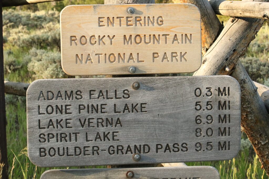
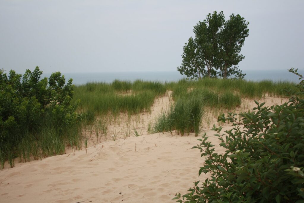
Adams Falls
Leaving the kids to sleep in and have a relaxed breakfast, my husband and I drove to the other side of Grand Lake to hike the short trail to Adams Falls. The parking area can be found here. Though this trail does not require driving into the park through a major entrance, a valid park pass is still required. Information about purchasing passes can be found here. When timed entry passes are required in addition to the standard park pass, this is a trailhead that can still be accessed at any time.
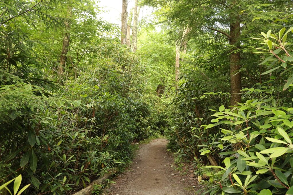
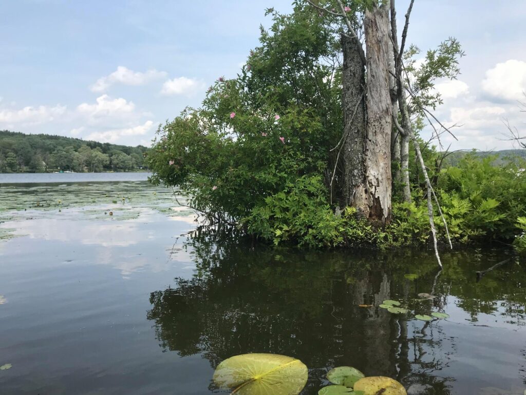
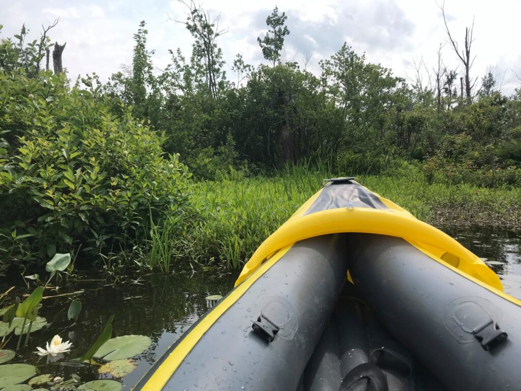
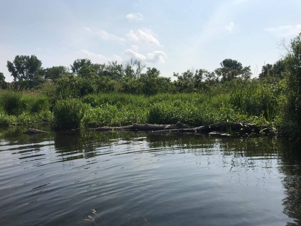
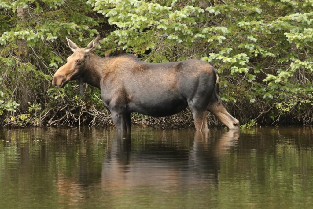
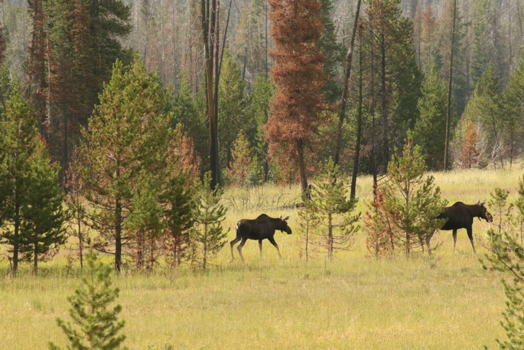
After exploring the falls, we ventured along the East Inlet Trail. The trail followed the East Inlet a bit before passing through an open meadow and then entering into some thicker forests. Back in the forest, about 50 feet off the trail, moose number two was lurking, munching her way through the vegetation.
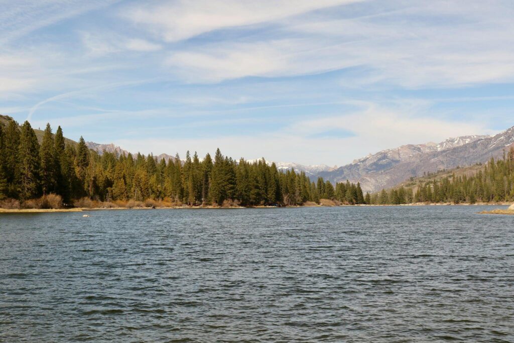
Trail Ridge Road
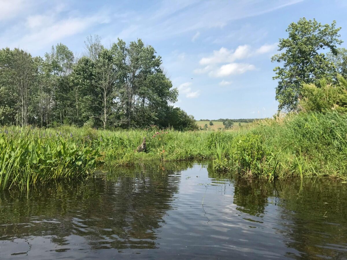
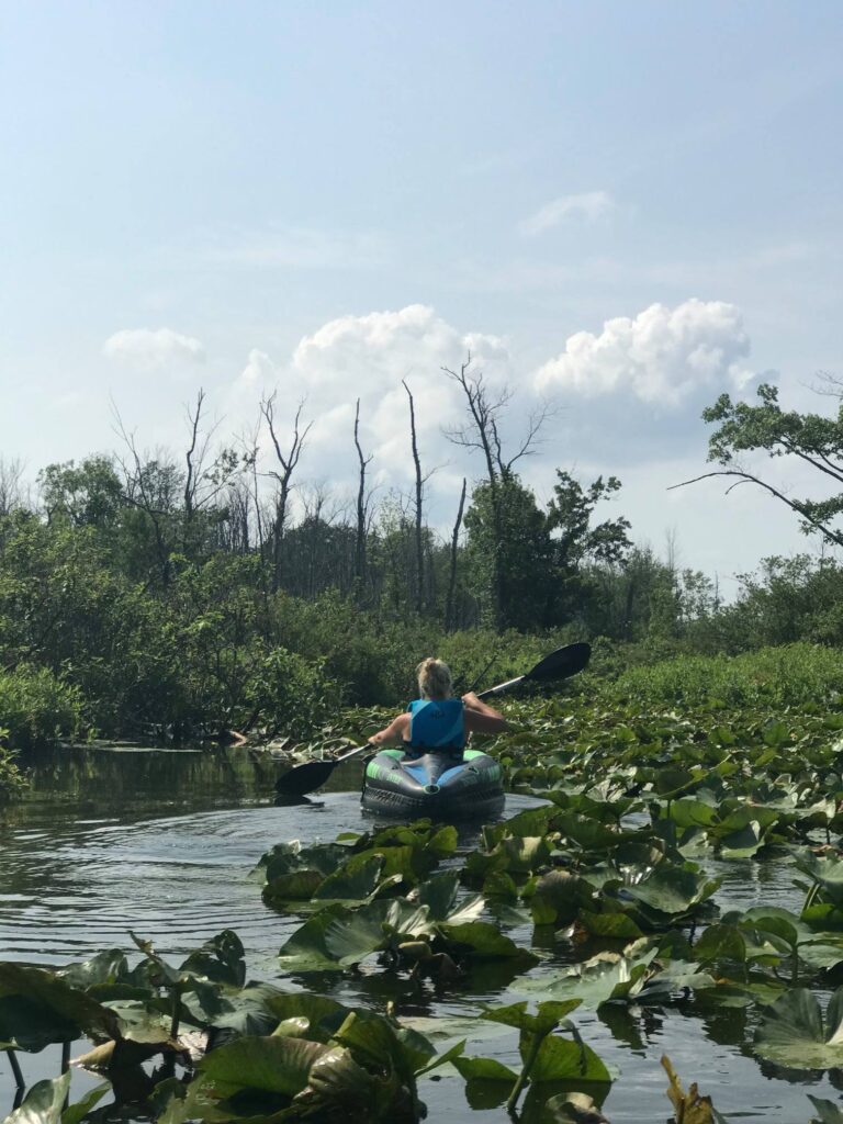
We scooped up the kids from the rental and set off to see the west side of Rocky Mountain National Park. We picked up the Trail Ridge Road, intent on covering all the ground we had missed out on 5 years before. After passing through some burn scar, including a partially destroyed entrance gate, from the fall 2020 East Troublesome fire, our first stop was the Coyote Valley Trail. This pleasant 1-mile trail is flat and wheelchair/stroller accessible. It also gave us a chance to get up close to the Colorado River.
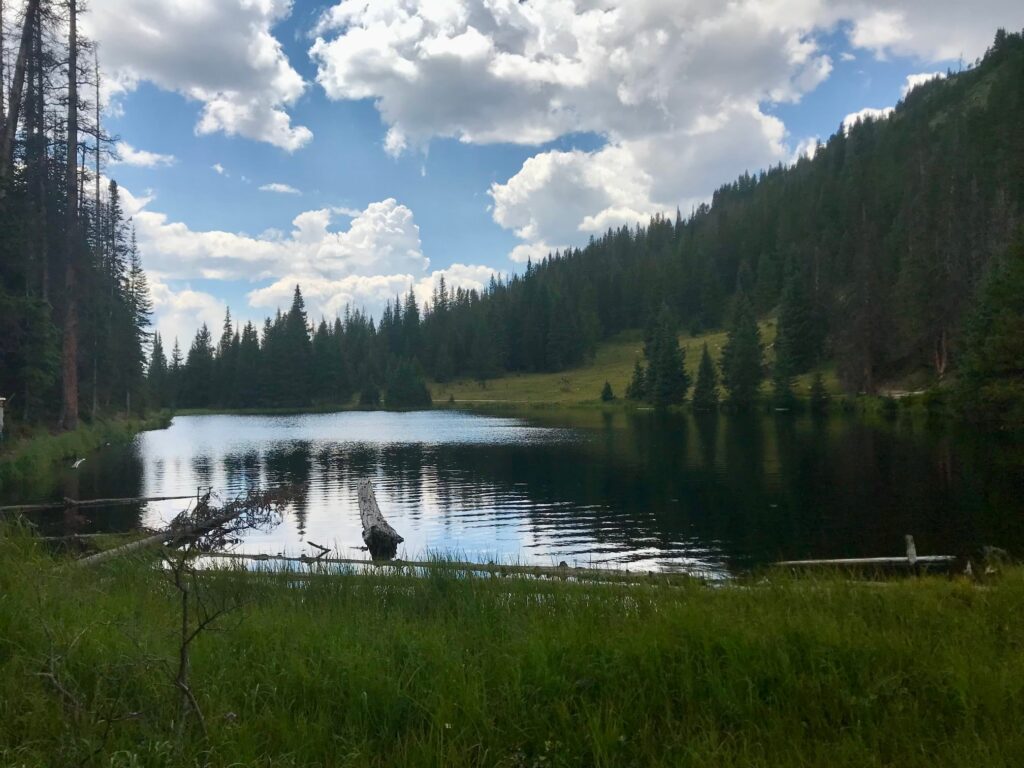
Lake Irene Picnic Area
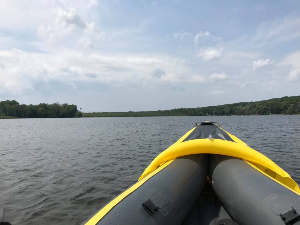
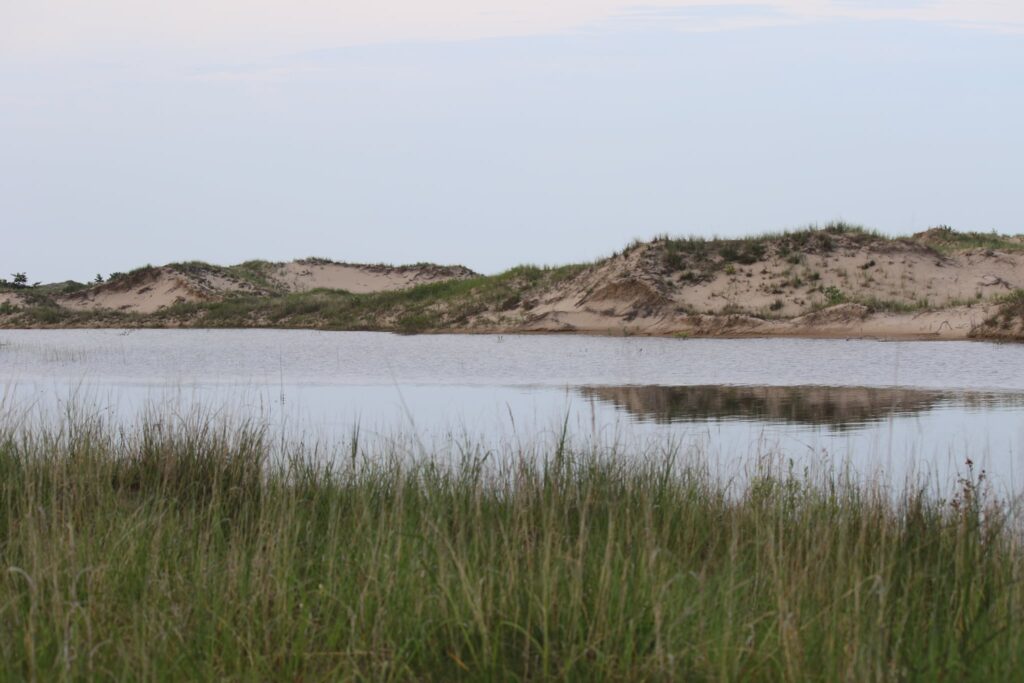
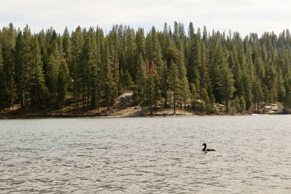
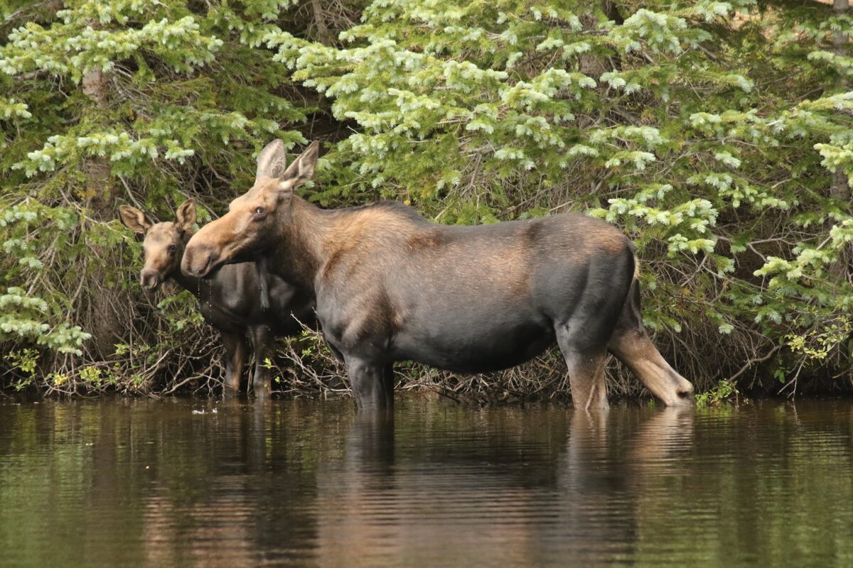
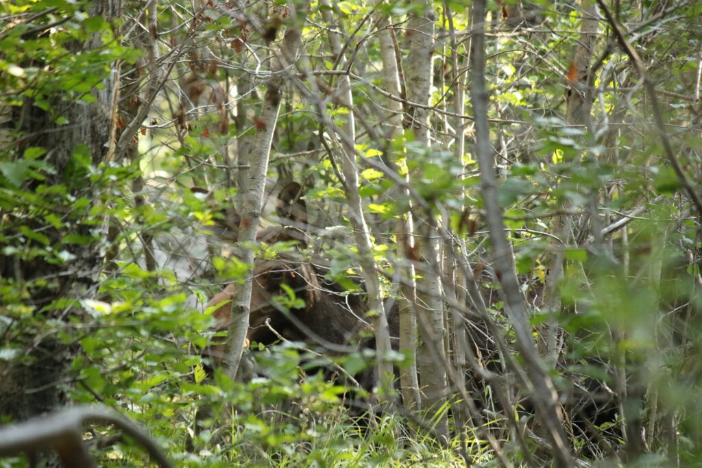
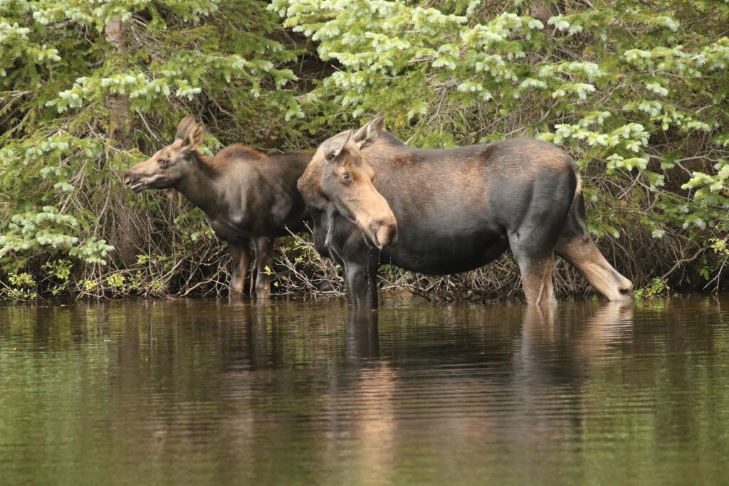
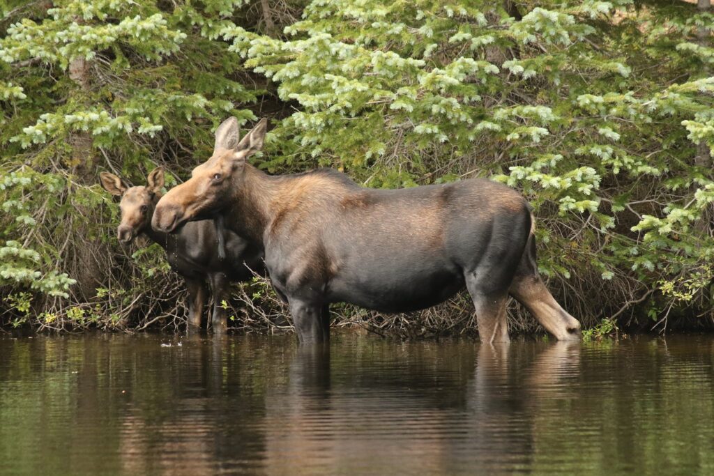
Our lunch stop for the day was the Lake Irene Picnic Area. Parking was a bit crowded but once we found a spot there were plenty of open picnic tables. After eating we strolled down to the lake and this was where we had our best moose sighting yet!
As we walked along the edge of the water, a mother moose brought her calf down to the water’s edge on the opposite side of the lake. We stood and just watched for a very long time.
The return to the Alpine Ridge Trail
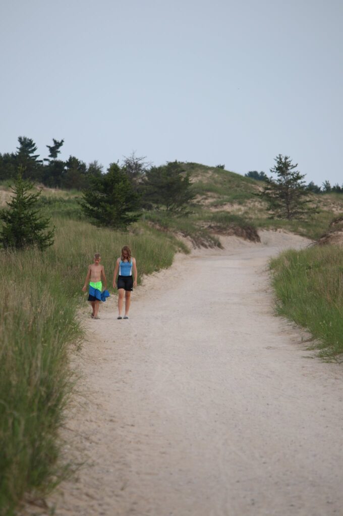
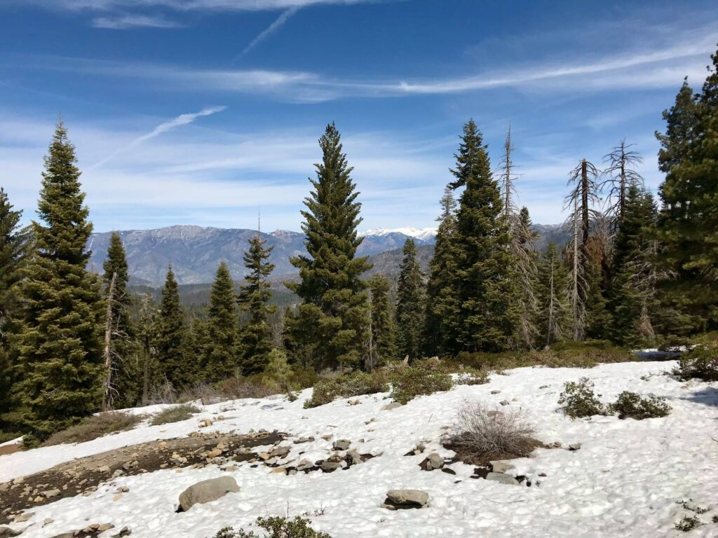
Our goal for the day, other than finding moose, was to make it back to the Alpine Visitor Center. After a stop at the gift shop, I convinced the boys to hike the Alpine Ridge Trail with me again. It was August 13th and it was just starting to snow!
Here comes the snow!
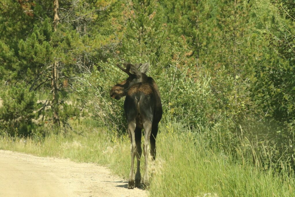
We retraced our path back to Grand Lake, satisfied that we had now traveled all of Trail Ridge Road and satisfied with our grand moose sighting! But before leaving the park, we spotted moose numbers 5 and 6!
Then moose number 7…the end.
Come along for the fun! Subscribe below.