Salmon River Falls

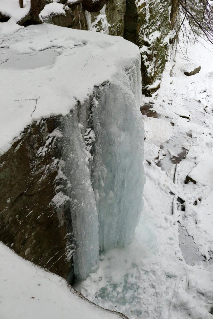
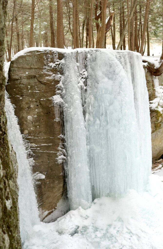
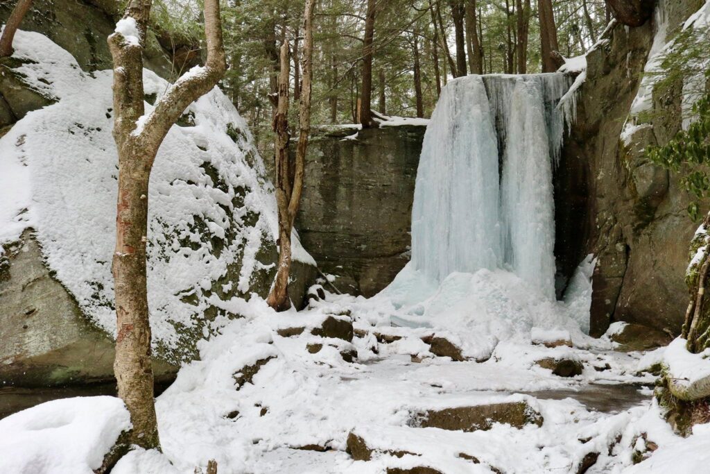
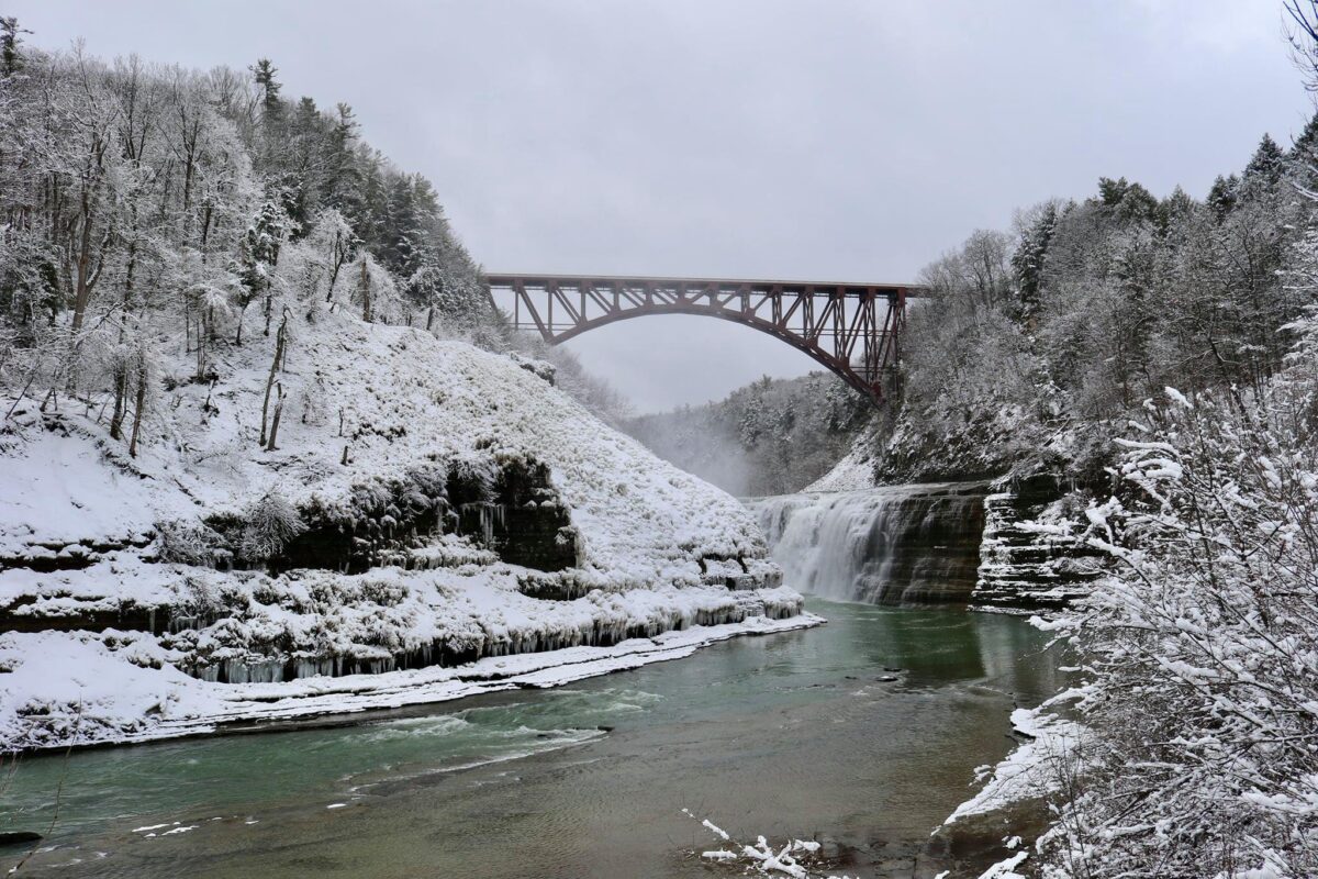
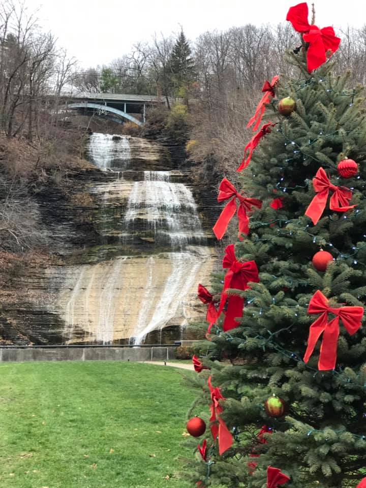
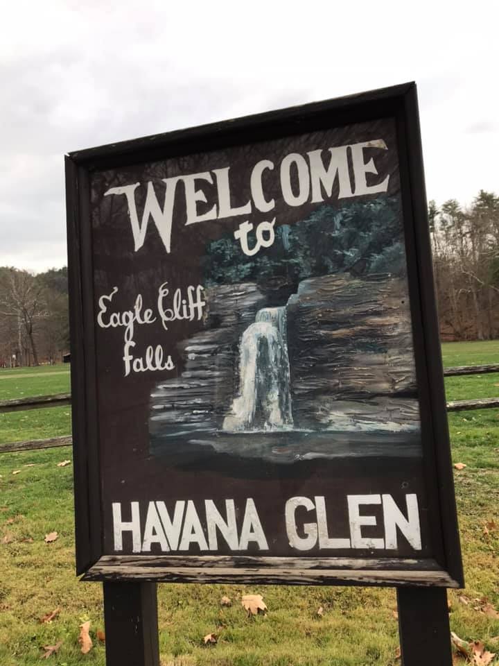
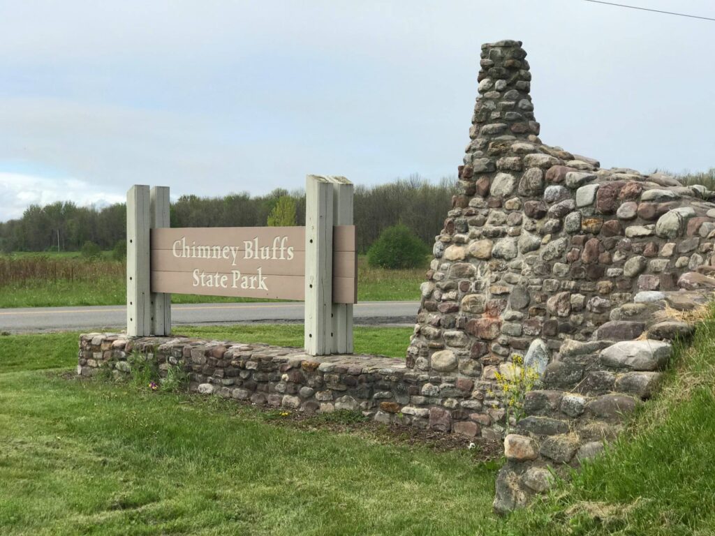
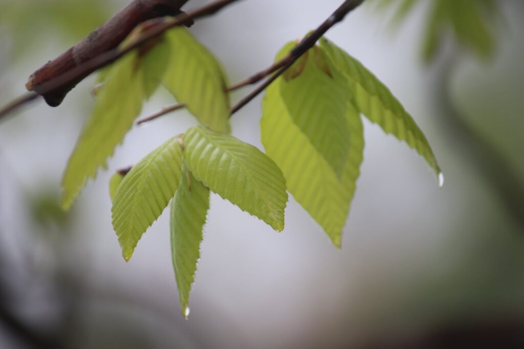
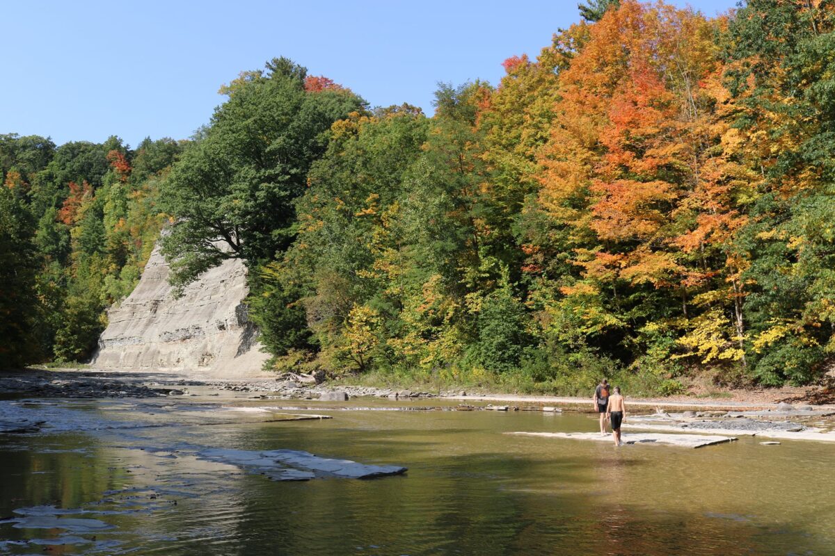
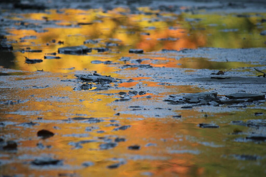
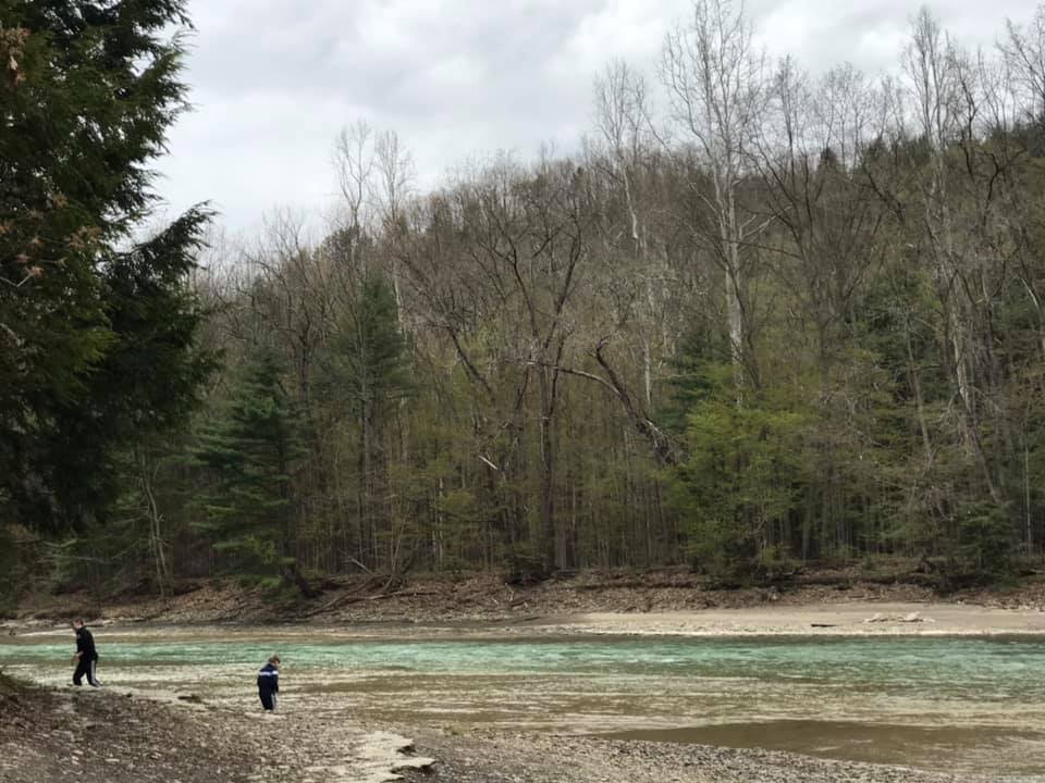
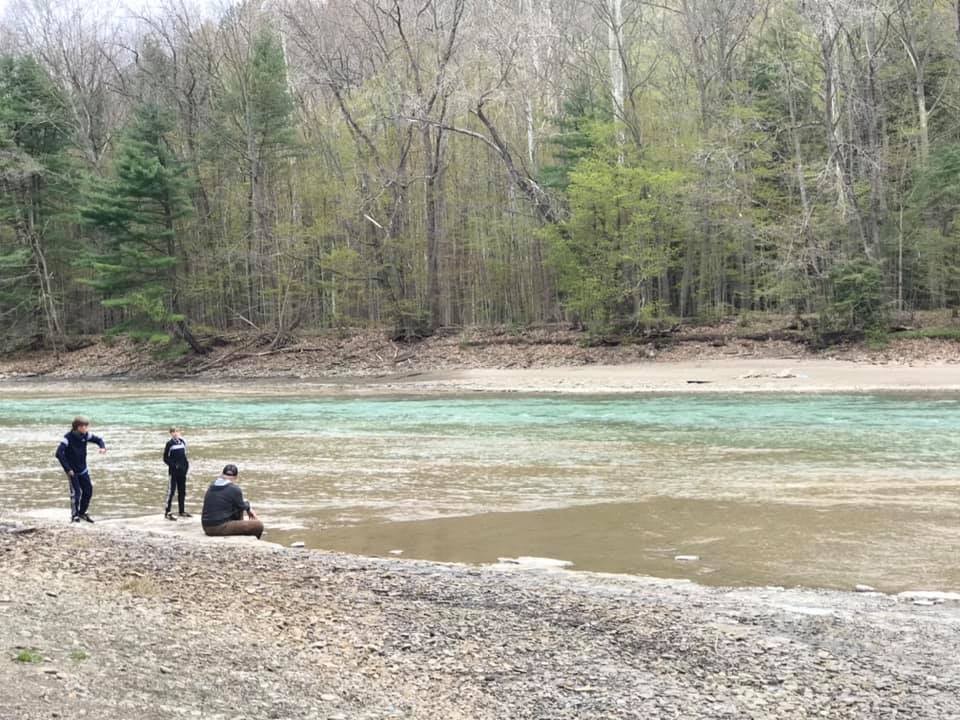
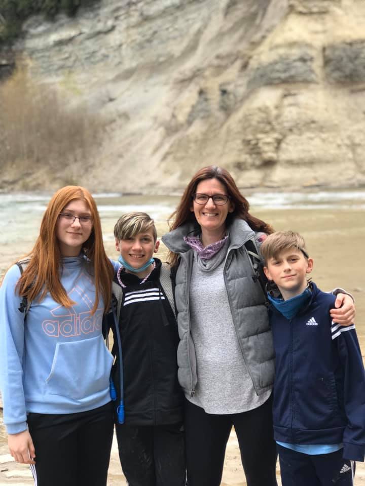
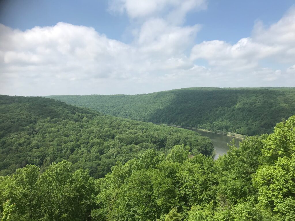
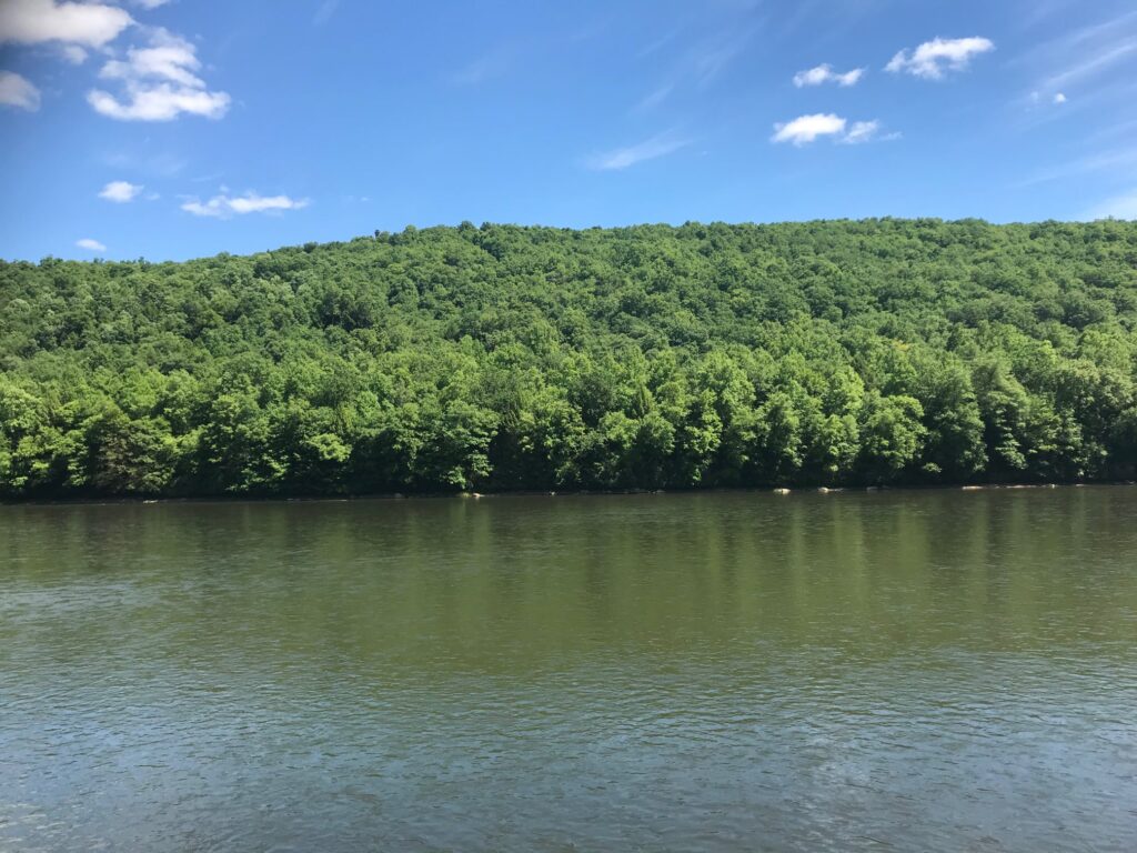
On a trip up to the Adirondacks to do some winter hiking, we decided to break up the drive by stopping to see Salmon River Falls near Pulaski, NY in Oswego county. It took us a bit longer than planned to arrive, as a section of bridge was out on Route 22 and we had to retrace our path to approach it after the bridge, but otherwise, it was easy to find. If you are traveling this way in the winter or spring of 2021, take Hog Back Road to 22 North to avoid the closure. The parking area is located along Falls Road here.

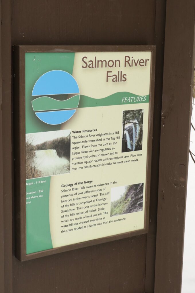
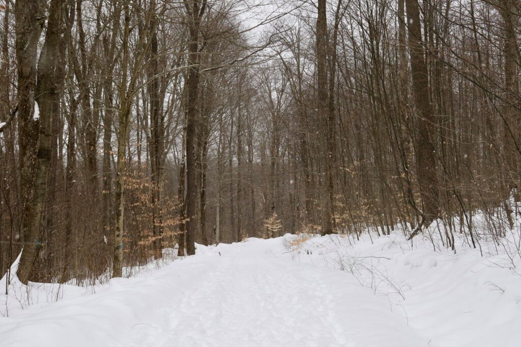
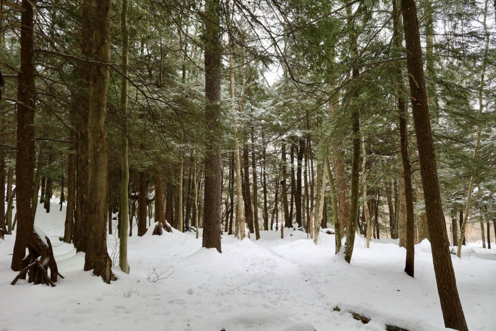
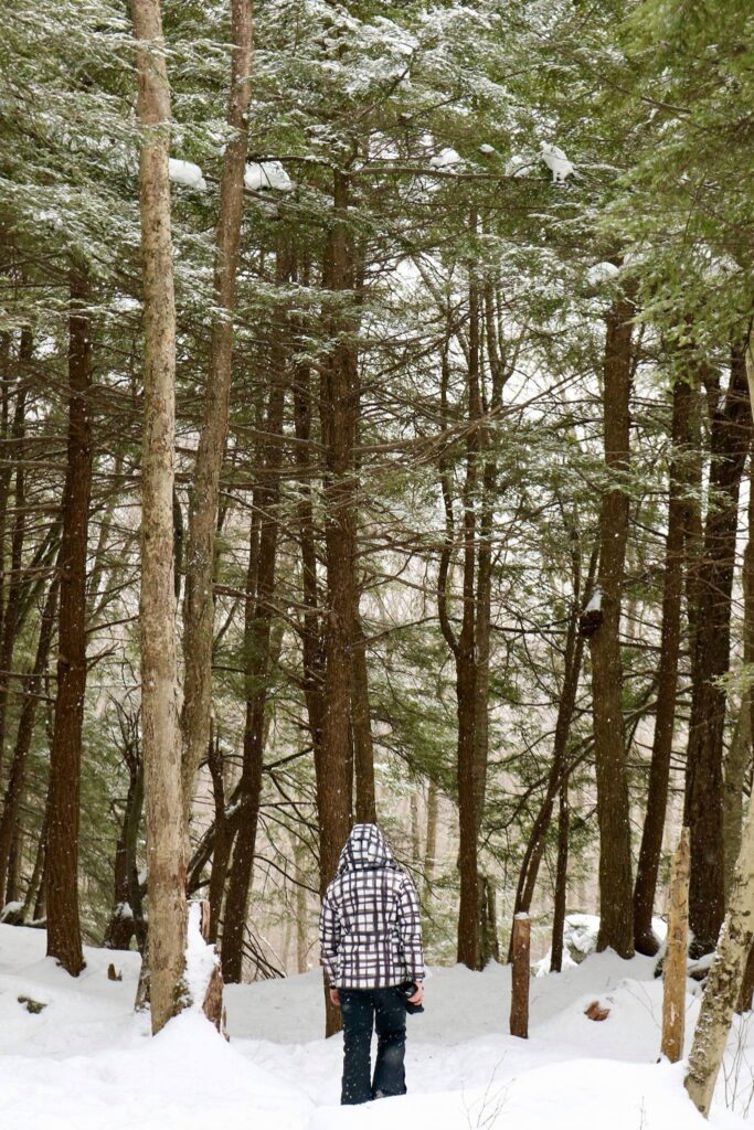
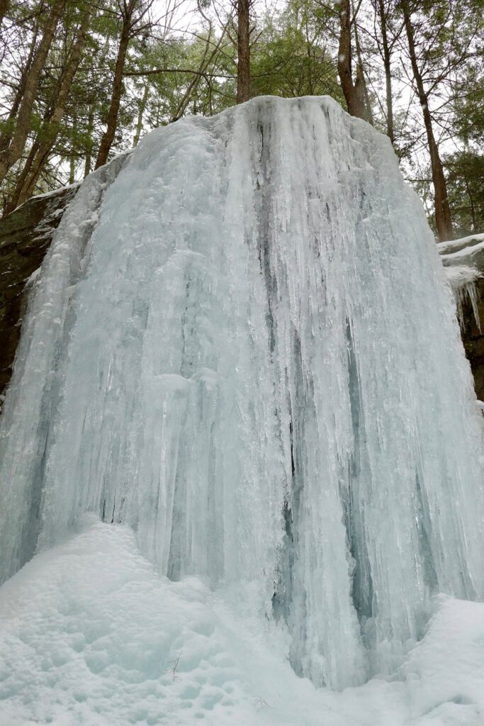
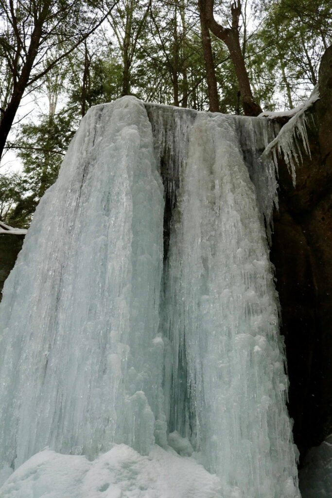
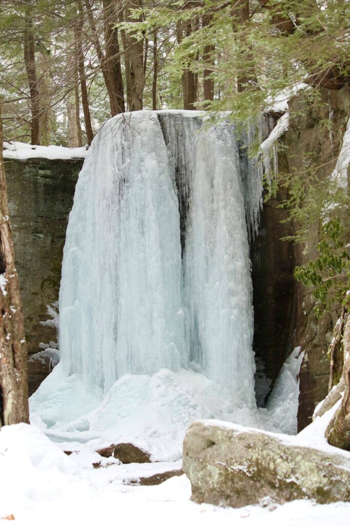
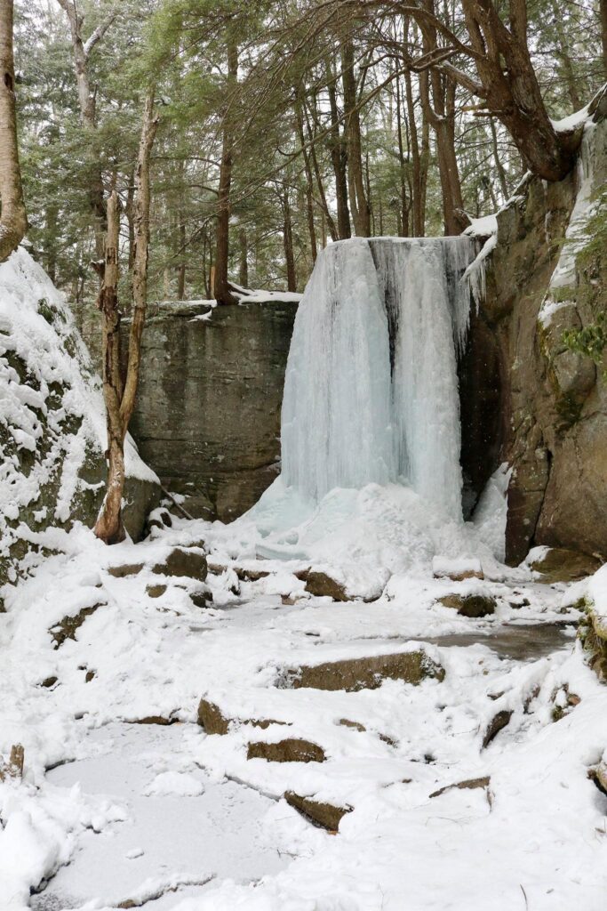
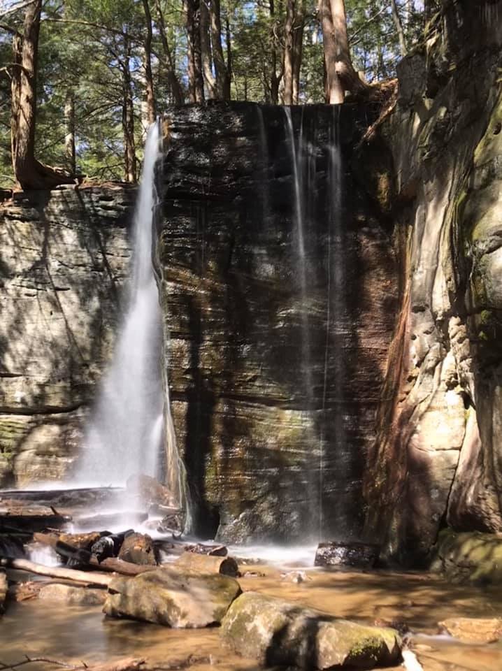
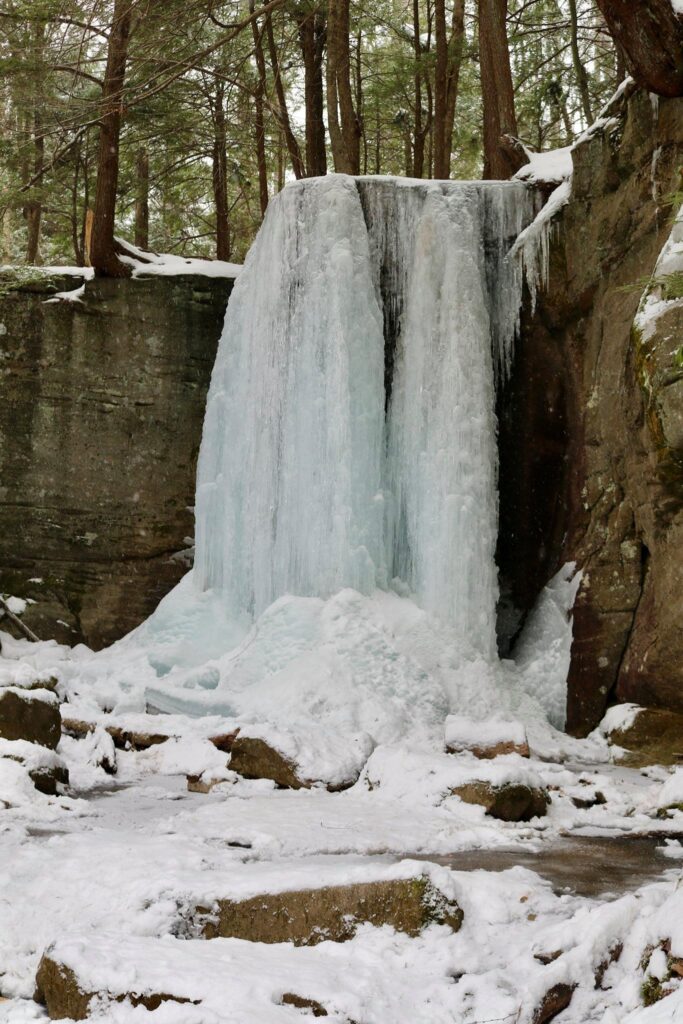
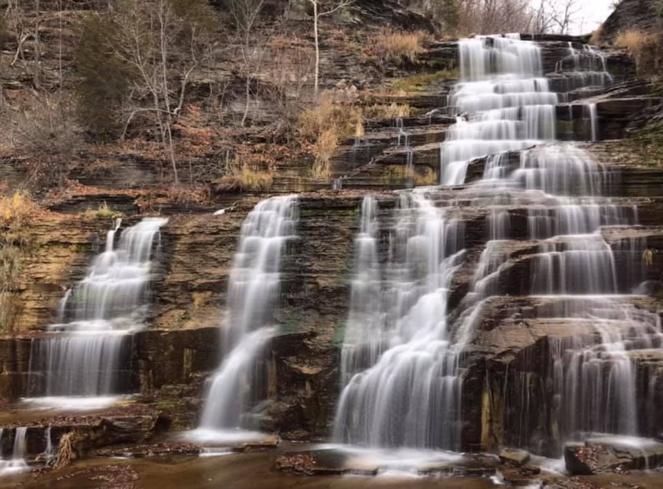
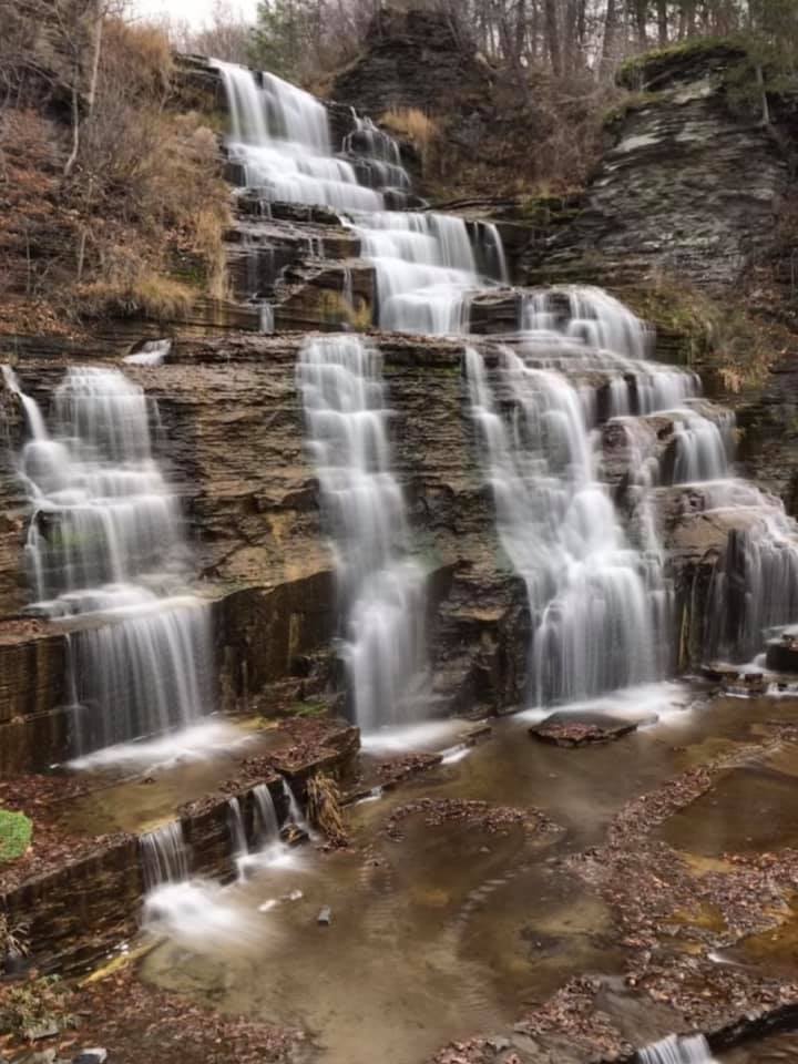
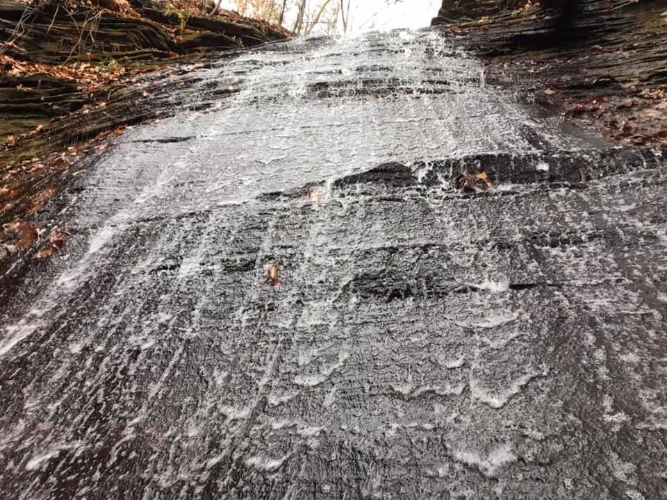
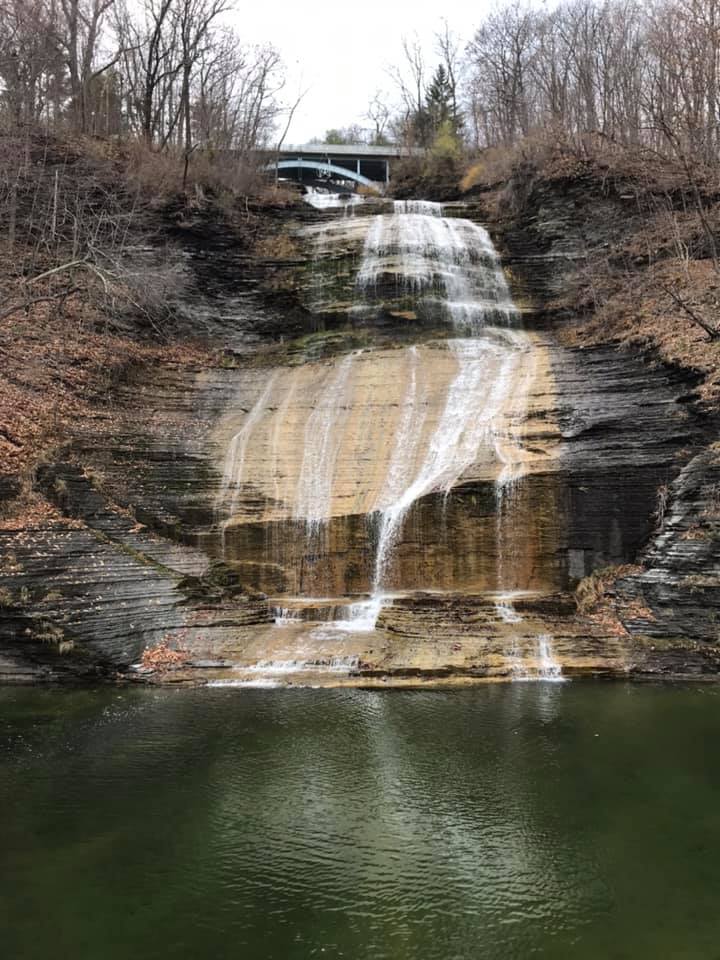
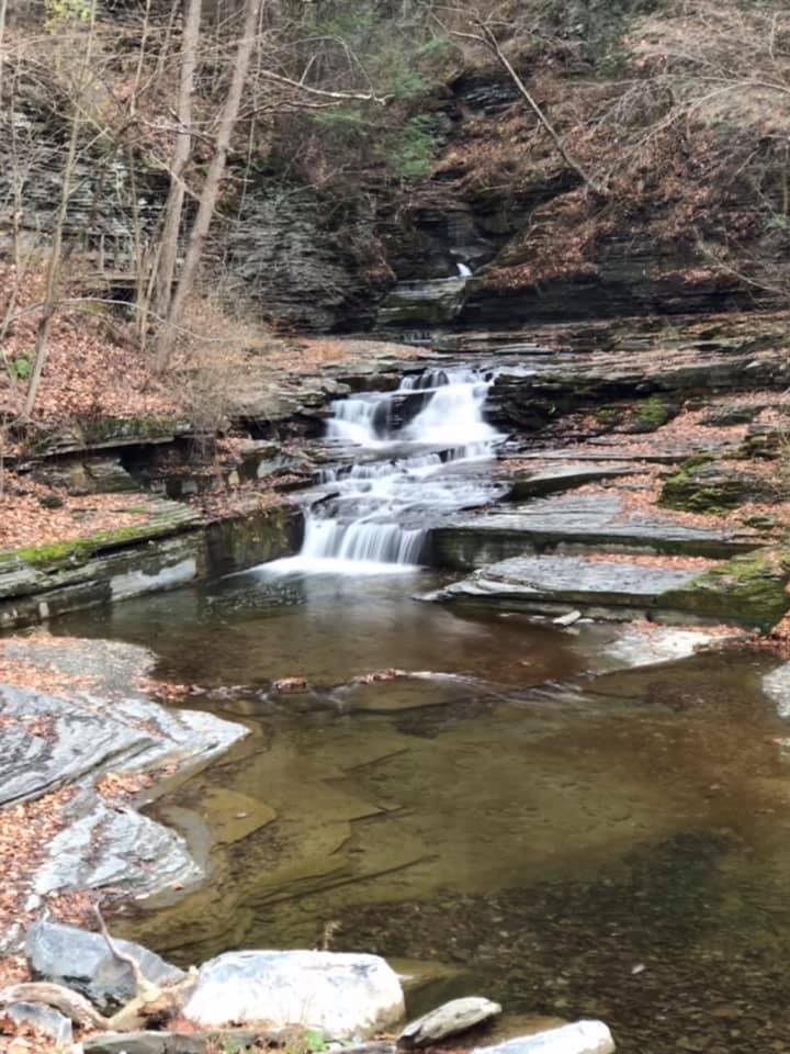
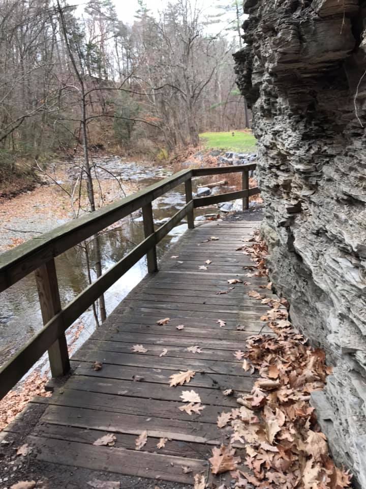
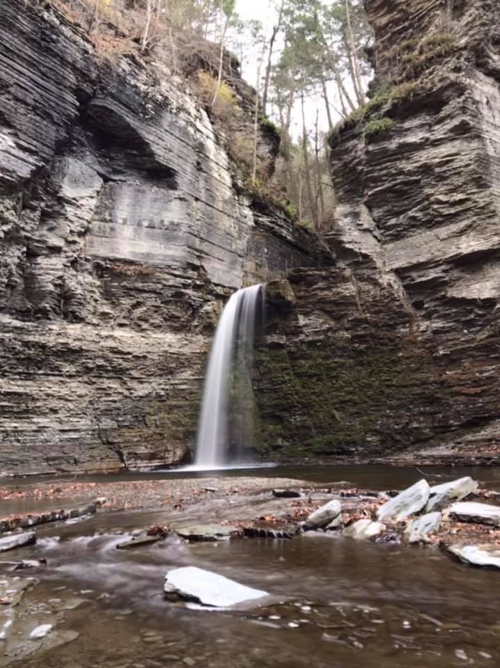
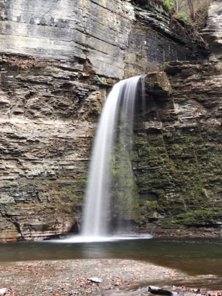
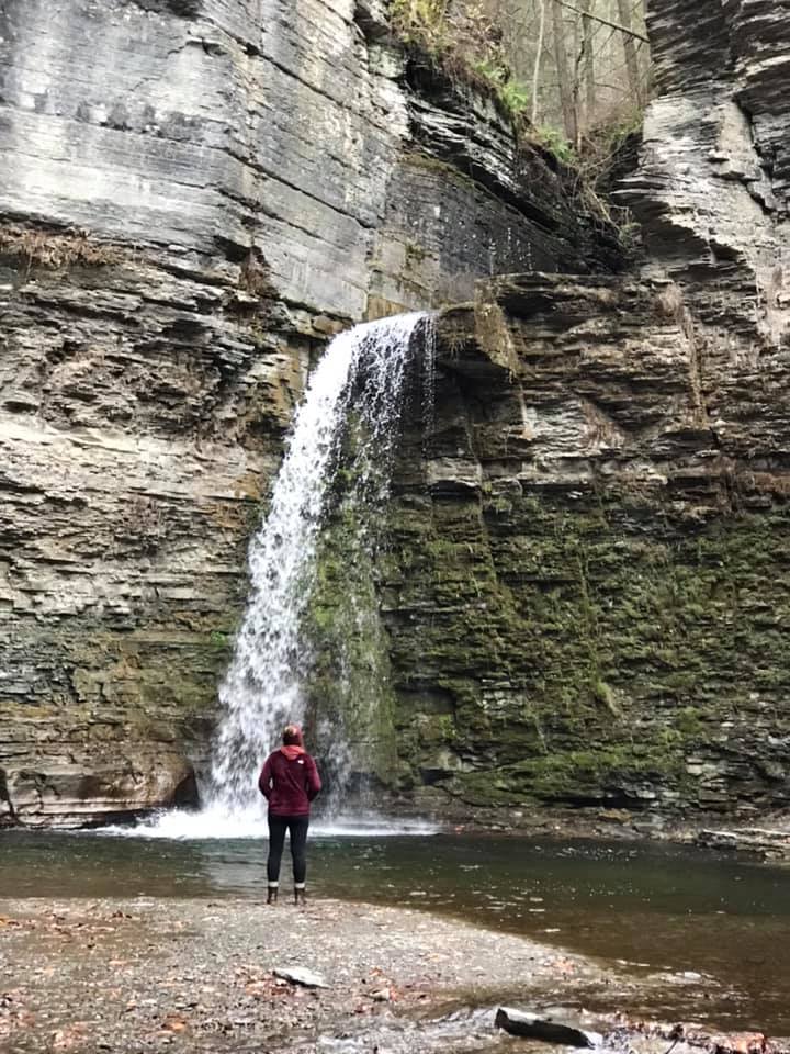
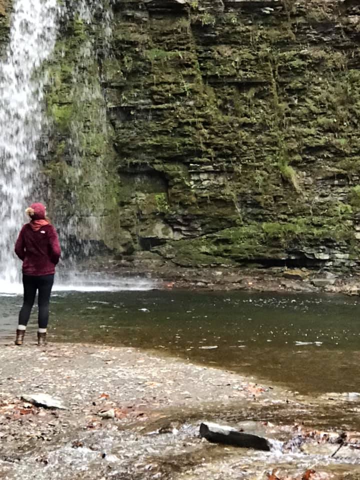
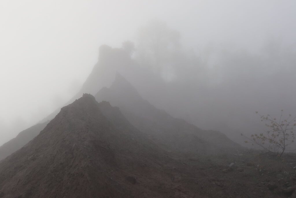
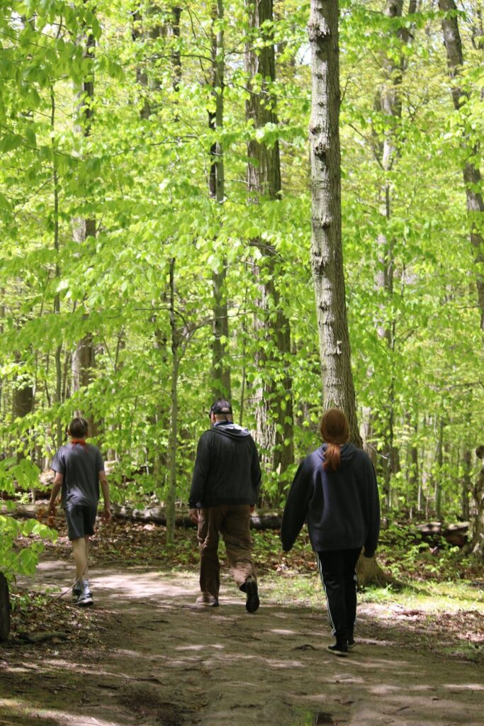
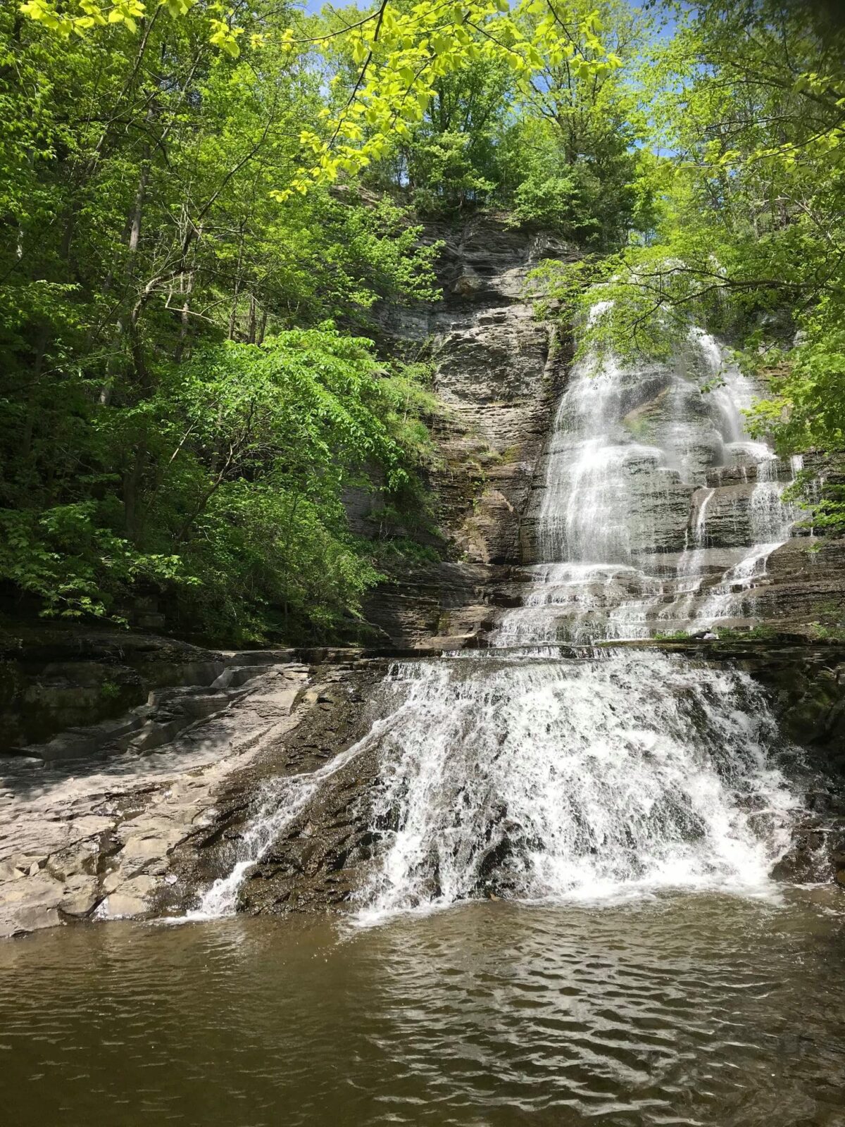
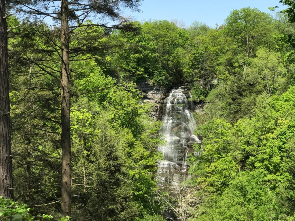
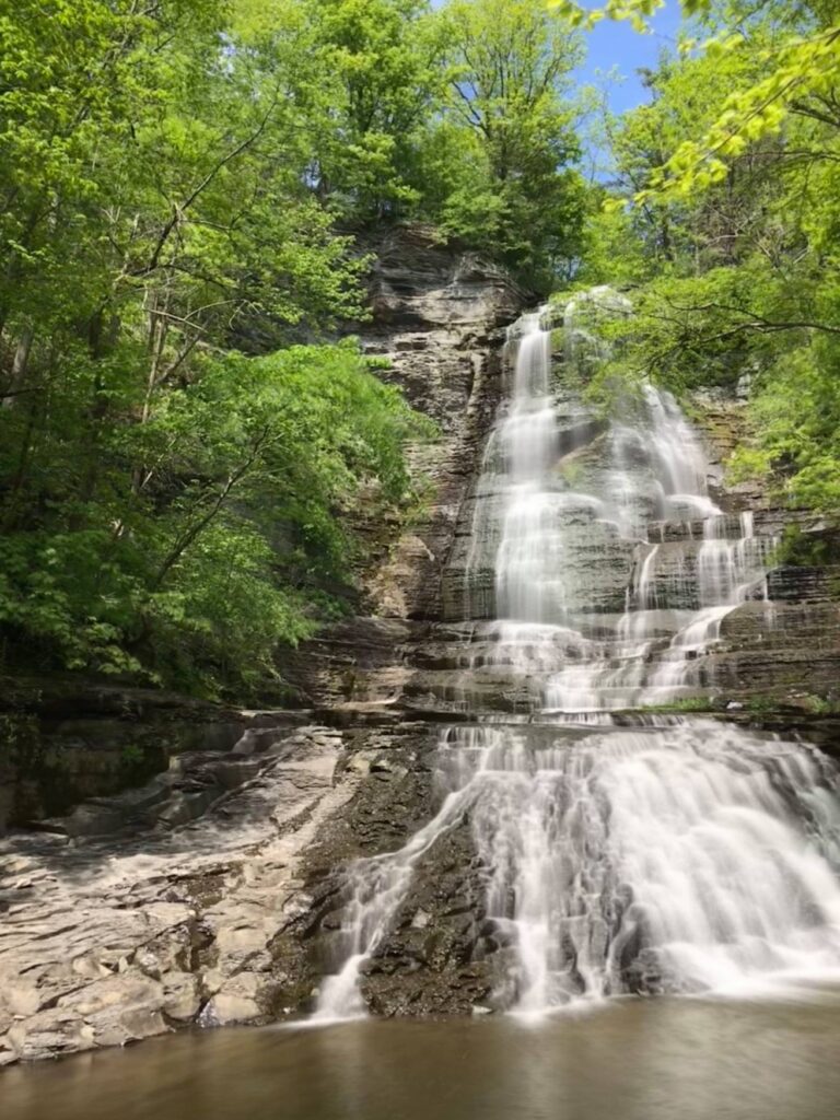
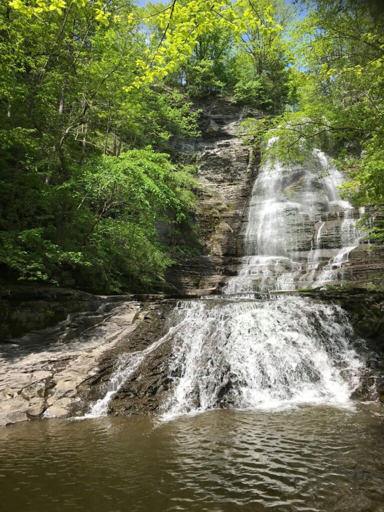
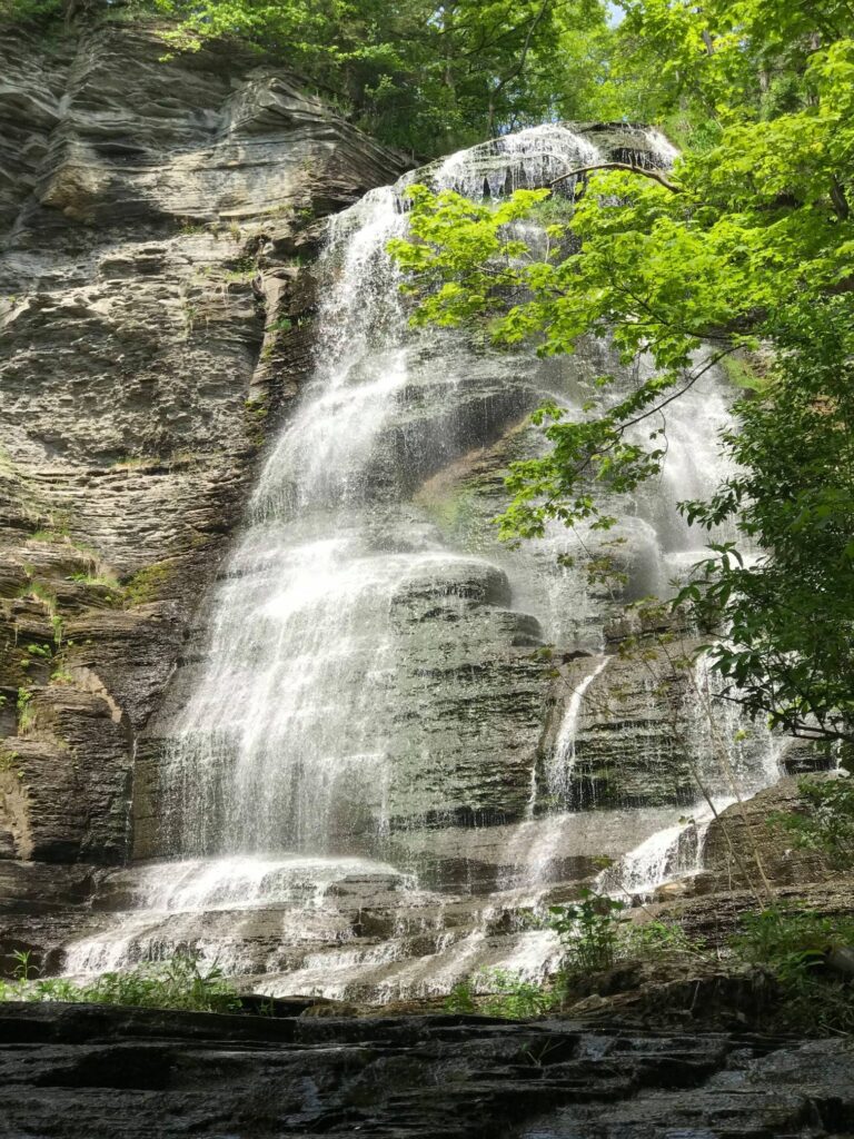
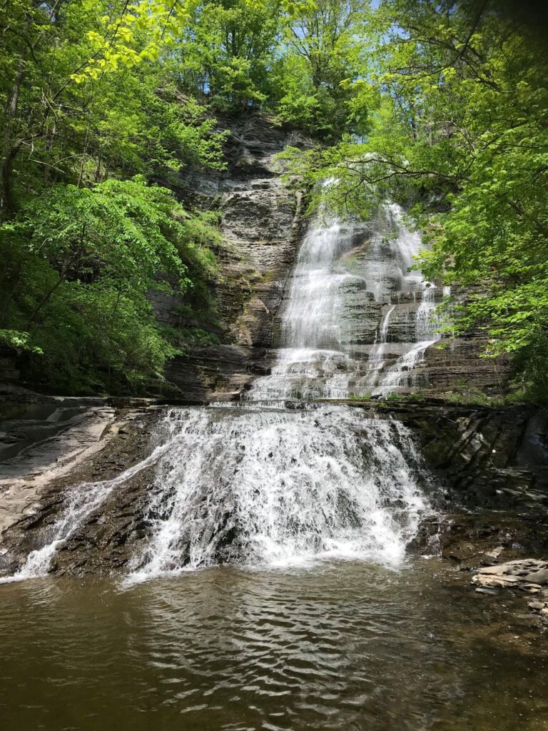
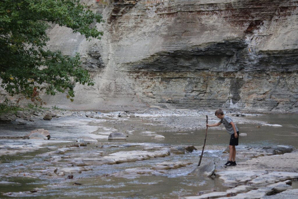
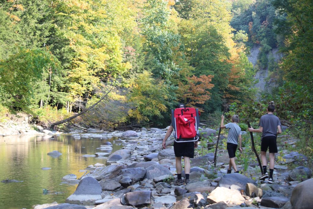
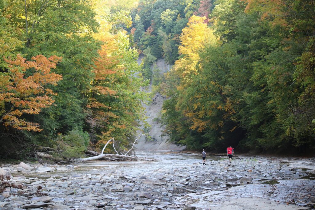
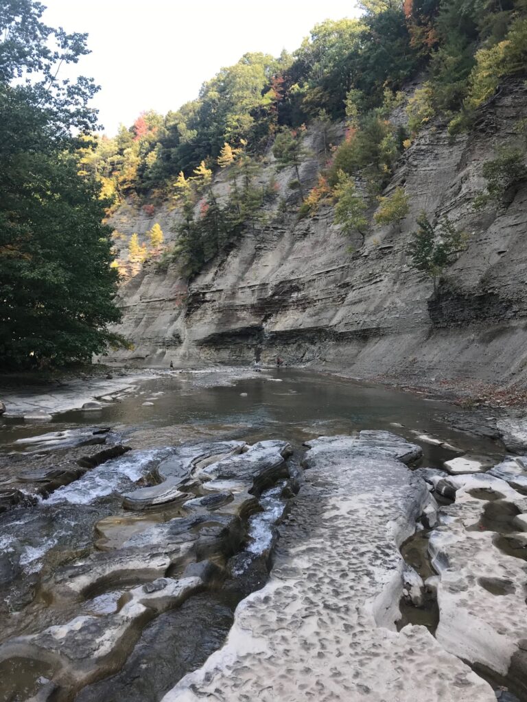
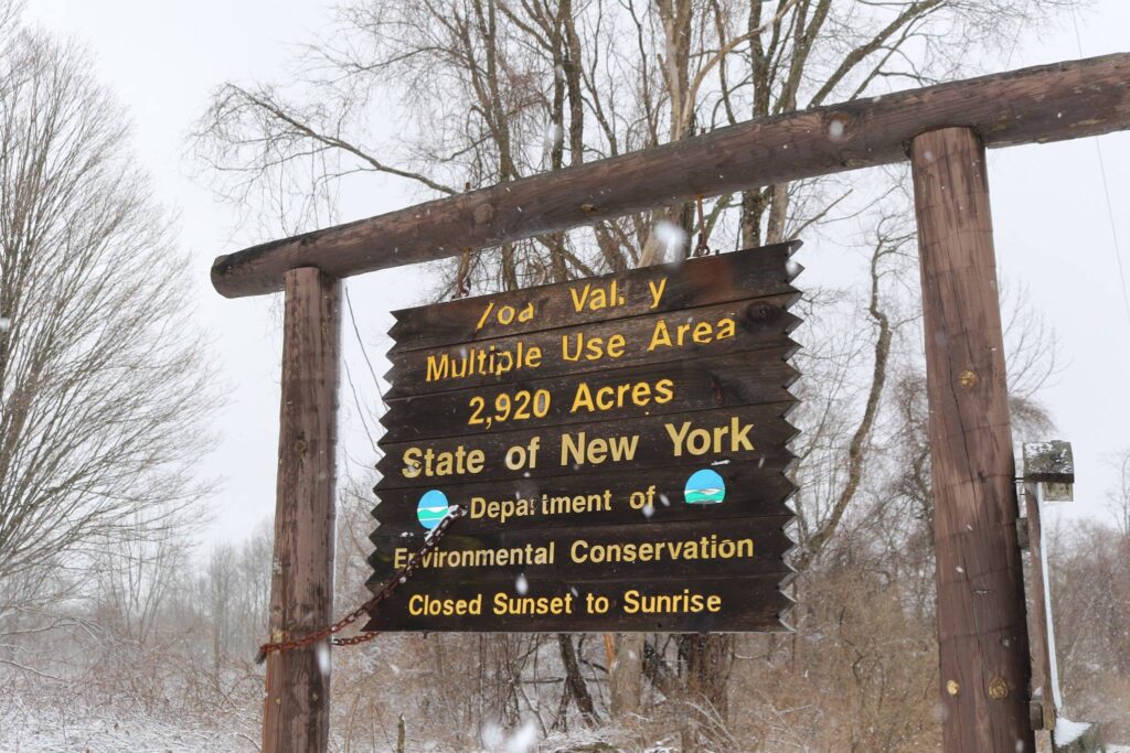
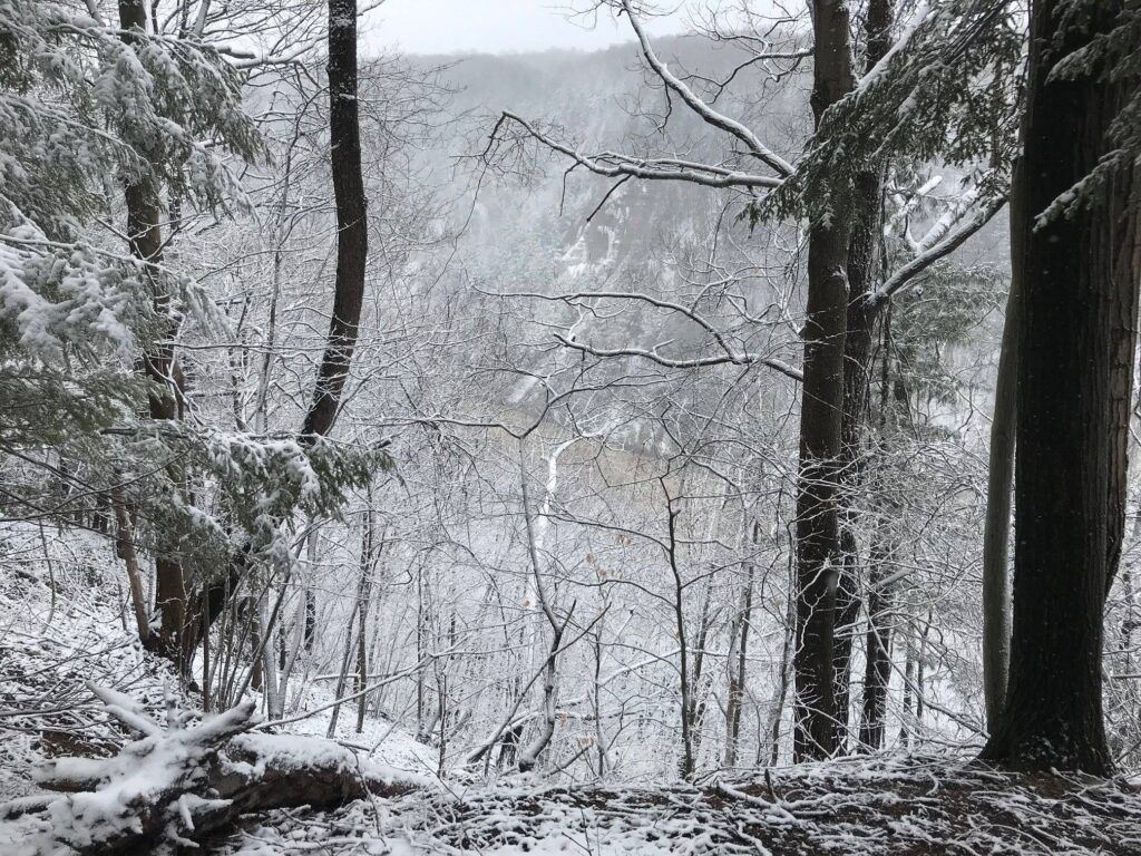
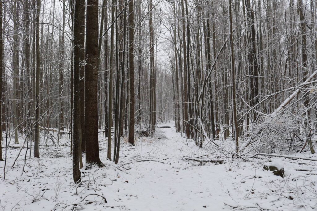
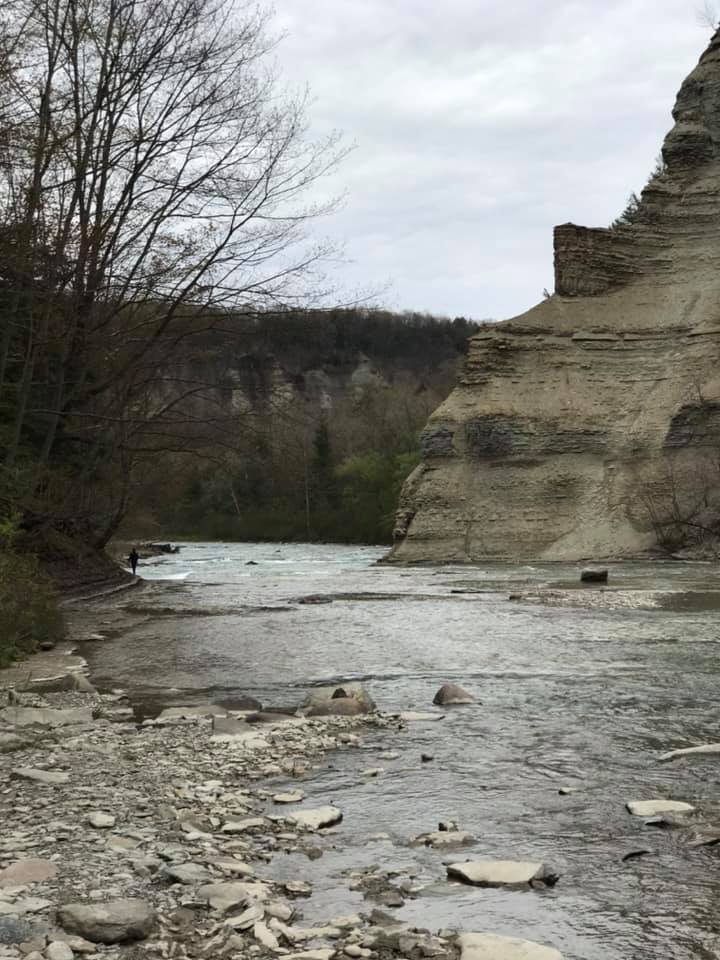
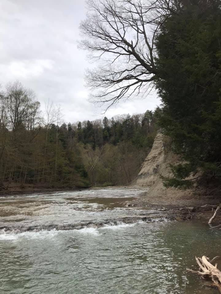
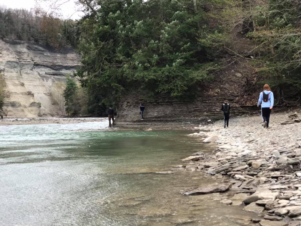
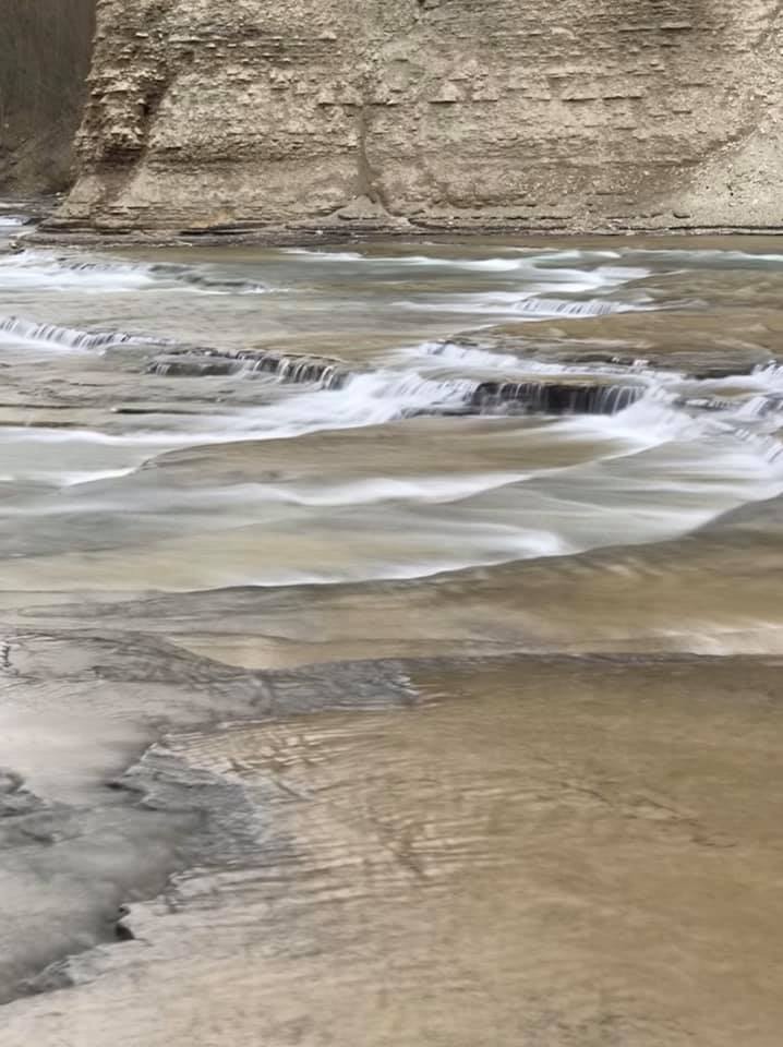
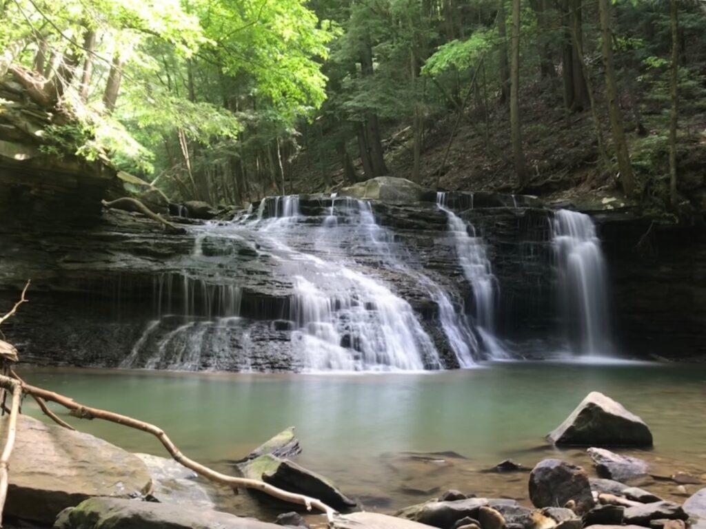
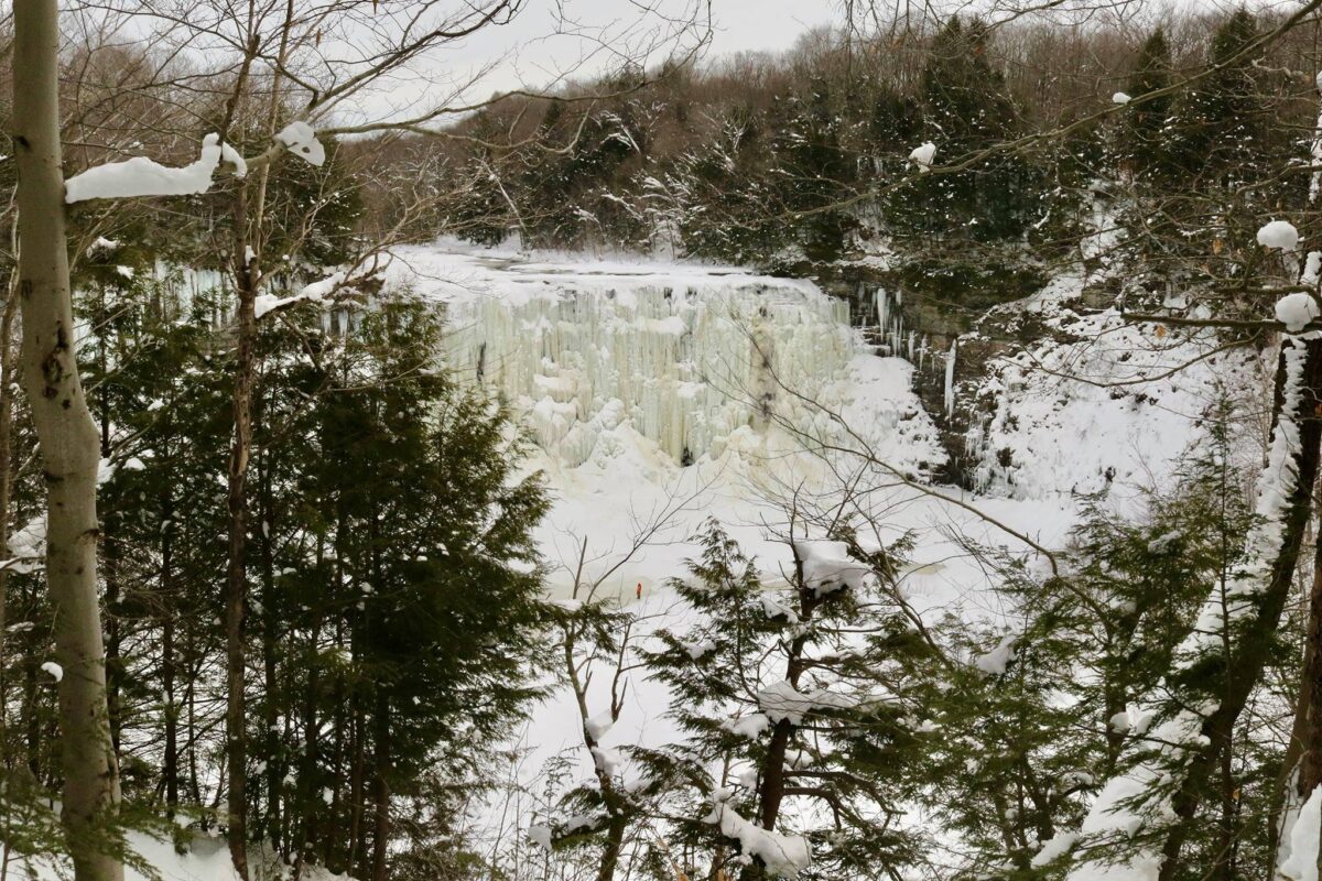
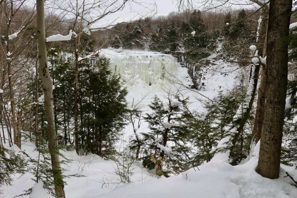
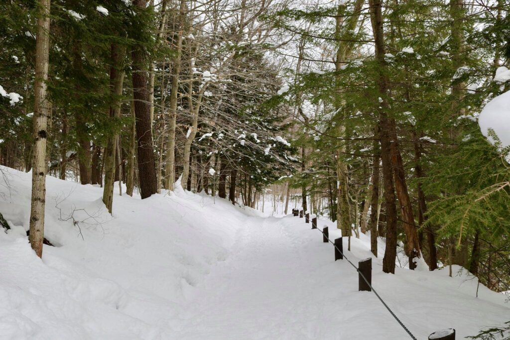
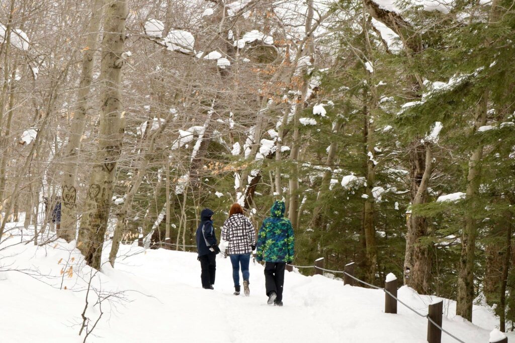
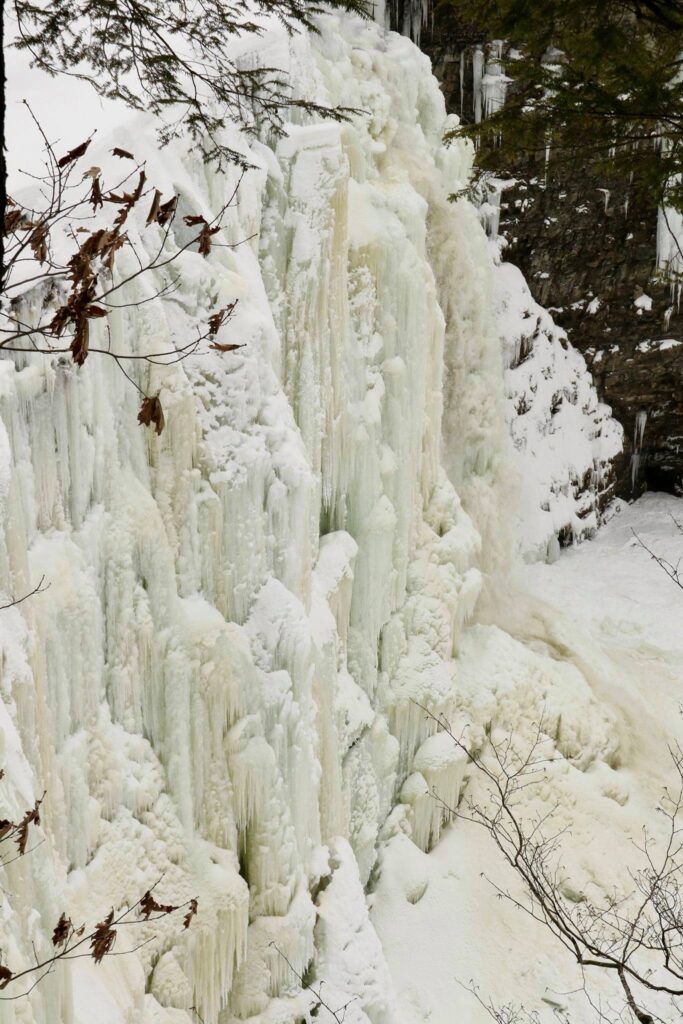
The trail to the first viewing platform was only a quarter of a mile long. There were several interpretive signs, like the one above, to read on the way to view the 110-foot waterfall.

View of Salmon River Falls from the first viewing platform. This is a popular spot for ice climbing. If you look close, you can see a potential climber in orange.

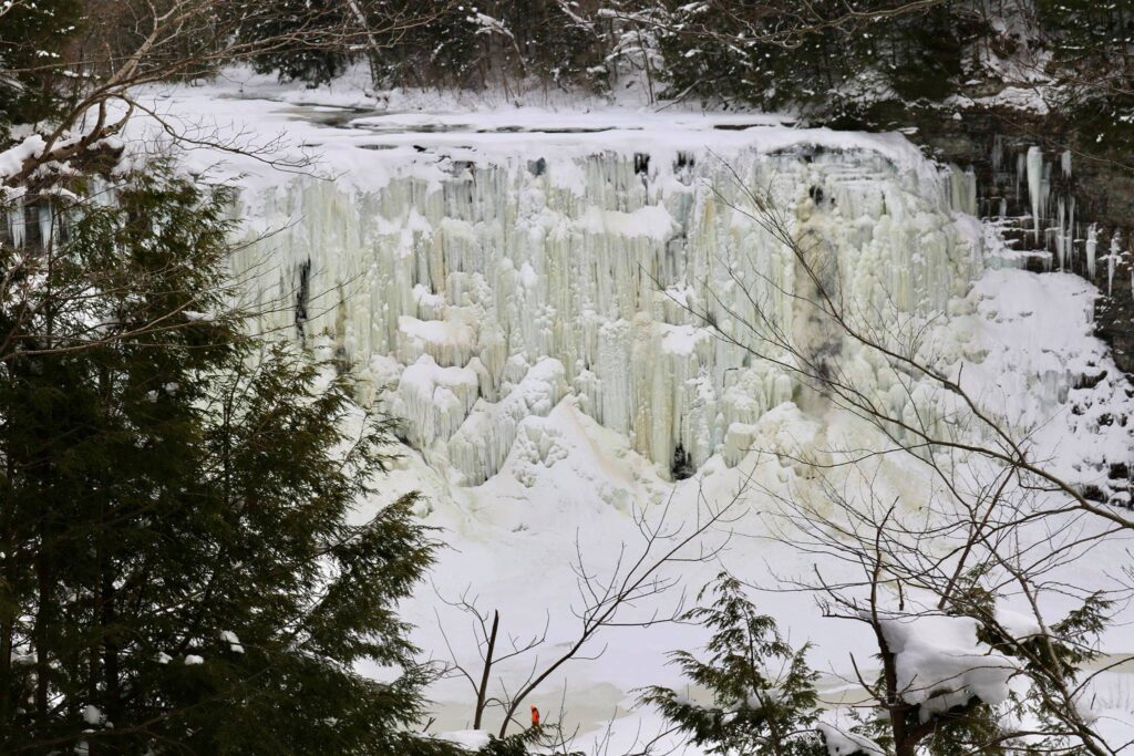
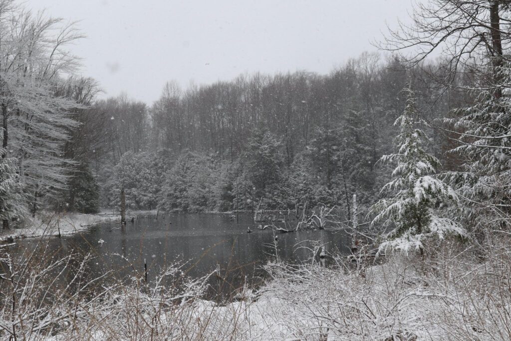
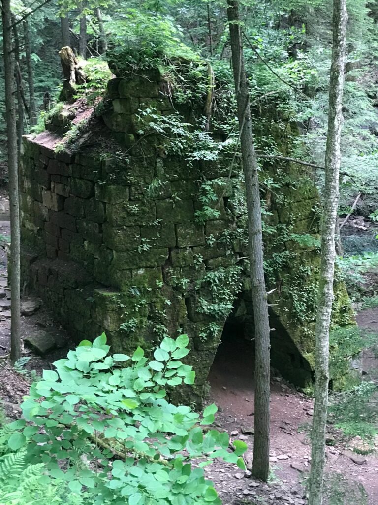
Not knowing much about the area we were visiting, I did a quick internet search for the history of Salmon River Falls. As one would expect, the name is in reference to the large numbers of Atlantic salmon that would travel from the St. Lawerence River to Lake Ontario and then up the Salmon River where they would meet their terminus at the waterfall. This was a very important fishing spot for the Iroquois who lived in the region. In the 1900s, the River was dammed about a mile upstream from the falls for hydroelectric power generation. This caused the waterfall to dry up in the summer months and the area suffered both ecologically and aesthetically. In the 1990s, hearings were held to gather input from all parties and a minimum flow was established to ensure that the falls had a characteristic waterfall appearance year-round.

View of Salmon River Falls from the second viewing platform.

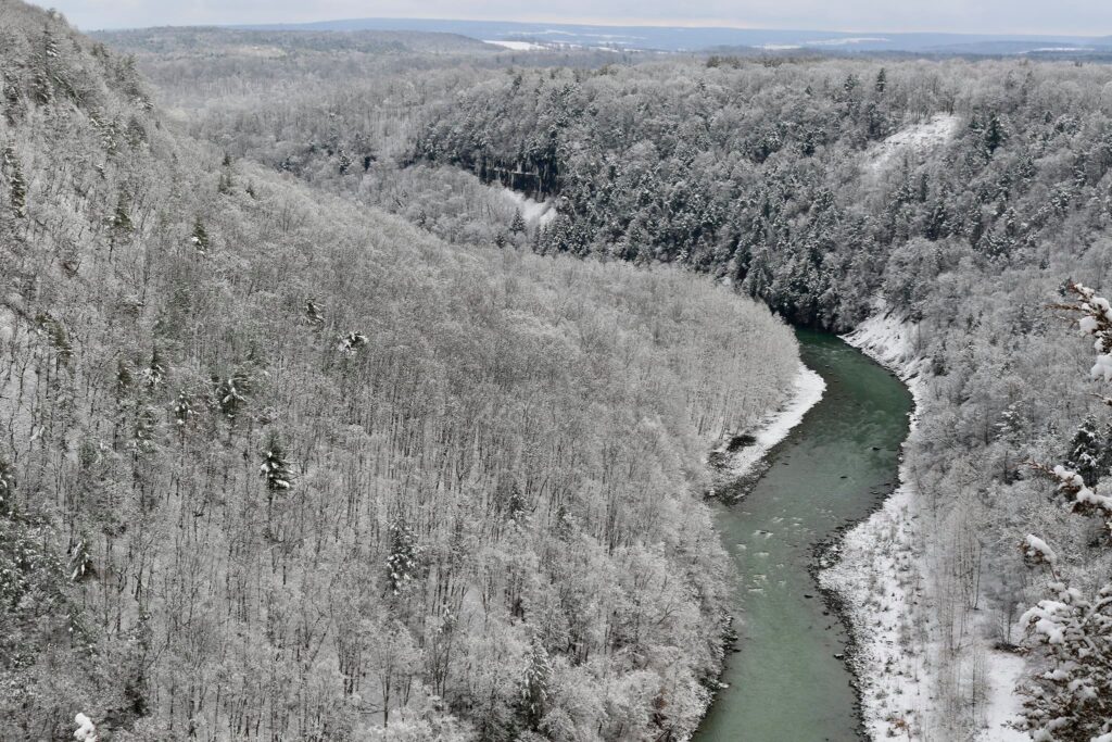
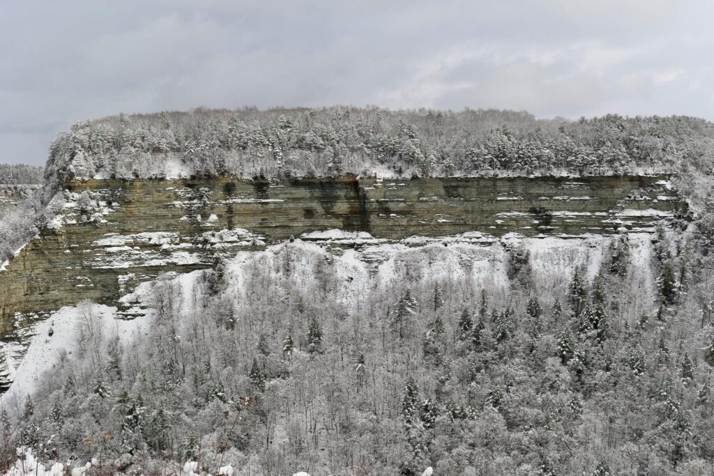
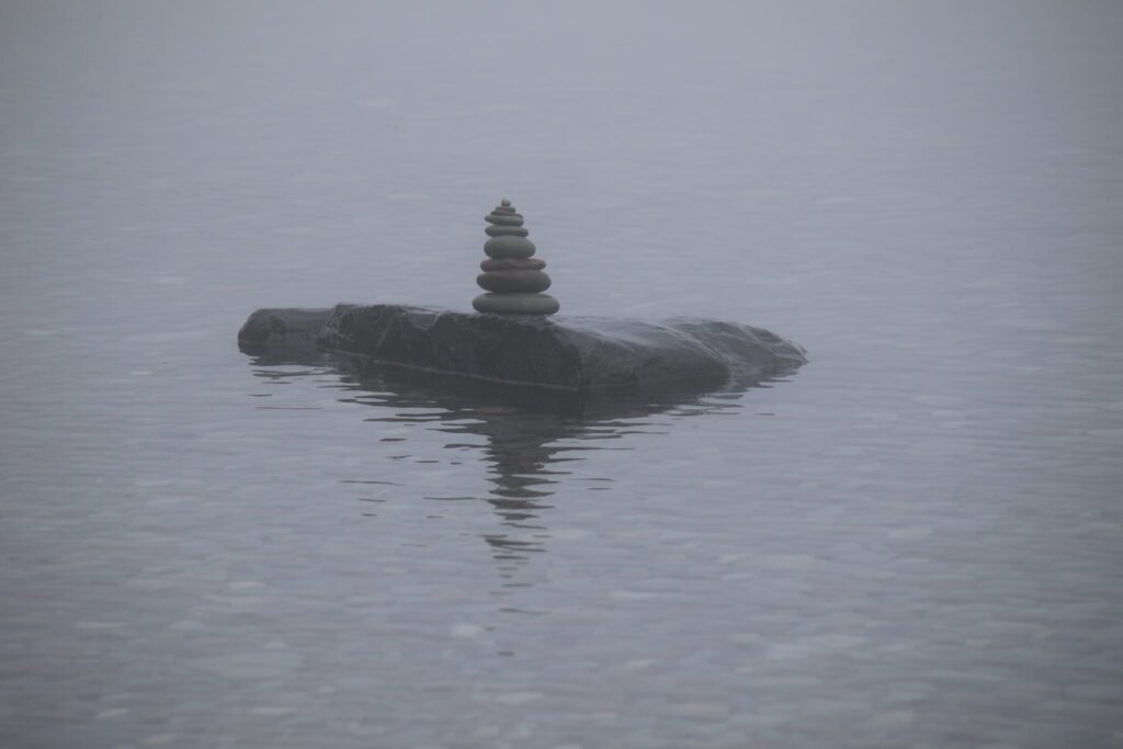
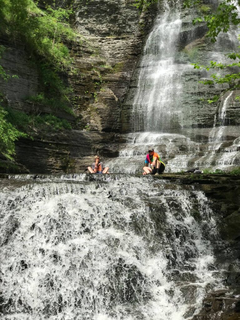
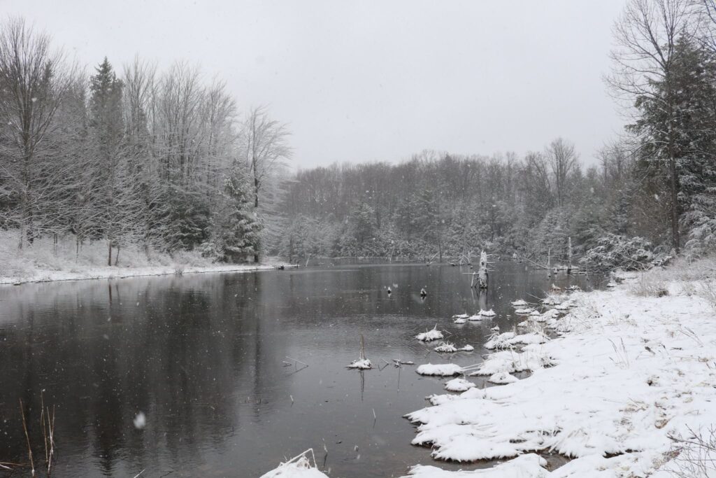
Like so much in life, the lesson behind this natural area is balance. Today, the area is managed by the Department of Environmental Conservation. The Salmon River is an active fishery, the waterfall is a scenic wonder as well as a site for many recreational activities, and the the damming of the river still provides power for the local community. Balance is sometimes elusive but always necessary.

Hike to Hector Falls in the Allegheny National Forest

This small waterfall in the Allegheny National Forest is a fun hike in any season, but we found it to be especially magical in winter! It can be found just outside of Sheffield, PA. Take Rt 6 to Ludlow and drive about 3 miles along decently maintained roads, used mostly for gas interests, to arrive at the small parking area for Hector Falls. It can be accessed year-round; my daughter and I visited in February, on a snowy day, in our Toyota Prius. The GPS coordinates were accurate, but as reinforcement, a large HF was spray-painted on a roadside tree in the parking area.

From the parking area, the trail is wide and clear. It travels through a forested area of mostly Beech and Hemlock trees. The walk is about 1 mile from the parking area to the falls.

The trail descends in elevation until it meets a small stream. This stream eventually meets with a branch of the Tionesta Creek. Once you get to this small stream, turn right. The trail follows the stream for just a short bit before arriving at the top of Hector Falls.

It is neat to peer over the top of the falls, but the better views are from below. Continue your descent around some large boulders and the water fall appears through cracks in the rocks.

Hector Falls from above.

It is easy, in our cold and grey winters, to hide indoors. It is almost too easy to not venture out, to blame a sedentary nature on foul weather or difficult travel. I invite you to change your perspective. By looking at this waterfall through a different lens, so to speak, I was able to capture a beautiful moment in nature and share it with my daughter. I hope to have many more of these moments and I will not take them for granted.

Frozen Hector Falls

This was a hike that we had taken before, in spring. I thought it was a neat waterfall then, but the pictures I have from that earlier trip just do not inspire quite the same awe as it did in February. So again, get out there and change your lens, or you could be missing out on something truly beautiful!

5 hours in Joshua Tree National Park

Joshua Tree National Park is a great day trip from Los Angeles. The park includes many diverse desert ecosystems to check out by driving or hiking.

Joshua Tree National Park is a doable day trip from Los Angeles. The drive is about two and a half hours, depending on traffic. I visited this park in January with my brother. We rolled in around noon, which meant we had just 5 hours before sunset. Here is what we did to make the most of it!

We started our day at the western entrance to the park. Joshua tree has three entrances and we began with the entrance closest to LA, but an argument could be made for driving a little out of the way and starting at the south entrance. There are three distinct ecosystems in Joshua Tree, the Mojave Desert, the Colorado Desert, and the Pinyon Pine and Juniper of the Little San Bernardino Mountains. These ecosystems vary due to their differences in elevation. We travelled from west to east, only going as far south as the Cholla cactus gardens. This allowed us to see a bit of all three regions, but another interesting way to explore the park would be to start in the south and work your way west through all three ecosystems. This would offer one the opportunity to see more of the Colorado Desert along with the Cottonwood visitor center and the Lost Oasis.

Exploring the Mojave Desert

The first area we arrived at was comprised of the plants of the Mojave desert ecosystem, including the namesake Joshua Trees! These trees are only found in the northern areas of the park, but as you can see, they are plentiful.

Joshua Trees in the Mojave Desert

Hiking the Hidden Valley trail

Our next stop was the Hidden Valley picnic area. Here we hiked the 1-mile loop trail around large rock formations. This is a popular area for rock climbers. There was snow on the ground here and there, but I was comfortable in shorts with a jacket.

The View from Keys View

For our next stop, we left the main Park Boulevard and headed southwest. We also moved up in elevation. It is the change in elevation that contributes to the variety of ecosystems here. At these higher elevations, the dominant vegetation changes to the Pinyon Pines and Junipers of the Little San Bernardino Mountains.

The view of the Little San Bernardino Mountains from Keys Point.
There were still a lot of Joshua trees en route to Keys View.

Wandering around the Hall of Horrors

After we returned to the main Park Boulevard from Keys View, we passed Cap Rock. This is a very popular spot in the park, partly because of the mythic association it has with the death of Gram Parsons. We didn’t stop here in favor of a less popular pull off called the Hall of Horrors. It was not, as the name implied, horrible but it did have some interesting rock formations.

Skull Rock

We made a quick stop to stare into the eye sockets of skull rock and ponder what was in its head.

Skull rock

Searching for Arch Rock

The sun started sinking lower in the sky and there were still things I wanted to see! One of them was Arch Rock. Normally accessible from the White Tank campground, this parking area was closed when we visited. We parked up the road and after wandering the landscape a bit, found a trail that took us across the road and to Arch Rock. It was a very cool place to check out as the sun was setting.

This unusual rock formation is called a dike. It is a rock with an intrusion of more erosion resistant rock within it.
Arch Rock
Rocks sculpted by weathering

Cholla Cactus Garden

One last stop! We made it to the Cholla Cactus Garden before the sunset and this stop did not disappoint. The cacti were flowering, the sky was lit up in peach and pinks, and we had the time to wander and enjoy this unique area in the third and final ecosystem of the park, the Colorado Desert.

We checked off all 3 ecosystems on our day in the park. As E. O. Wilson said, “Biodiversity is the totality of all inherited variation in the life forms of Earth, of which we are one species. We study and save it to our great benefit. We ignore and degrade it to our great peril.” We are not apart from but a part of this environment. It was a beautiful ending to a day spent reflecting on that.

Subscribe

* indicates required


Letchworth State Park

Best State Park 2015 in the USA Today 10Best State Park Readers’ Choice Awards! That is pretty high praise. I am fortunate that this park in Castile, New York is less than a two hour drive from my home, so I have visited it more times than I can remember. It is gorgeous in any season, but a recent winter trip was absolutely magical.

The southernmost entrance was closed, so we entered the park on the western side at the Castile entrance. Once in we took the park road heading south and made our first stop at Archery Field Overlook. This overlook had nice views of the gorge and the Genesee River.

The next stop along the Park Road was Inspiration Point. Here you can see both the middle and upper falls in the distance. The snow-covered trees made me think we were in Narnia and the kids broke into a spontaneous snowball fight while I took photos of the gorge.

The view from Inspiration Point

I have been reflecting a lot on perseverance lately. There is no doubt that the water flowing over the falls is powerful, but from this vantage point, it is clear that it is not just the power of the water but the perseverance that has carved through this gorge over the years. It was a beautiful sight and a beautiful reminder of what continually moving forward does for us over time.

Once home again, I was eager to compare my photos of this trip with photos of the falls at other times of the year. It is no wonder that this is an award winning park, the scenery is delightful any time of year.

After Inspiration Point, the next stop was the main parking area of Middle Falls. In the summer, there are lot’s of people here, but on this winter’s day, we were almost all alone.

Top of Middle Falls

The upper falls view point is just a short walk along the Genesee River from middle falls.

Upper Falls

What a study in contrasts! There is a third waterfall, lower falls. It was not accessible on our last two trips, but hopefully the trail will be open again soon. More information can be found on the NYS parks website.

Lower Falls

If you are traveling across Western New York, I hope you get the chance to stop at Letchworth State Park. It is picnic perfect in any season.

Waterfalls of Watkins Glen and Montour Falls

You have probably heard of or even been to Watkins Glen State Park. It was listed as the 3rd best state park in the United States in a 2015 USA Today poll. It IS a beautiful place to visit, but give yourself a couple of extra hours when in the area to check out some of these lesser-known waterfalls.

Hector Falls

This waterfall, just north of Watkin’s Glen, can be seen from your car as you drive along Rte 414. There are a few parking spots as well for you to get out of the car and admire the falls here.

The Falls of Excelsior Glen

This gorge, also just north of Watkin’s Glen, is easy to miss. There is room for one car to park on the grassy shoulder of the northbound side of Route 414 where it crosses the creek, but it is also just a short walk from the parking area at Clute Park. From this parking area, walk north until you get to the creek at the coordinates here.

Excelsior Glen is located along a stretch of the Finger Lakes trail/North Country Trail system. One could combine these waterfalls as part of a longer day hike. There are 5 cascades in the glen, but we only visited the first two. It was a cool November day, not ideal for creek walking. The first two waterfalls however, can be seen with only a short walk that didn’t require getting wet.

The second fall we encountered was so smooth! It was very relaxing just to sit near it for a bit before heading back to the car.

Aunt Sarah’s Falls

Just south of Watkins Glen is the village of Montour Falls. The next fall was another roadside stop along Route 14. Parking is on the left if you are heading south from Watkins Glen and the waterfall is on the right.

Shequaga Falls

Continuing south and veering to the right onto N. Genesee Street, is the village’s namesake falls, also called Chequaga or Shequaga Falls. There is plenty of on-street parking nearby the little Shequaga Falls Park. The park was decorated for Christmas with the waterfall as the centerpiece at the back.

The holiday decorations and the pretty waterfall made this my second favorite stop of the day. The best was still yet to come!

Deckertown Falls

Moving east, the next waterfall was found at the end of a residential street. There was parking and public access but it skirted private land, so if visiting, please be respectful of the neighbors. After a short walk along Catlin Mill Creek, the waterfall comes into view.

Havana Glen Park and Eagle’s Cliff Falls

The last waterfall we stopped at was my favorite. It was not as tall as Shequaga nor did it have as much water flowing over it as Hector, but it did have a serene setting and a nice walk to get to it. The park itself was closed for the season, but there was a playground and picnic areas and a restroom to make this a great summer destination for a nominal fee. It was just a short drive south from Deckertown Falls and not far from Route 14 if you were making this your first stop and viewing the waterfalls in reverse. There was lot’s of parking here.

The short walk to the falls first took you across the lawn of the picnic area, then it began to follow the creek, complete with the riffles seen in the photo above.

The path was a sturdy mix of wooden boardwalks, metal stairs, and stone steps.

I think this was my favorite fall of the day because of how lovely and secluded the short walk to it was. It was such a peaceful setting and we enjoyed it all to ourselves for awhile.

Chimney Bluffs State Park

This small New York State Park in Wolcott could be easily overlooked. Depending on when and where you go, one could potentially think they have seen it all in an hour, but I want to persuade you to spend a whole day here. Like with people, first impressions aren’t always accurate. This park might seem like it is just a pretty picnic spot on the edges of Lake Ontario but look deeper with me as I show you the many facets of this park that are revealed as the sun’s position changes across the sky.

There are two entrances to the park. The main entrance featured in the first photo is located off Gardener Road. The image above is at lake level from a lesser-used entrance with its own small parking lot off of East Bay Rd. If you can, arrive at this parking area with the rising sun and you will be treated to an otherworldly landscape. On the morning I first explored this park, the shore was shrouded with fog as I began my walk along the lake.

The shoreline is just steps from the small parking area off East Bay Road. To the right, when facing the lake, is private property but by turning left one can enter the park and walk its mile-long stretch of shore.

A first look at the bluffs through the fog.

The most notable features of Chimney Bluffs State Park are the large drumlins along the water. This drumlin field contains large spires made from gravel, sand, and clay deposited after the last glaciers retreated.

I was alone with the water and the wildlife as I walked along the shore. It was very peaceful. Before long many of the drumlins came into view through the fog.

I walked along for almost a mile before the number of fallen trees influenced my decision to turn around before I reached the opposite park boundary. It was very clear that the shoreline is always changing and eroding. Returning to this spot in another year might yield a very different scene. So I enjoyed this moment of Lake Ontario shore as I made my way back the way I came while the sun slowly burned off the fog.

After my solitary walk, it was time to get my family up so they could see it too. We started at the main entrance off Gardener Road. Here there was a nice overlook of the lake and some trails through the woods. There were also restrooms. The Bluff trail with views of the chimney bluffs has been closed in recent years due to erosion and its impact on safety. So after exploring here awhile we left to access the shoreline from the other parking area off of East Bay Road.

Back along the shore, we enjoyed a picnic lunch and strolls along the water’s edge.

The chimney bluffs were much less ominous in full sunlight. It was a gorgeous May day with a bright blue sky and wispy clouds. The shore was a peaceful place to sit and read a book. The rocks were smooth and varied in color. They were perfect for building or skipping or collecting. We stayed all day.

I promised to show you all facets of this park’s personality and the grand finale is definitely revealed at sunset. I know there are plenty of great places to catch a Lake Ontario sunset but this was the perfect icing on a perfect day. I hope you are able to take the time to enjoy this park as throughly as we did.

Emilie Jonas Waterfall

I just received my signed copy of the book Waterfalls of Pennsylvania by Jim Cheney. It is a beautiful compilation of his travels to more than 180 waterfalls in his home state. If you love chasing waterfalls and are traveling through Pennsylvania, I highly recommend you pick up this book. Not only does it have beautiful pictures, but it also contains GPS coordinates, relative websites, waterfall stats, trail distances, and other relavent tips in a consistent and concise manner. You can find a link to purchase this book and follow Jim on his adventures through his popular travel blog and website Uncovering PA.

So after looking over his book and reflecting on my own experiences chasing waterfalls, I decided to write about a beautiful fall I visited this past summer in Lansing, New York. Lansing is located on the southeastern side of Cayuga Lake in the Finger Lakes region of New York State, not far from Ithaca. There is a very small parking area found off of Route 34, here. Though the trail and base of the waterfall are open to the public, it does pass through private land so be respectful of the landowners and their neighbors.

After a very short distance, a welcome kiosk highlights the trail ahead and gives some history surrounding the waterfall’s namesake. If you turn right from the welcome post you can view the waterfall from above and not have to attempt the steep descent to creek level.

View of Emilie Jonas waterfall from above.

Turning left from the welcome kiosk takes you down a steep and very narrow footpath, first turning away from the falls and then reaching Gulf Creek before winding back up toward the falls. After a very short walk, the waterfall appears in front of you and it is spectacular!

We enjoyed relaxing briefly at the base of the falls before heading back up. I have always enjoyed the feeling of being near moving water whether it be the ocean, a great lake, or a moving stream. There is research that the negative ions given off at sources of colliding water can reduce the symptoms of depression in some people. Perhaps that is true, so I will continue to chase waterfalls, not for risk, but for the calming presence that they bring.

Zoar Valley

This is a gem just under an hour away from my home. Zoar Valley is part of a 3000-acre multiple use area managed by the NYS Department of Environmental Conservation. It is known for its deep gorge formed by the Cattaraugus Creek as it flows into Gowanda and eventually, Lake Erie.

In this post, I will share with you our visits to three different points in Zoar Valley over three different seasons. This past October, we took advantage of an 80-degree day to hike the South Branch of the Cattaraugus Creek to where it meets the main stream. To access this hike, park at the Forty Road Parking area. You will walk in the creek bed itself, so prepare to get wet, but that is half the fun!

The access to the creek from the Forty Road parking lot is easy and as long as water levels aren’t too high, this is the safest route because you enter at creek level and can view the sweeping gorge walls safely from below.

I LOVE the grooved paths years of water have carved through the gorge. I think I see some of those scars in me…….wait, those aren’t my words. They actually are in the song Zoar Valley by the local band Uncle Ben’s Remedy. You should probably check them out.

The colors will fade and winter will return, but Zoar Valley is beautiful in winter too. We explored the northernmost point from the Ross parking area, last winter. There is no access into the gorge from here, but you can glimpse the Cattaraugus below at one point along the trail. This is a nice walk through Beech and Hemlock forest that wraps around a small pond as well.

Cattaraugus Creek through the trees.

This was a late-season hike with that pretty stick-to-the-branches snow, but it was still quite cold. At one point, our middle child told us he could not possibly go on due to his cold, wet feet. I looked down to see him wearing sneakers, not the boots that were suggested. Dramatics commenced, tears ensued, I am hopeful that he learned a lesson about preparedness. This memory brings a smile to my face either way, even though I am sure I didn’t find it funny at the time. I do remember trying to focus (both him and me) on the beauty of the woods around us.

Winter melts into spring, both literally and metaphorically. Nothing is certain, except the certainty that things change. Even when experiencing life at its worst, I try to remember and reflect upon impermanence. The winter ends and spring returns. Every. Single. Time.

We visited in the spring, just as our world was turning green again, it was Mother’s Day.

We parked at the end of Valentine Flats Road. After a short walk, the trail forks. Turning left takes you to the view pictured above. It is very steep and would be dangerous to take young children this way, but if you are careful and stay on the trail, it gives you a nice view looking up the gorge. The better trail, in my opinion, is to the right and after a short distance, you are at creek level. If you stay to the right until the end, the path will take you to the point once again where the south branch meets the main creek. We enjoyed all the signs of spring along the way.

There is always something to celebrate.

So whatever season you are in, find a place to enjoy and celebrate what brings you joy. That is what I intend to do, and I hope I can help you find the right place to do the same.

Allegheny River Trail

The favorite family bike path this summer was the Allegheny River Trail, traveling both north and south from Kennerdell, PA. We actually did sections of this trail over two days, but this is a great day trip for anyone living in the area or for whoever may just be passing through. The kids especially loved the tunnels which were long enough to require the use of headlamps while traveling through them.

View of the Allegheny River, which the bike path follows, from the Kennerdell Overlook.

In June of 2020, we rented a house for a couple of nights in Kennerdell, right on the river. This gave us the opportunity to do a little kayaking as well!

Mid-day view of the Allegheny RIver
Sunrise view of the Allegheny River
Sunset view of the Allegheny River

For our first day of biking, we headed north. Our starting point was very close to the southern entrance of the Kennerdell Tunnel off of a private road. This tunnel is 3350 feet in length. It was pathed throughout and had reflectors to mark the center. Due to its length and curve at the end, you can not see from one end to the other making the headlamps not only fun but necessary!

For more information on the trails including parking, facilities, and maps, consult the Allegheny Valley Trails Associations website.

We traveled about ten miles on the trail. It was paved the entire way except for a roughly 1-mile section of the shared-use gravel Kent Road. The views of the river from the path were beautiful, here and there were also benches or picnic tables to rest and enjoy it. At one point we stopped to watch a Bald Eagle fishing across the river.

We turned around at the Sandy Creek trailhead junction. There were nice views of the bridge over the Allegheny. This looked like another great path to come back and ride sometime!

View of the Sandy Creek trail above us.

The next day we headed south on the Allegheny River Trail. This time our goal was a stop at Freedom Falls and the Rockland Tunnel about 10 miles down the path. We enjoyed more beautiful views of the river.

We parked our bikes at the Rockland Station Road trailhead. The tunnel was in view from here but we took to the road and walked a half-mile up to see Freedom Falls and the Rockland Furnace. We sat and ate our packed lunch in front of the falls. What a fantastic spot! Other than a few people camping up on the hill, we had the whole place to ourselves.

Freedom Falls

After resting by the falls we explored the ruins of the Rockland Furnace. This furnace was in operation from 1832 until 1854 for the production of iron. It was in pretty good shape considering that it hasn’t been used in 160+ years! It is all that remains of the town of Freedom that once stood here. Interesting to think that this area was once probably treeless and that trees have again overtaken the land. After we were done exploring it was time to travel our second tunnel. The Rockland tunnel is 2868 feet long but still long enough to not see the other end! We traveled through it and back again as we headed back to the house for a relaxing dinner and a family game to end our weekend get away.

Entrance to the Rockland Tunnel.
Another look at the Kennerdell tunnel from the inside!

Oil Creek State Park

Another great biking adventure!

I don’t remember how I stumbled upon this bike trail, but I know that I had not heard of it before 2020, and I liked it so much that we visited it 3 times this summer! We parked at the Jersey Bridge parking area just south of Titusville, PA. This is also within walking distance of Drake Well and Museum, which celebrates the inception of the petroleum industry. Pairing a trip to the museum with a ride on the trail would make for a nice day, but unfortunately, it was closed throughout 2020 due to the Covid-19 pandemic.

We rode this trail, the entire distance of the park, as a family of five twice. It is 20 miles round trip, but the relatively flat grade made this doable for everyone, including the youngest, at age ten. The third trip here we were joined by my parents who, still very active in their 70’s also enjoyed the trail.

The trail is very secluded. Once you leave the parking area, there are no roads or road noise!

The path follows Oil Creek, crossing it twice on the way to an area of the park called Petroleum Center. This part of the state park had a restroom, picnic areas, a seasonal train station, and a very cool interpretive boardwalk with photographs of what the town of Petroleum Center looked like during the Pennsylvania oil rush of the mid 19th century.

Oil Creek, near the south end of the state park, with remnants of Pennsylvania’s oil boom in the background.

This was a great ride, in a beautiful place. It was also a powerful reminder of how humans can both destroy and restore the world that they live in. I enjoy learning the history, but hope to live my life as one of the restorers.

Verified by MonsterInsights