Yosemite National Park

Lower Yosemite Falls

I have been to half of the national parks in the United States. From that list, I think Yosemite is my favorite, though that changes depending on what I am currently reflecting on! For 6 days and 5 nights in July of 2019, my family and I explored as much of this park as we could. Today I will share my favorite experiences from that trip with you, I hope that you have the chance to see it yourself someday and form your own impressions and memories.

Tioga Pass-Day 1

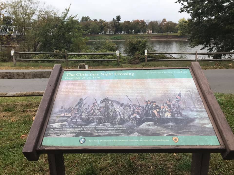
Yosemite National Park was the final destination on a longer trip through Northern California. We drove through the Sierra Nevadas once in order to make a stop at Lake Tahoe so to cross back over the mountains and arrive in Yosemite Valley, we entered the park for the first time at its eastern most entrance.

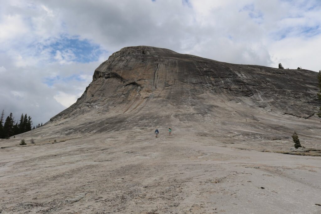
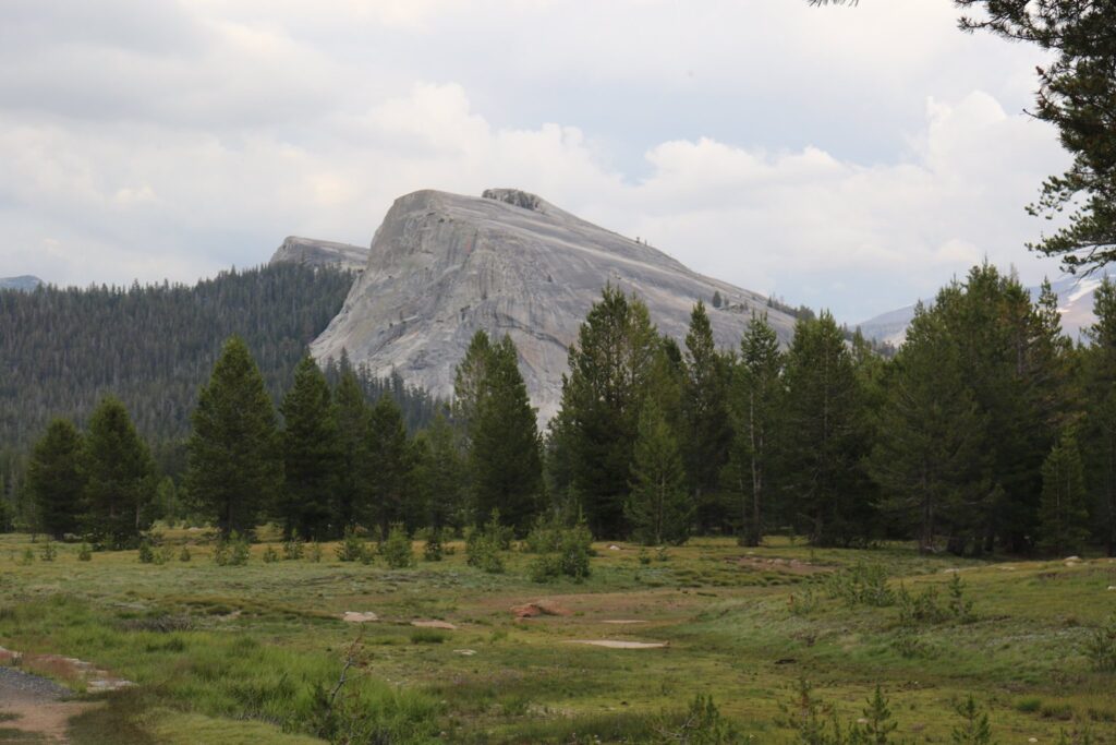
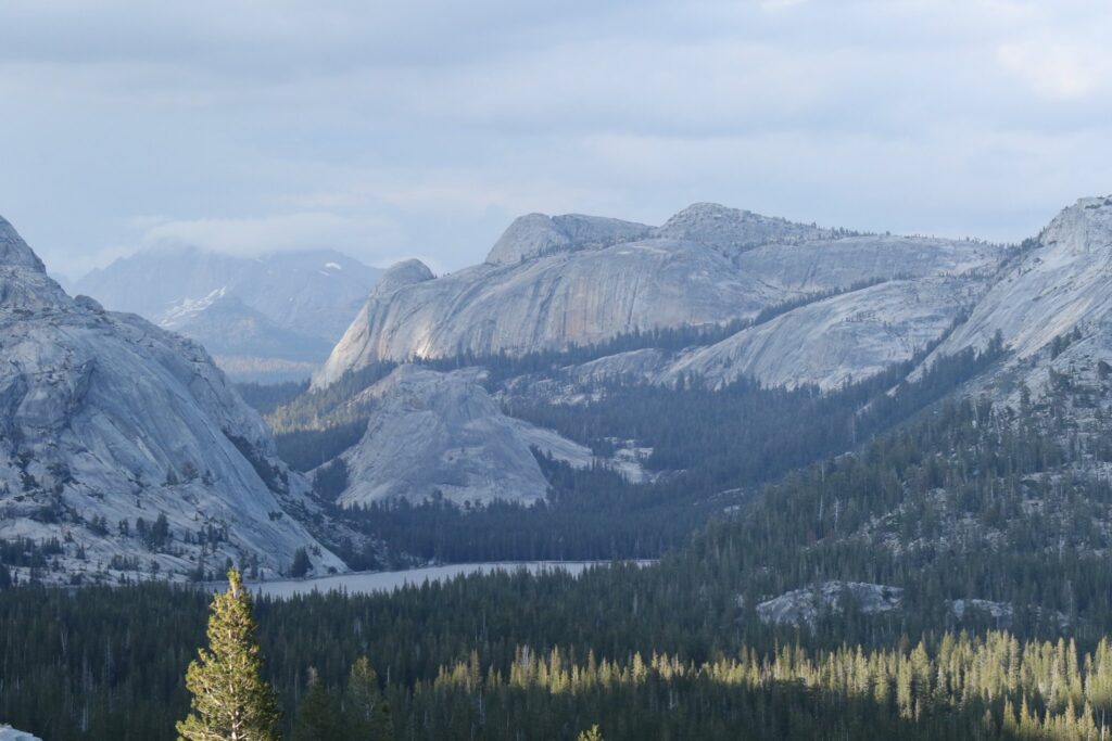
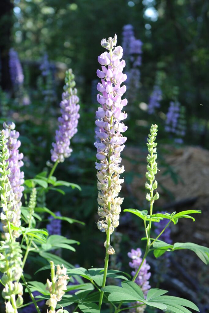
Our first introduction to Yosemite was the Tioga Pass and Tuolumne Meadows. One of my favorite memories is our first stop at Lembert dome. The area was nearly deserted, this was a pleasant surprise. I knew there would be crowds in the valley, I wasn’t sure what to expect in other areas of the park. On every national park trip I have taken, I have found a place all to myself to quietly enjoy. Lembert Dome did not disappoint. The kids stretched their legs, after being cooped up during the drive, by running up and down the dome. I sat and enjoyed the view.

View of Lembert Dome from the trail through Tuolumne Meadows.

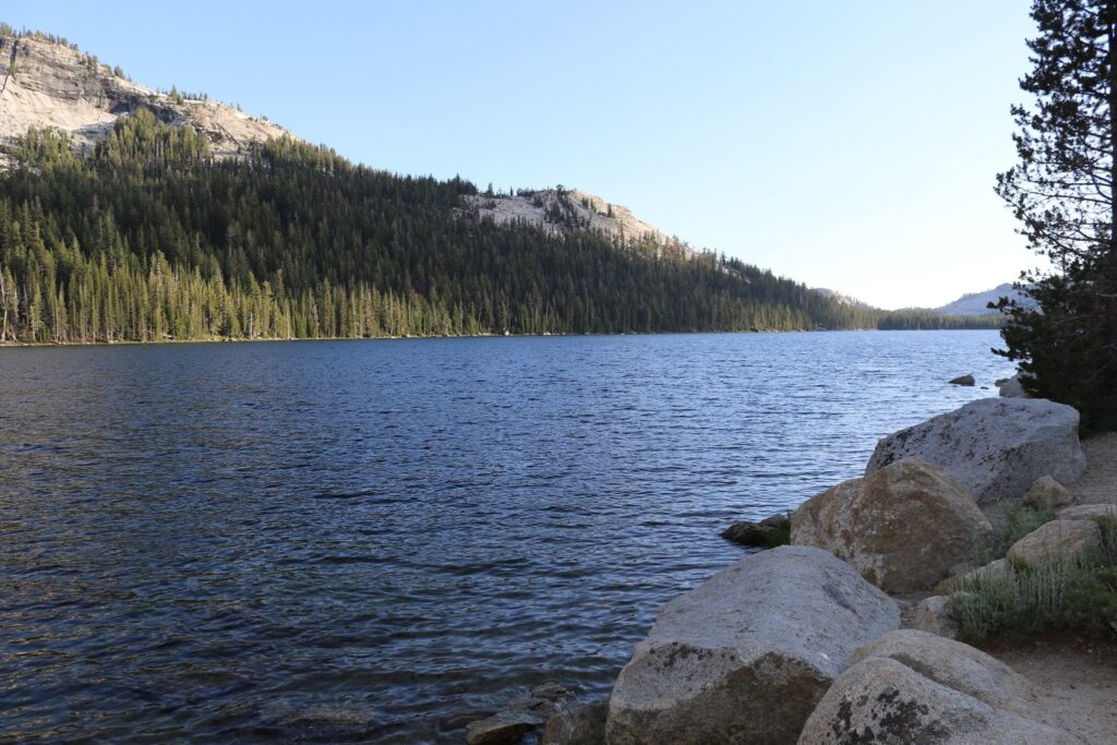
The next stop along Tioga Road was Tenaya Lake. I would have loved to hike the 2.5 mile trail around the lake but we were racing the sun and wanted to save some daylight for our arrival in the valley.

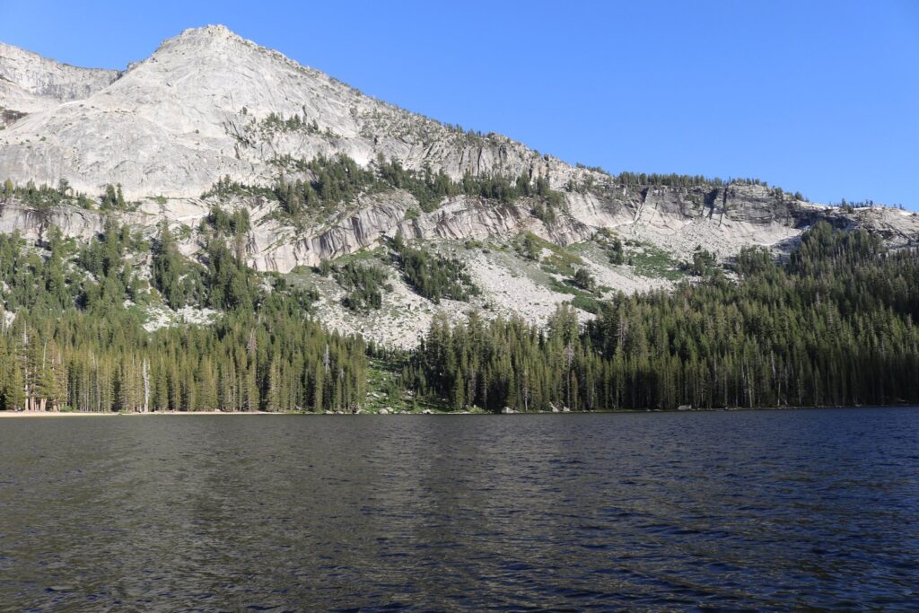
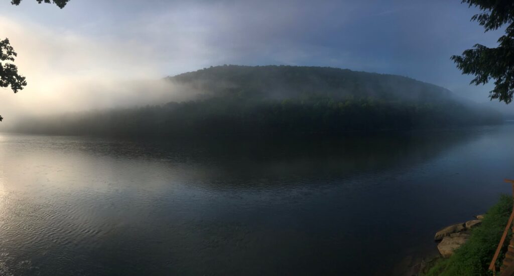
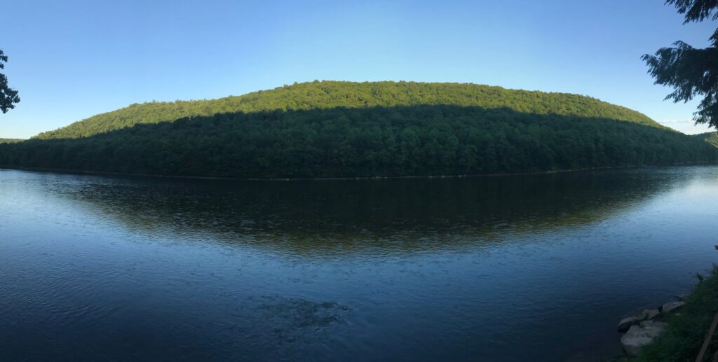
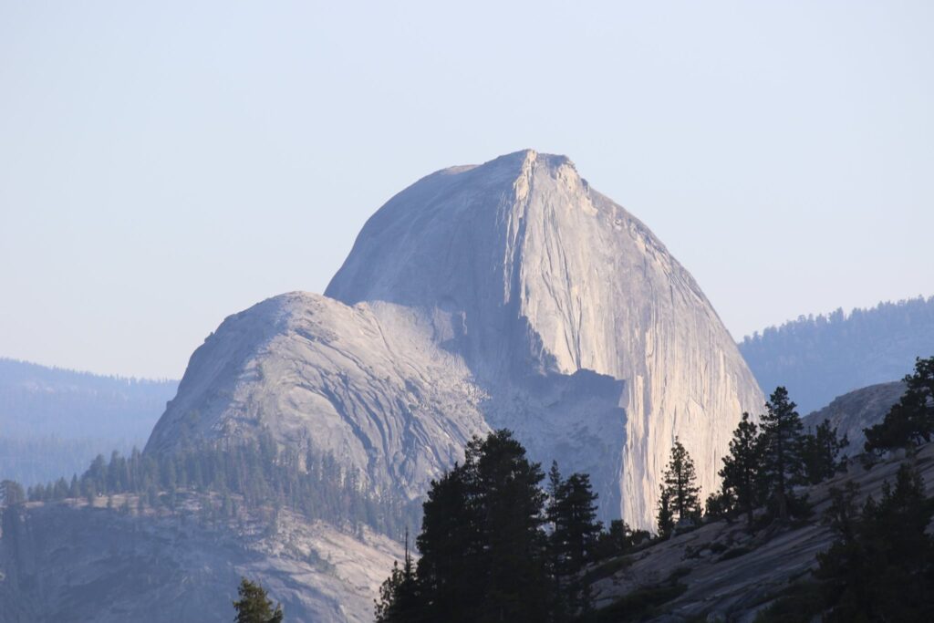
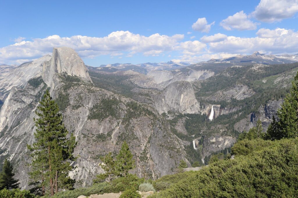
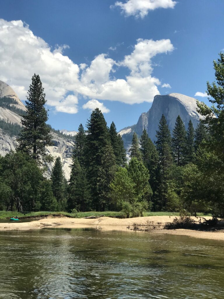
We stopped one final time at Olmsted Point, named after the famous landscape architect. This was a low effort vista with incredible views of Half Dome’s northern side in front of us and Tenaya Lake behind us.

Our first glimpse of Half Dome from Olmsted Point.
View of Tenaya Lake from Olmsted Point.

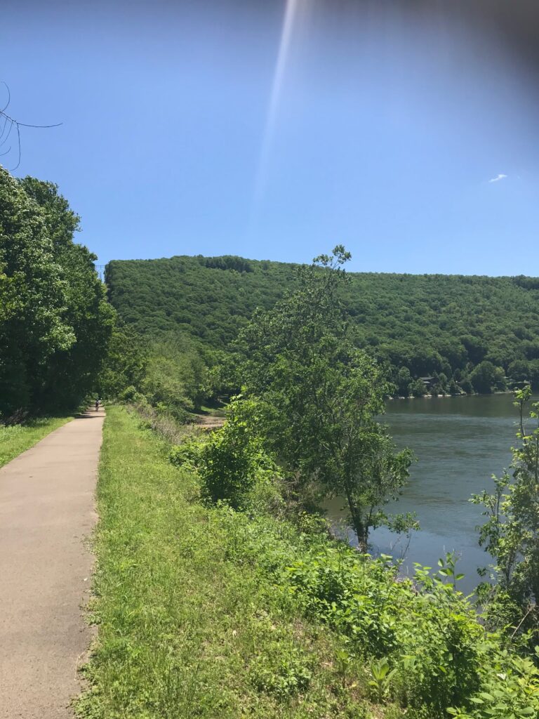
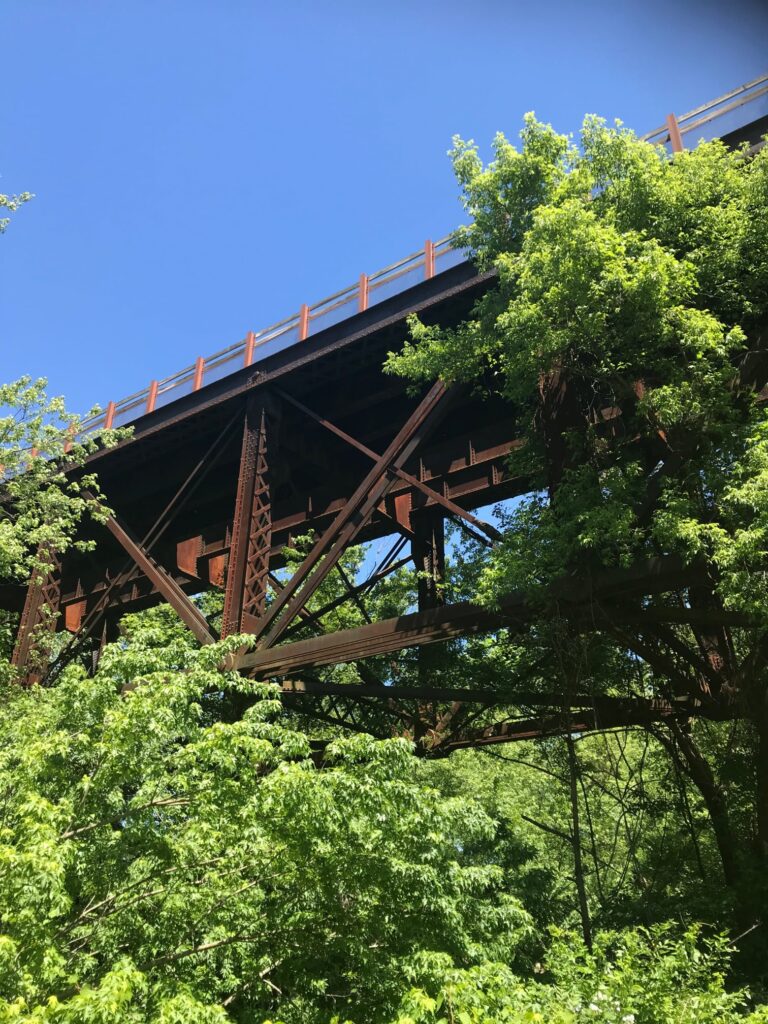
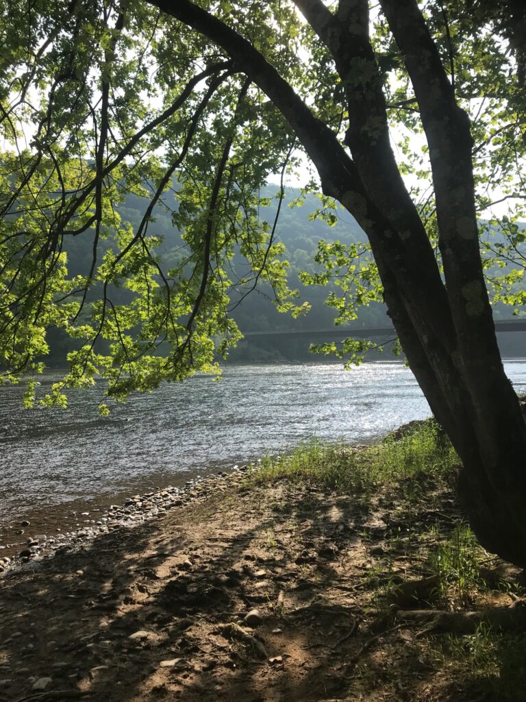
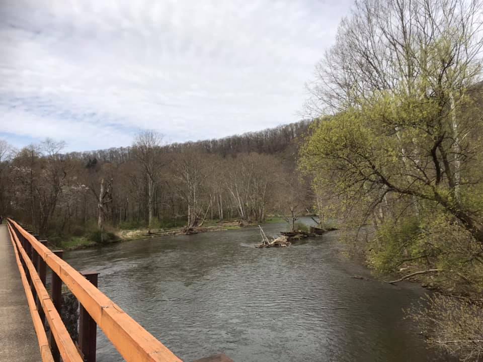
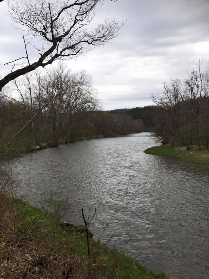
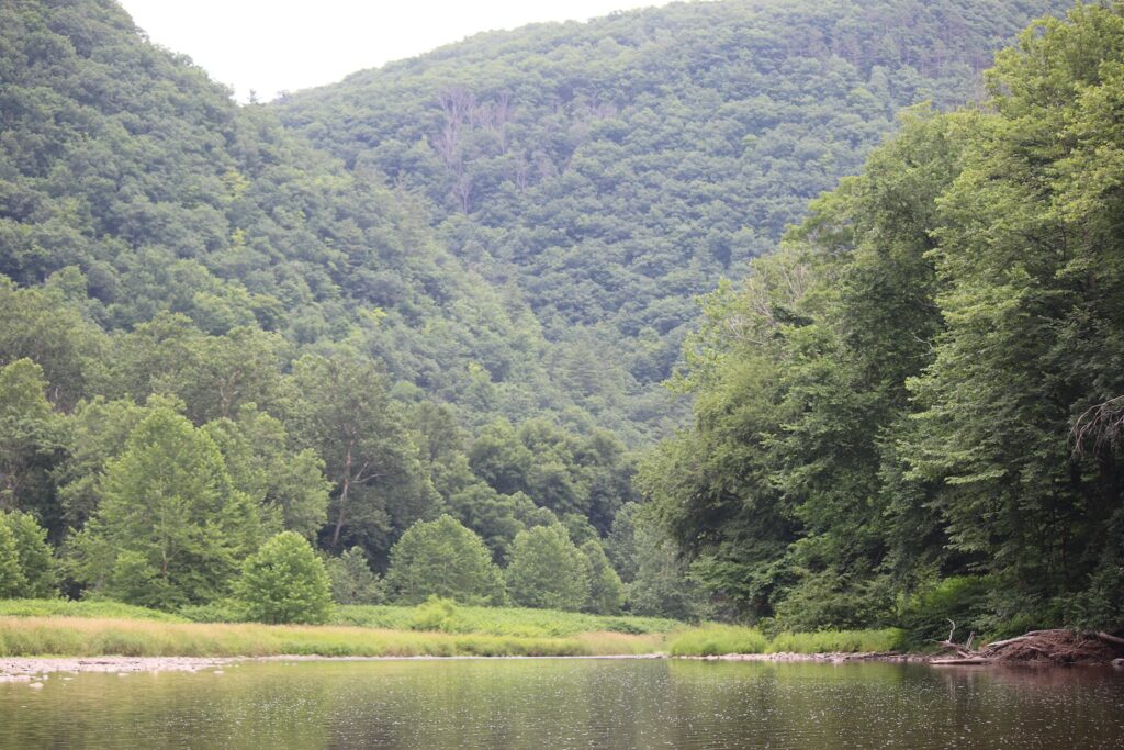
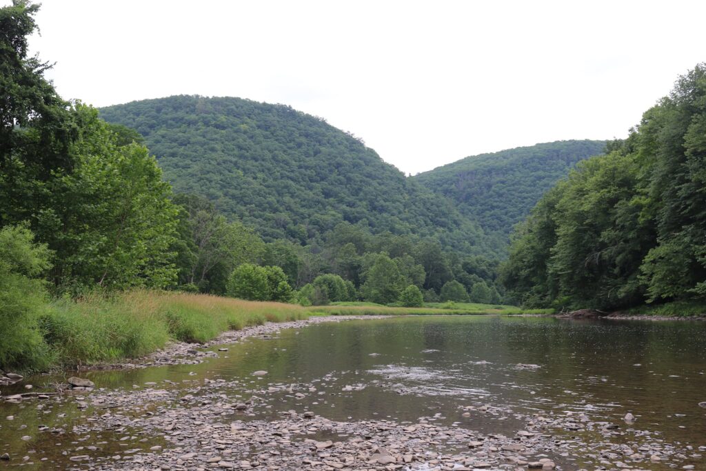
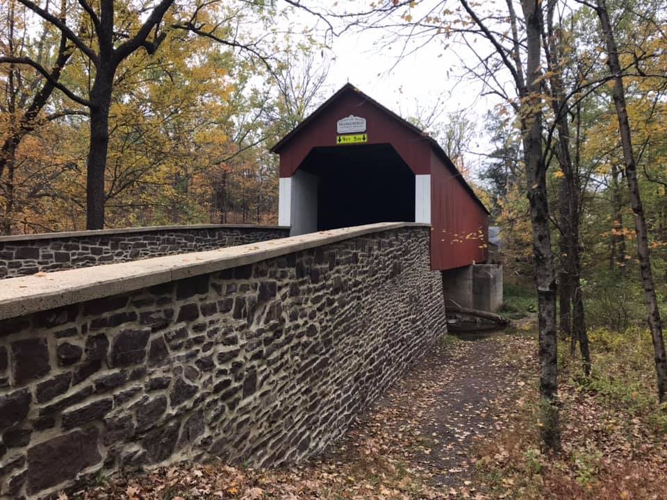
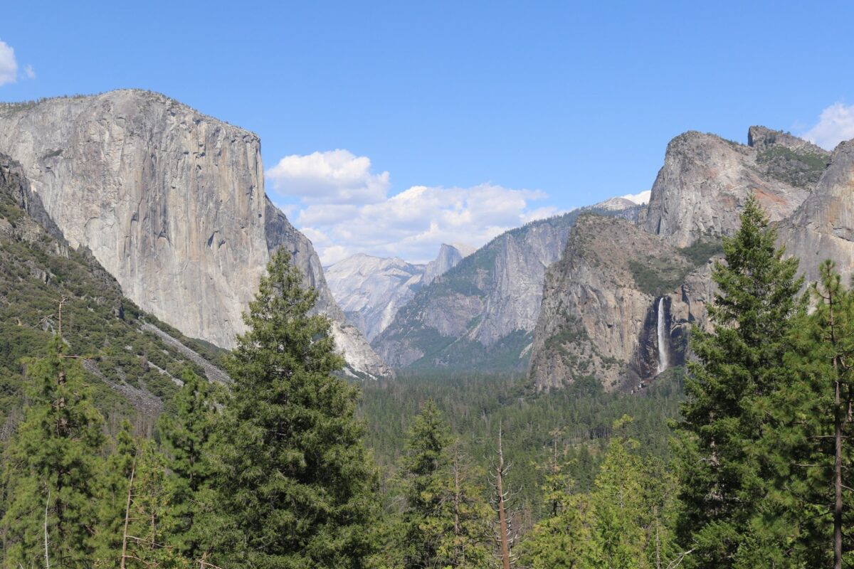
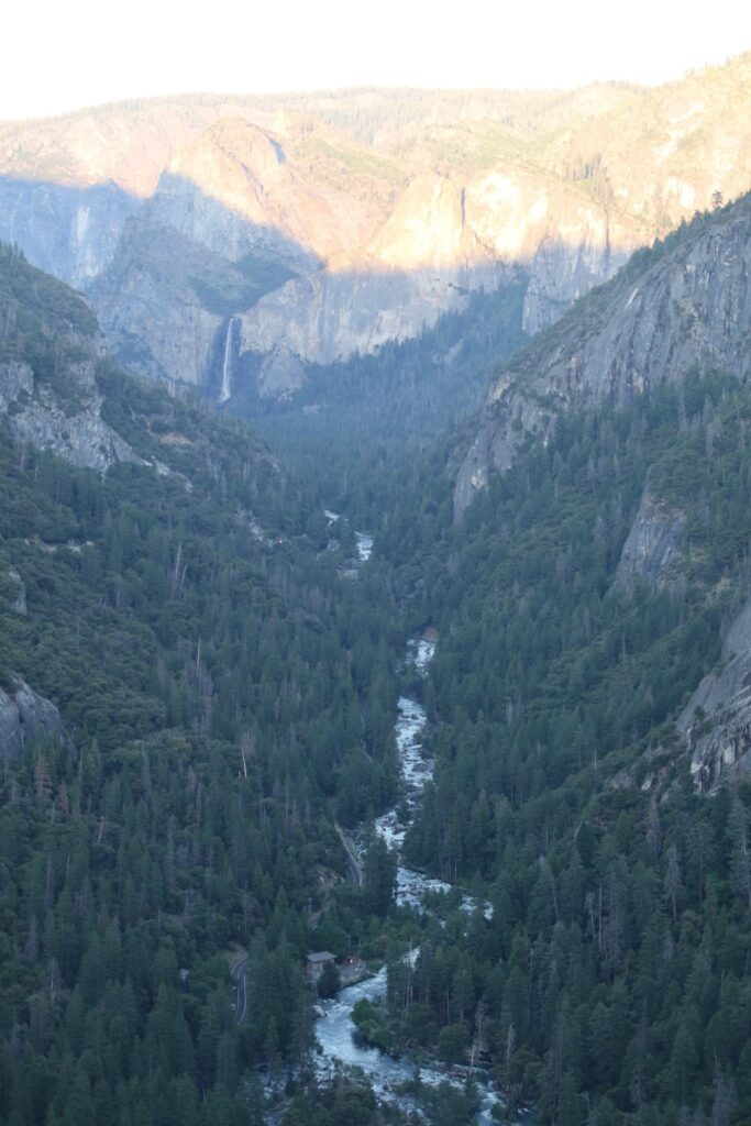
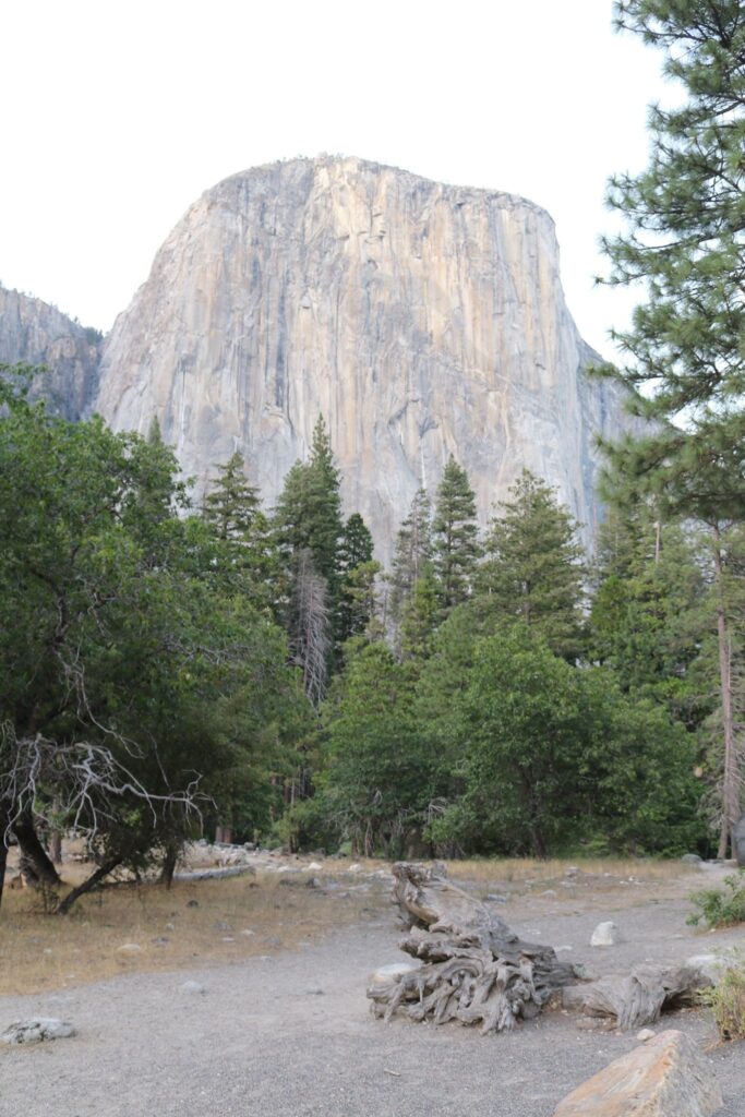
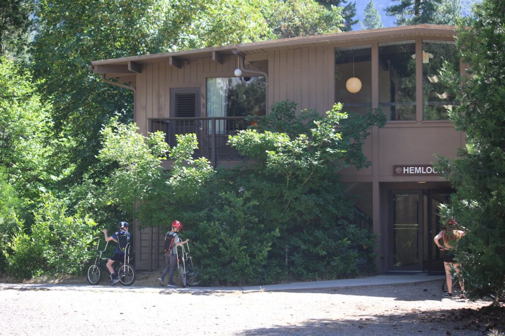
As we turned from Tioga Road to Big Oak Flat and descended into the valley, we got our first view of the Merced River and Yosemite Valley. We checked off first sightings of Bridalveil Falls and El Capitan too before checking into our room at the Yosemite Valley Lodge as the sun set.

The Merced River with Bridalveil Falls in the background.
Bridalveil Falls
El Capitan

Yosemite Falls and drive to Glacier Point-Day 2

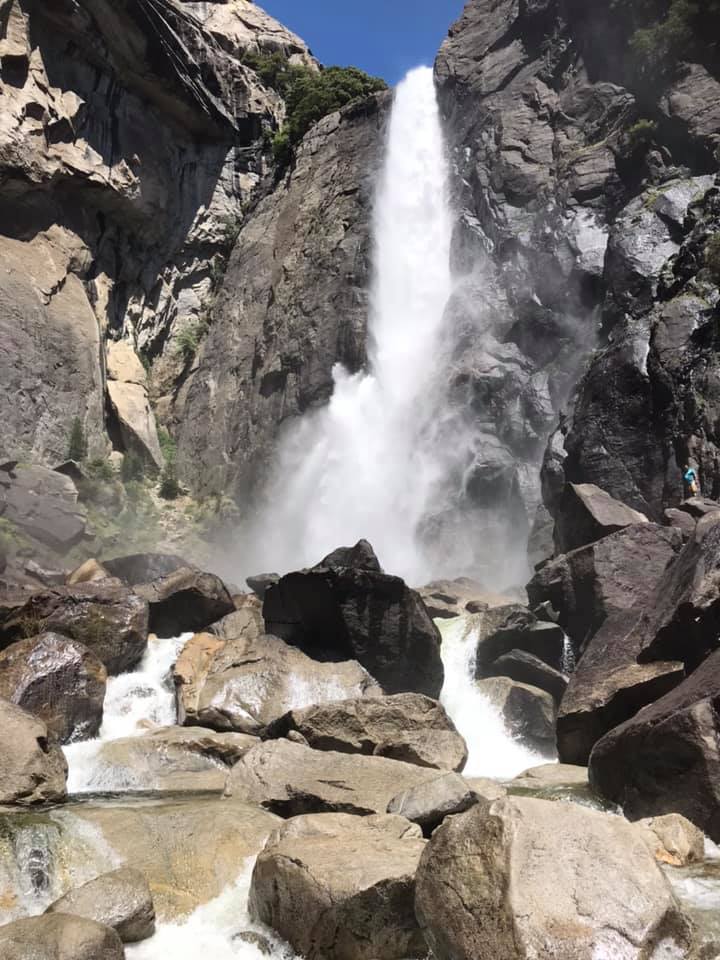
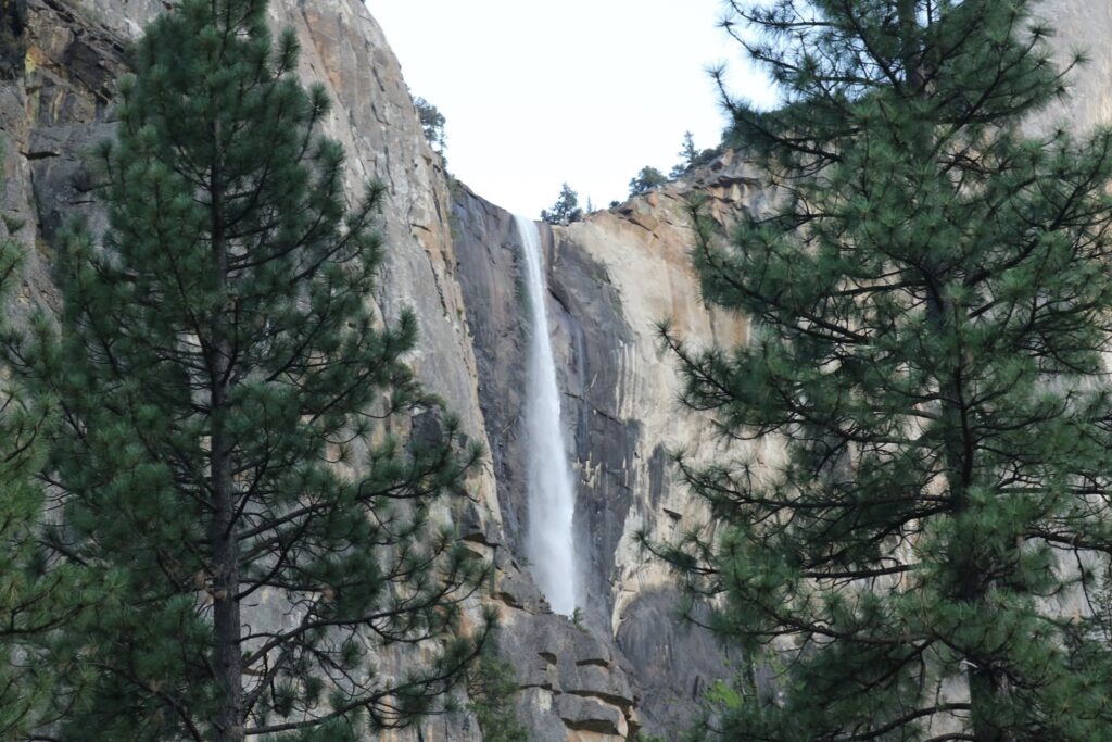
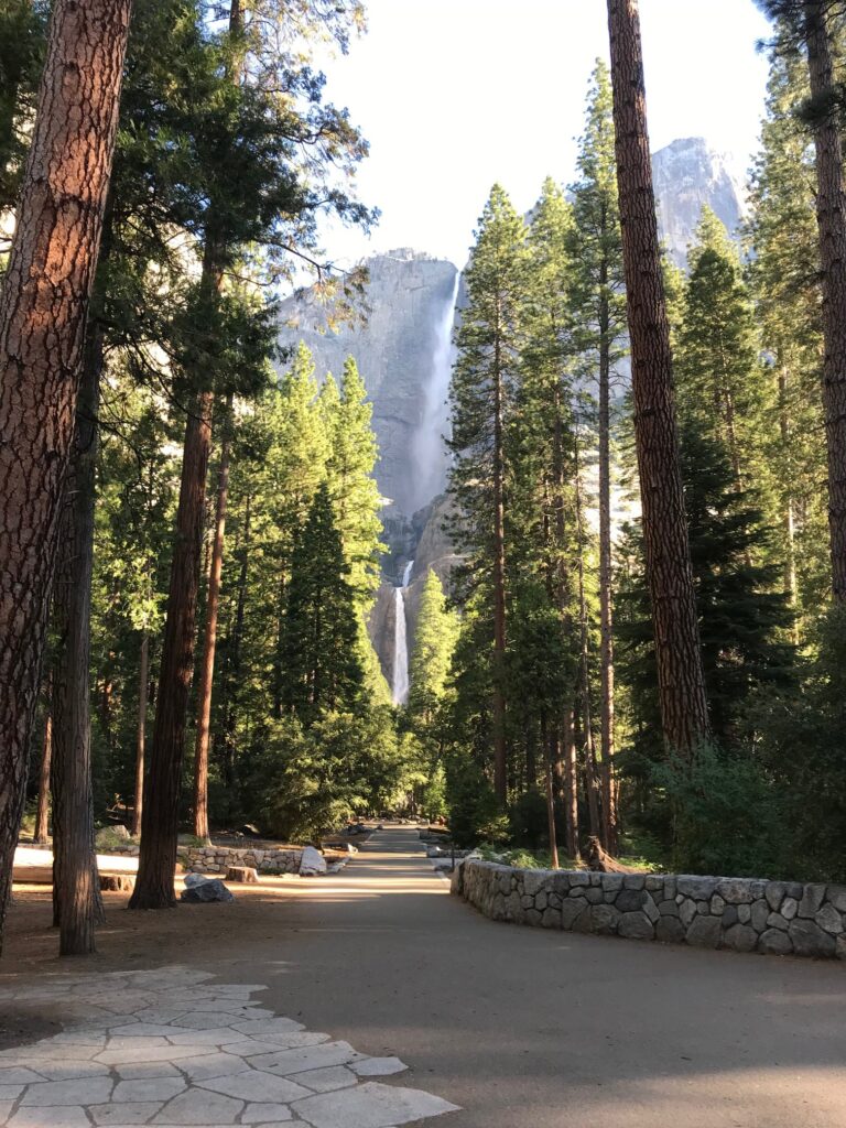
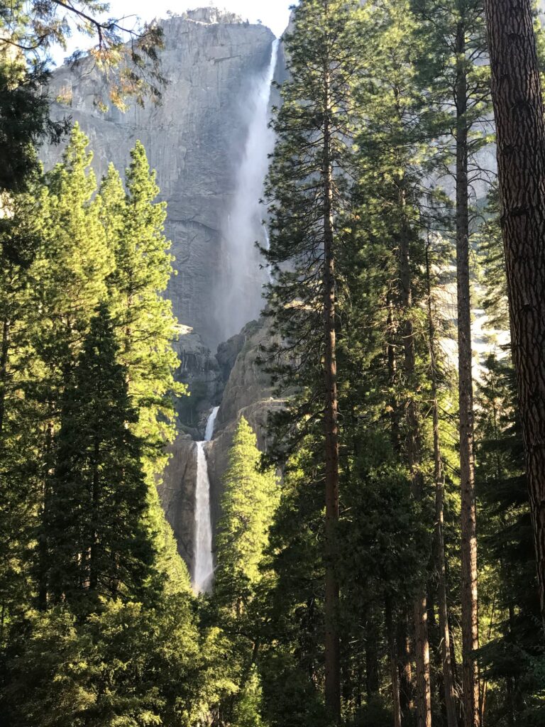
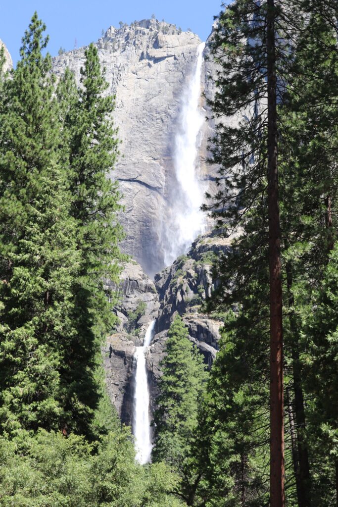
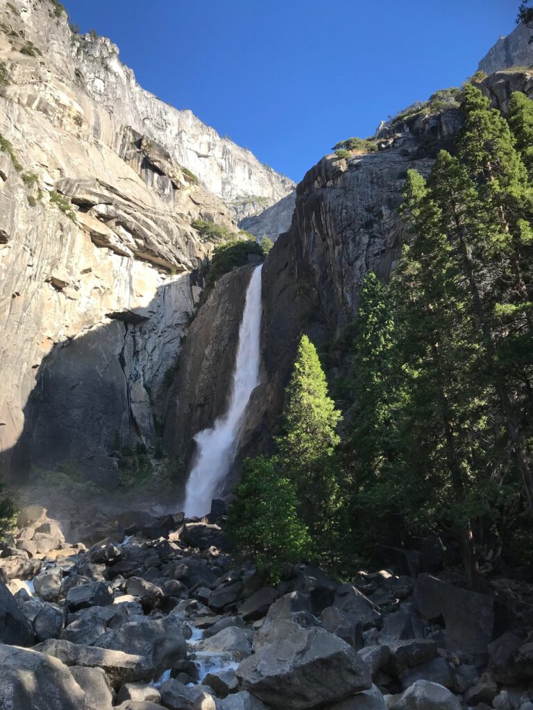
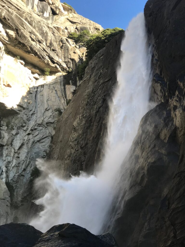
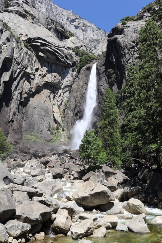
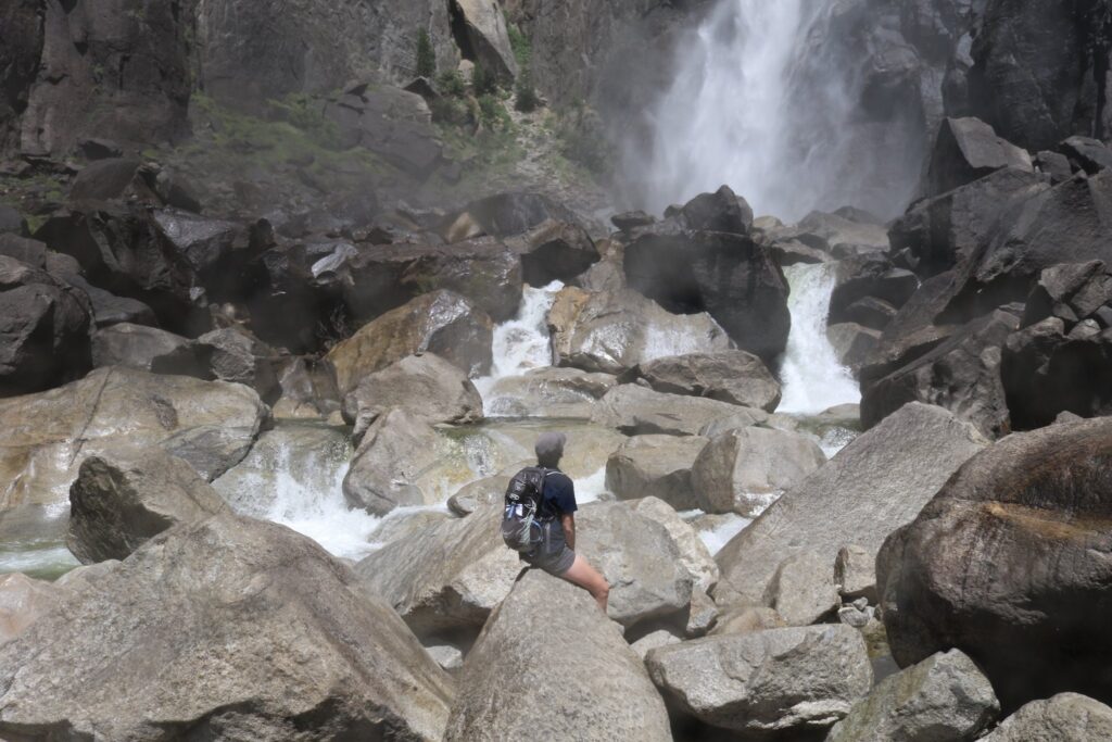
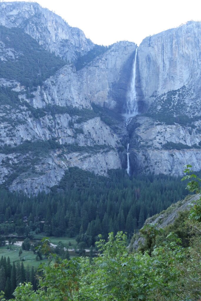
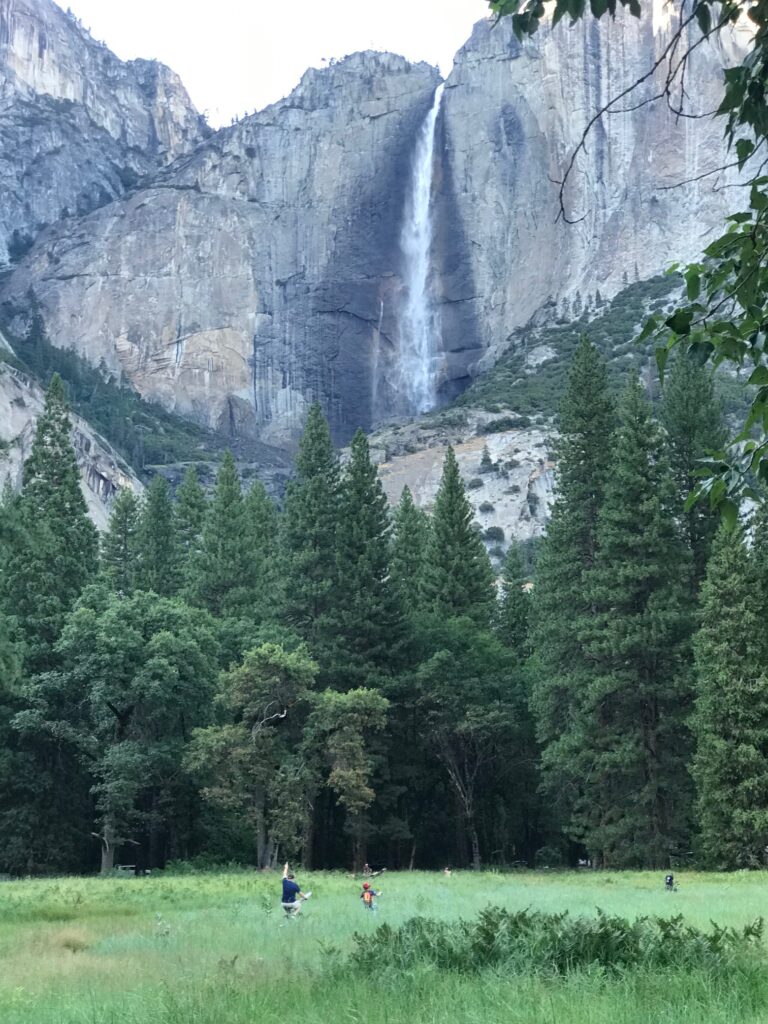
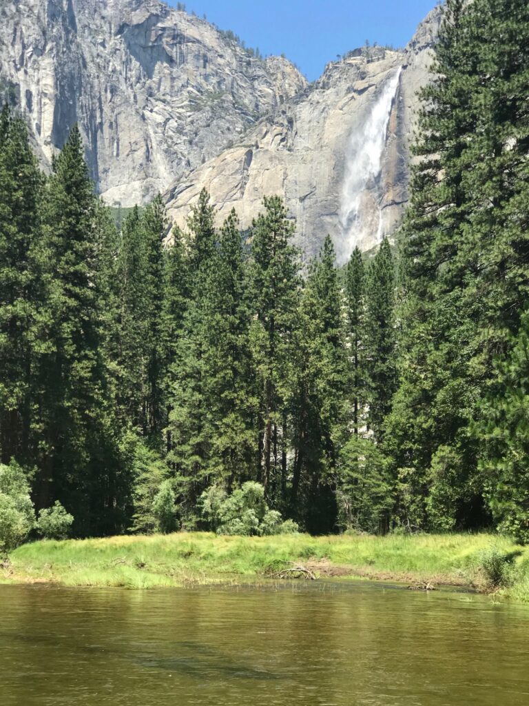
On our first full day, I was up early to walk to Yosemite Falls. At less than half a mile from the room where we stayed, I made this my daily routine. I loved getting there first thing in the morning when I had the falls all to myself!

The approach to Yosemite Falls, first thing in the morning.

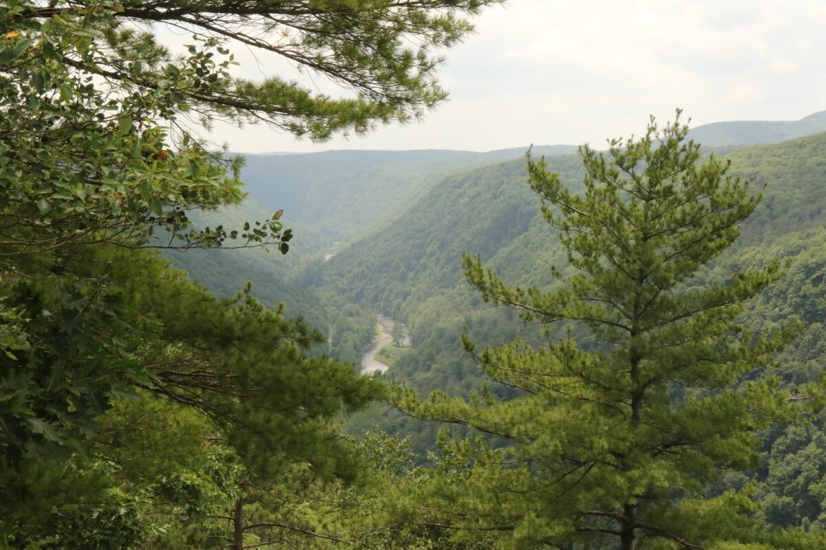
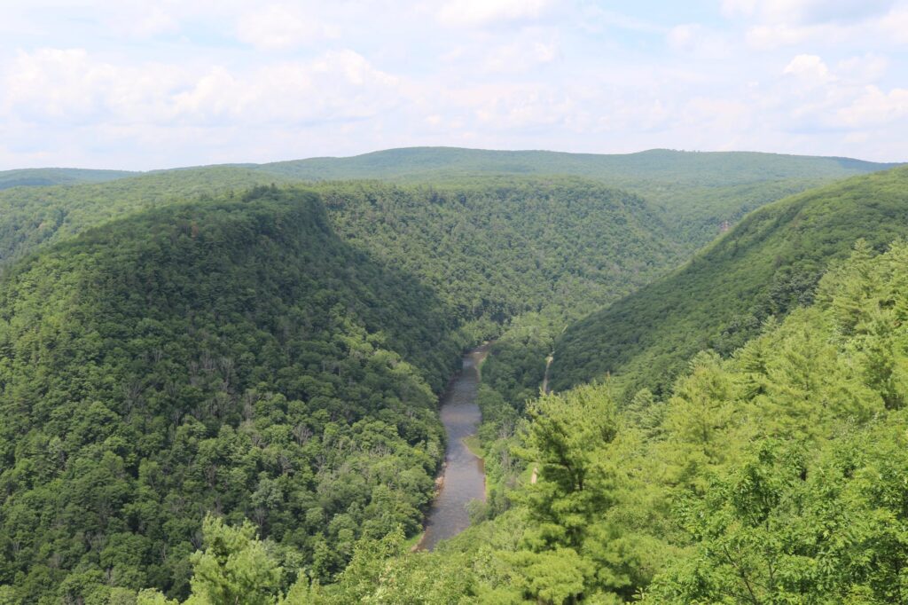
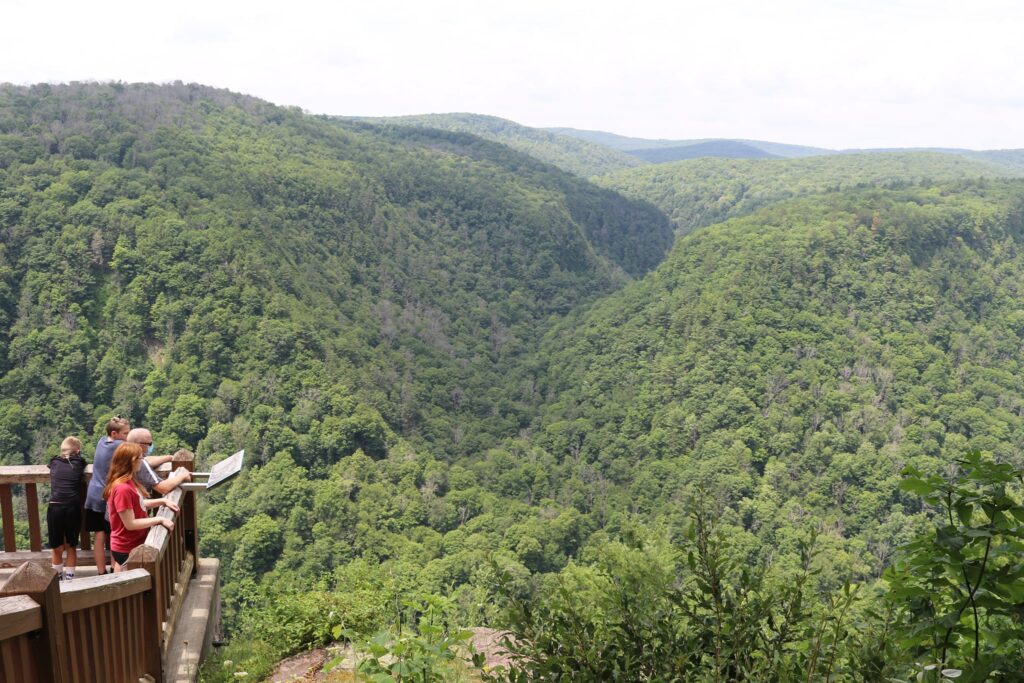
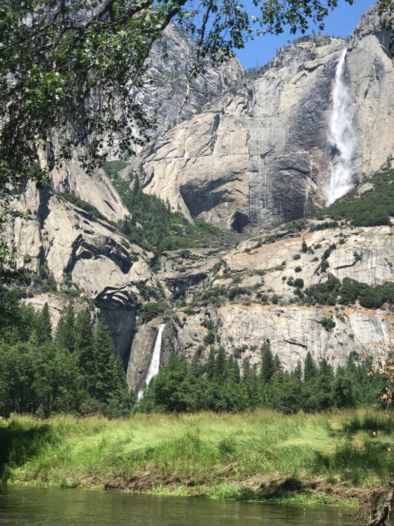
After a day in the valley, we drove up to Glacier Point. A must see stop on the way is Tunnel View. The view of Bridalveil falls, Half Dome, and El Capitan forms the iconic image of Yosemite. Once above the valley at Glacier Point, the views of the valley below were amazing! The hike back down along the 4-mile trail is one of my favorite hikes of all time. You can read about that hike in another blog post here.

Tunnel View
View from Glacier Point
Close up of Vernal and Nevada Falls from Glacier Point

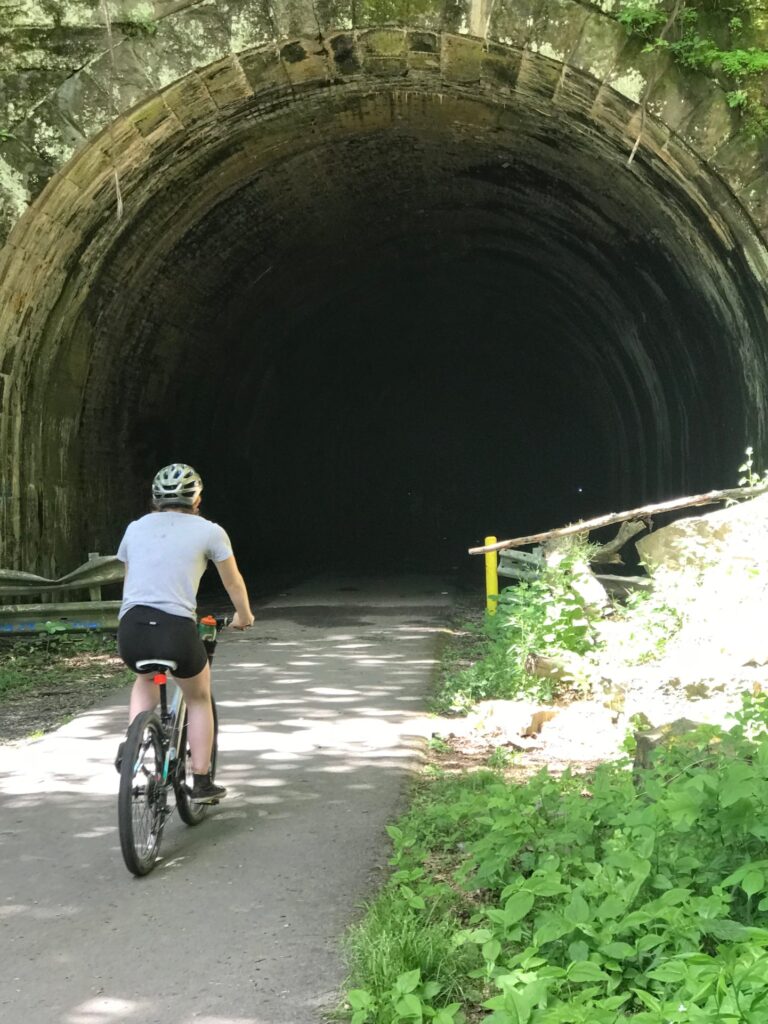
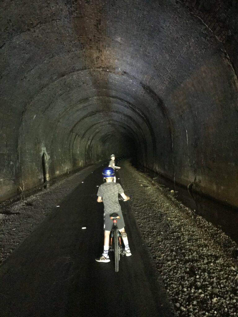
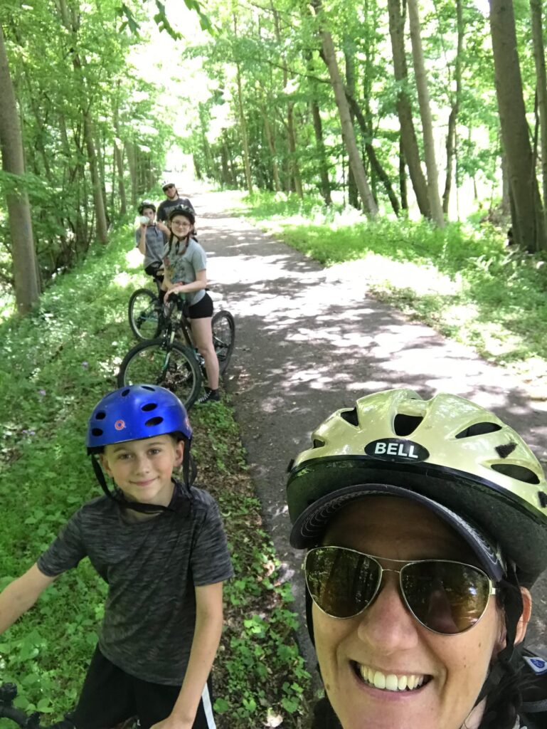
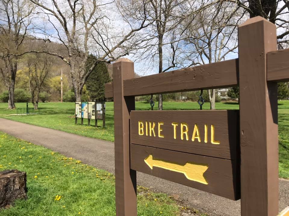
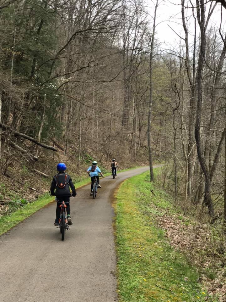
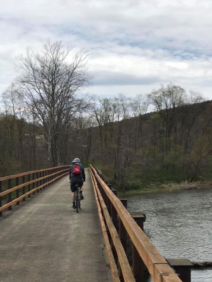
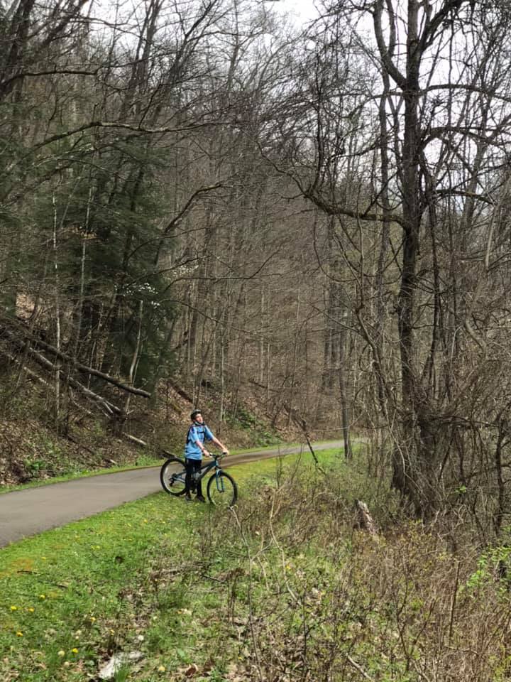
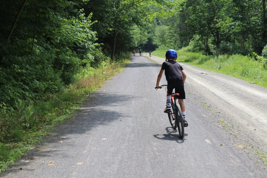
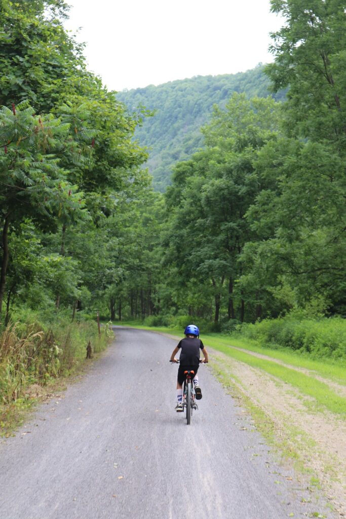
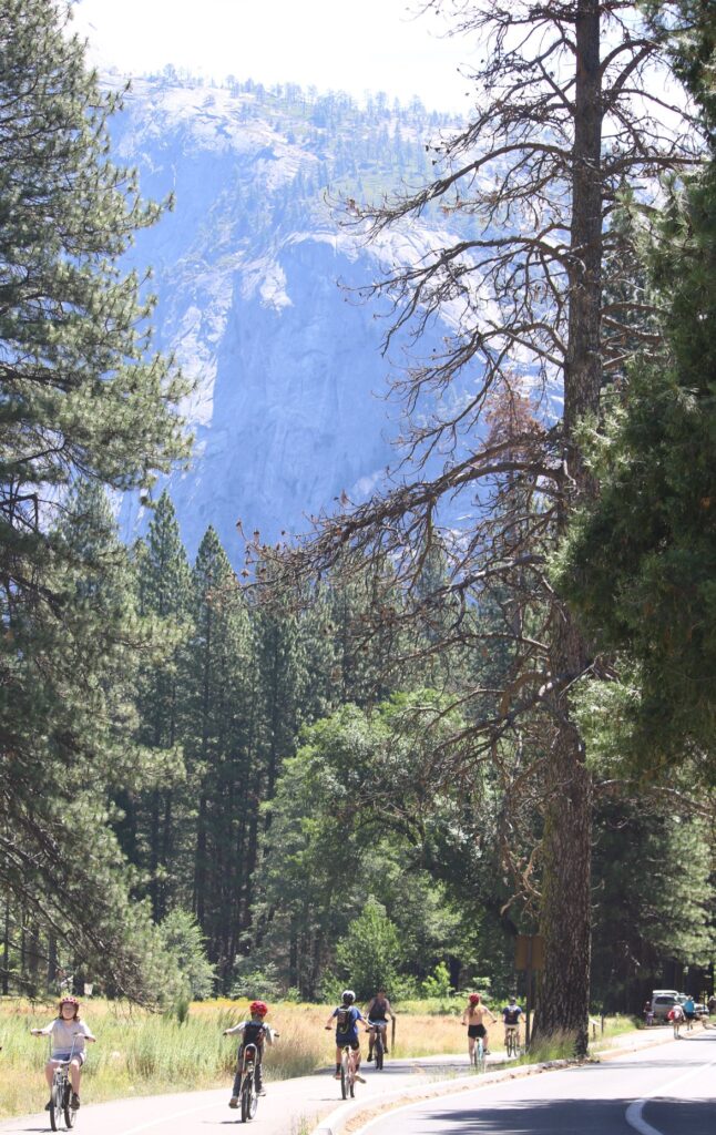
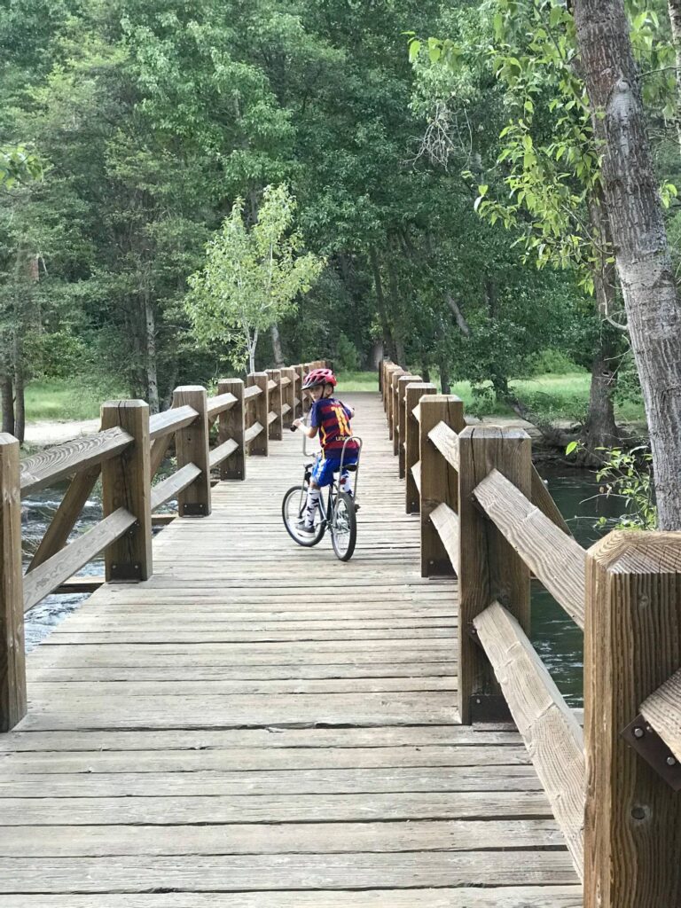
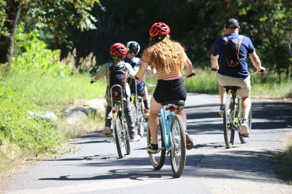
Biking in the Valley-Day 3

Traffic in the valley can become uncomfortably crowded in the summer. It is no fun to waste beautiful summer days in a car or bus. The valley is huge and even though we did walk from the lodge to Curry Village once, we found that the best way to explore the valley was by bicycle! Daily rentals are available at Yosemite Valley Bike Rental.

We get ready to head out on the bike trail right behind our building at Yosemite Valley Lodge.

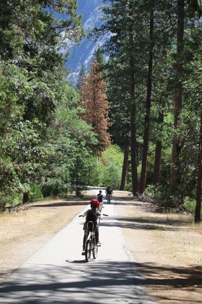
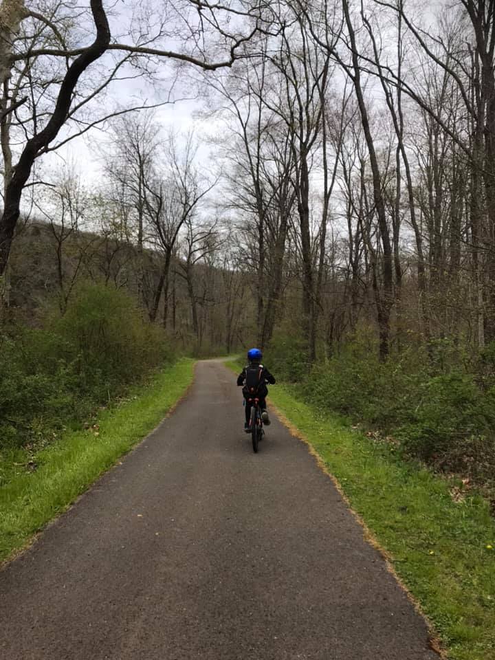
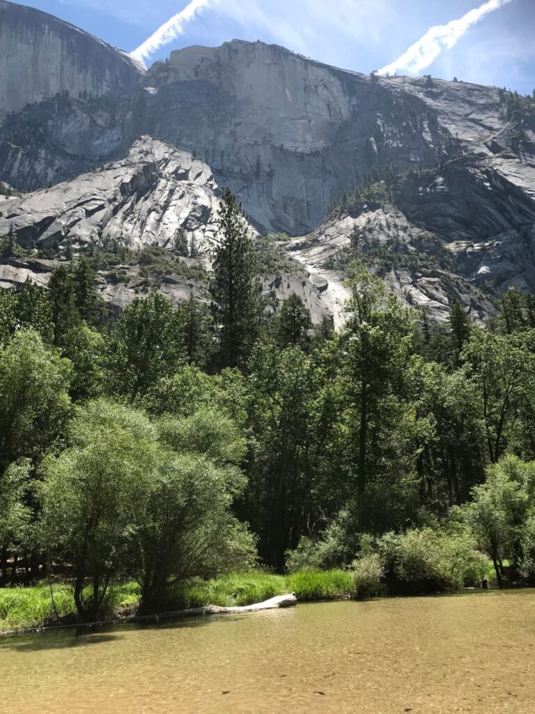
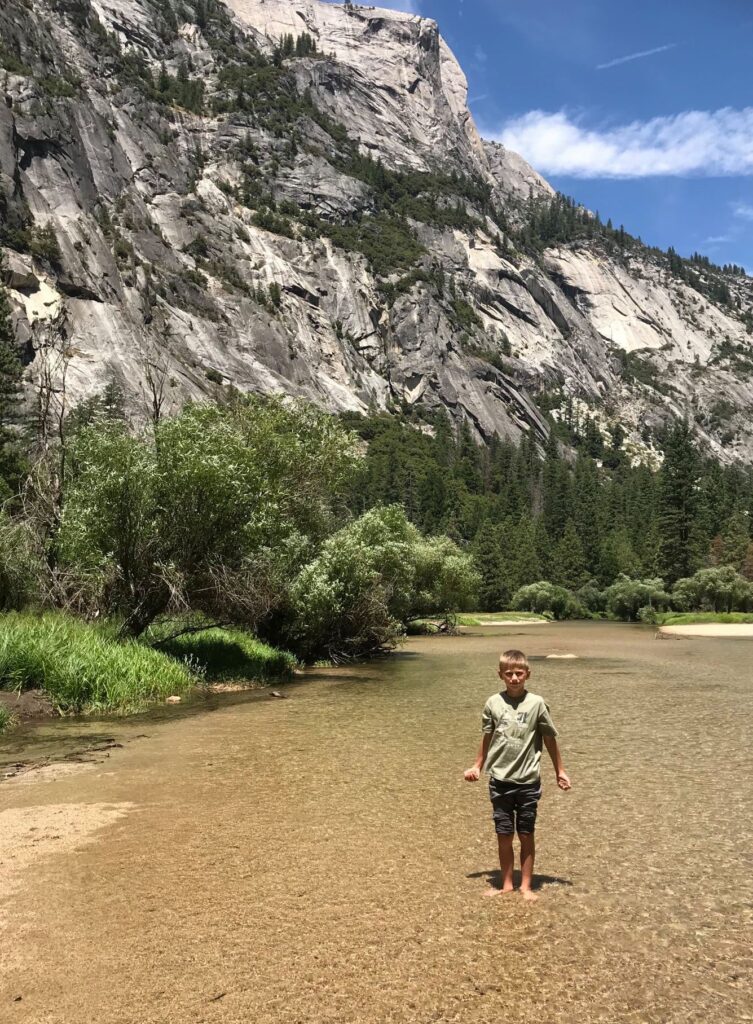
After exploring the area around the lodge by bike, we picked up picnic supplies for a ride up to Mirror Lake. Our route was just under 4 miles to the lake. There is a point where bikes can be parked and the last leg uphill to Mirror Lake is walked. We ate our lunch, enjoyed the beautiful scenery, and then explored the lake.

The bike rental was for the whole day. It was a great way to maximize our time in the valley and avoid the crowds.

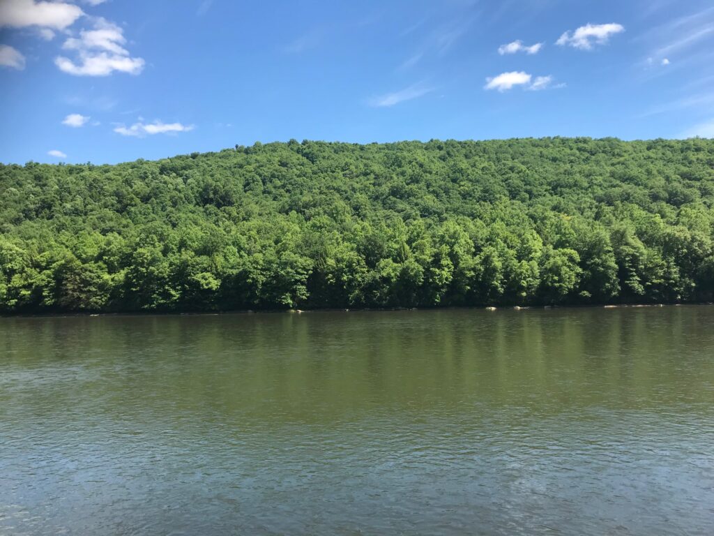
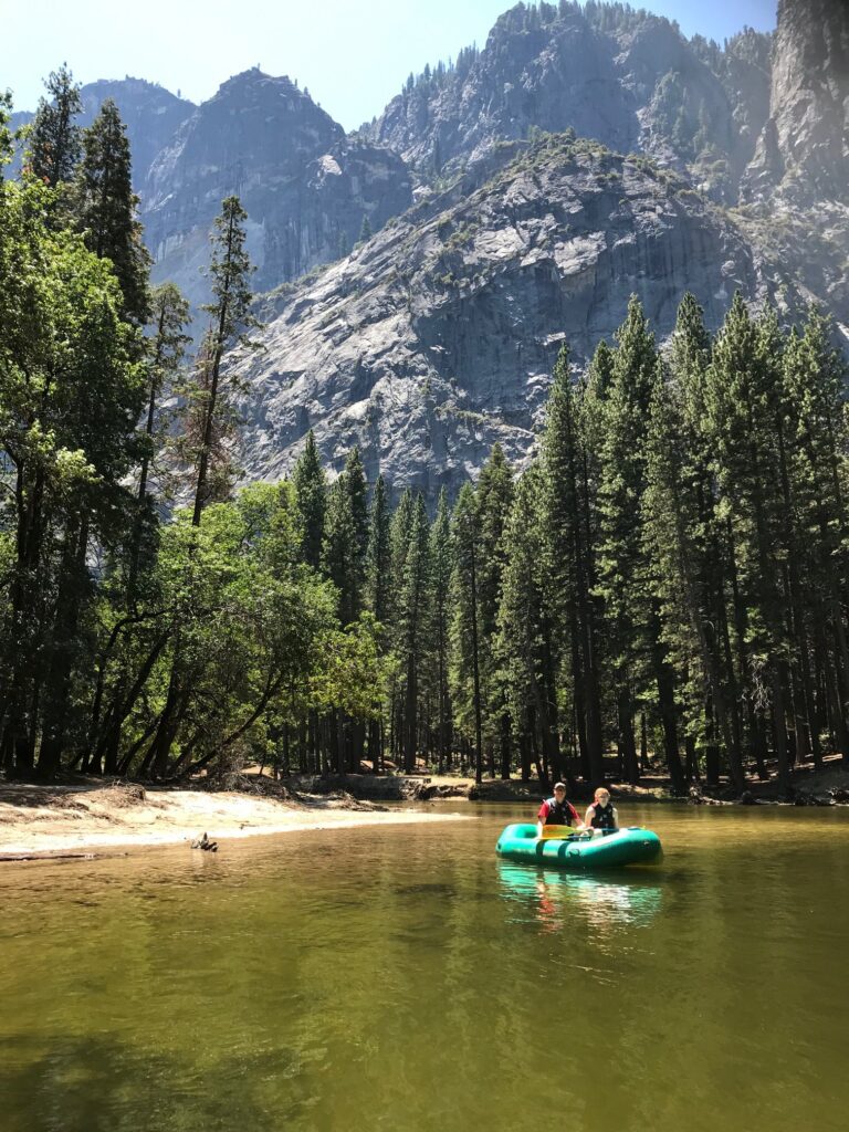
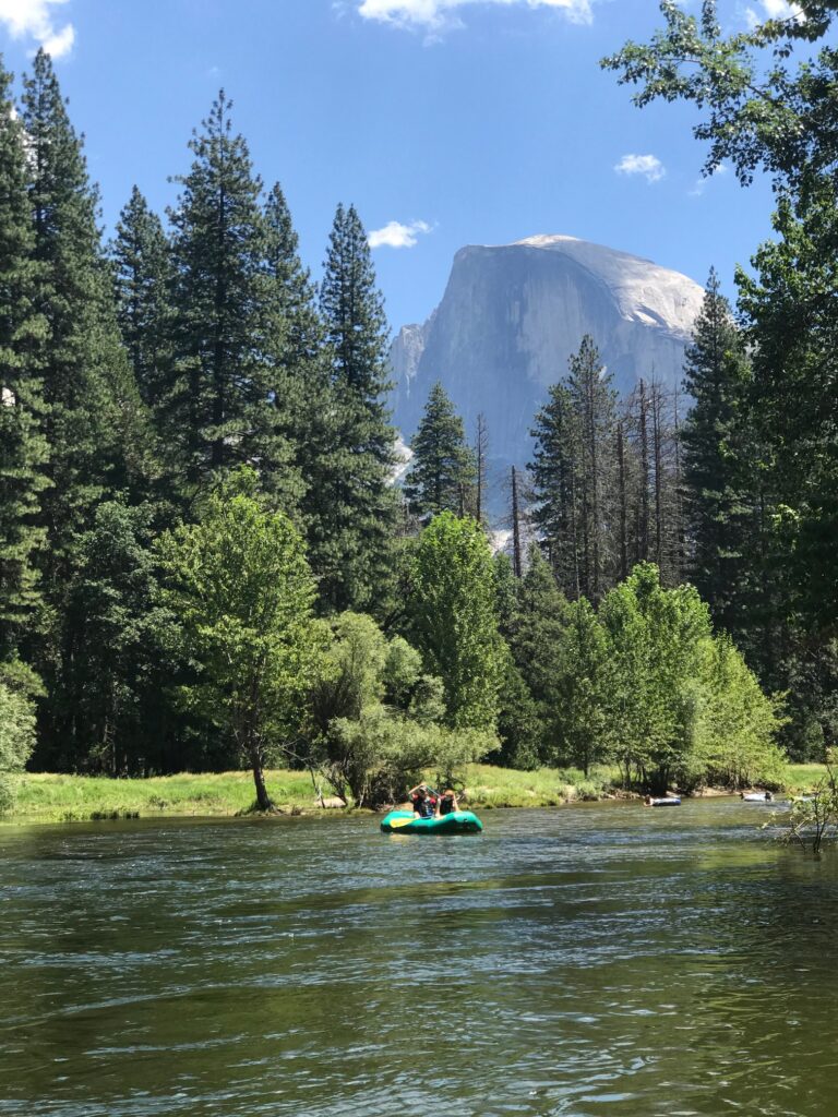
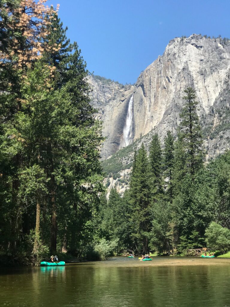
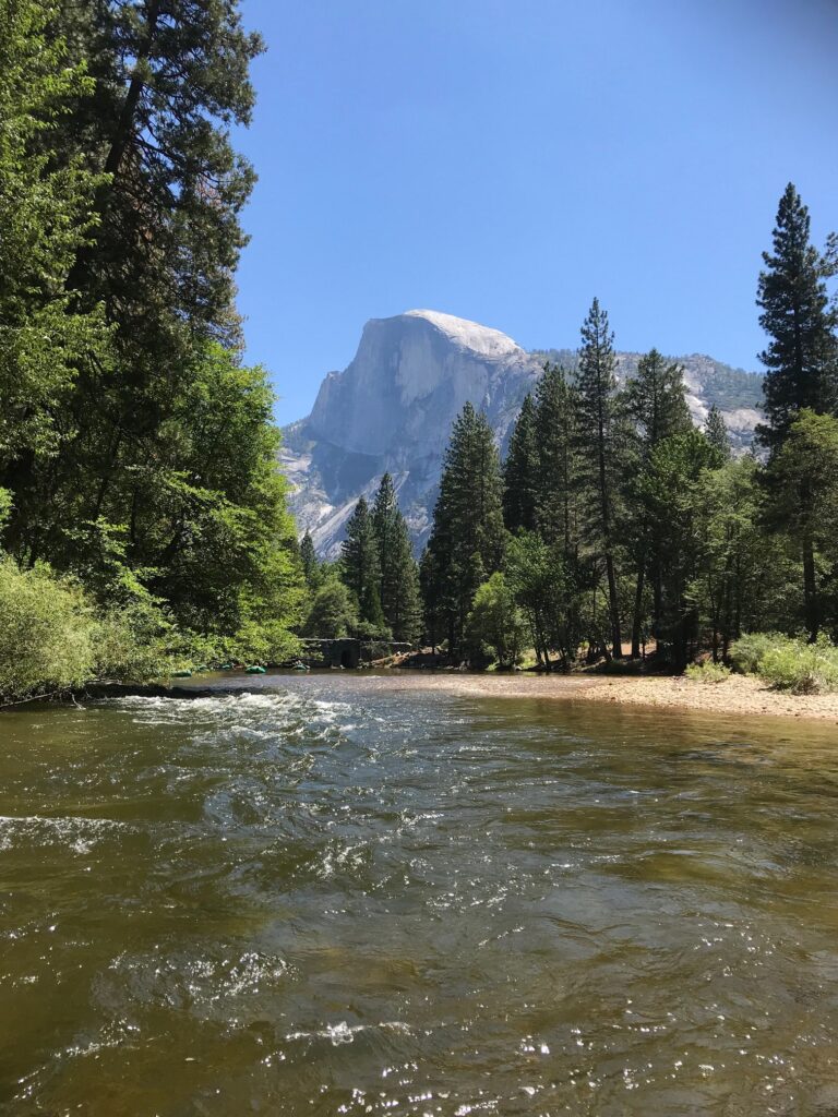
Floating down the Merced River-Day 4

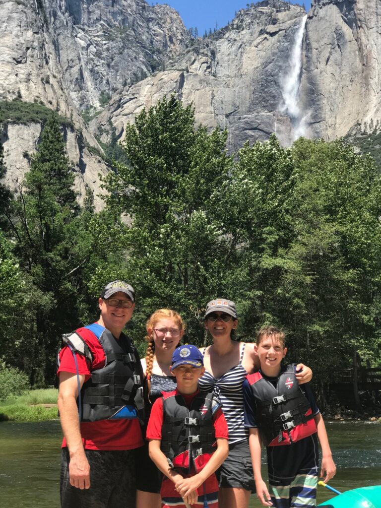
This was the kids’ favorite activity from the trip! We met for a safety talk at Curry Village Raft Rentals, grabbed our rafts, and off we went! This is not a guided tour. You put in your raft of 2 or 3 people and float at your own pace, as fast or as slow as you like. You can stop at a sand bar along the Merced River and swim or relax in your raft and watch the scenery.

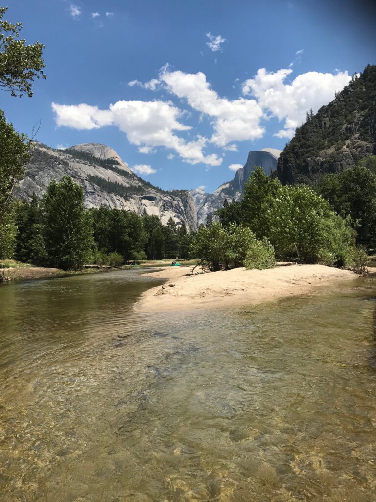
At the end of the trip, the raft company is there to help haul your raft out of the water and offer you a ride back to the starting point if you need it. This was a very relaxing adventure.

Exploring Wawona-Day 5

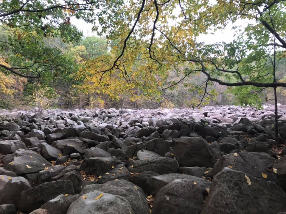
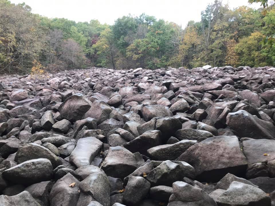
Wawona is the gateway to some of the biggest trees in Yosemite! Driving to this end of the park brings you to the Mariposa Grove Depot where a short bus ride takes you to well-maintained trails through one of Yosemite’s groves of Giant Sequoias.

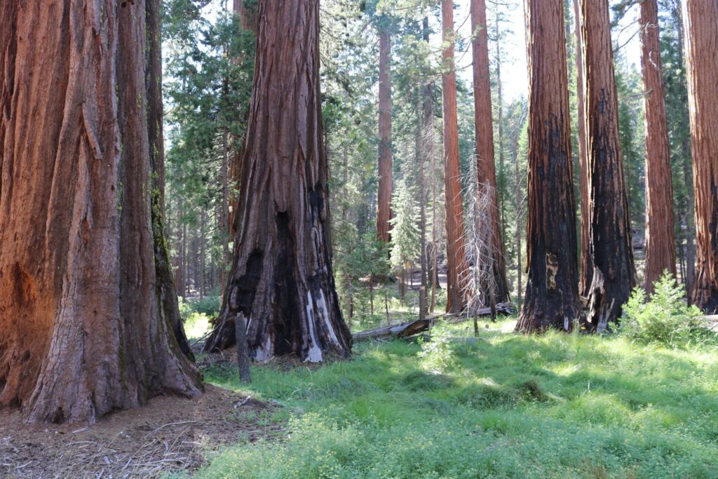
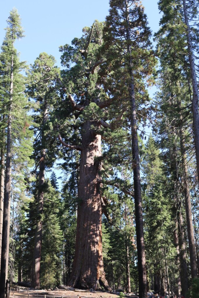
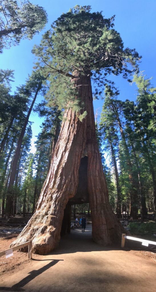
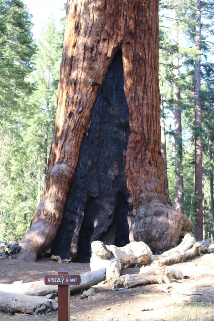
Some of these trees, like the Grizzly Giant above right, are estimated to be over 3000 years old. They bear the scars of this age well. Fire is necessary for these trees to reproduce. The heat opens their seed cones and releases the seeds. While the flames clear the earth for the seeds to germinate, the Giant Sequoias themselves withstand the flames. Signs of past fires are on most of the trees. I like the metaphor. I try to think of these trees when facing my own trials, that it is difficult but necessary to grow.

The trees weren’t the only things of beauty in Mariposa Grove, the Lupine were in bloom.

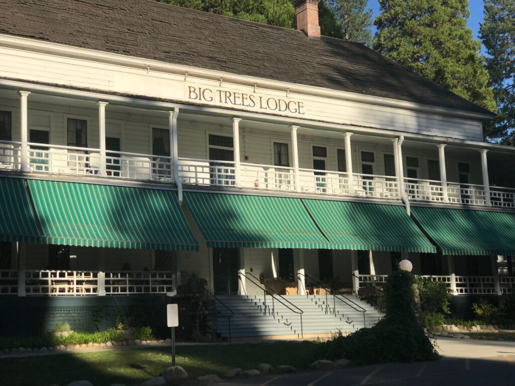
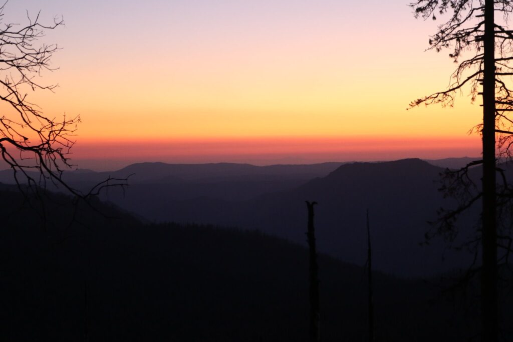
After our hike we stopped at The Big Trees Lodge, formerly the Wawona Hotel, and now once again the Wawona Hotel, for a wonderful dinner before driving back down into the valley as the sun set on another perfect day.

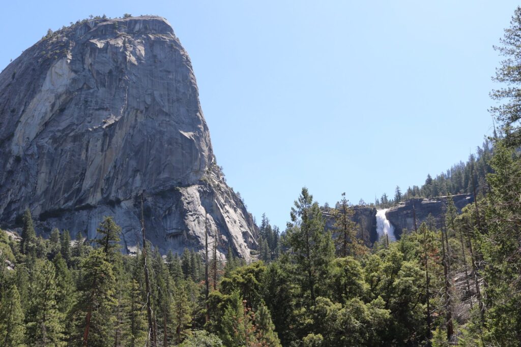
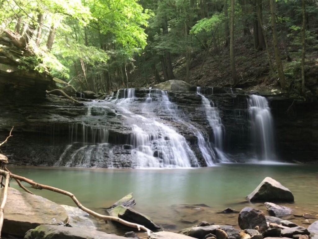
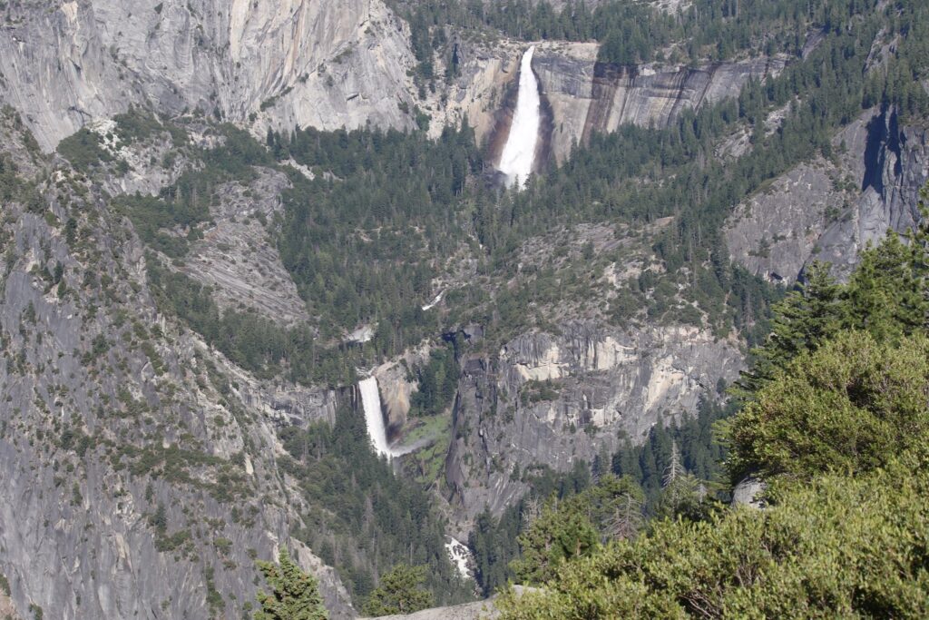
Hiking the Mist trail to Vernal Falls-Day 6

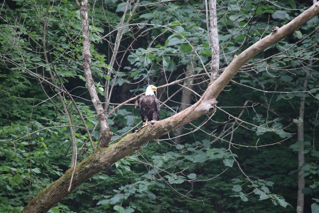
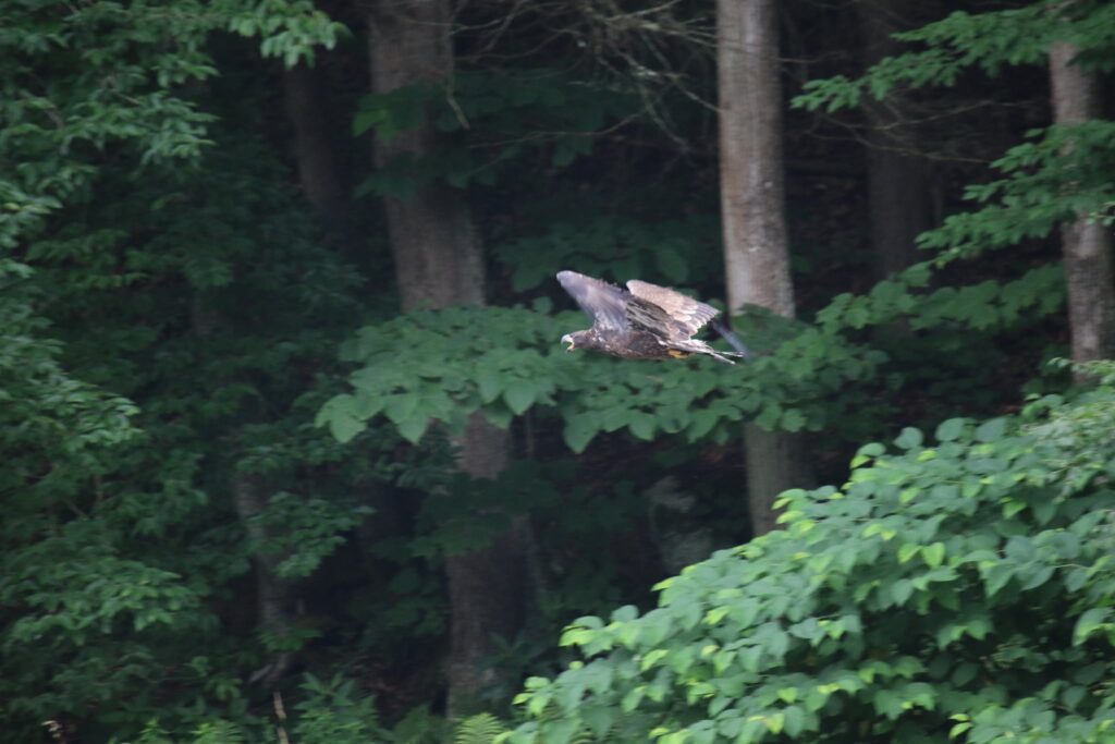
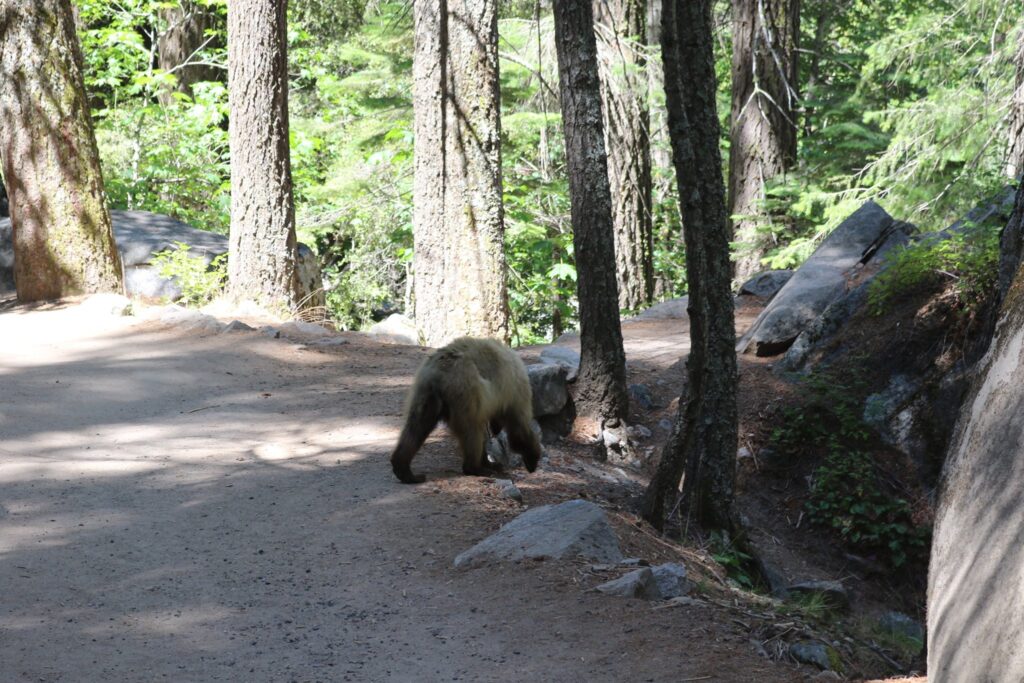
Our final activity of the trip involved a hike to see a couple of the parks famous waterfalls. We took the valley shuttle bus to the Happy Isles Bridge stop. From there, you can hike the John Muir trail to the Mist trail up to the top of Vernal Falls. Even pretty early in the morning, this trail was crowded, but it was worth it. The wildlife didn’t seem to mind all the people.

A bear crosses in front of us on the trail.
Some sections of trail were pretty steep.
Vernal Falls

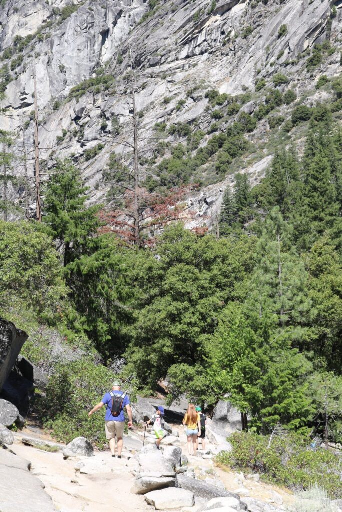
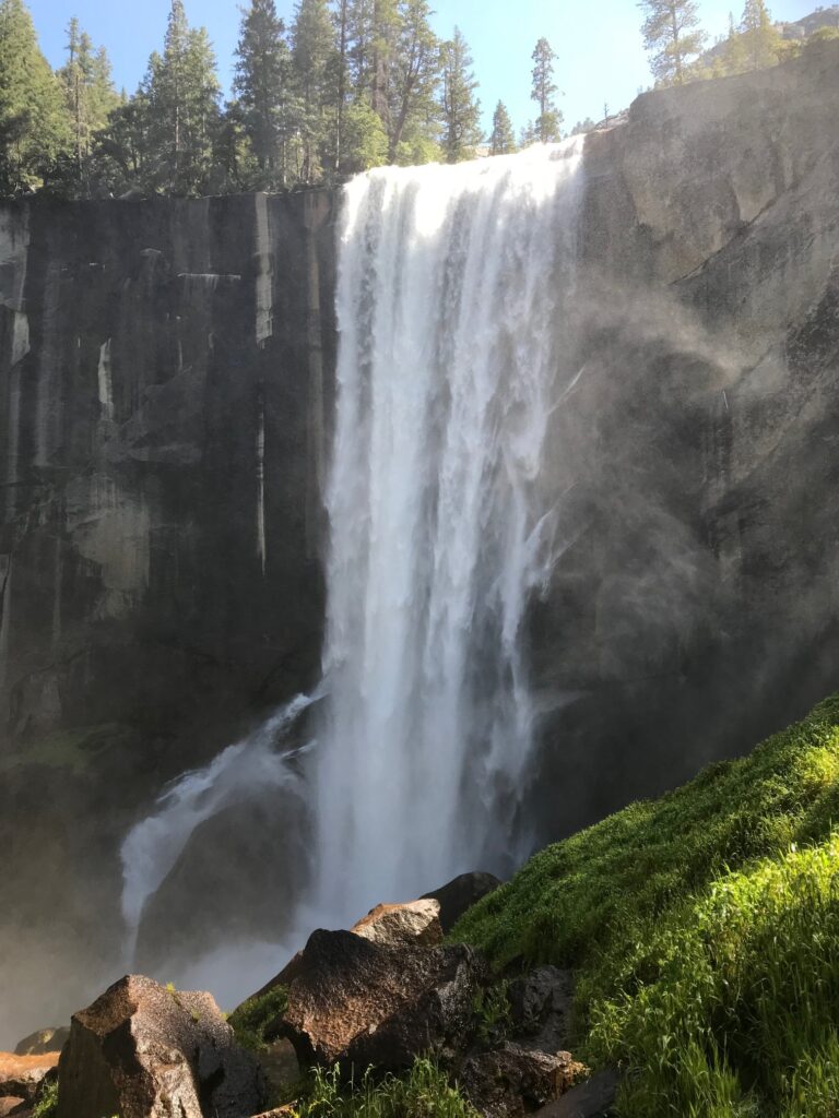
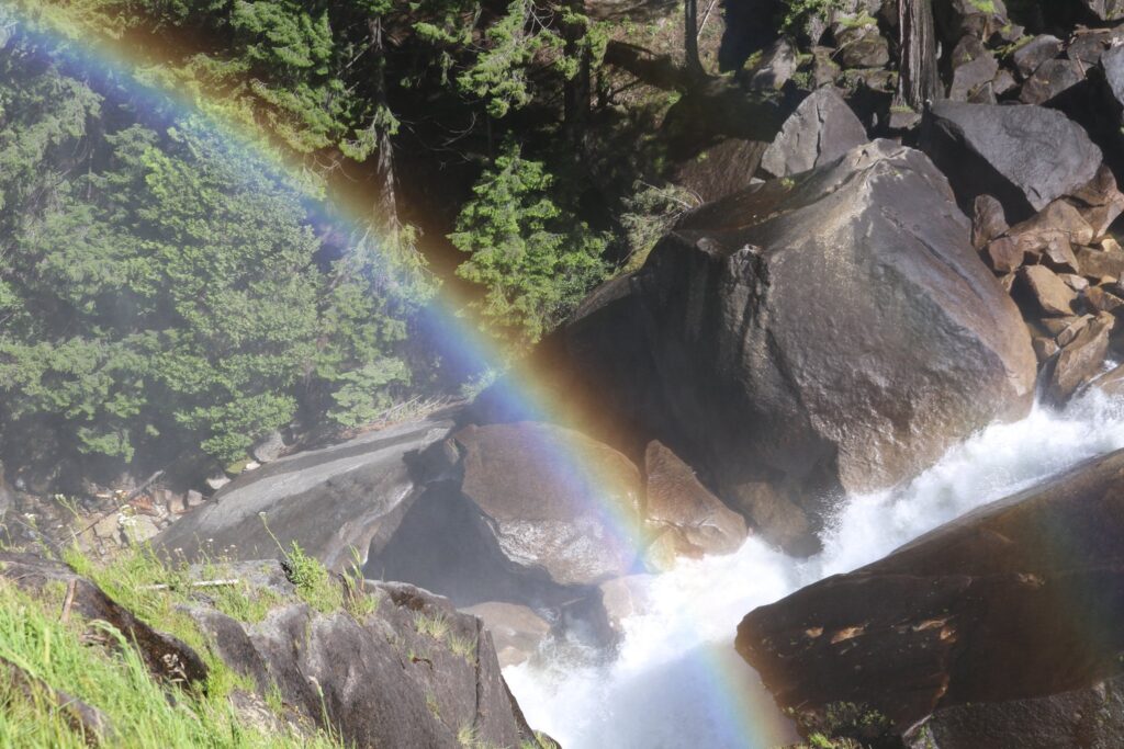
We hiked to the top of Vernal Falls and found a quiet spot to eat our packed lunch. After, we wandered up the trail a bit farther, until we could spot Nevada Falls as well. Then we retraced our steps back down. An alternative route that combines the Mist Trail with another leg of the John Muir trail would make a nice loop, but some family members were tired and ready to head back to the lodge and its swimming pool.

Nevada Falls in the distance.

Allegheny River Trail

The favorite family bike path this summer was the Allegheny River Trail, traveling both north and south from Kennerdell, PA. We actually did sections of this trail over two days, but this is a great day trip for anyone living in the area or for whoever may just be passing through. The kids especially loved the tunnels which were long enough to require the use of headlamps while traveling through them.

View of the Allegheny River, which the bike path follows, from the Kennerdell Overlook.

In June of 2020, we rented a house for a couple of nights in Kennerdell, right on the river. This gave us the opportunity to do a little kayaking as well!

Mid-day view of the Allegheny RIver
Sunrise view of the Allegheny River
Sunset view of the Allegheny River

For our first day of biking, we headed north. Our starting point was very close to the southern entrance of the Kennerdell Tunnel off of a private road. This tunnel is 3350 feet in length. It was pathed throughout and had reflectors to mark the center. Due to its length and curve at the end, you can not see from one end to the other making the headlamps not only fun but necessary!

For more information on the trails including parking, facilities, and maps, consult the Allegheny Valley Trails Associations website.

We traveled about ten miles on the trail. It was paved the entire way except for a roughly 1-mile section of the shared-use gravel Kent Road. The views of the river from the path were beautiful, here and there were also benches or picnic tables to rest and enjoy it. At one point we stopped to watch a Bald Eagle fishing across the river.

We turned around at the Sandy Creek trailhead junction. There were nice views of the bridge over the Allegheny. This looked like another great path to come back and ride sometime!

View of the Sandy Creek trail above us.

The next day we headed south on the Allegheny River Trail. This time our goal was a stop at Freedom Falls and the Rockland Tunnel about 10 miles down the path. We enjoyed more beautiful views of the river.

We parked our bikes at the Rockland Station Road trailhead. The tunnel was in view from here but we took to the road and walked a half-mile up to see Freedom Falls and the Rockland Furnace. We sat and ate our packed lunch in front of the falls. What a fantastic spot! Other than a few people camping up on the hill, we had the whole place to ourselves.

Freedom Falls

After resting by the falls we explored the ruins of the Rockland Furnace. This furnace was in operation from 1832 until 1854 for the production of iron. It was in pretty good shape considering that it hasn’t been used in 160+ years! It is all that remains of the town of Freedom that once stood here. Interesting to think that this area was once probably treeless and that trees have again overtaken the land. After we were done exploring it was time to travel our second tunnel. The Rockland tunnel is 2868 feet long but still long enough to not see the other end! We traveled through it and back again as we headed back to the house for a relaxing dinner and a family game to end our weekend get away.

Entrance to the Rockland Tunnel.
Another look at the Kennerdell tunnel from the inside!

Oil Creek State Park

Another great biking adventure!

I don’t remember how I stumbled upon this bike trail, but I know that I had not heard of it before 2020, and I liked it so much that we visited it 3 times this summer! We parked at the Jersey Bridge parking area just south of Titusville, PA. This is also within walking distance of Drake Well and Museum, which celebrates the inception of the petroleum industry. Pairing a trip to the museum with a ride on the trail would make for a nice day, but unfortunately, it was closed throughout 2020 due to the Covid-19 pandemic.

We rode this trail, the entire distance of the park, as a family of five twice. It is 20 miles round trip, but the relatively flat grade made this doable for everyone, including the youngest, at age ten. The third trip here we were joined by my parents who, still very active in their 70’s also enjoyed the trail.

The trail is very secluded. Once you leave the parking area, there are no roads or road noise!

The path follows Oil Creek, crossing it twice on the way to an area of the park called Petroleum Center. This part of the state park had a restroom, picnic areas, a seasonal train station, and a very cool interpretive boardwalk with photographs of what the town of Petroleum Center looked like during the Pennsylvania oil rush of the mid 19th century.

Oil Creek, near the south end of the state park, with remnants of Pennsylvania’s oil boom in the background.

This was a great ride, in a beautiful place. It was also a powerful reminder of how humans can both destroy and restore the world that they live in. I enjoy learning the history, but hope to live my life as one of the restorers.

Exploring Pine Creek

Summer 2020 was full of socially distant outdoor activities. One of our family’s favorites was exploring the many bike paths within a few hours of our home in western NY. The next 3 blog posts will feature our 3 favorites this summer. We started this trip by taking a picnic lunch up to Leonard Harrison State Park in Wellsboro, PA.

This park is in the heart of the area known as the Pennsylvania Grand Canyon and is situated on its eastern rim. The boardwalk leads to overlooks with sweeping views of the canyon and Pine Creek below. When we visited in July, there were also concessions featuring local treats. I was surprisingly pleased to see there is also an Iron Mike statue. These statues, to commemorate the work of the Civilian Conservation Corps, began with the first unveiling in 1935 in Griffith Park, Los Angeles California. Today there are 76 statues throughout the United States. So much of the groundwork in many of the parks I enjoy visiting on the east coast was laid by the workers of this depression-era program.

Now, about this bike trail! We parked at the Darling Run access lot just south of Ansonia, PA. Our plan was to ride about 7.5 miles down to the Tiadaghton camping area and back. The entire bike path is 62 miles long.

The youngest, always trying to catch up!

After riding for about 3 miles, we pulled off the trail to enjoy the creek. It was a warm day and it was a great place to splash and cool off.

After 7.5 miles we arrived at our destination. Again, we waded in the creek. this time we were joined by an adult and a juvenile Bald Eagle. The area was very peaceful.

After cooling off for a bit it was time to return the way we came. A storm was blowing in as we biked the 7.5 miles back to our van.

Even though this trip was in July, I am writing about it in November. In the spirit of Thanksgiving, I am so grateful for a day spent with family, a social program that promoted the protection of beautiful places while putting people to work, and all the people who fought for the protection of species like the Bald Eagle so that we can still enjoy them today.

Frenchtown, NJ

October 2020 brought us to Frenchtown, NJ for a couple’s weekend while the kids stayed with Oma for the weekend! Why Frenchtown? It was within a 6-hour drive, had plenty of outdoor activity nearby, and was in a state that did not require us to quarantine after we returned! I did a quick google search for the best small towns and Frenchtown met our requirements! Frenchtown sits right on the Delaware River which forms the border between western New Jersey and eastern Pennsylvania.

I booked three nights at the National Hotel. We arrived after 9:00pm the first night, but the dining room was open until 10:00. I loved the feel of renting a room above the restaurant in this old hotel. The service was great and the staff were all friendly.

Day 1

The next day was a beautiful fall day. We took a walk along the Delaware River and the Uhlerstown-Frenchtown bridge which crosses the river. Then we had breakfast at the Frenchtown Cafe before heading out on our bikes to explore the Delaware and Raritan bike path.

The bike path! Wow, what a great find. There are actually two paths, one on each side of the river. The D&R Canal towpath trail is on the New Jersey side and the Delaware Canal towpath trail is on the Pennsylvania side. Both paths are about 60 miles long and there are multiple bridges across the river so you can spend a few hours or a whole day making a loop or figure 8’s along the trails.

There was beautiful scenery on both sides of the Delaware river. The New Jersey side was wider, with the Pennsylvania side often being only wide enough for a single bike, but both sides were equally scenic.

There were a lot of well preserved remnants of the the days when canals in this area were essential for bringing resources to manufacturing centers during the industrial revolution. The D&R canal transported freight between Philadelphia and New York. The Delaware Canal has retained most all of its features from its operations in the 1800’s even though the last paid canal fare was in 1931 when railroads overtook canals as a means of efficient transport.

We rode our bikes from Frenchtown on the D&R towpath trail to the pedestrian bridge at Bull Island. We crossed the river here but continued south and crossed again to arrive in the quiet town of Stockton, NJ. We stopped for lunch at the Stockton Market, an indoor farmer’s market with an eclectic mix of offerings.

Sign at the entrance of the Bull Island Recreation area along the tow path bike trail.
Stockton Market, indoor farmer’s market

After lunch we headed back north, crossed the pedestrian bridge again to bike up the Delaware Canal towpath trail on the Pennsylvania side of the river. We finished 28 miles of biking with a great covered bridge before crossing one more time back into Frenchtown.

Uhlerstown, PA covered bridge

After our busy day of biking, we dined at the Frenchtown Inn. To encourage greater social distancing, they converted outdoor space into a unique dining experience. It was a relaxing meal with a view of the bridge and the Delaware River.

Day 2

Day 2 was a drive to investigate a nearby county park, the surrounding area, and Washington Crossing Historic Park.

First stop-Ringing Rocks Park

Ringing Rocks County Park was a little gem of a place. The highlight was its boulder field full of rocks that resonate different pitches when hit. The rocks showed scars from all the attempts at making music here!

Scars on the rocks were they have been struck.

The trail at Ringing Rocks formed a loop that took you around the boulder field and past a seasonal waterfall. The trail was wooded and well marked.

Season waterfall, just a trickle in October

After hiking the roughly 1-mile loop around ringing rocks we took a scenic drive through eastern PA to pass through the Frankenfield covered bridge on our way to Washington Crossing Historic Park.

The Frankenfield covered bridge

After reading 1776 by David McCullough a few years ago, I had a vivid mental picture of what George Washington’s Christmas crossing of the Delaware was like. I was excited to find that the location was not far from Frenchtown while I was planning this trip. On the drive there we passed signs for Bowman’s Hill Tower and made a quick stop there. There is an entrance fee and they recommend reserving an entrance time online in advance. The website can be found here.

The view from the top of Bowman’s Hill Tower

The majority of the park was just a short drive down the road from the tower. The park preserves several buildings present during the 1776 crossing. My favorite was McConkey’s Inn, located right next to the Delaware River. The sign said that this inn was where Washington and his aides ate dinner prior to the crossing.

McConkey’s Ferry Inn
Sign marking the crossing on the New Jersey side of the river.

The common thread running through the sights we visited was the power of transformation. This area was transformed from untamed wild, to purposed for human use, to abandonment, to a balance between their history, preservation, and enjoyment. May we all find this balance in our travels. May we pay tribute to the past with an eye for sustainable balance in the future.

Verified by MonsterInsights