3 days to see Poughkeepsie and the Catskills

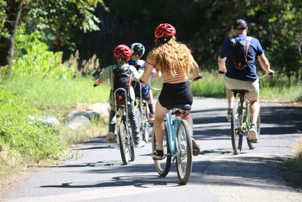
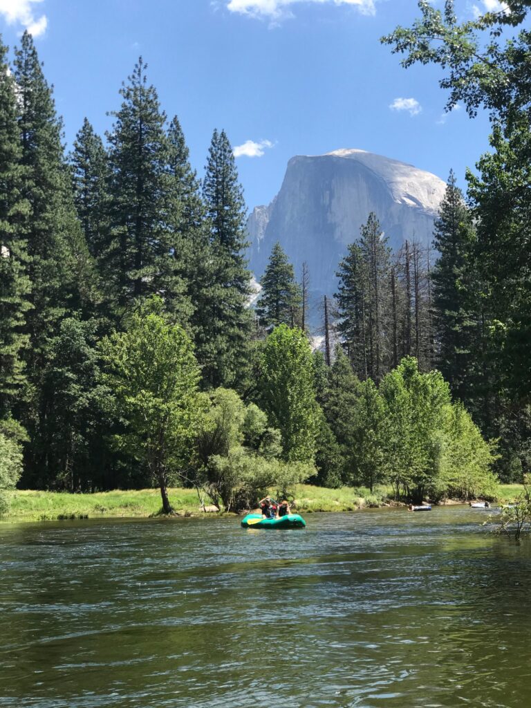
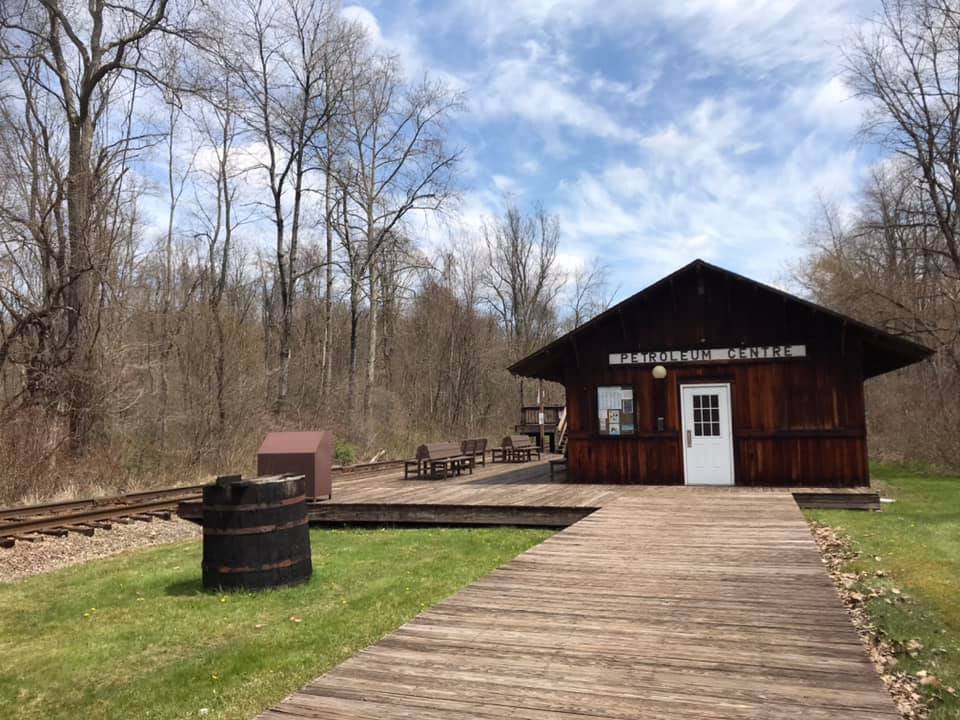
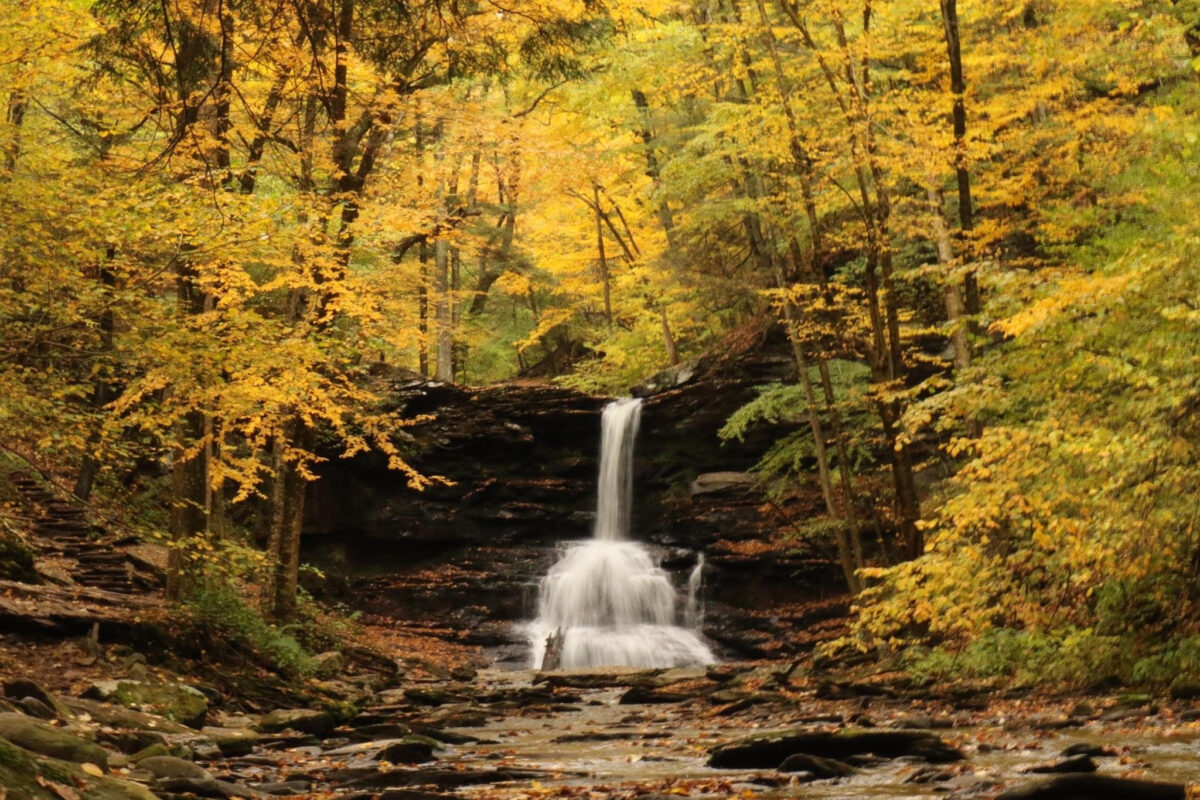
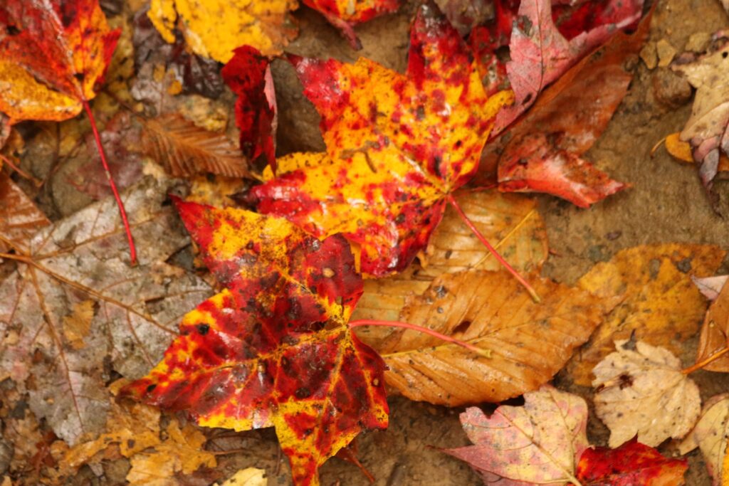
It was November 2020. We wanted a change of scenery for our Thanksgiving Holiday. We wanted to stay in-state, but see something new. All activities needed to be socially distant and close to the house we rented. Life was a bit……stressful! I wanted a break. Here is what we found to do.

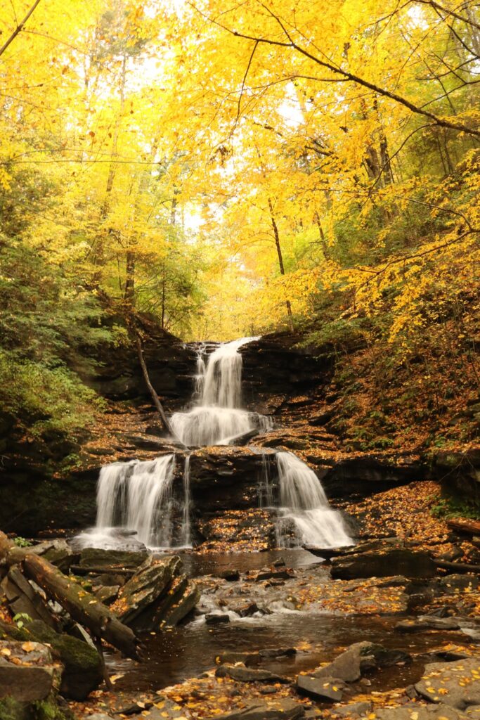
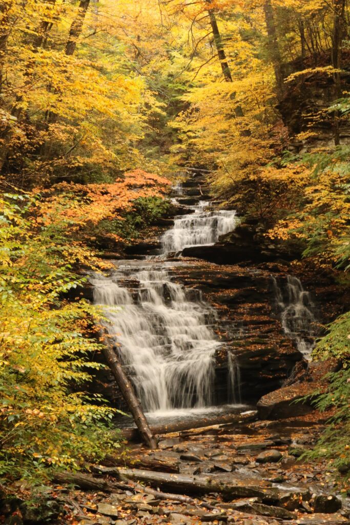
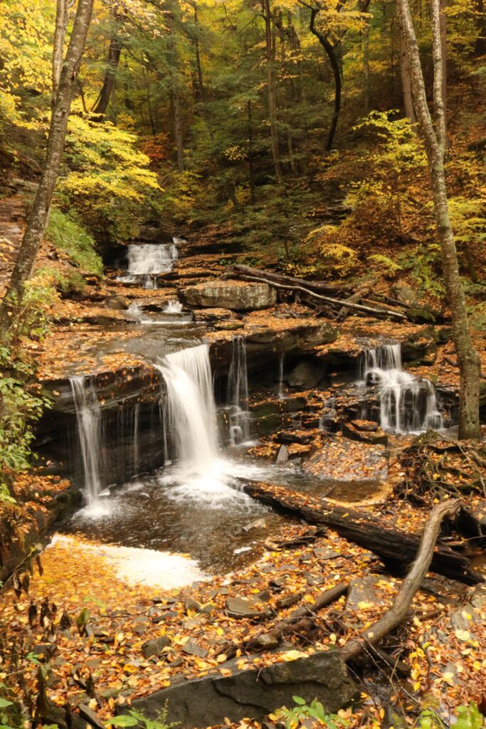
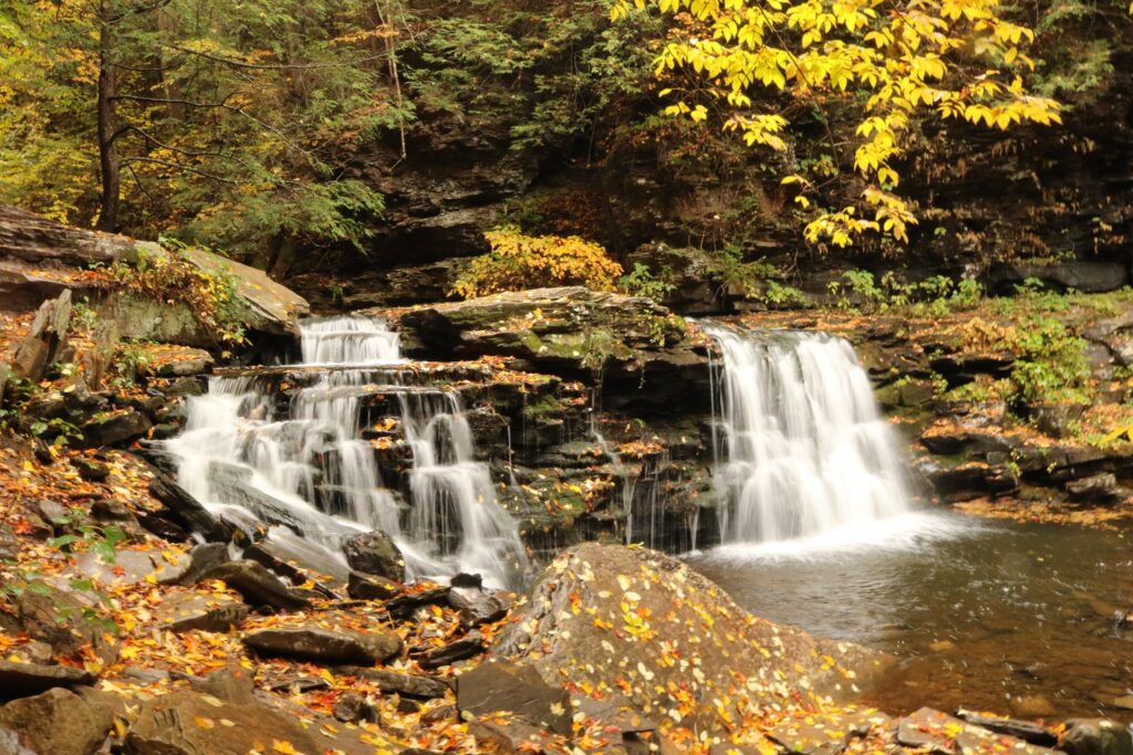
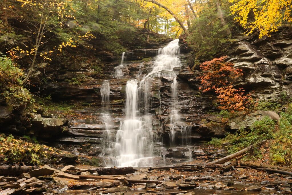
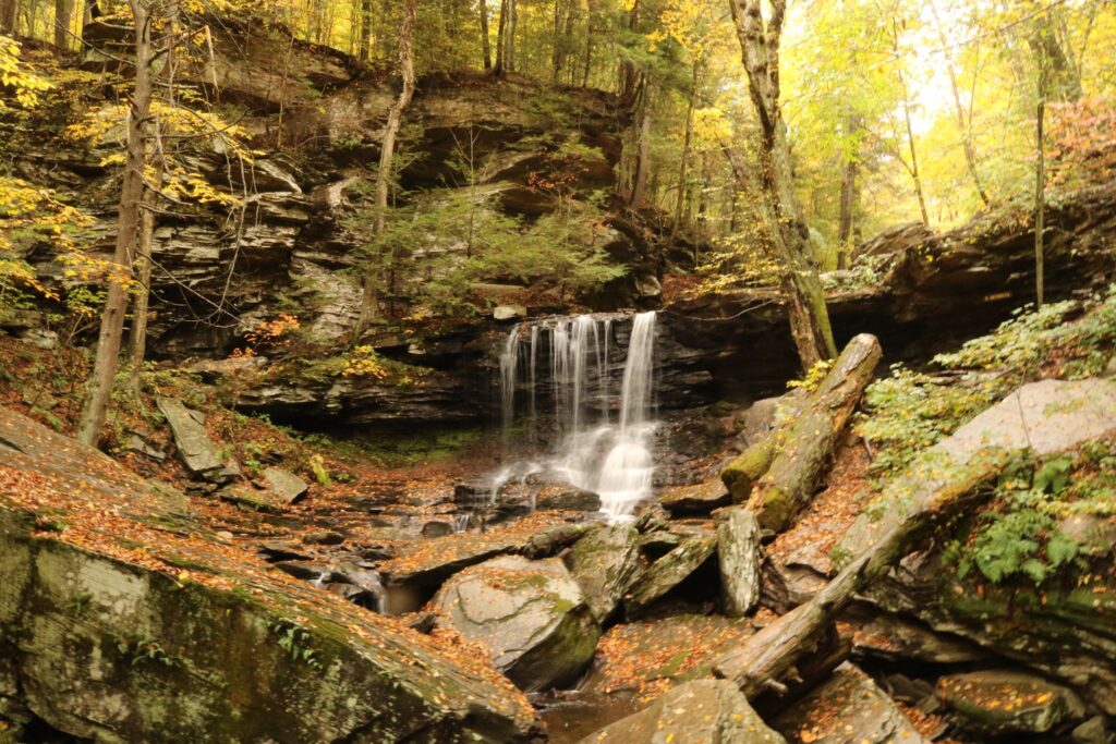
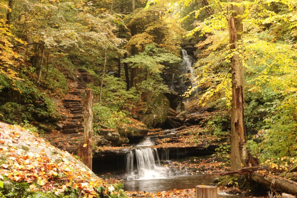
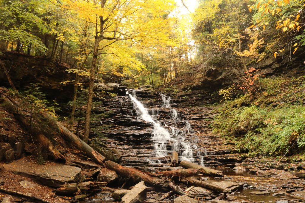
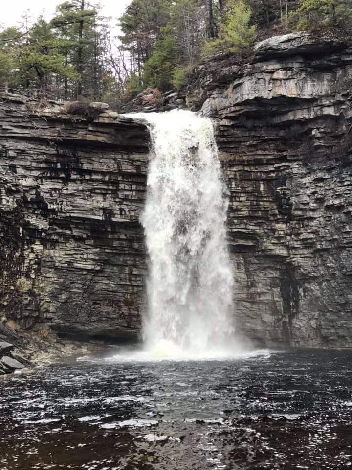
Day 1: 1st stop-Russell Brook Falls

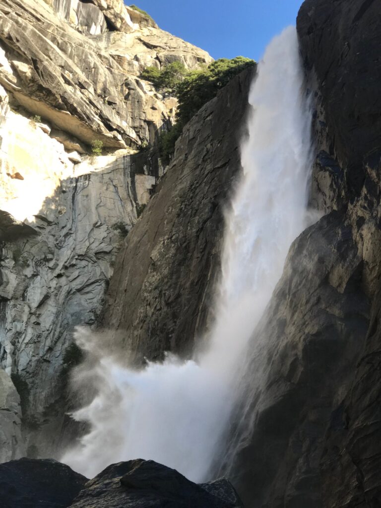
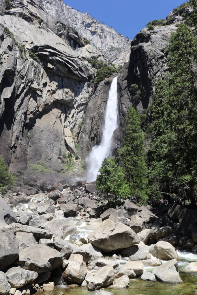
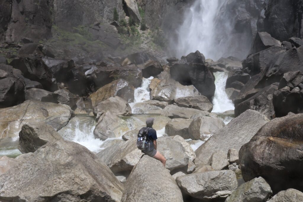
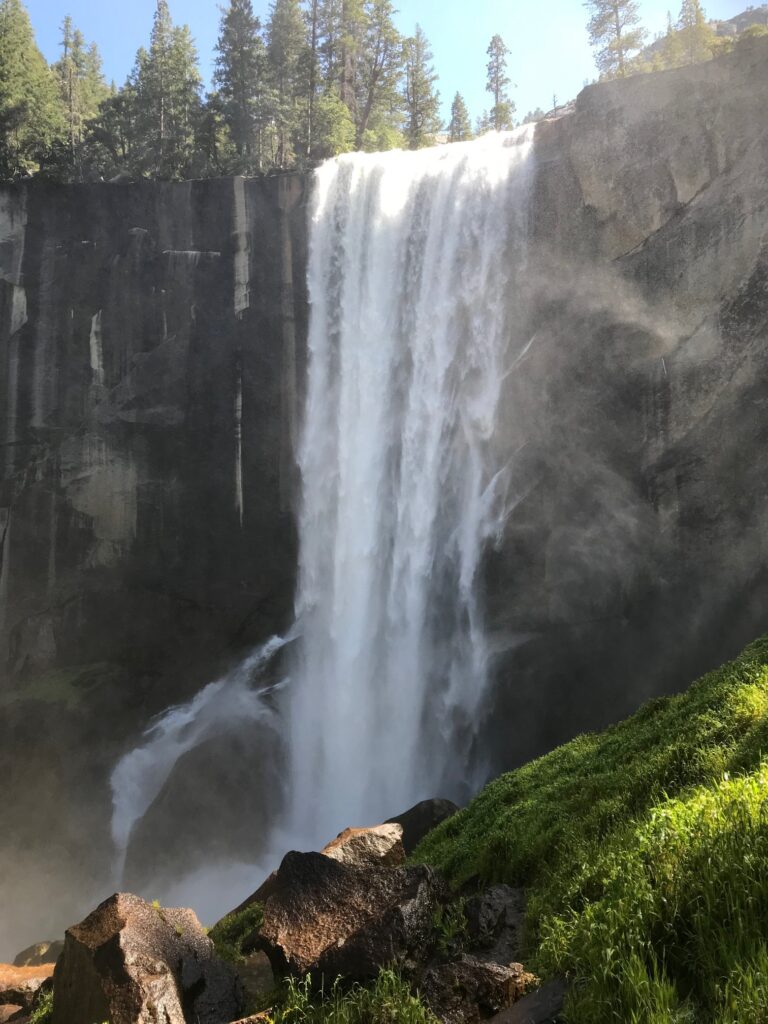
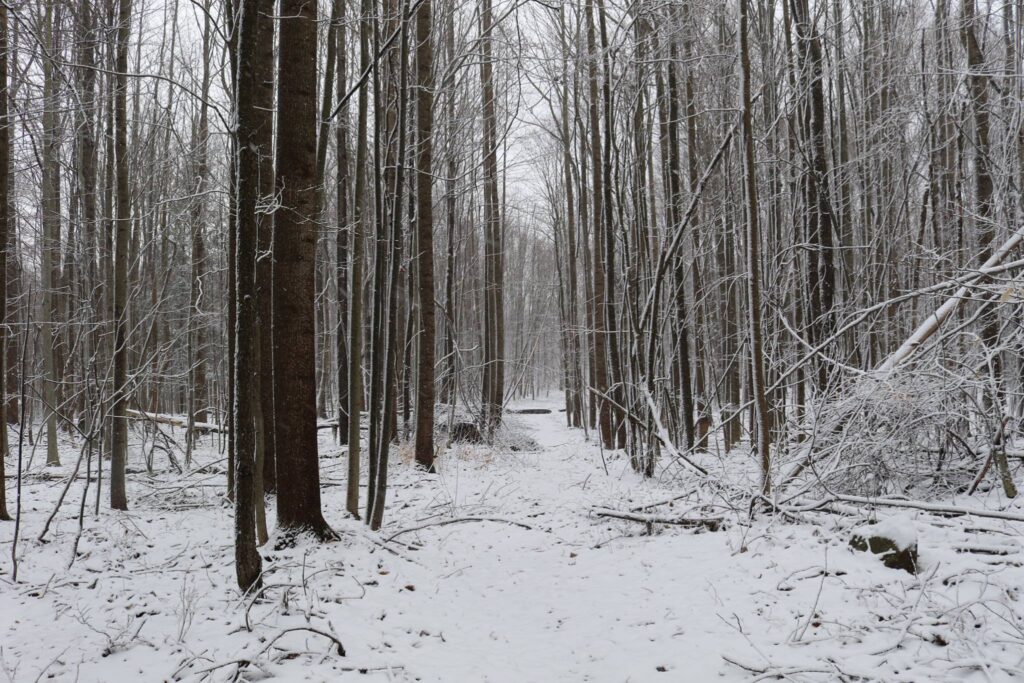
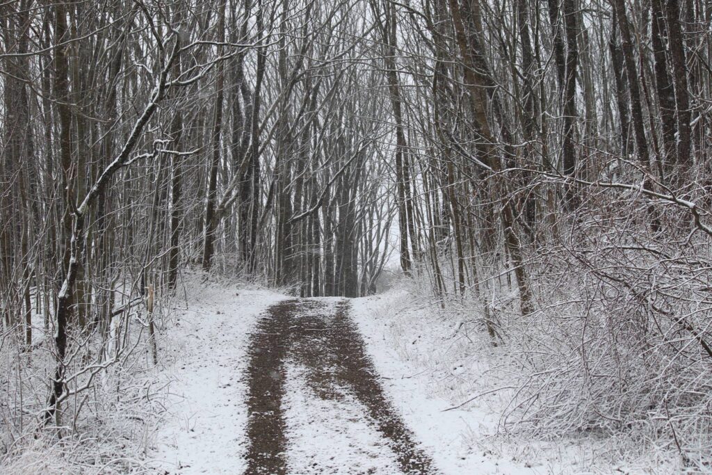
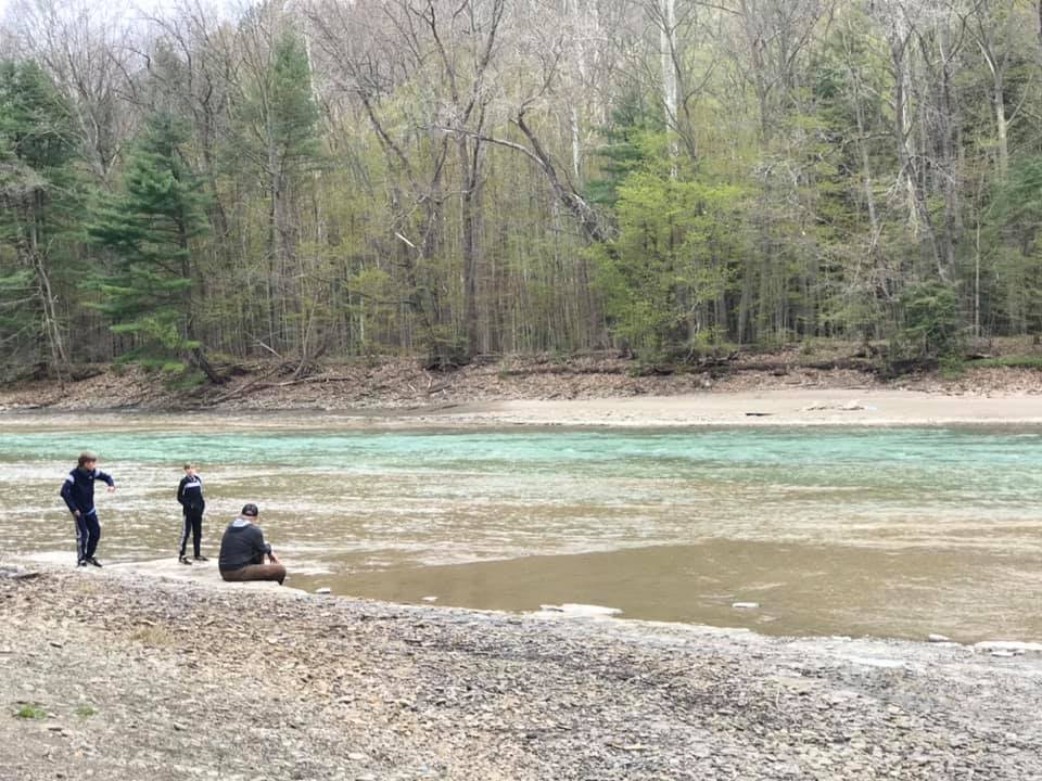
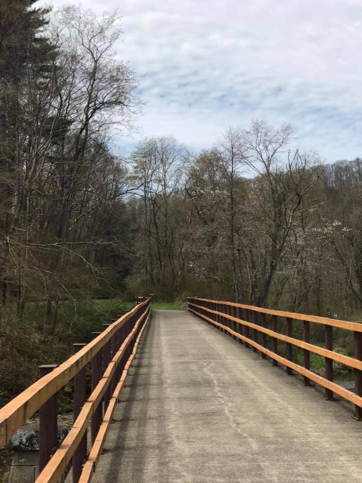
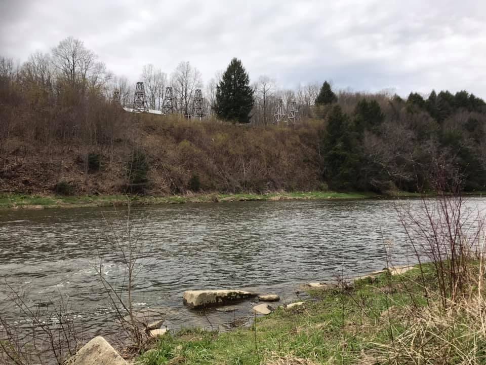
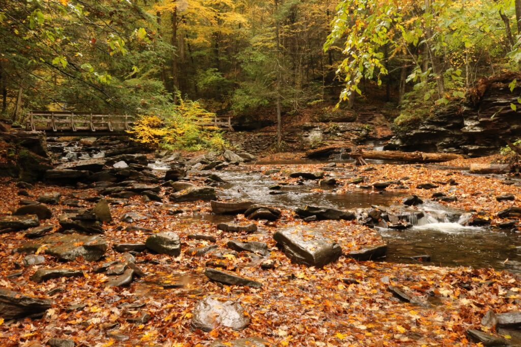
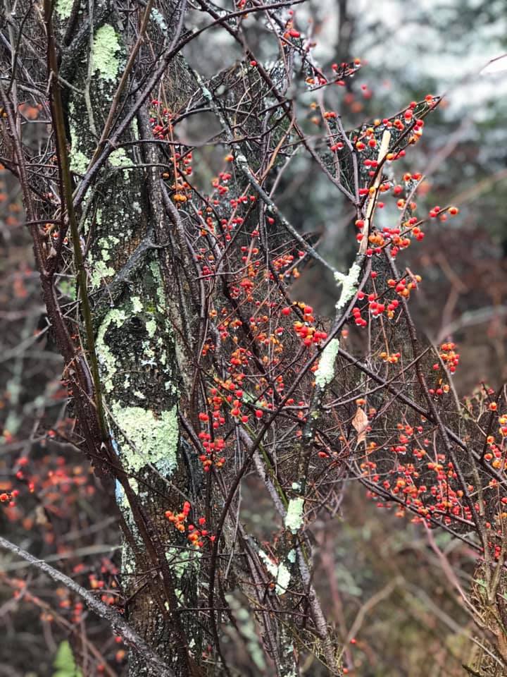
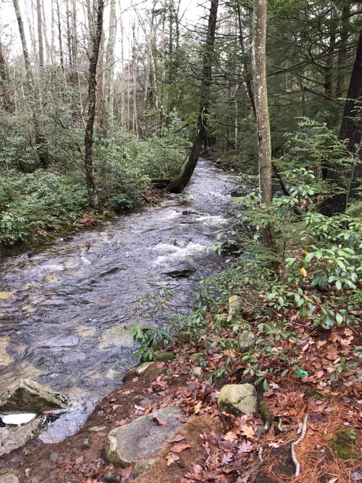
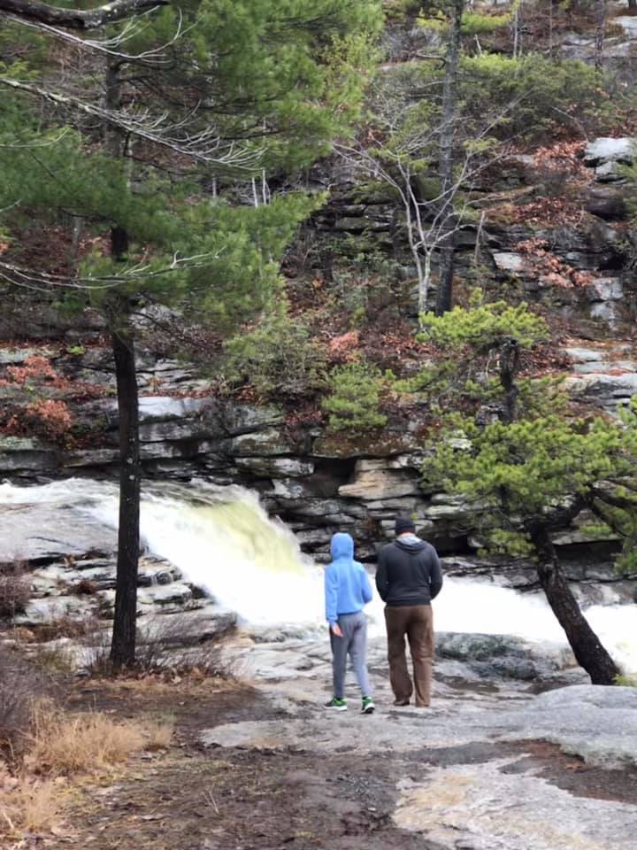
To break up the drive and make the most of the daylight, we stopped in Roscoe NY and took a quick detour to Russell Brook Falls. After a short drive down Russell Brook Road, there was a small parking area on the right.

Drive down Russell Brook Road

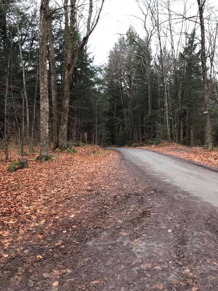
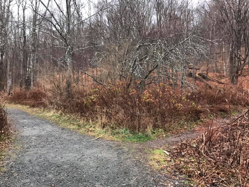
From the parking area, it was a short walk to the falls. First, cross a bridge and then take the right at the fork to go directly to the falls. A map at the trailhead gave suggestions for longer hikes around Trout or Mud ponds if one had more time and wished for a longer hike.

Take the less traveled path to the right to access Russell Brook Falls.
Russell Brook Falls

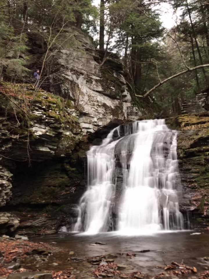
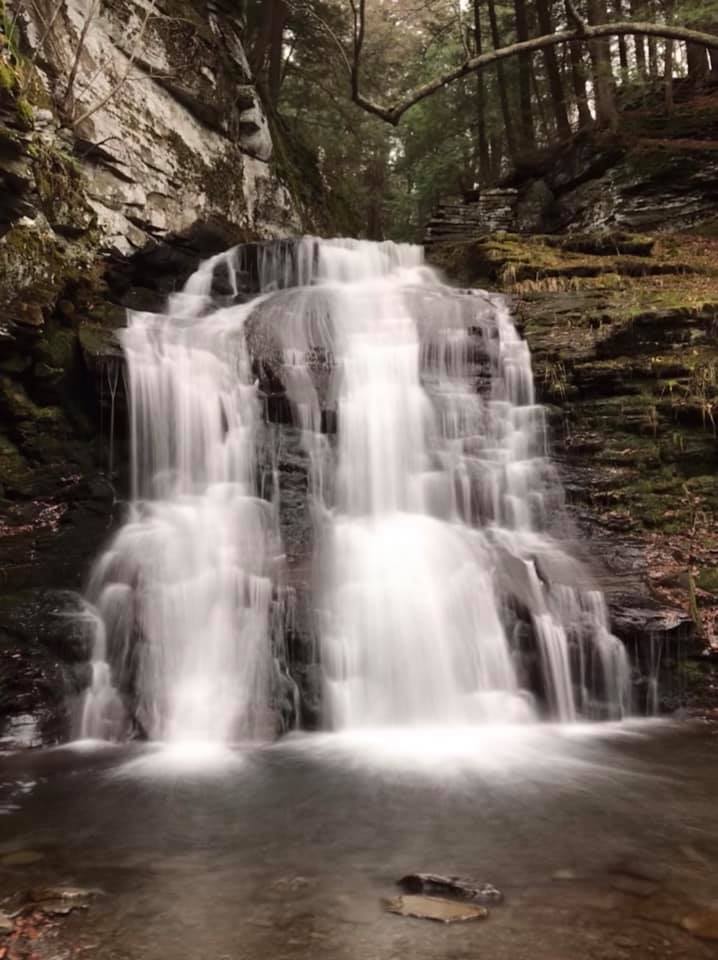
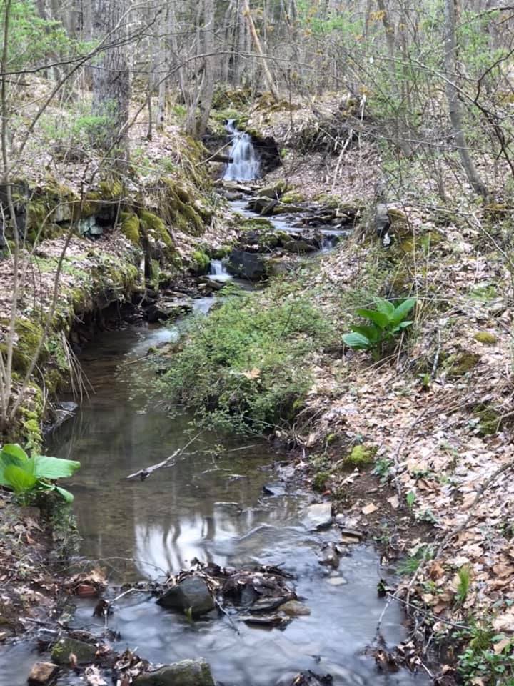
We spent 20 minutes or so admiring the falls before getting back on the road. It was a blissful moment of calm.

Day 2: 1st stop-Mohonk Preserve

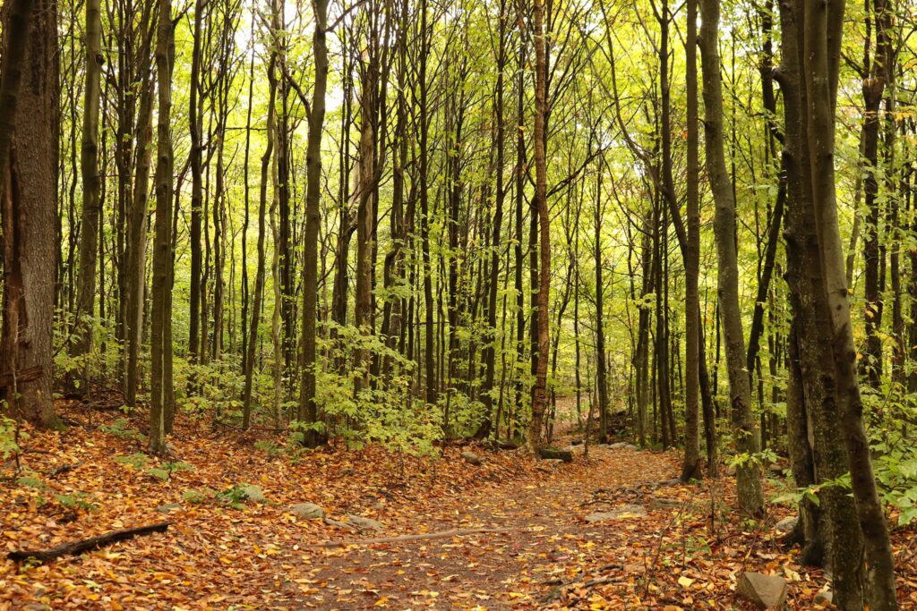
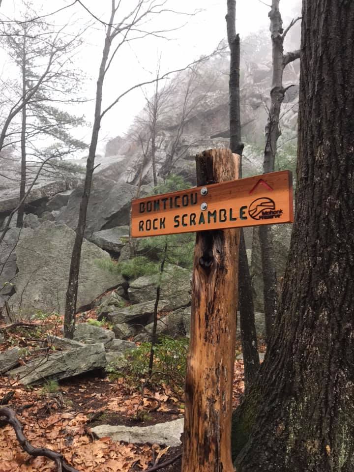
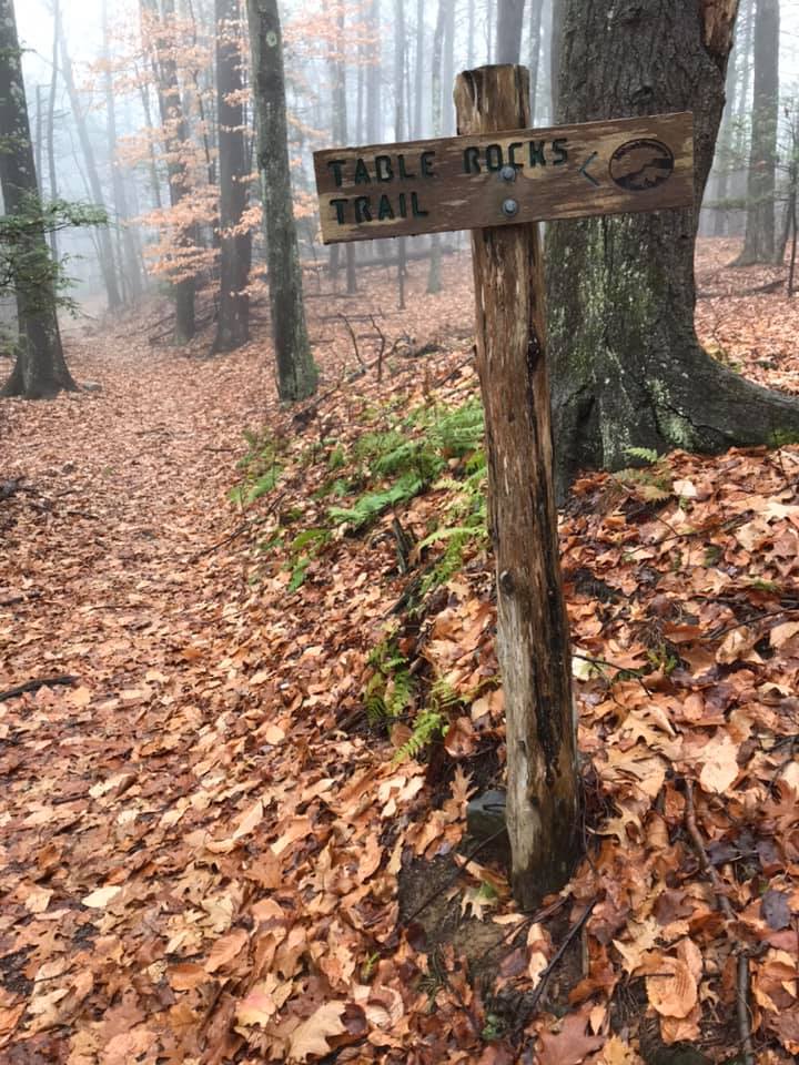
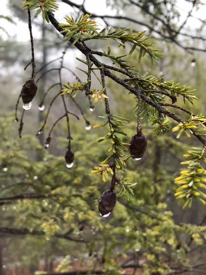
I wanted to do some hiking. I always want to do some hiking. The kids wanted to sleep in. So my husband accompanied me to the Mohonk Preserve just after dawn, on a rainy morning, so I could get in a hike I have been wanting to do. I recently picked up the book America’s Best Day Hikes by Derek Dellinger. I agreed with a lot of his choices so I thought I would follow his recommendation and check out the Bonticou Crag and Table Rocks trails in the Mohonk Preserve.

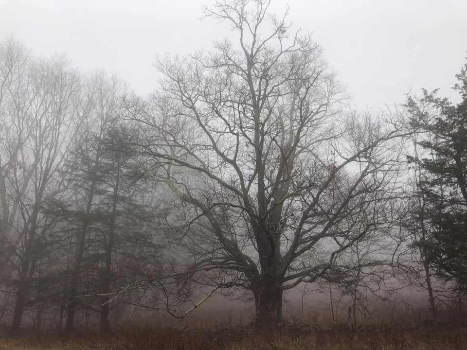
We parked at the Spring Farm Trailhead. It was still pretty foggy, but the trails were peaceful this early in the morning.

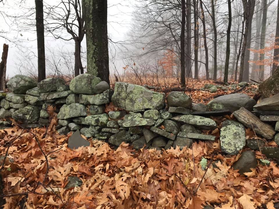
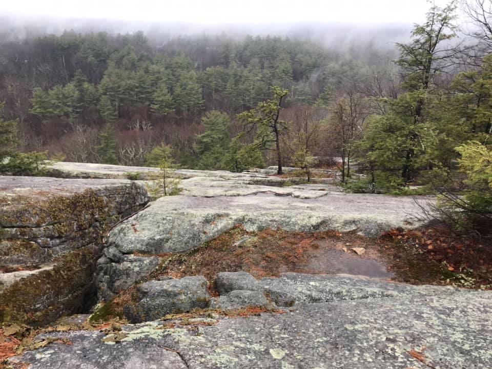
We crisscrossed several old carriage trails before arriving at the Bonticou Crag spur trail. As it was still pretty damp, we decided that conditions weren’t appropriate for the rock scramble required and took the less rocky Northeast trail followed by the Cedar trail to loop to the Table Rocks trail.

Lot’s of rocks and roots along the Northeast trail.

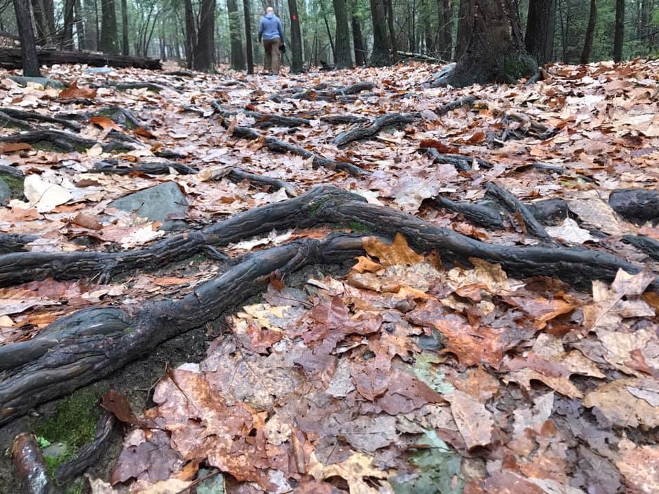
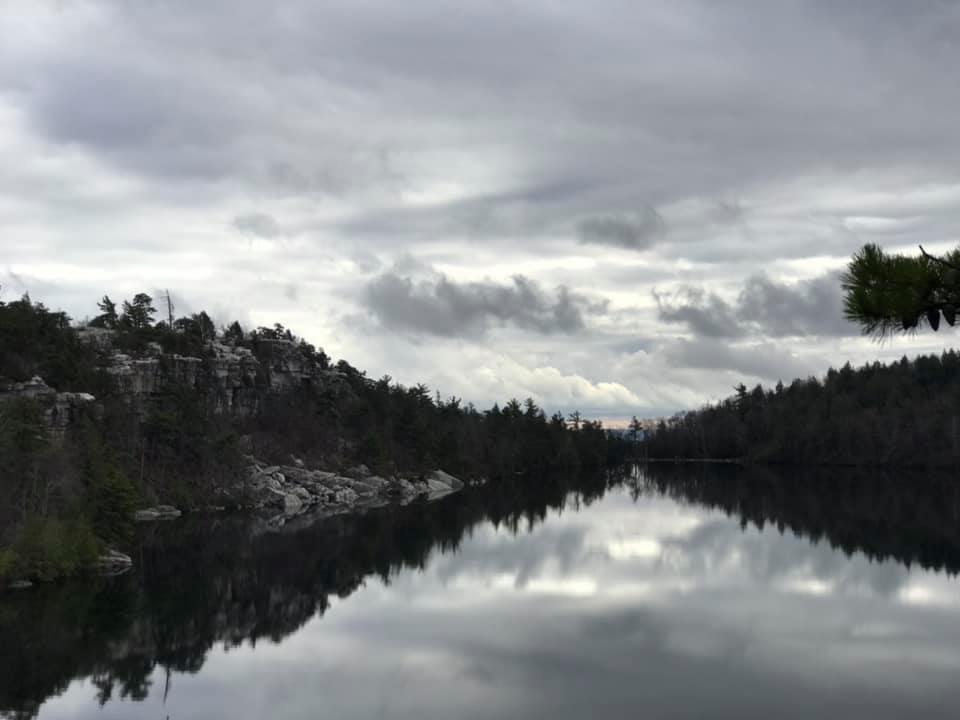
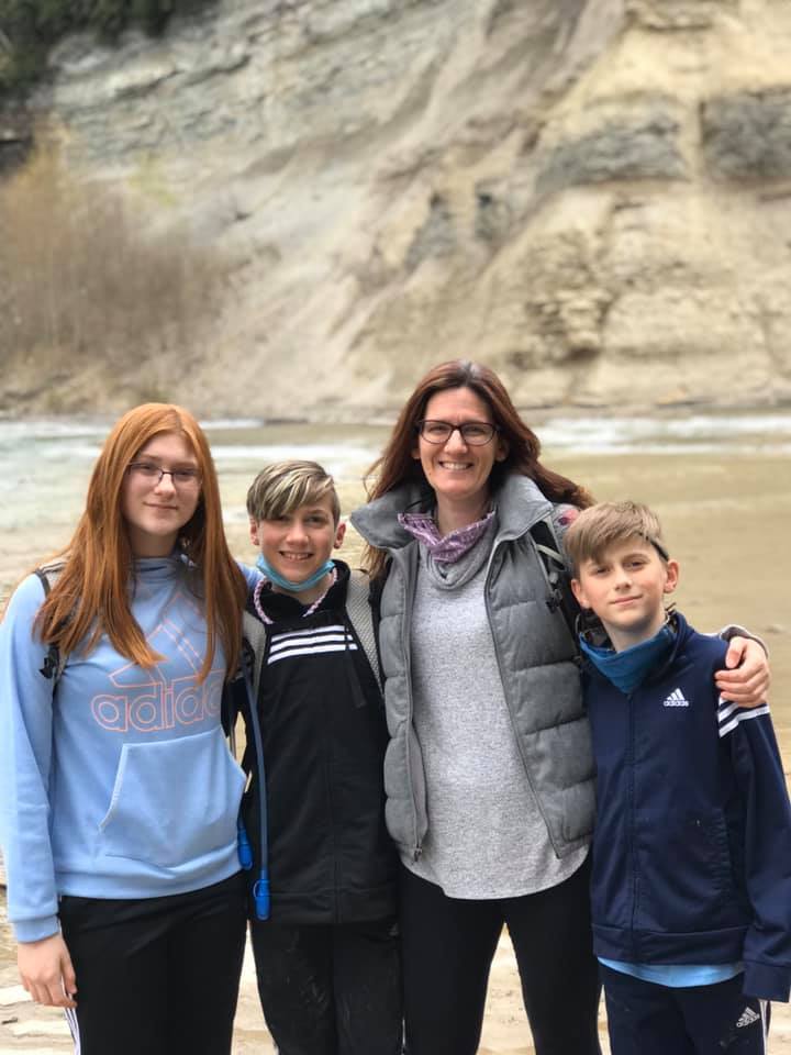
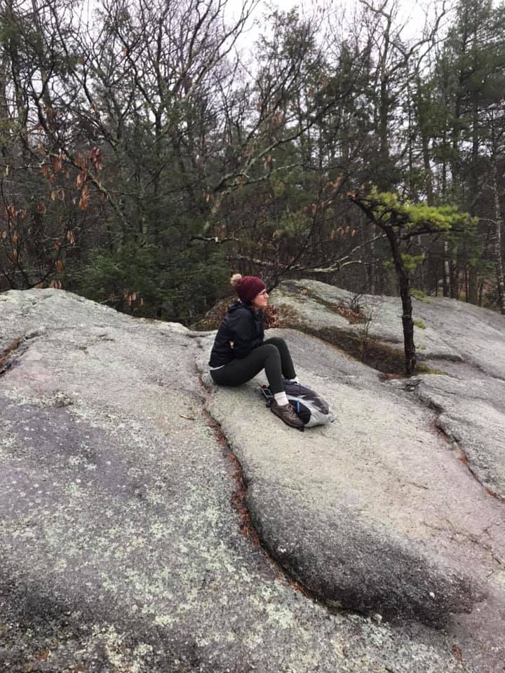
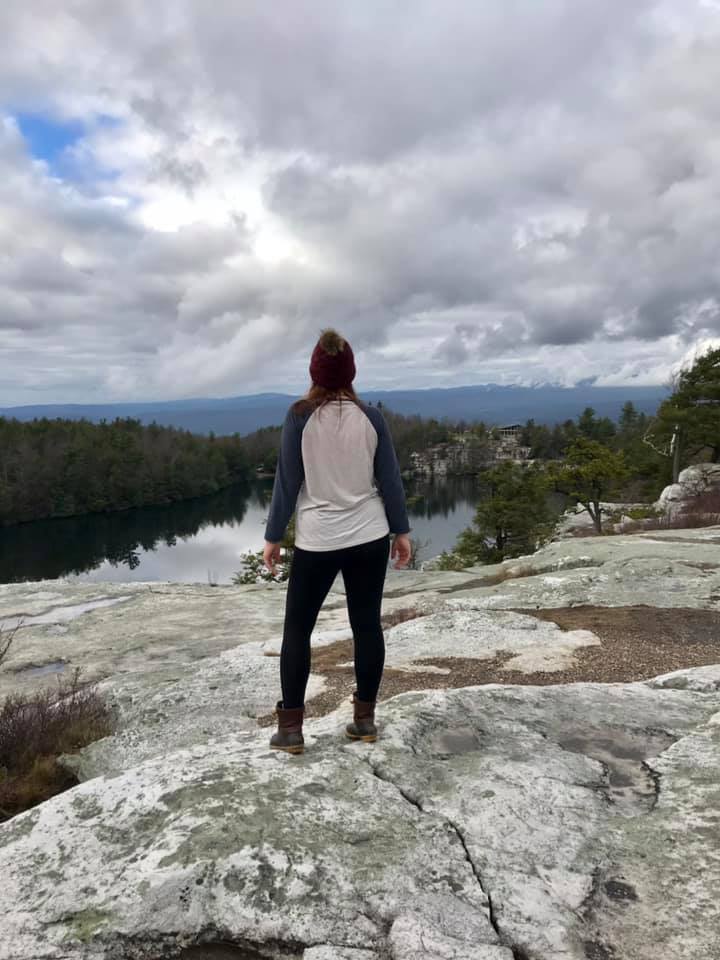
We were the only hikers on table rock. The solitude and quiet were calming. I sat for a long time and watched the fog lift and the water drip from the tree branches.

Table Rock

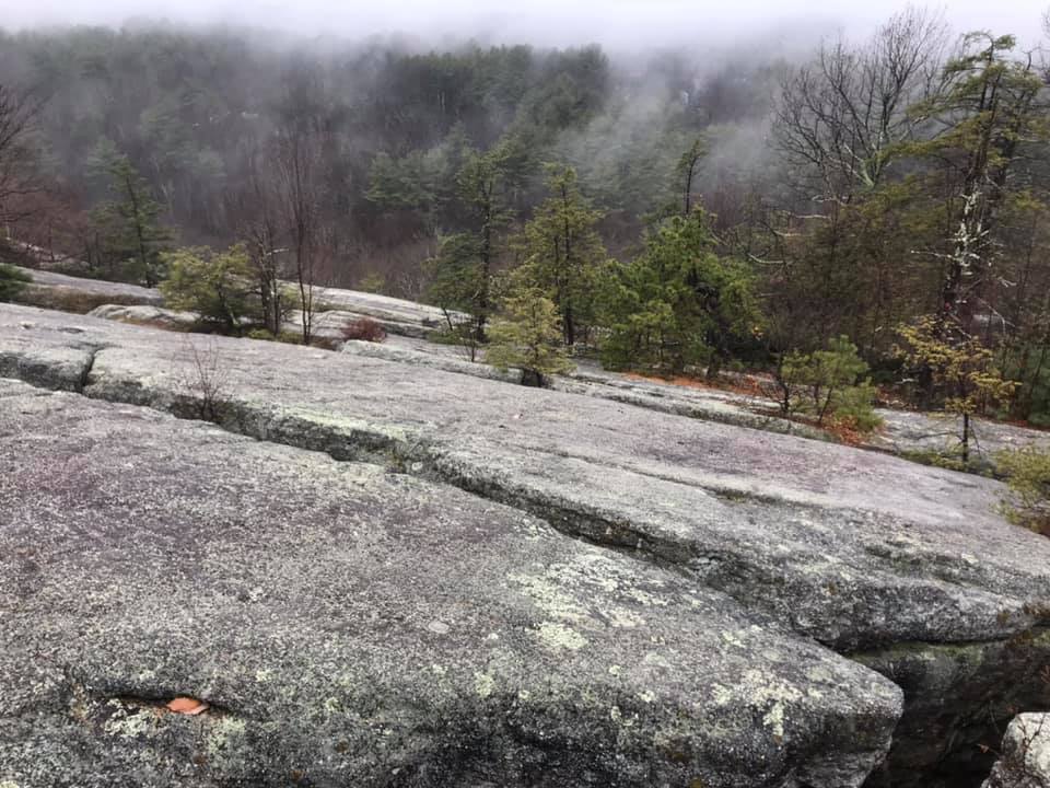
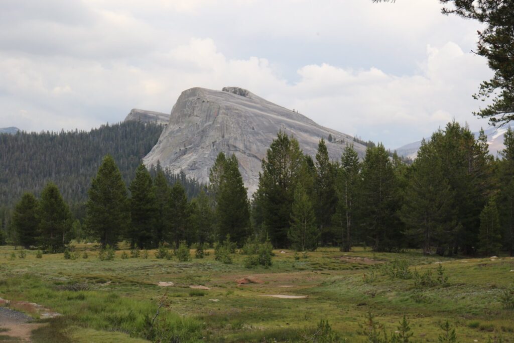
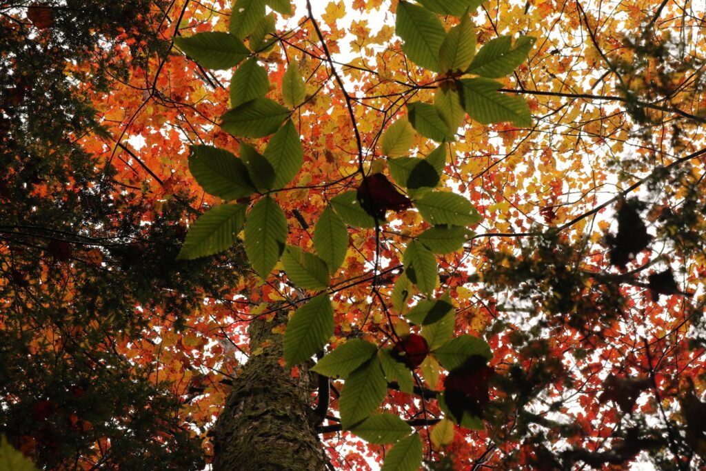
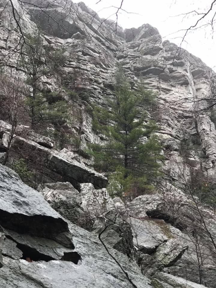
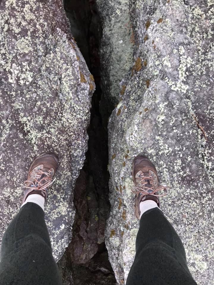
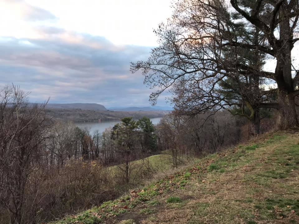
The Mohonk Preserve manages an 8000 acre portion of the Shawangunk Ridge, a northern end of the Appalachian Mountains. The ridge at this northern end is wide and flat with views on clear days of the valley below and the Hudson River. Table Rocks and Bonticou Crag, like other areas of the ridge consist of sandstone and conglomerate with a high concentration of quartz which gives these rocky outcroppings a very light grey color. The flat surfaces of Table rocks were also covered with a variety of different hued lichens. Table rocks had a lot of interesting, but potentially dangerous, deep fissures. I would not suggest this hike for families with young children.

Straddling a deep fissure in the sandstone conglomerate of Table Rock.

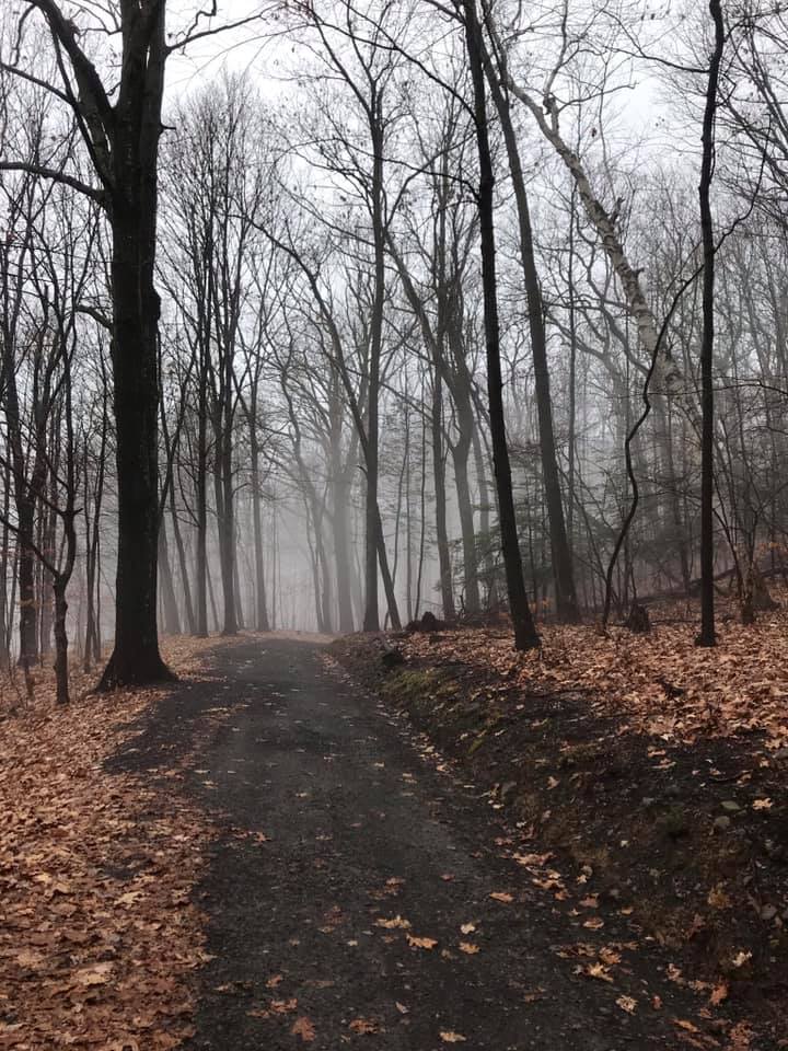
After leaving Table Rock, we retraced our steps as the sun came out and the sky turned blue. I hope to visit this area again someday in another season.

One last look at Mohonk Preserve as the morning sky turns to blue.

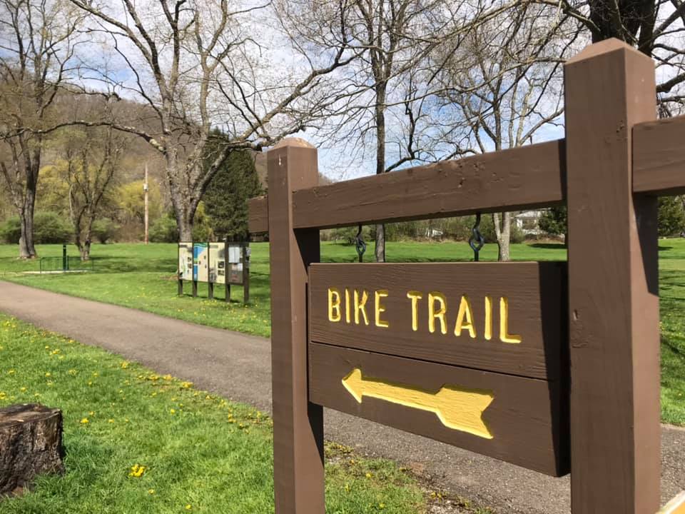
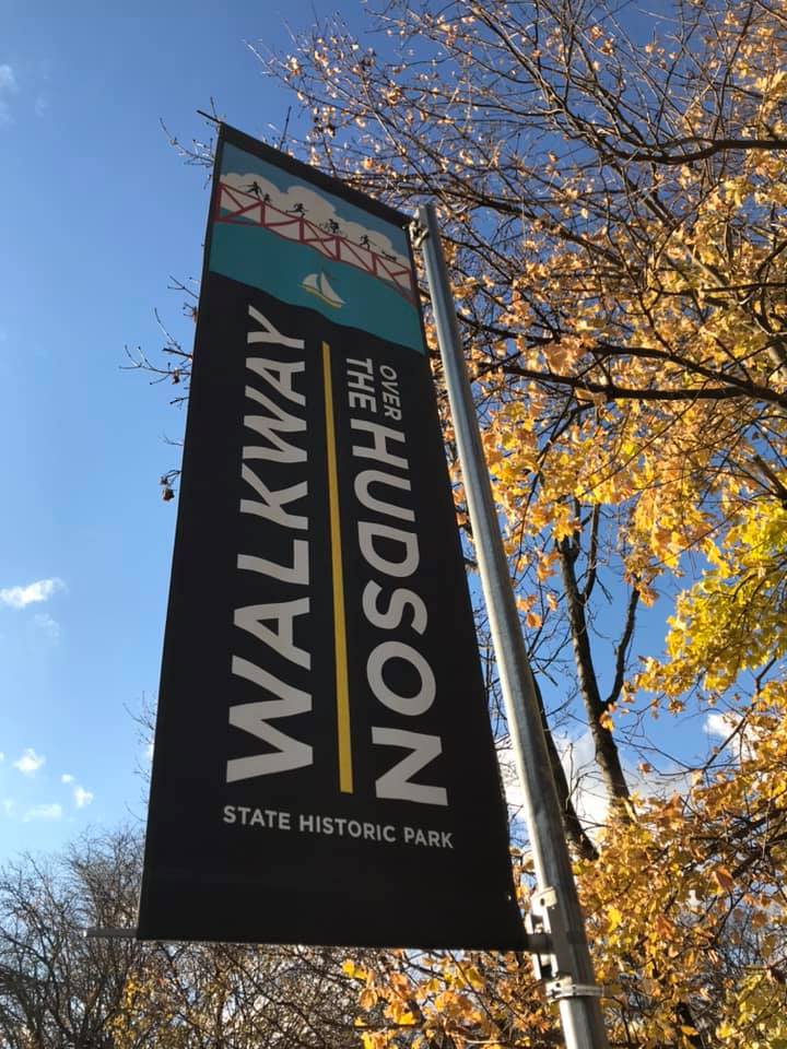
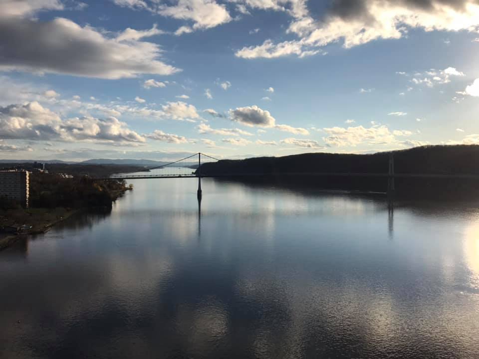
Day 2: 2nd stop-Walkway over the Hudson

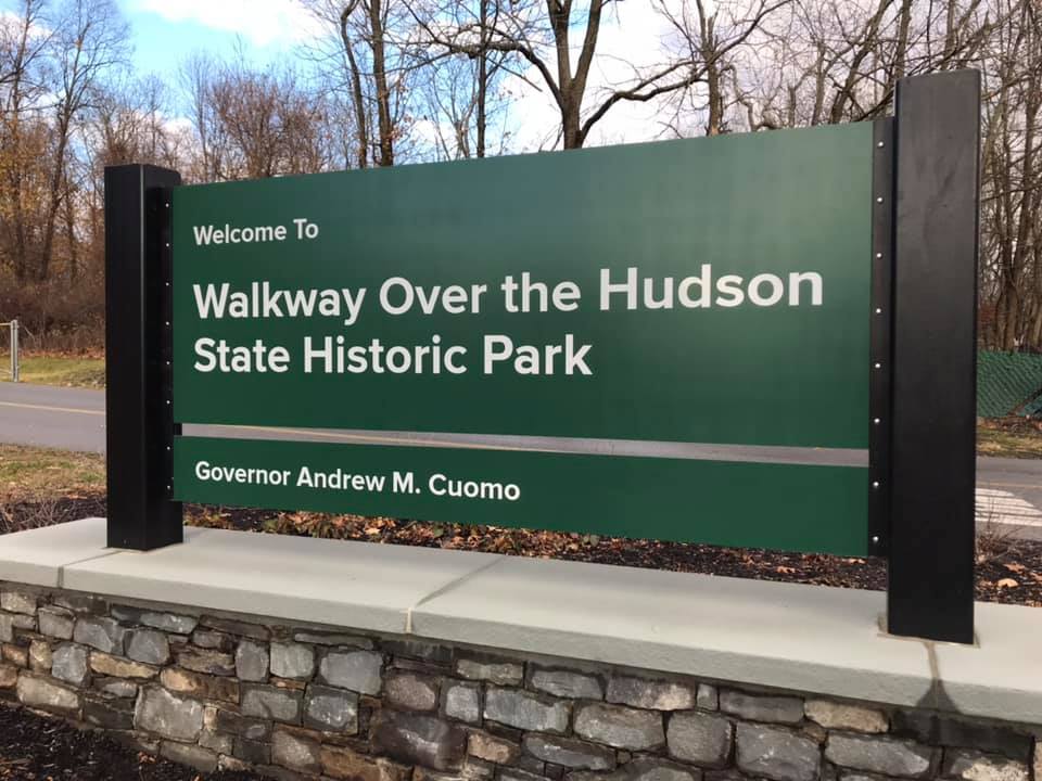
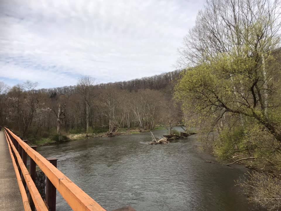
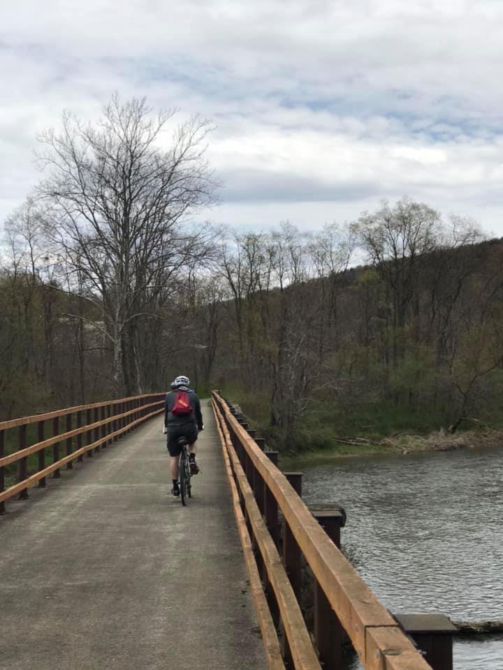
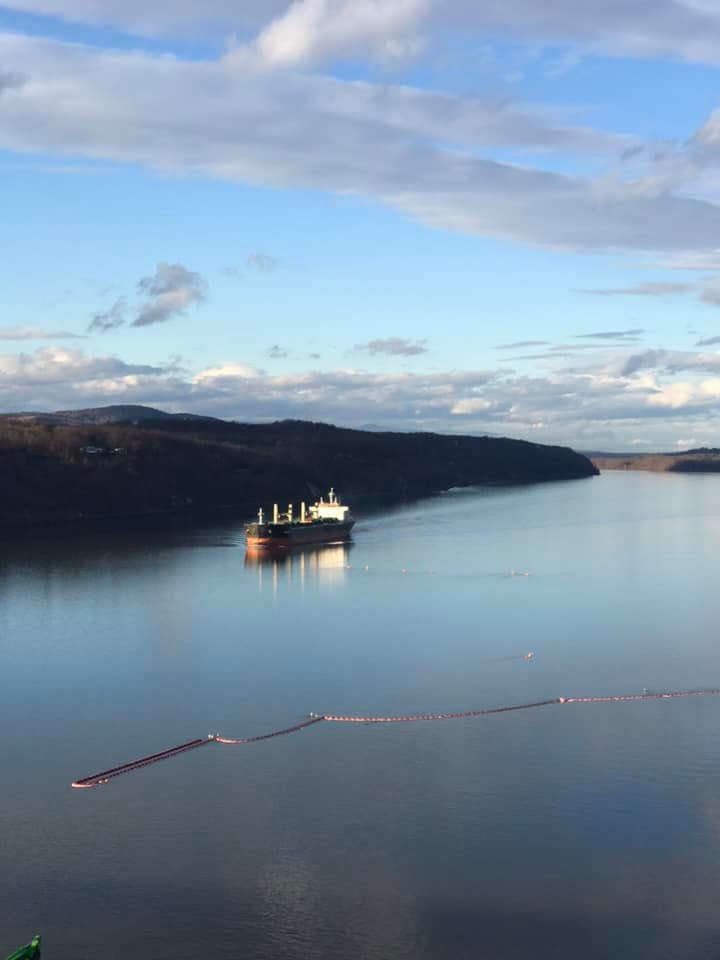
After an early dinner, 3 of us headed out to check out some sights around Poughkeepsie. The Walkway Over the Hudson sounded like a great place to stretch our legs and take in a view. There was ample parking nearby.

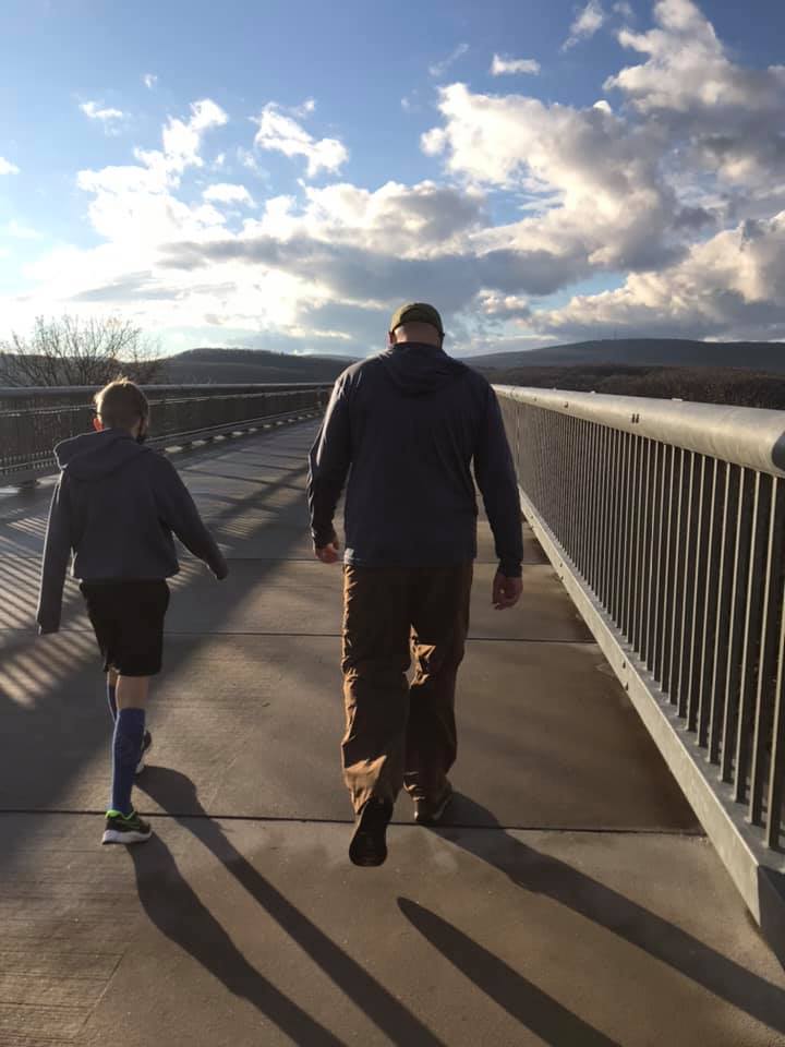
The walk from the parking lot to the opposite side of the river was about 1.5 miles with nice views along the way.

Looking north, up the Hudson River
Looking south, down the Hudson River

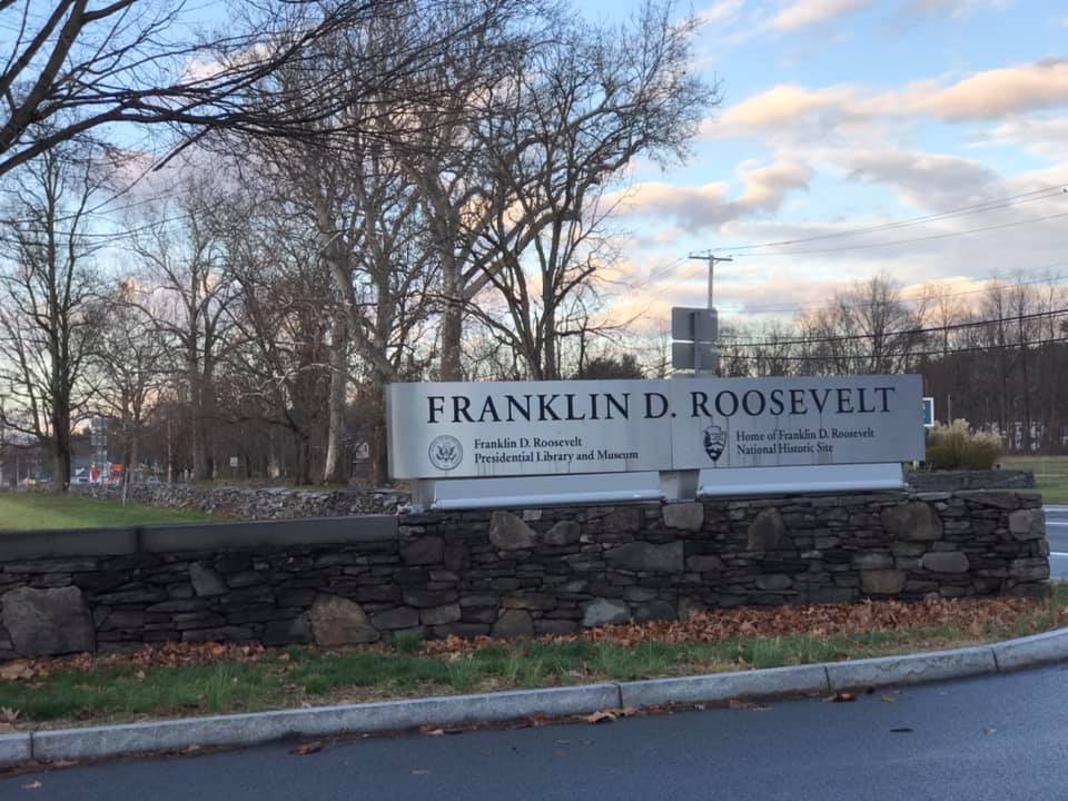
Day 2: 3rd stop-Home of FDR

This was a very quick stop to drive around the former president’s residence. If I were in the area again, I would love to tour the home, but this time we just snapped some photos of the exterior.

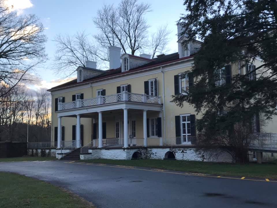
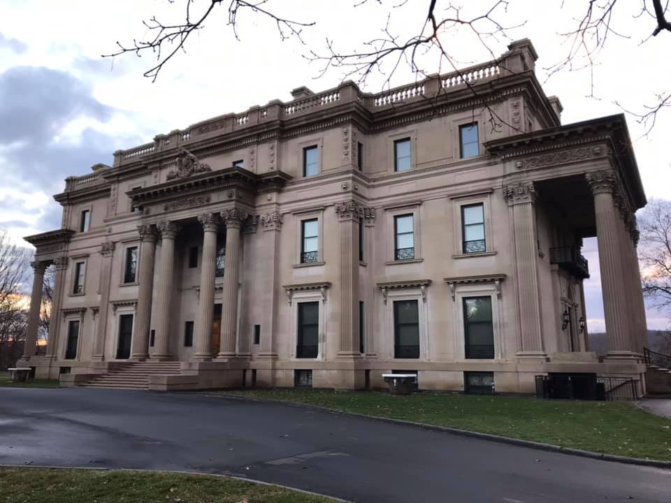
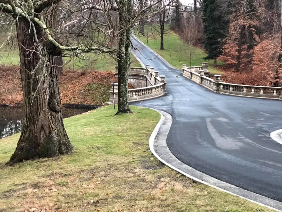
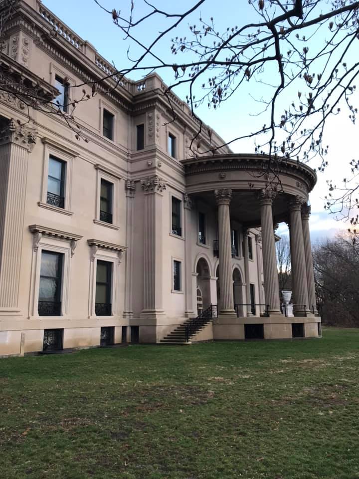
Day 2: 4th stop-Vanderbilt Mansion

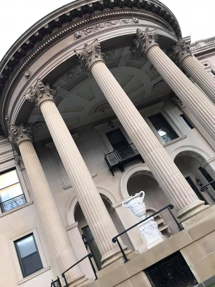
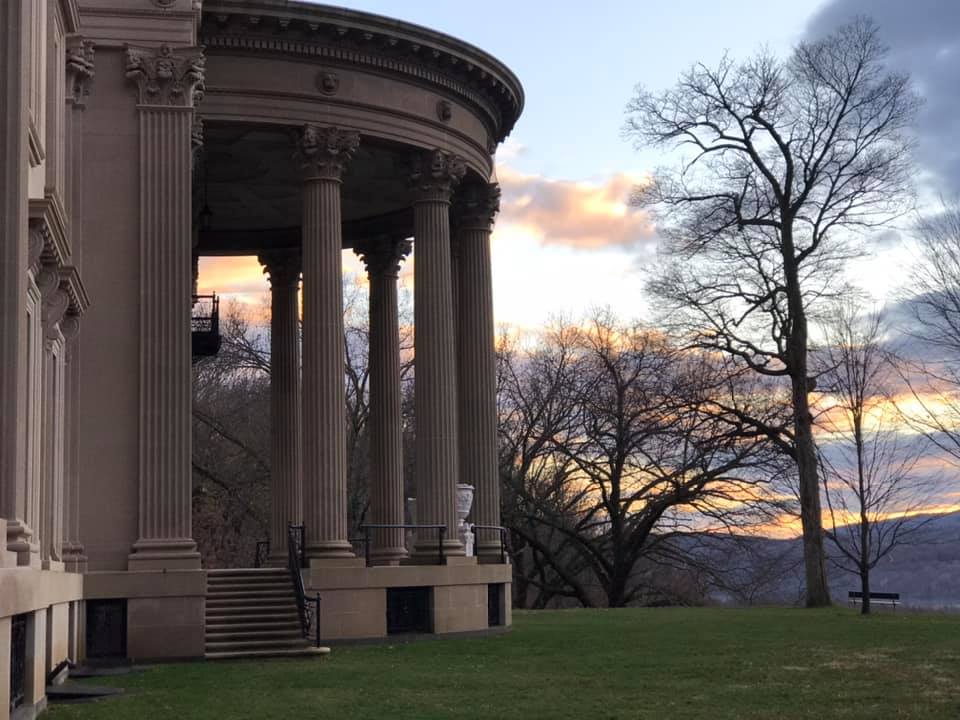
As with the home of FDR, we knew that the Vanderbilt Mansion was closed but the park-like grounds were open and VERY inviting. Instead of just snapping a photo and driving away, we walked the grounds as the sun set. It was really a very interesting home and a lovely end to the day.

Walkway leading toward the Vanderbilt Mansion

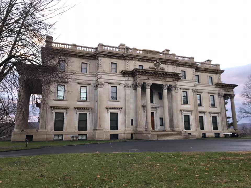
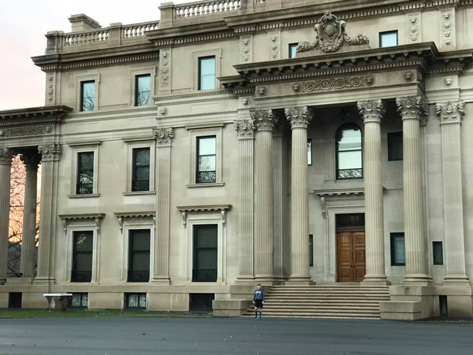
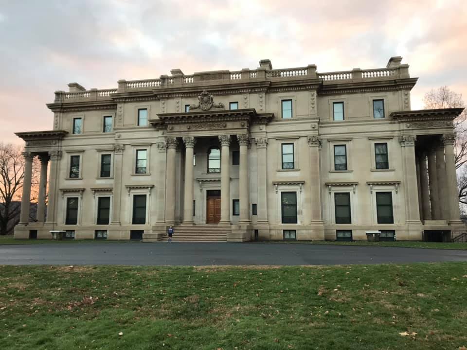
This Vanderbilt mansion was built in 1898 by the grandson of The American railroad magnate, Frederick Vanderbilt. Having no children, upon his death it went to a niece, who then passed it on to the National Park Service in 1940.

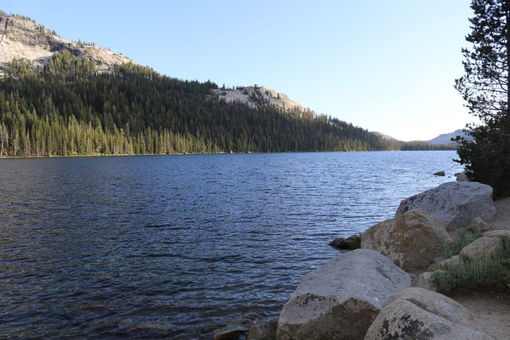
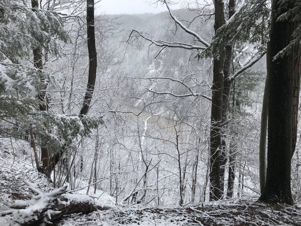
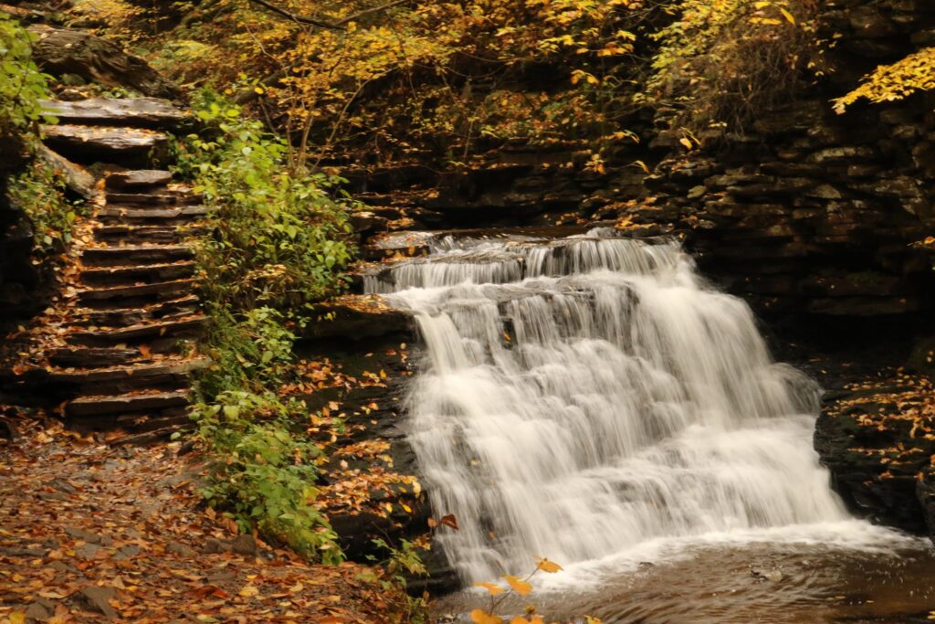
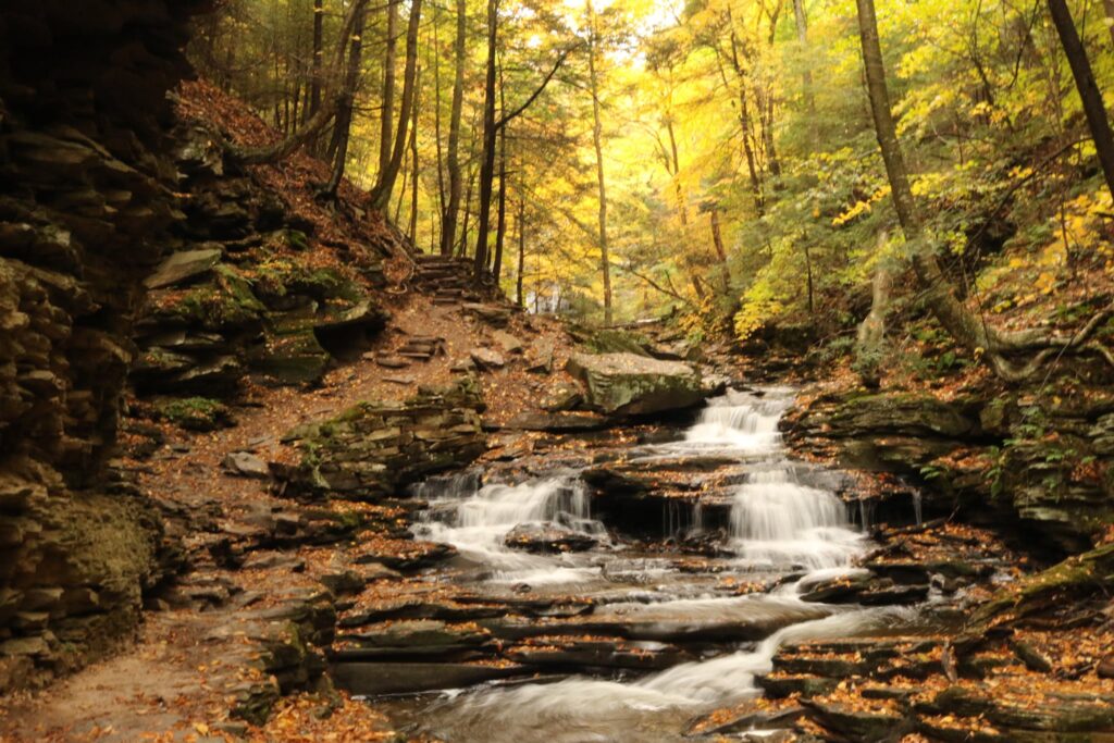
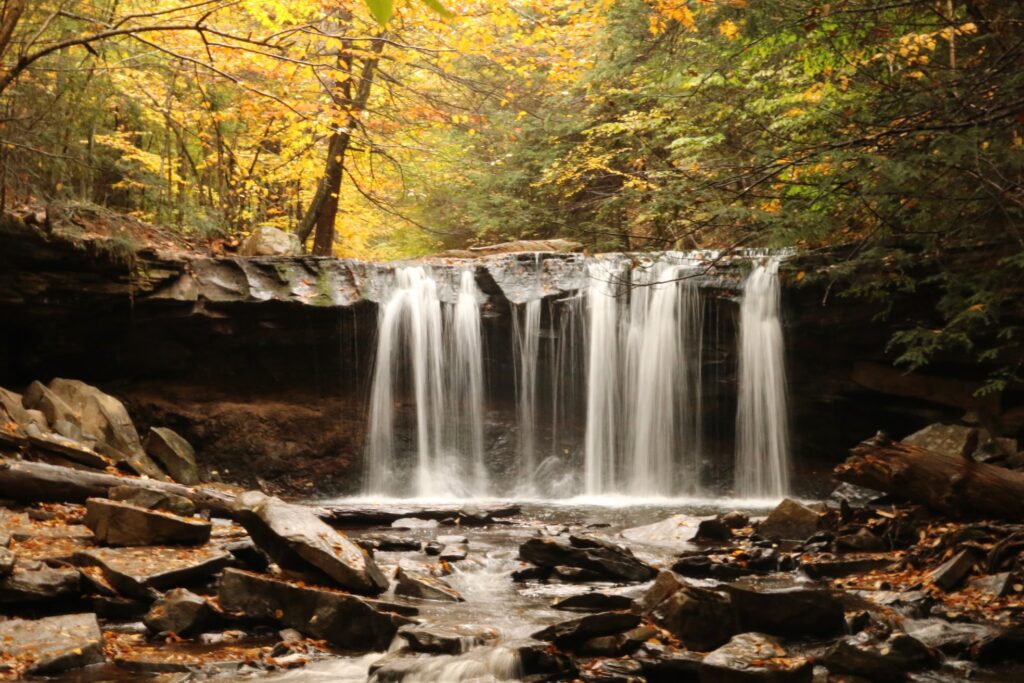
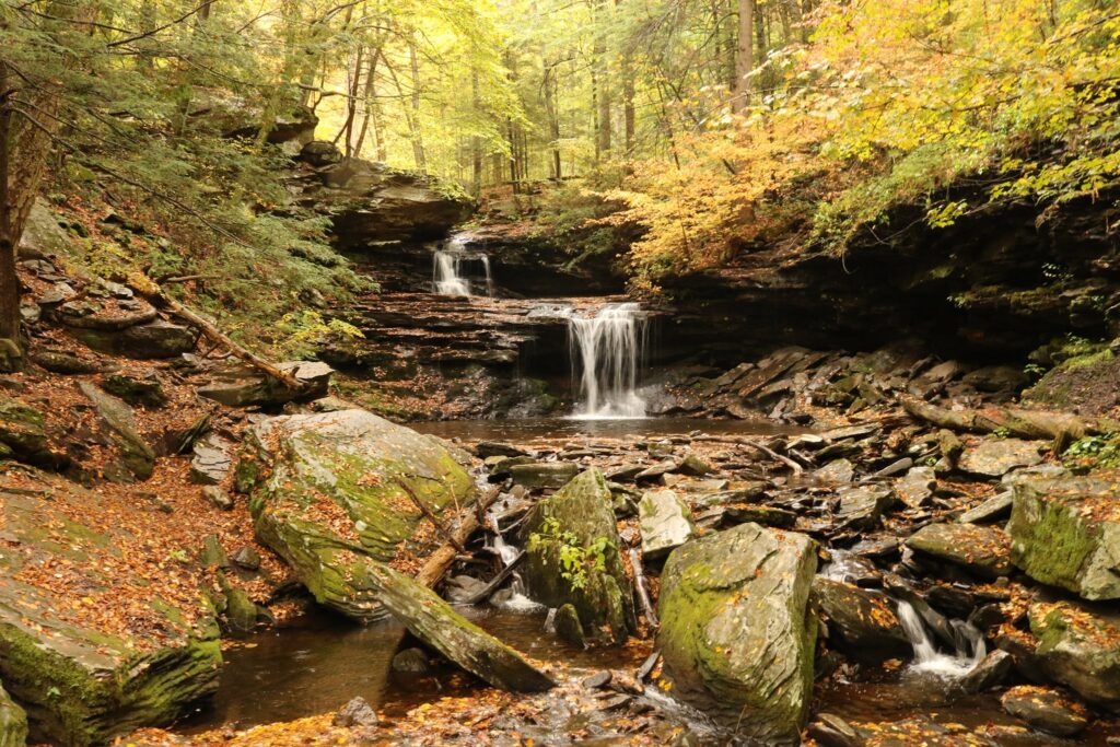
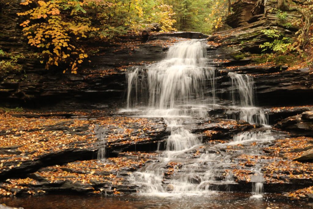
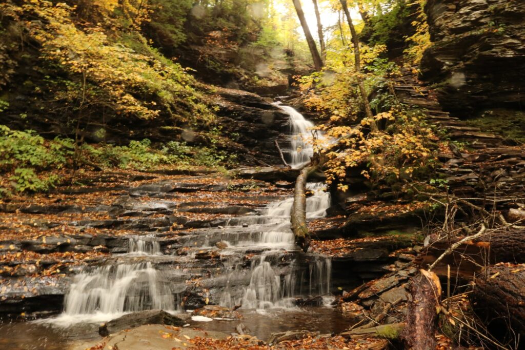
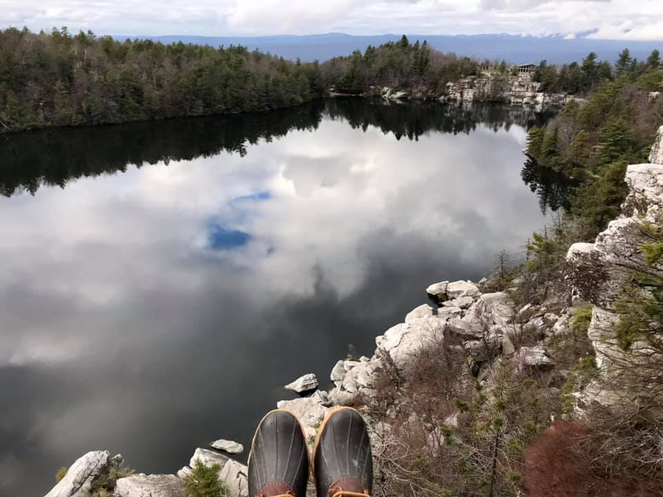
Day 3: Minnewaska State Park-Awosting Falls

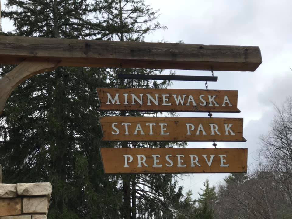
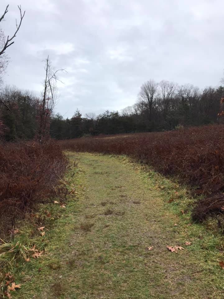
Heading back home, there was one more stop I wanted to make, Minnewaska State Park. This is definitely not a park to see all in one day. We decided to start with the Lake Minnewaska area, one of the park’s three sky lakes. Right after the entrance, was the parking area for Awosting Falls, so we stopped there first. The walk to the falls was half a mile on a paved trail.

The walk to the falls follows Peter’s Kill.
Green along the trail, even in November!
Top of Awosting Falls
Awosting Falls

After the walk to the falls, we drove into the park a bit and parked at the Lake Minnewaska Visitor Center for one final stop on this trip.

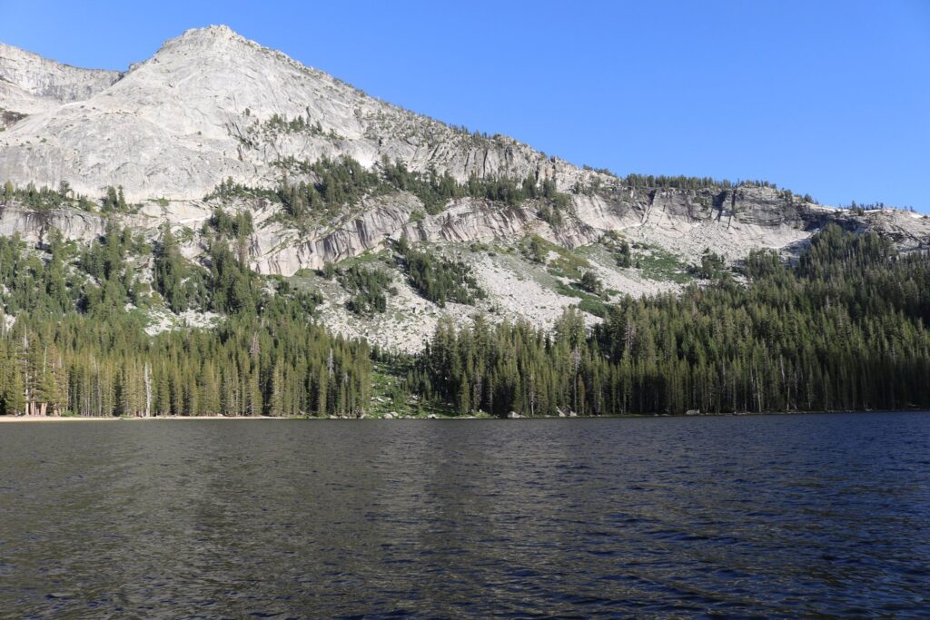
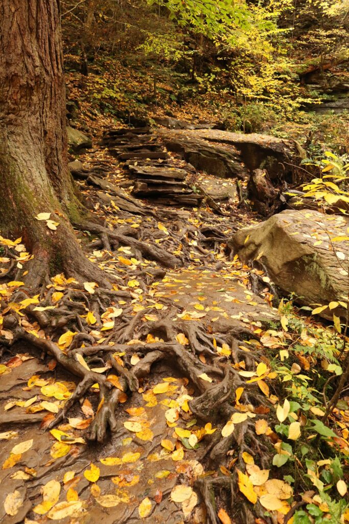
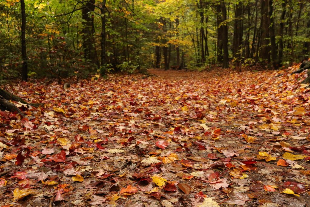
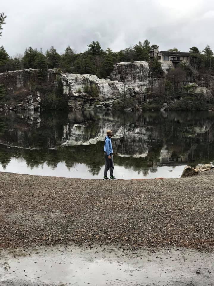
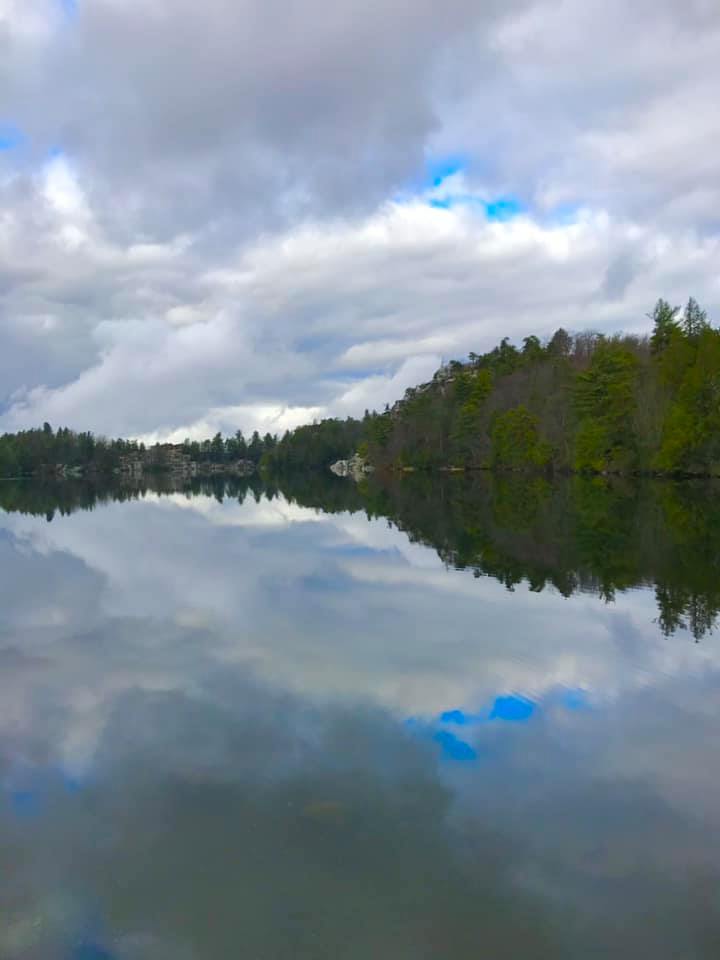
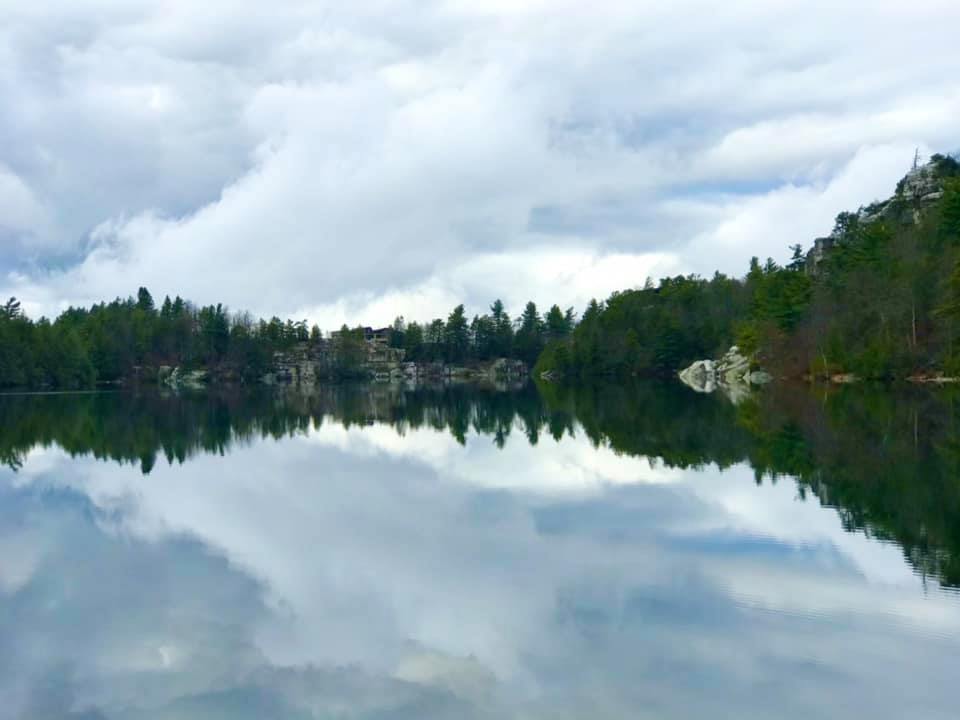
Day 3: Minneswaska State Park-Hike around Lake Minnewaska

Our first look at Lake Minnewaska from the visitor center.

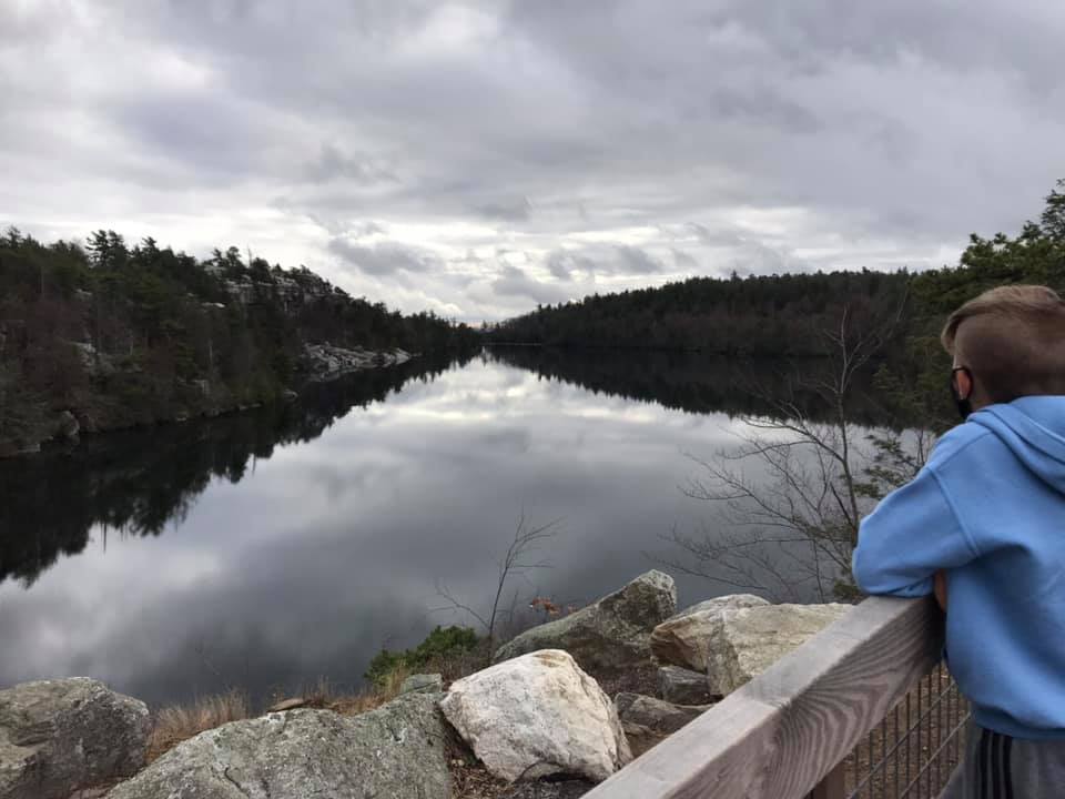
My youngest and I set off to hike the roughly 2-mile loop around the lake. We traveled counterclockwise from the visitor center and our first stop took us down to lake level to a little beach area.

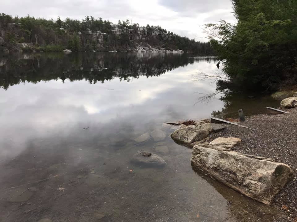
The half way point of the loop afforded beautiful views looking up the lake.

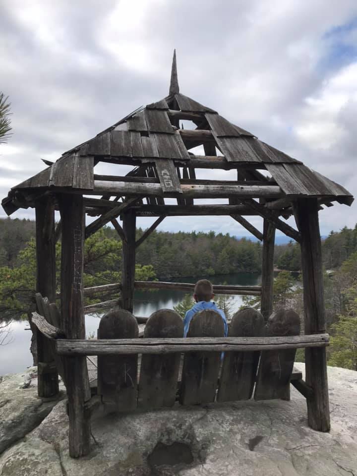
We climbed back up in elevation as we embarked on the second half of the loop. Once we were overlooking the lake again on its eastern side, the landscape flattened out and there was a picnic area with lot’s of great views.

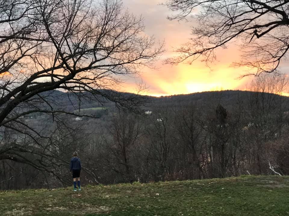
I took in the views, appreciative for this opportunity in a time of great uncertainty. It was time to head back home.

Letchworth State Park

Best State Park 2015 in the USA Today 10Best State Park Readers’ Choice Awards! That is pretty high praise. I am fortunate that this park in Castile, New York is less than a two hour drive from my home, so I have visited it more times than I can remember. It is gorgeous in any season, but a recent winter trip was absolutely magical.

The southernmost entrance was closed, so we entered the park on the western side at the Castile entrance. Once in we took the park road heading south and made our first stop at Archery Field Overlook. This overlook had nice views of the gorge and the Genesee River.

The next stop along the Park Road was Inspiration Point. Here you can see both the middle and upper falls in the distance. The snow-covered trees made me think we were in Narnia and the kids broke into a spontaneous snowball fight while I took photos of the gorge.

The view from Inspiration Point

I have been reflecting a lot on perseverance lately. There is no doubt that the water flowing over the falls is powerful, but from this vantage point, it is clear that it is not just the power of the water but the perseverance that has carved through this gorge over the years. It was a beautiful sight and a beautiful reminder of what continually moving forward does for us over time.

Once home again, I was eager to compare my photos of this trip with photos of the falls at other times of the year. It is no wonder that this is an award winning park, the scenery is delightful any time of year.

After Inspiration Point, the next stop was the main parking area of Middle Falls. In the summer, there are lot’s of people here, but on this winter’s day, we were almost all alone.

Top of Middle Falls

The upper falls view point is just a short walk along the Genesee River from middle falls.

Upper Falls

What a study in contrasts! There is a third waterfall, lower falls. It was not accessible on our last two trips, but hopefully the trail will be open again soon. More information can be found on the NYS parks website.

Lower Falls

If you are traveling across Western New York, I hope you get the chance to stop at Letchworth State Park. It is picnic perfect in any season.

Yosemite National Park

Lower Yosemite Falls

I have been to half of the national parks in the United States. From that list, I think Yosemite is my favorite, though that changes depending on what I am currently reflecting on! For 6 days and 5 nights in July of 2019, my family and I explored as much of this park as we could. Today I will share my favorite experiences from that trip with you, I hope that you have the chance to see it yourself someday and form your own impressions and memories.

Tioga Pass-Day 1

Yosemite National Park was the final destination on a longer trip through Northern California. We drove through the Sierra Nevadas once in order to make a stop at Lake Tahoe so to cross back over the mountains and arrive in Yosemite Valley, we entered the park for the first time at its eastern most entrance.

Our first introduction to Yosemite was the Tioga Pass and Tuolumne Meadows. One of my favorite memories is our first stop at Lembert dome. The area was nearly deserted, this was a pleasant surprise. I knew there would be crowds in the valley, I wasn’t sure what to expect in other areas of the park. On every national park trip I have taken, I have found a place all to myself to quietly enjoy. Lembert Dome did not disappoint. The kids stretched their legs, after being cooped up during the drive, by running up and down the dome. I sat and enjoyed the view.

View of Lembert Dome from the trail through Tuolumne Meadows.

The next stop along Tioga Road was Tenaya Lake. I would have loved to hike the 2.5 mile trail around the lake but we were racing the sun and wanted to save some daylight for our arrival in the valley.

We stopped one final time at Olmsted Point, named after the famous landscape architect. This was a low effort vista with incredible views of Half Dome’s northern side in front of us and Tenaya Lake behind us.

Our first glimpse of Half Dome from Olmsted Point.
View of Tenaya Lake from Olmsted Point.

As we turned from Tioga Road to Big Oak Flat and descended into the valley, we got our first view of the Merced River and Yosemite Valley. We checked off first sightings of Bridalveil Falls and El Capitan too before checking into our room at the Yosemite Valley Lodge as the sun set.

The Merced River with Bridalveil Falls in the background.
Bridalveil Falls
El Capitan

Yosemite Falls and drive to Glacier Point-Day 2

On our first full day, I was up early to walk to Yosemite Falls. At less than half a mile from the room where we stayed, I made this my daily routine. I loved getting there first thing in the morning when I had the falls all to myself!

The approach to Yosemite Falls, first thing in the morning.

After a day in the valley, we drove up to Glacier Point. A must see stop on the way is Tunnel View. The view of Bridalveil falls, Half Dome, and El Capitan forms the iconic image of Yosemite. Once above the valley at Glacier Point, the views of the valley below were amazing! The hike back down along the 4-mile trail is one of my favorite hikes of all time. You can read about that hike in another blog post here.

Tunnel View
View from Glacier Point
Close up of Vernal and Nevada Falls from Glacier Point

Biking in the Valley-Day 3

Traffic in the valley can become uncomfortably crowded in the summer. It is no fun to waste beautiful summer days in a car or bus. The valley is huge and even though we did walk from the lodge to Curry Village once, we found that the best way to explore the valley was by bicycle! Daily rentals are available at Yosemite Valley Bike Rental.

We get ready to head out on the bike trail right behind our building at Yosemite Valley Lodge.

After exploring the area around the lodge by bike, we picked up picnic supplies for a ride up to Mirror Lake. Our route was just under 4 miles to the lake. There is a point where bikes can be parked and the last leg uphill to Mirror Lake is walked. We ate our lunch, enjoyed the beautiful scenery, and then explored the lake.

The bike rental was for the whole day. It was a great way to maximize our time in the valley and avoid the crowds.

Floating down the Merced River-Day 4

This was the kids’ favorite activity from the trip! We met for a safety talk at Curry Village Raft Rentals, grabbed our rafts, and off we went! This is not a guided tour. You put in your raft of 2 or 3 people and float at your own pace, as fast or as slow as you like. You can stop at a sand bar along the Merced River and swim or relax in your raft and watch the scenery.

At the end of the trip, the raft company is there to help haul your raft out of the water and offer you a ride back to the starting point if you need it. This was a very relaxing adventure.

Exploring Wawona-Day 5

Wawona is the gateway to some of the biggest trees in Yosemite! Driving to this end of the park brings you to the Mariposa Grove Depot where a short bus ride takes you to well-maintained trails through one of Yosemite’s groves of Giant Sequoias.

Some of these trees, like the Grizzly Giant above right, are estimated to be over 3000 years old. They bear the scars of this age well. Fire is necessary for these trees to reproduce. The heat opens their seed cones and releases the seeds. While the flames clear the earth for the seeds to germinate, the Giant Sequoias themselves withstand the flames. Signs of past fires are on most of the trees. I like the metaphor. I try to think of these trees when facing my own trials, that it is difficult but necessary to grow.

The trees weren’t the only things of beauty in Mariposa Grove, the Lupine were in bloom.

After our hike we stopped at The Big Trees Lodge, formerly the Wawona Hotel, and now once again the Wawona Hotel, for a wonderful dinner before driving back down into the valley as the sun set on another perfect day.

Hiking the Mist trail to Vernal Falls-Day 6

Our final activity of the trip involved a hike to see a couple of the parks famous waterfalls. We took the valley shuttle bus to the Happy Isles Bridge stop. From there, you can hike the John Muir trail to the Mist trail up to the top of Vernal Falls. Even pretty early in the morning, this trail was crowded, but it was worth it. The wildlife didn’t seem to mind all the people.

A bear crosses in front of us on the trail.
Some sections of trail were pretty steep.
Vernal Falls

We hiked to the top of Vernal Falls and found a quiet spot to eat our packed lunch. After, we wandered up the trail a bit farther, until we could spot Nevada Falls as well. Then we retraced our steps back down. An alternative route that combines the Mist Trail with another leg of the John Muir trail would make a nice loop, but some family members were tired and ready to head back to the lodge and its swimming pool.

Nevada Falls in the distance.

Zoar Valley

This is a gem just under an hour away from my home. Zoar Valley is part of a 3000-acre multiple use area managed by the NYS Department of Environmental Conservation. It is known for its deep gorge formed by the Cattaraugus Creek as it flows into Gowanda and eventually, Lake Erie.

In this post, I will share with you our visits to three different points in Zoar Valley over three different seasons. This past October, we took advantage of an 80-degree day to hike the South Branch of the Cattaraugus Creek to where it meets the main stream. To access this hike, park at the Forty Road Parking area. You will walk in the creek bed itself, so prepare to get wet, but that is half the fun!

The access to the creek from the Forty Road parking lot is easy and as long as water levels aren’t too high, this is the safest route because you enter at creek level and can view the sweeping gorge walls safely from below.

I LOVE the grooved paths years of water have carved through the gorge. I think I see some of those scars in me…….wait, those aren’t my words. They actually are in the song Zoar Valley by the local band Uncle Ben’s Remedy. You should probably check them out.

The colors will fade and winter will return, but Zoar Valley is beautiful in winter too. We explored the northernmost point from the Ross parking area, last winter. There is no access into the gorge from here, but you can glimpse the Cattaraugus below at one point along the trail. This is a nice walk through Beech and Hemlock forest that wraps around a small pond as well.

Cattaraugus Creek through the trees.

This was a late-season hike with that pretty stick-to-the-branches snow, but it was still quite cold. At one point, our middle child told us he could not possibly go on due to his cold, wet feet. I looked down to see him wearing sneakers, not the boots that were suggested. Dramatics commenced, tears ensued, I am hopeful that he learned a lesson about preparedness. This memory brings a smile to my face either way, even though I am sure I didn’t find it funny at the time. I do remember trying to focus (both him and me) on the beauty of the woods around us.

Winter melts into spring, both literally and metaphorically. Nothing is certain, except the certainty that things change. Even when experiencing life at its worst, I try to remember and reflect upon impermanence. The winter ends and spring returns. Every. Single. Time.

We visited in the spring, just as our world was turning green again, it was Mother’s Day.

We parked at the end of Valentine Flats Road. After a short walk, the trail forks. Turning left takes you to the view pictured above. It is very steep and would be dangerous to take young children this way, but if you are careful and stay on the trail, it gives you a nice view looking up the gorge. The better trail, in my opinion, is to the right and after a short distance, you are at creek level. If you stay to the right until the end, the path will take you to the point once again where the south branch meets the main creek. We enjoyed all the signs of spring along the way.

There is always something to celebrate.

So whatever season you are in, find a place to enjoy and celebrate what brings you joy. That is what I intend to do, and I hope I can help you find the right place to do the same.

Oil Creek State Park

Another great biking adventure!

I don’t remember how I stumbled upon this bike trail, but I know that I had not heard of it before 2020, and I liked it so much that we visited it 3 times this summer! We parked at the Jersey Bridge parking area just south of Titusville, PA. This is also within walking distance of Drake Well and Museum, which celebrates the inception of the petroleum industry. Pairing a trip to the museum with a ride on the trail would make for a nice day, but unfortunately, it was closed throughout 2020 due to the Covid-19 pandemic.

We rode this trail, the entire distance of the park, as a family of five twice. It is 20 miles round trip, but the relatively flat grade made this doable for everyone, including the youngest, at age ten. The third trip here we were joined by my parents who, still very active in their 70’s also enjoyed the trail.

The trail is very secluded. Once you leave the parking area, there are no roads or road noise!

The path follows Oil Creek, crossing it twice on the way to an area of the park called Petroleum Center. This part of the state park had a restroom, picnic areas, a seasonal train station, and a very cool interpretive boardwalk with photographs of what the town of Petroleum Center looked like during the Pennsylvania oil rush of the mid 19th century.

Oil Creek, near the south end of the state park, with remnants of Pennsylvania’s oil boom in the background.

This was a great ride, in a beautiful place. It was also a powerful reminder of how humans can both destroy and restore the world that they live in. I enjoy learning the history, but hope to live my life as one of the restorers.

Rickett’s Glen State Park

On October 12th, 2020 we took advantage of a drive across Pennsylvania to stop at Rickett’s Glen State Park to hike one of my bucket list trails. The trailhead is off of PA 118 about 24 miles west of Wilkes-Barre, PA. From the sign at the entrance to the park and combining the Falls trail, Ganoga Glen trail, Highland trail, and Glen Leigh trail, we hiked 8.1 miles in a lollipop formation to see all 21 of the park’s named waterfalls!

Entrance to park off of PA 118
Above are two of the first falls we encountered. Murray Reynolds at the top at 16′ high and Harrison Wright at 27′ tall.
Tuscarora at 47′ tall, was one of my favorites.
Conestoga Falls

The park brochure provided some interesting information on the history of the area. It was originally part of land owned by Colonel Robert Bruce Ricketts, a Civil War veteran and later his heirs. According to the park brochure, the area was approved as a potential National Park site in the 1930’s but the outbreak of World War II diverted attention elsewhere.

The trail was rugged. It was easy to follow but often very natural, with stones as stairs and tree roots weaving their way across the path.
Delaware falls
Seneca Falls
At 94′ high, Ganoga Falls is the tallest in the park.

At about the half way point of the hike, there was an interesting rock formation. This area, called the Midway Crevasse and found along the Highland Trail, was situated between the two gorges carved out by the two branches of Kitchen Creek.

Midway Crevasse

At the end of the loop, back where the two branches of Kitchen Creek meet, the hike was drawing to a close. It was not an easy hike, but in the roughly three and a half hours that we were on the trail, I thought of nothing but the beauty surrounding me and how fortunate I was to be in this space, with a body healthy enough to see it all. Sometimes taking the difficult path in life pays off, if we can just take a moment to appreciate it.

The trail less travelled?
Water’s meet
Verified by MonsterInsights