Allegheny River Trail

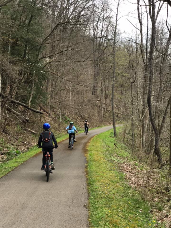
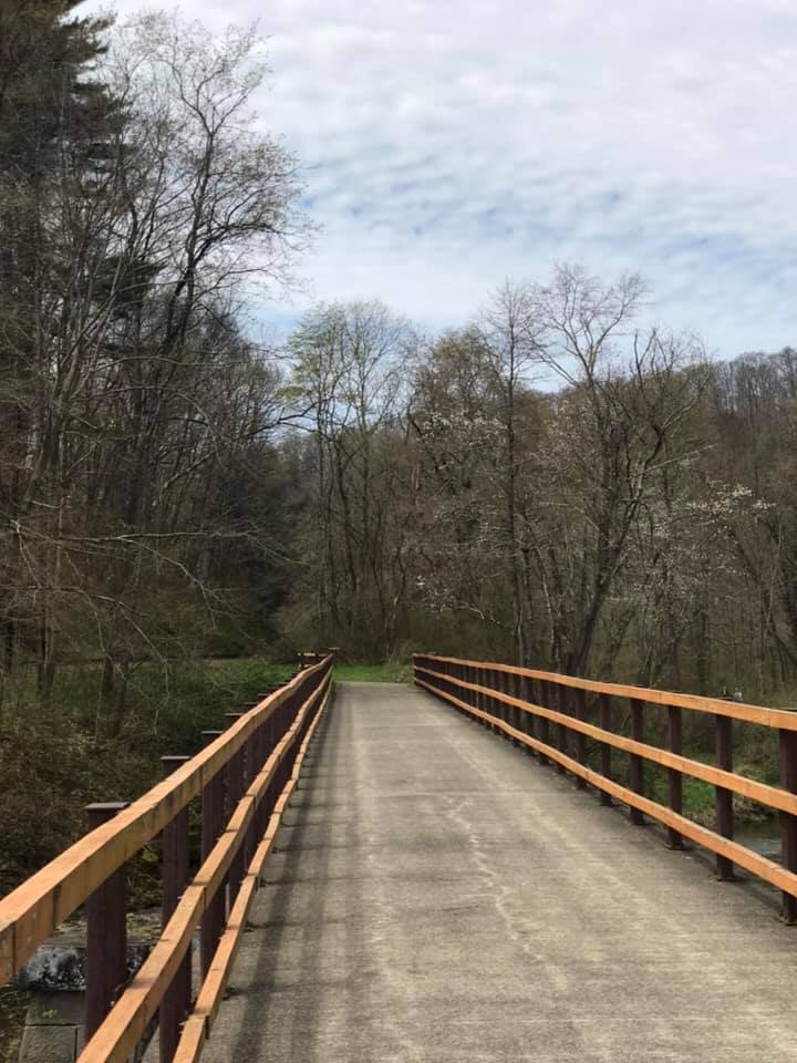
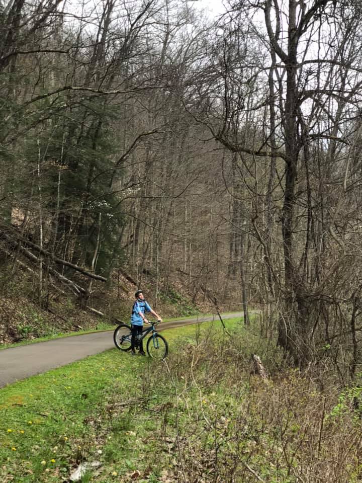
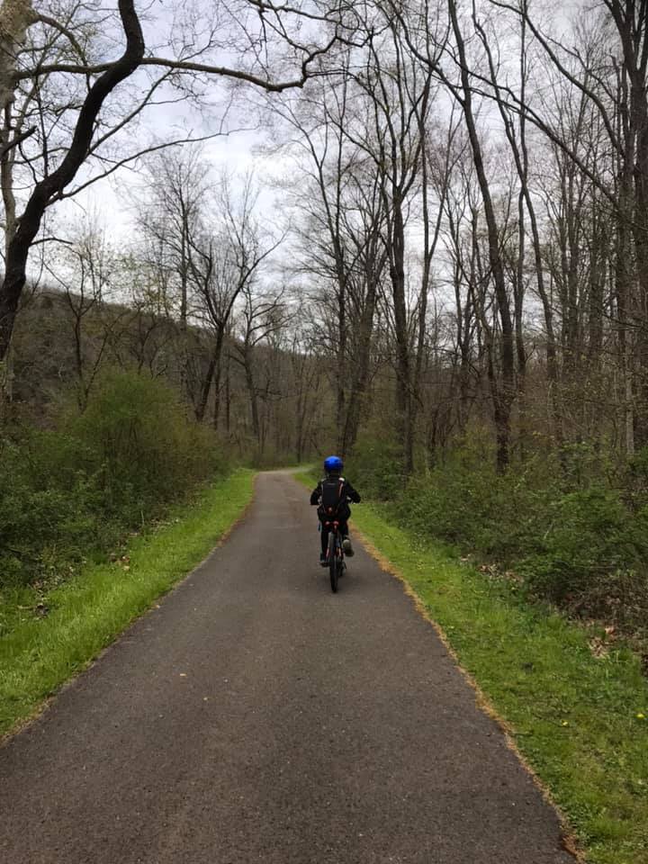
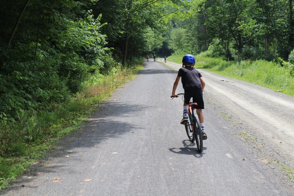
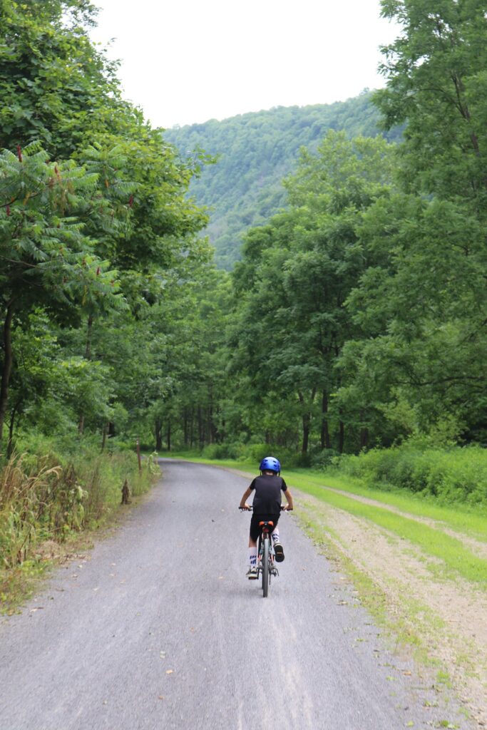
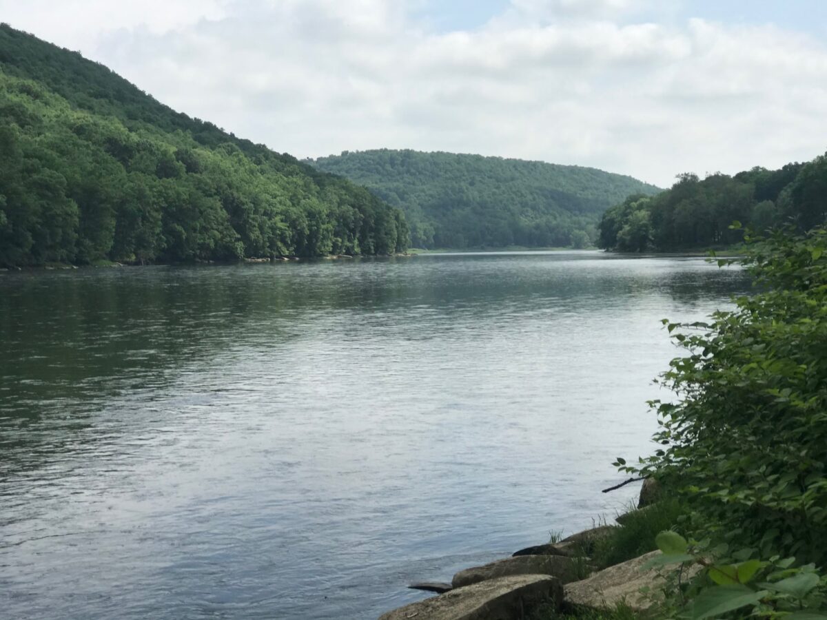
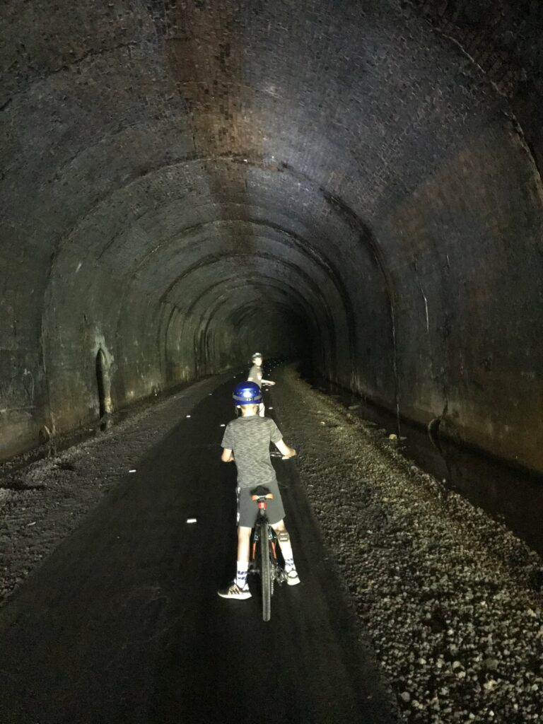
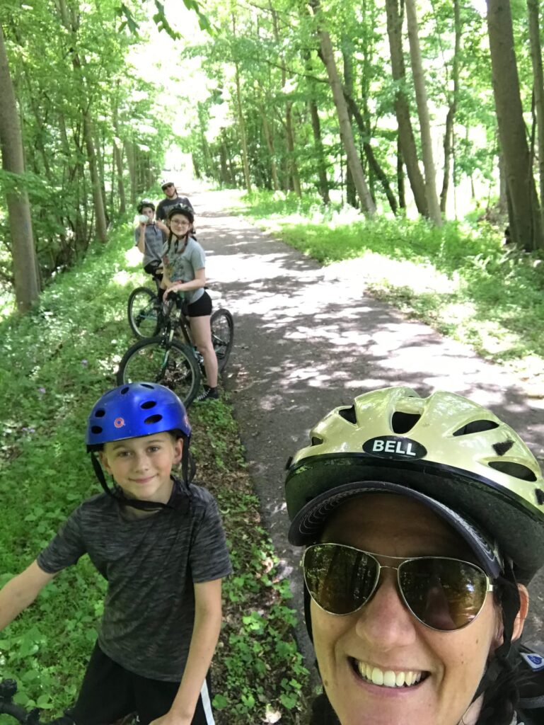
The favorite family bike path this summer was the Allegheny River Trail, traveling both north and south from Kennerdell, PA. We actually did sections of this trail over two days, but this is a great day trip for anyone living in the area or for whoever may just be passing through. The kids especially loved the tunnels which were long enough to require the use of headlamps while traveling through them.

View of the Allegheny River, which the bike path follows, from the Kennerdell Overlook.

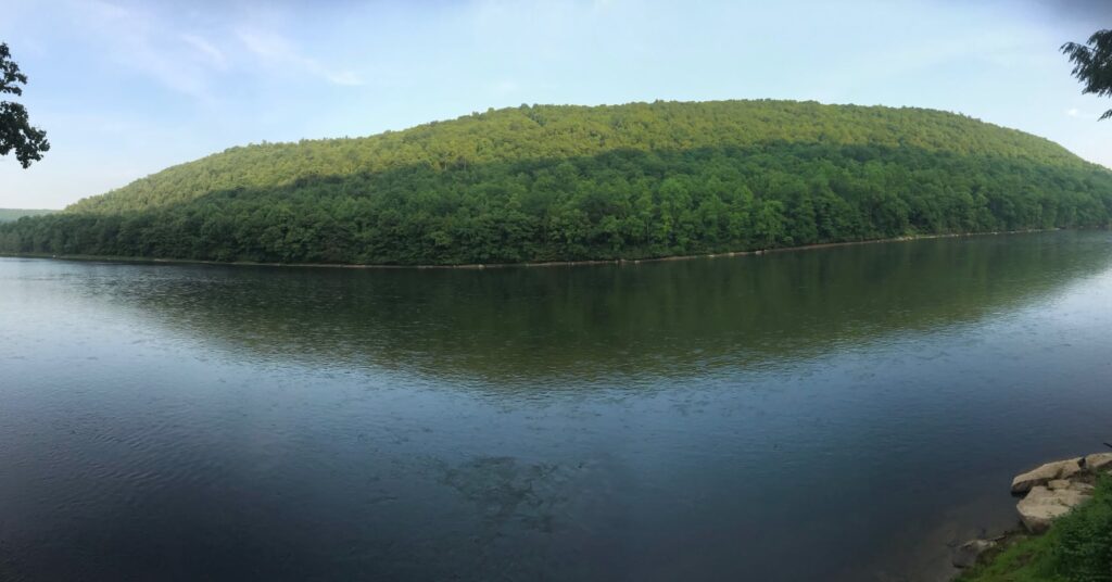
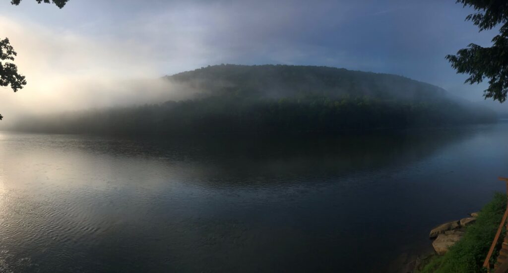
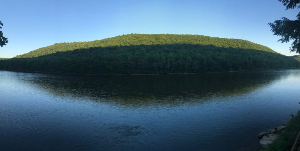
In June of 2020, we rented a house for a couple of nights in Kennerdell, right on the river. This gave us the opportunity to do a little kayaking as well!

Mid-day view of the Allegheny RIver
Sunrise view of the Allegheny River
Sunset view of the Allegheny River

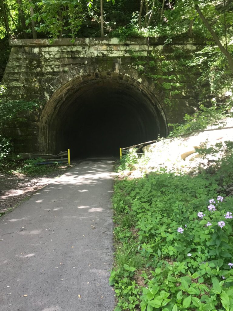
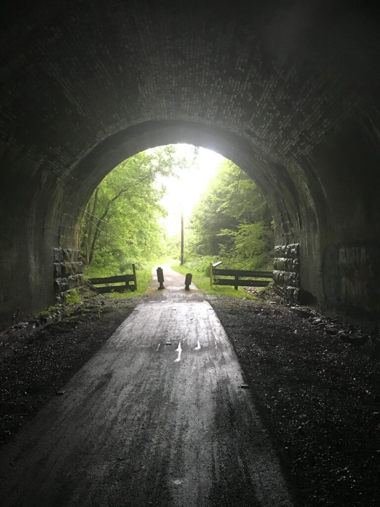
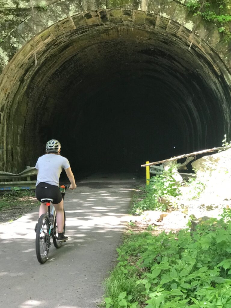
For our first day of biking, we headed north. Our starting point was very close to the southern entrance of the Kennerdell Tunnel off of a private road. This tunnel is 3350 feet in length. It was pathed throughout and had reflectors to mark the center. Due to its length and curve at the end, you can not see from one end to the other making the headlamps not only fun but necessary!

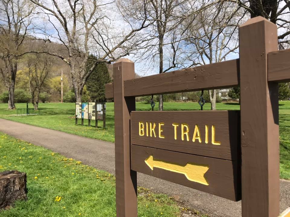
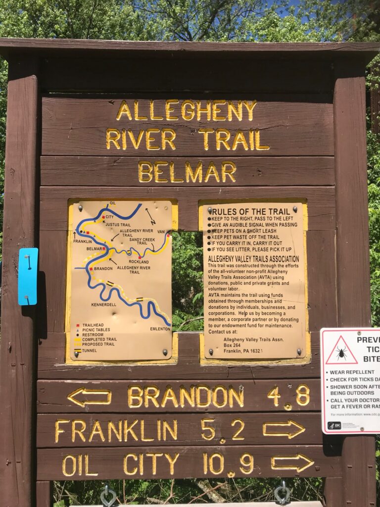
For more information on the trails including parking, facilities, and maps, consult the Allegheny Valley Trails Associations website.

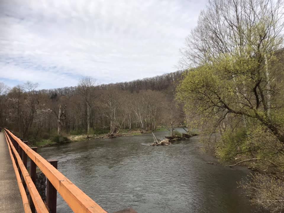
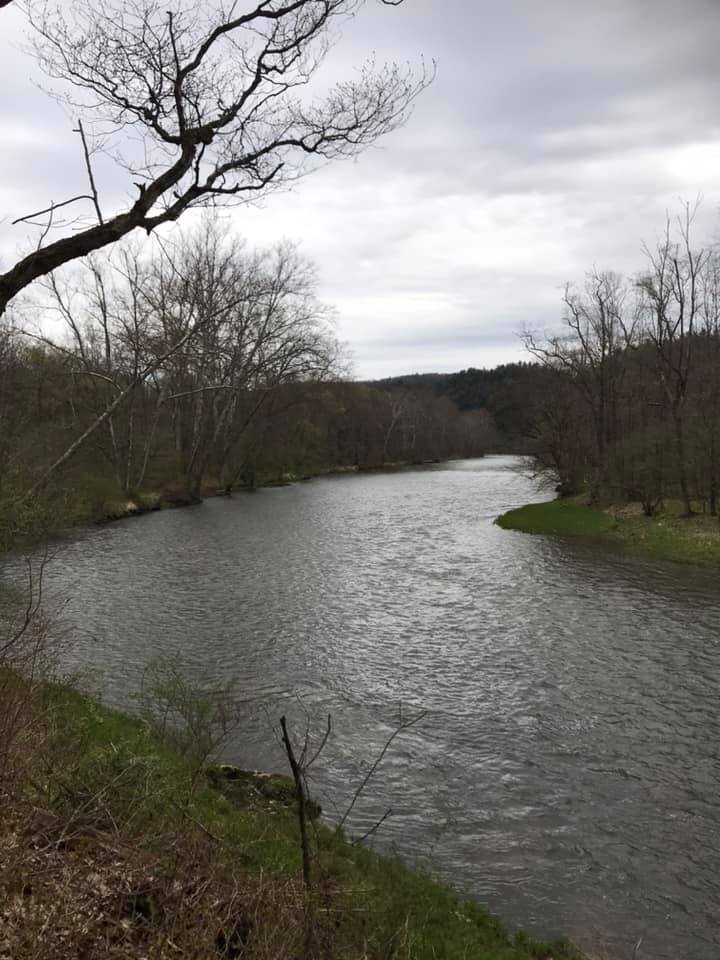
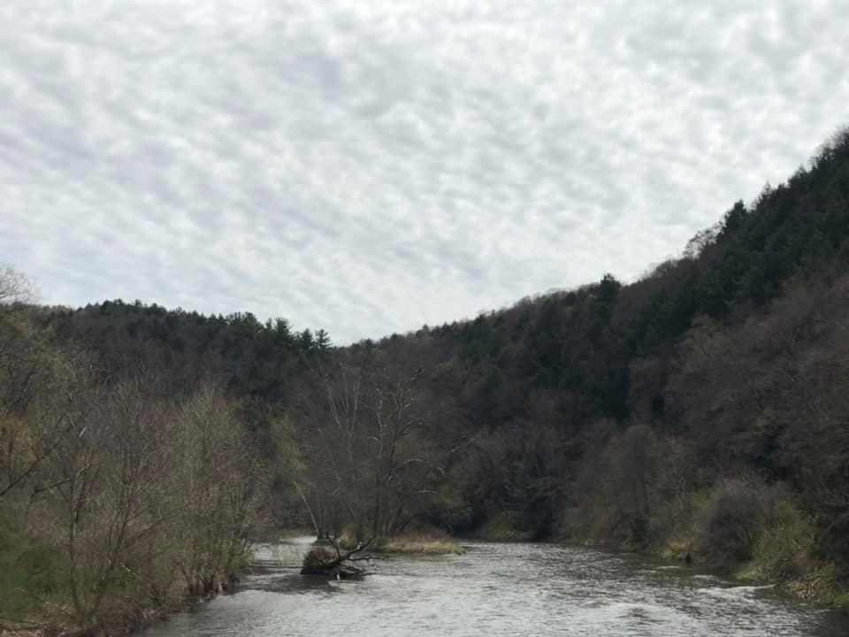
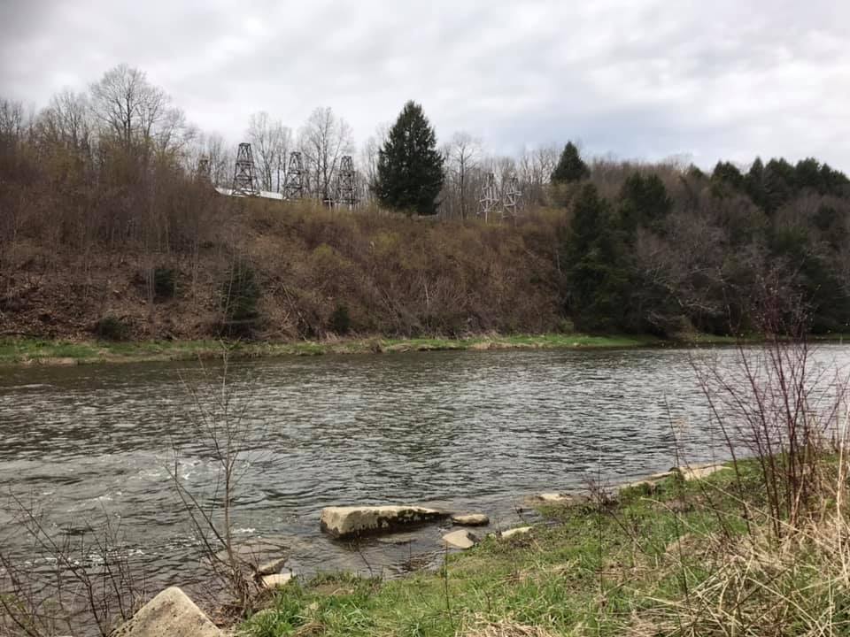
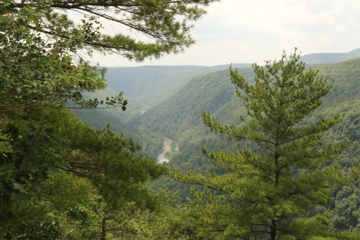
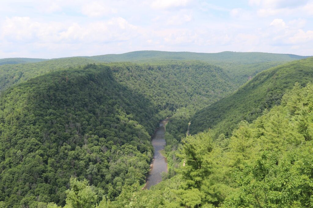
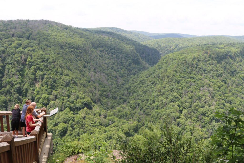
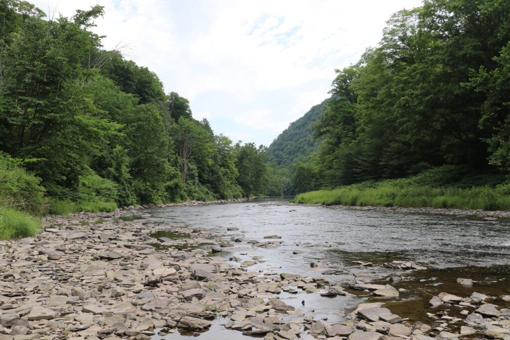
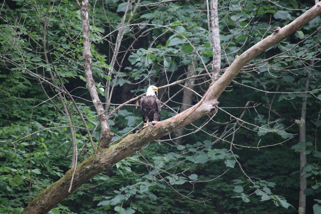
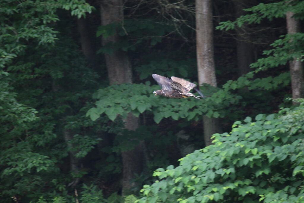
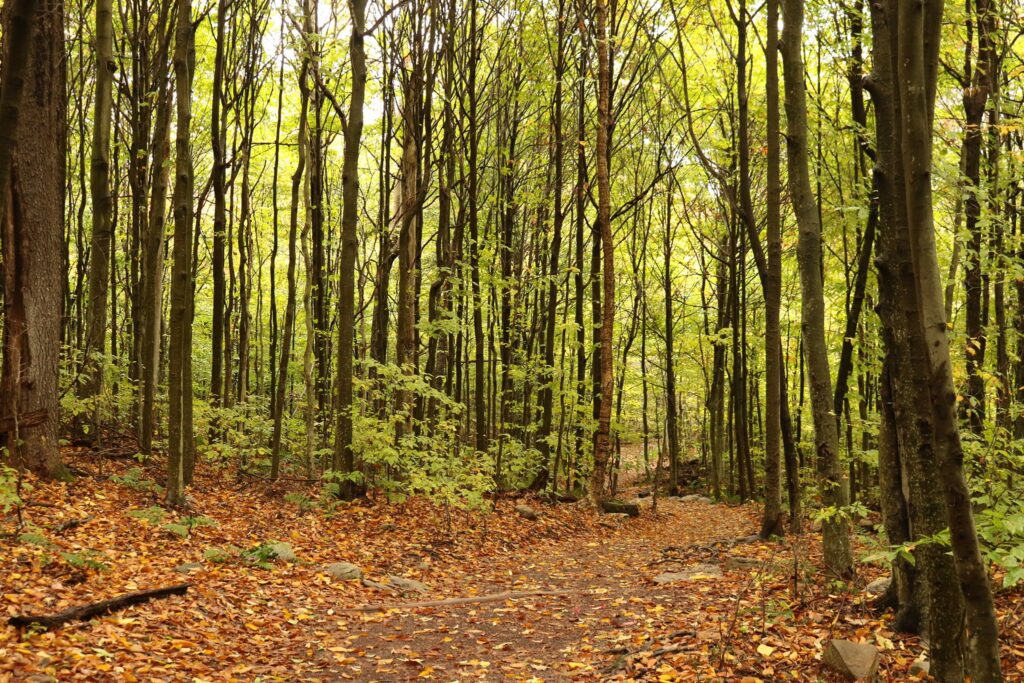
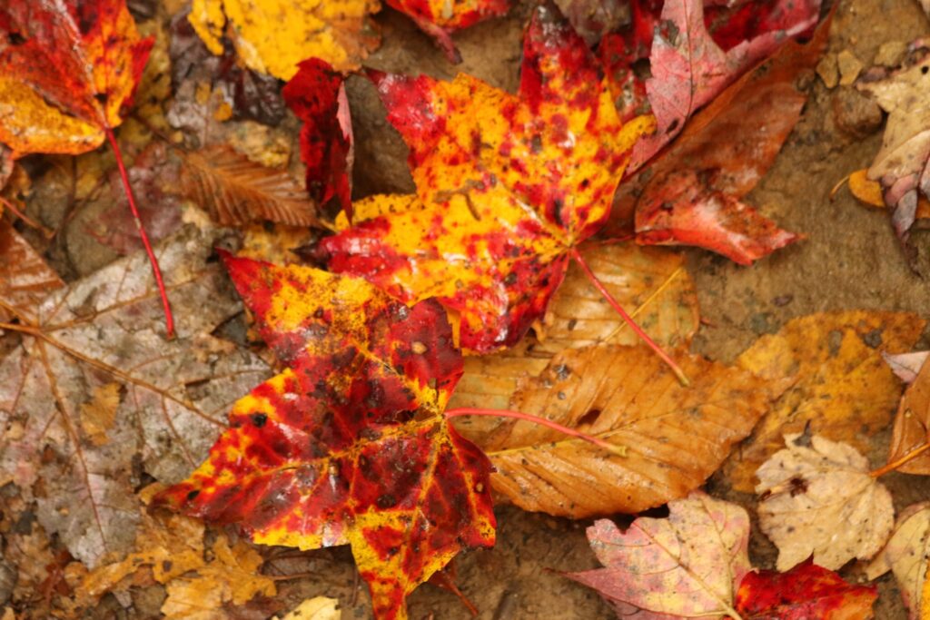
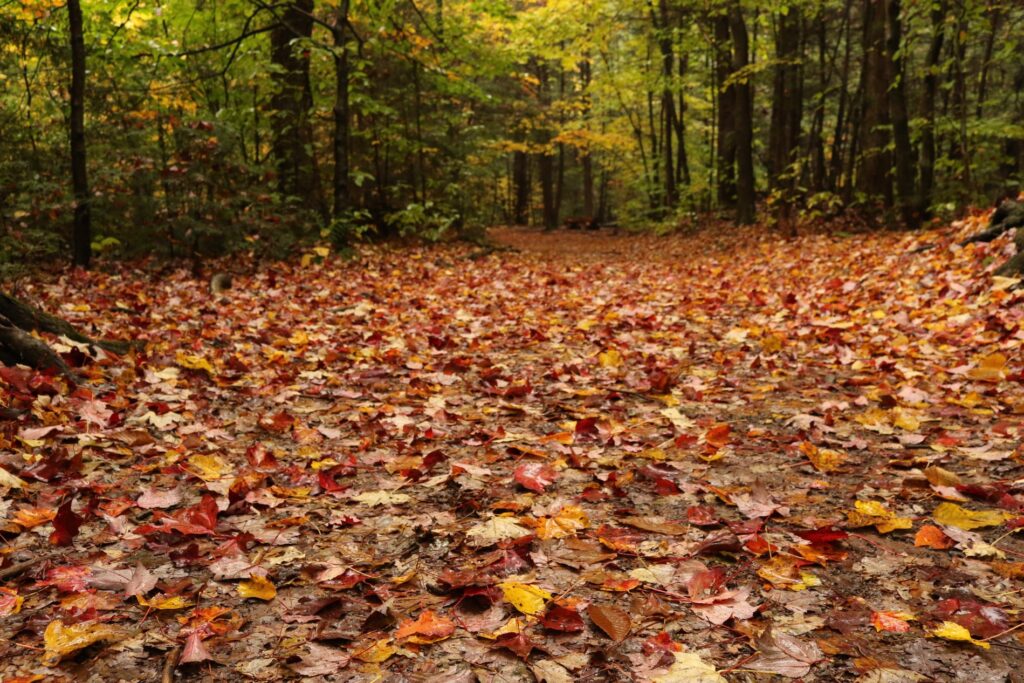
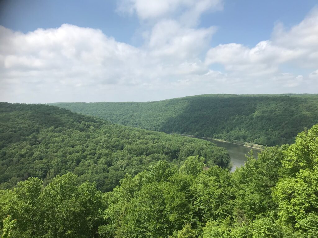
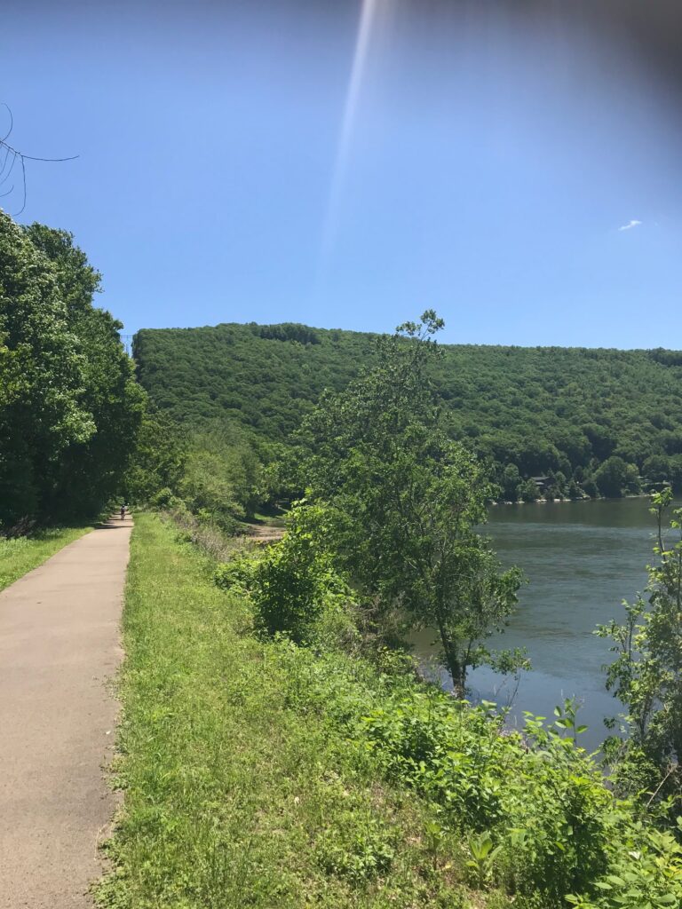
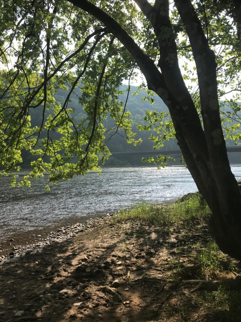
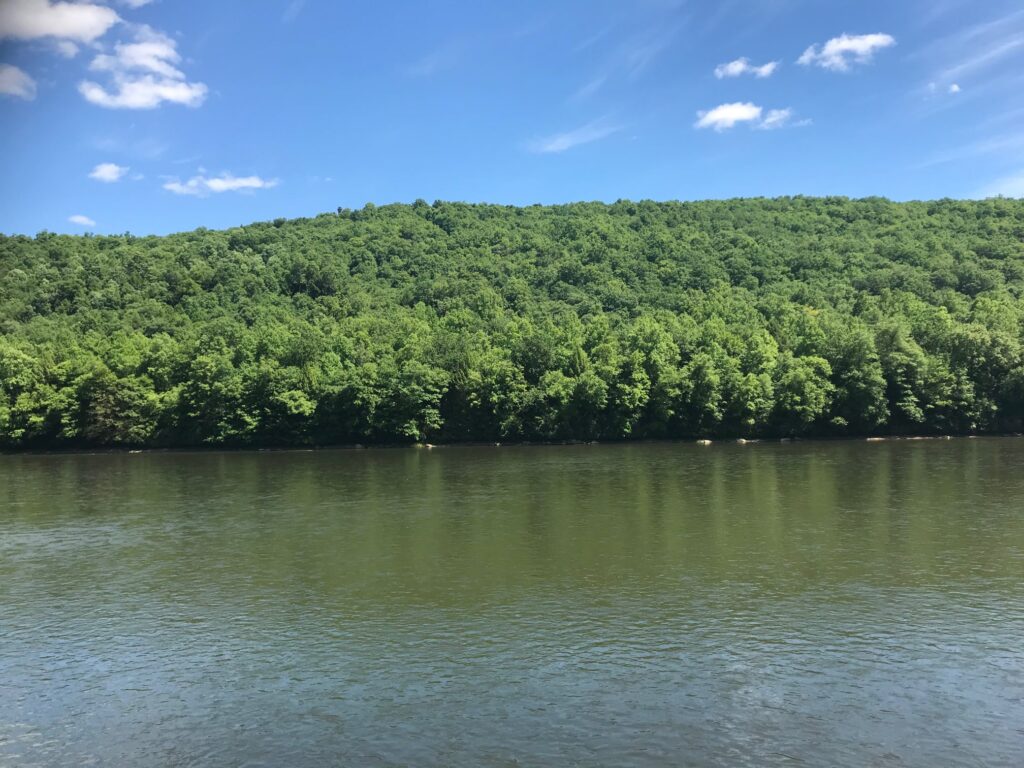
We traveled about ten miles on the trail. It was paved the entire way except for a roughly 1-mile section of the shared-use gravel Kent Road. The views of the river from the path were beautiful, here and there were also benches or picnic tables to rest and enjoy it. At one point we stopped to watch a Bald Eagle fishing across the river.

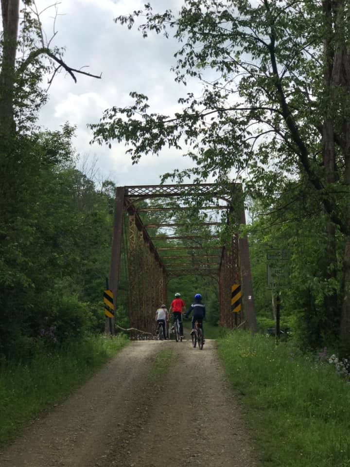
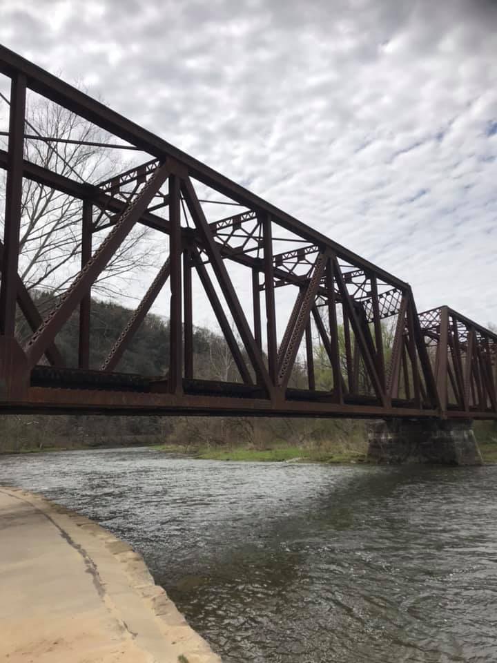
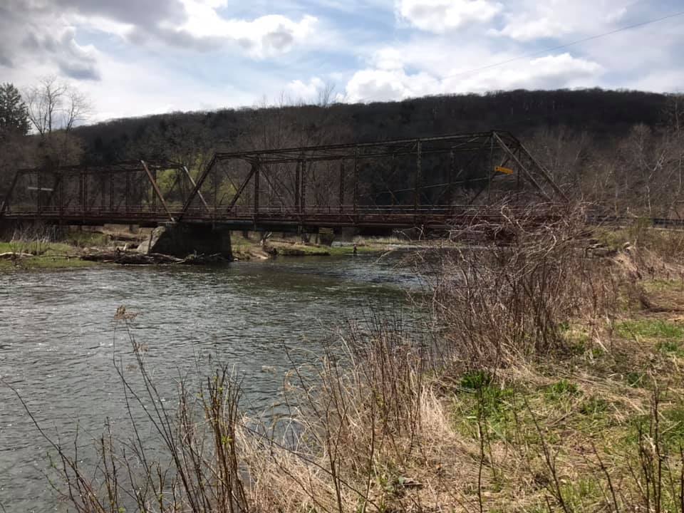
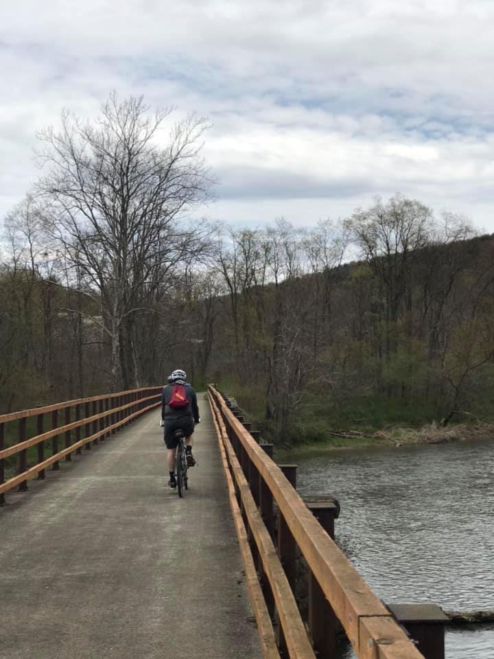
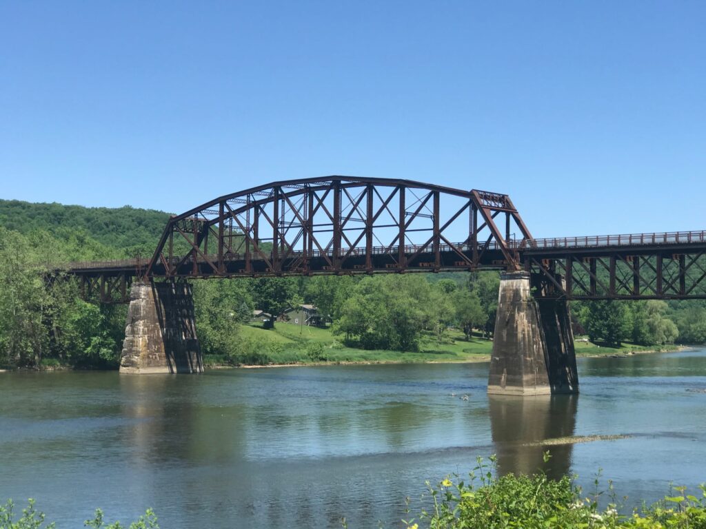
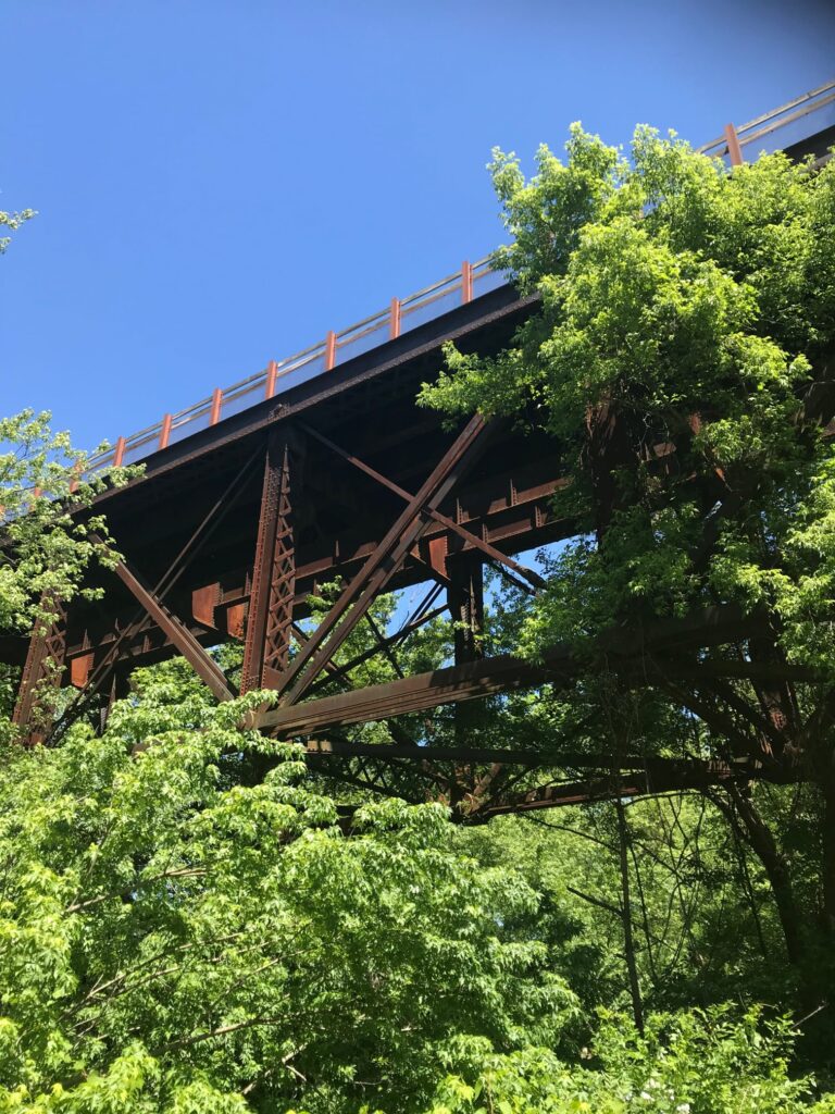
We turned around at the Sandy Creek trailhead junction. There were nice views of the bridge over the Allegheny. This looked like another great path to come back and ride sometime!

View of the Sandy Creek trail above us.

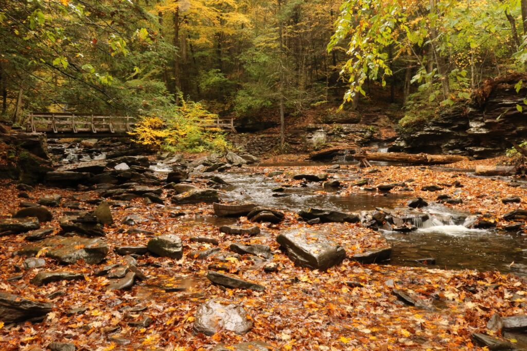
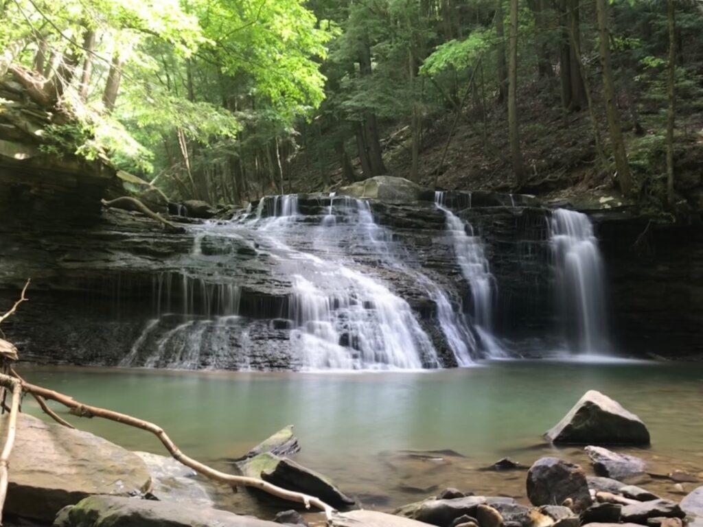
The next day we headed south on the Allegheny River Trail. This time our goal was a stop at Freedom Falls and the Rockland Tunnel about 10 miles down the path. We enjoyed more beautiful views of the river.

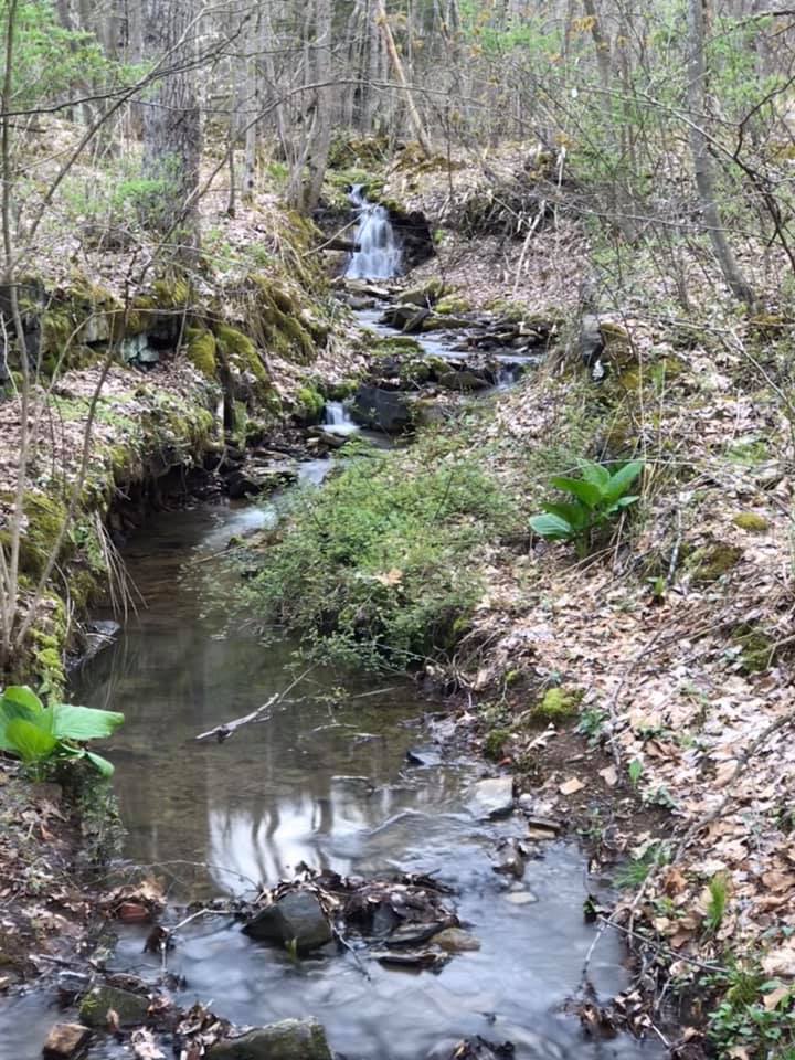
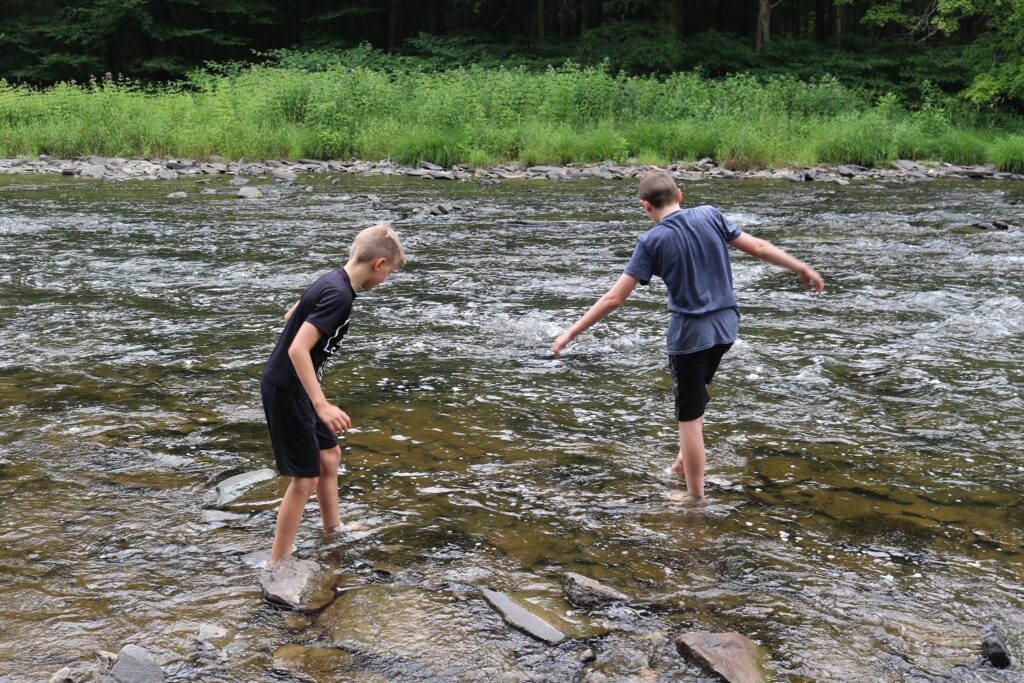
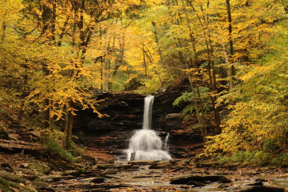
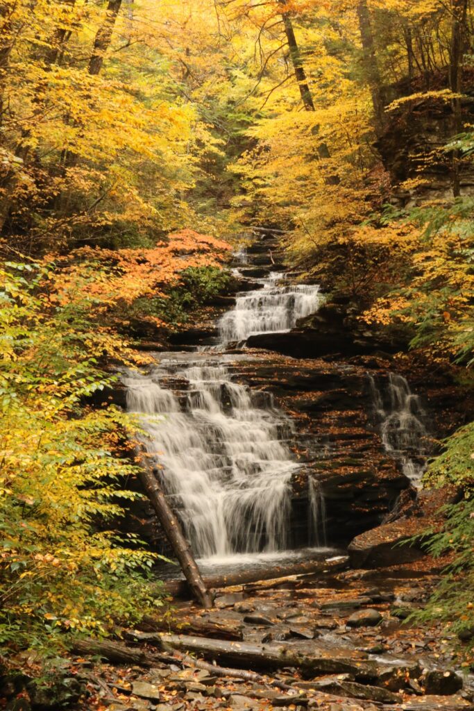
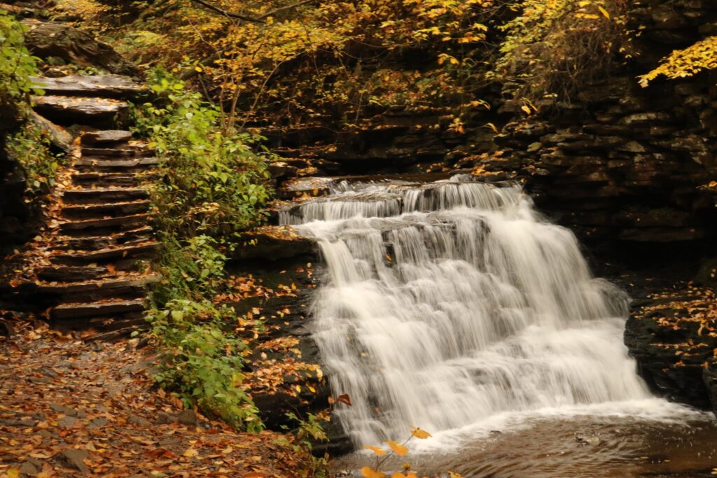
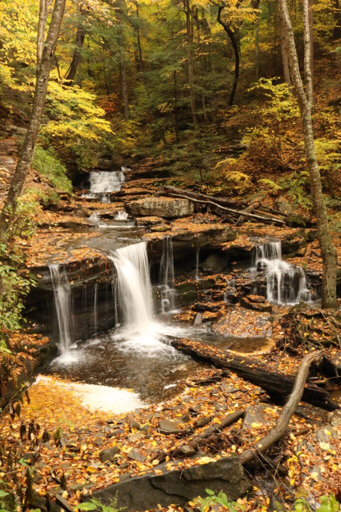
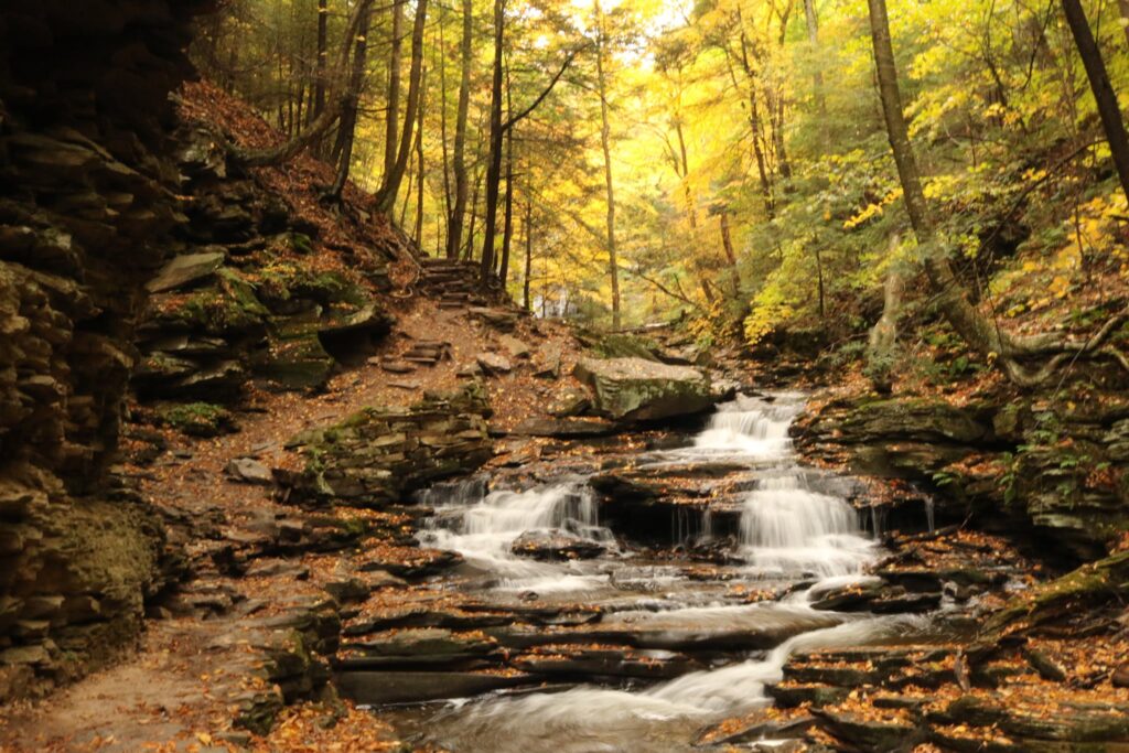
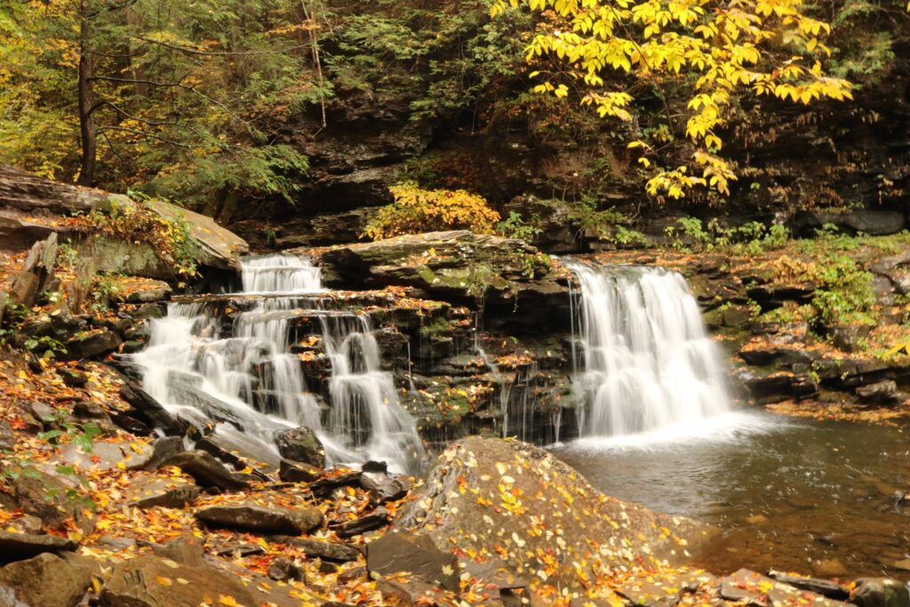
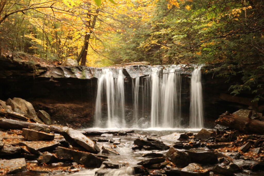
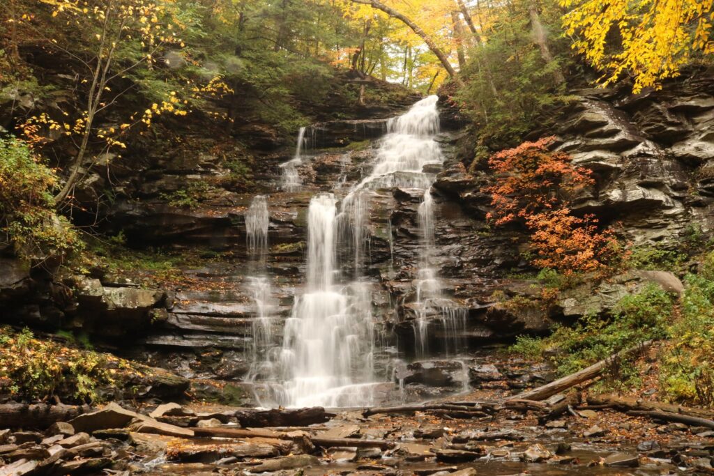
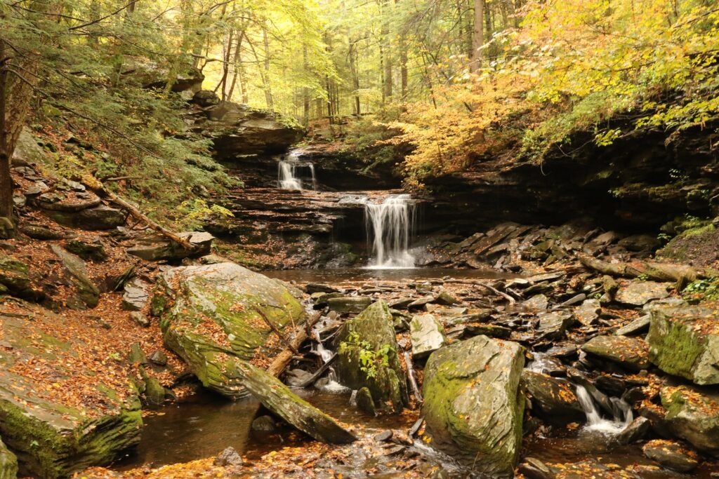
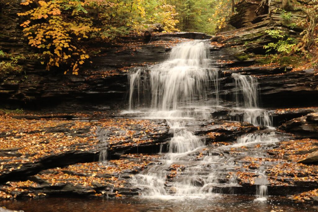
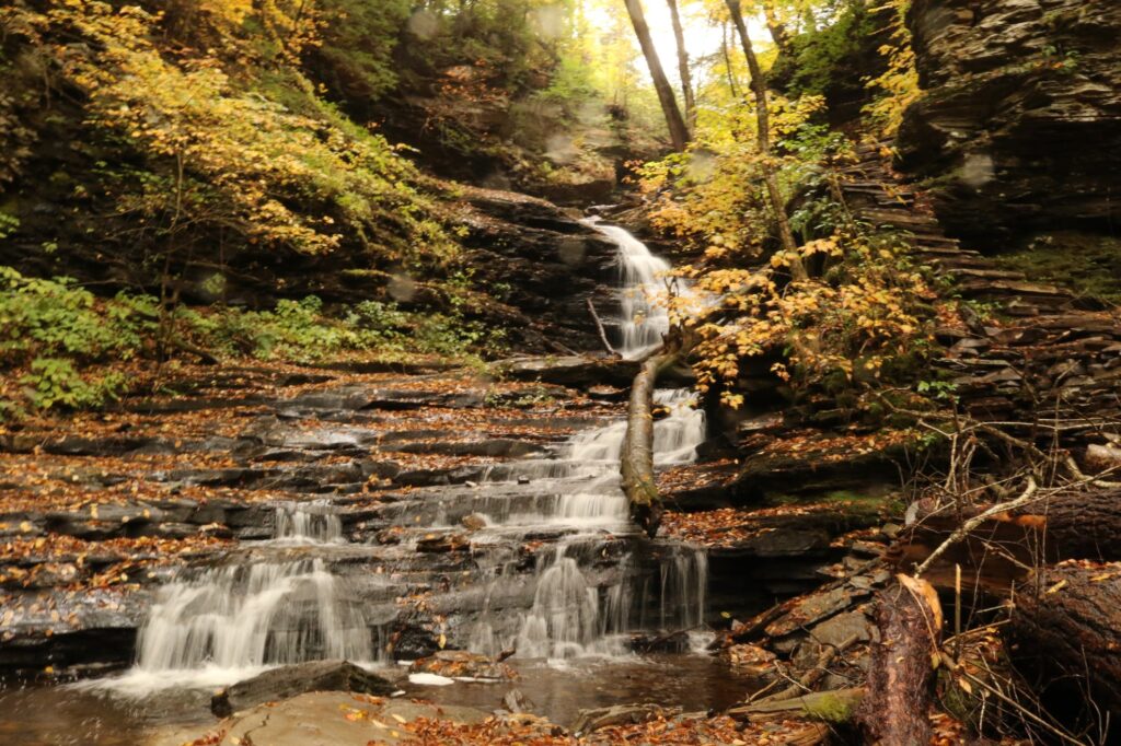
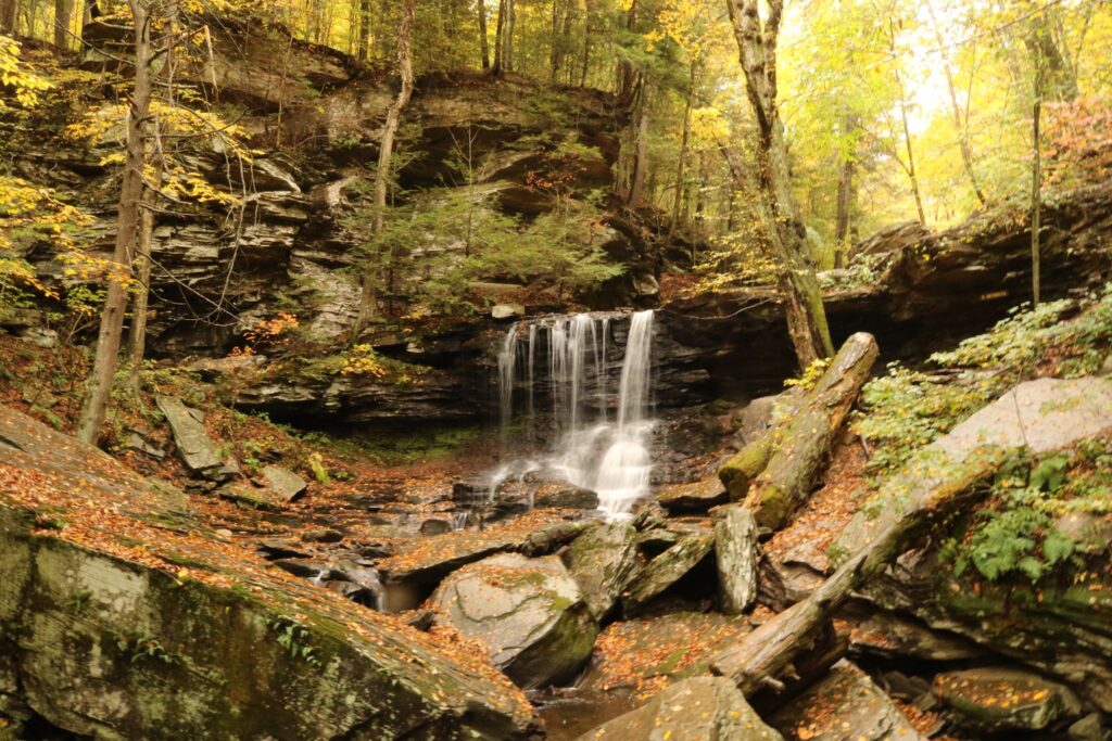
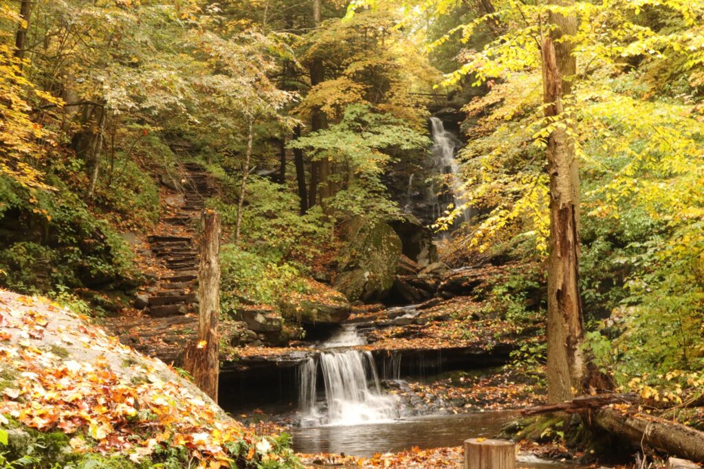
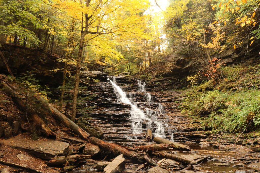
We parked our bikes at the Rockland Station Road trailhead. The tunnel was in view from here but we took to the road and walked a half-mile up to see Freedom Falls and the Rockland Furnace. We sat and ate our packed lunch in front of the falls. What a fantastic spot! Other than a few people camping up on the hill, we had the whole place to ourselves.

Freedom Falls

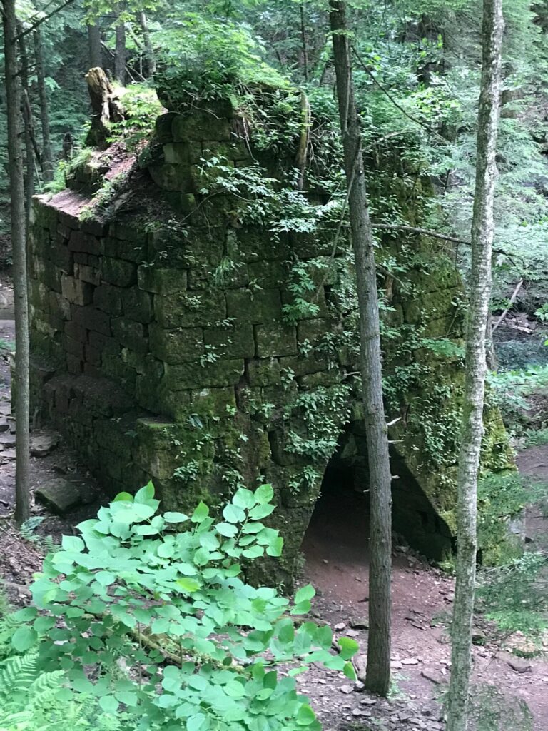
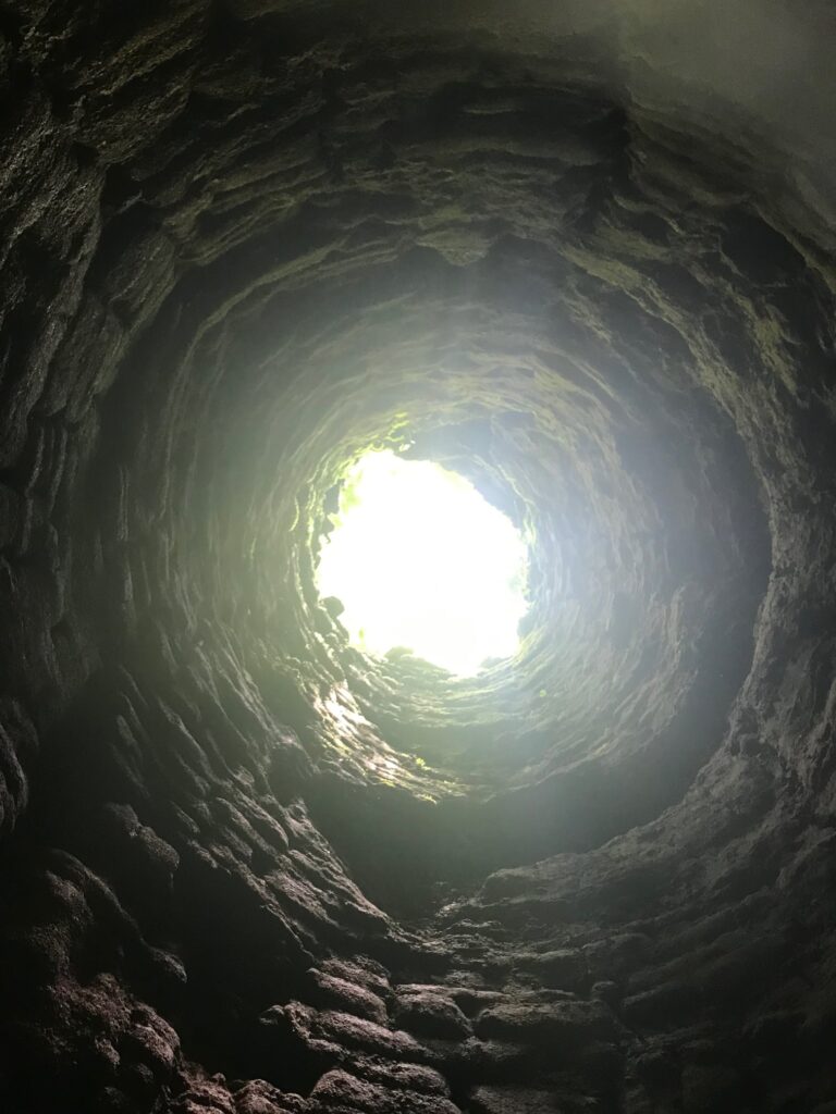
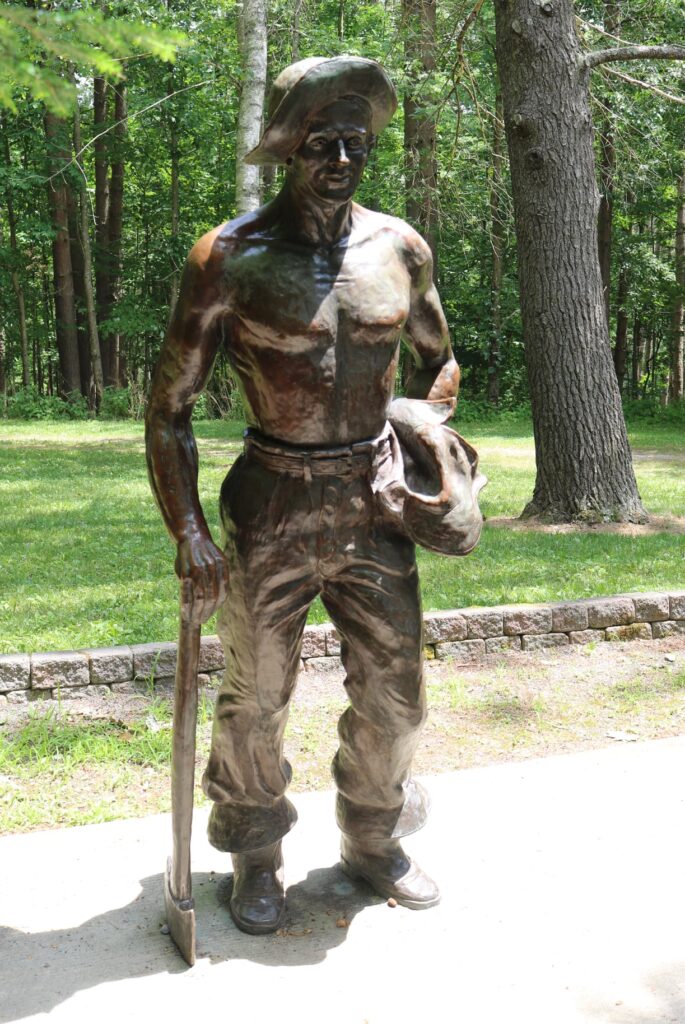
After resting by the falls we explored the ruins of the Rockland Furnace. This furnace was in operation from 1832 until 1854 for the production of iron. It was in pretty good shape considering that it hasn’t been used in 160+ years! It is all that remains of the town of Freedom that once stood here. Interesting to think that this area was once probably treeless and that trees have again overtaken the land. After we were done exploring it was time to travel our second tunnel. The Rockland tunnel is 2868 feet long but still long enough to not see the other end! We traveled through it and back again as we headed back to the house for a relaxing dinner and a family game to end our weekend get away.

Entrance to the Rockland Tunnel.
Another look at the Kennerdell tunnel from the inside!

Oil Creek State Park

Another great biking adventure!

I don’t remember how I stumbled upon this bike trail, but I know that I had not heard of it before 2020, and I liked it so much that we visited it 3 times this summer! We parked at the Jersey Bridge parking area just south of Titusville, PA. This is also within walking distance of Drake Well and Museum, which celebrates the inception of the petroleum industry. Pairing a trip to the museum with a ride on the trail would make for a nice day, but unfortunately, it was closed throughout 2020 due to the Covid-19 pandemic.

We rode this trail, the entire distance of the park, as a family of five twice. It is 20 miles round trip, but the relatively flat grade made this doable for everyone, including the youngest, at age ten. The third trip here we were joined by my parents who, still very active in their 70’s also enjoyed the trail.

The trail is very secluded. Once you leave the parking area, there are no roads or road noise!

The path follows Oil Creek, crossing it twice on the way to an area of the park called Petroleum Center. This part of the state park had a restroom, picnic areas, a seasonal train station, and a very cool interpretive boardwalk with photographs of what the town of Petroleum Center looked like during the Pennsylvania oil rush of the mid 19th century.

Oil Creek, near the south end of the state park, with remnants of Pennsylvania’s oil boom in the background.

This was a great ride, in a beautiful place. It was also a powerful reminder of how humans can both destroy and restore the world that they live in. I enjoy learning the history, but hope to live my life as one of the restorers.

Exploring Pine Creek

Summer 2020 was full of socially distant outdoor activities. One of our family’s favorites was exploring the many bike paths within a few hours of our home in western NY. The next 3 blog posts will feature our 3 favorites this summer. We started this trip by taking a picnic lunch up to Leonard Harrison State Park in Wellsboro, PA.

This park is in the heart of the area known as the Pennsylvania Grand Canyon and is situated on its eastern rim. The boardwalk leads to overlooks with sweeping views of the canyon and Pine Creek below. When we visited in July, there were also concessions featuring local treats. I was surprisingly pleased to see there is also an Iron Mike statue. These statues, to commemorate the work of the Civilian Conservation Corps, began with the first unveiling in 1935 in Griffith Park, Los Angeles California. Today there are 76 statues throughout the United States. So much of the groundwork in many of the parks I enjoy visiting on the east coast was laid by the workers of this depression-era program.

Now, about this bike trail! We parked at the Darling Run access lot just south of Ansonia, PA. Our plan was to ride about 7.5 miles down to the Tiadaghton camping area and back. The entire bike path is 62 miles long.

The youngest, always trying to catch up!

After riding for about 3 miles, we pulled off the trail to enjoy the creek. It was a warm day and it was a great place to splash and cool off.

After 7.5 miles we arrived at our destination. Again, we waded in the creek. this time we were joined by an adult and a juvenile Bald Eagle. The area was very peaceful.

After cooling off for a bit it was time to return the way we came. A storm was blowing in as we biked the 7.5 miles back to our van.

Even though this trip was in July, I am writing about it in November. In the spirit of Thanksgiving, I am so grateful for a day spent with family, a social program that promoted the protection of beautiful places while putting people to work, and all the people who fought for the protection of species like the Bald Eagle so that we can still enjoy them today.

Rickett’s Glen State Park

On October 12th, 2020 we took advantage of a drive across Pennsylvania to stop at Rickett’s Glen State Park to hike one of my bucket list trails. The trailhead is off of PA 118 about 24 miles west of Wilkes-Barre, PA. From the sign at the entrance to the park and combining the Falls trail, Ganoga Glen trail, Highland trail, and Glen Leigh trail, we hiked 8.1 miles in a lollipop formation to see all 21 of the park’s named waterfalls!

Entrance to park off of PA 118
Above are two of the first falls we encountered. Murray Reynolds at the top at 16′ high and Harrison Wright at 27′ tall.
Tuscarora at 47′ tall, was one of my favorites.
Conestoga Falls

The park brochure provided some interesting information on the history of the area. It was originally part of land owned by Colonel Robert Bruce Ricketts, a Civil War veteran and later his heirs. According to the park brochure, the area was approved as a potential National Park site in the 1930’s but the outbreak of World War II diverted attention elsewhere.

The trail was rugged. It was easy to follow but often very natural, with stones as stairs and tree roots weaving their way across the path.
Delaware falls
Seneca Falls
At 94′ high, Ganoga Falls is the tallest in the park.

At about the half way point of the hike, there was an interesting rock formation. This area, called the Midway Crevasse and found along the Highland Trail, was situated between the two gorges carved out by the two branches of Kitchen Creek.

Midway Crevasse

At the end of the loop, back where the two branches of Kitchen Creek meet, the hike was drawing to a close. It was not an easy hike, but in the roughly three and a half hours that we were on the trail, I thought of nothing but the beauty surrounding me and how fortunate I was to be in this space, with a body healthy enough to see it all. Sometimes taking the difficult path in life pays off, if we can just take a moment to appreciate it.

The trail less travelled?
Water’s meet
Verified by MonsterInsights