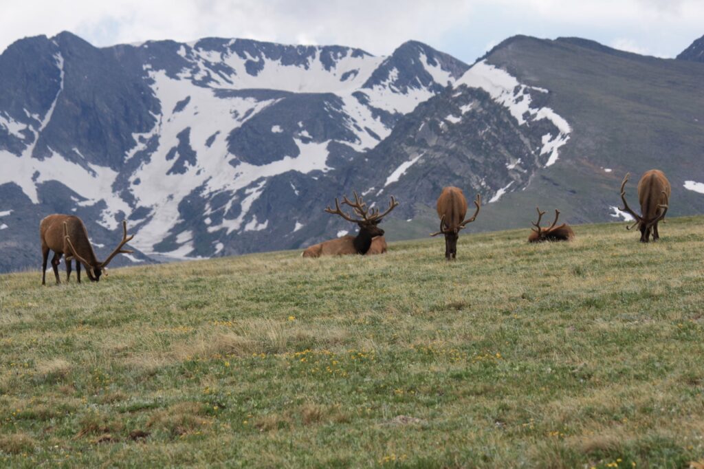
Death Valley National Park is absolutely stunning! The vistas are varied. The mountains are majestic. The landscape is light and airy. We traveled to the California desert in February. This time of year the temperatures were cool and sunny; daytime highs were in the 70’s and the nighttime lows were in the 40’s. The weather was perfect for hiking and we did not encounter the crowds that are so often present during the summer in the parks. It was a very enjoyable trip. Here is what we found to do!
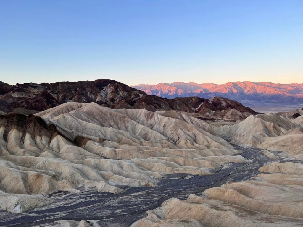
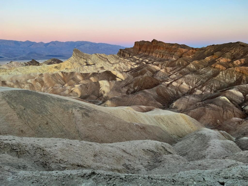
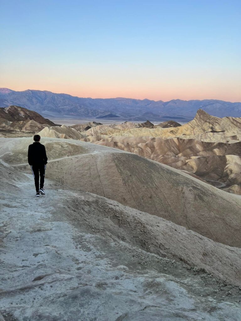
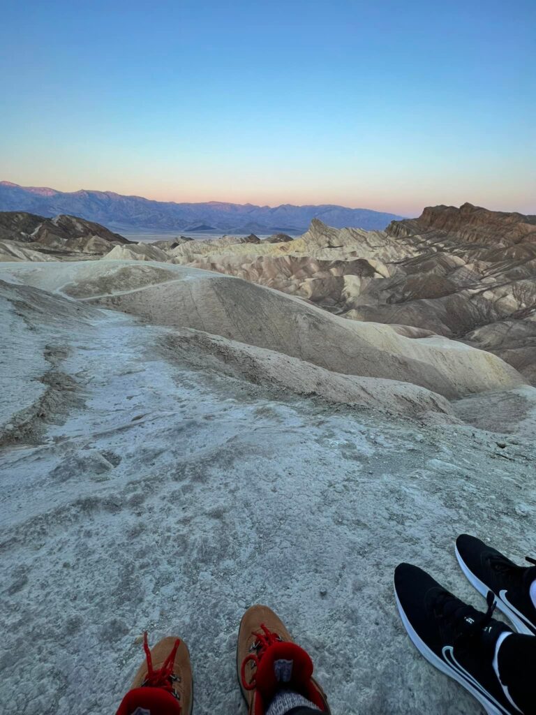
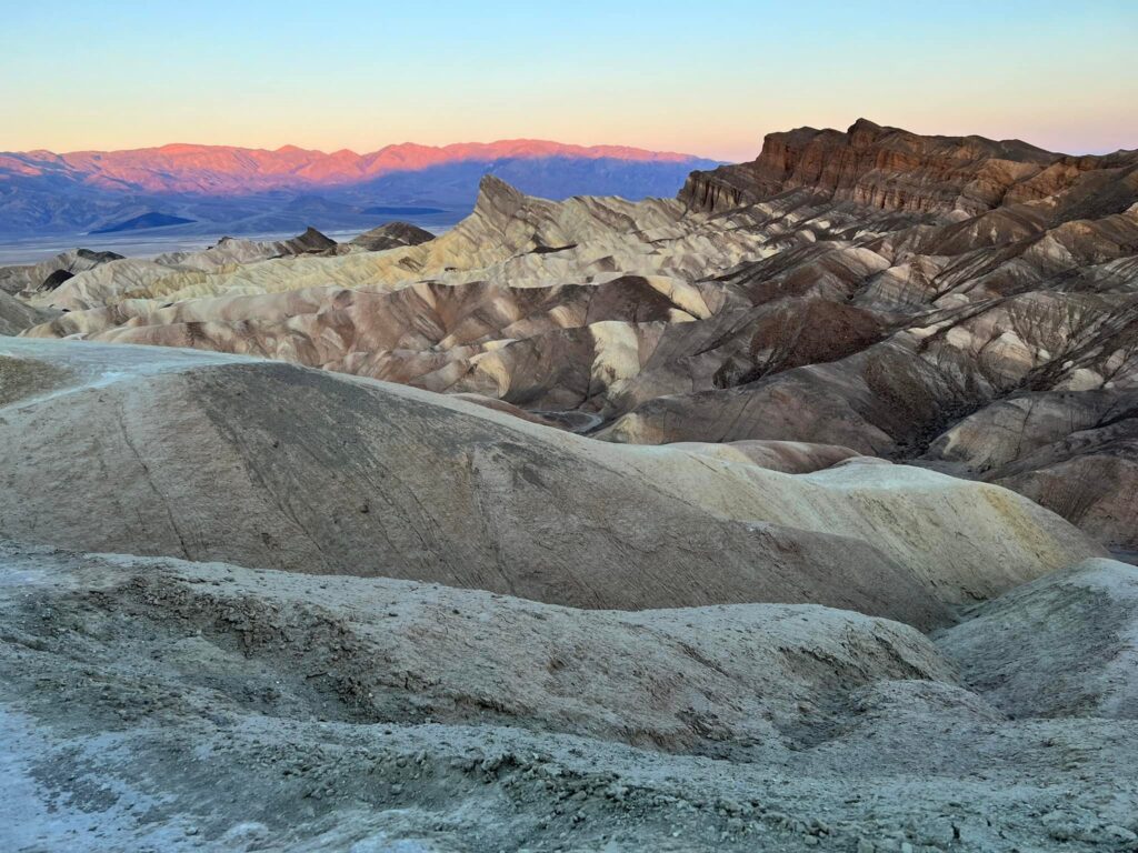
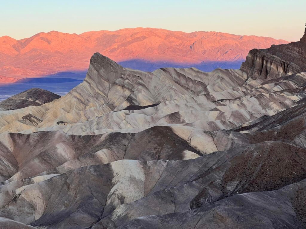
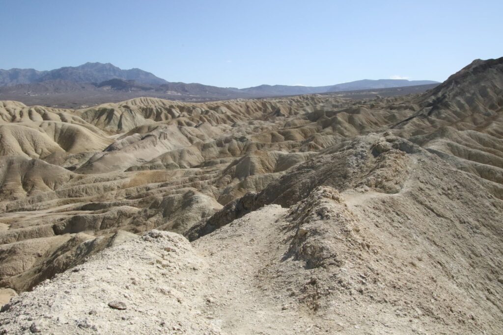
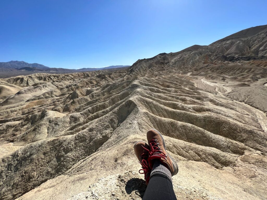
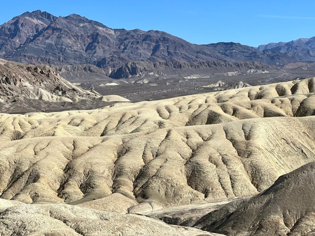
Sunrise at Zabriskie Point
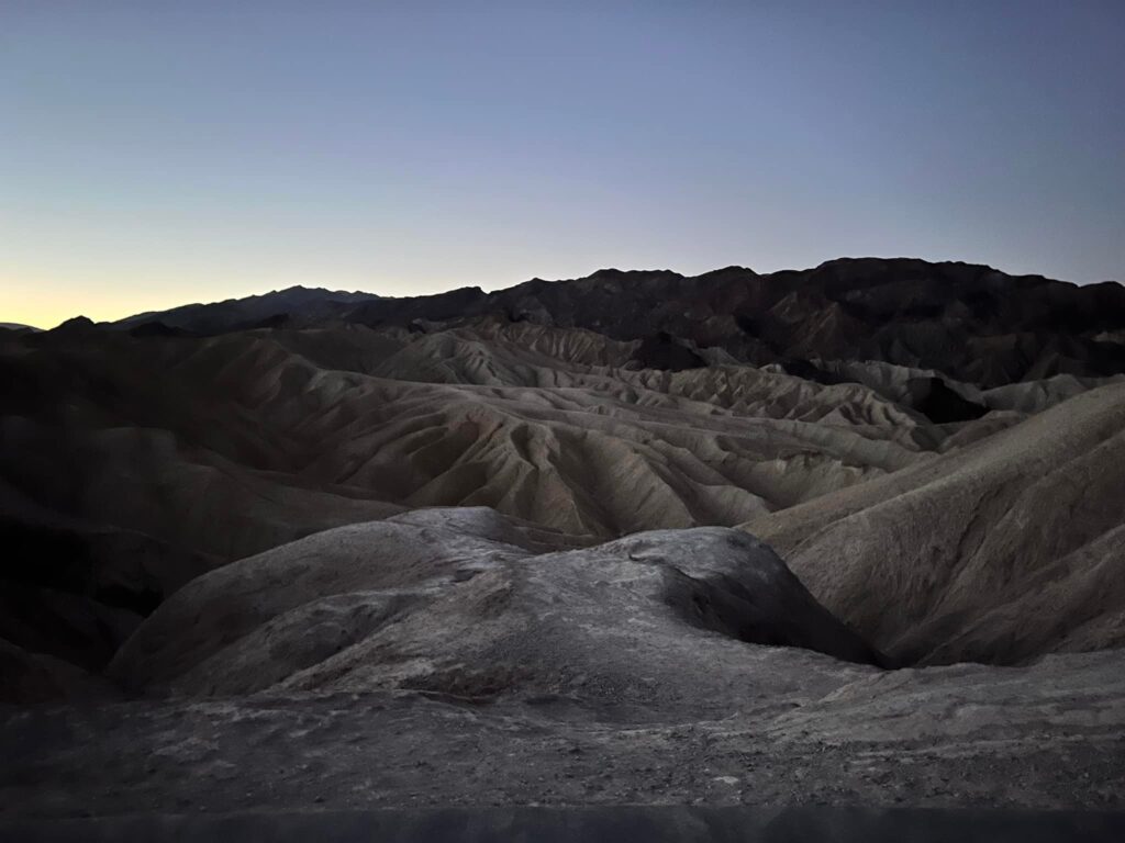
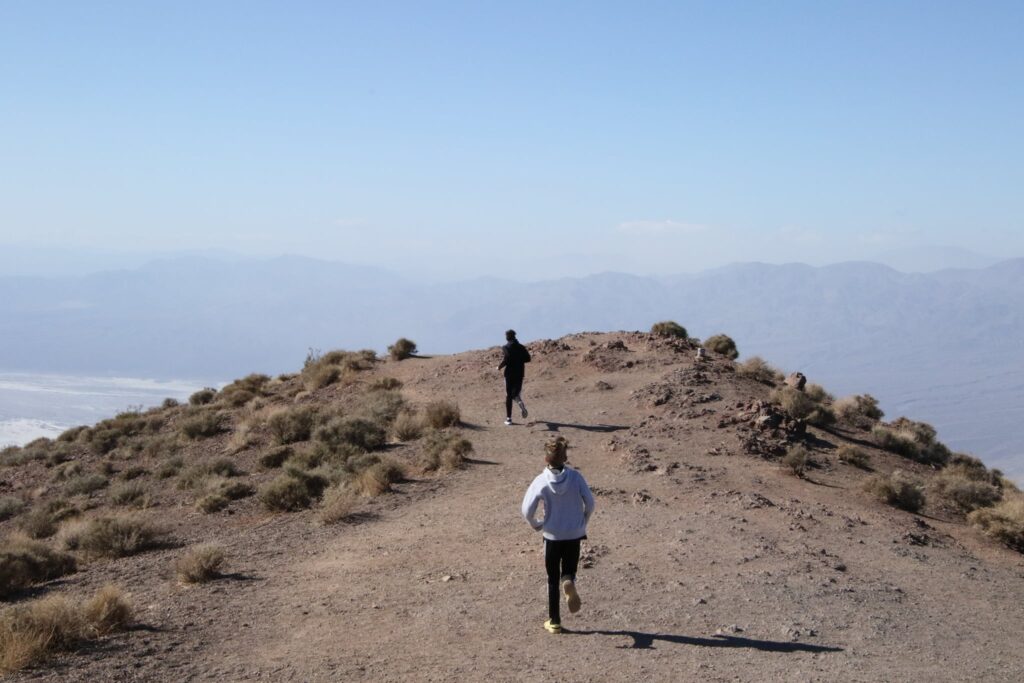
We arrived at the park after dark the first night, greeted only by the luminous stars in the sky! I could not wait to see what the landscape we drove through the night before looked like. I was the first one up, well before the sun, and I convinced my 14-year-old to join me for sunrise at Zabriskie Point.
It was a chilly morning. Zabriskie Point is one of the most famous viewpoints in the park and should not be missed. The trail from the parking area to the overlook is less than half a mile but it does climb uphill. There is also a trailhead to the Gower Gulch Trail from this parking lot if you wish to avoid the crowds and cross the landscape to Golden Canyon. Information about looping this trail for a longer hike can be found at the NPS site here.
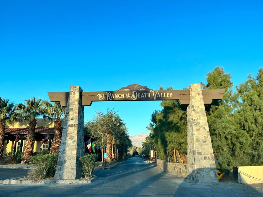
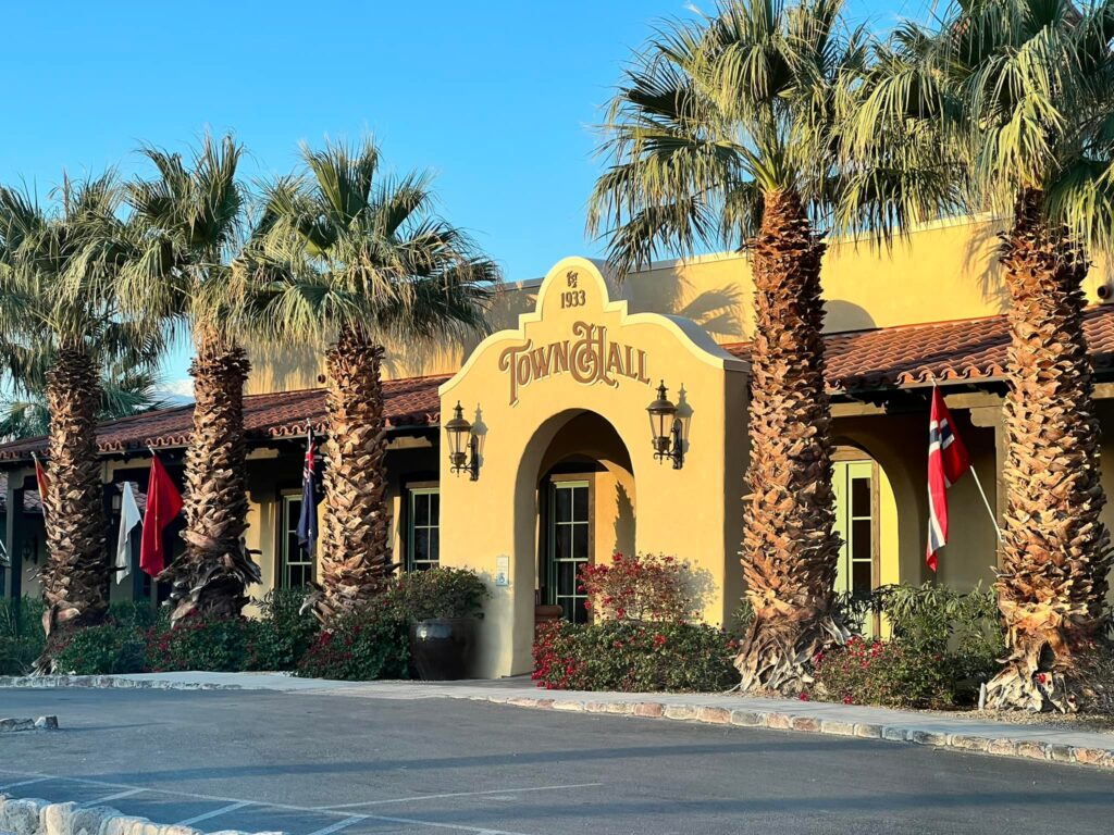
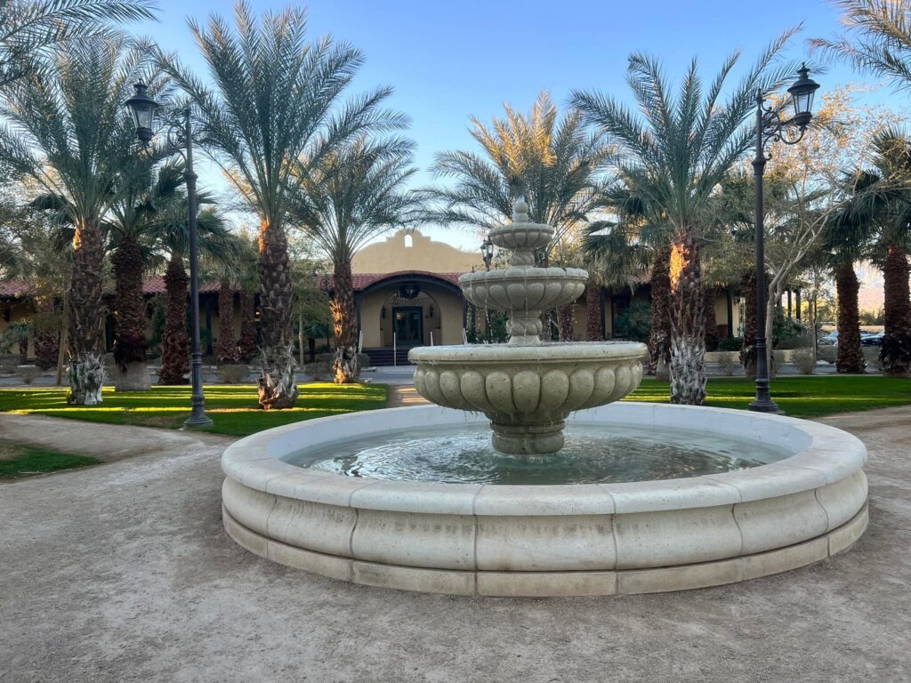
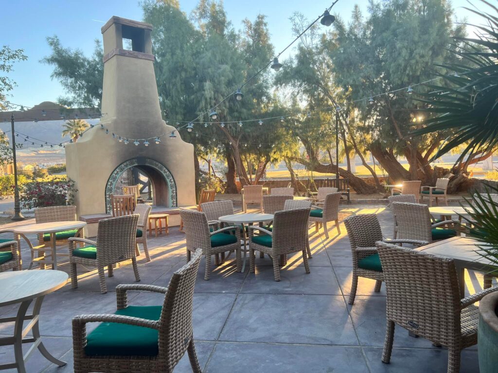
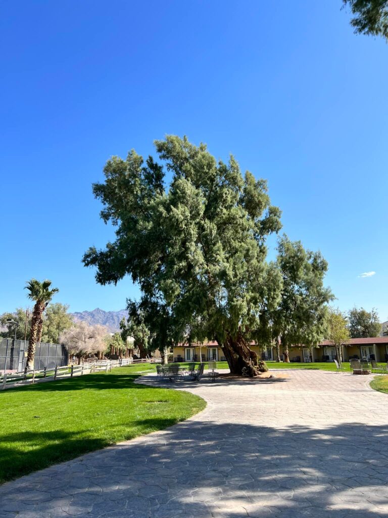
The Ranch at Death Valley
Getting an early start is helped by staying in the park. We chose The Ranch at Death Valley. It is located in the Furnace Creek area on the east side of the park. The hotel room style accommodations were cramped but worth it for the location. Also on the grounds were a small grocery/gift shop, a couple of restaurants, a pool, a golf course, and a gas station. Make sure you fill up outside of the park, however, the cost of gas was over $7 a gallon (in 2022). The Furnace Creek Visitor Center is right next door.
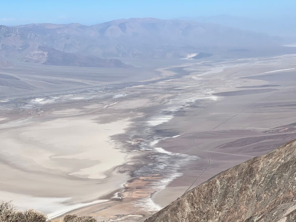
Dante’s View
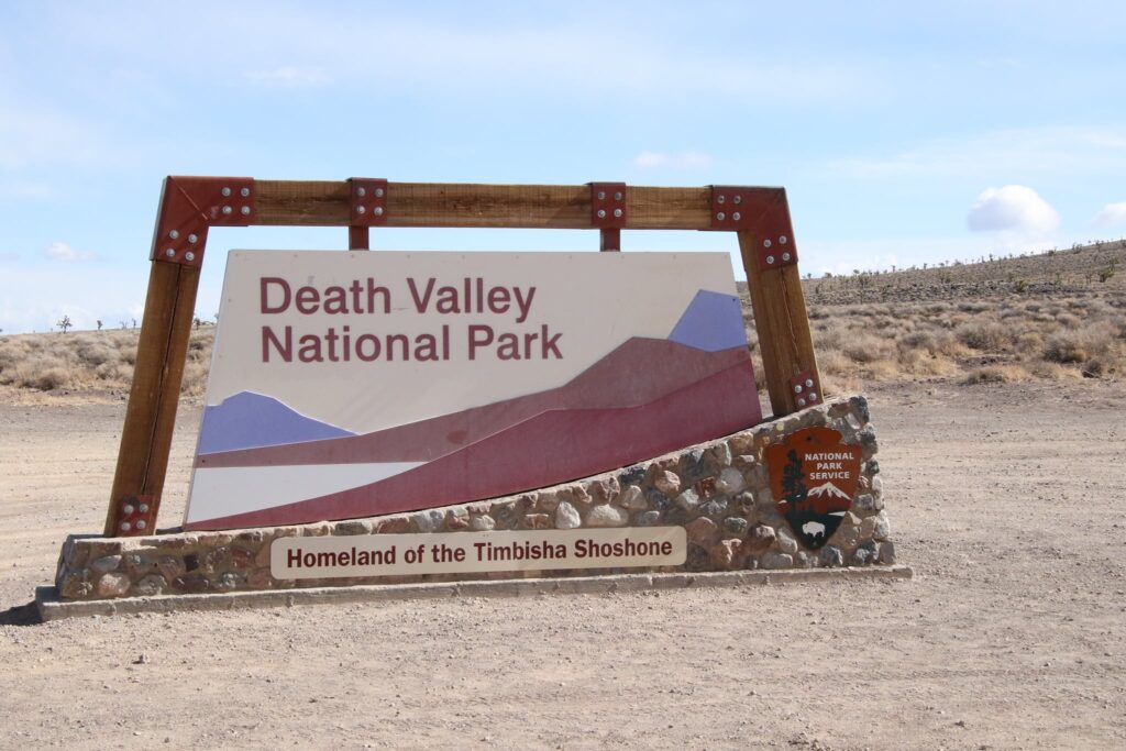
After returning from our sunrise trip, the whole family set out for Dante’s view. We retraced our drive from the previous night and took in the beautiful scenery. This also gave us a chance for a photo in front of the park sign!
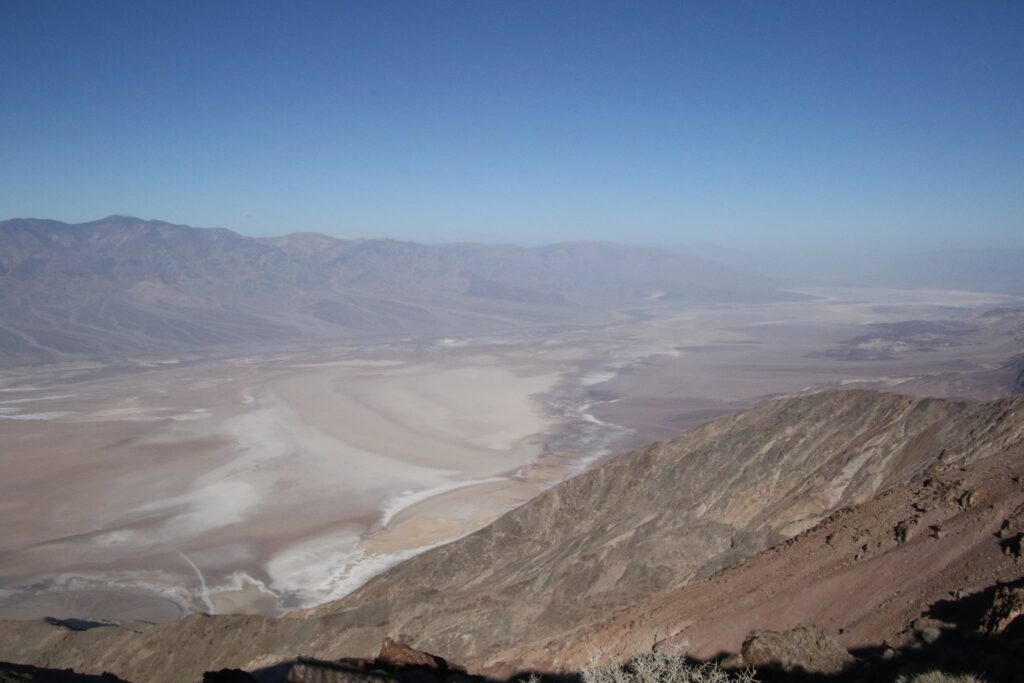
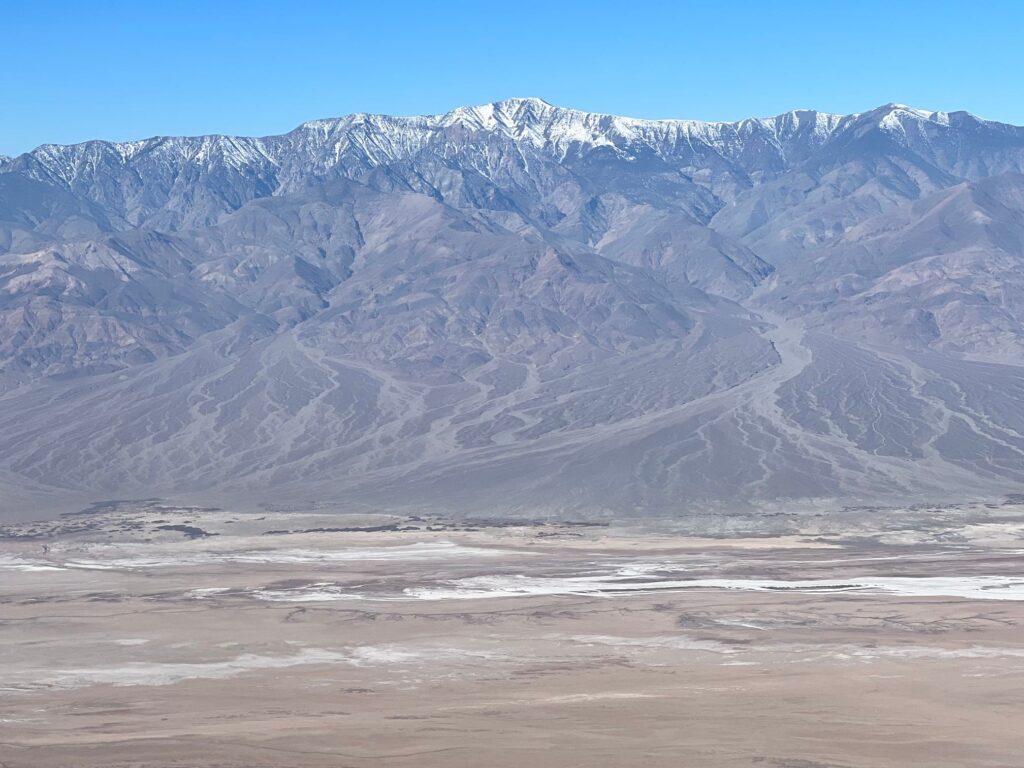
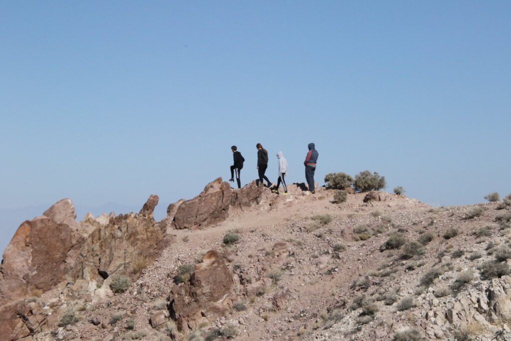
Dante’s View was a 35-minute drive from the Ranch. It provided sweeping views of Badwater Basin below. Telescope Peak in the mountains across the valley was topped with snow. We walked to the end of the point at Dante’s view and then along the ridge trail toward Mount Perry. We had solitude and sunshine the whole way.
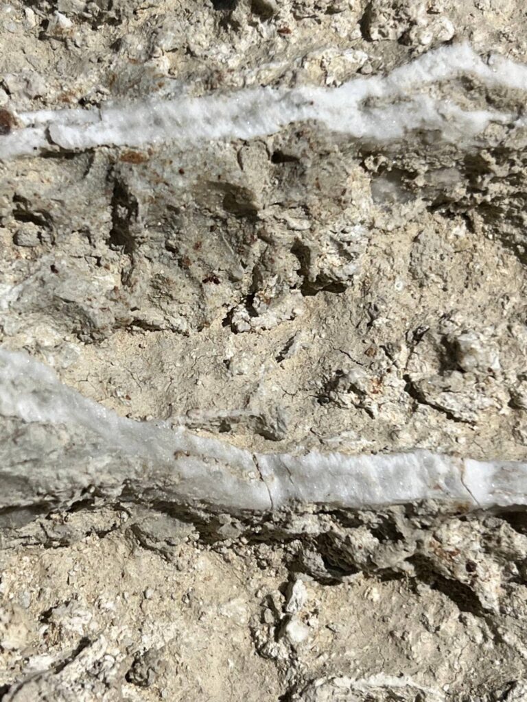
20 Mule Canyon
Driving northwest again on Rt 190 to head back toward Furnace Creek, we took the turnoff to drive through 20 Mule Canyon. This wasn’t one of my must-see stops but it was a very pleasant surprise! Again, we were alone on this 2.8 mile packed dirt road. At one point we pulled over and walked a bit on the parched land. This was the site of one of many borax mines; the shiny white traces of the mineral still present just beneath the surface in spots.
Coming from cold, grey days in western New York, it was very nice to just sit in the sun for a few minutes and enjoy the view.
Badwater Basin
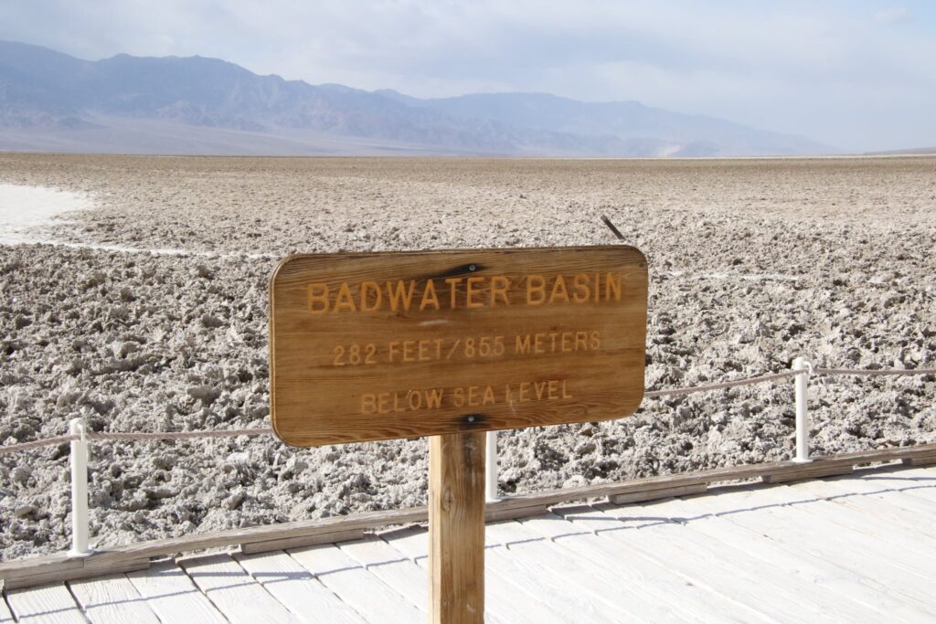
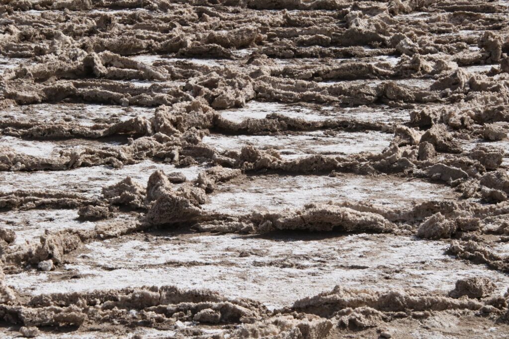
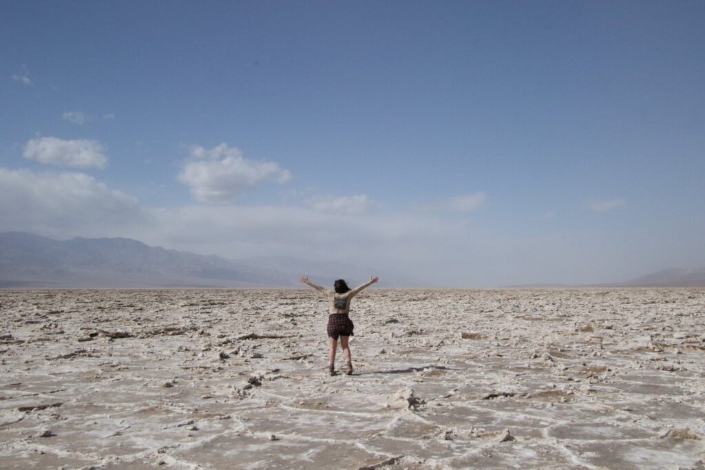
This was my favorite stop of the day! We descended from an elevation of 5,575 feet at Dante’s View to 282 feet below sea level in Badwater Basin! I had been really looking forward to seeing the odd geometric shapes in the salt flats. This was the busiest spot we checked out that day and we also arrived around 1:00 pm, probably the busiest time of day. Venturing off the boardwalk, it seemed like the salt flats were too worn down by walkers to present the way I envisioned. I tightened my hat even tighter, it was really windy, and set out to pass all the people milling about to see if I could find a spot less trampled.
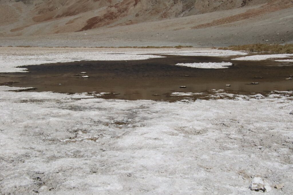
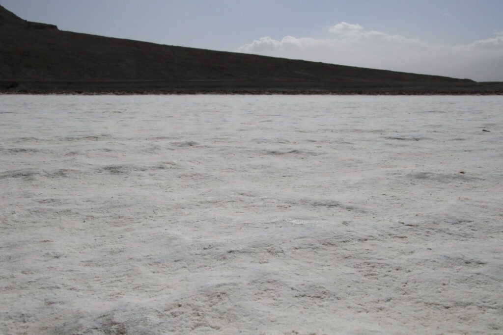
Success! I probably walked a little over a mile until there was no one in front of me anymore. The wind was still blowing fiercely but the warm sun kept it from chilling me. I was alone with the weird geometric salt pan spread out before me. Soon my family caught up and I snapped plenty of photos while they giggled in the windy playground of parched earth.
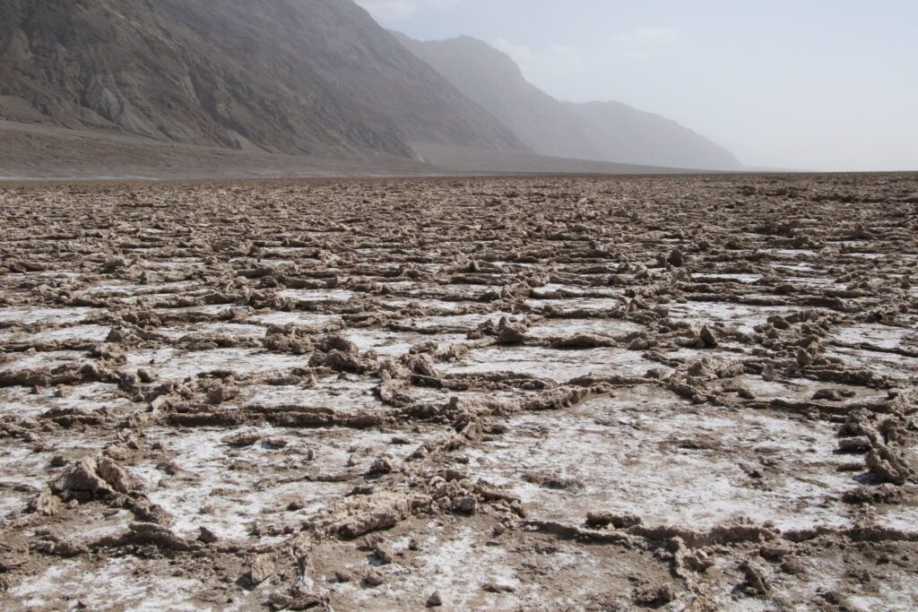
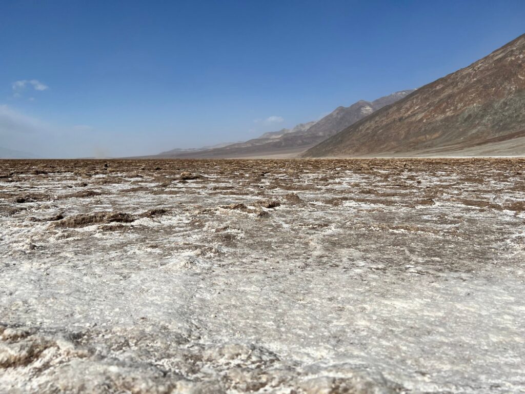
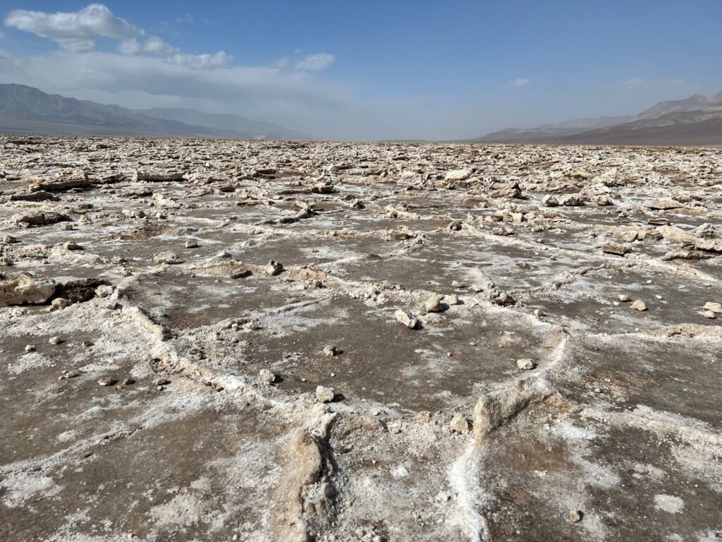
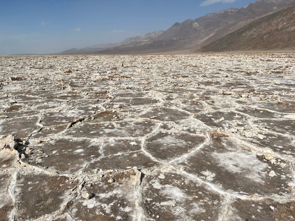
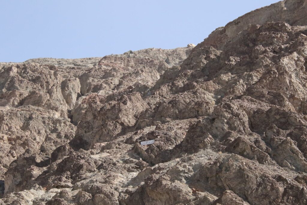
Here, the lowest point in America and the highest point in the continental United States are only 84 miles apart. The fascinating shapes on the ground below my feet are formed when groundwater rises up through the earth and evaporates, leaving behind the salty residuals from an ancient inland sea.
Natural Bridge
Driving back up Badwater Road now, there were so many spots to check out! Our next stop was the road to Natural Bridge. Though unpaved, we were able to make it the 1.5 miles with our rental van without a problem. From the parking lot, the trail to Natural Bridge is just under 1-mile, all uphill. The beautiful blue skies were a nice contrast to the canyon walls.
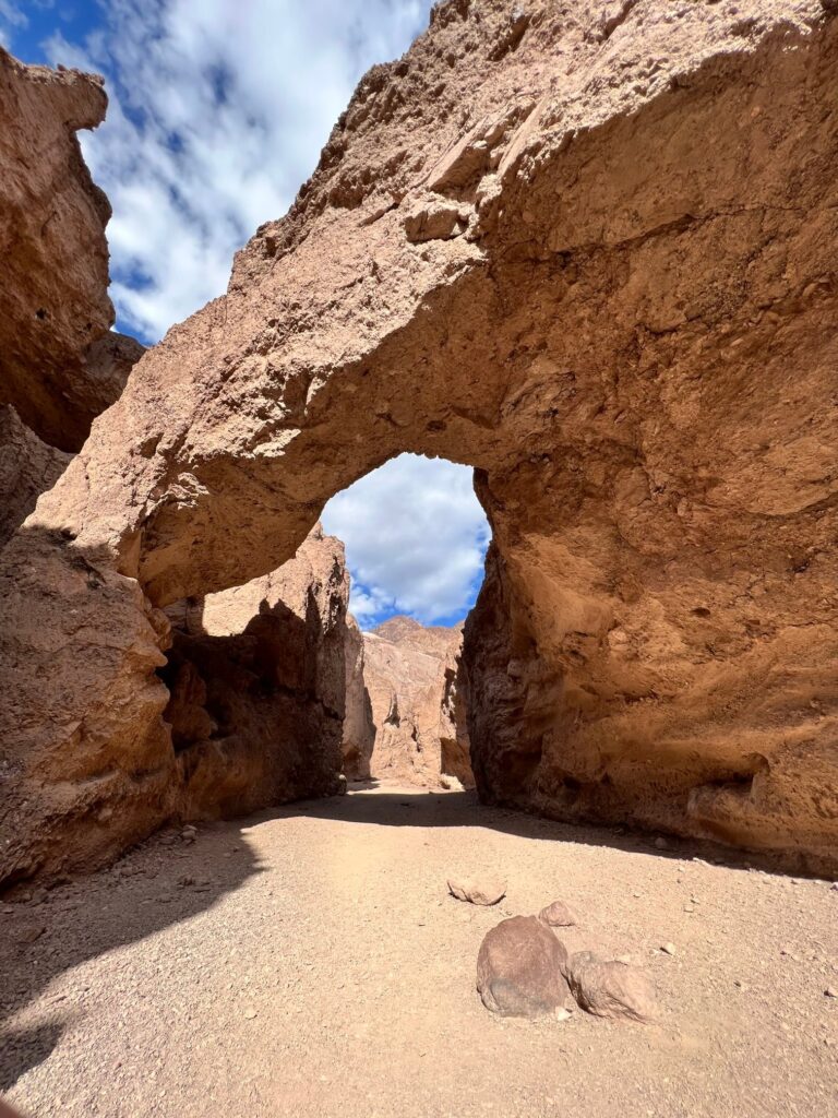
This was a short stop but definitely worth it in my opinion.
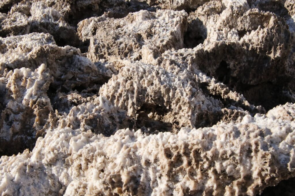
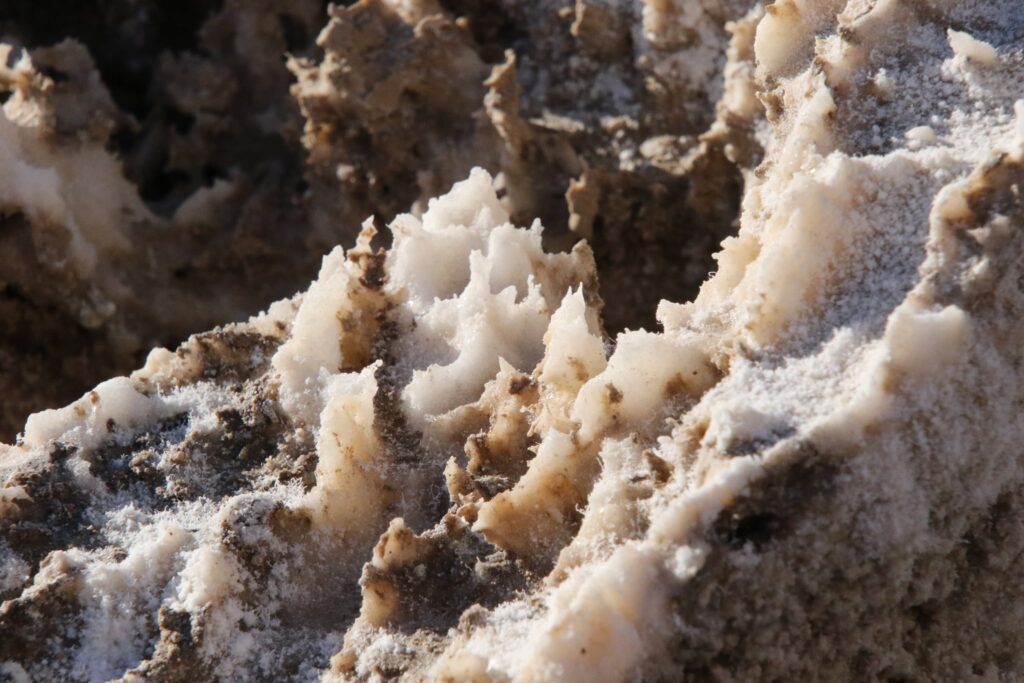
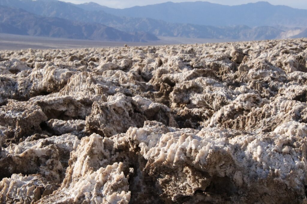
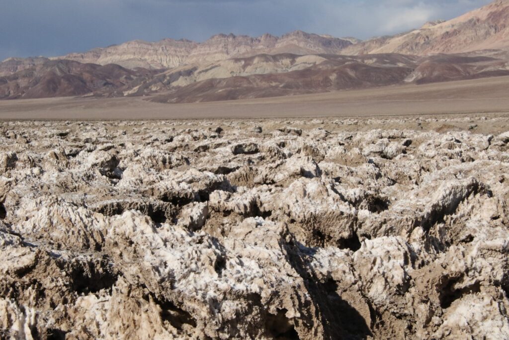
Devil’s Golf Course
Another quick stop, the Devil’s Golf Course was named for the odd and sometimes dangerously sharp mounds of salt that, again, form from the rising and evaporating groundwater.
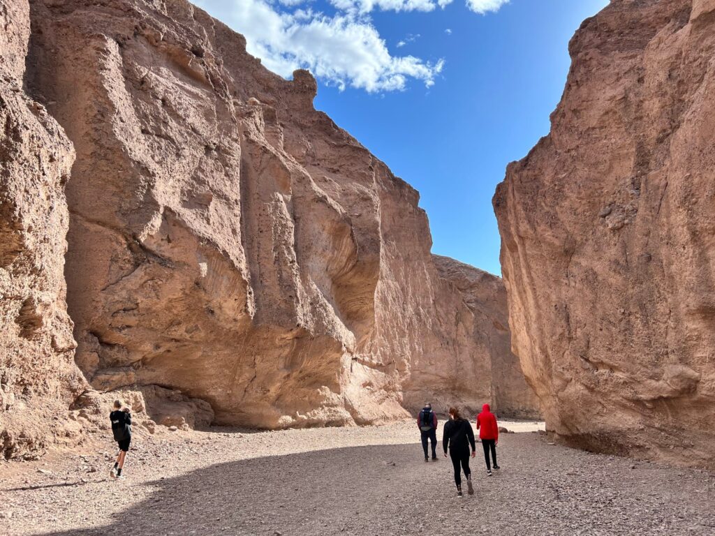
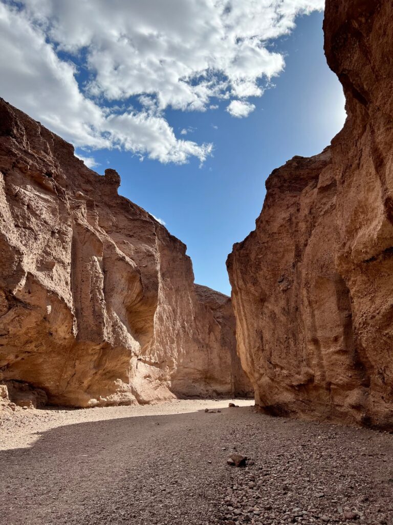
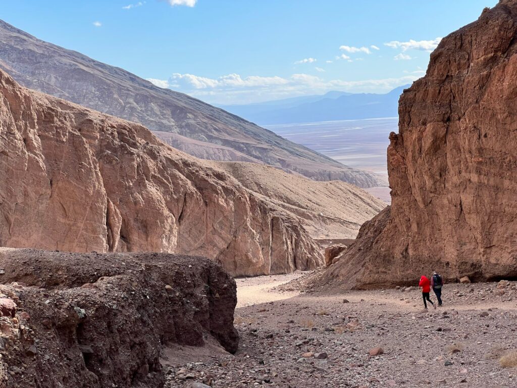
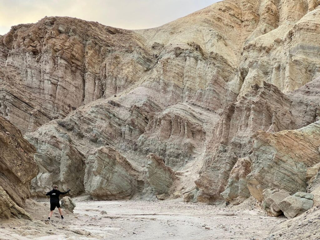
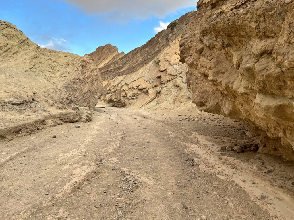
Artist’s Drive
Another detour off Badwater Road that is worth taking is Artist’s Drive. We made several stops along this scenic route.
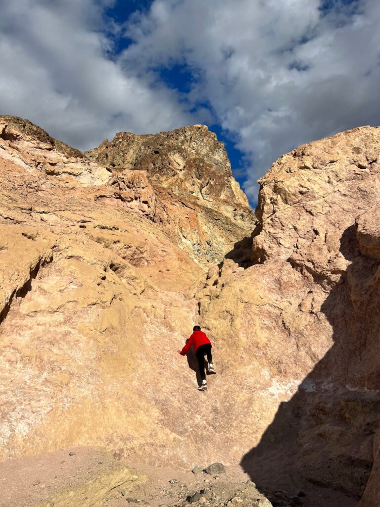
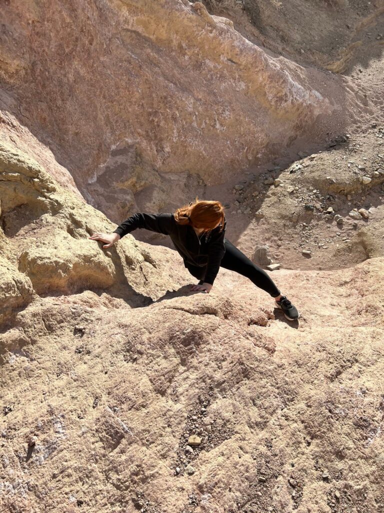
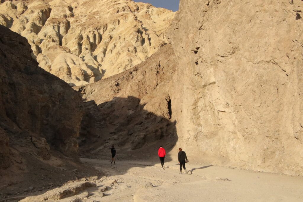
About 3 miles into the 9-mile artist’s drive, there is a little pull-off on the right. You will not find this canyon on the map but there is room for a few cars to park and explore this secret canyon here.
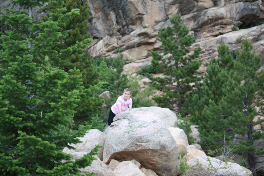
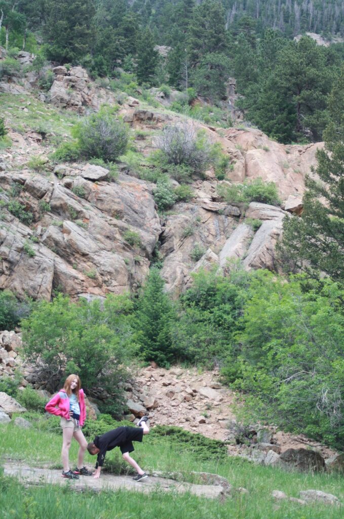
We hiked no more than half a mile in, but the kids enjoyed the rock scrambling along the way.
After leaving our secret canyon, the next stop was Artist’s Palette. The sun was getting lower in the sky which really brought the colorful hills alive.
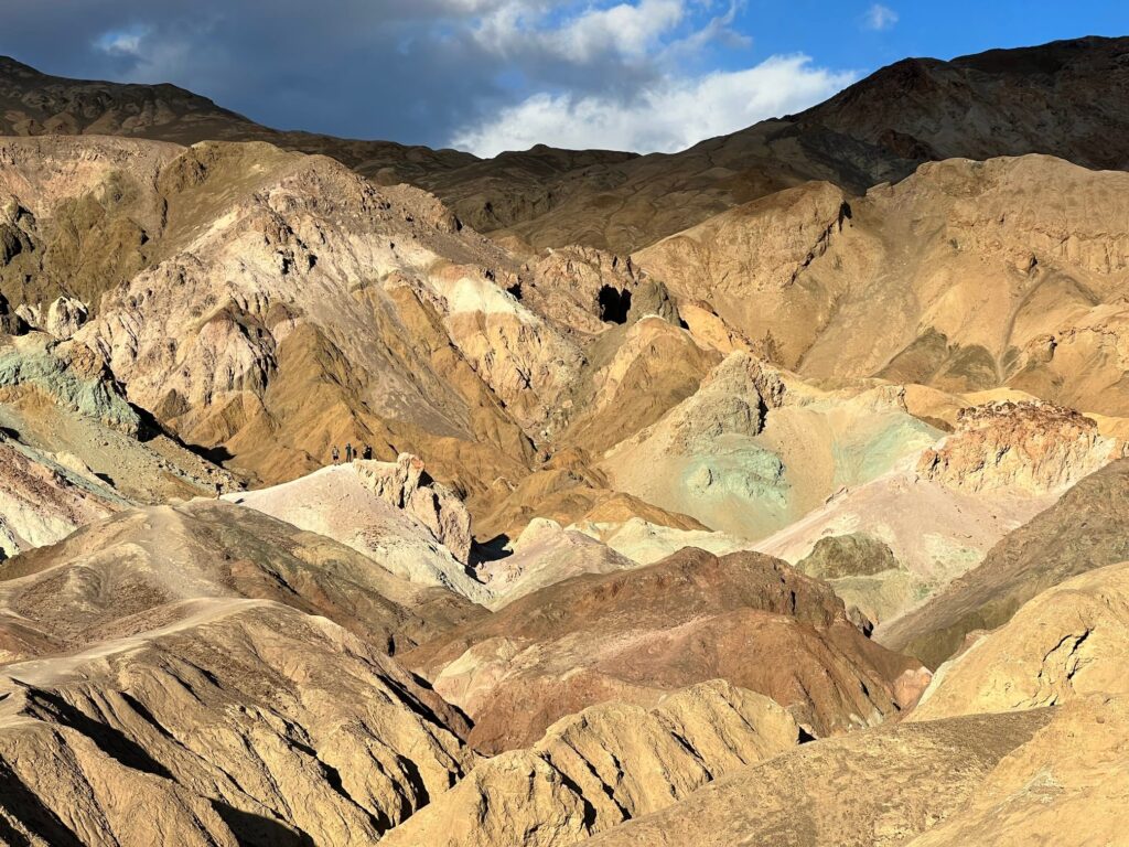
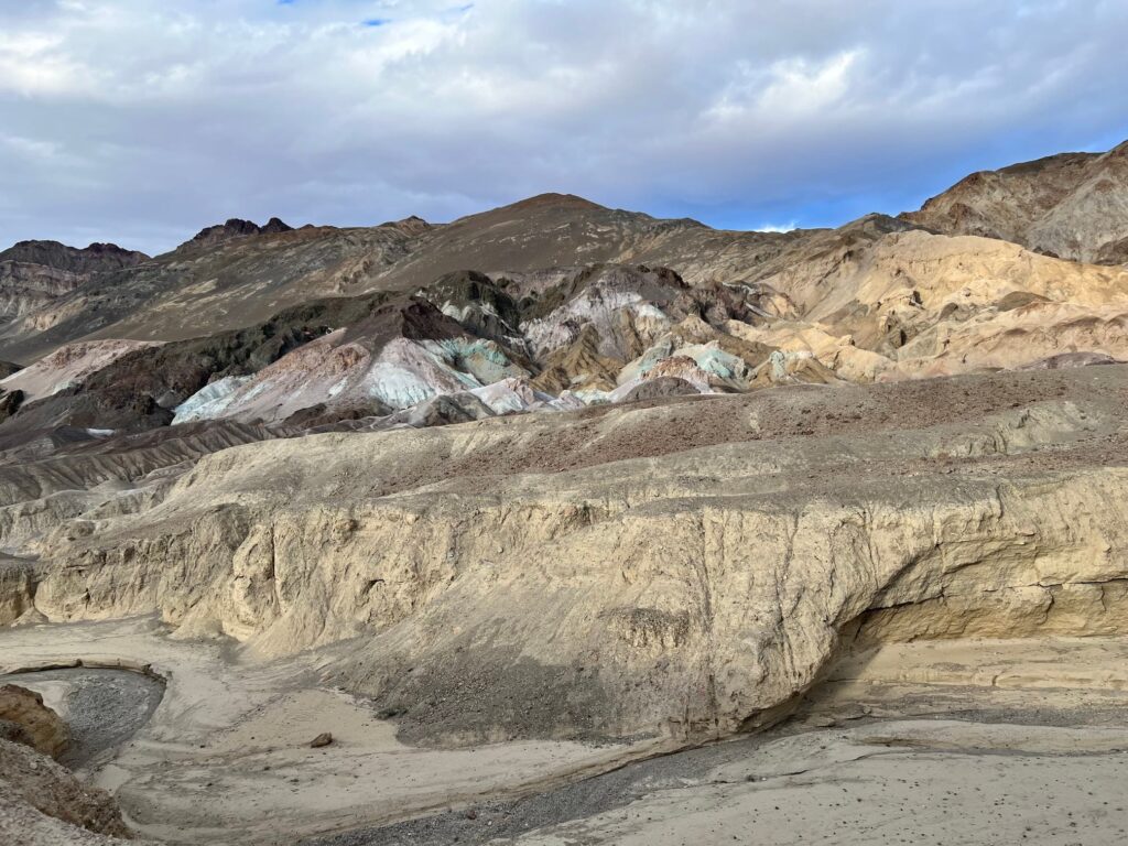
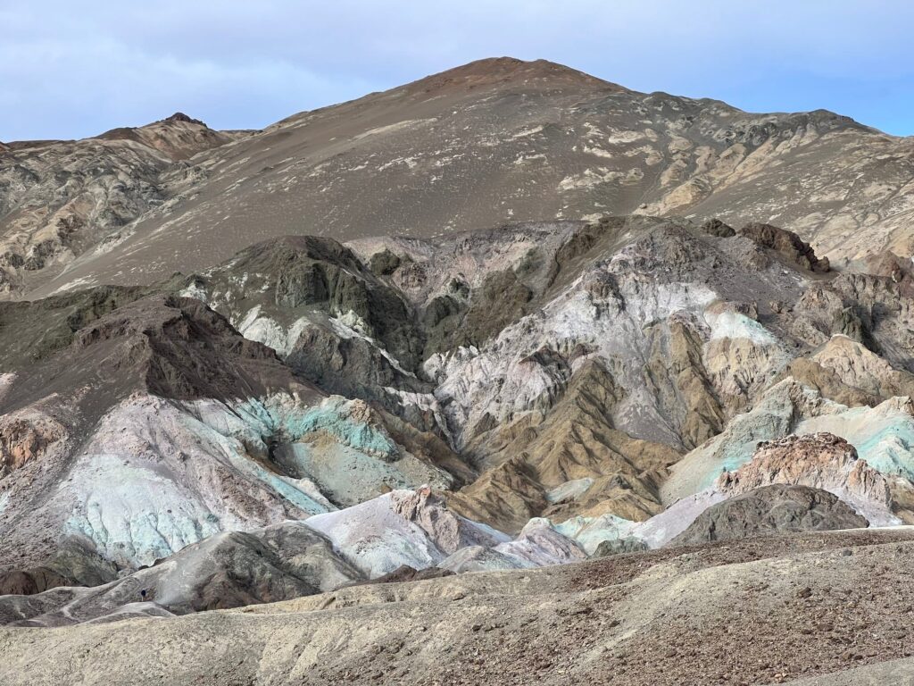
Artist’s Palette is a commonly photographed vista in Death Valley. The different colors are caused by the oxidation of different minerals. Iron turns red, Manganese turns purple, and Mica turns green. Just like us, the hills glow when just dressed up a little.
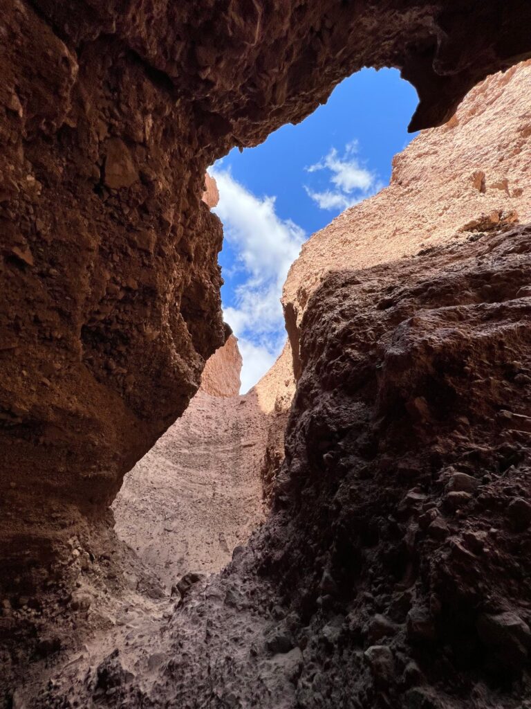
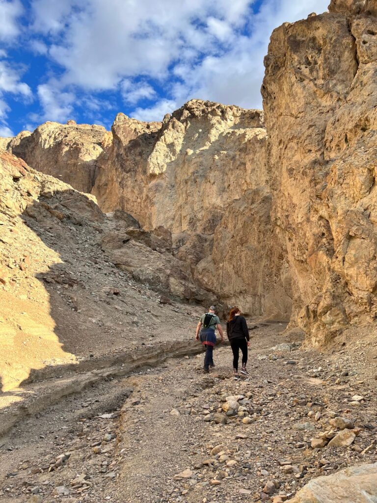
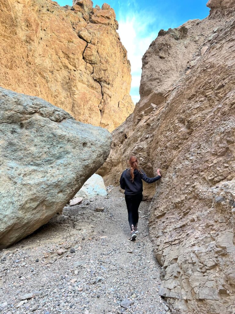
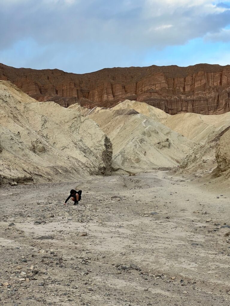
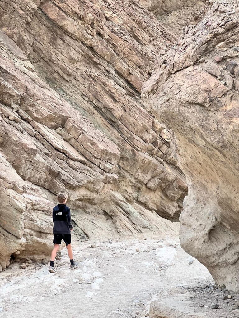
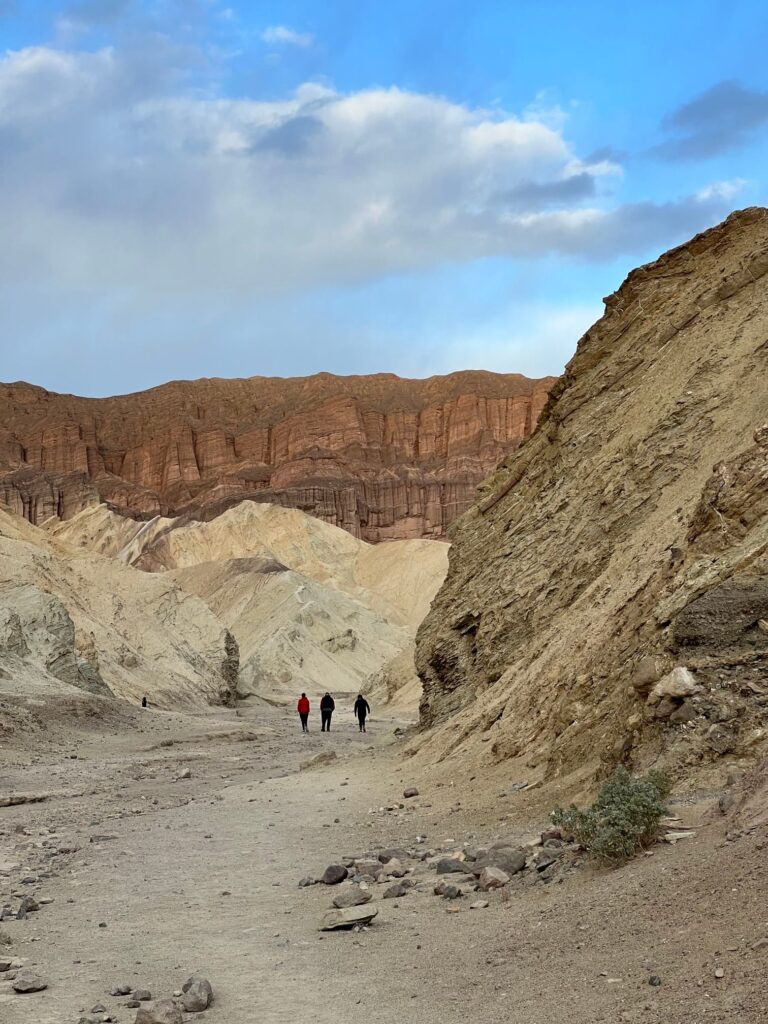
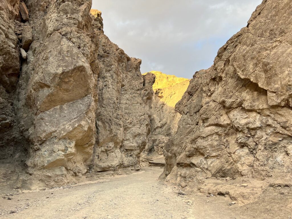
Golden Canyon
Our last stop on our first day was Golden Canyon. The Golden Canyon Trail would have taken us right back to Zabriskie Point where our day started but we were losing daylight and only hiked in about a mile before retracing our steps. The whole network of trails through this area can be found here.
Golden Canyon is also of special interest to Star Wars fans. It was here that the Jawas carried R2-D2 away in the 1977 film, A New Hope.
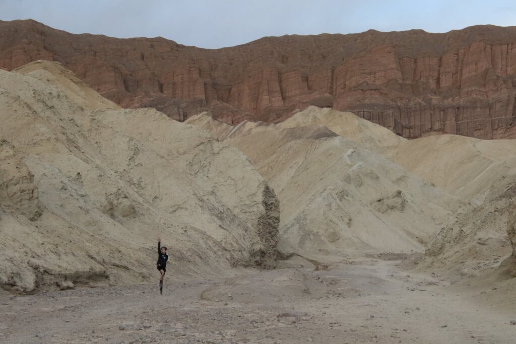
My family enjoyed the scenery, even if the droids were no longer around.
It was a very busy, very satisfying first day in Death Valley. We headed back to the lodge as the sun set to lay out plans for Day 2.
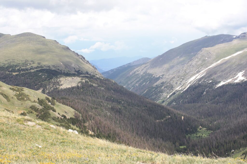
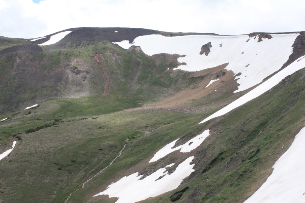
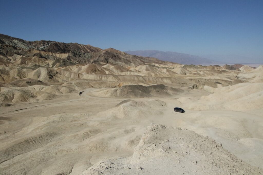
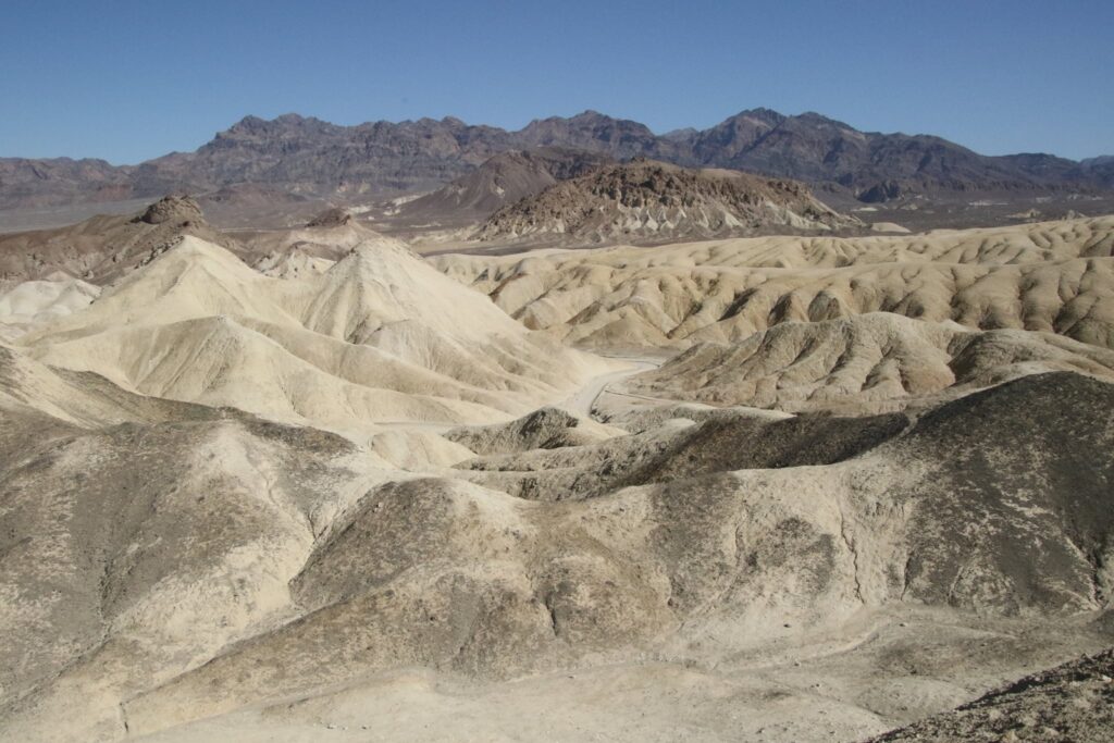
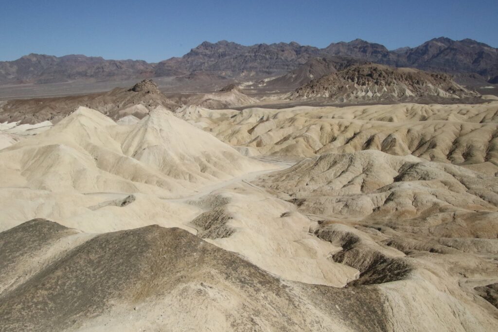
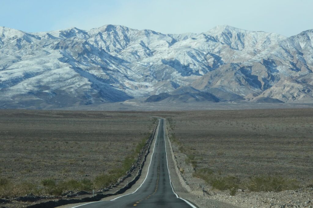
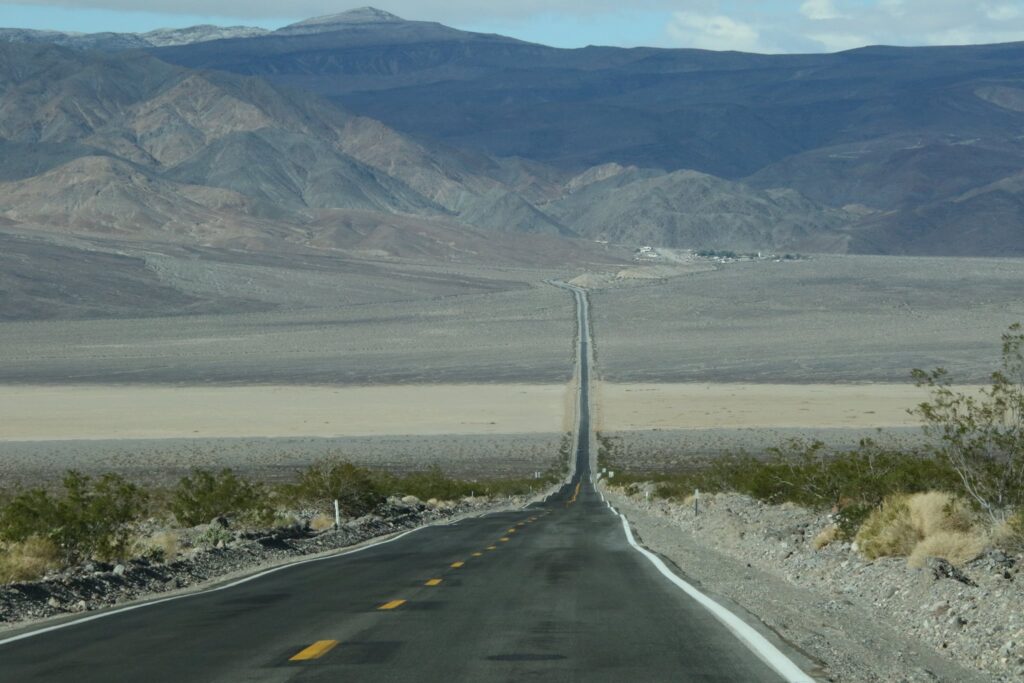
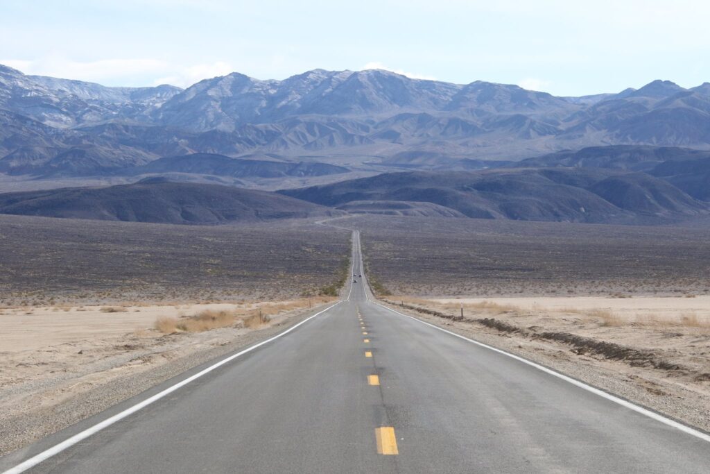
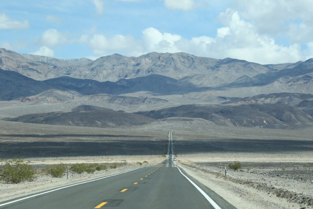
Rt 190
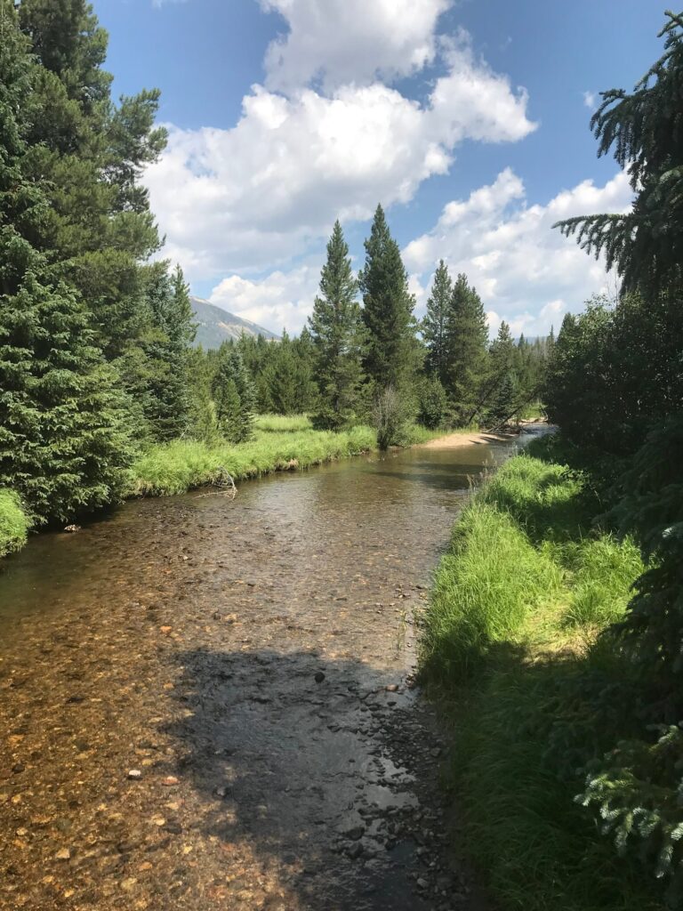
No trip to Death Valley can take place without driving the long expanse of road known as California route 190. This road crosses the park covering some 81 miles from the eastern park entrance sign to the western park entrance sign. We drove the whole distance, some of the most visually pleasing images of that drive are shown below.
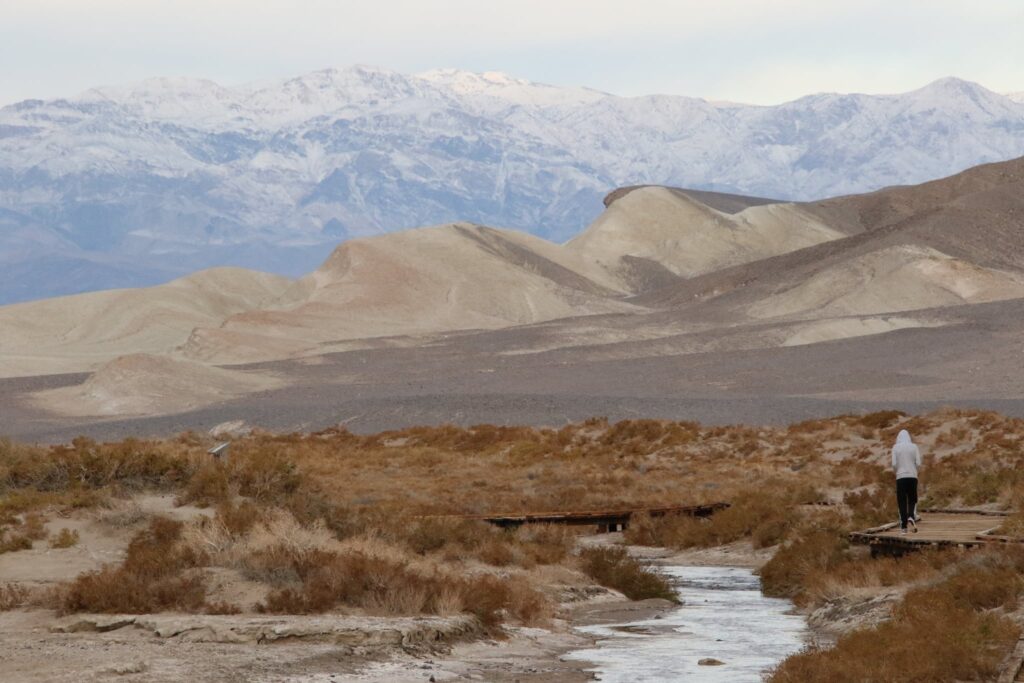
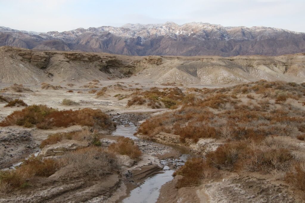
Salt Creek
Our first hike on day 2 was the Salt Creek Interpretive Trail. This .5 mile lollipop loop trail traces the quiet Salt Creek, home of the Salt Creek Pupfish. From the parking lot, a boardwalk path snakes over and around Salt Creek, which flows in winter and spring. The playful-looking pupfish were easy to spot in the creek. The have adapted to very warm waters as well as salinity twice that of the ocean.

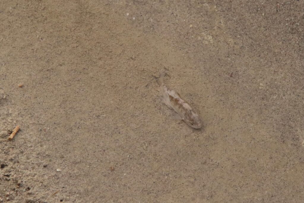
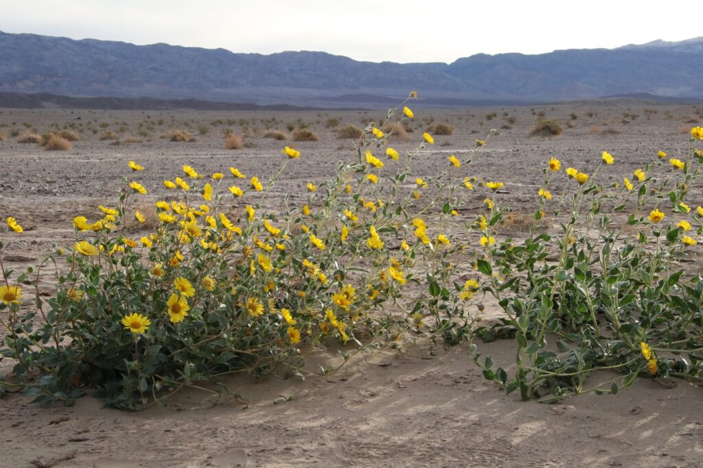
It was here, along Salt Creek, that the persistence of life really becomes obvious. Death Valley, despite its name, is not a harsh desert wasteland at all. It is full of plants and animals uniquely adapted to their environment, scratching out their lives, finding a way to survive. It should serve as a good reminder to humans that life is both fragile and resilient, that our environments dictate our success based on our unique strengths, and that unlike the pupfish, we can change that.
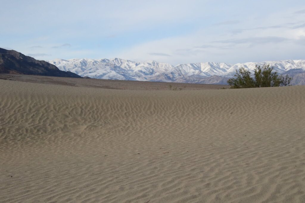
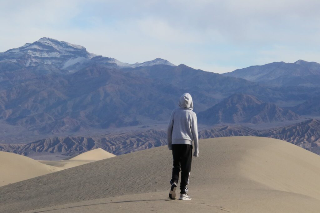
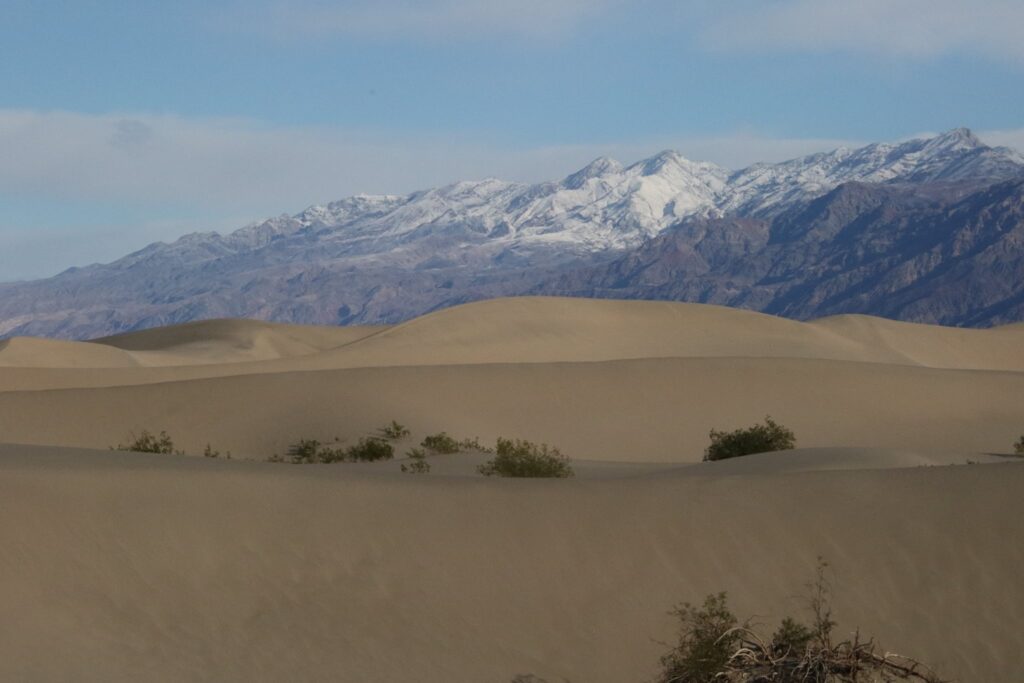
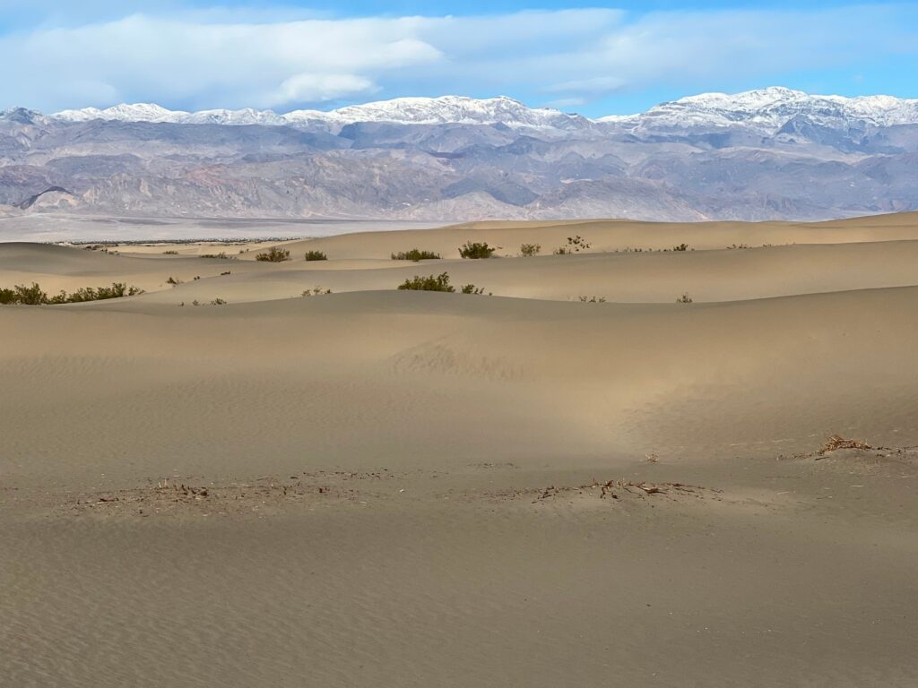
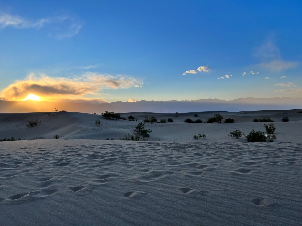
Mesquite Sand Dunes
As a kid, I thought desert meant sand as far as the eye can see. Though I have visited many desert regions, I had not encountered inland sand dunes until a trip to Great Sand Dune National Park in Colorado. The Mesquite Sand Dunes were just as grand. We arrived early to view the ripples in the sand free of foot prints, it was majestic.
U2 Joshua Tree Shrine
On a lark, I looked up the coordinates for the site of the U2 photo shoot for the album Joshua Tree. I learned that the tree was gone, but that a shrine had been erected amongst its decaying branches. I had to check it out.
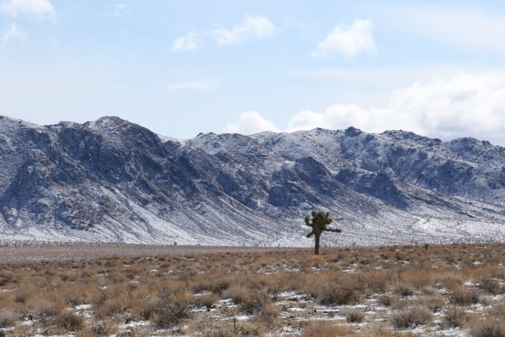
Located just outside the western park entrance, the drive there itself was spectacular. I love Joshua Trees. If you do too, you can view more of them by visiting my post on what to do in Joshua Tree National Park here. I was pleasantly surprised to drive into the proper environmental conditions again in Death Valley and to see the trees with a dusting of fresh snow against the equally powdered mountains.
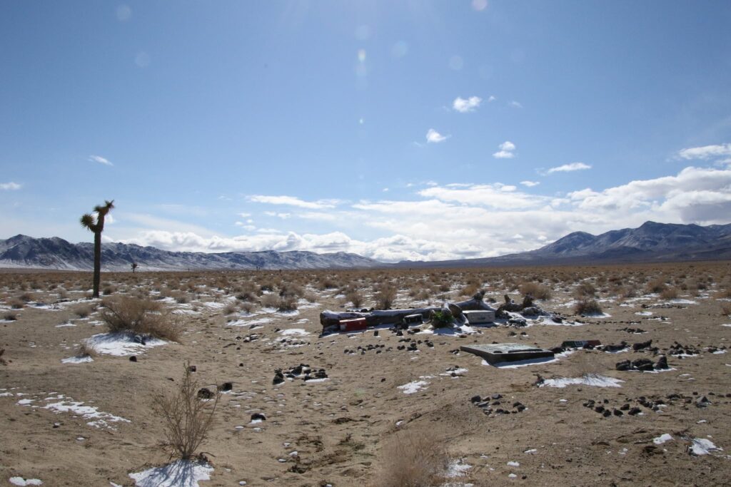
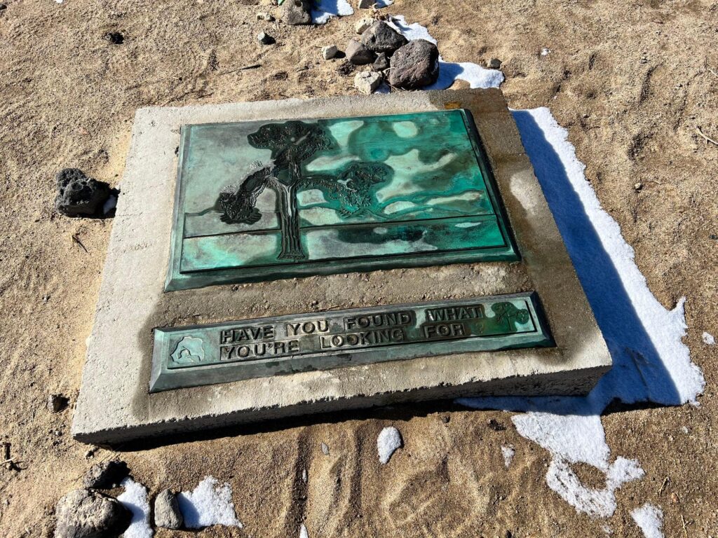
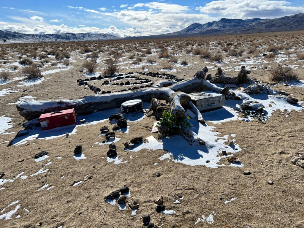
The shrine was easy to find and felt so adventurous! The GPS coordinates led to an open expanse, we just pulled off of CA 190 and started walking. If you are a fan of the band this is a cool stop to check out!
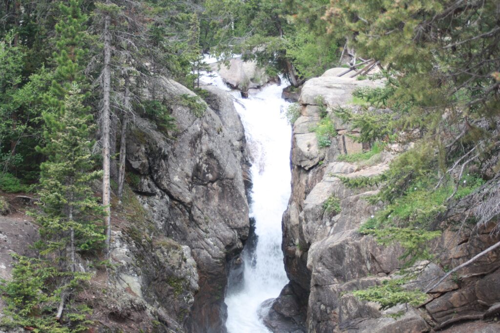
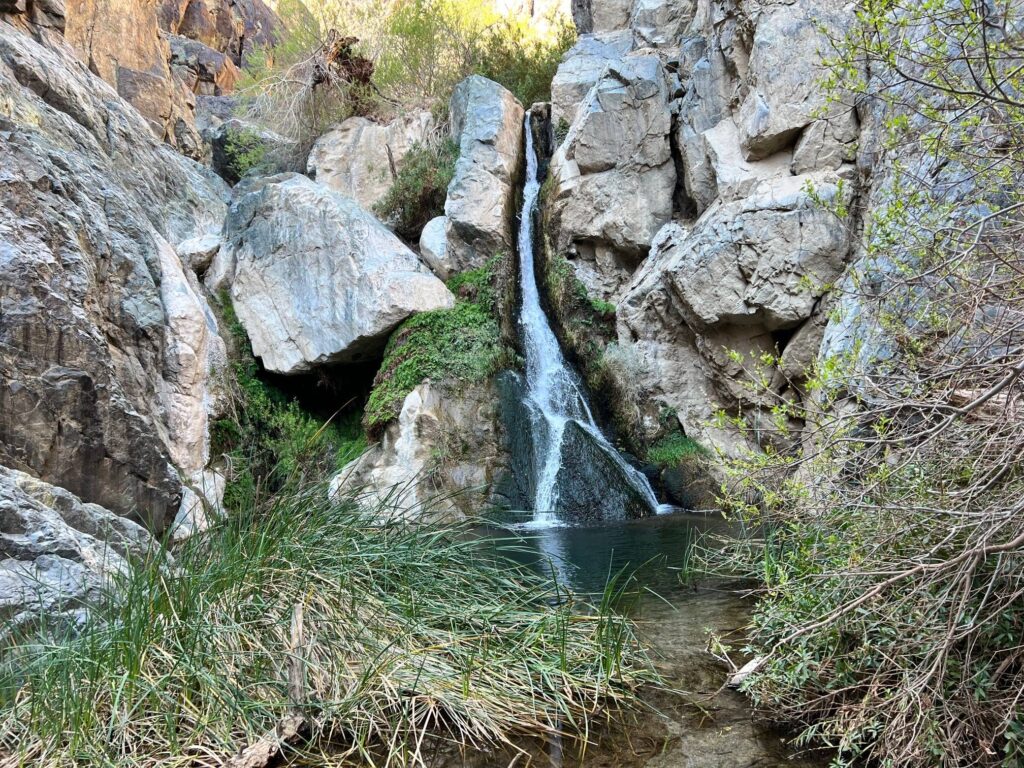
Darwin Falls
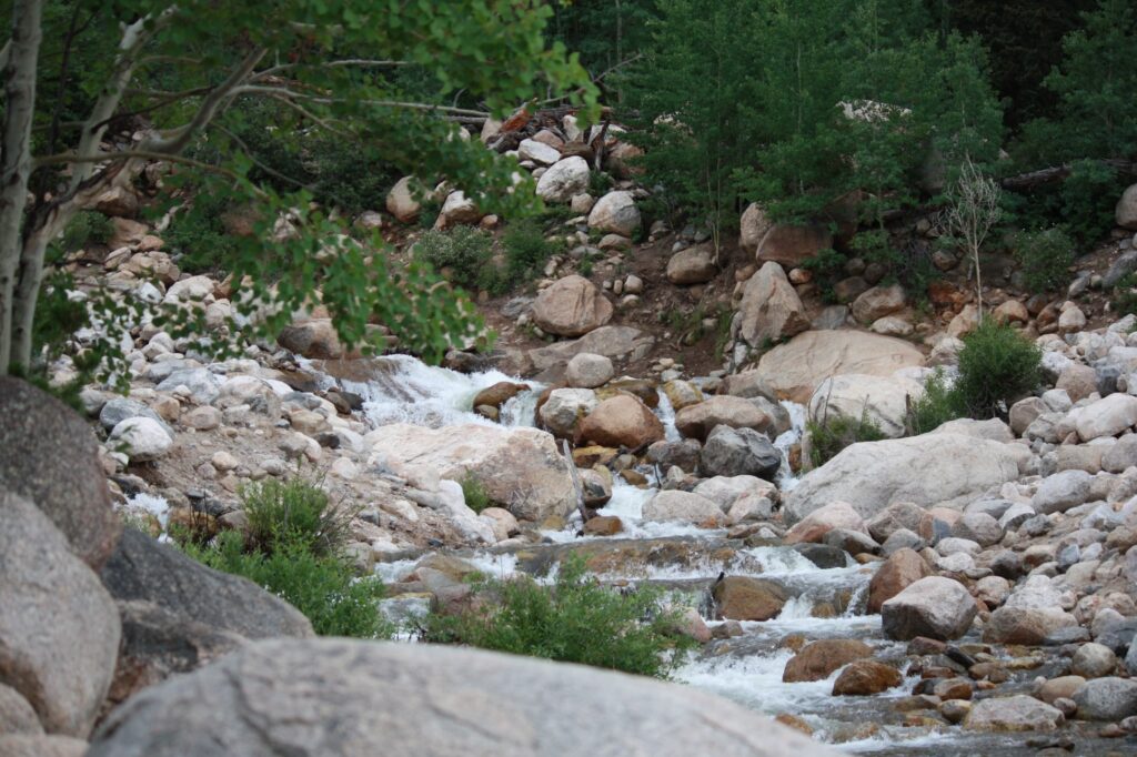
There is water in Death Valley! We took a rough dirt road two and a half-mile off the main route to get to the trailhead for Darwin Falls. We then hiked the roughly 1-mile trail to the waterfall.
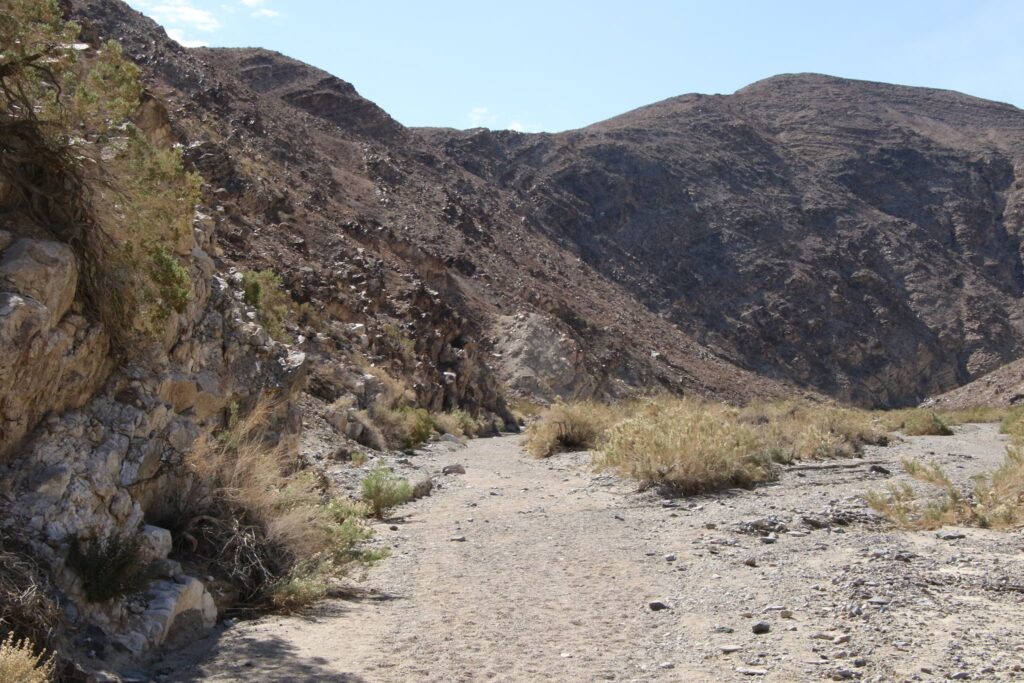
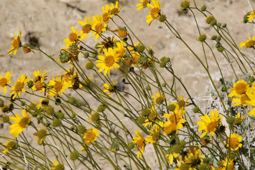
My family was having a difficult time believing me when I said we were hiking to a waterfall. The hike started up the canyon through a dry creek bed. After half a mile, there was some green in the vegetation and we even saw some flowers blooming….but still not water.
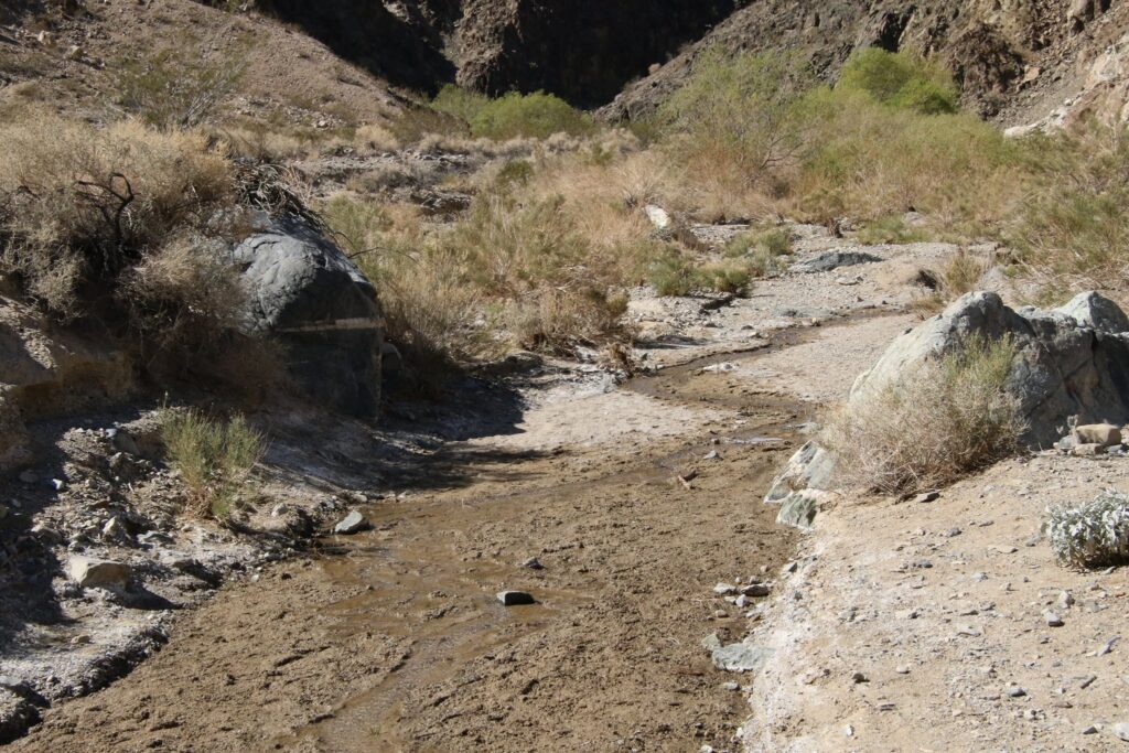
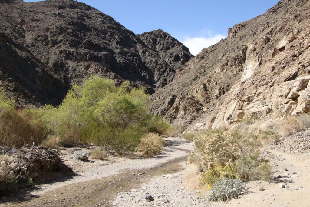
Eventually, and almost out of nowhere, the ground became damp. The trees grew taller. We could hear and see songbirds! At about 18 feet high, Darwin Falls was indeed a unique spot to explore in Death Valley.
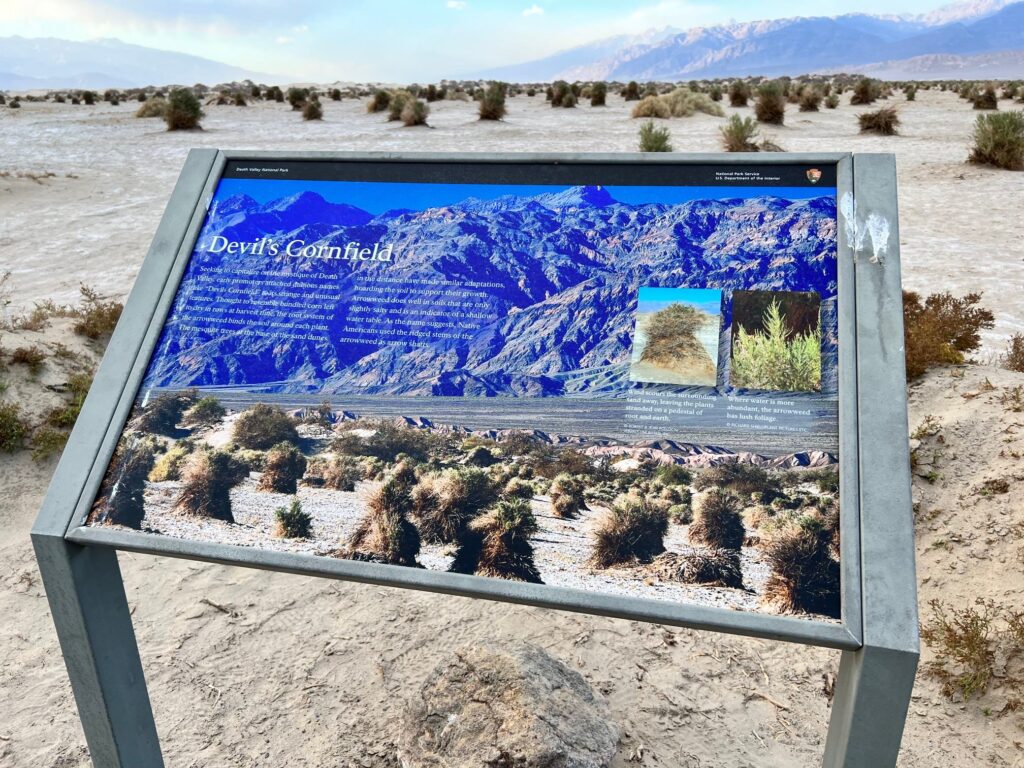
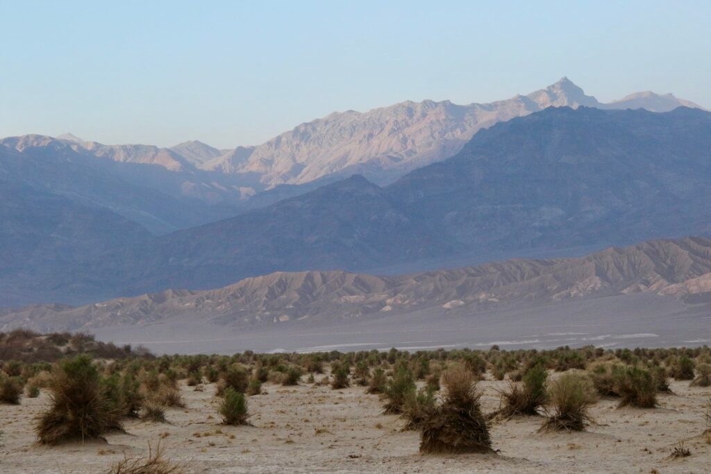
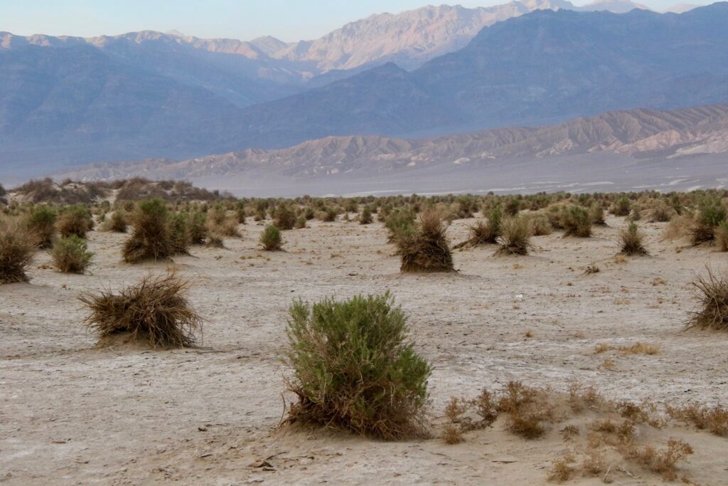
Devil’s Corn Field
A quick stop along Rt 190, these Arrowweed shrubs grow in formations that resemble bundled corn. Almost looking like they are planted in neat rows, this was an interesting enough roadside attraction to stop at and take a photo with the mountains behind them.
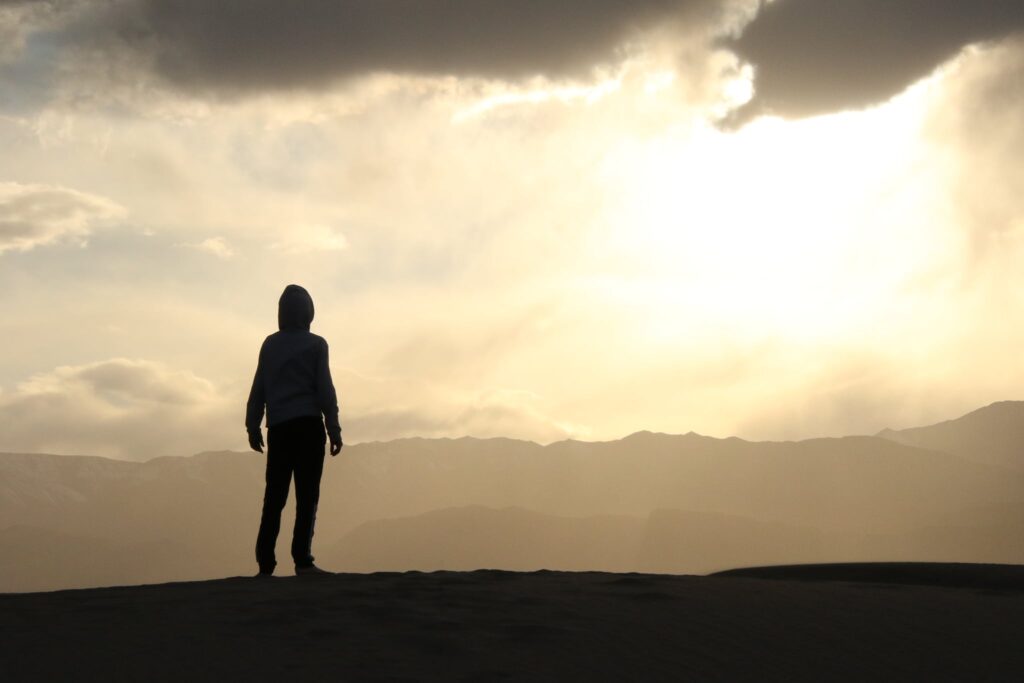
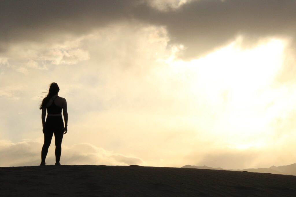
Sunset over the Mesquite Sand Dunes
The sun was setting on another adventure. The kids wanted to hit Mesquite Sand Dunes one more time in order to act out their own version of Luke Skywalker staring off into a Tatooine sunset (0r two, they believed the second sun was hidden behind the clouds). Cue in Binary Sunset by John Williams, I think they captured it pretty well.
There are more adventures to come. Follow along by subscribing below!