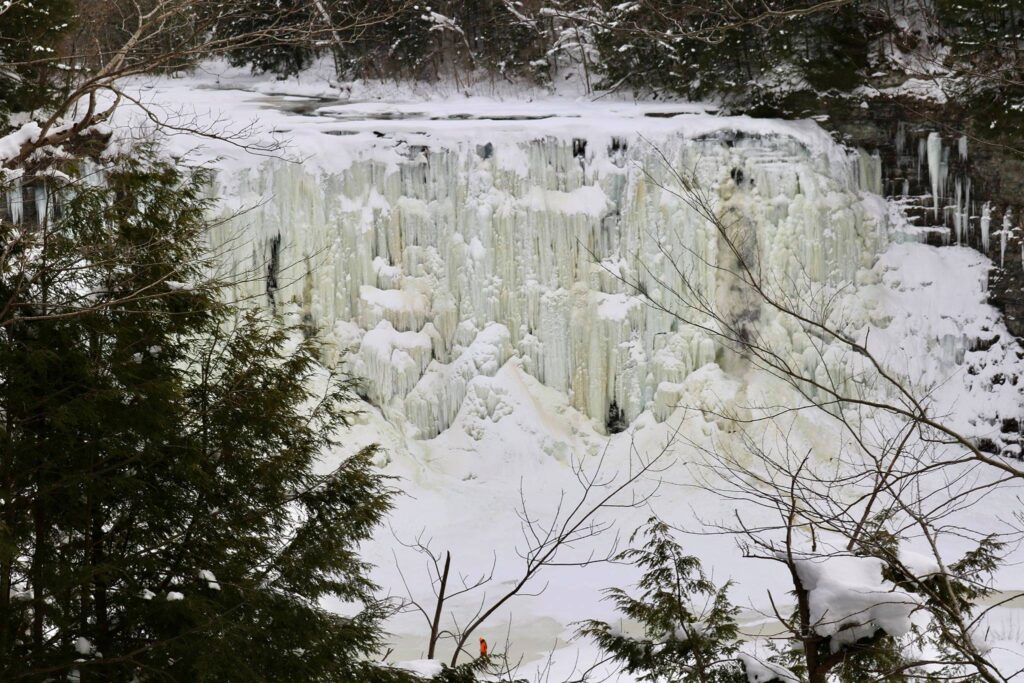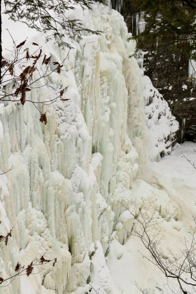
For a change of scenery, we headed to the Adirondacks in February. I had three goals, to visit the Wild Center in Tupper Lake, to relax in a cozy cabin, and to hike the Tupper Lake Triad! We used Airbnb to find a cabin for 3 nights and booked advanced tickets to the Wild Center then packed up all our warmest gear and set out! This post will take you on my quest to complete the three summit hiking challenge centered near Tupper Lake.
Mount Arab
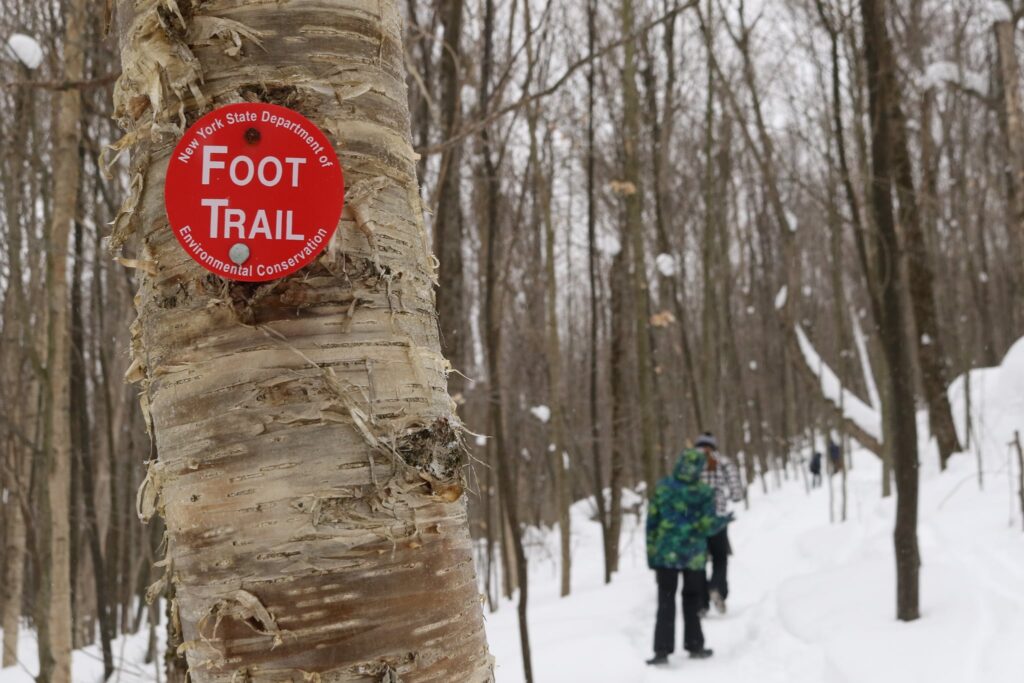
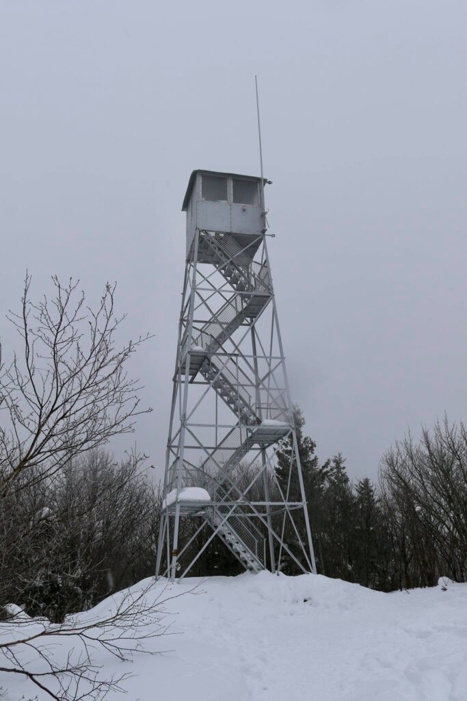
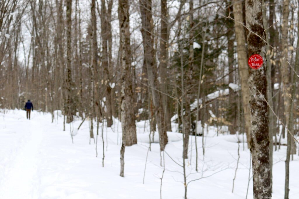
The Tupper Lake triad can be hiked in summer or winter and consists of three small peaks. This will not cross any 46ers off your list, but they are also not to be taken lightly! The first hike we attempted as a family was Mount Arab. It was the shortest of the 3 hikes at 2.0 miles round trip, but also the steepest with an elevation gain of 764 feet over 1 mile.
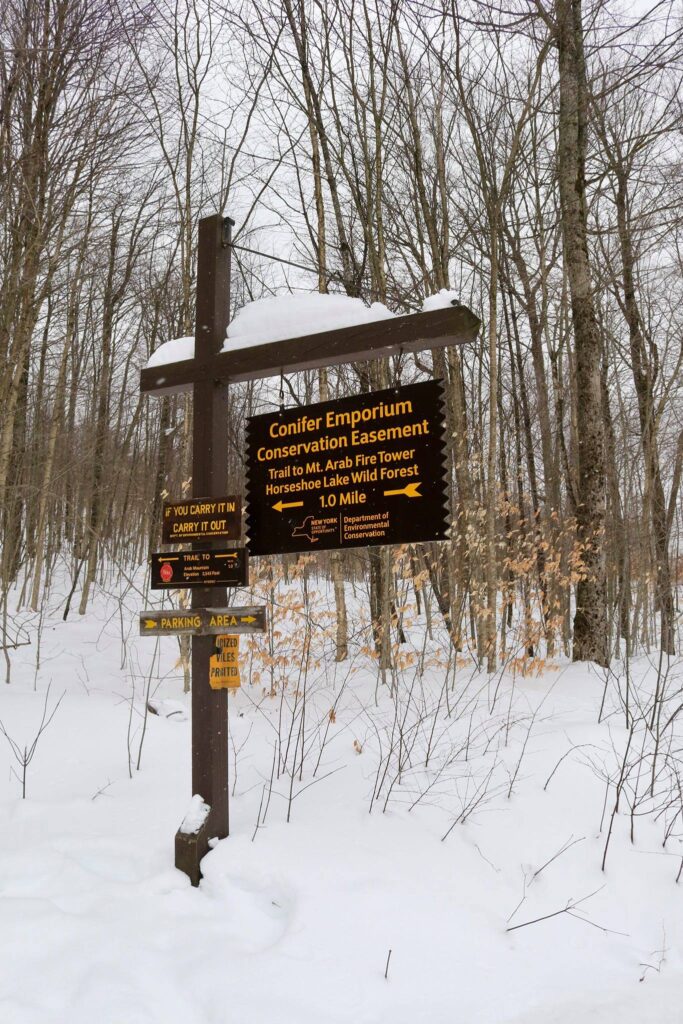
The trailhead was easy to find and even with recent snowfall, the roads were clear. The parking area can be found here.
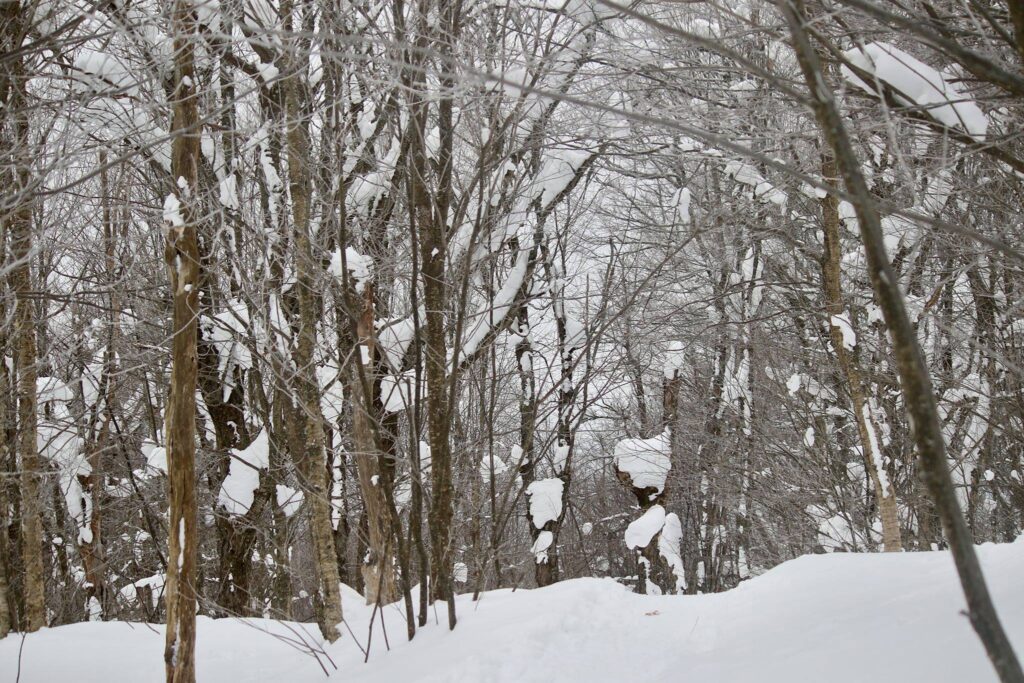
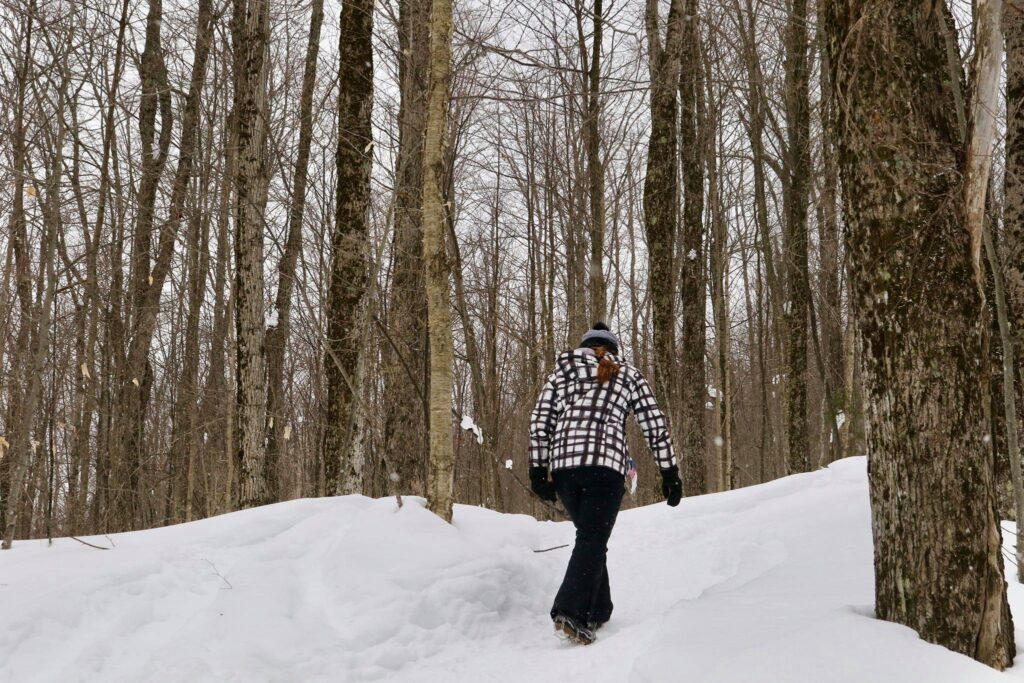

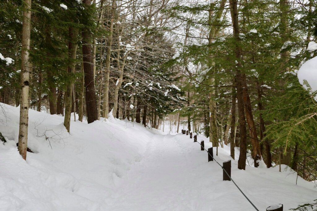
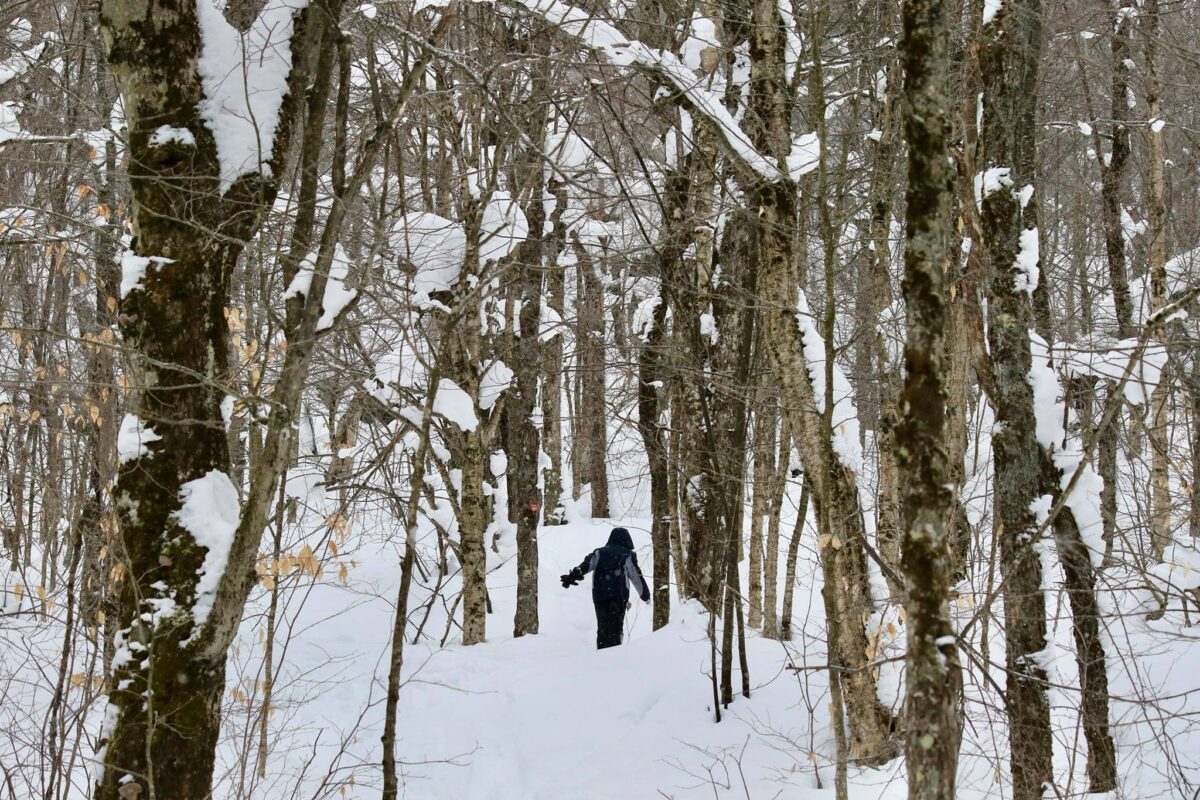
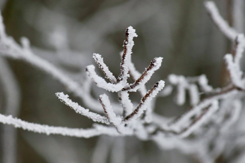
Depending on which family member you ask, the hike up was either grueling, miserable, challenging, or fun. The trail was well packed with evidence of hikers, snowshoers, dogs, and even skiers preceding us. We had a couple of pairs of crampons, but one adult and two kids just hiked in winter boots. As we neared the top, the vegetation became icy. It was a cold day, in the upper teens.


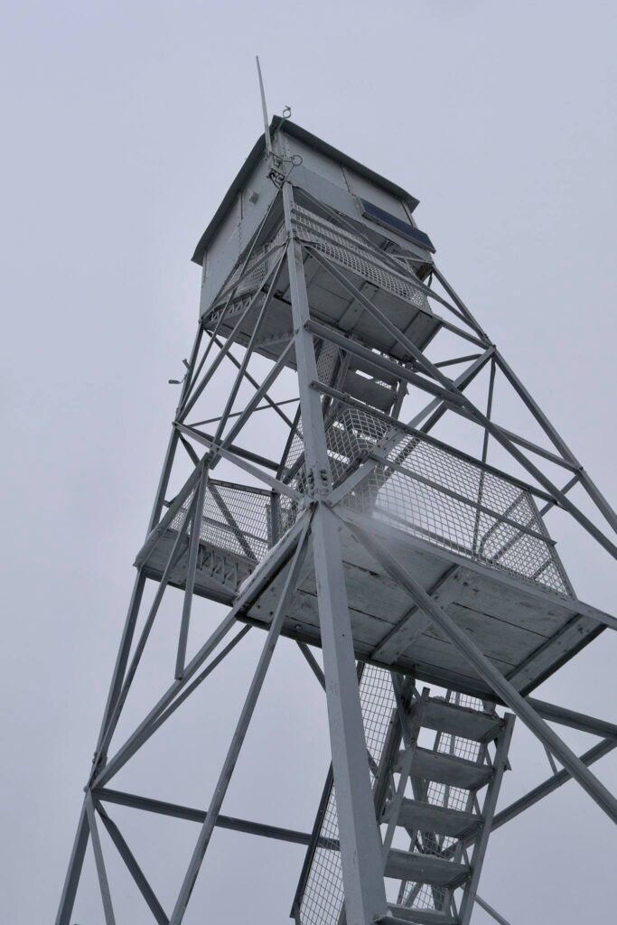
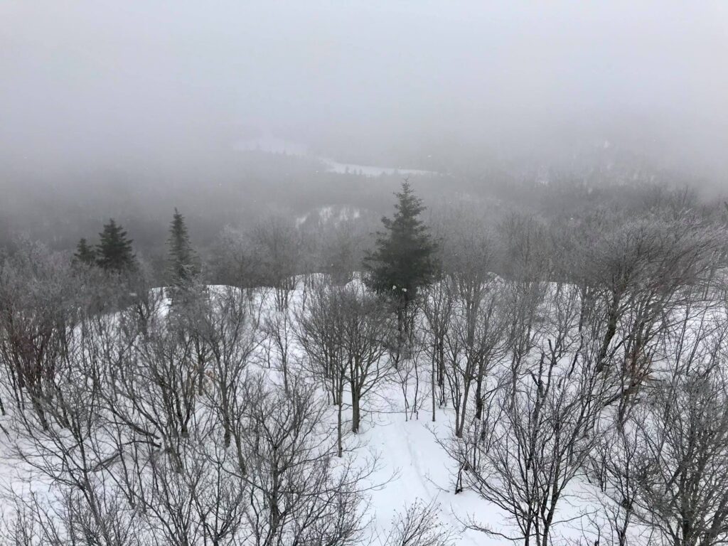
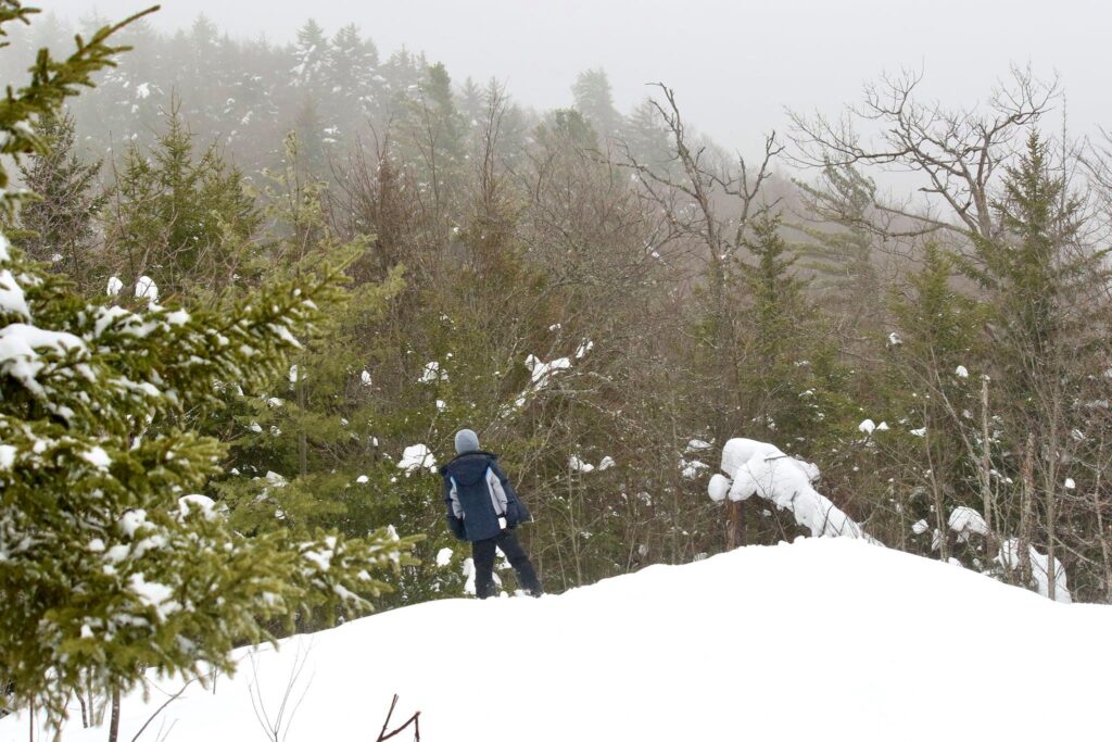
At the top, three of us climbed the fire tower. Though the view was obscured by the incoming snow, the feel of the cold and sting of the wind made it an invigorating experience.
The descent was much quicker. The steepness of this trail occasionally allowed (required?) some sliding down on our bottoms. It was nice to hear the squeals of happy children and not their whines of discontent.
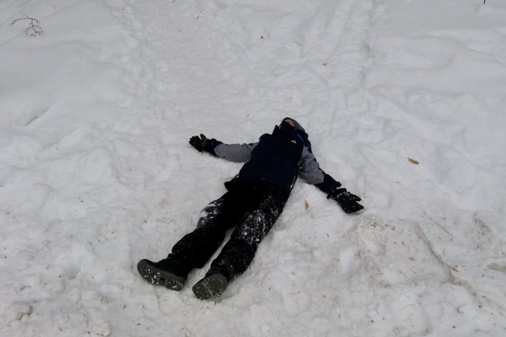
I hung back to enjoy a moment of quiet and my family beat me back to the van. I returned to see my youngest lying in the snow, tired but clearly pleased by his accomplishment.
Goodman Mountain
Day 2-The adults set out for an early morning solo hike while the kids did what teens and preteens like best, lounge. In our house, this means watching TikToks and playing Minecraft. Sigh. But it is vacation, right? Everyone should get a chance to relax.
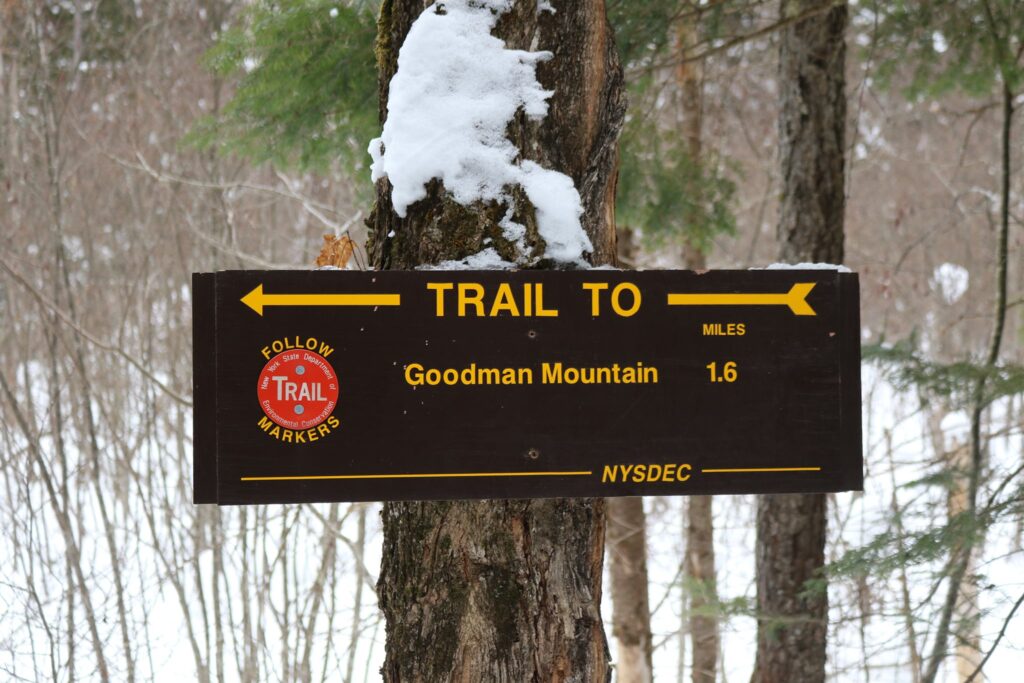
The Goodman Mountain hike was the longest in the challenge at 3.2 miles. It was much gentler in its ascent though, rising 581 feet over that first mile and a half.
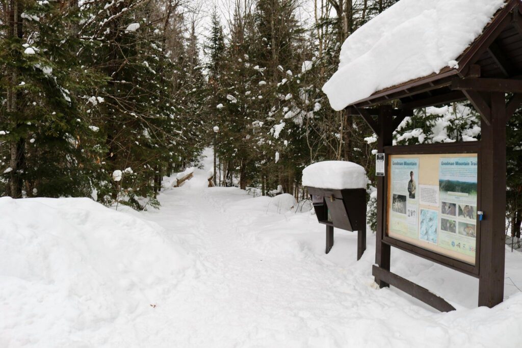
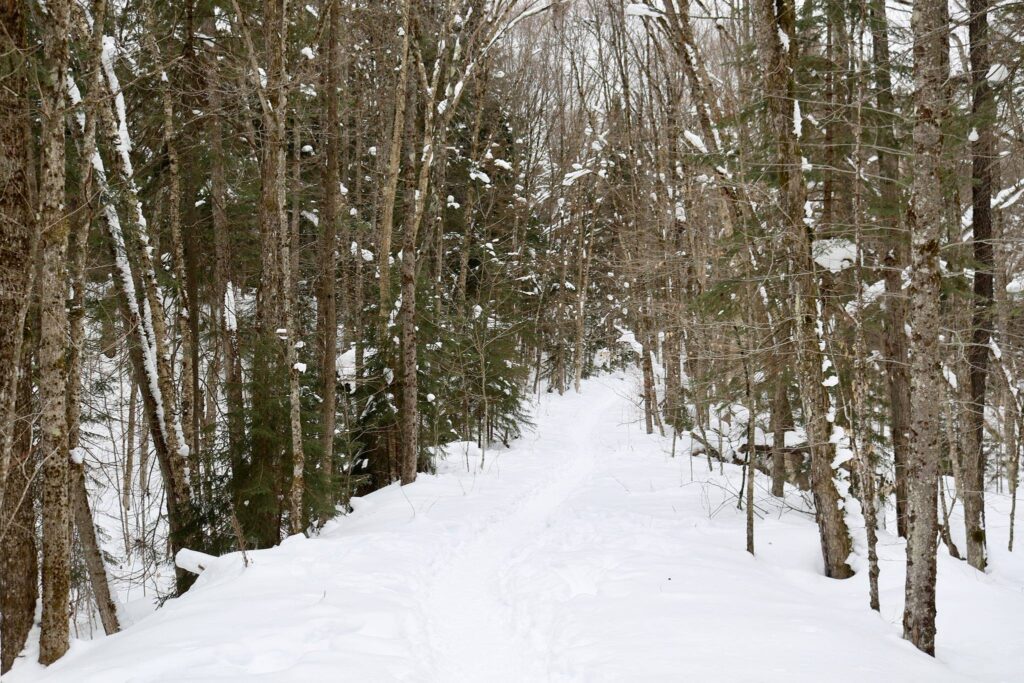
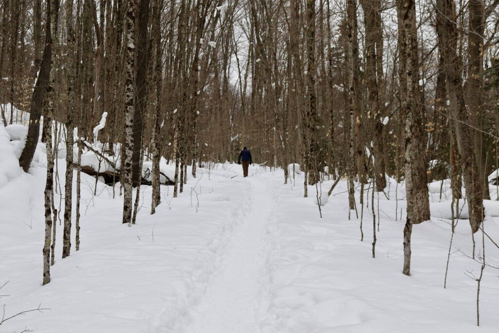
The trailhead is located right off of route 30, just south of Tupper Lake. The walk started very gradually. It was nice to breathe the fresh air and hear the quiet. My husband and I walked along, mostly in silence. Compared to the previous day’s moderately strenuous climb to Mount Arab, this was a much more leisurely hike.
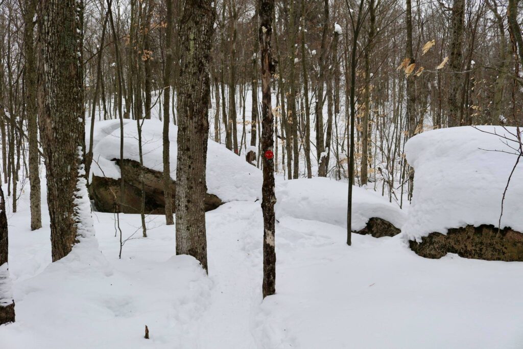
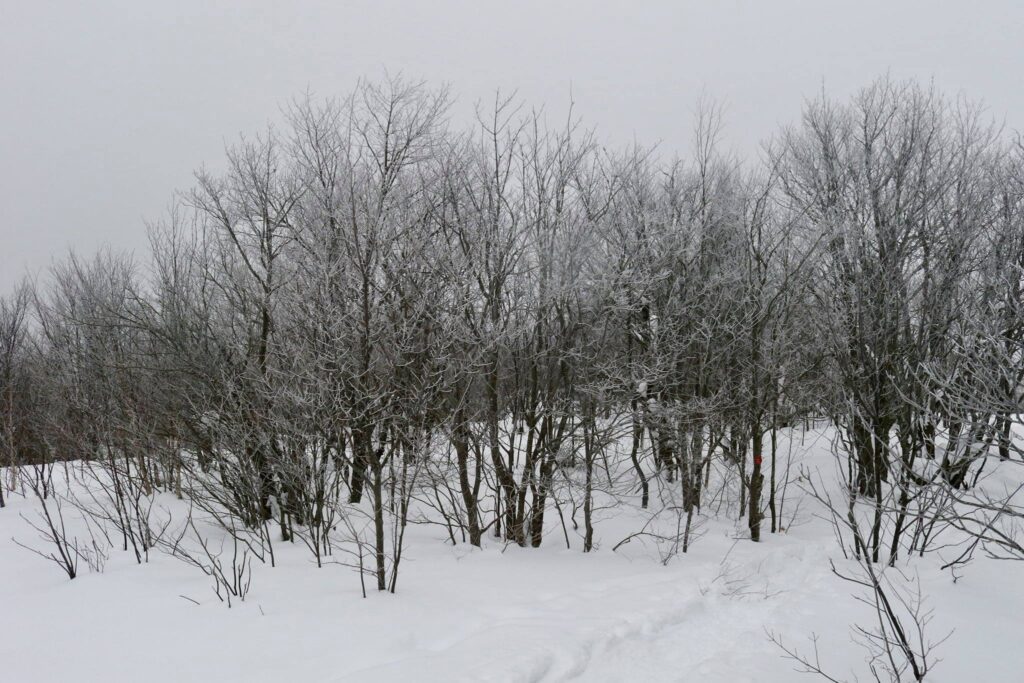
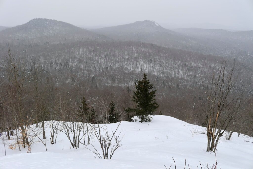
Once at the top, we sat on a rare, exposed rock and took in the view. The snow was starting to fall again. It was lovely.
Coney Mountain
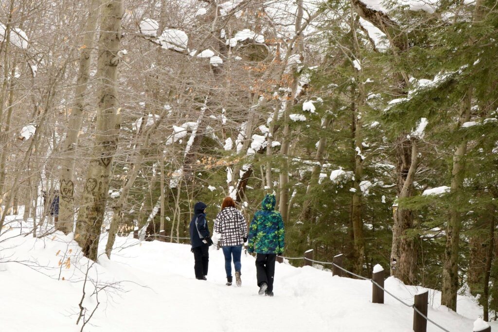
Day 3 and our final hike in the challenge. This time the kids came with us! But did everyone make it to the top?
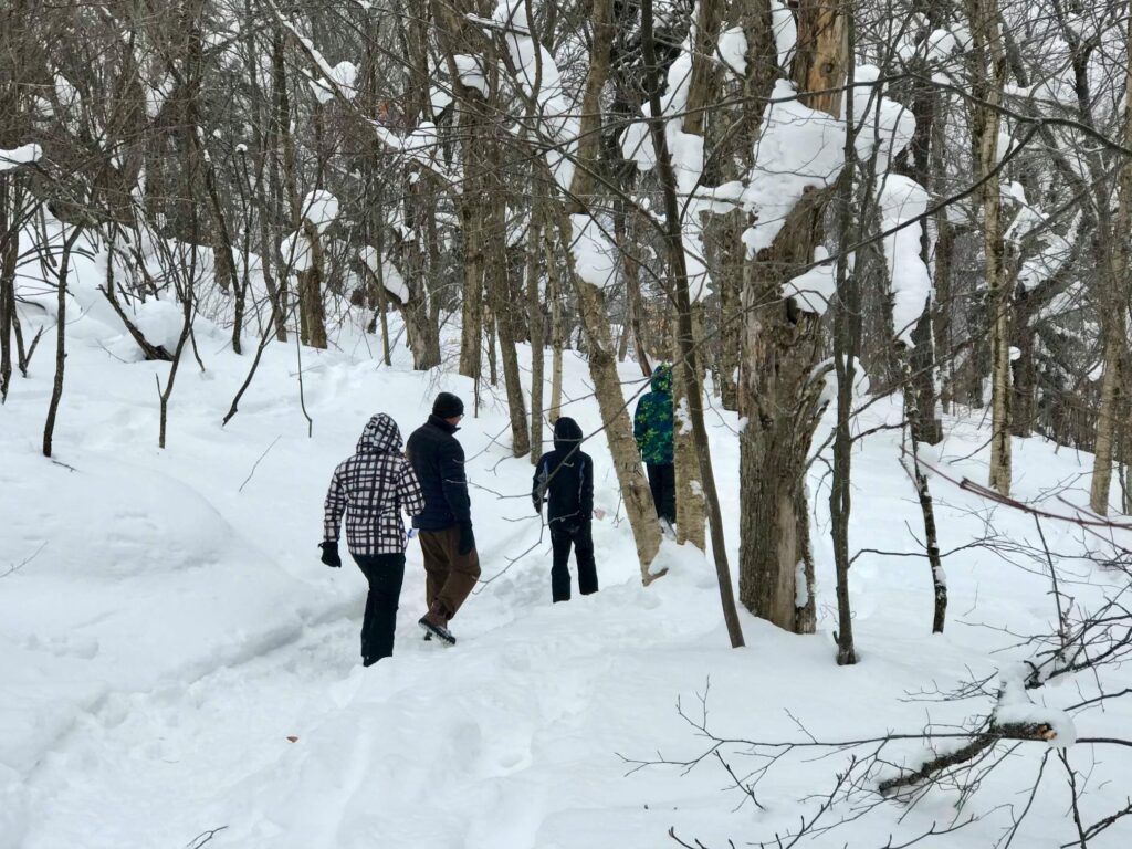
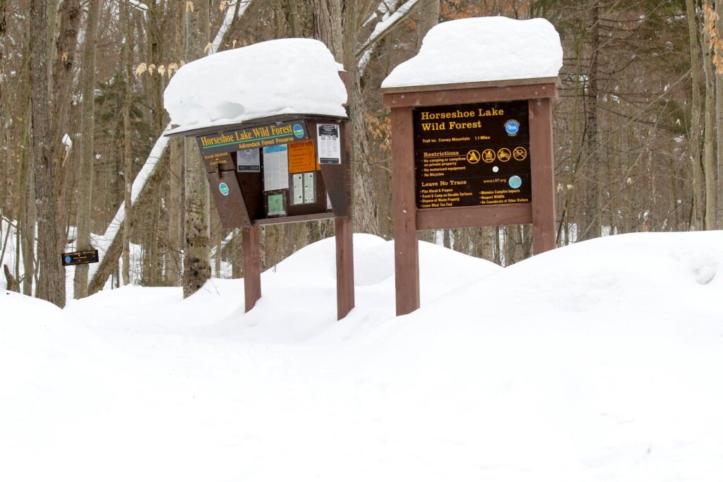
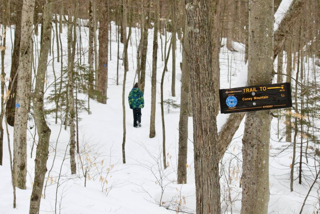
The Coney Mountain trail (trailhead parking found here) was 2.2 miles roundtrip with an elevation gain of 548 feet. The parking area was at the top of a slight incline that had not been plowed. Our minivan made it up on the second try, but on very snowy days, it might be a better option to park on the side of Route 30. The difficulty of this hike was compounded by the 6 new inches of snow that had fallen the night before. We were not the first to break trail that morning, we met a pair of snowshoers coming down, but this hike did require a bit more energy with each step.
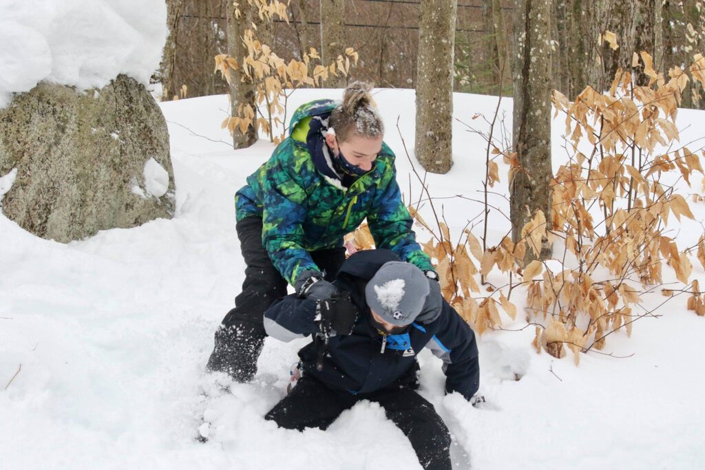
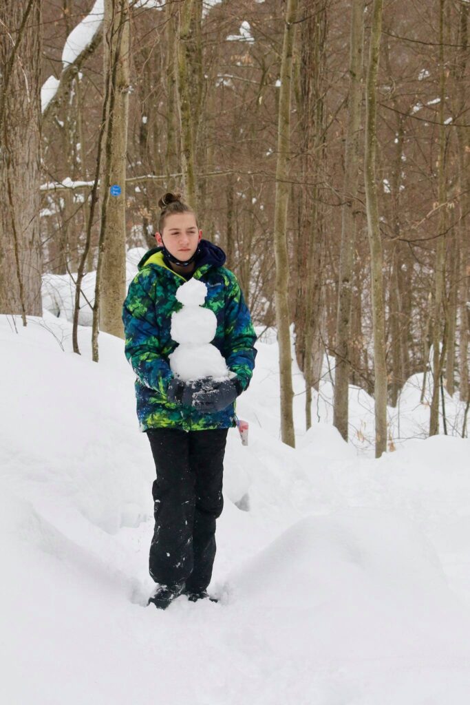
We set out in two groups, as child 2 had fought with child 3 and child 3 was refusing to hike with child 2. We eventually passed child 2 on the trail. He opted out of the summit in favor of snowman building.
Though not as long as the trail to Goodman Mountain and not as steep as Mount Arab, this was a pretty tiring hike. I passed child number 1 about two tenths of a mile from the summit. She was resting and drawing hearts and names in the snow. I did not think I would see her at the top.
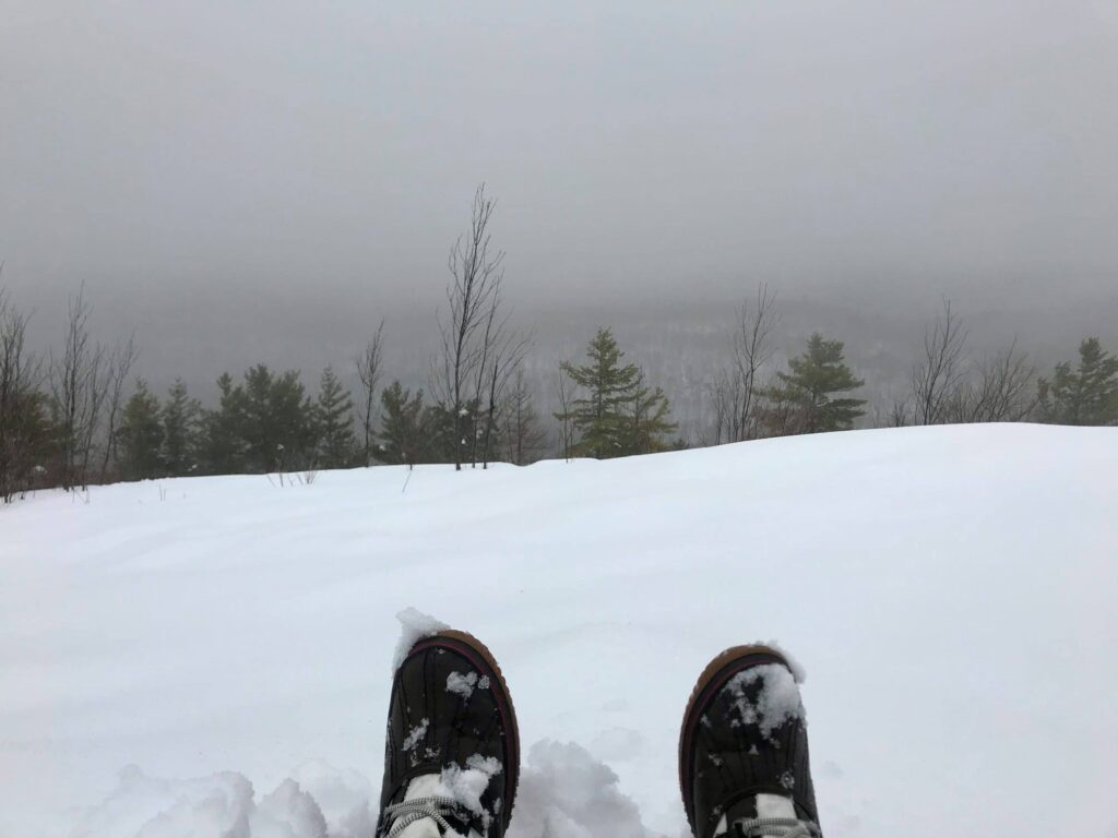
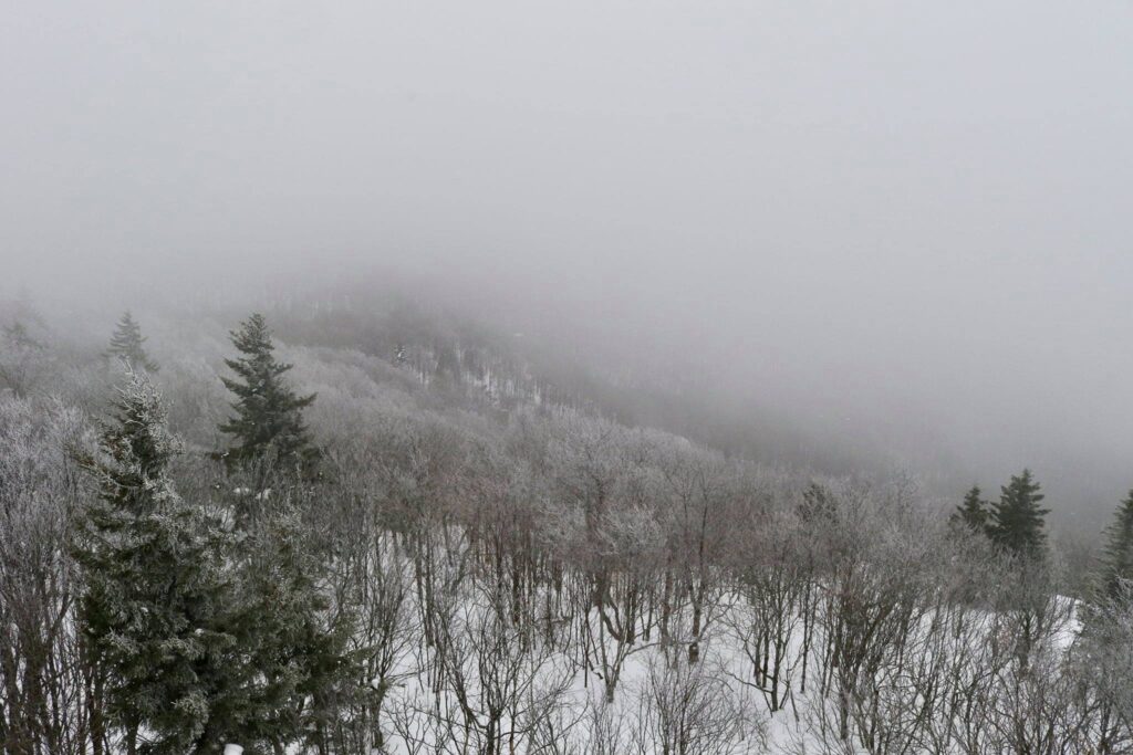
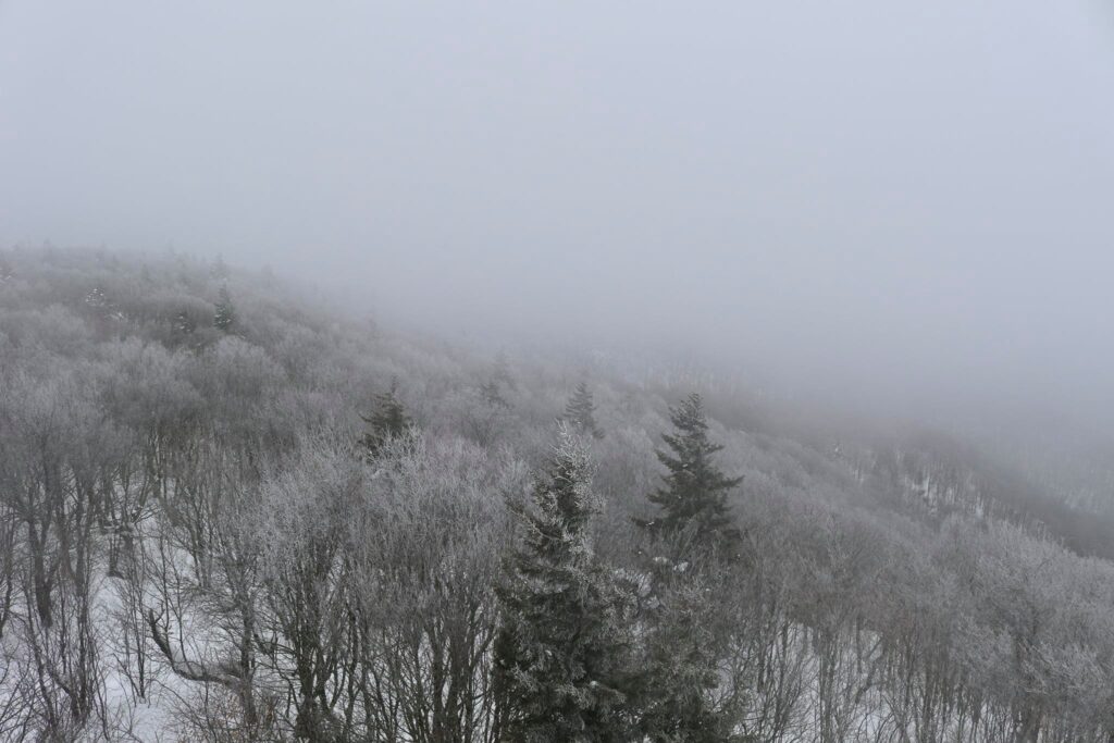
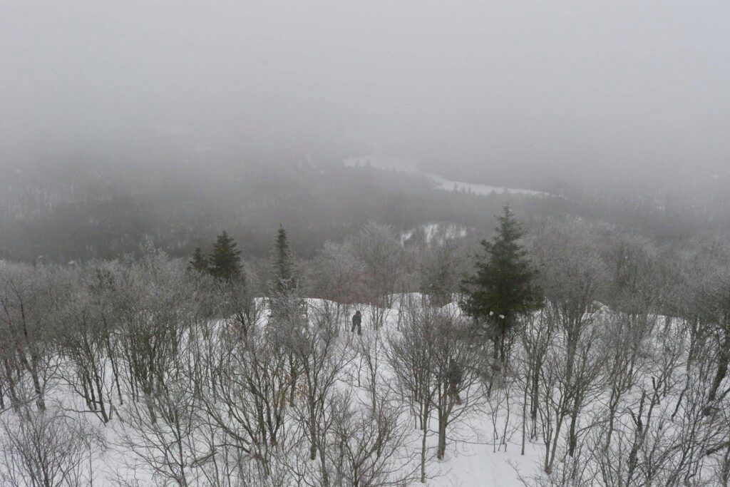
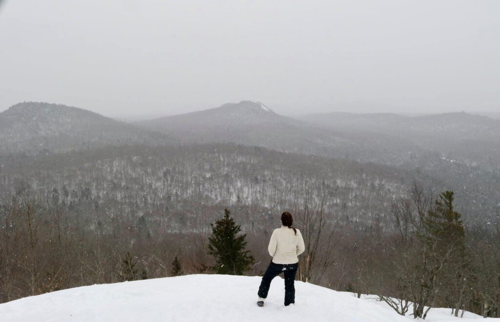
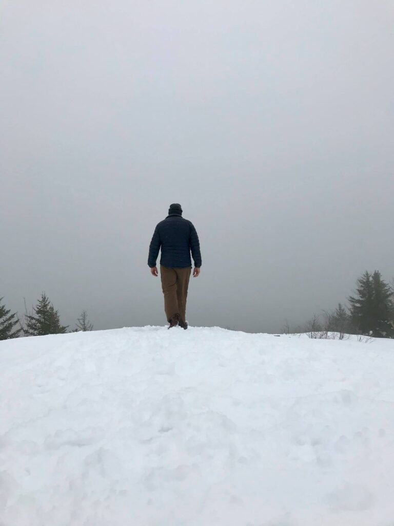
My husband was the first to the summit. The snow had turned to rain, not at all what I was expecting after two days of brutal cold, and the view was mostly obscured by the fog. He turned back to catch up with the older kids while my youngest and I sat for a minute and enjoyed our accomplishment.
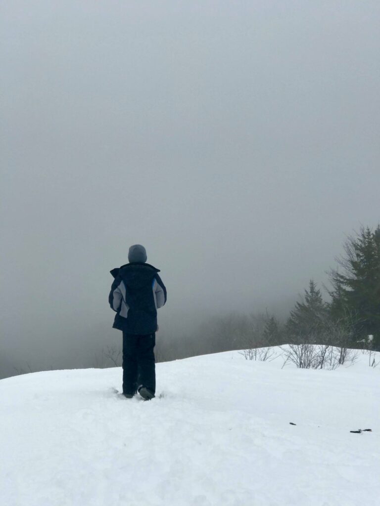
Despite the youngest’s encouragement for his siblings to join us. We sat alone at the top for a few minutes. I hope that someday he will remember this conversation and that my words will help him to overcome future struggles. At the beginning of this hike, he did not want to go. At all. He was mad at his brother, the snow was deep, but he put one foot in front of the other and started climbing. When we were tired, we rested, but we didn’t stop. He didn’t give up. The feeling of accomplishment at the top was his reward. Life is full of ups and downs. I want him to remember that and to push through difficulty until the next summit is reached.
If you would like inspiration for your next adventure, subscribe below! You will get an email for some of my future blog posts.