Located in northeastern West Virginia, Blackwater Falls State Park is a worthy destination on its own. Combined with the beauty of the surrounding area and plenty of hiking in nearby Canaan Valley State Park, Dolly Sods Wilderness, and Canaan Valley National Wildlife Refuge, this is a must-see area of the country!
Here are our favorite stops in Blackwater Falls State Park.
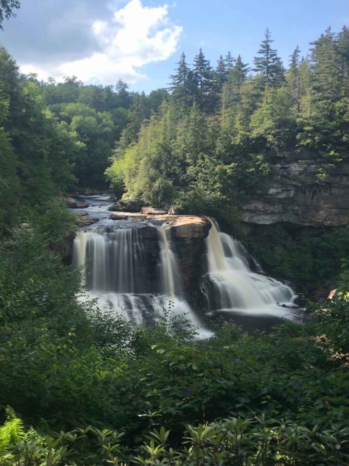
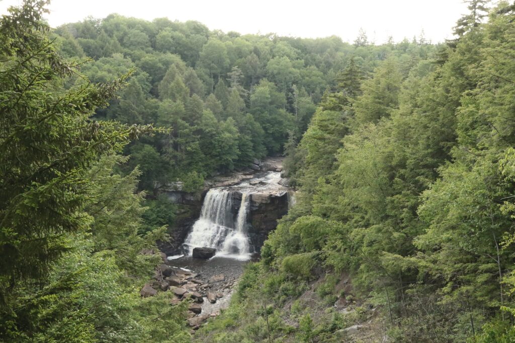
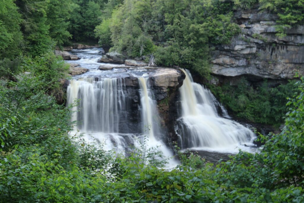
Blackwater Falls
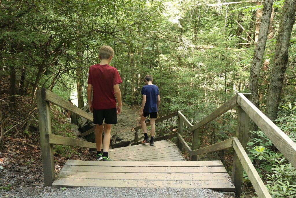
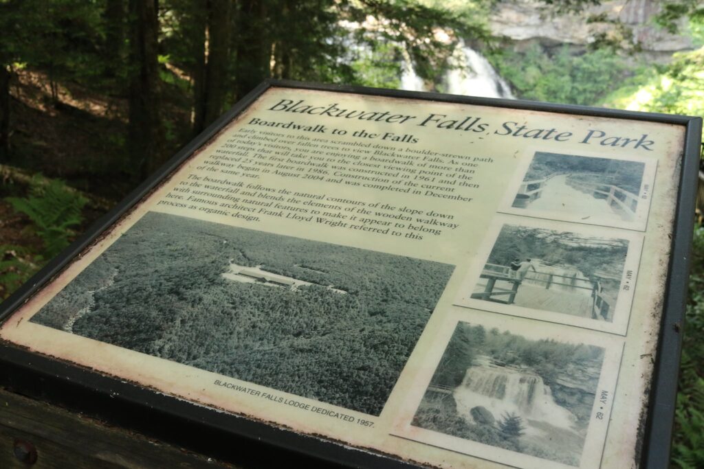
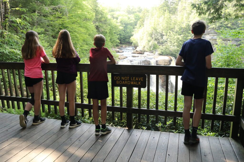
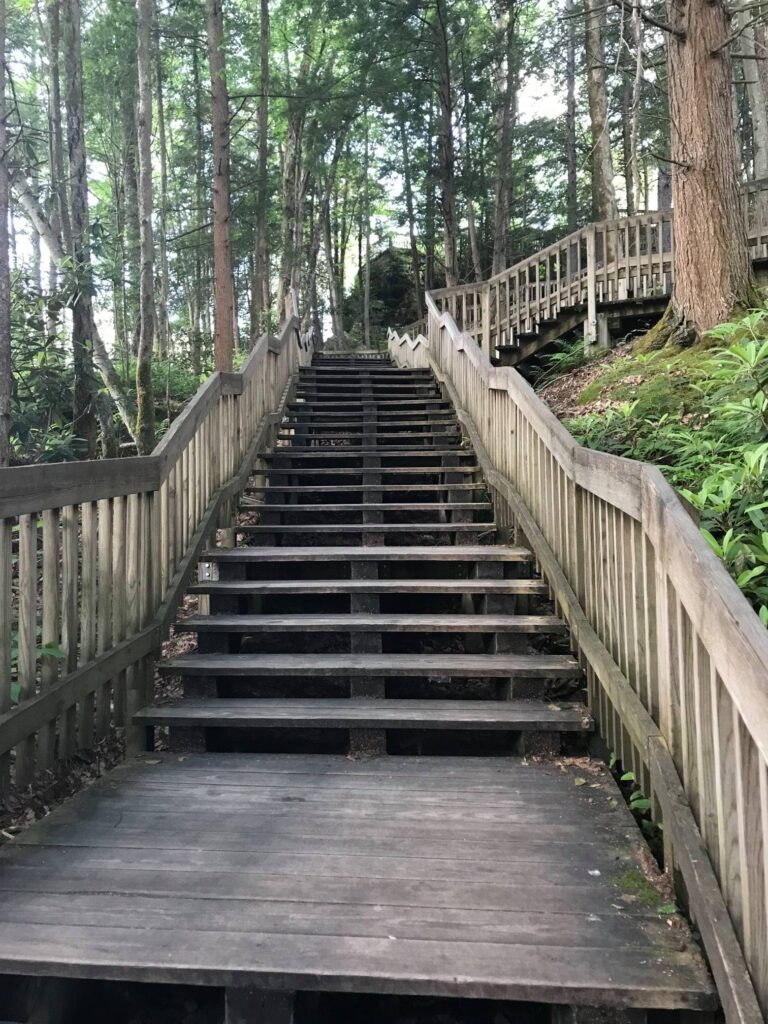
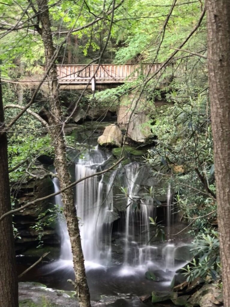
The park’s namesake waterfall did not disappoint. It was easy to get to and suitable for all ages. It did not require any hiking, but there were boardwalks with a lot of stairs to get to the best views. The park map states that the boardwalk is .25 miles long. The parking area for the falls, as well as a gift shop and concessions, can be found here.
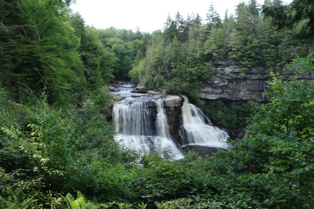
Blackwater Falls is the tallest waterfall in West Virginia at a height of 57 feet. The Blackwater River is named for its chocolate brown color which comes from the tannins released from Hemlock and other trees in the area. I read that there is a lot of iron oxide in the surrounding shale which also contributes to the river’s color. Despite the brown hue of the river, the falls themselves were very white.
Flowing over 30 miles from where it originates in the Canaan Valley and dropping 1500 feet over the 8-mile distance of the Blackwater Canyon, the Blackwater River has carved a beautiful story into the hundreds of million-year-old Allegheny Mountains. After leaving the park it flows into the Cheat River, which is known for its tubing and whitewater trips, and then merges into the Monongahela before becoming the Ohio and eventually the Mississippi.
Elakala Falls
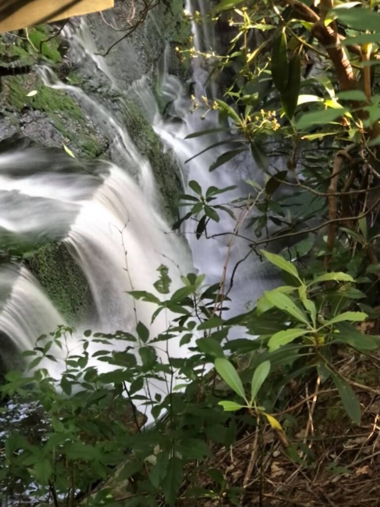
Behind the Blackwater Resort within the park is a short trail to Elakala Falls. Elakala Falls is on Shays Run, shortly before it enters the Blackwater River. Though there are a series of falls on Shays Run, we only followed the path to the first, most accessible one. At 35 feet, it is considered the second most popular fall in the park.
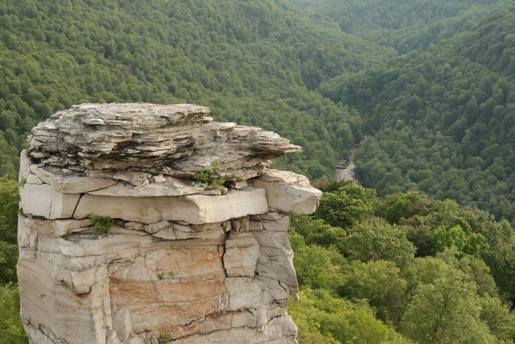
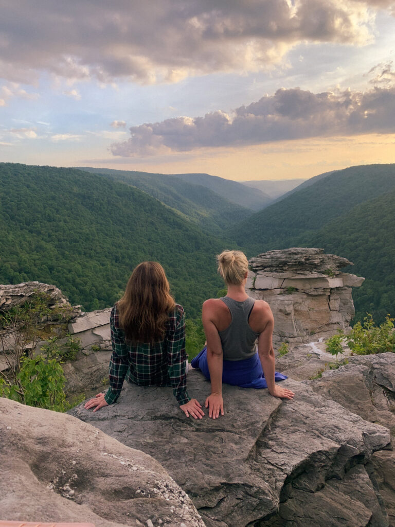
Lindy Point Overlook
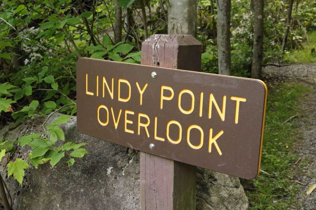
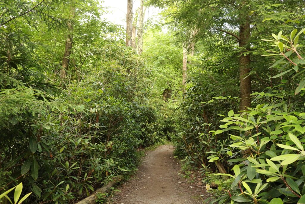
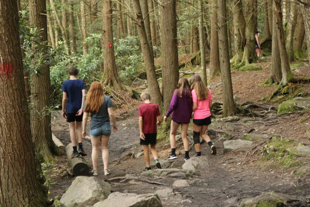
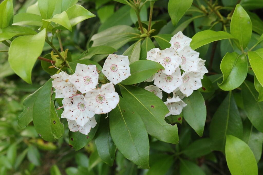
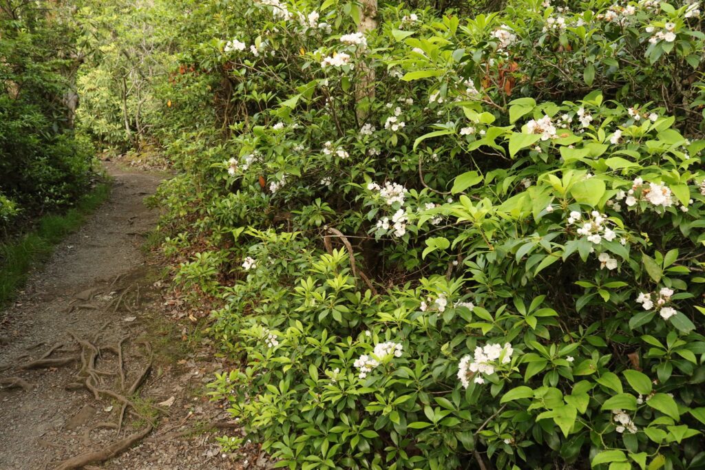
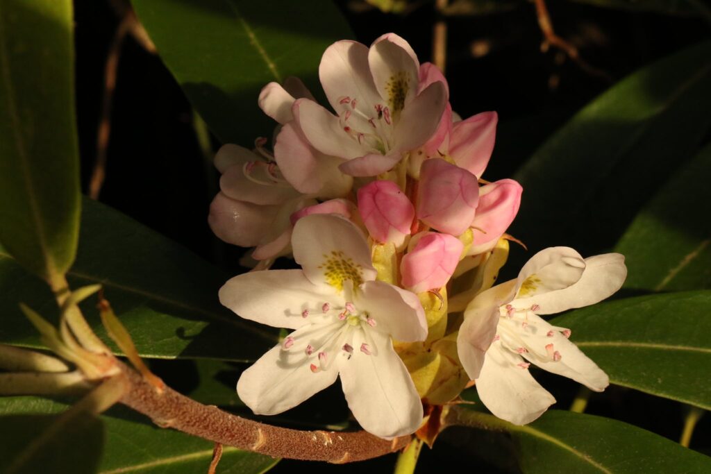
For our final stop of the day, we drove to the western end of the southern side of the park. Located here is the trailhead for Lindy Point Overlook. This was another short trail with a big payout. For just under half a mile we walked a path through thick mountain laurel and rhododendrons, some of them in bloom! Most of the path was packed dirt but in some softer areas, a boardwalk had been installed.

The walk was short enough that we carried a picnic super to the overlook. We took our time at the end soaking in the views, the company, and the endless green expanse in front of us.
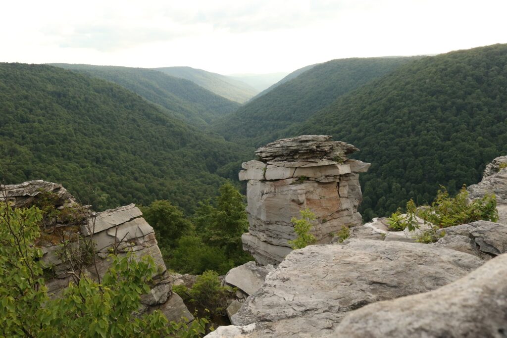
Here, at our last stop in the park, amidst an impossible amount of green, it is difficult to think that these mountains and this gorge have ever looked any different. But what I have found in my travels is that a changing environment is the norm, not the exception. In the 1800s, Tucker County West Virginia was heavily logged and mined. By the early 1900s, the ridges were clear-cut to the point of constant burning and total erosion of the topsoil. This short-sighted use of the land was put to an end in 1920 with the creation of the Monongahela National Forest and Blackriver State Park was created within this boundary in 1937. Today, the area sees an increase in interest from nature-centered tourism and for this I am grateful. What man can destroy, man can also learn to protect.
Come along on the next adventure! Don’t forget to subscribe.