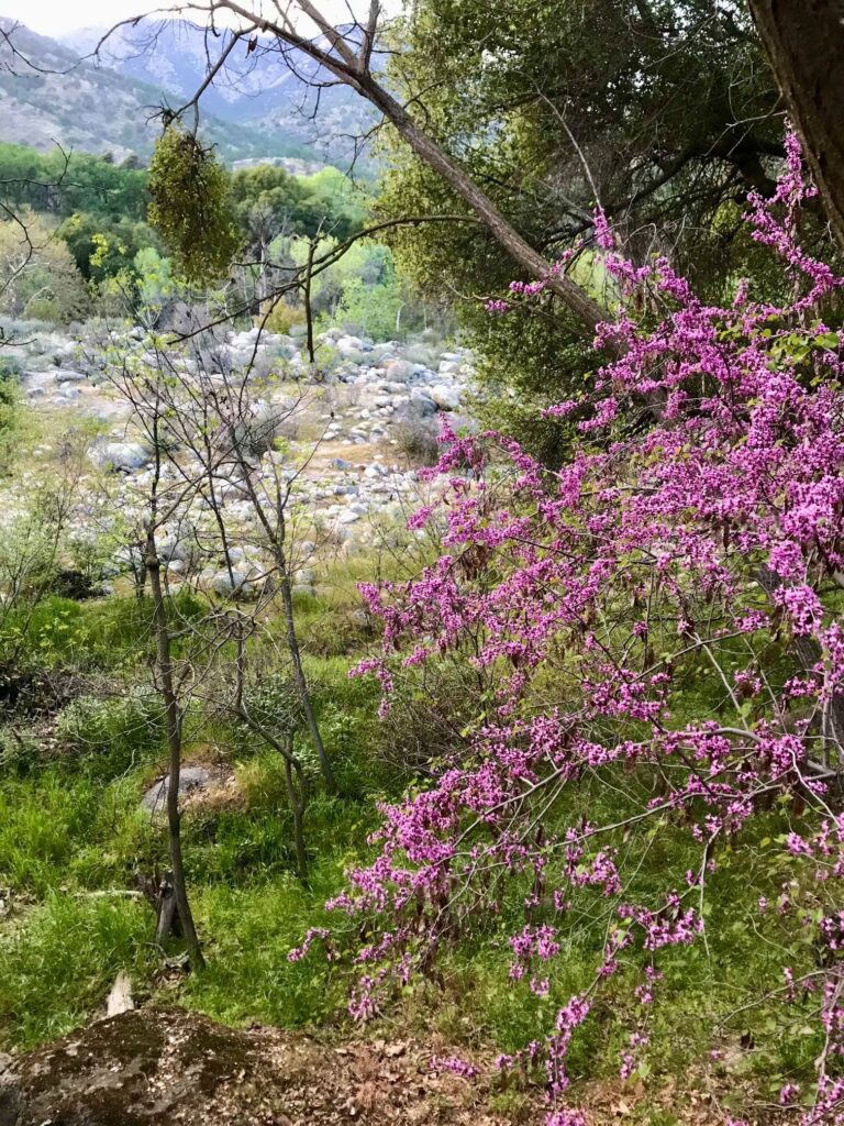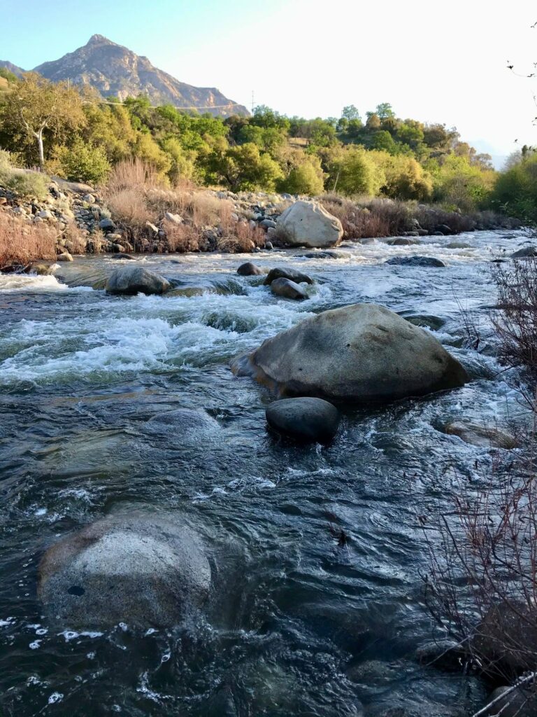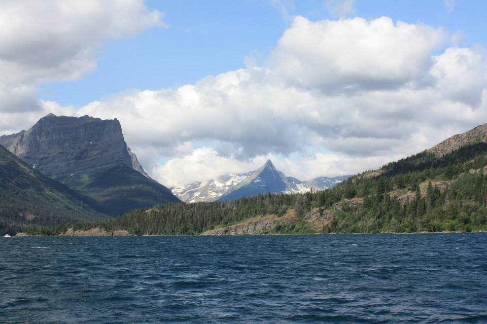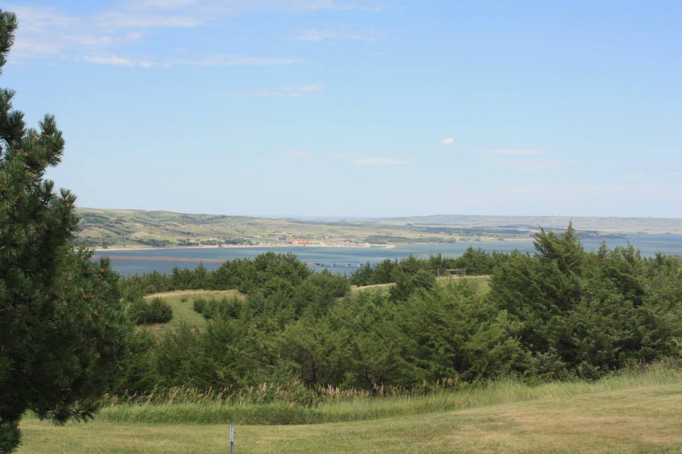
This park was gorgeous! Immaculate sandy beaches, naturally scenic dunes, a classic lighthouse, and nearly unlimited recreational activities….this park had it all. Wedged between Lake Michigan and the 5000-acre Hamlin Lake, this park is Michigan’s best. We spent a day here on a summer trip to Michigan’s western coast but this is an area we will definitely return to. Here is what we found to do!
The Beach
The main entrance to the park can be found at the end of Michigan Rt 116. From there we veered left and headed straight to beach parking. Though there were plenty of spaces before 11:00 am, I imagine it fills up on a summer weekend.
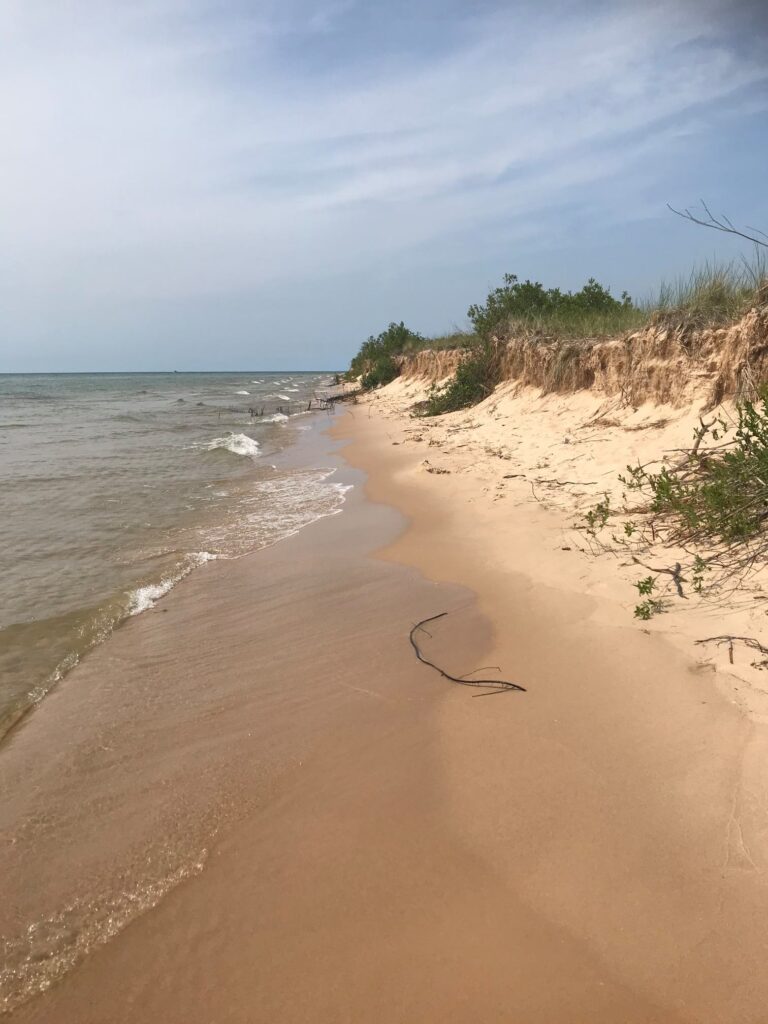
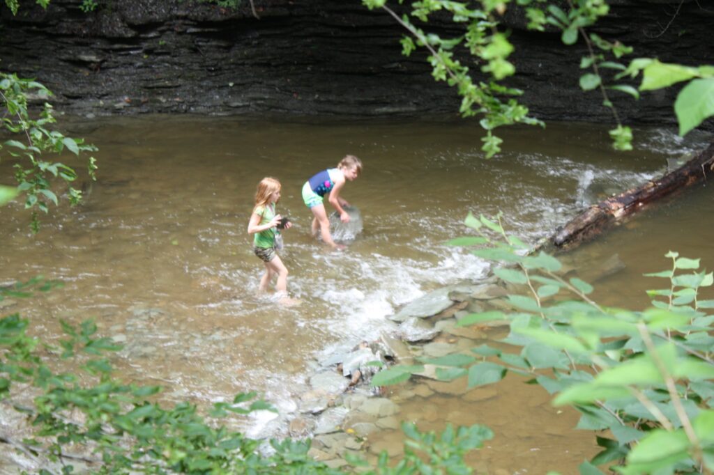
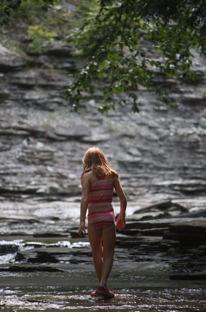
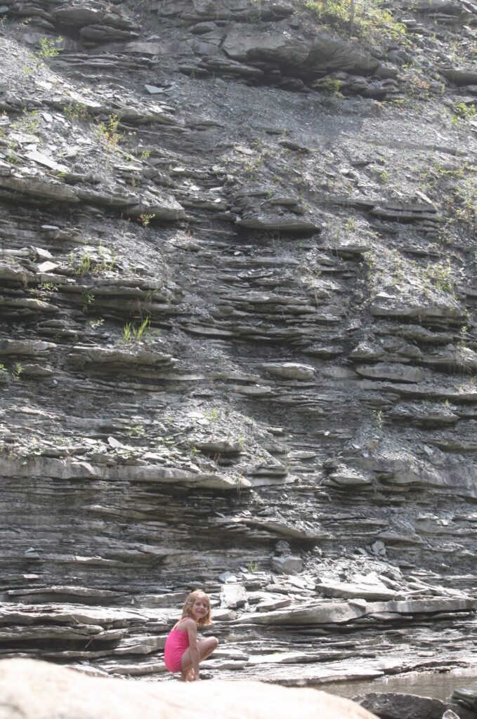
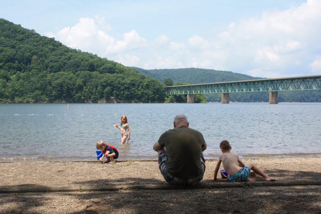
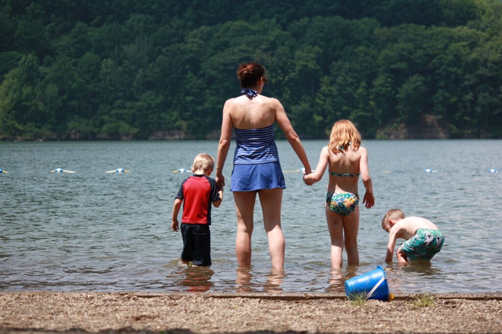
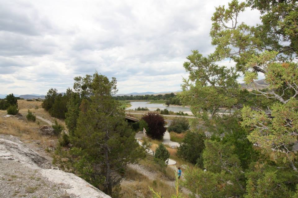
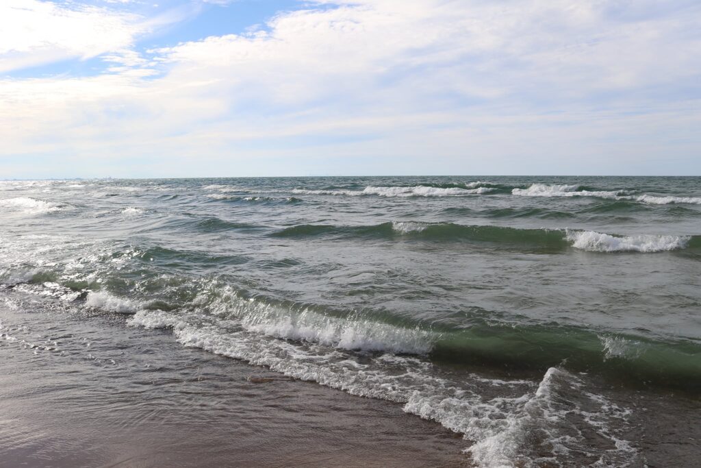
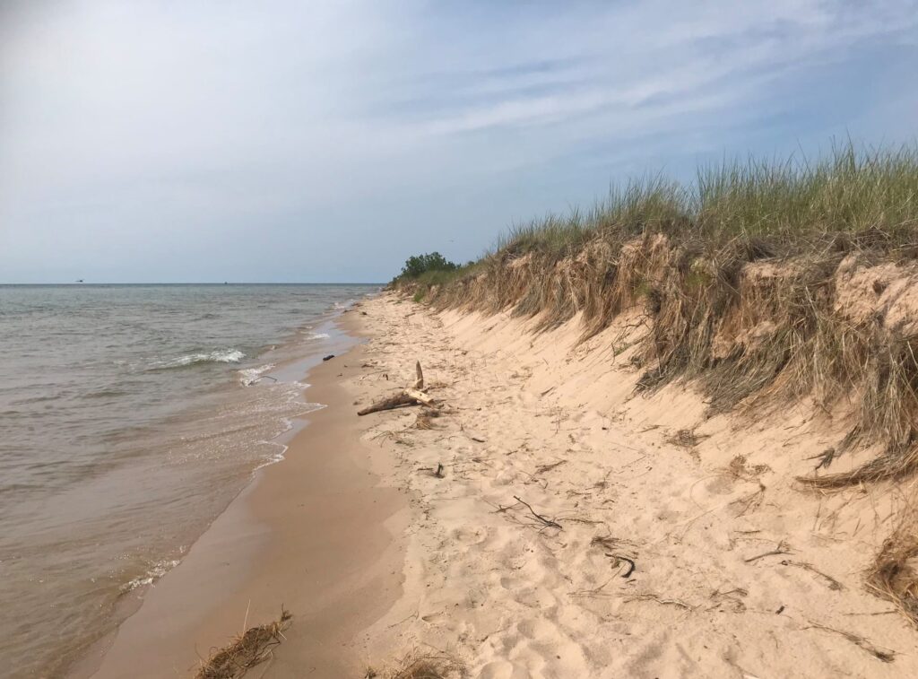
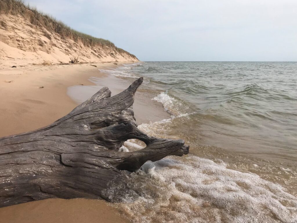
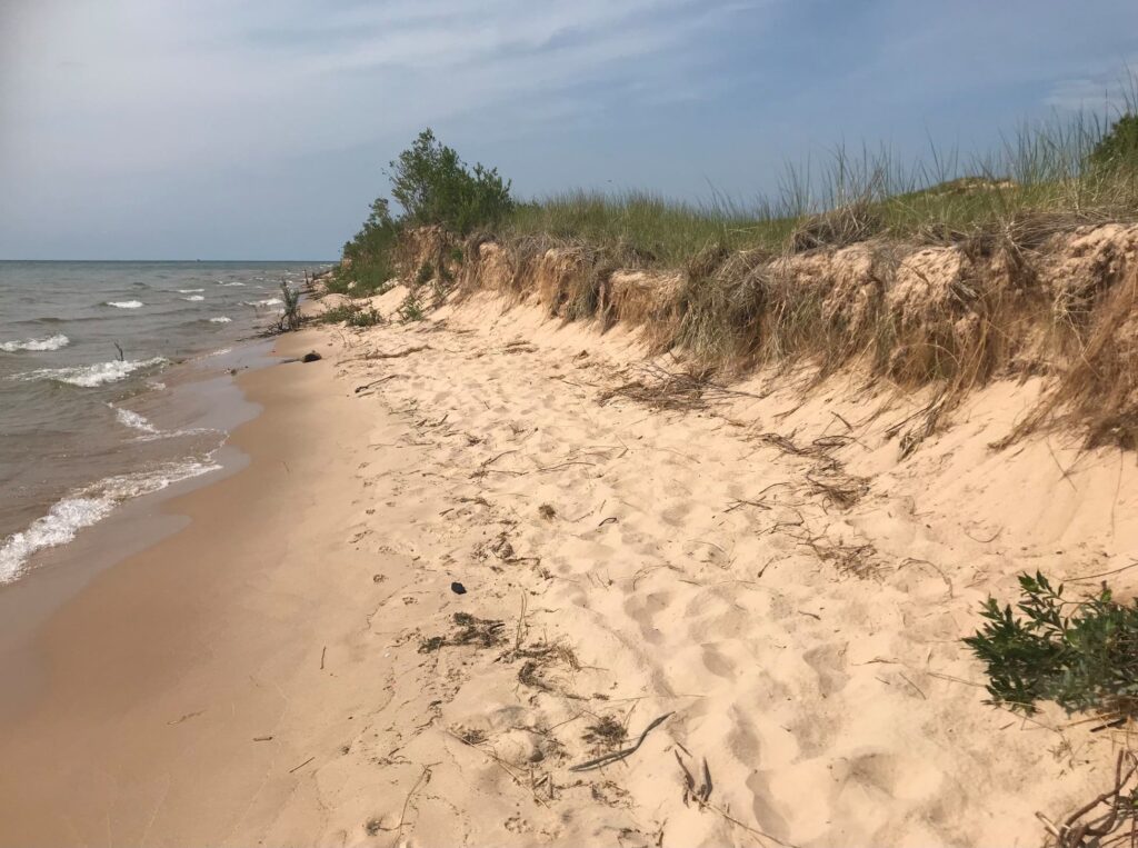
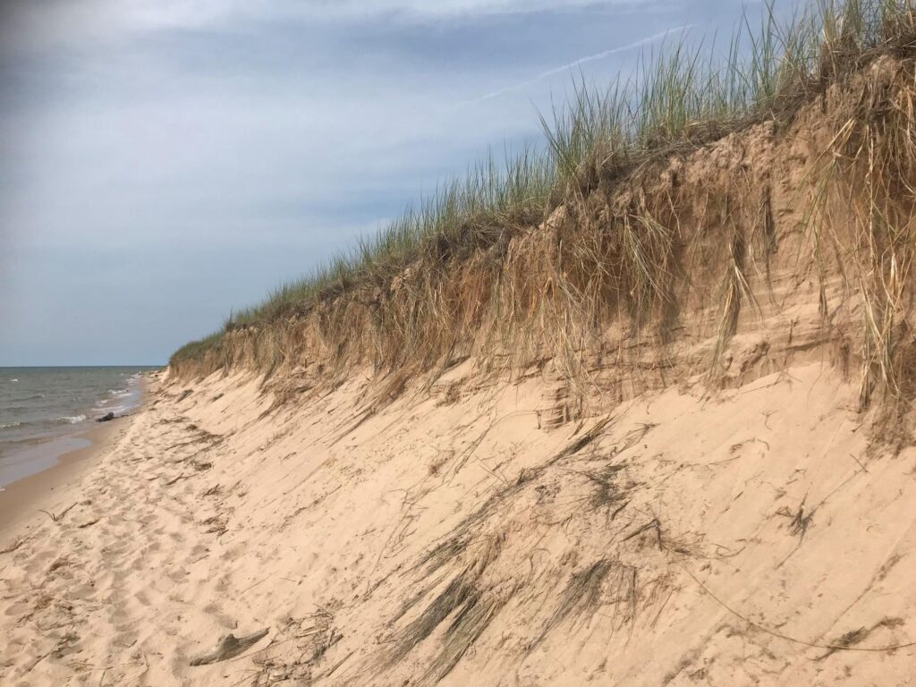
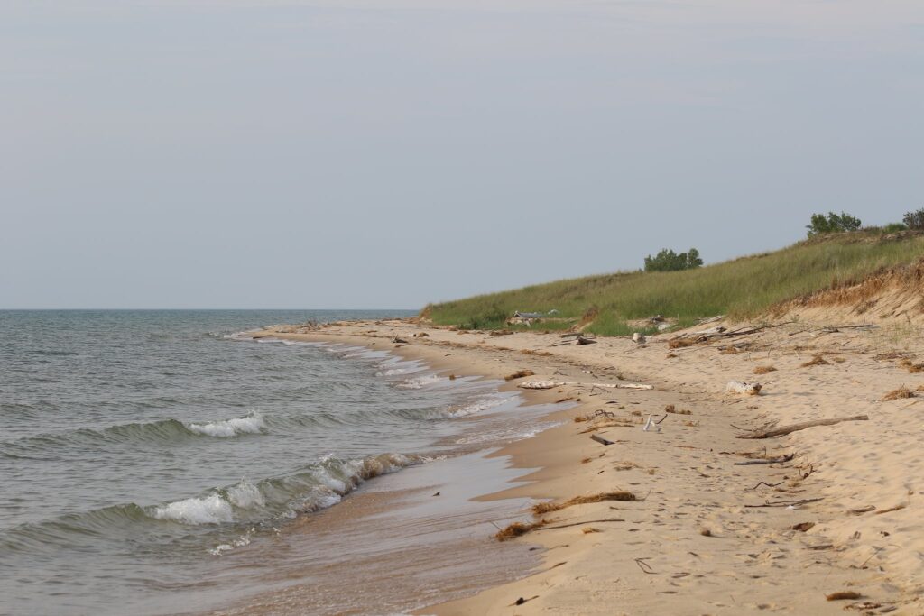
The Lake Michigan beach area had a bathhouse complete with restrooms, concessions, and interpretive exhibits. The best part of this beach though was the pristine shoreline stretching 7 miles up the coast of Lake Michigan. It was one of the most beautiful beach walks I have ever taken.
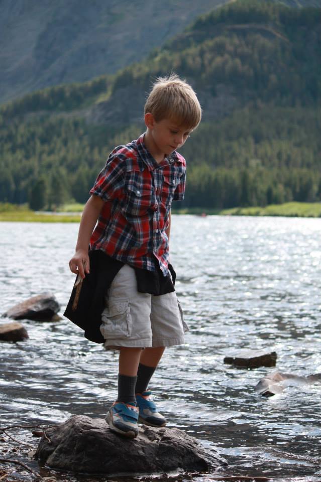
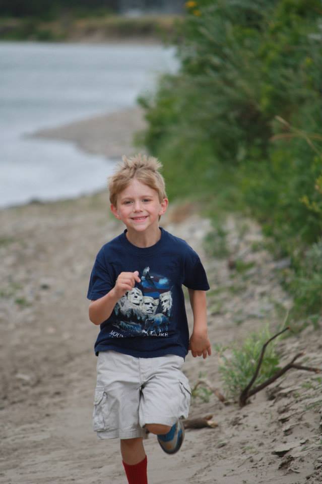
The kids spent the afternoon swimming in the lake and we all enjoyed a picnic lunch in the sand. Parking was close enough to the beach area that we could leave coolers and extra tools in the van and just carry our beach chairs to the sand.
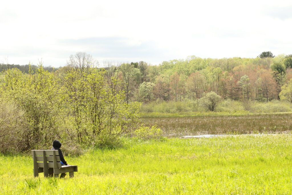
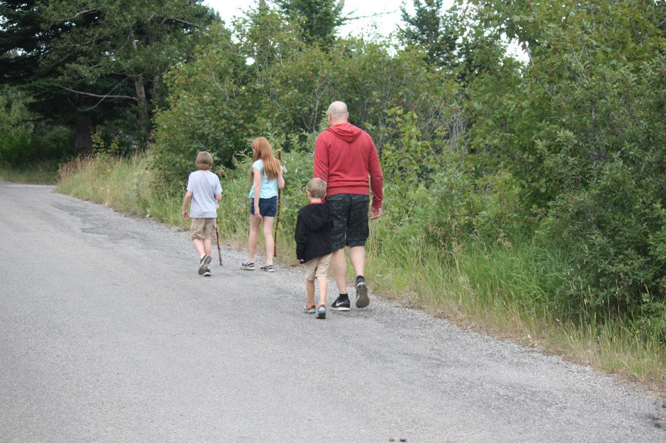
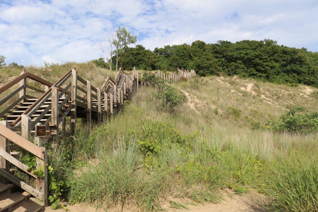
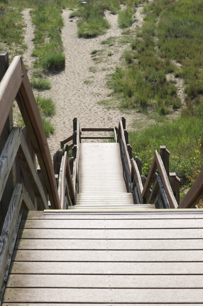
Hiking
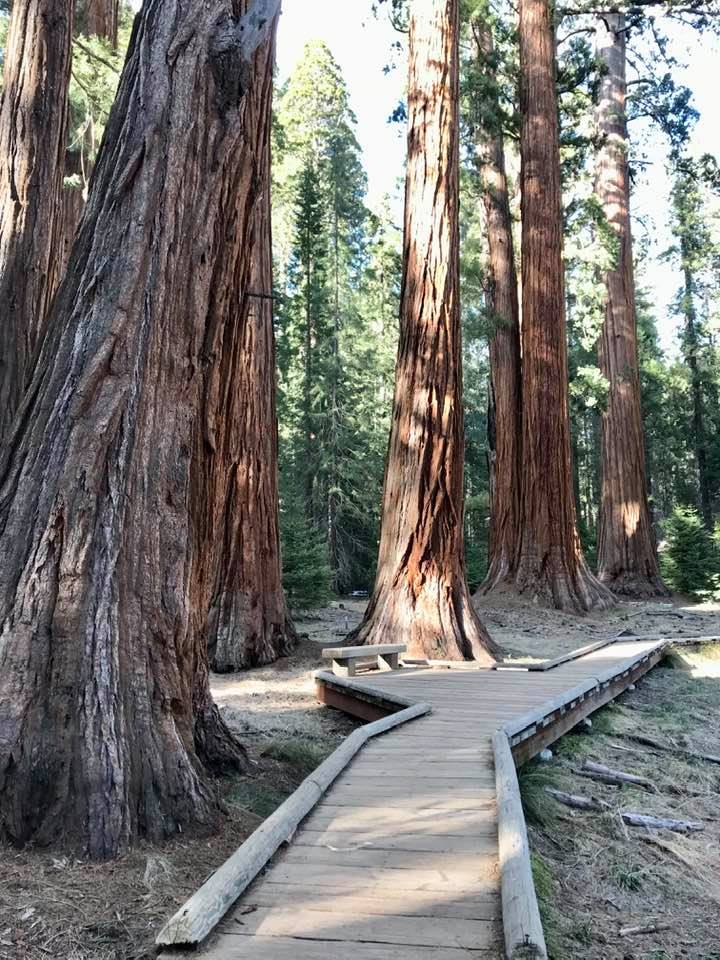
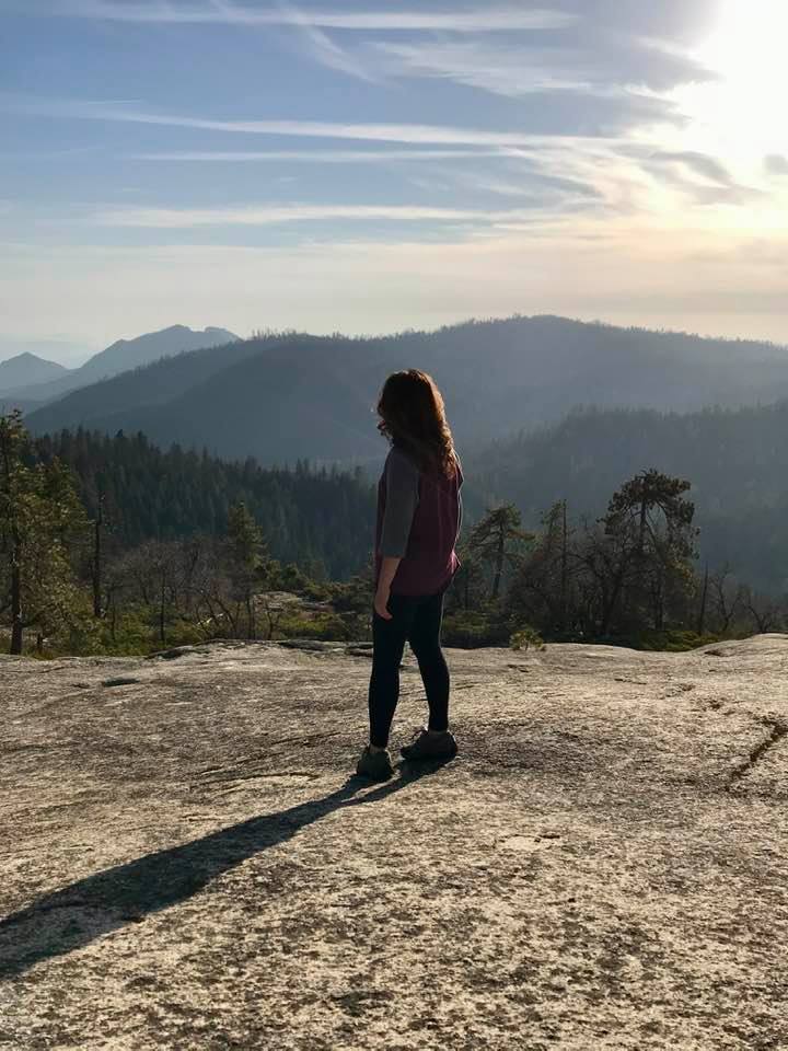
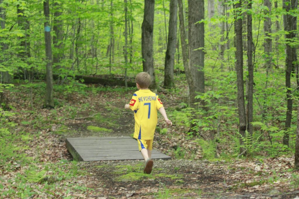
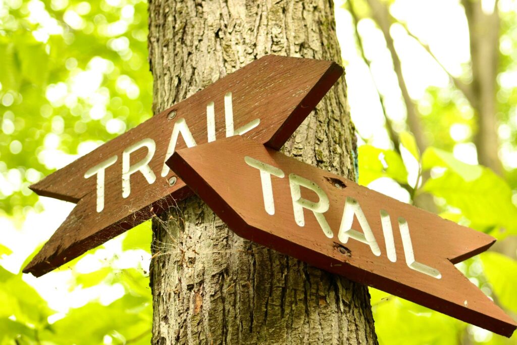
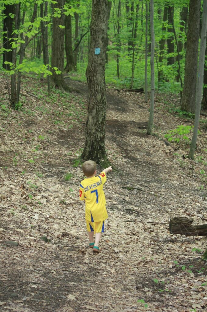
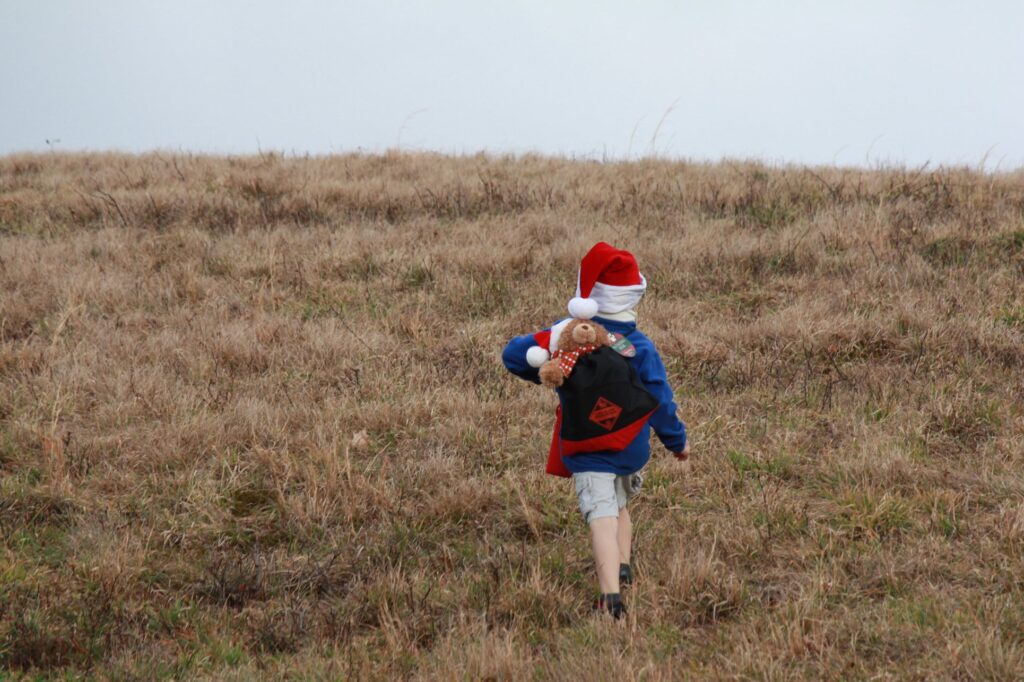
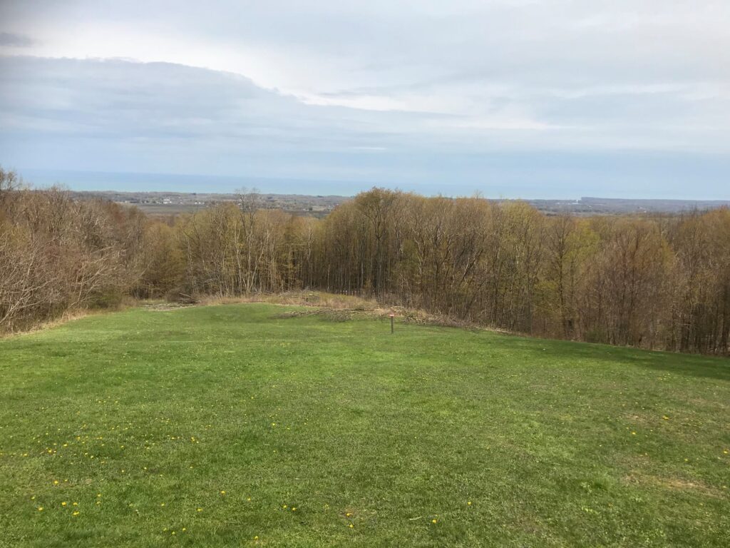
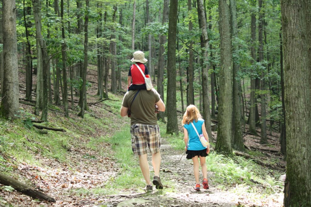
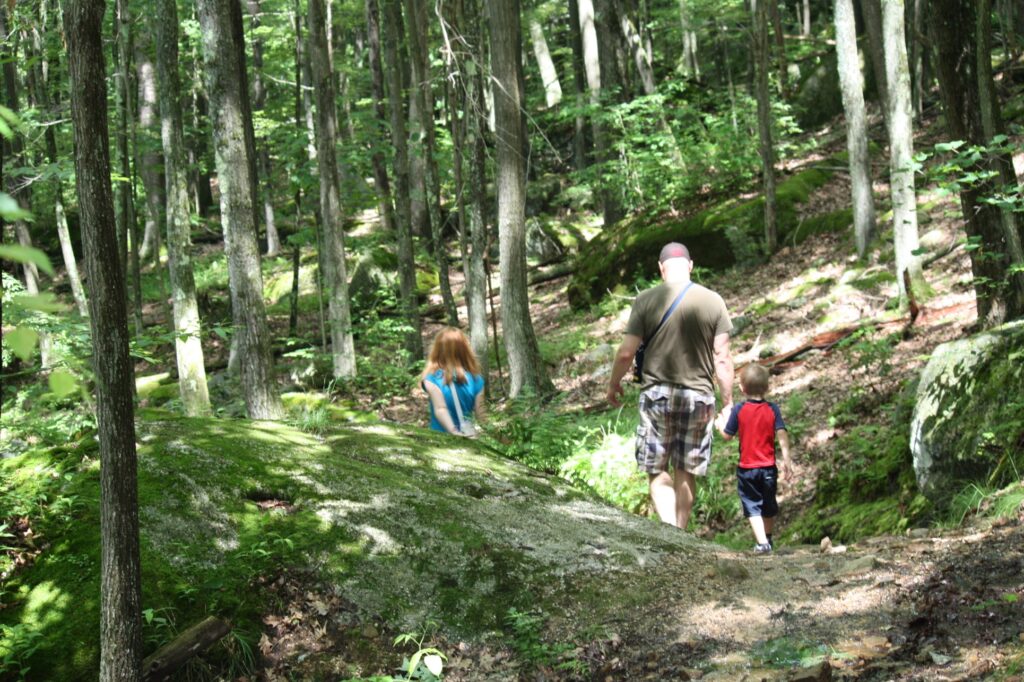
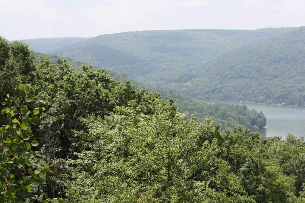
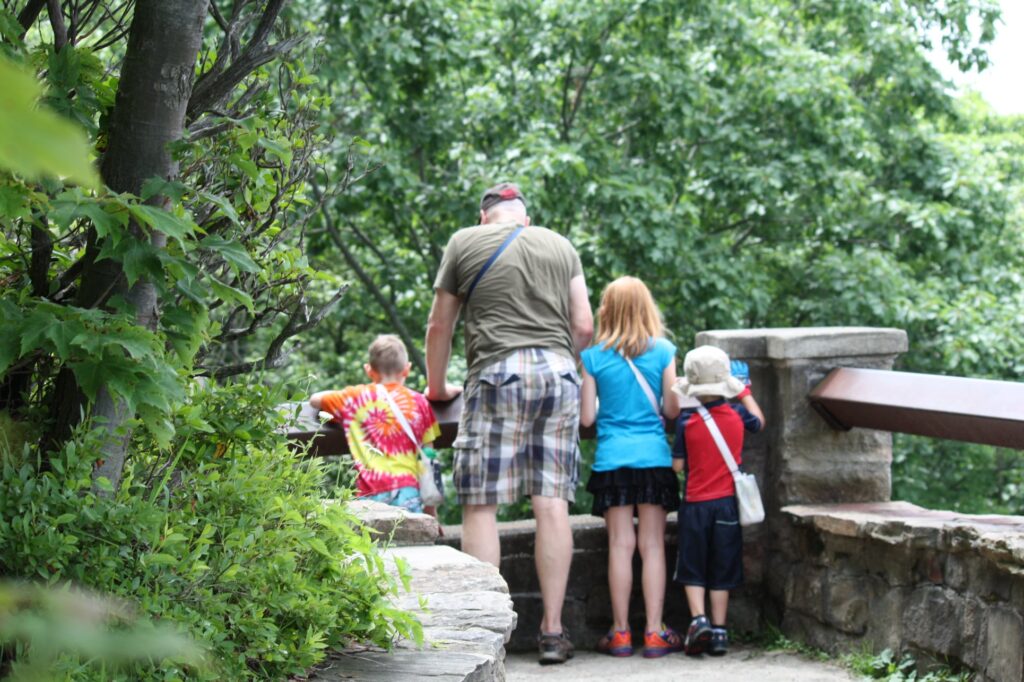
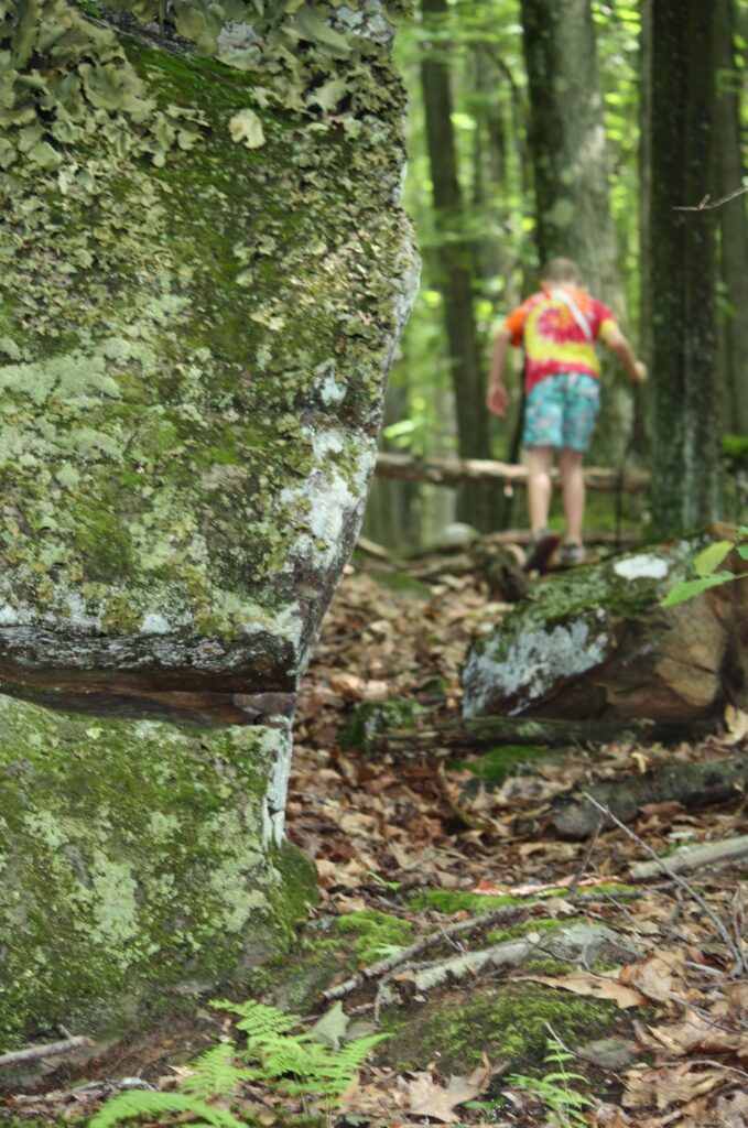
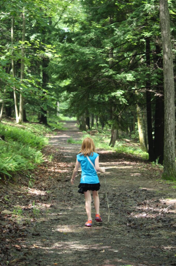
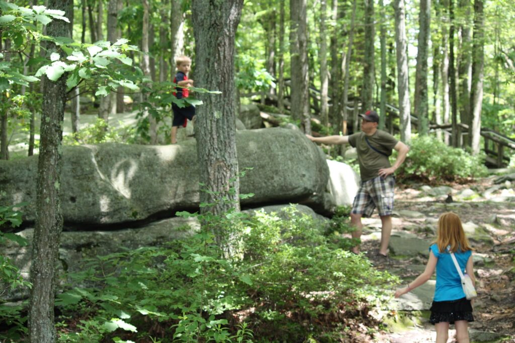
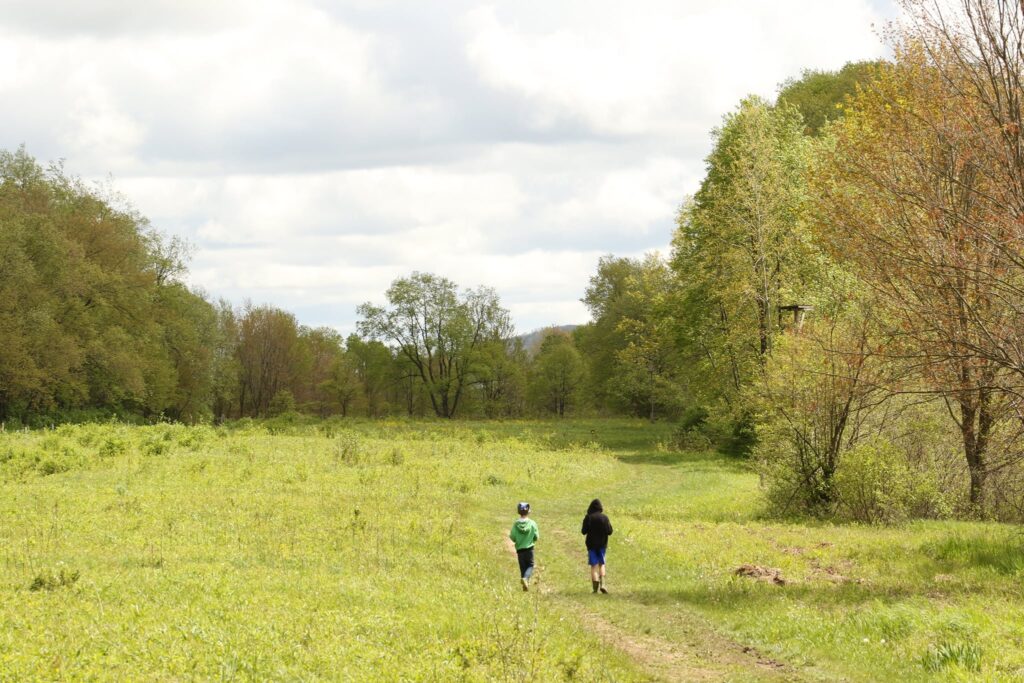
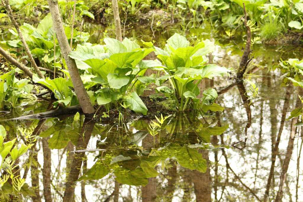
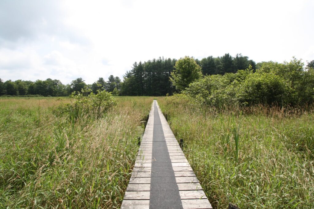
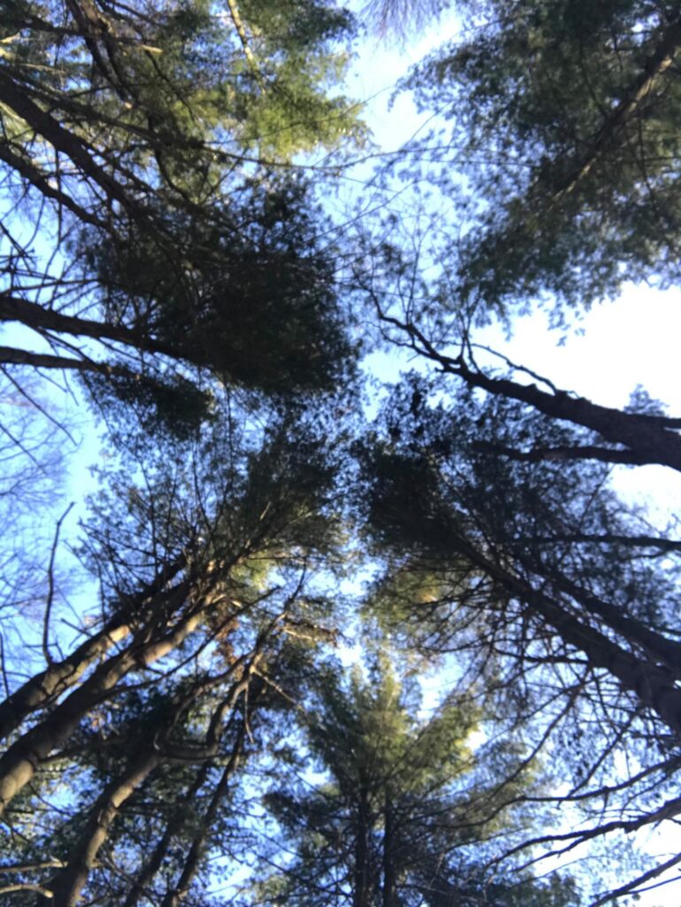
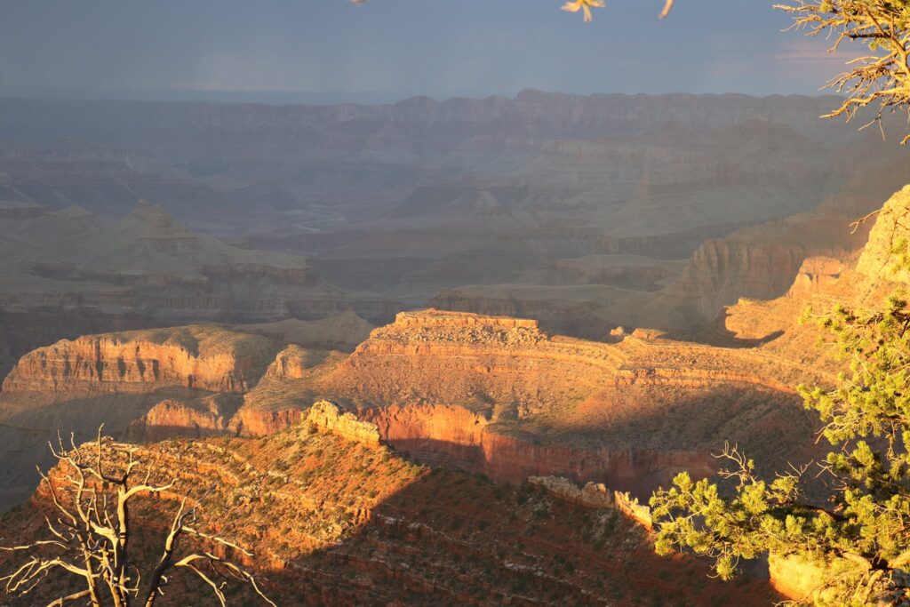
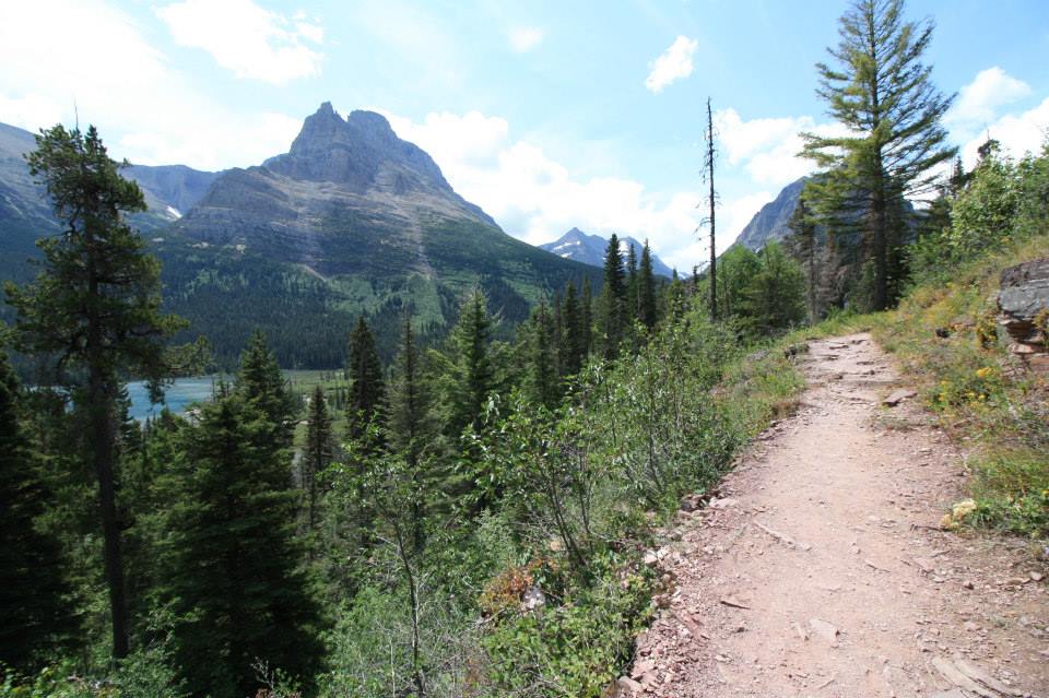
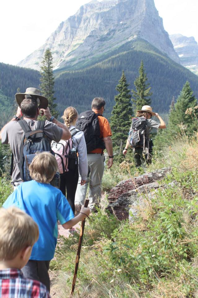
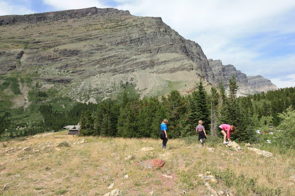
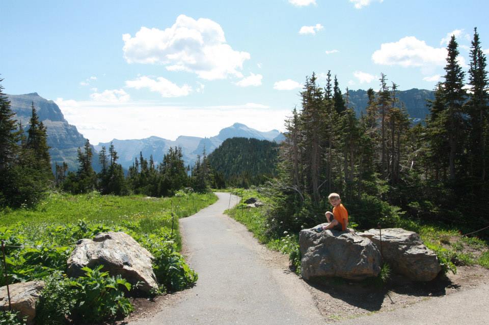
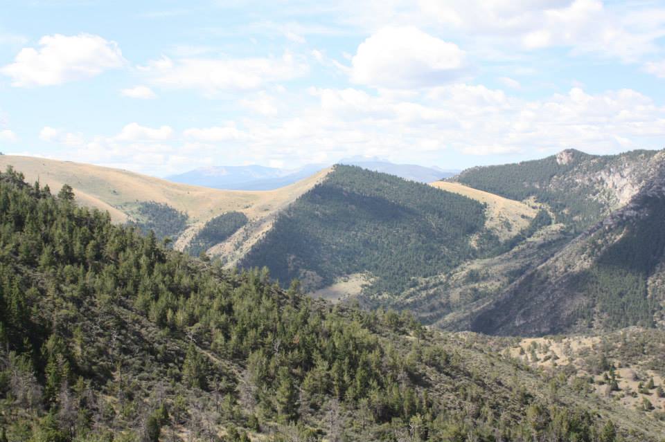
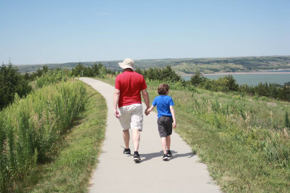
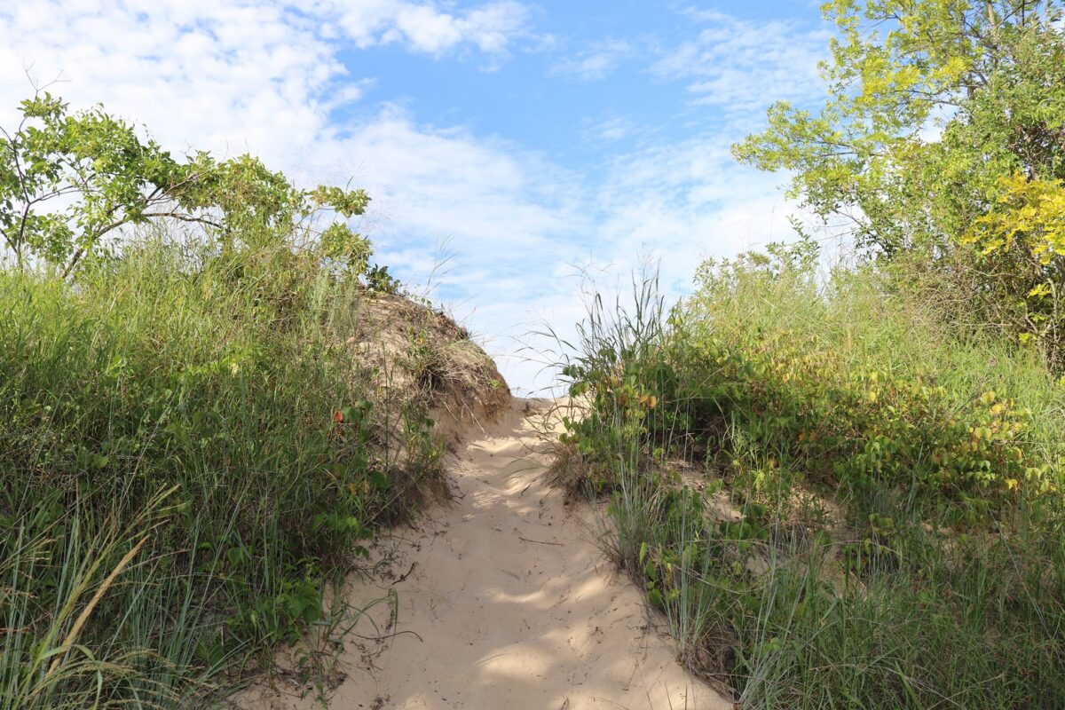
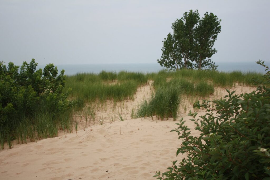
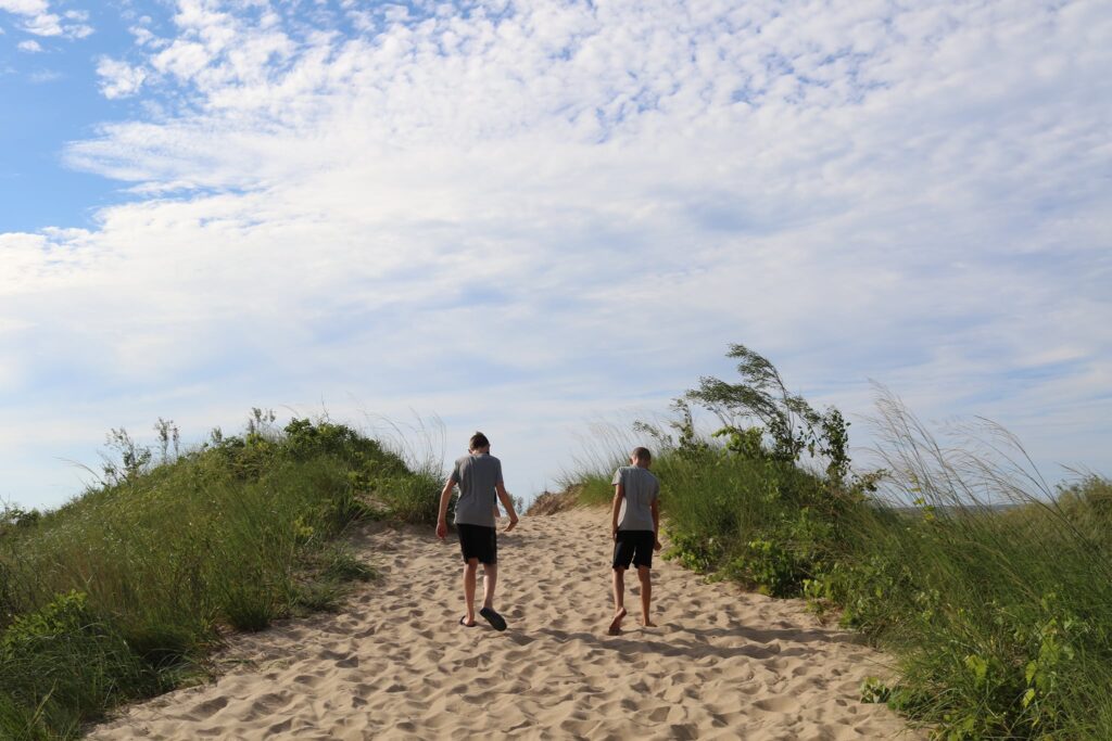
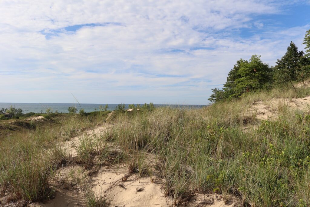
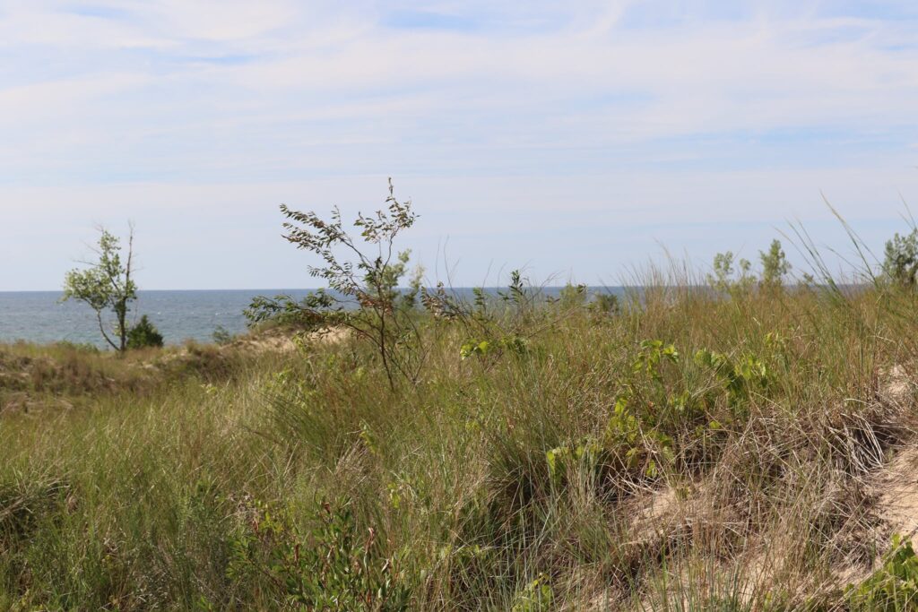
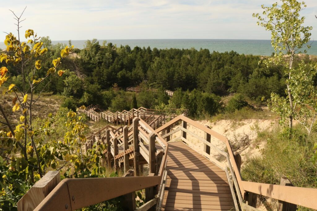
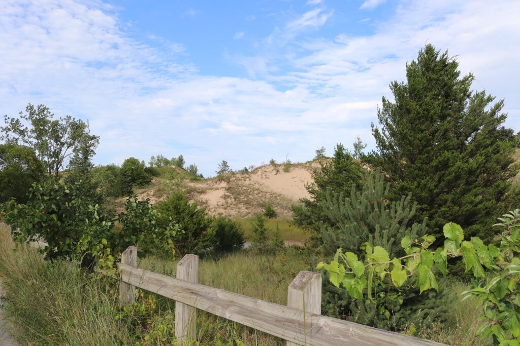
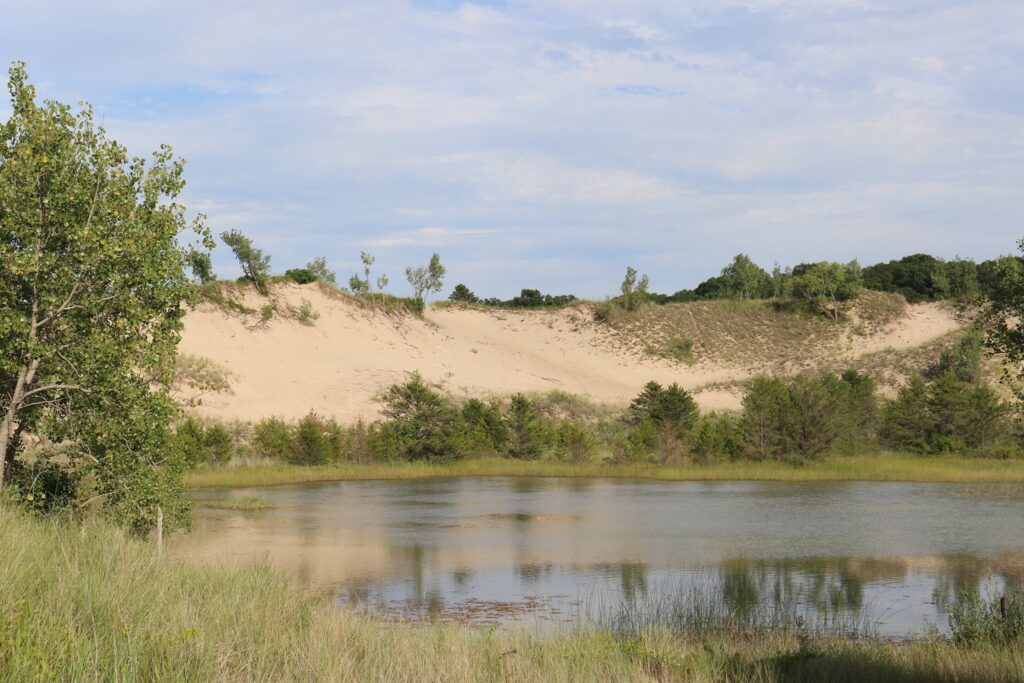
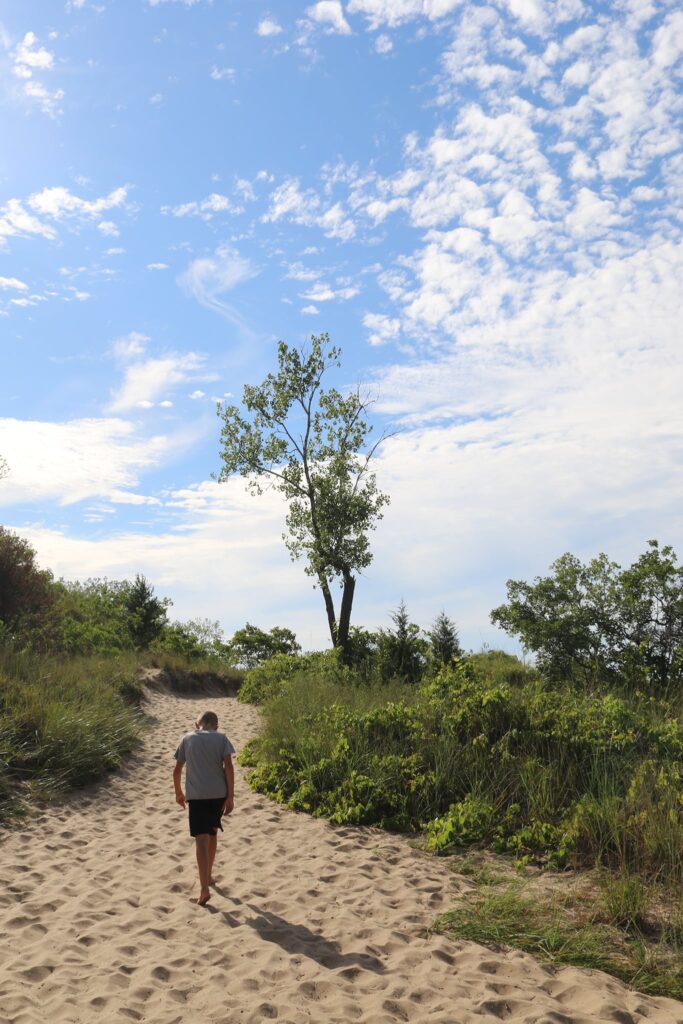
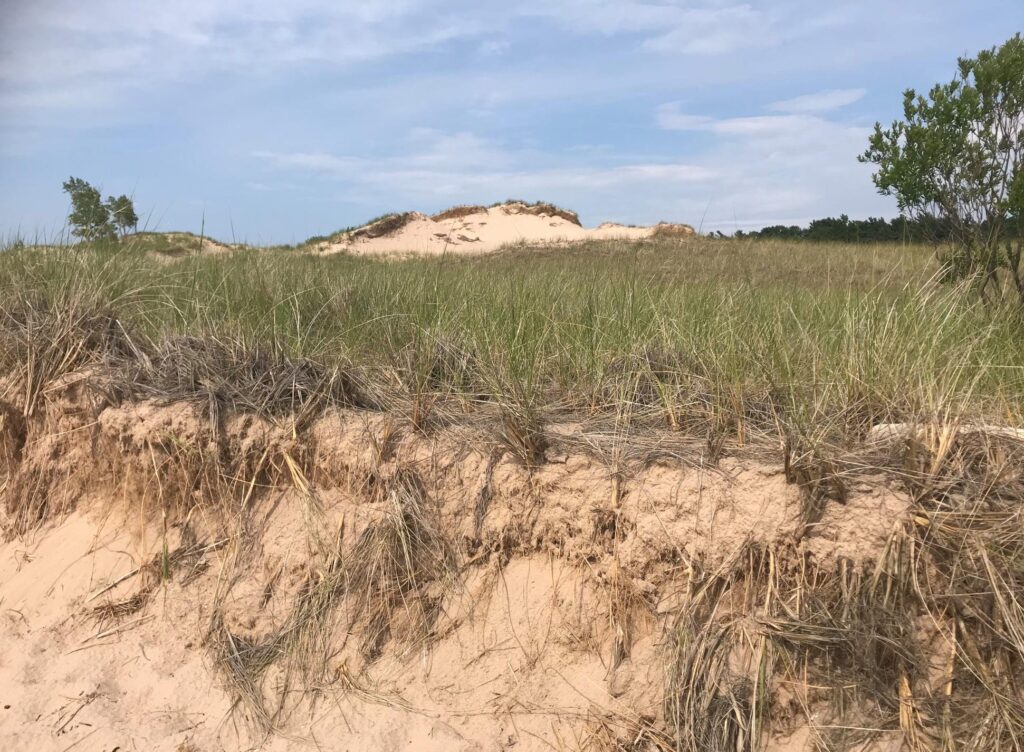
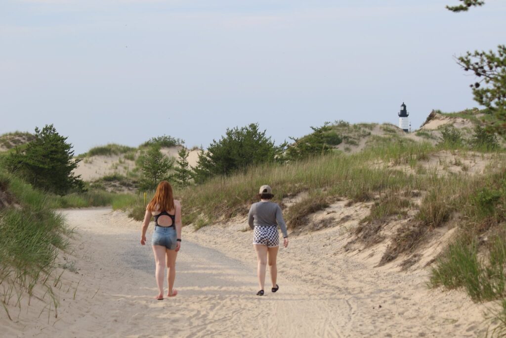
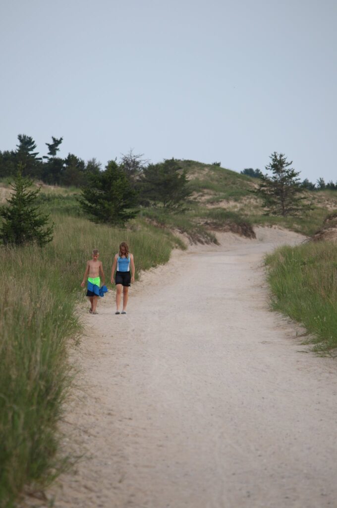
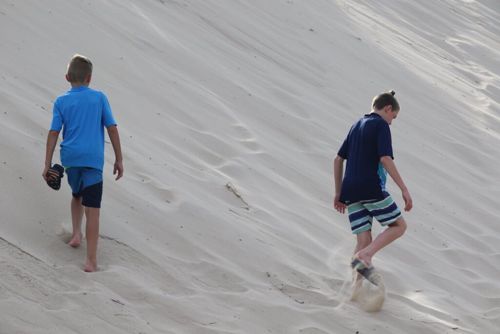
As it began to cool down in the late afternoon, we decided to stretch our legs with a hike. Ludington State Park has over 20 miles of trails through forests and wetlands, over dunes, along beaches, and across boardwalks. We wanted to see Big Sable Point Lighthouse but didn’t want grumpy hikers, so we opted for the ROAD to the lighthouse, not the TRAIL to the lighthouse.
The packed gravel and sand-covered road to the lighthouse starts at the far left end of the Pines Campground. There is also a more strenuous trail over dunes with great views of Lake Michigan that begins in the Beechwood Campground area. The road is 1.8 miles one-way, the trail is slightly longer. You can check out a map of trails here before choosing the best one for you.
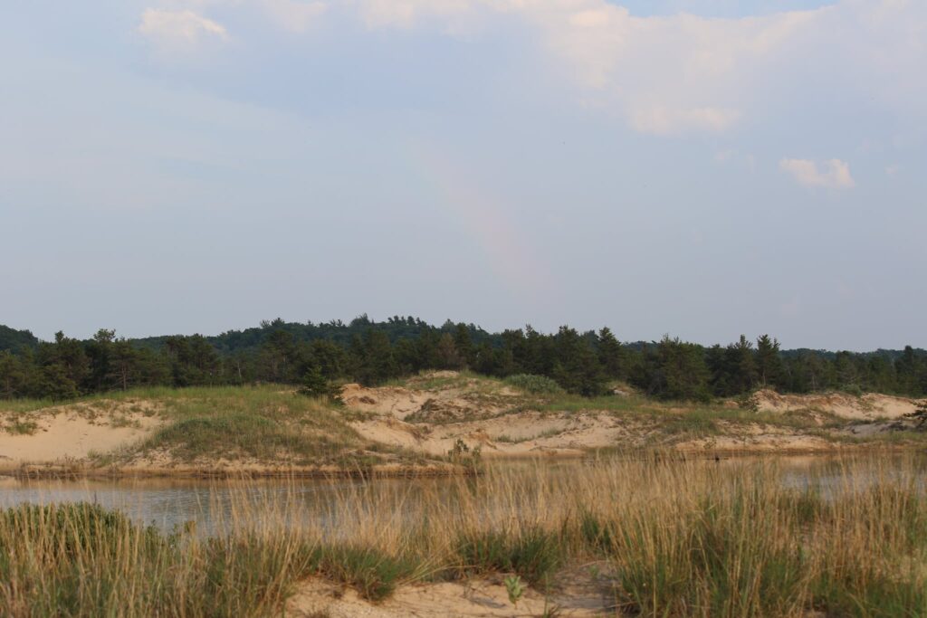
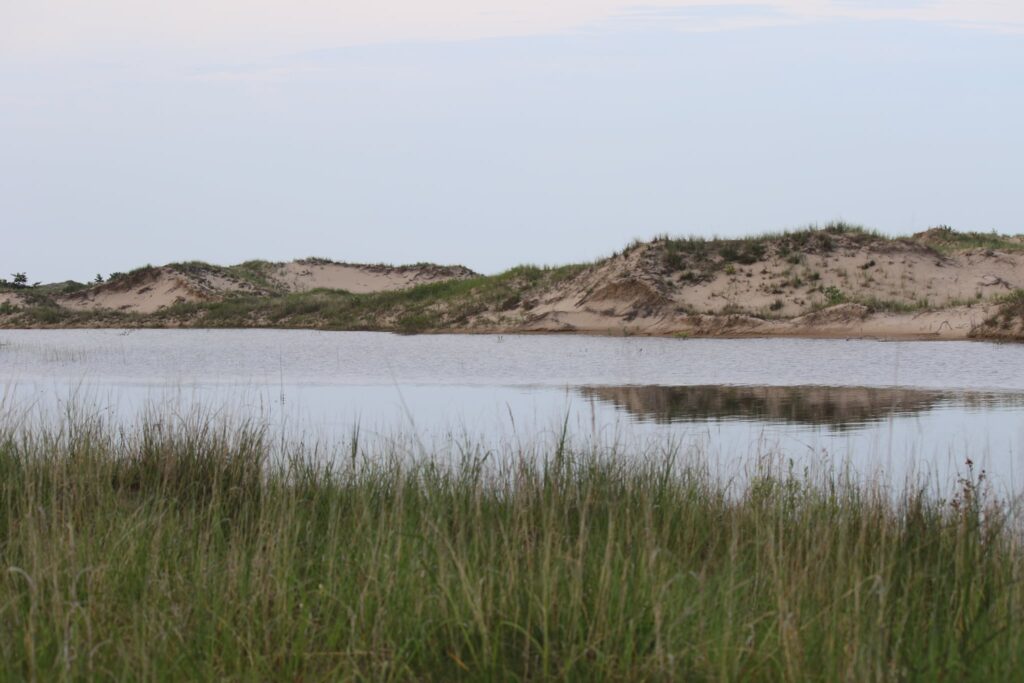
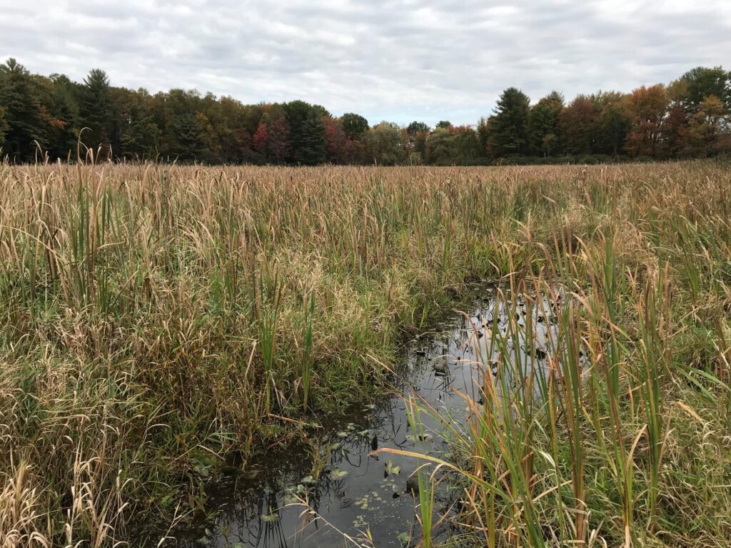
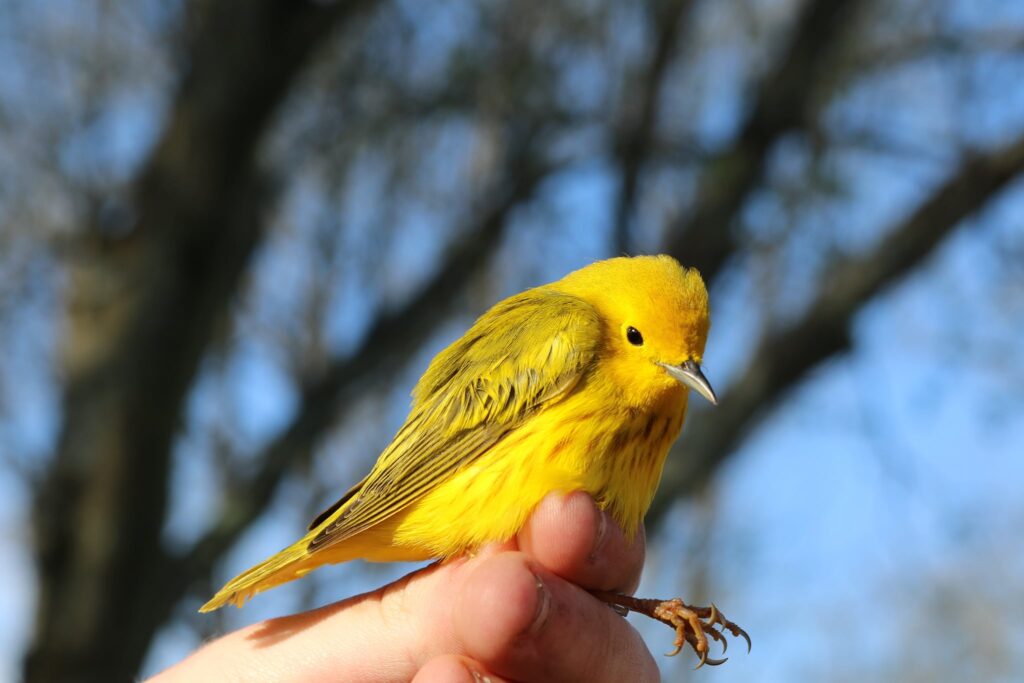
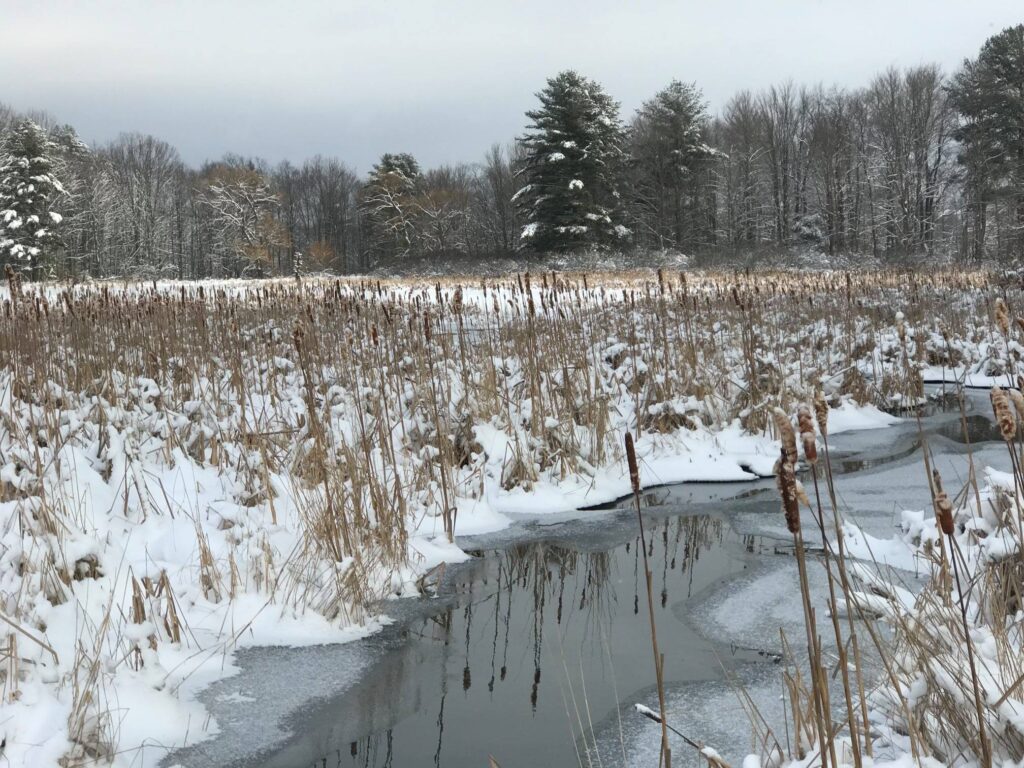
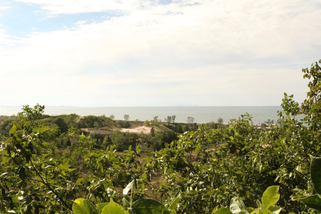
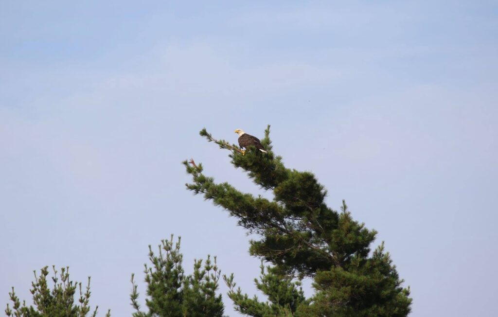
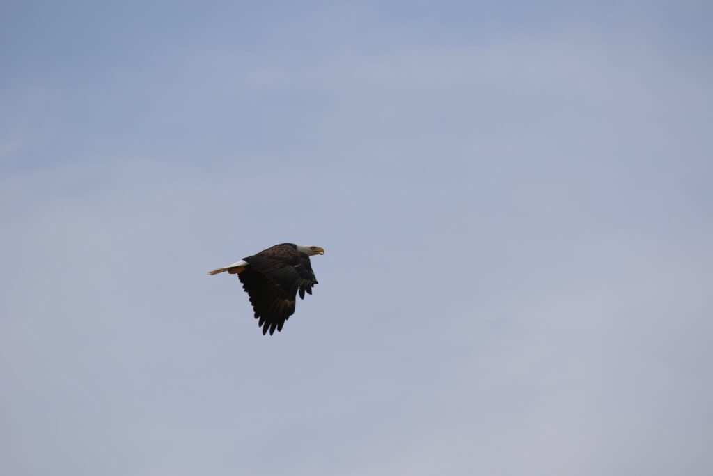
The road to the lighthouse passes several interdunal ponds. These areas were active with wildlife such as the Bald Eagle we spotted below.
It took us about 45 minutes at a leisurely pace to reach the lighthouse.
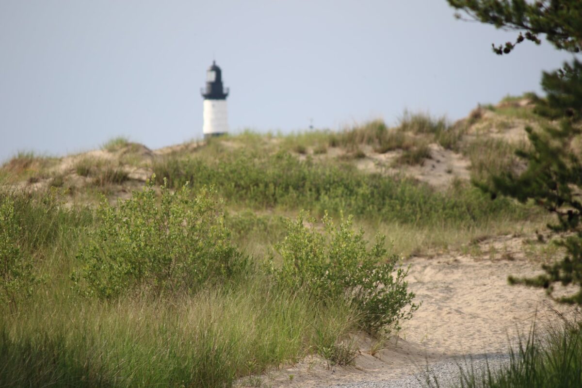
Big Sable Point Lighthouse
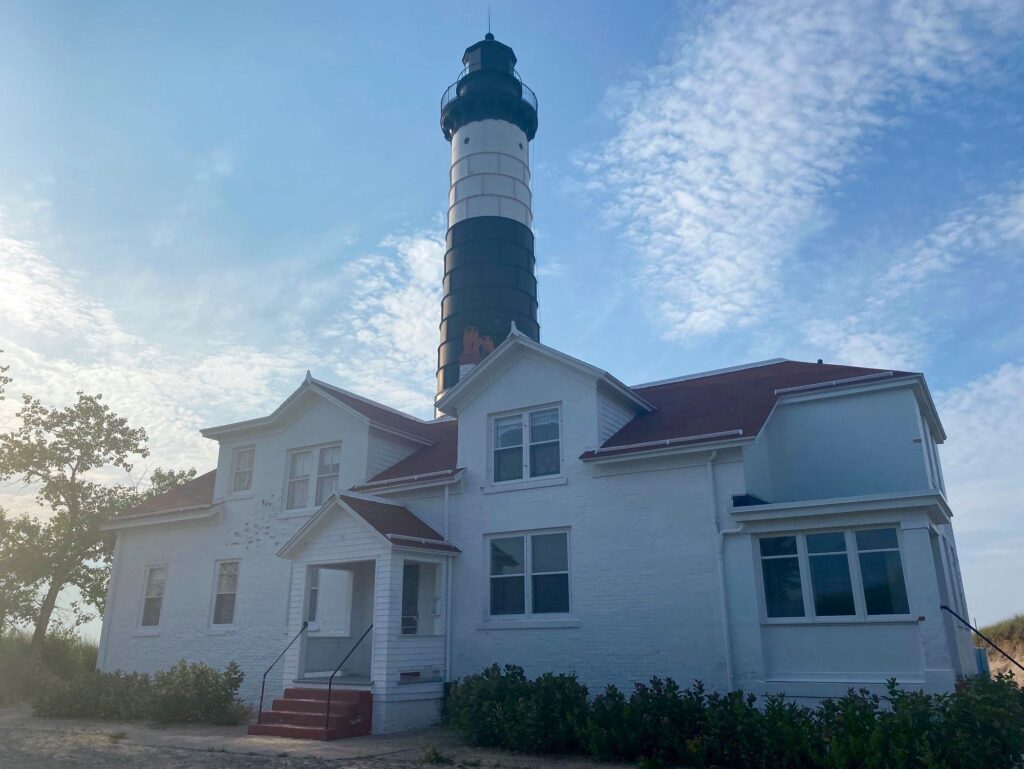
Built in 1867 and given its classic black and white paint in 1900, this lighthouse shown its light to mariners as far as 19 miles out. Restored in 1987 after a preservation association was formed, today it is a lovely building in a lovely setting.
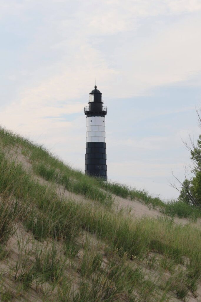
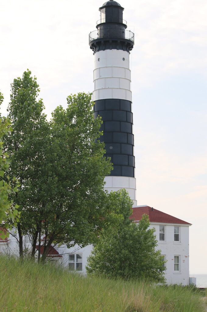
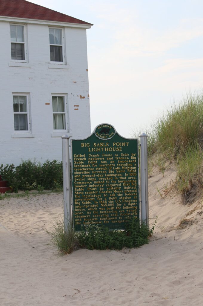
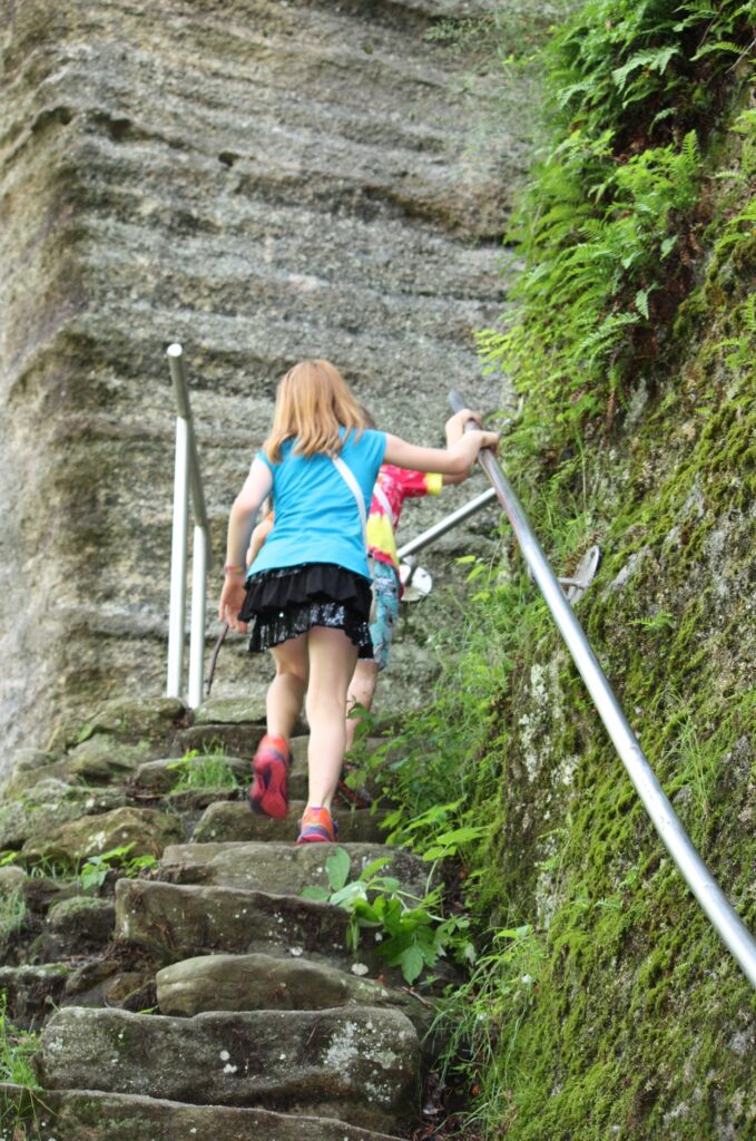
At 112 feet, the Big Sable Point Lighthouse is one of the tallest in Michigan. Throughout the year, tours can be purchased and you can climb the 130 steps to the top or just shop the gift shop in the original keepers quarters.
History
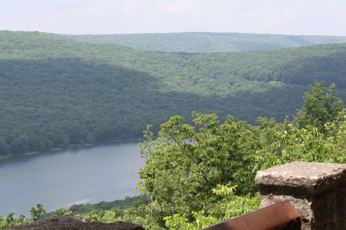
After visiting the park, I was curious about the history of Hamlin Lake. Not surprisingly, I learned that the area was originally purchased for logging interests, and the dam creating Lake Hamlin was originally erected to create a holding pond for logs. The area that is now Ludington State Park was once the short-lived village of Hamlin. In the mid-1800s, the area contained mills, boardinghouses, a schoolhouse, and many homes. In the late 1800s, after two dam breaks that washed many homes into Lake Michigan and the decline of the lumber industry, the village of Hamlin all but disappeared. The few buildings that remained were removed by the Civilian Conservation Corps in the 1930s to make way for the new state park.
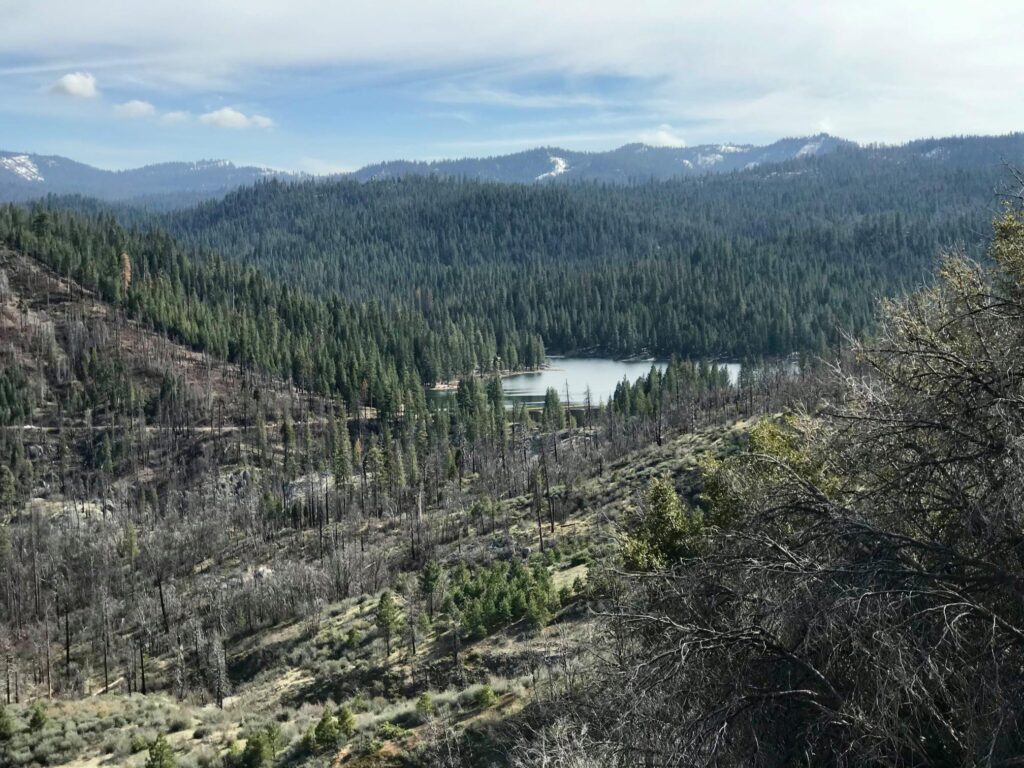
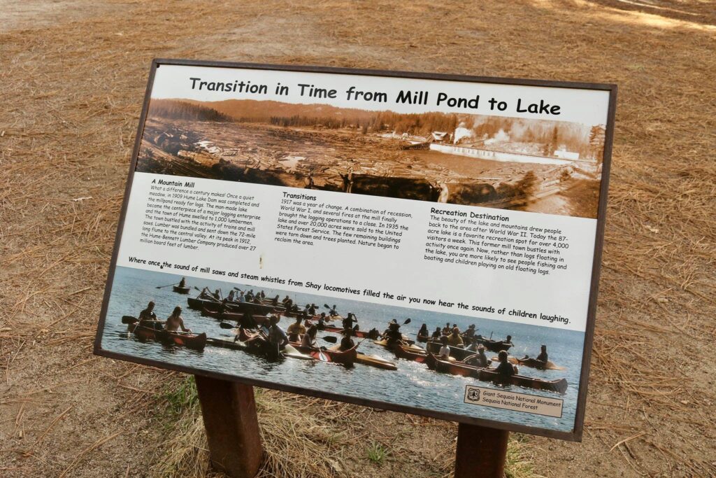
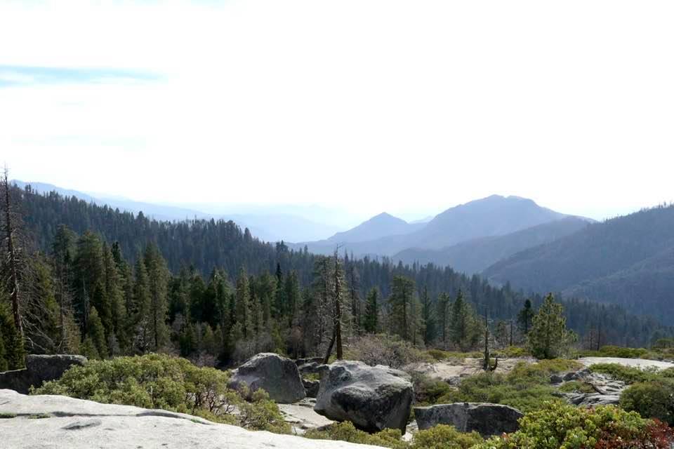
Like my recent visit to Hume Lake in Kings Canyon National Park, I was struck by how nature not only reclaimed an area that humans tried to dominate but how humans had also been altered in the exchange. When both of these areas were stripped of their trees and nature fought back, people changed their relationship with the land. They found recreation and preservation worthwhile and dominance and destruction were given up. May we continue to connect to the land and not dominate and destroy it.
So many reasons to return!
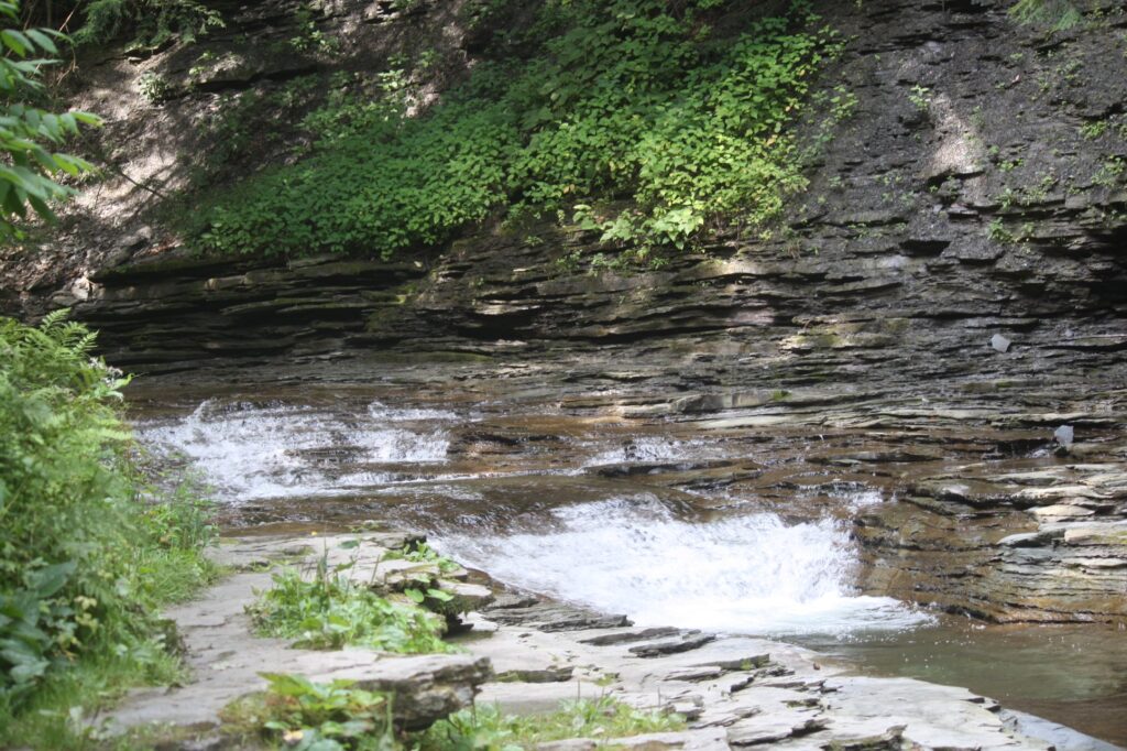
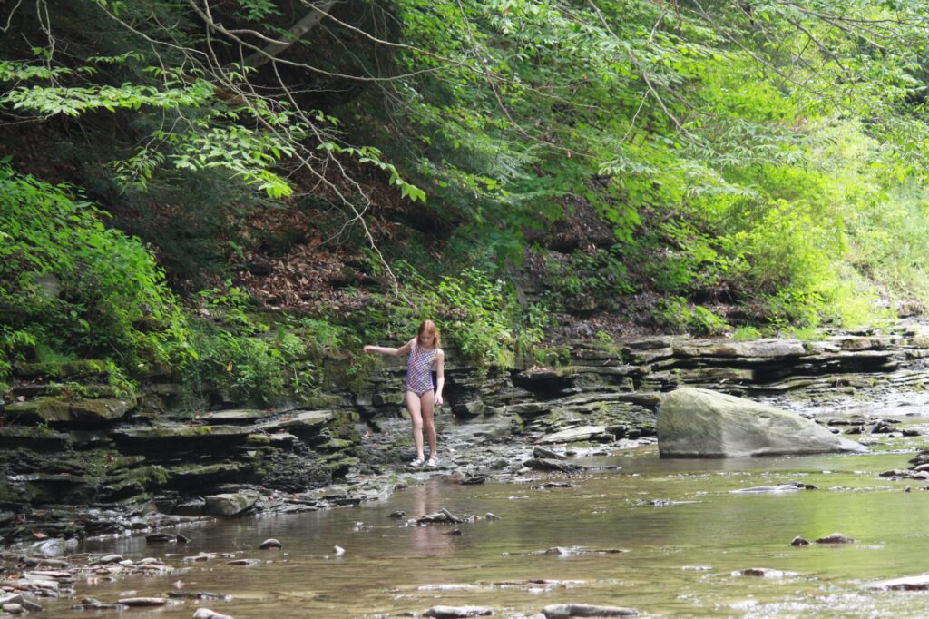
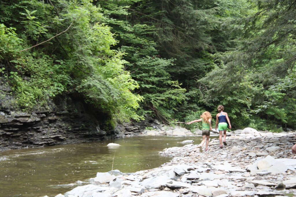
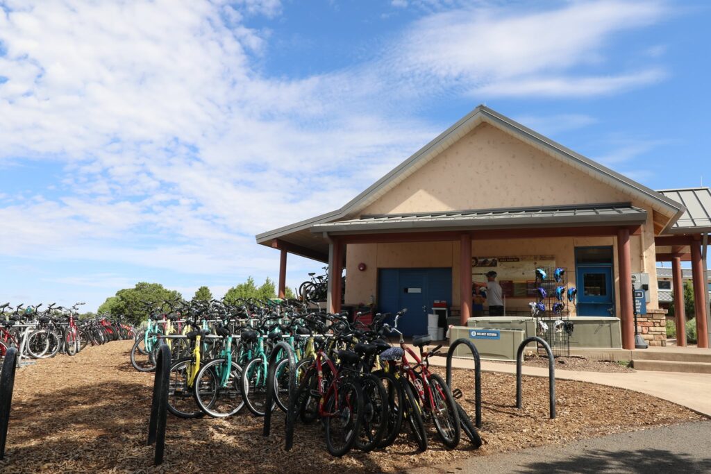
In addition to the activities we enjoyed during our day trip here, this park has so much more to offer. From biking trails and bike rentals to a whole separate beach area on Hamlin Lake and from fishing along the Big Sable River to kayaking and canoeing trails, this is a park that I hope to return to someday!
Don’t miss out on adventure! Subscribe below!