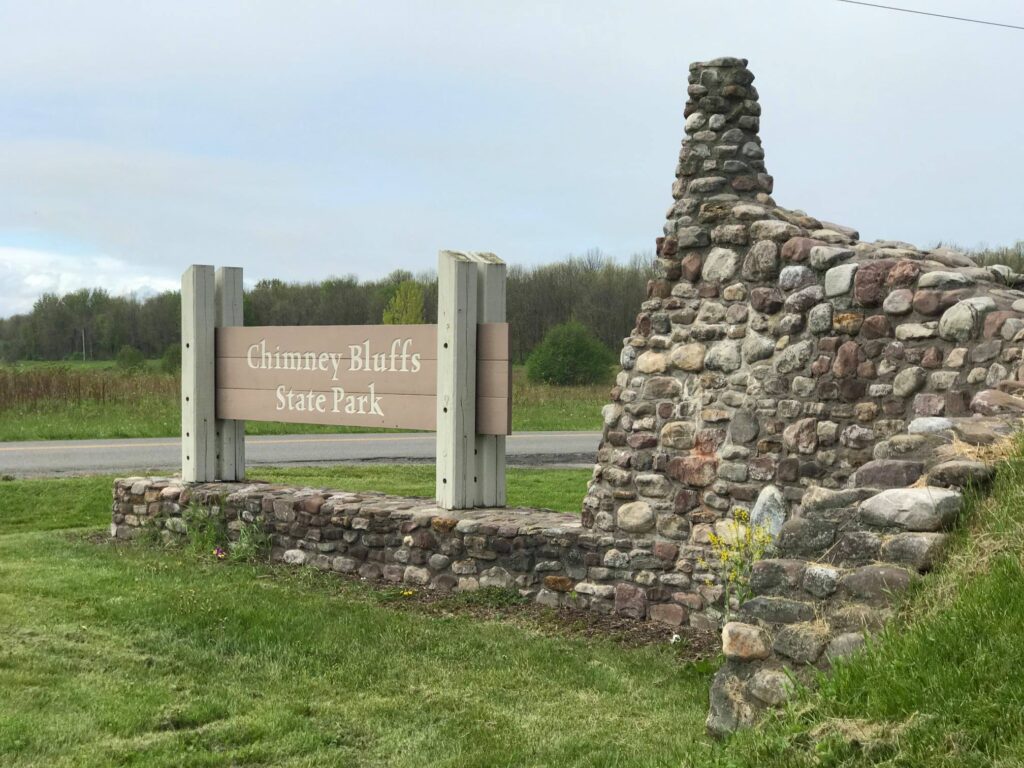
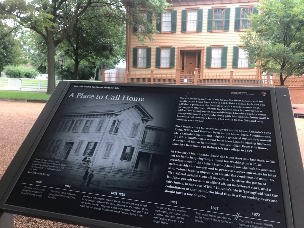
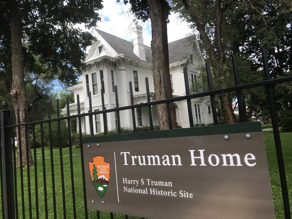
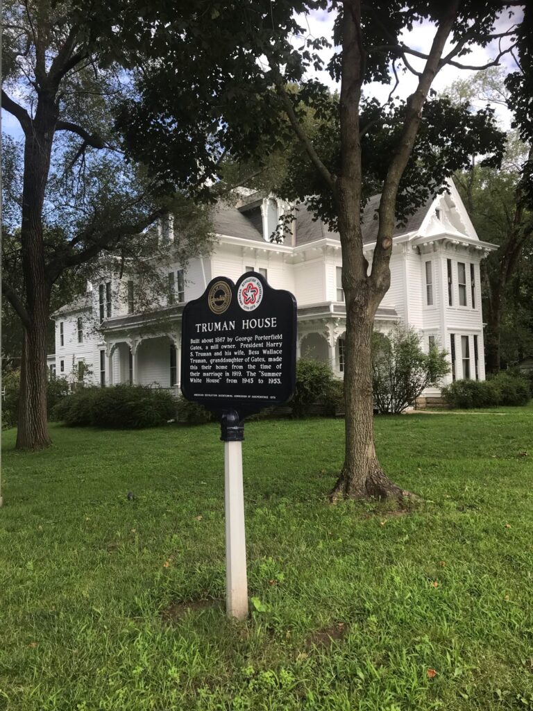
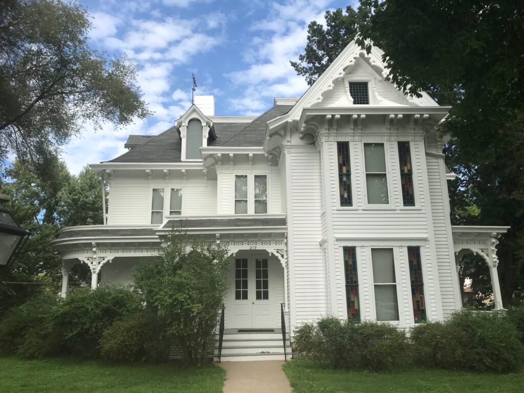
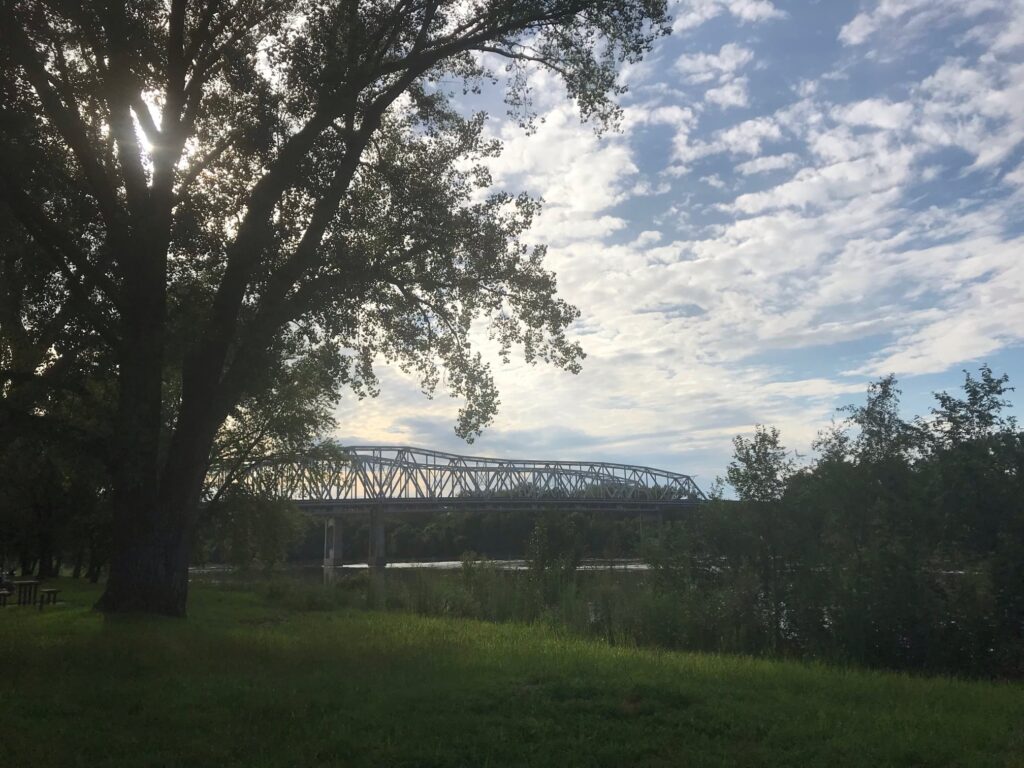
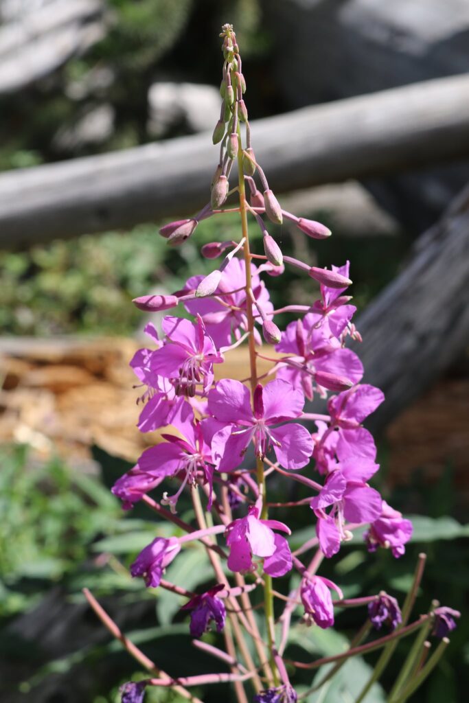
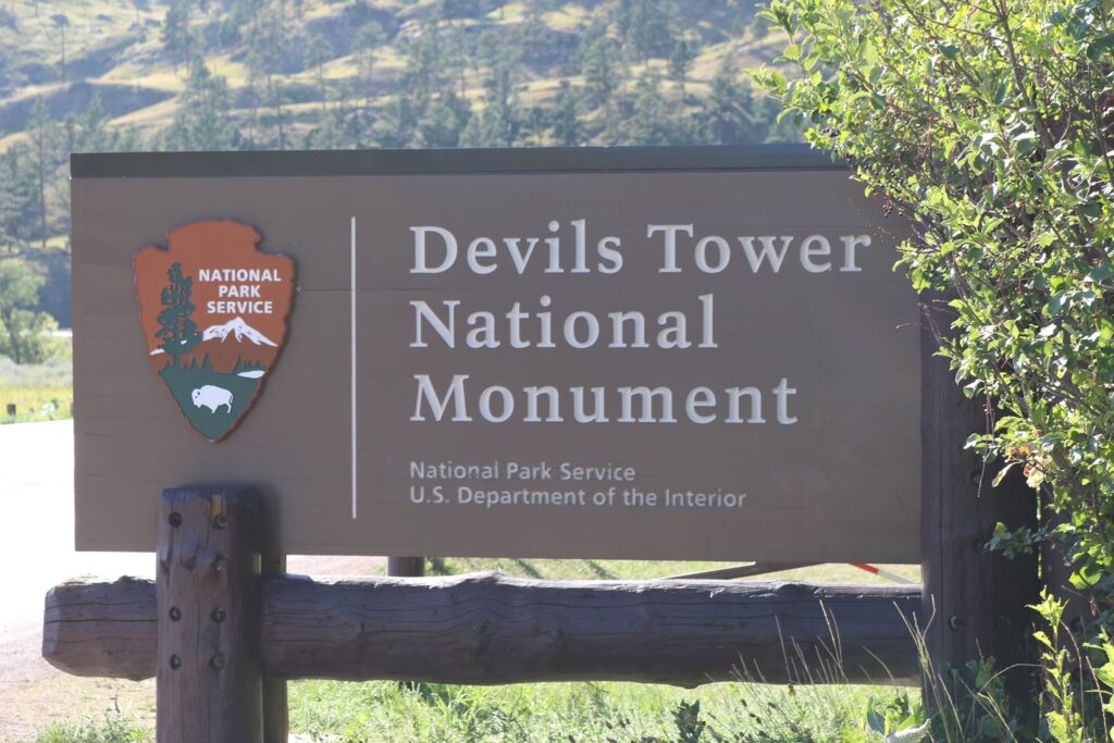
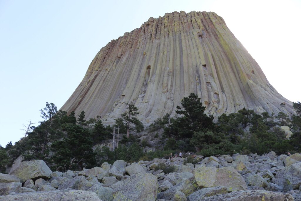
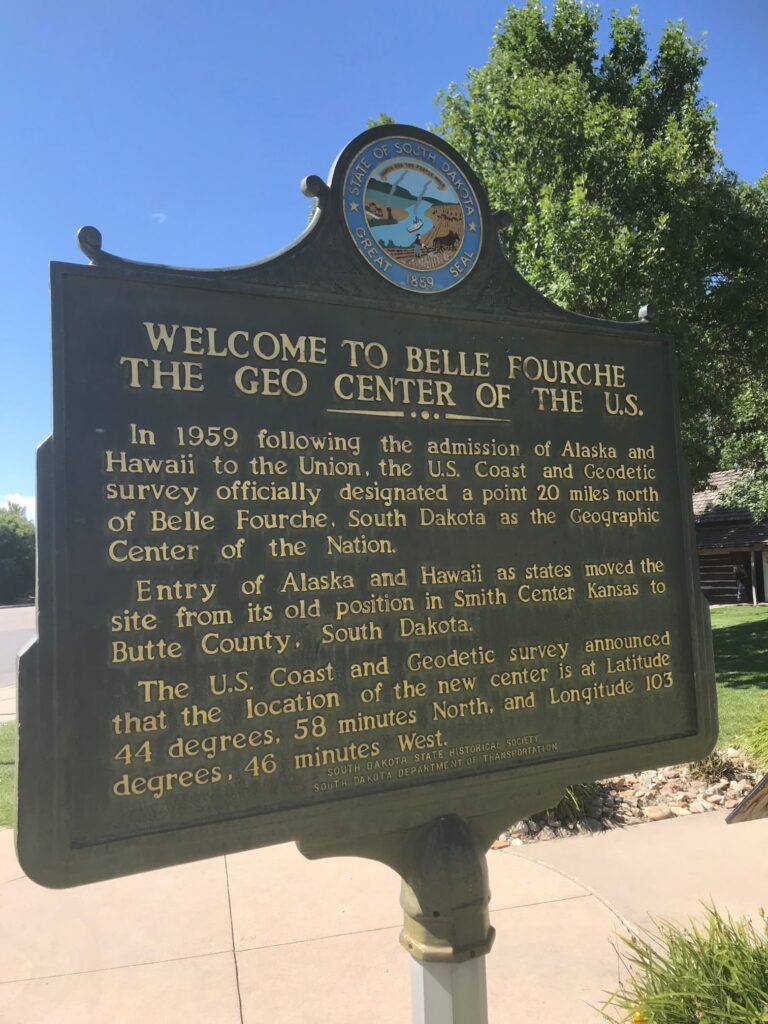
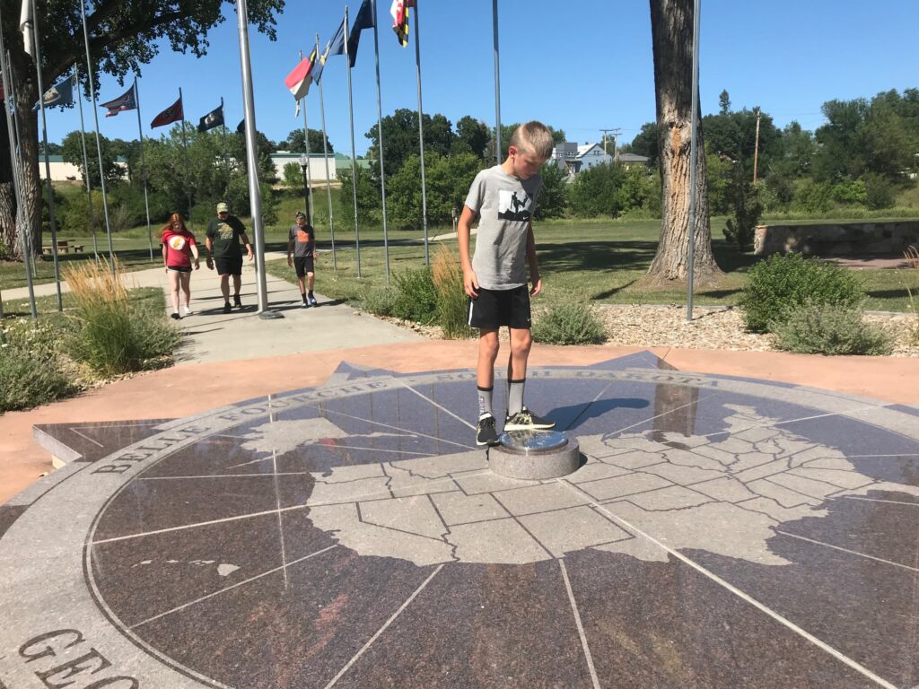
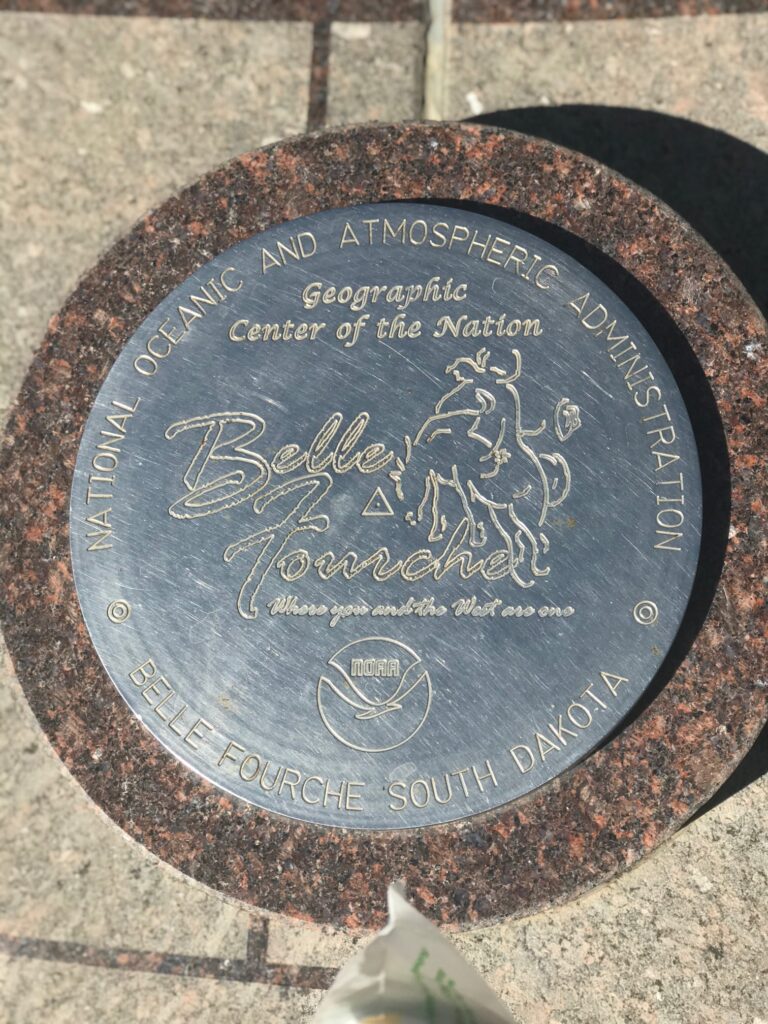
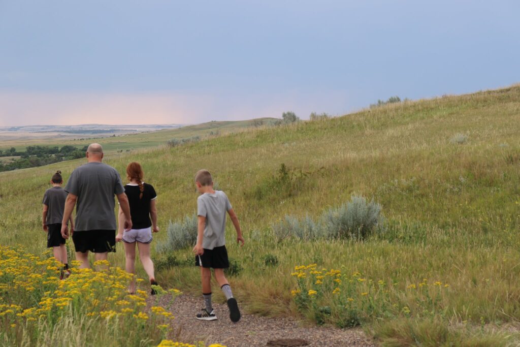
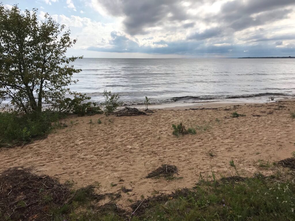
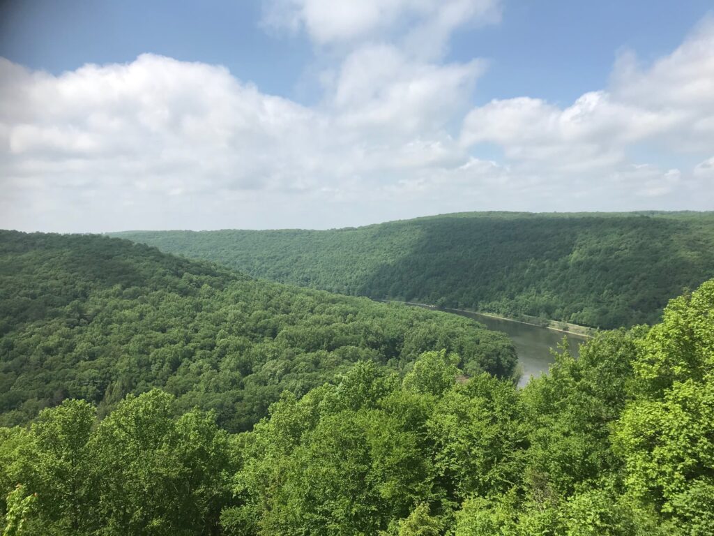
This small New York State Park in Wolcott could be easily overlooked. Depending on when and where you go, one could potentially think they have seen it all in an hour, but I want to persuade you to spend a whole day here. Like with people, first impressions aren’t always accurate. This park might seem like it is just a pretty picnic spot on the edges of Lake Ontario but look deeper with me as I show you the many facets of this park that are revealed as the sun’s position changes across the sky.
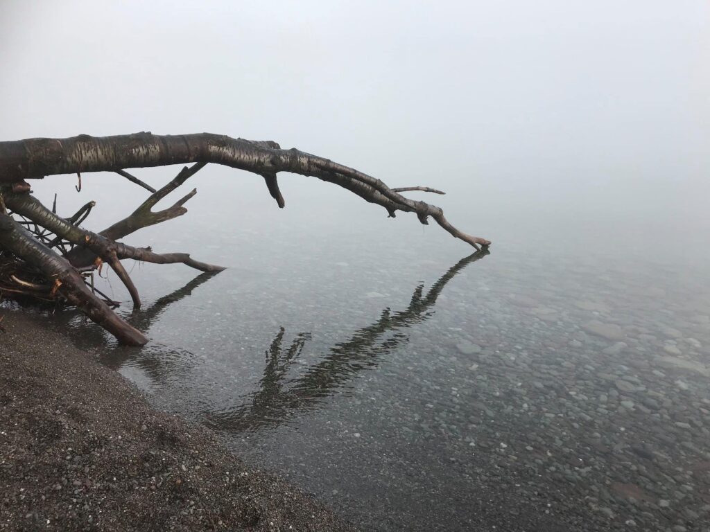
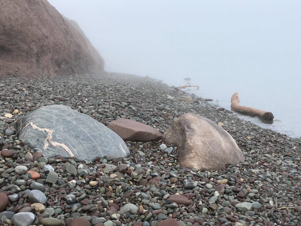
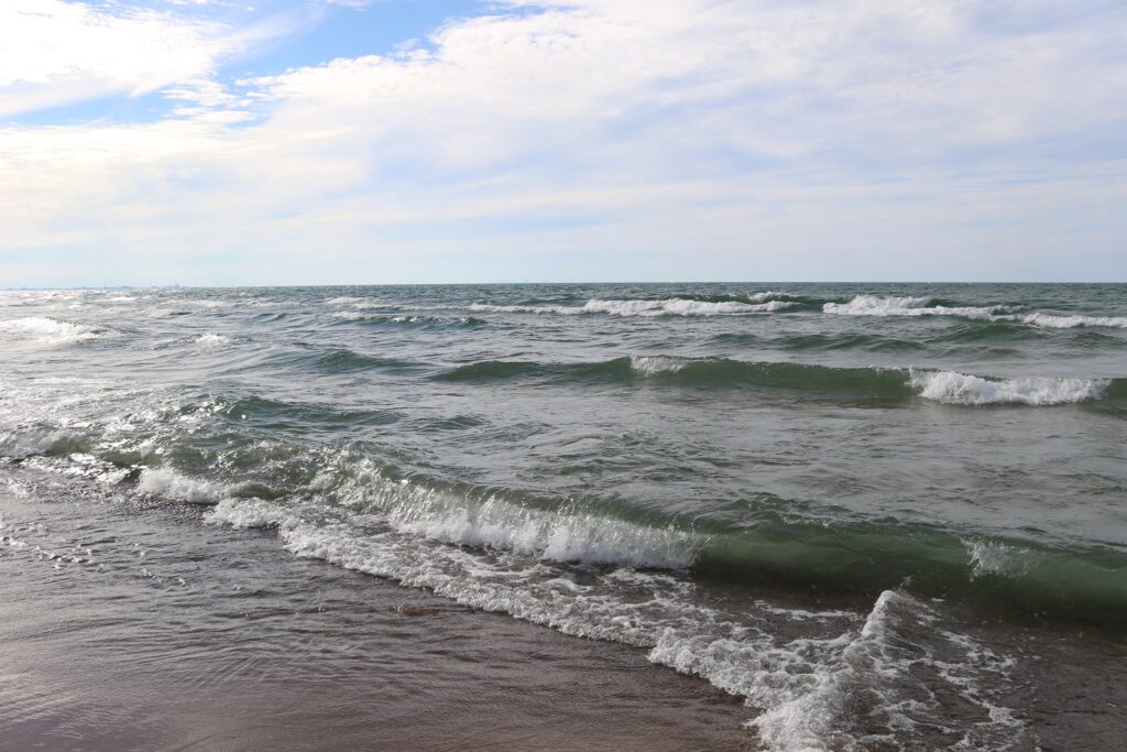
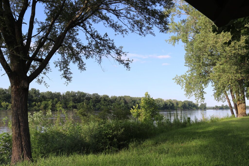
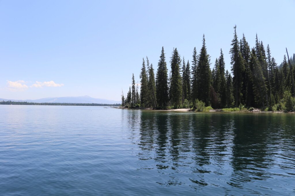
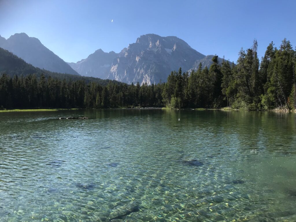
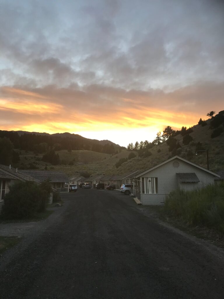
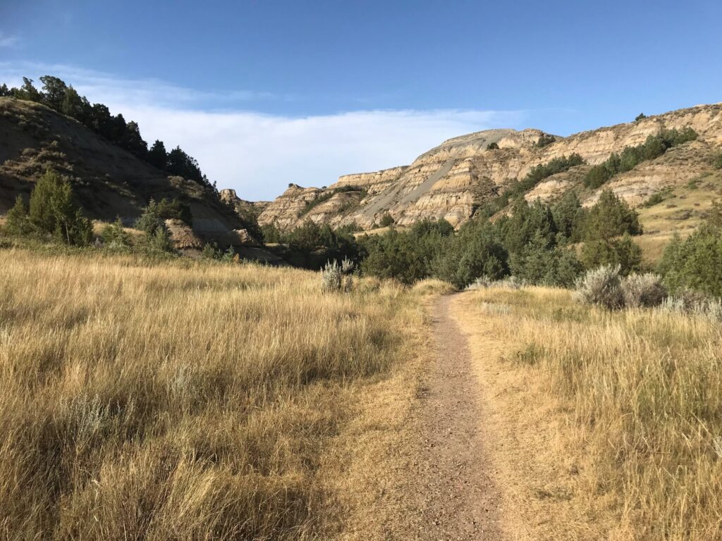
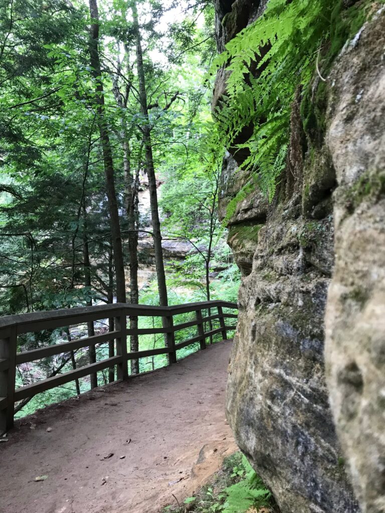
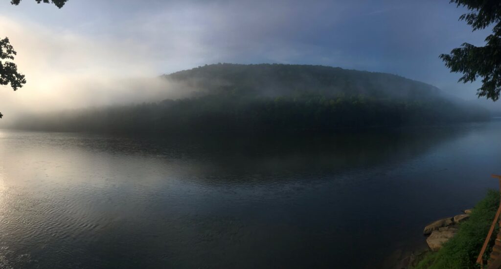
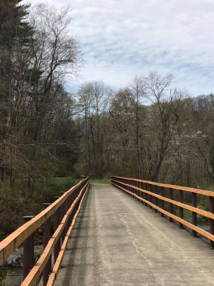
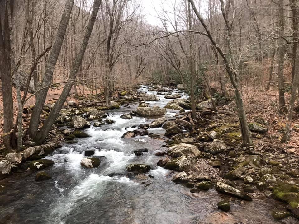
There are two entrances to the park. The main entrance featured in the first photo is located off Gardener Road. The image above is at lake level from a lesser-used entrance with its own small parking lot off of East Bay Rd. If you can, arrive at this parking area with the rising sun and you will be treated to an otherworldly landscape. On the morning I first explored this park, the shore was shrouded with fog as I began my walk along the lake.
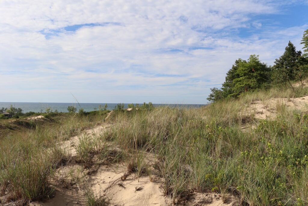
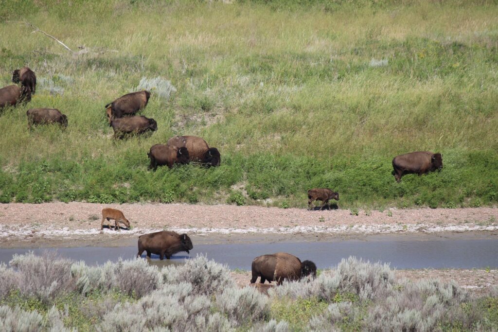
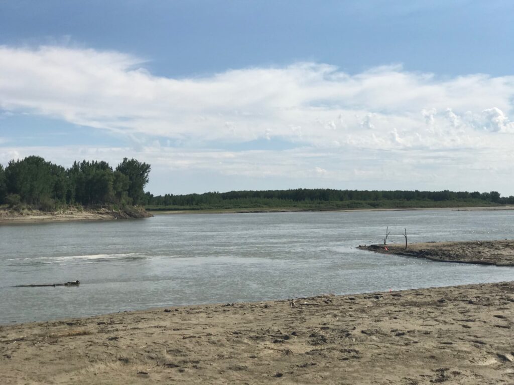
Early morning on the shore of Lake Ontario
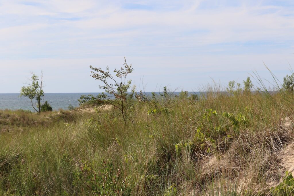
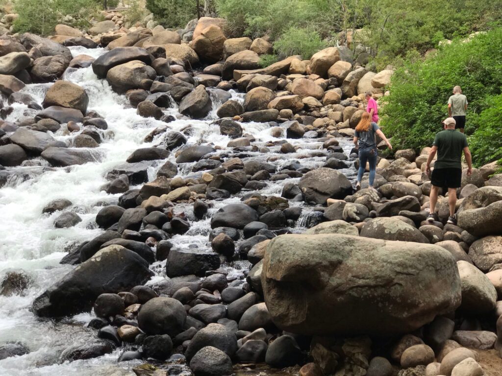
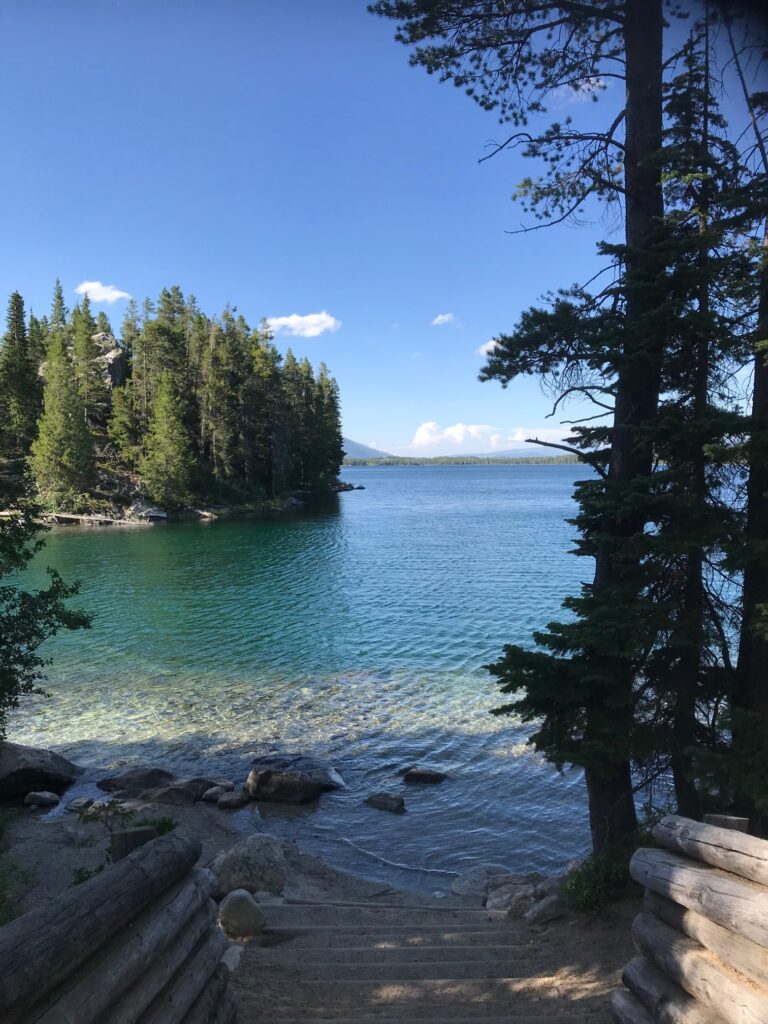
The shoreline is just steps from the small parking area off East Bay Road. To the right, when facing the lake, is private property but by turning left one can enter the park and walk its mile-long stretch of shore.
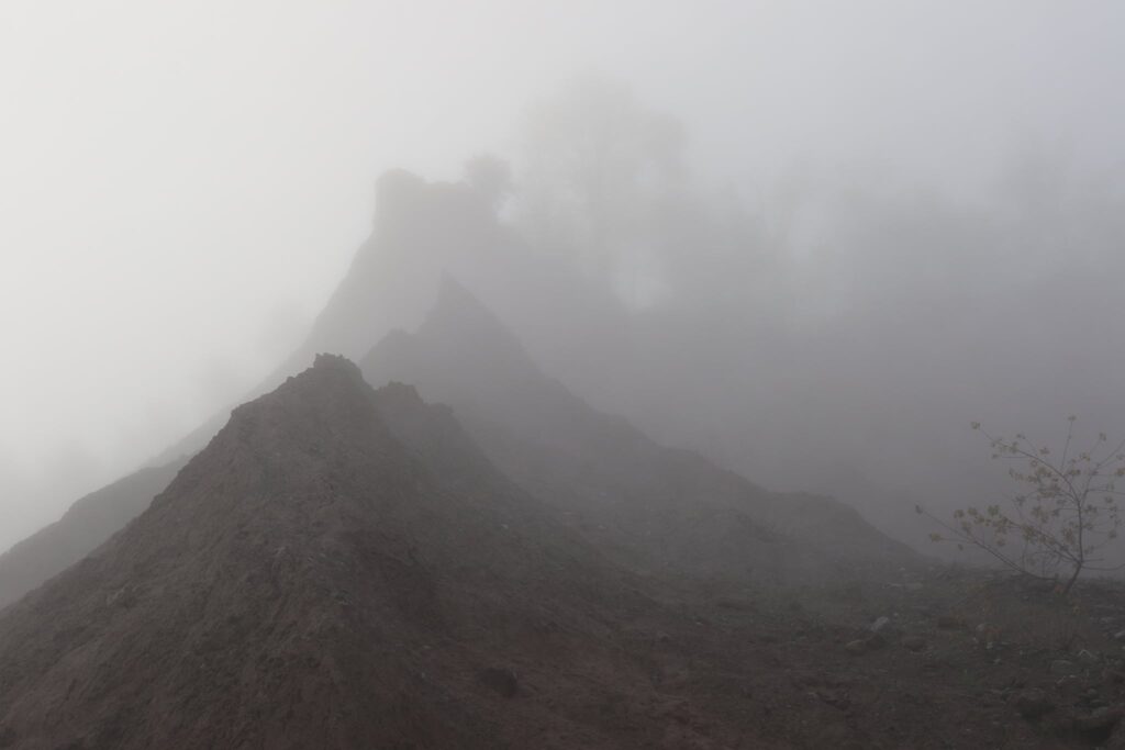
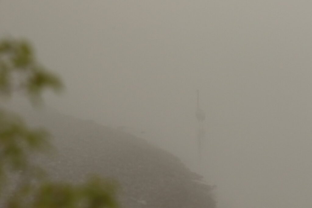
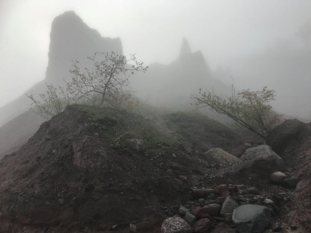
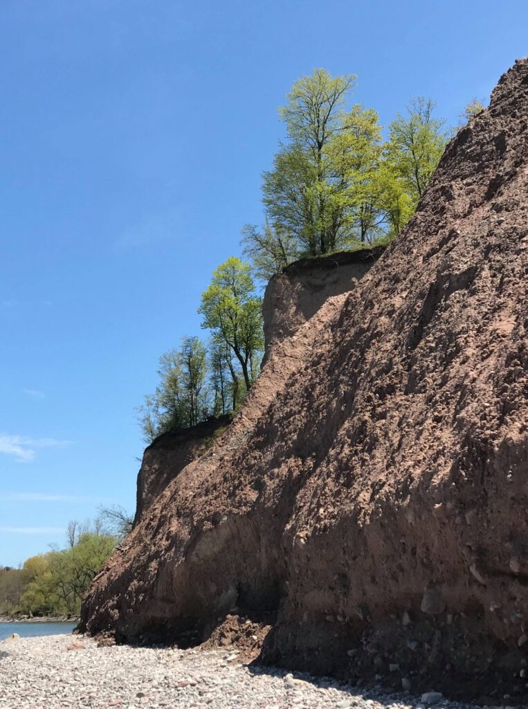
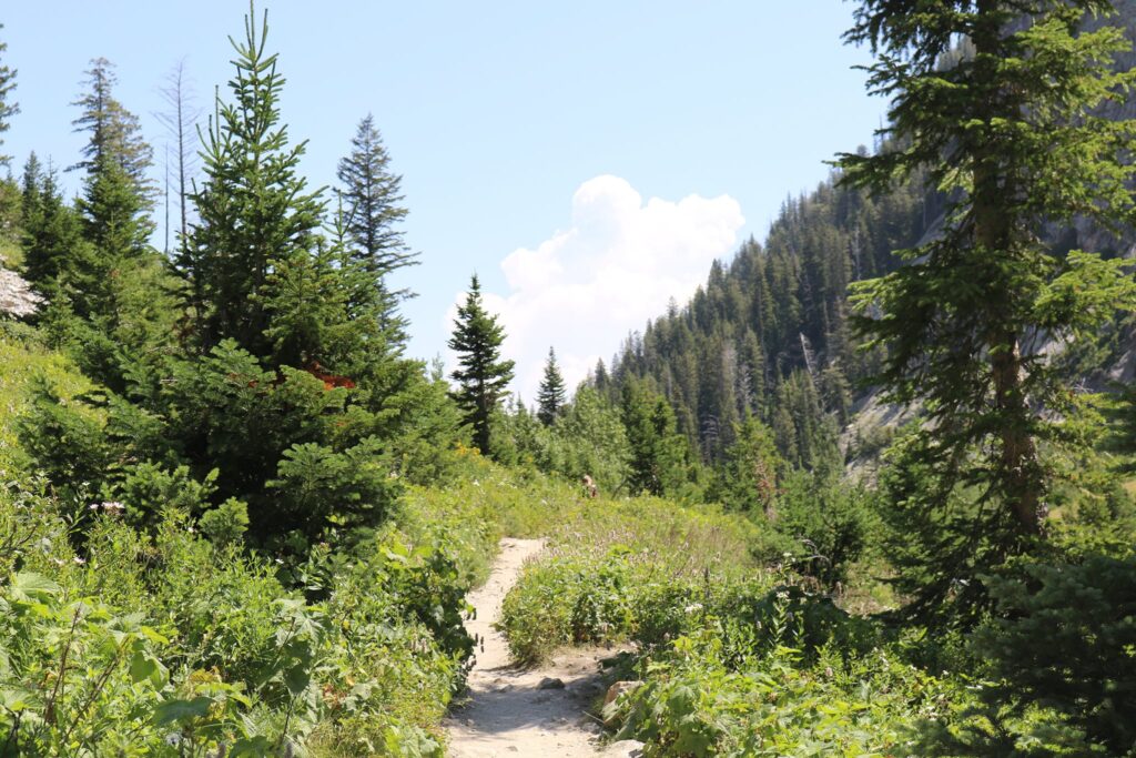
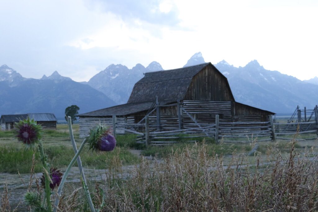
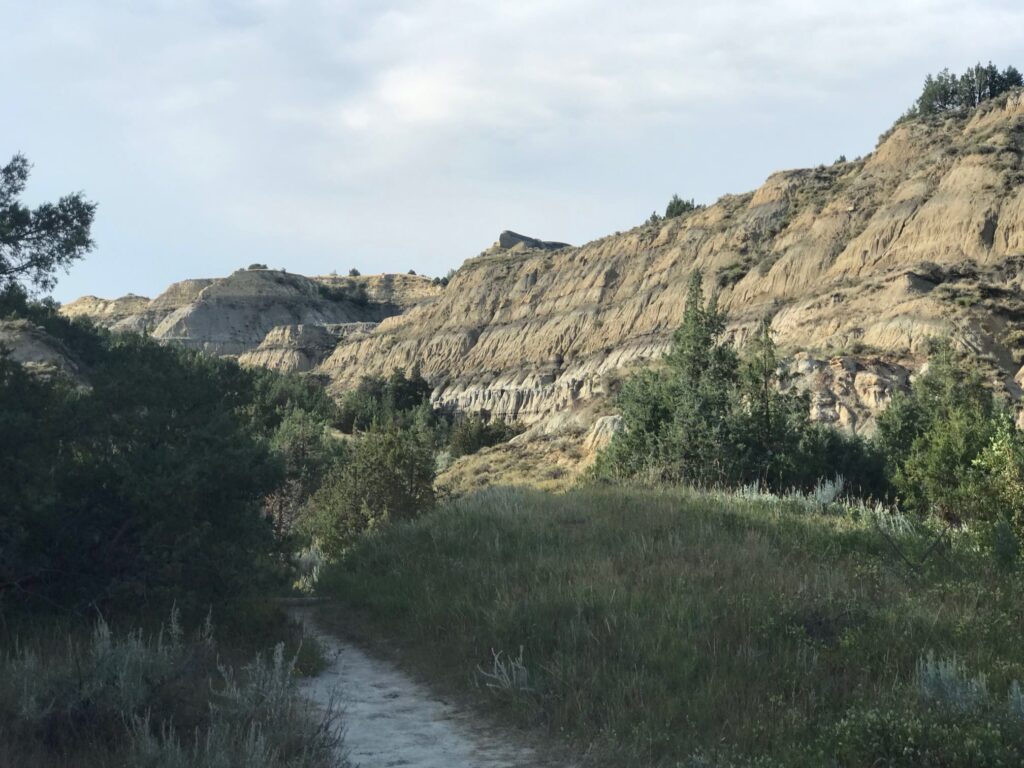
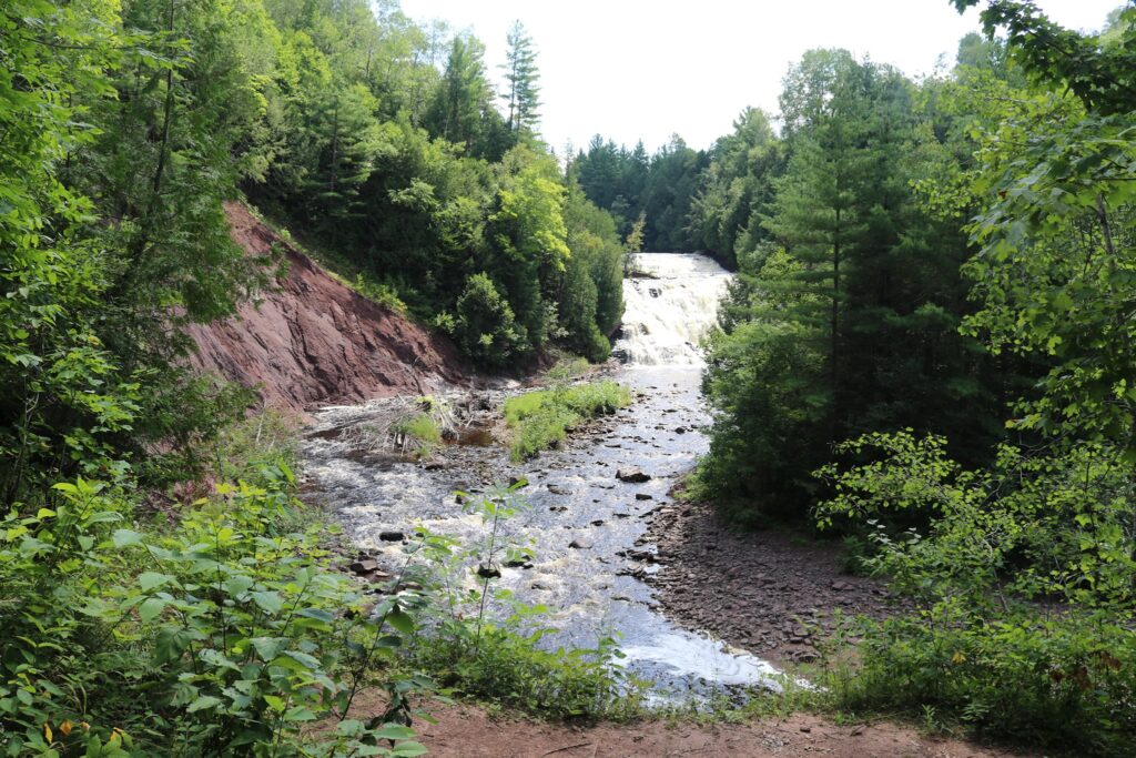
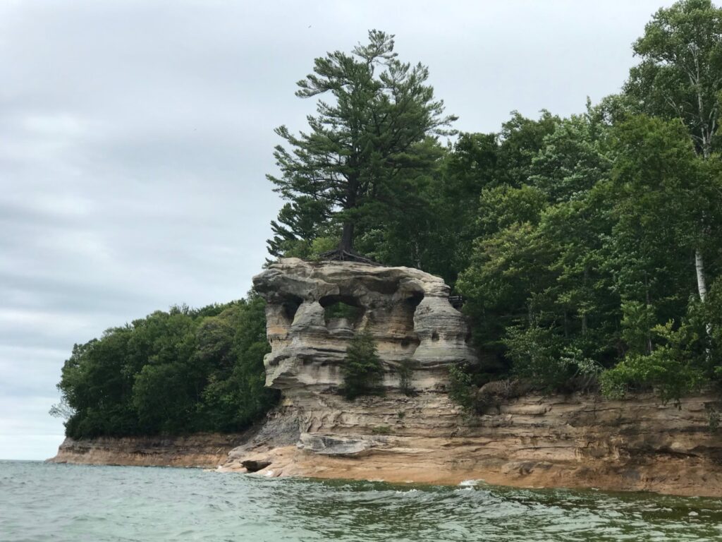
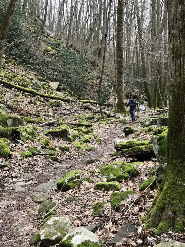
A first look at the bluffs through the fog.
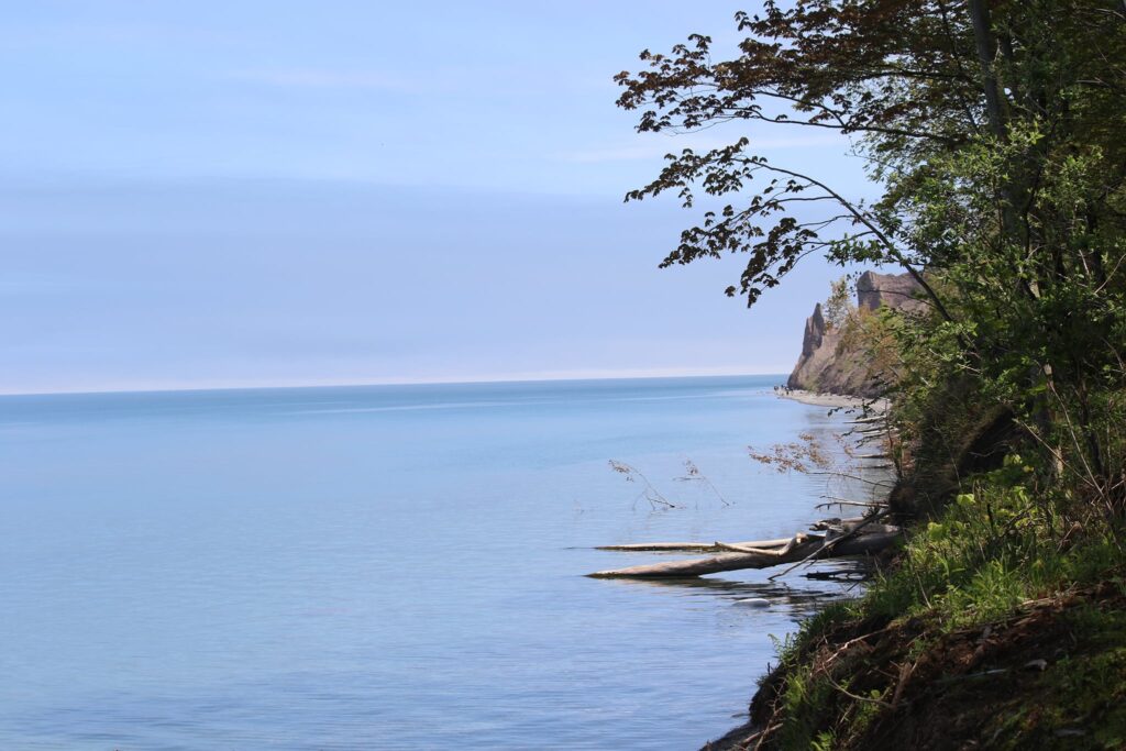
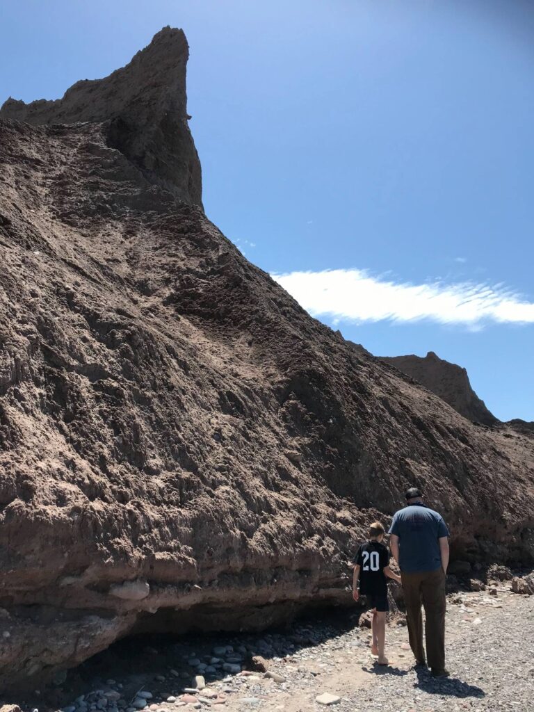
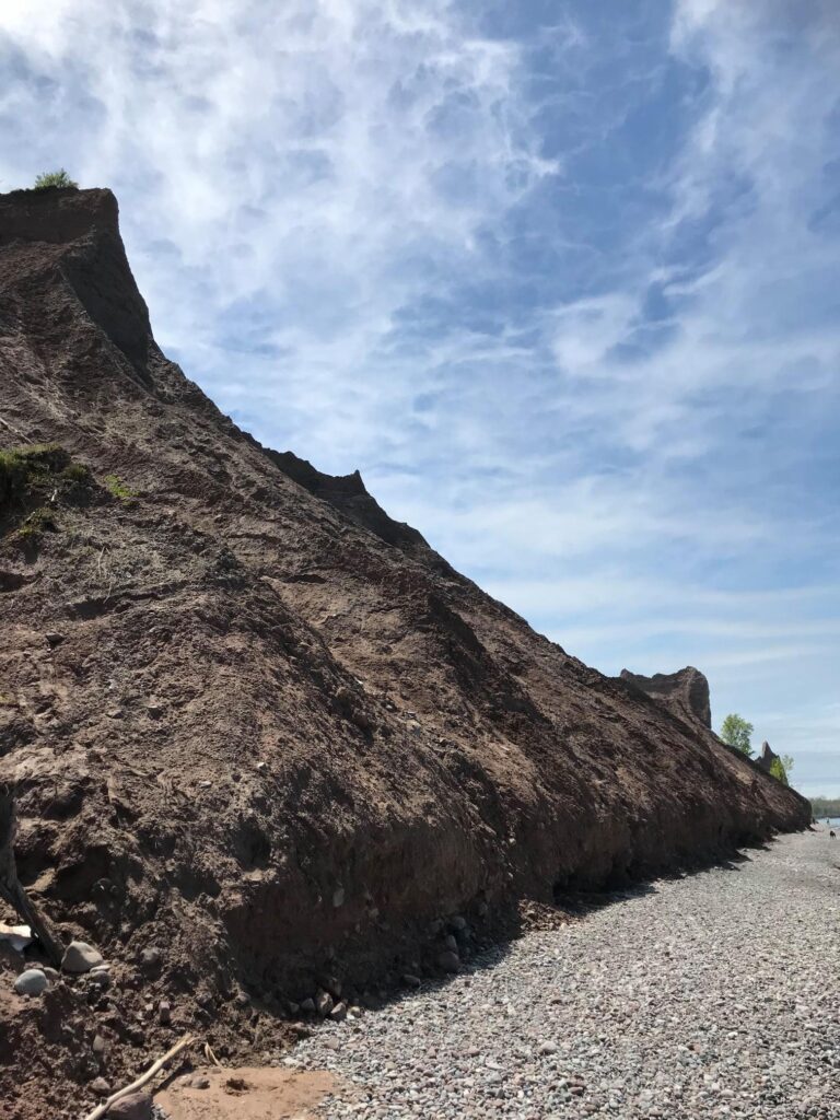
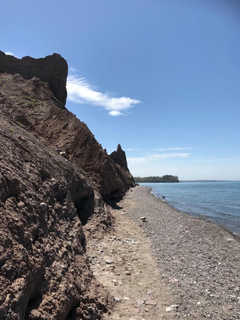
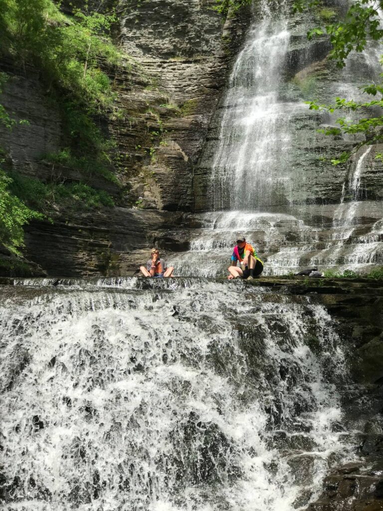
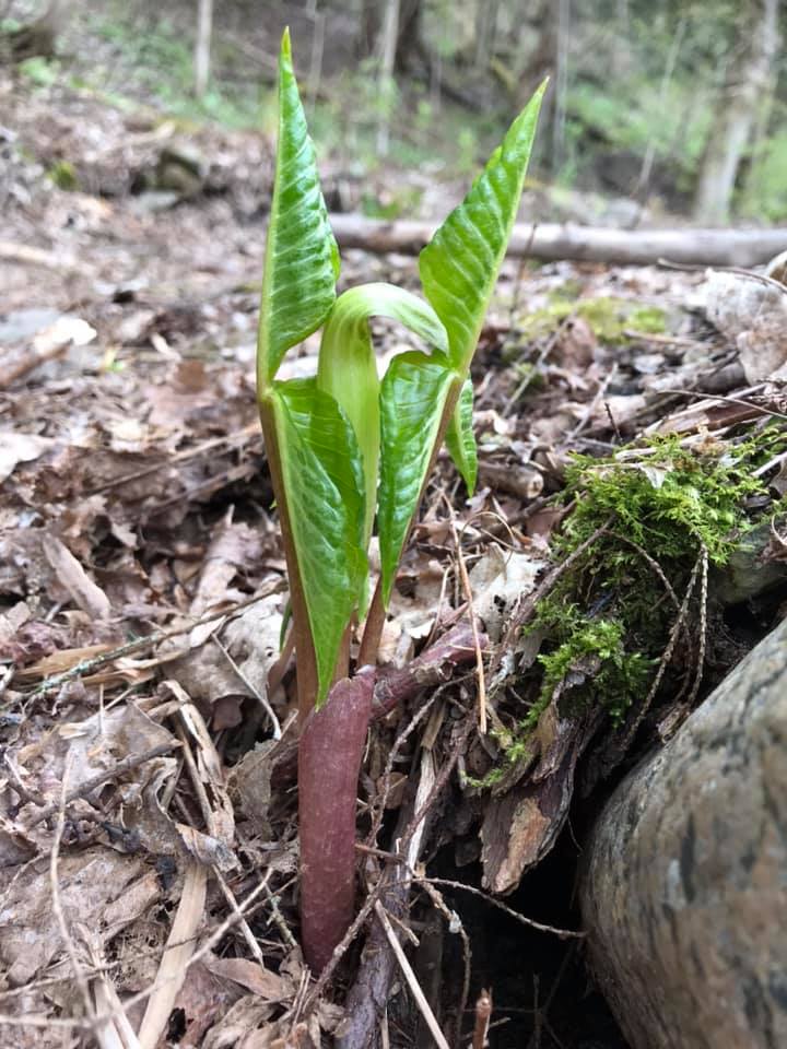
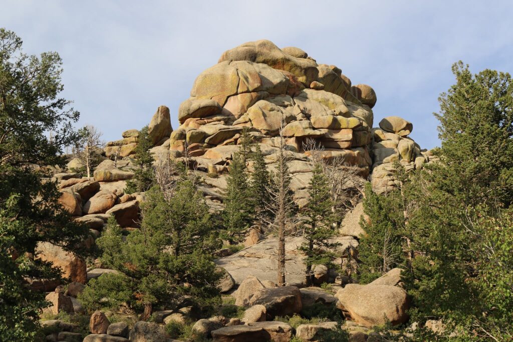
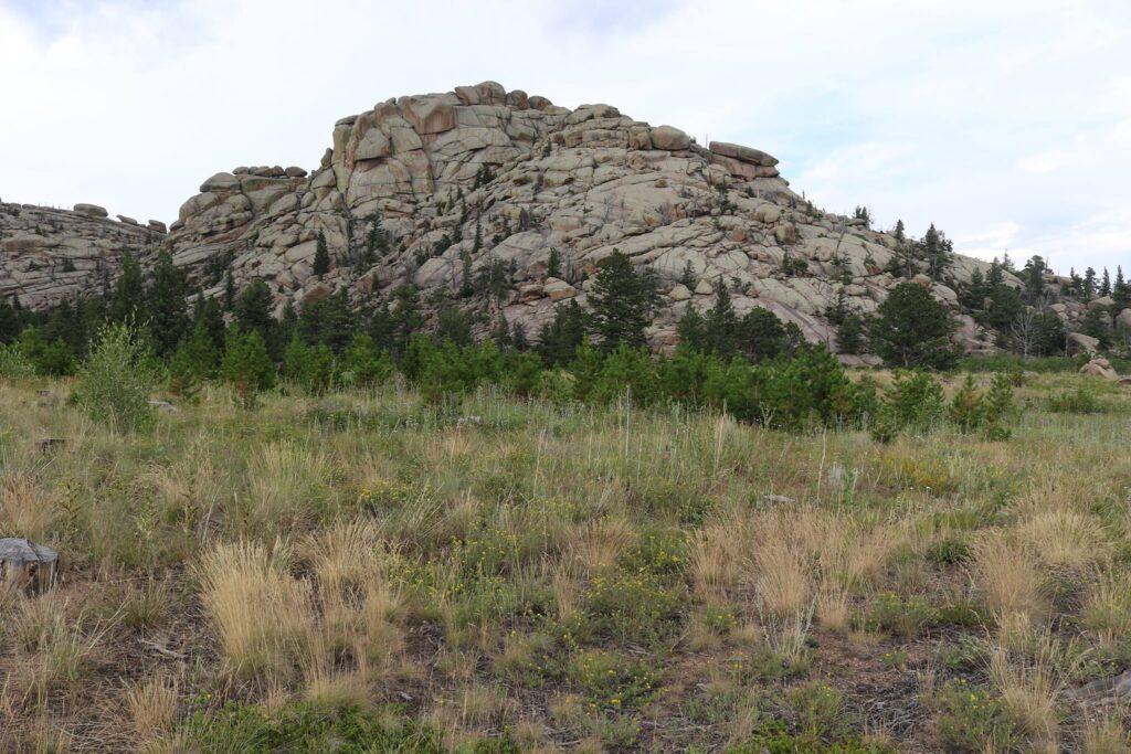
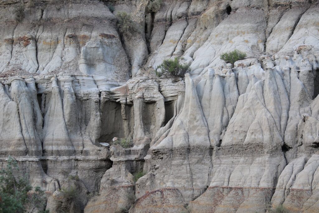
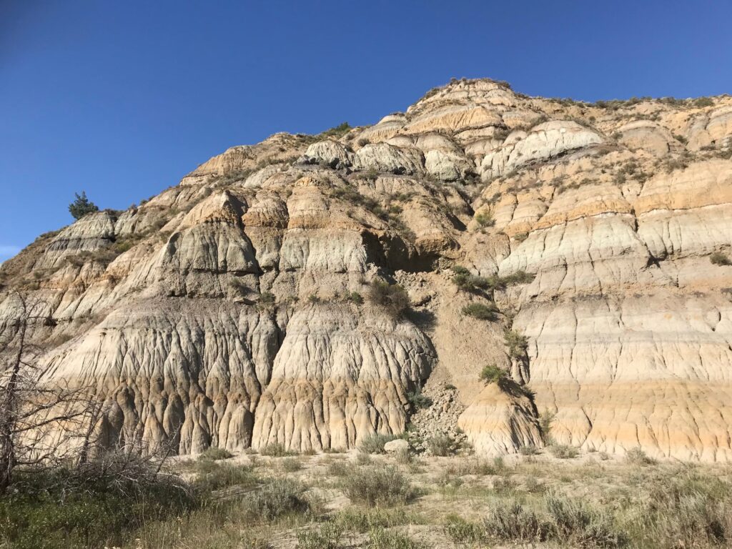
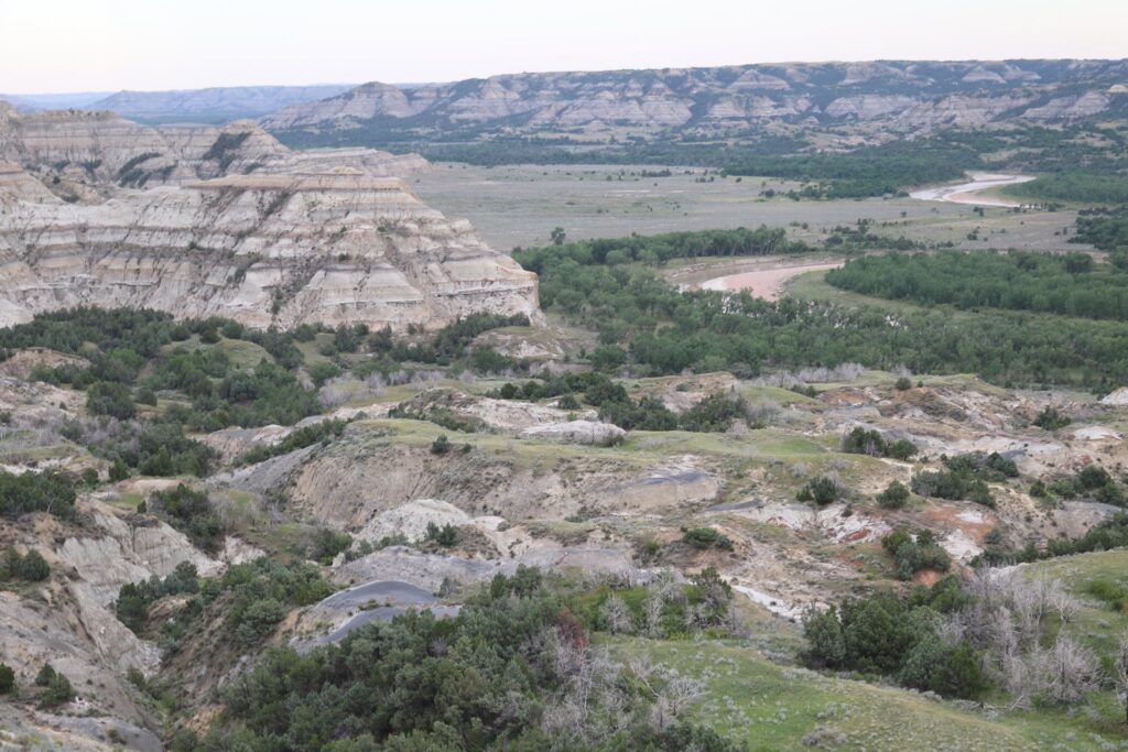
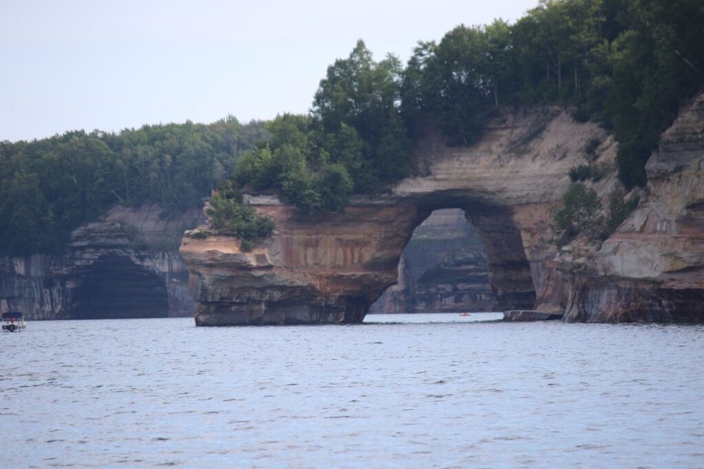
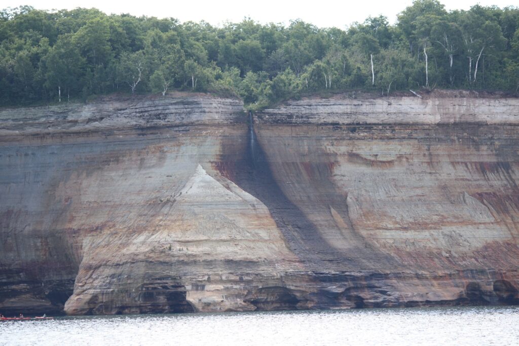
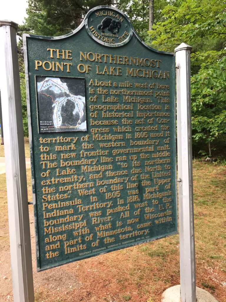
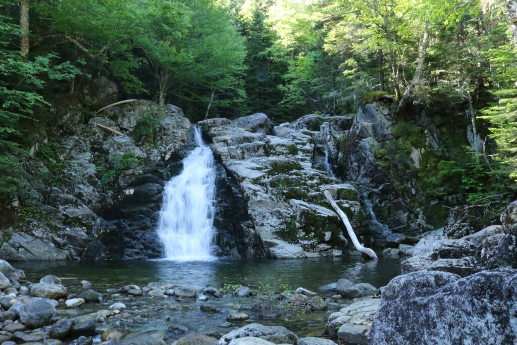
The most notable features of Chimney Bluffs State Park are the large drumlins along the water. This drumlin field contains large spires made from gravel, sand, and clay deposited after the last glaciers retreated.
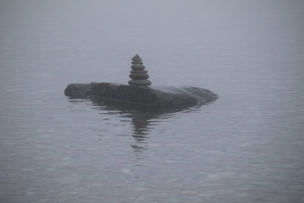
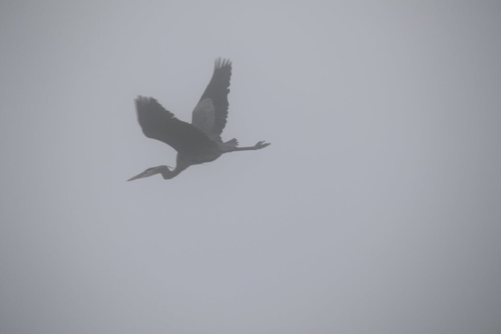
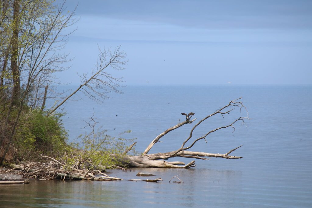
A cairn and heron at the water’s edge and then the heron takes flight.
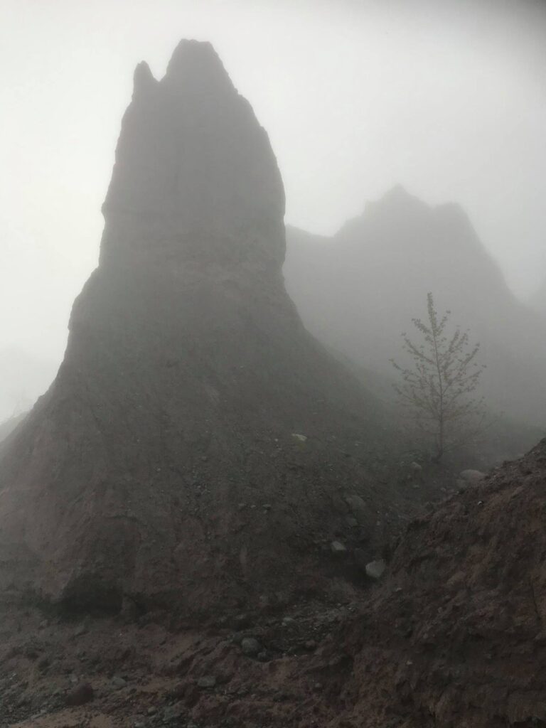
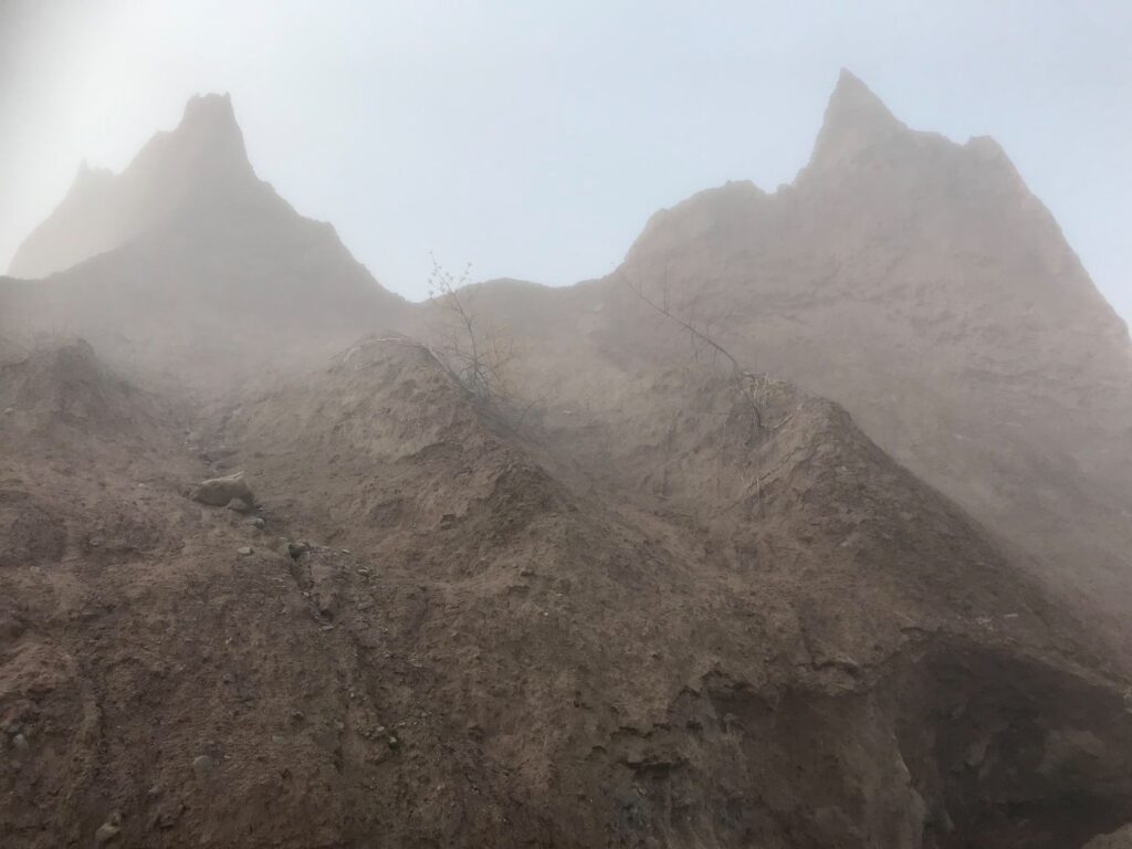
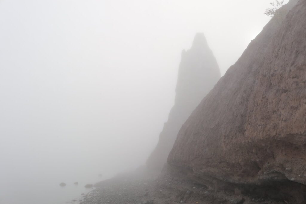
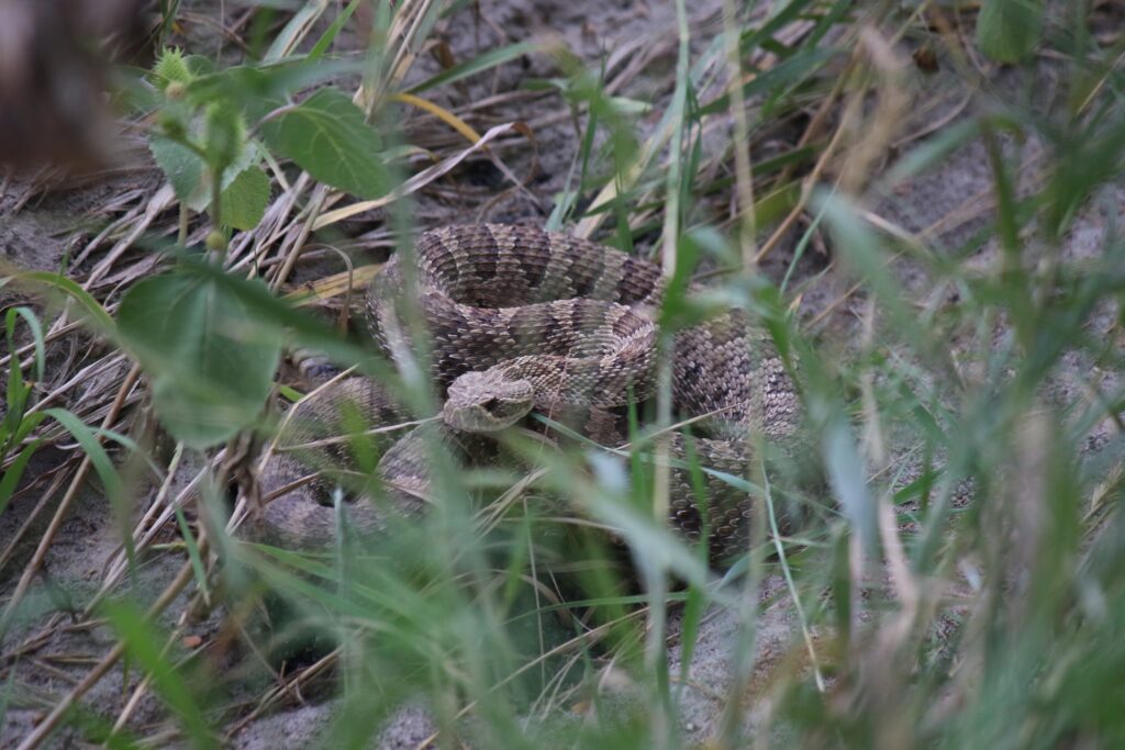
I was alone with the water and the wildlife as I walked along the shore. It was very peaceful. Before long many of the drumlins came into view through the fog.
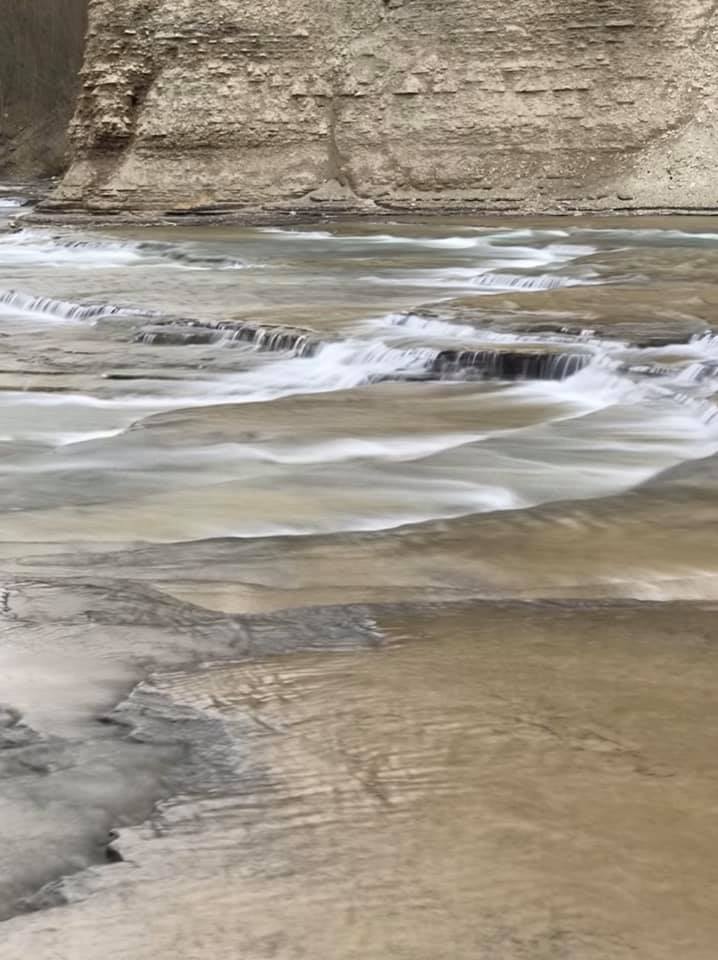
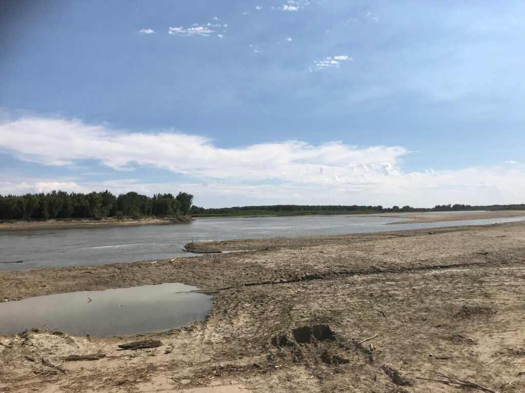
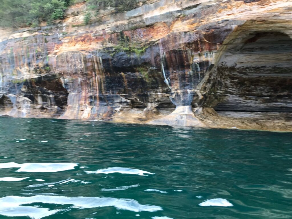
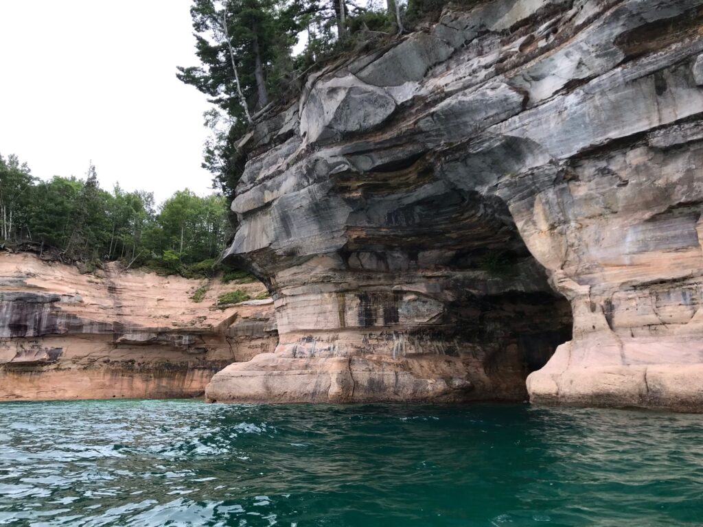
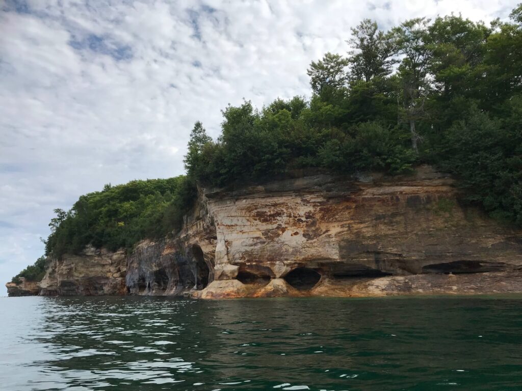
I walked along for almost a mile before the number of fallen trees influenced my decision to turn around before I reached the opposite park boundary. It was very clear that the shoreline is always changing and eroding. Returning to this spot in another year might yield a very different scene. So I enjoyed this moment of Lake Ontario shore as I made my way back the way I came while the sun slowly burned off the fog.
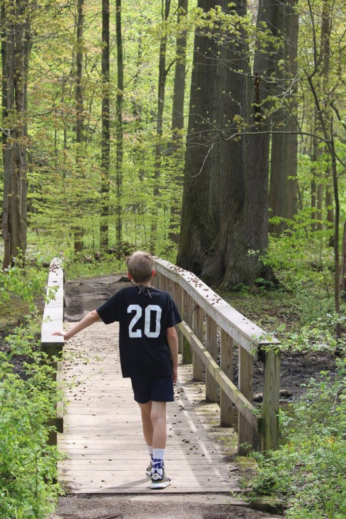
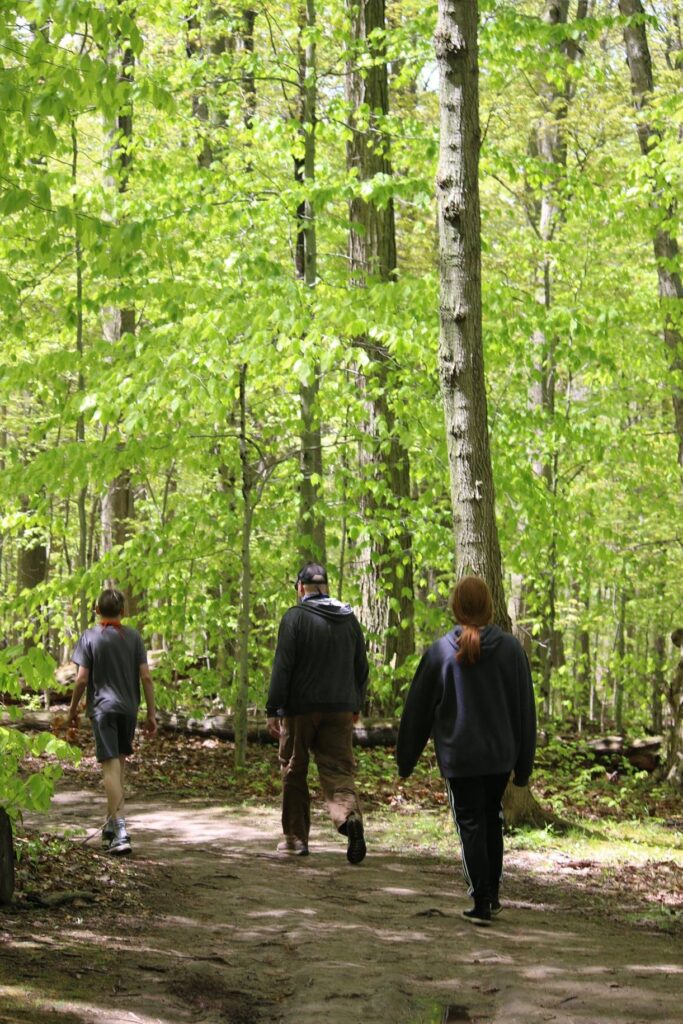
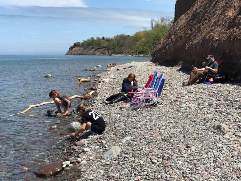
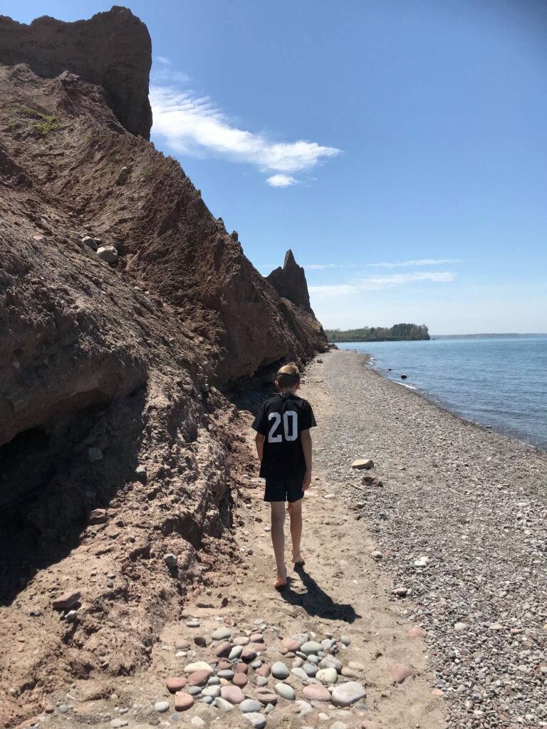
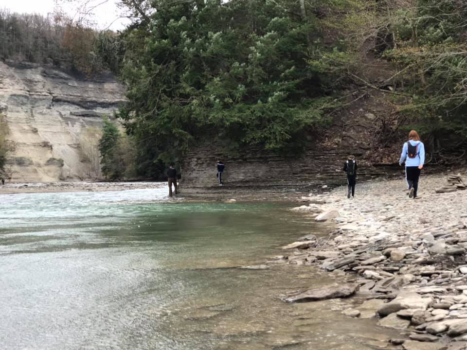
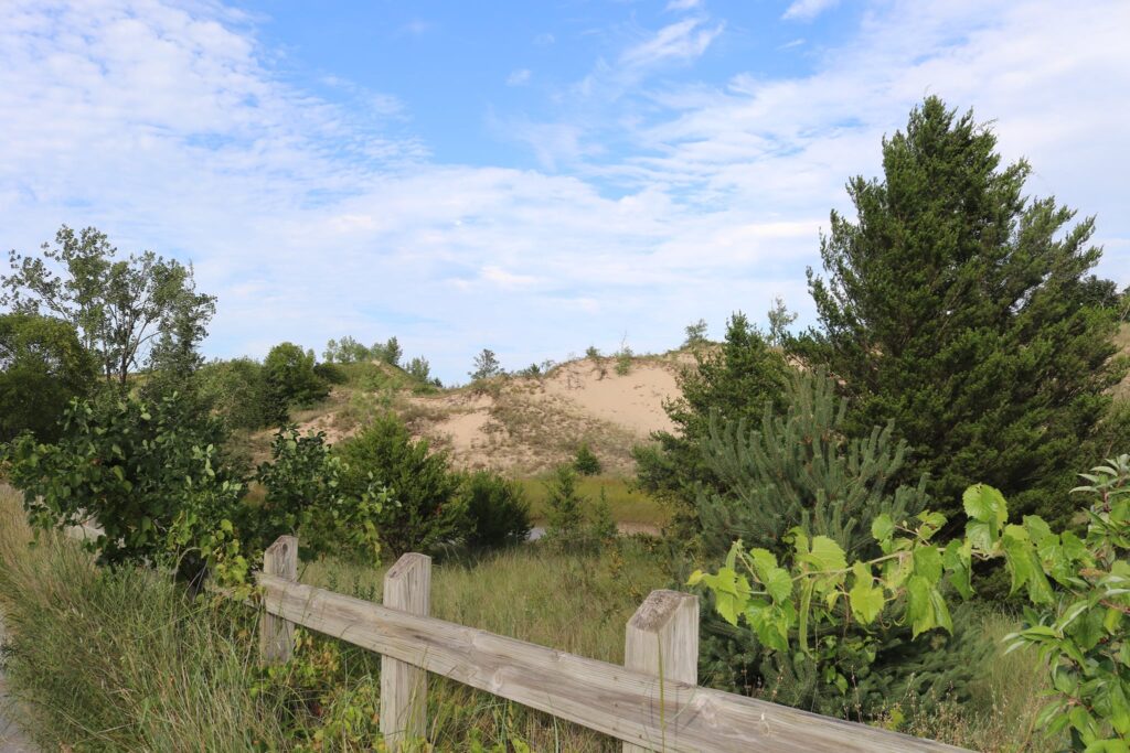
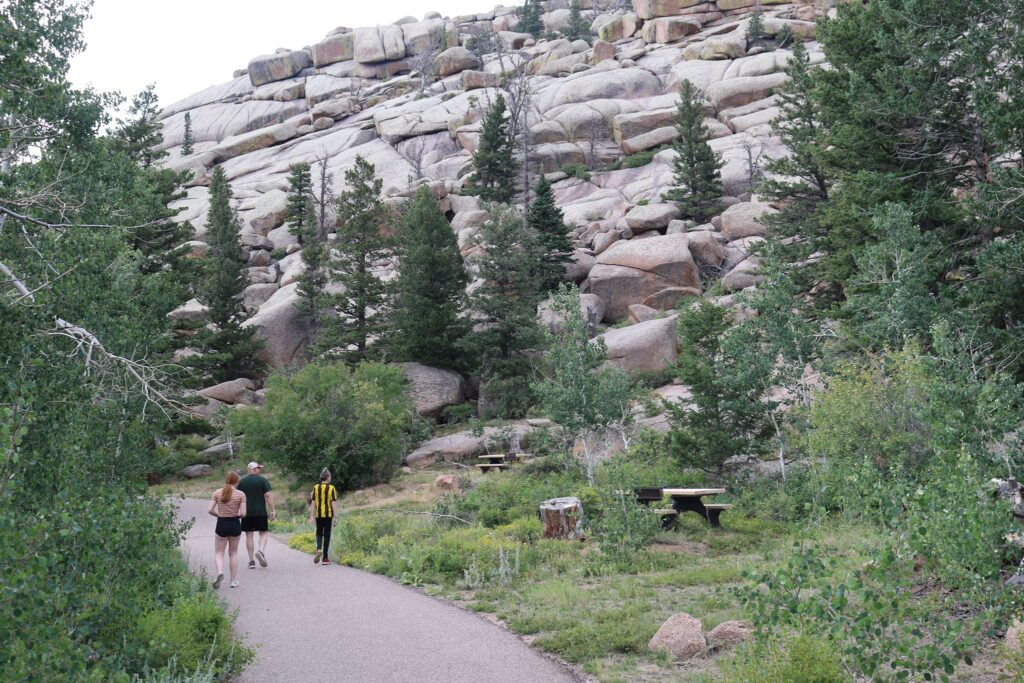
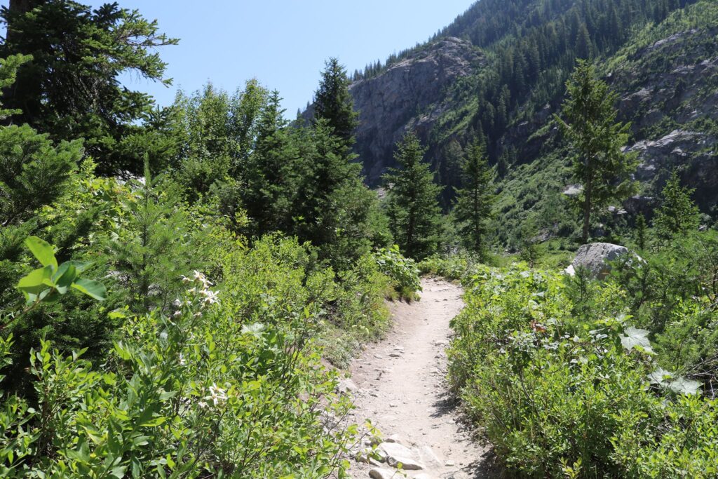
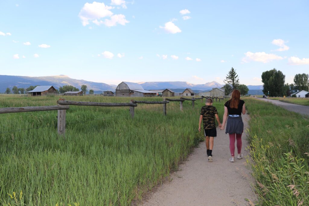
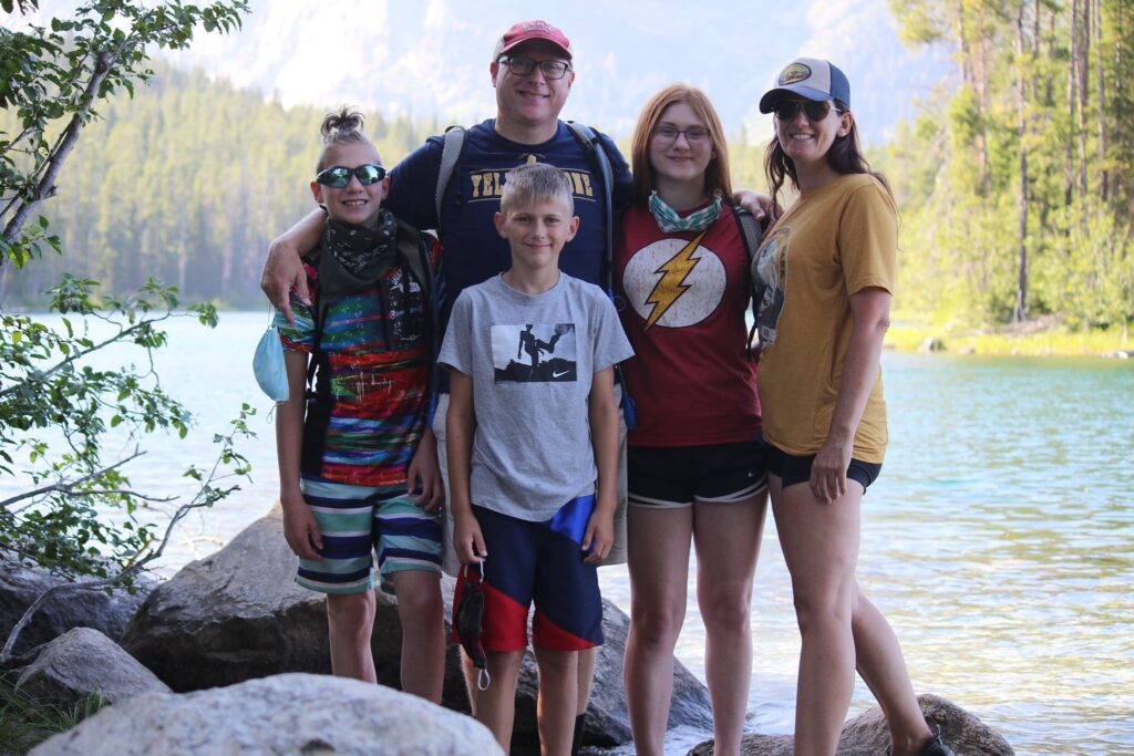
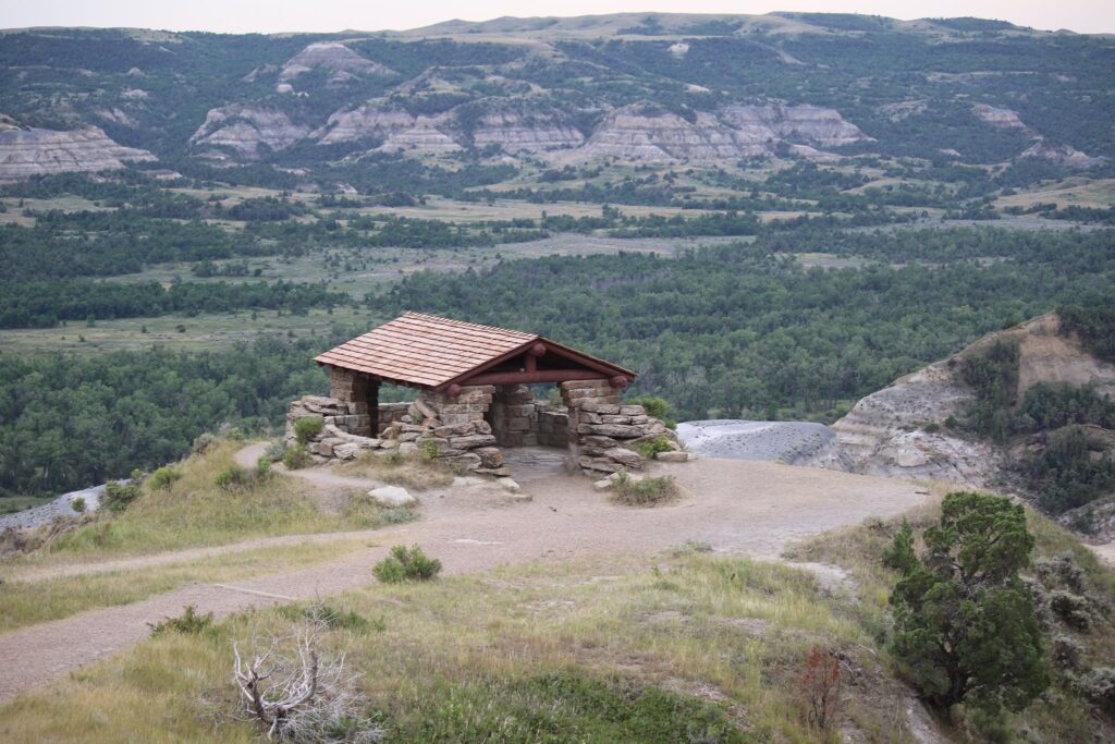
After my solitary walk, it was time to get my family up so they could see it too. We started at the main entrance off Gardener Road. Here there was a nice overlook of the lake and some trails through the woods. There were also restrooms. The Bluff trail with views of the chimney bluffs has been closed in recent years due to erosion and its impact on safety. So after exploring here awhile we left to access the shoreline from the other parking area off of East Bay Road.
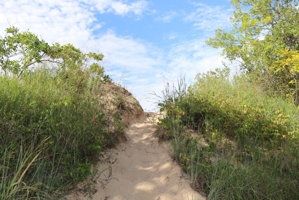
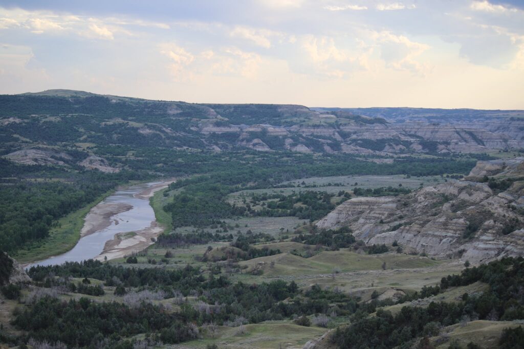
Views of Lake Ontario and some of the nature trails in the park.
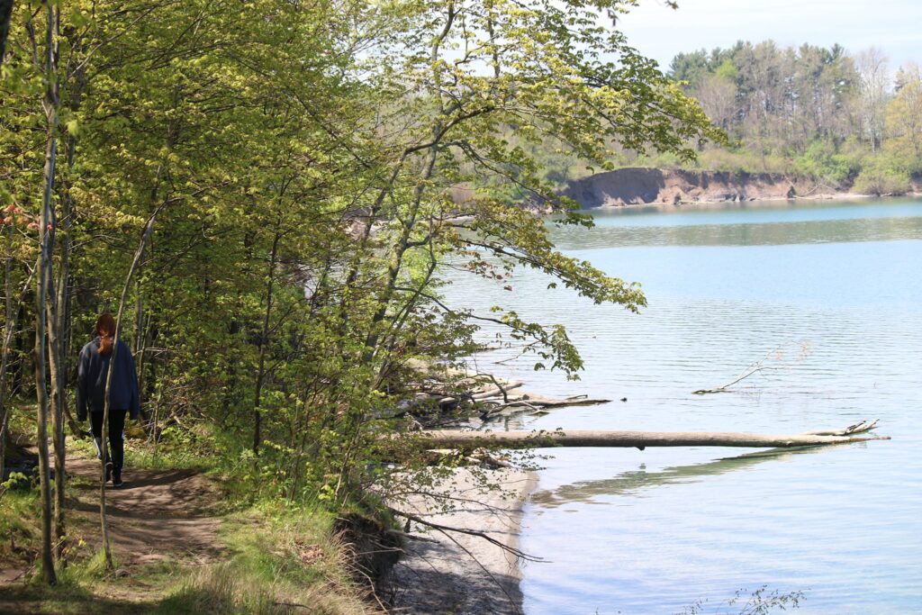
Back along the shore, we enjoyed a picnic lunch and strolls along the water’s edge.
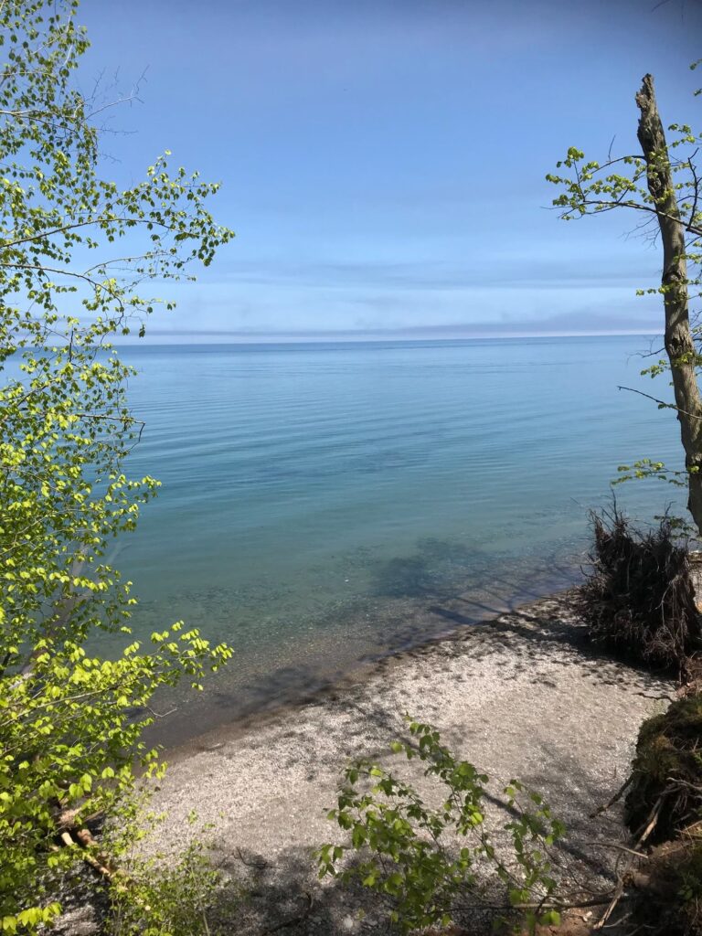
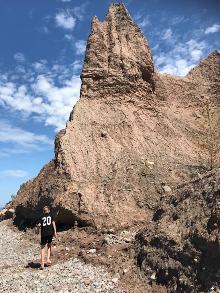
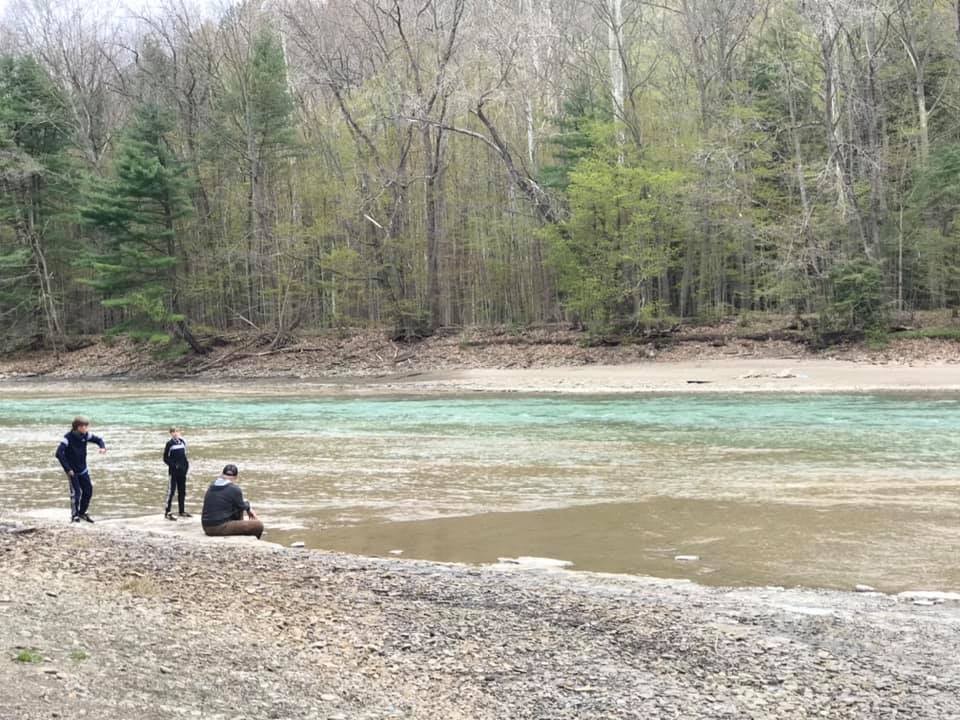
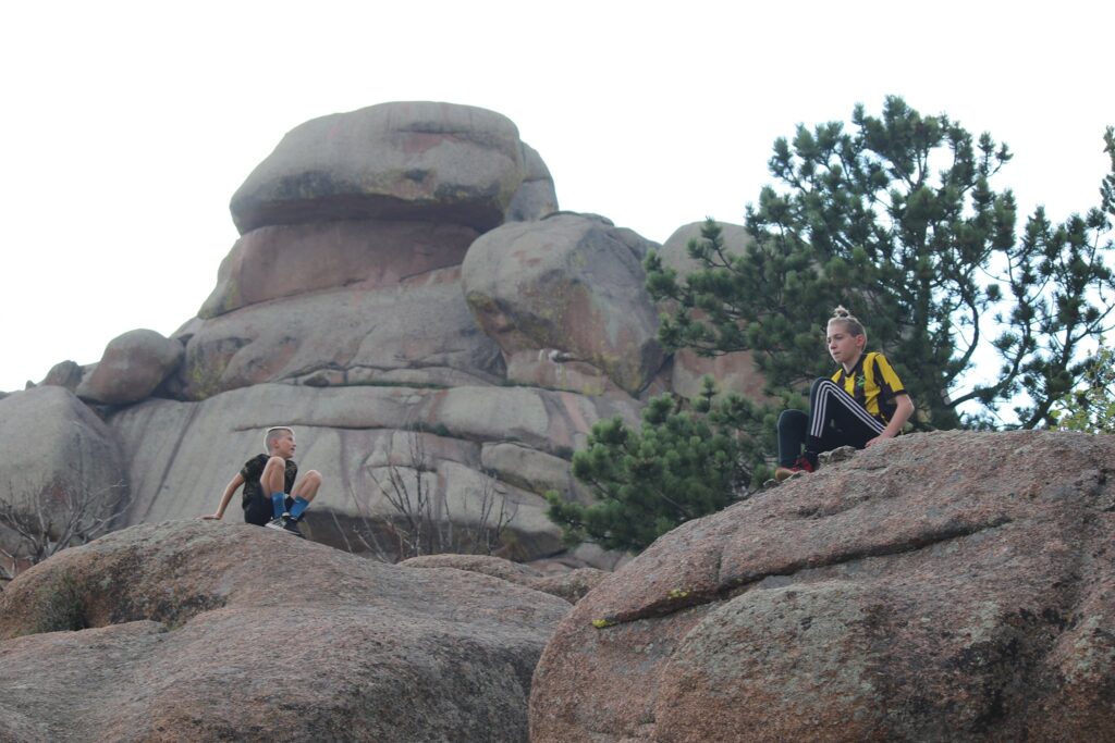
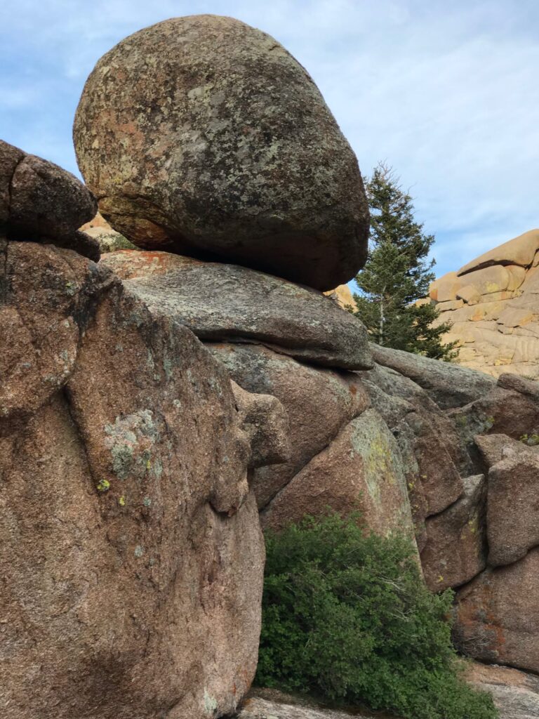
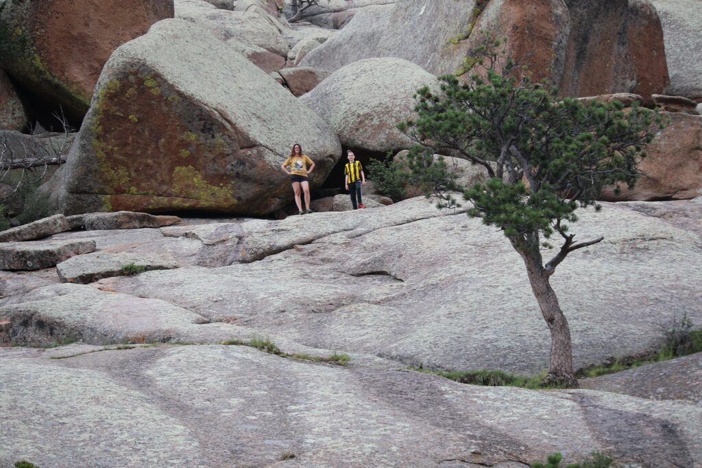
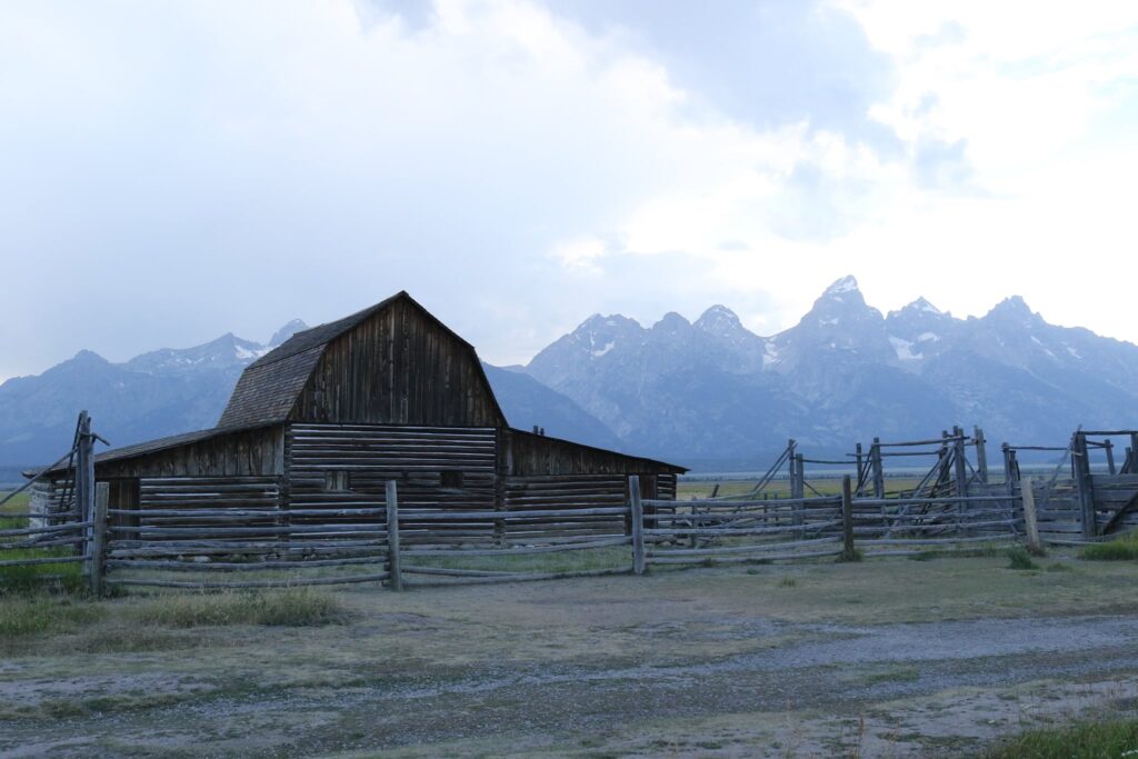
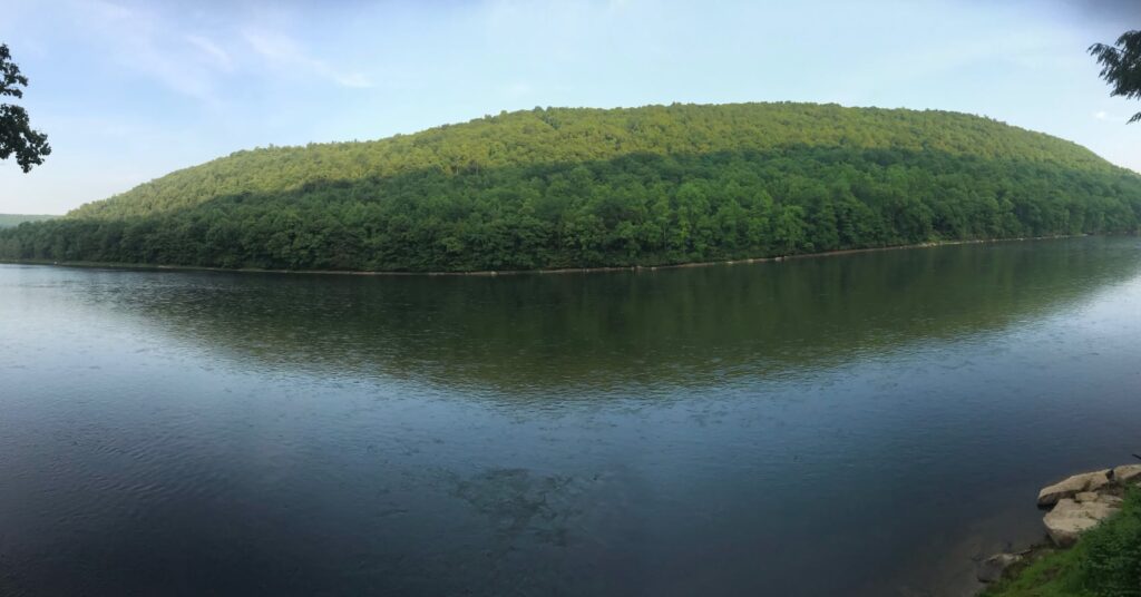
The chimney bluffs were much less ominous in full sunlight. It was a gorgeous May day with a bright blue sky and wispy clouds. The shore was a peaceful place to sit and read a book. The rocks were smooth and varied in color. They were perfect for building or skipping or collecting. We stayed all day.
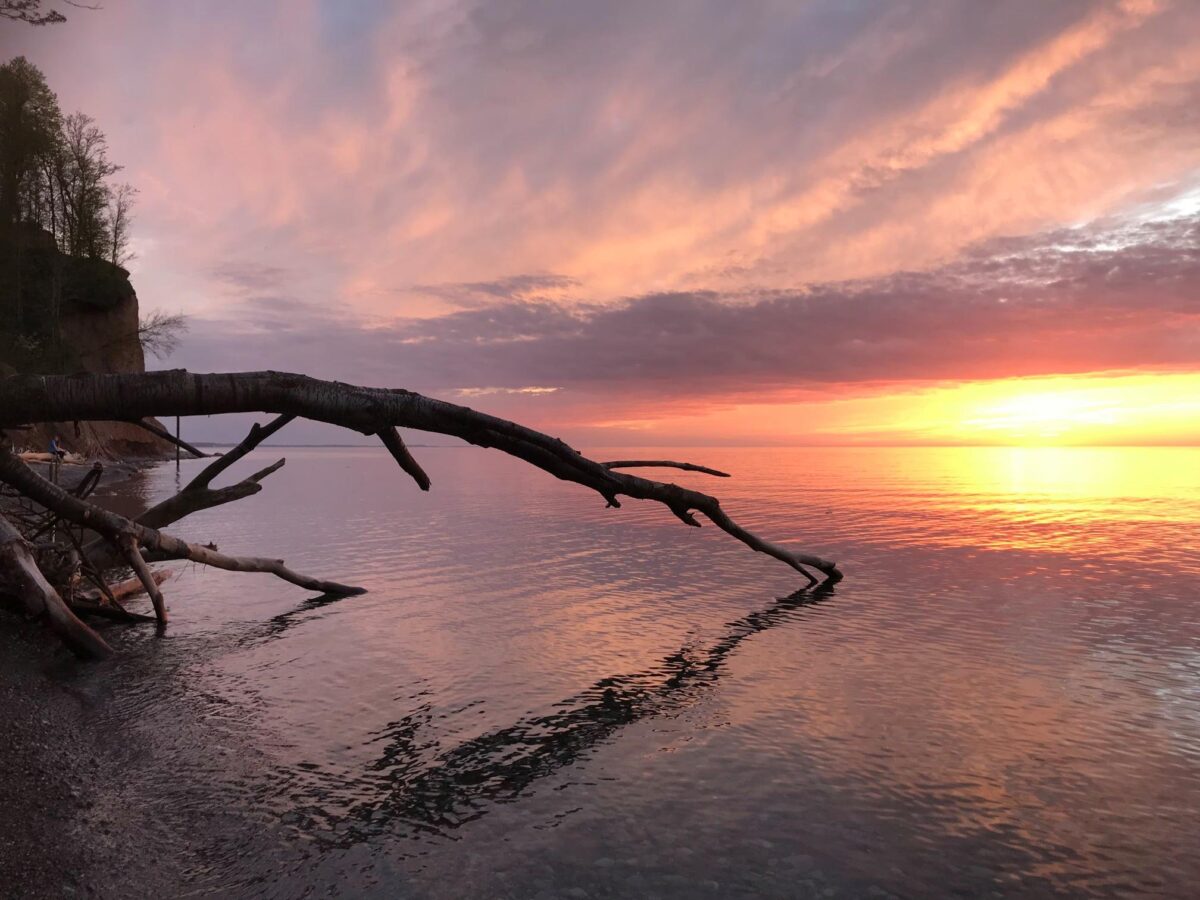
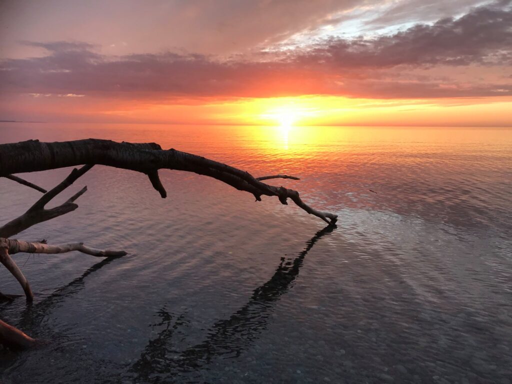
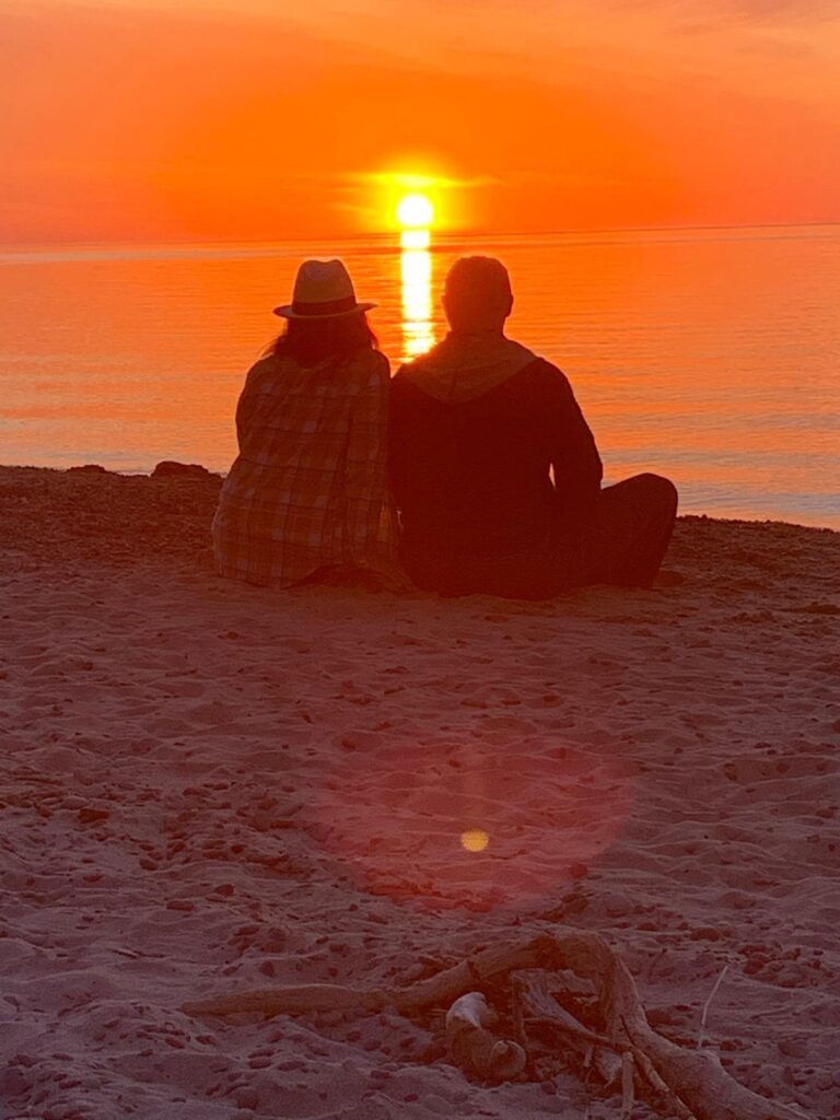
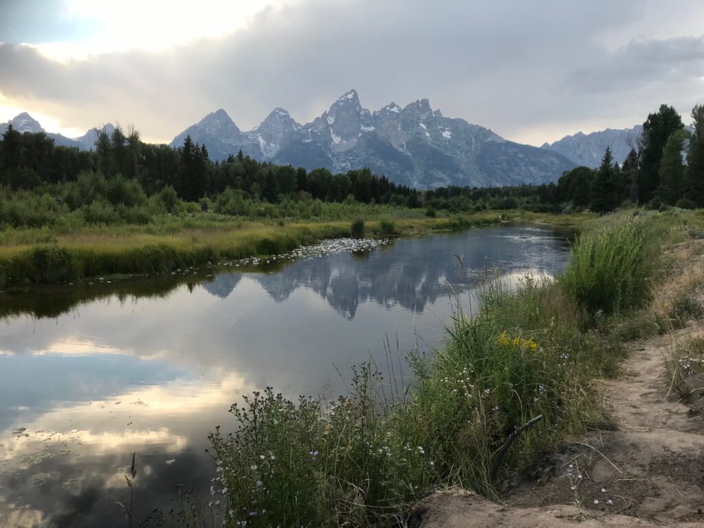
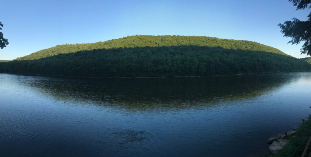
I promised to show you all facets of this park’s personality and the grand finale is definitely revealed at sunset. I know there are plenty of great places to catch a Lake Ontario sunset but this was the perfect icing on a perfect day. I hope you are able to take the time to enjoy this park as throughly as we did.
I just received my signed copy of the book Waterfalls of Pennsylvania by Jim Cheney. It is a beautiful compilation of his travels to more than 180 waterfalls in his home state. If you love chasing waterfalls and are traveling through Pennsylvania, I highly recommend you pick up this book. Not only does it have beautiful pictures, but it also contains GPS coordinates, relative websites, waterfall stats, trail distances, and other relavent tips in a consistent and concise manner. You can find a link to purchase this book and follow Jim on his adventures through his popular travel blog and website Uncovering PA.
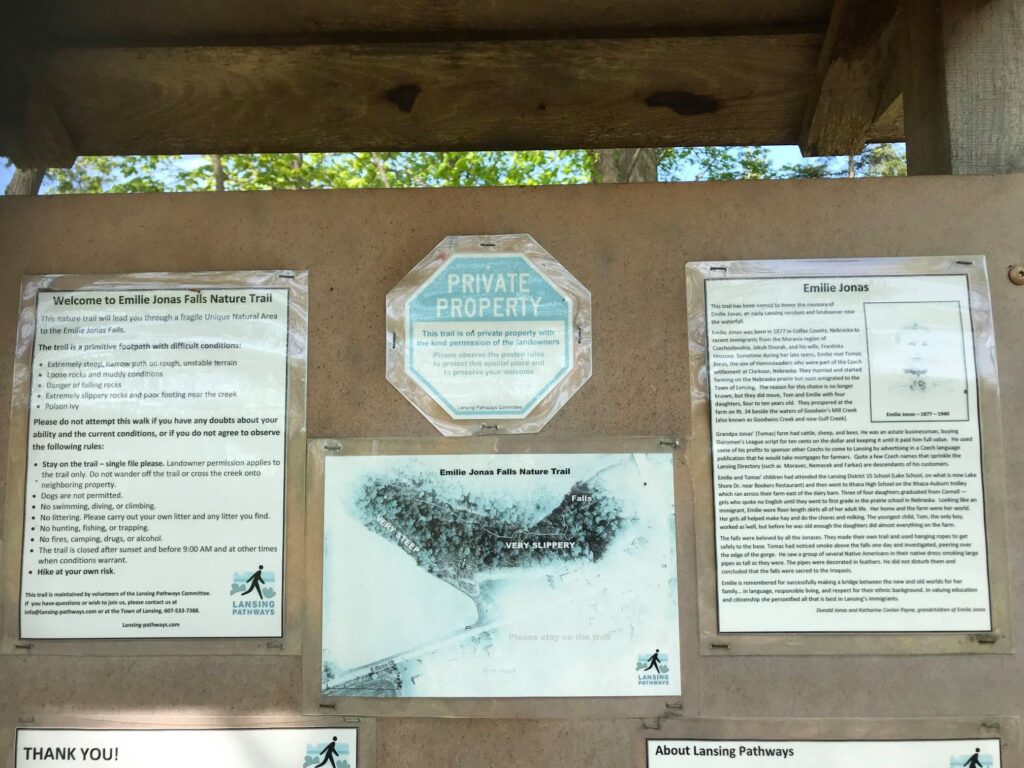
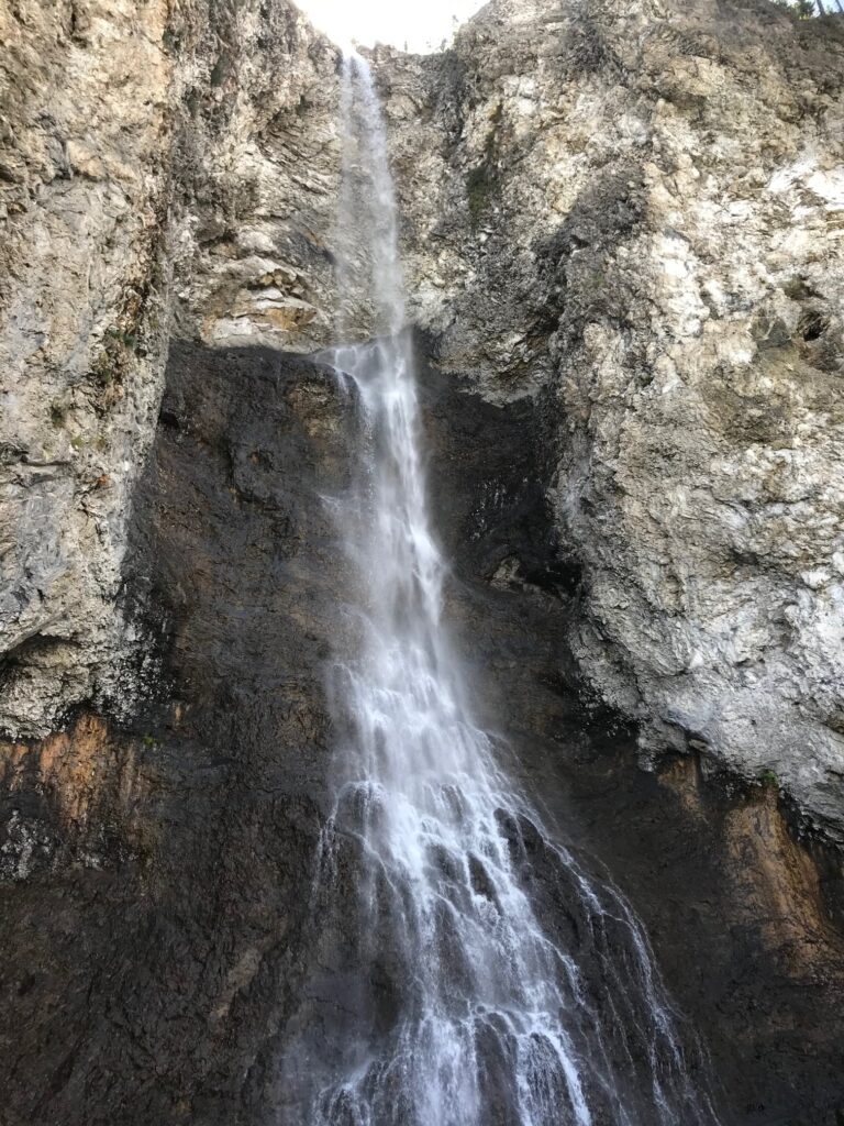
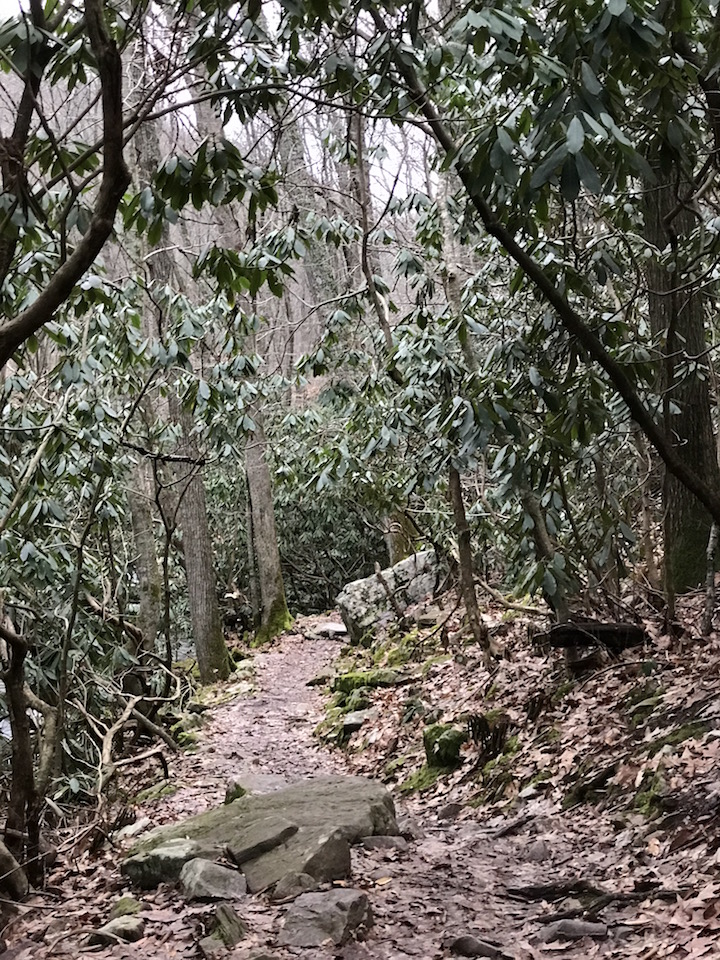
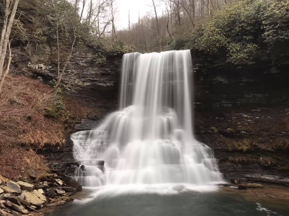
So after looking over his book and reflecting on my own experiences chasing waterfalls, I decided to write about a beautiful fall I visited this past summer in Lansing, New York. Lansing is located on the southeastern side of Cayuga Lake in the Finger Lakes region of New York State, not far from Ithaca. There is a very small parking area found off of Route 34, here. Though the trail and base of the waterfall are open to the public, it does pass through private land so be respectful of the landowners and their neighbors.
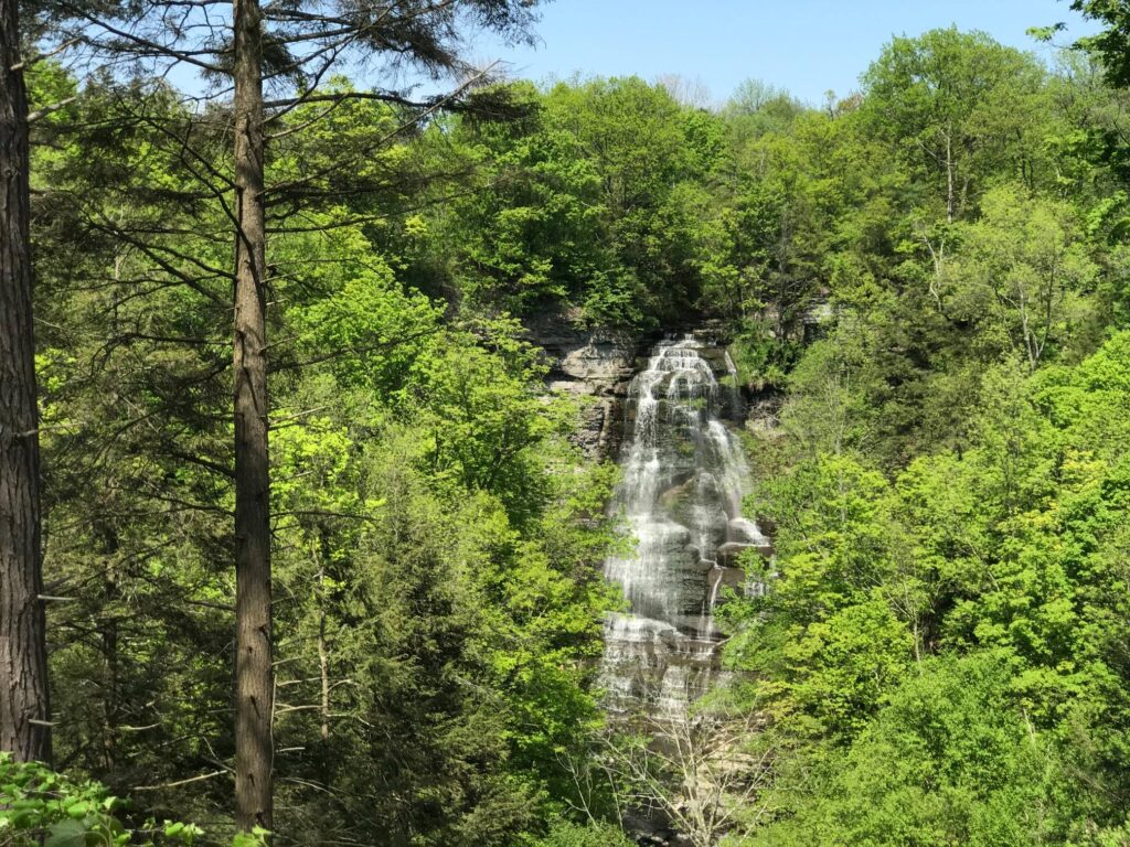
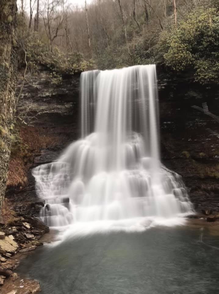
After a very short distance, a welcome kiosk highlights the trail ahead and gives some history surrounding the waterfall’s namesake. If you turn right from the welcome post you can view the waterfall from above and not have to attempt the steep descent to creek level.
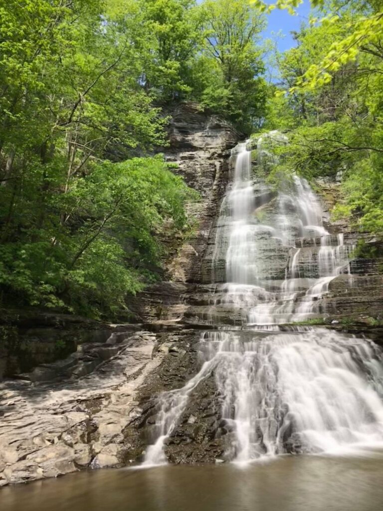
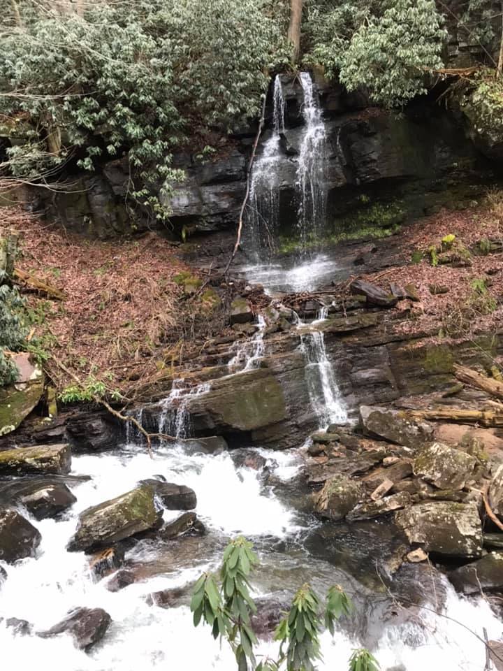
View of Emilie Jonas waterfall from above.
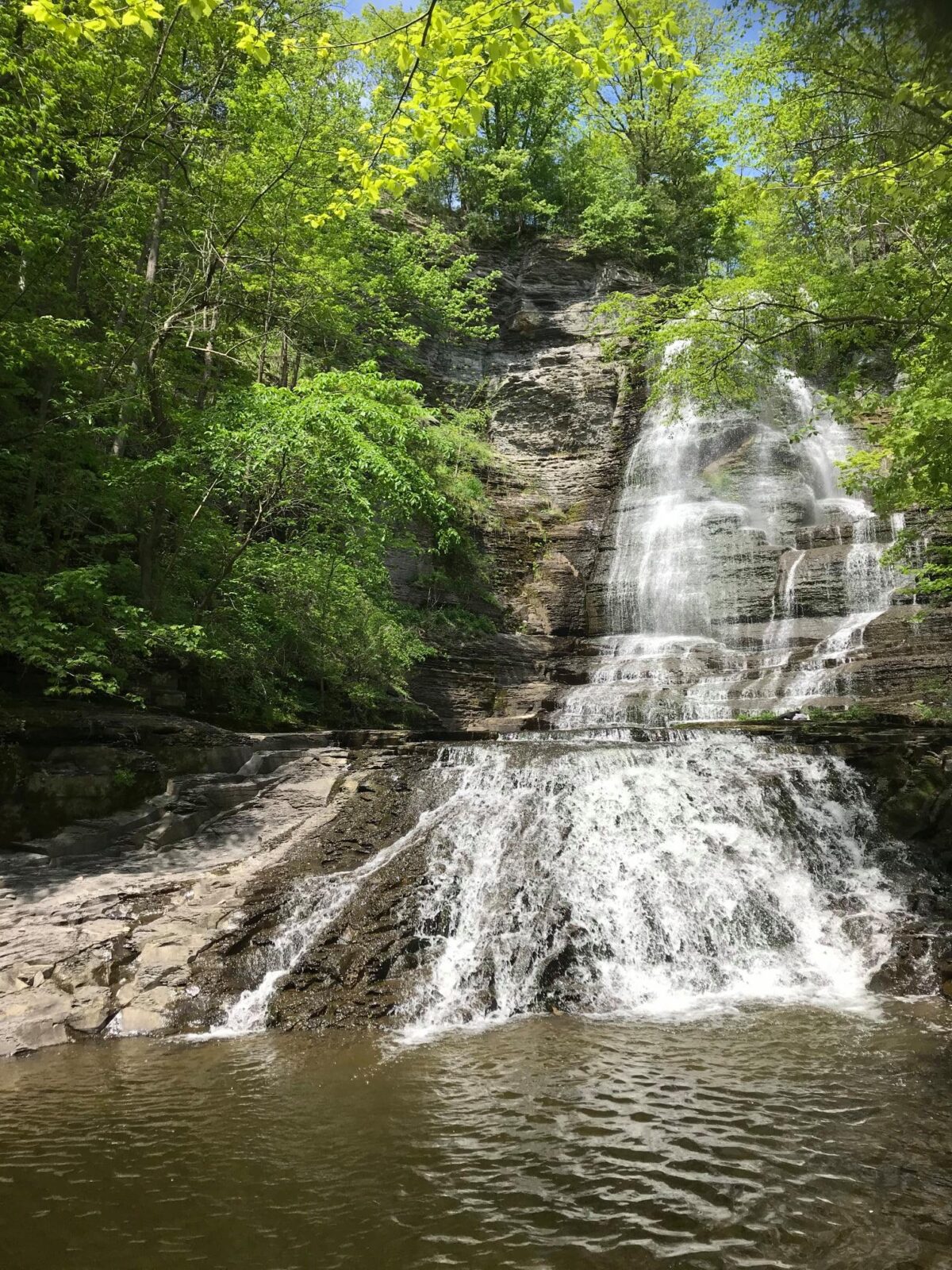
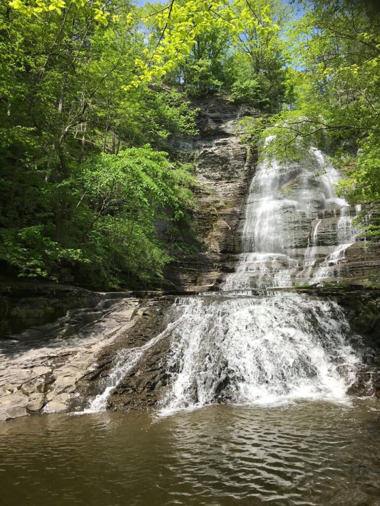
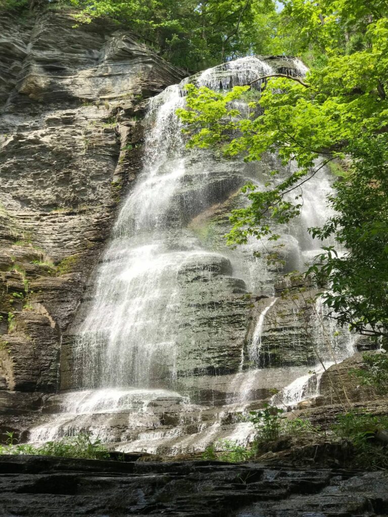
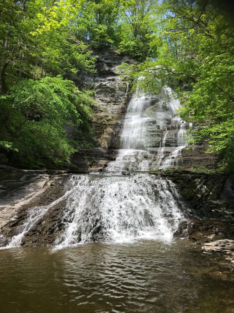
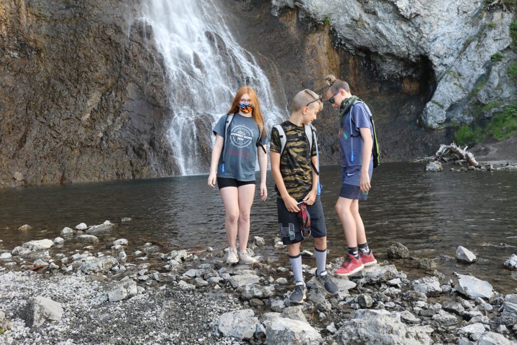
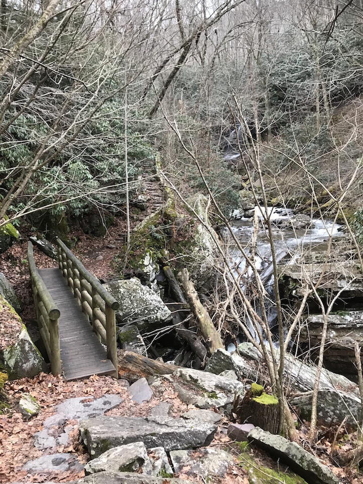
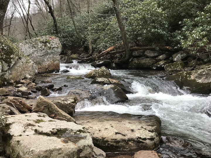
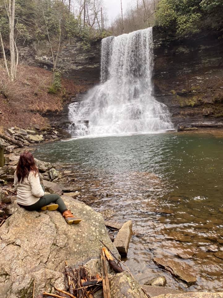
Turning left from the welcome kiosk takes you down a steep and very narrow footpath, first turning away from the falls and then reaching Gulf Creek before winding back up toward the falls. After a very short walk, the waterfall appears in front of you and it is spectacular!
We enjoyed relaxing briefly at the base of the falls before heading back up. I have always enjoyed the feeling of being near moving water whether it be the ocean, a great lake, or a moving stream. There is research that the negative ions given off at sources of colliding water can reduce the symptoms of depression in some people. Perhaps that is true, so I will continue to chase waterfalls, not for risk, but for the calming presence that they bring.
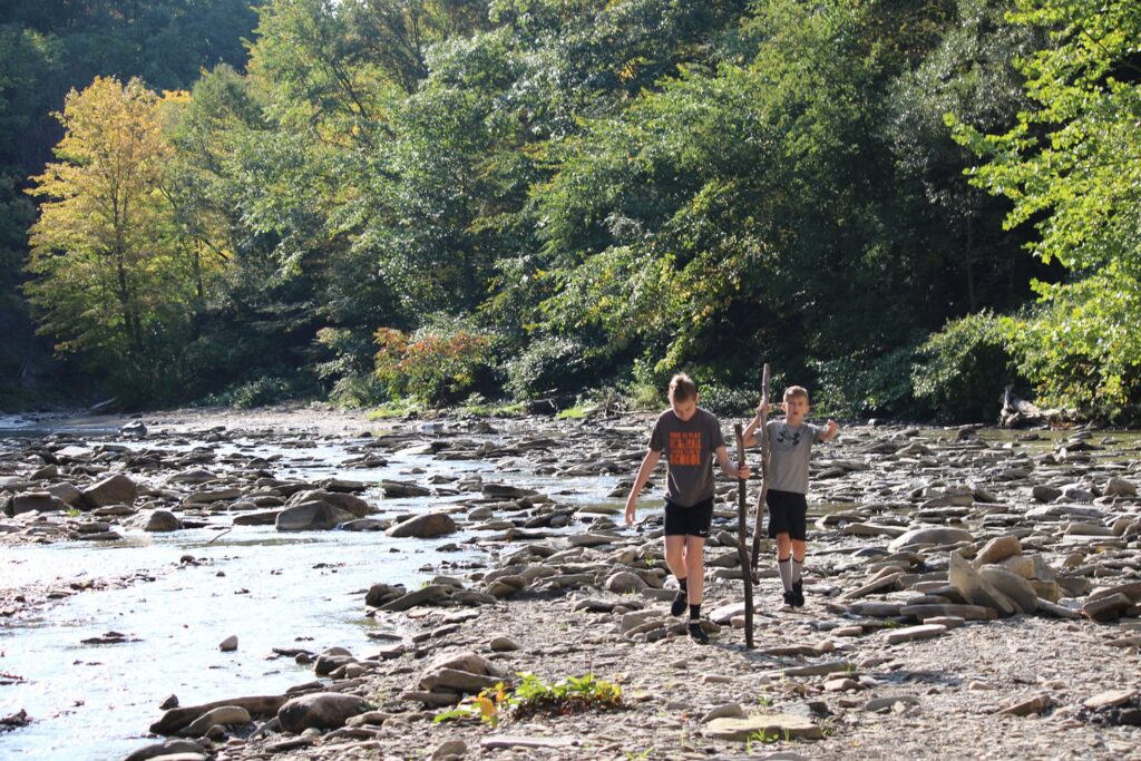
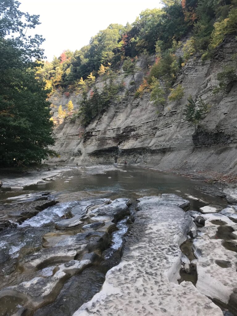
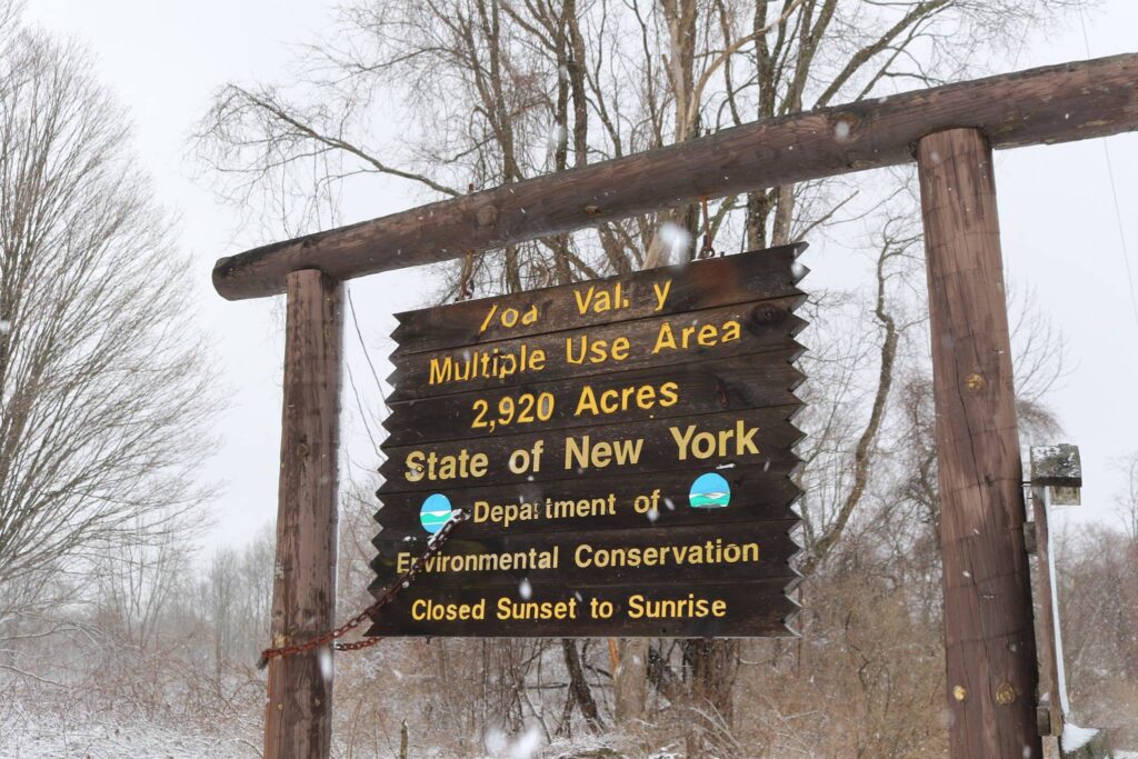
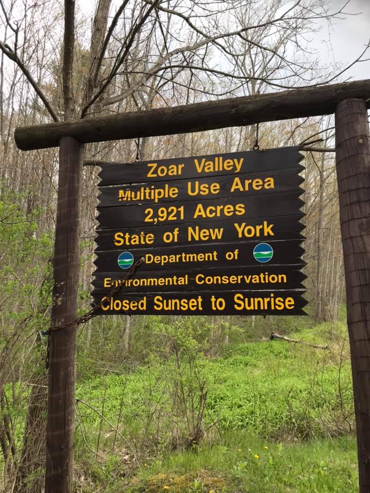
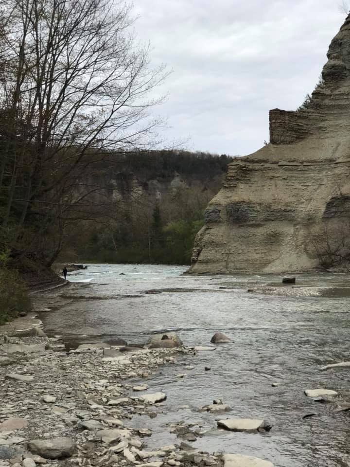
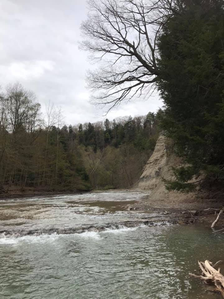
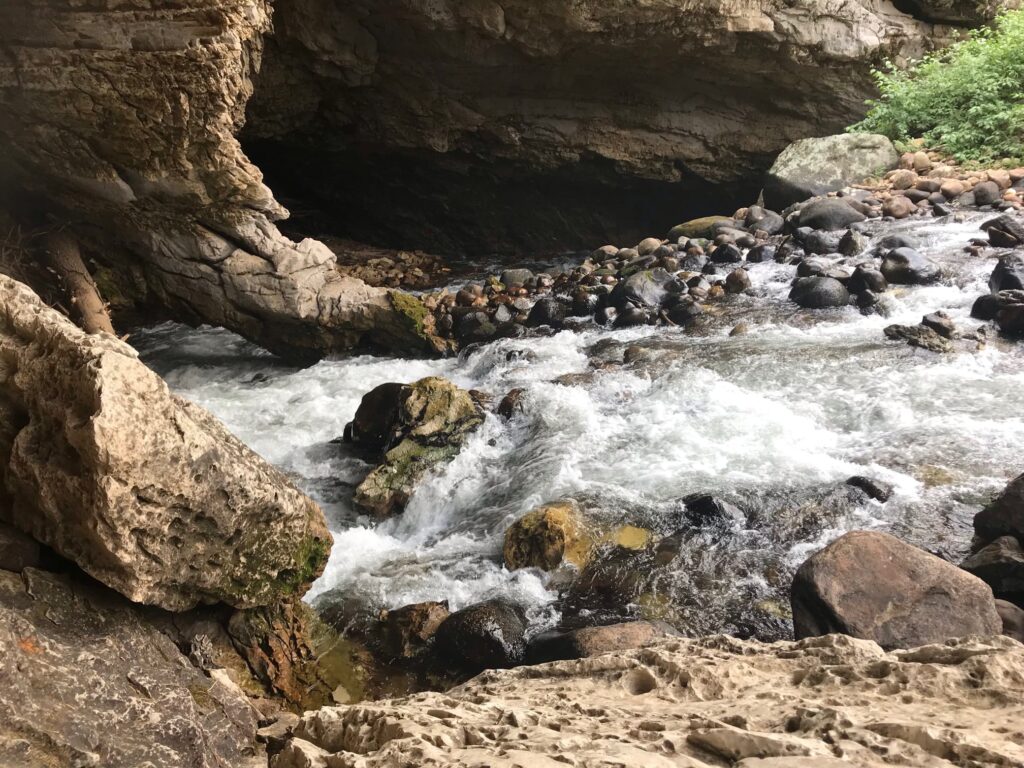
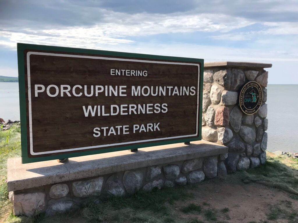
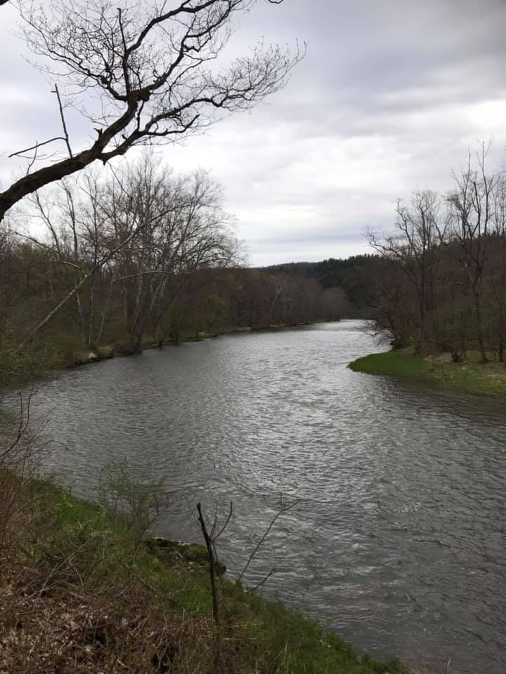
This is a gem just under an hour away from my home. Zoar Valley is part of a 3000-acre multiple use area managed by the NYS Department of Environmental Conservation. It is known for its deep gorge formed by the Cattaraugus Creek as it flows into Gowanda and eventually, Lake Erie.
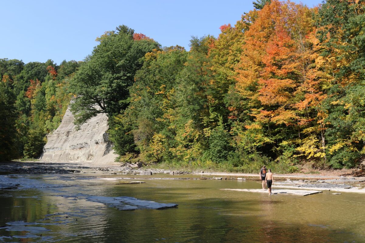
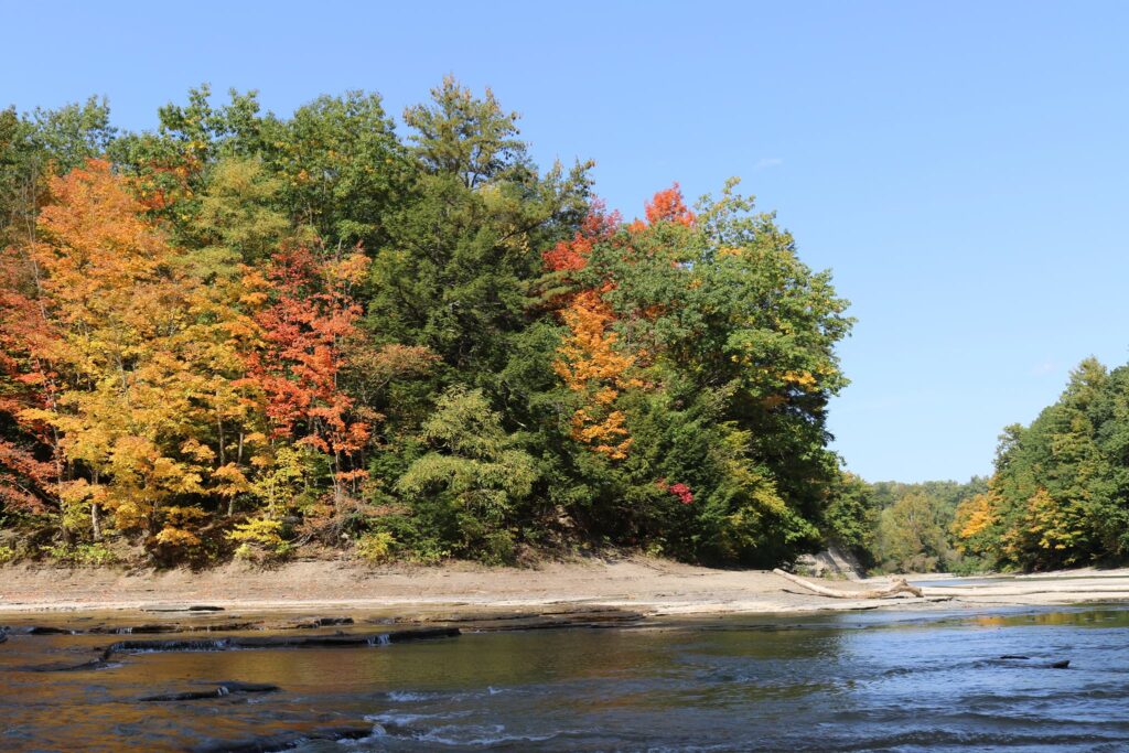
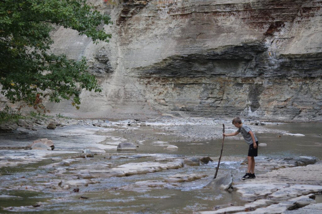
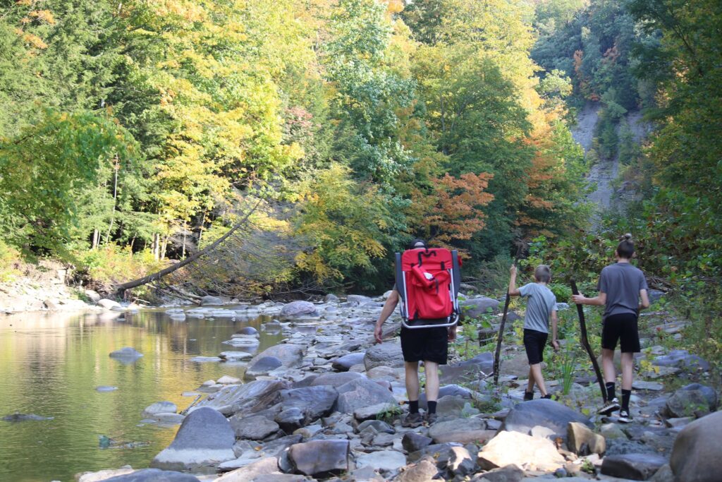
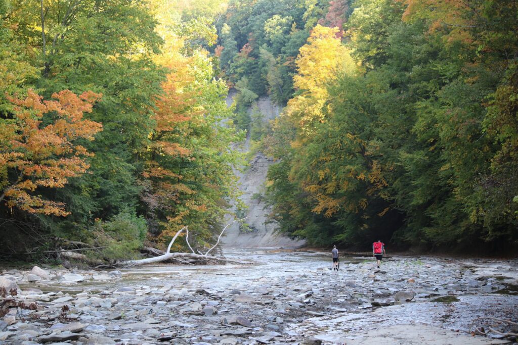
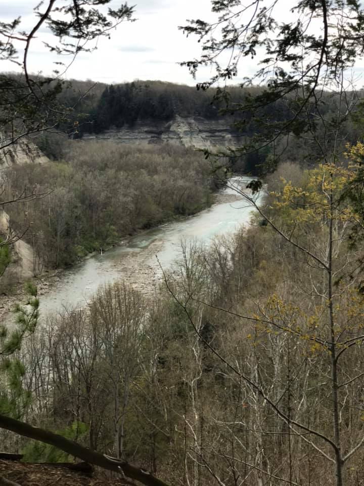
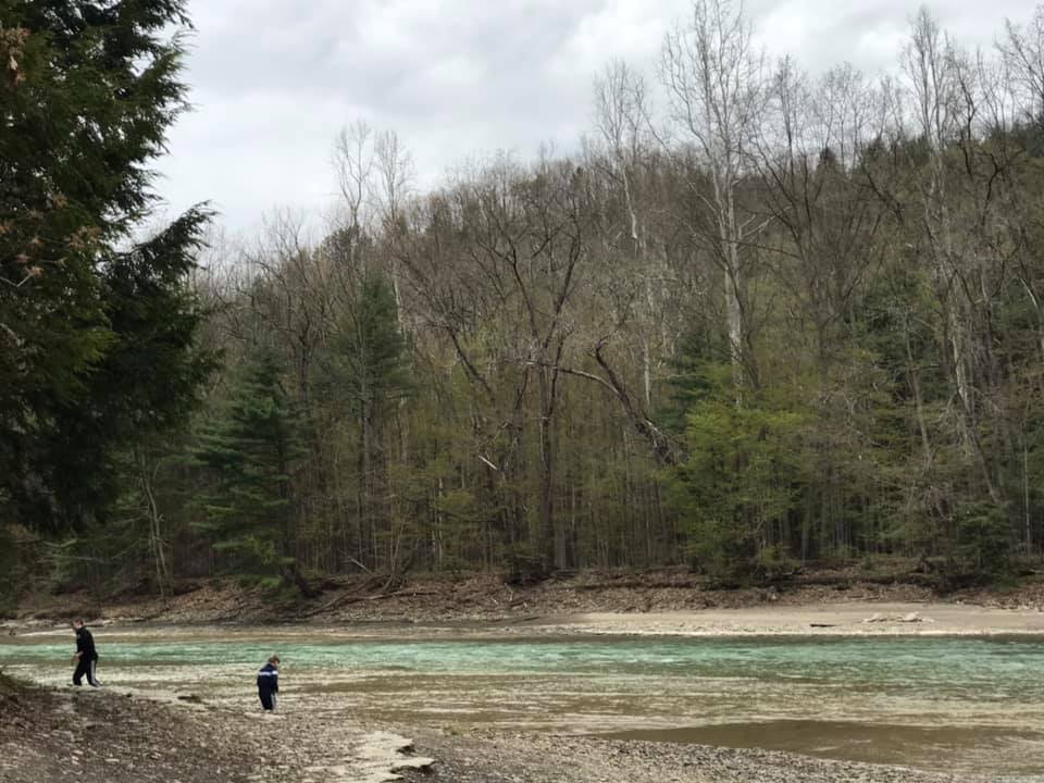
In this post, I will share with you our visits to three different points in Zoar Valley over three different seasons. This past October, we took advantage of an 80-degree day to hike the South Branch of the Cattaraugus Creek to where it meets the main stream. To access this hike, park at the Forty Road Parking area. You will walk in the creek bed itself, so prepare to get wet, but that is half the fun!
The access to the creek from the Forty Road parking lot is easy and as long as water levels aren’t too high, this is the safest route because you enter at creek level and can view the sweeping gorge walls safely from below.
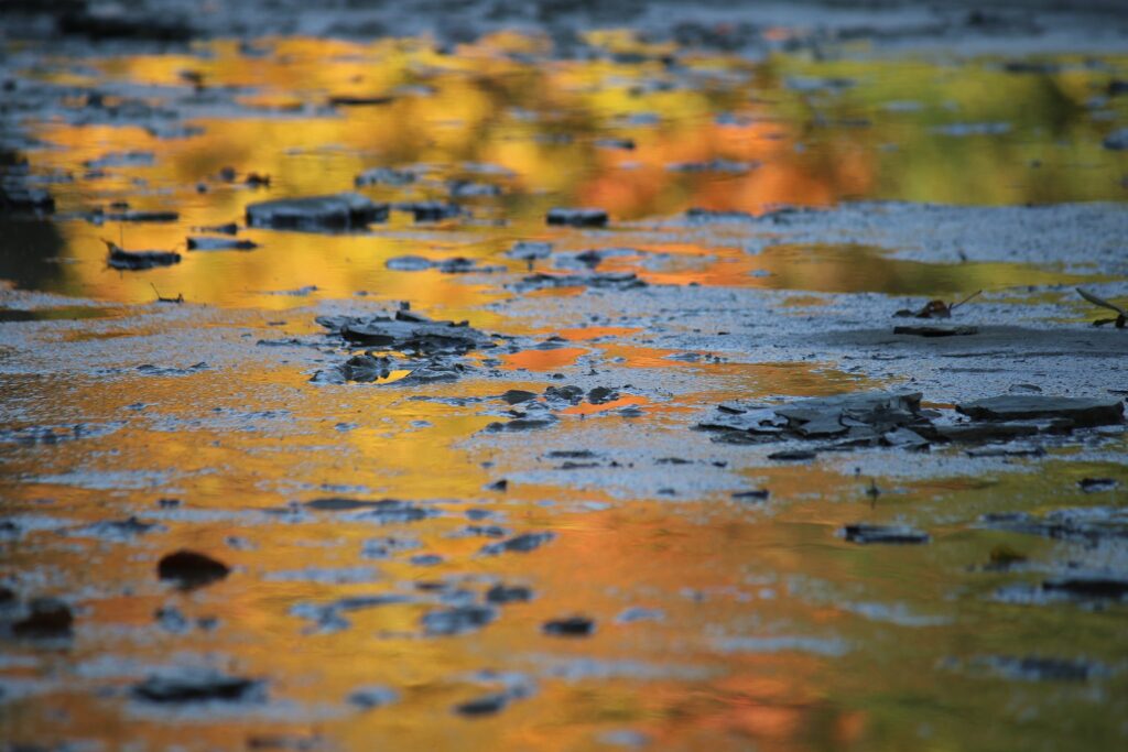
I LOVE the grooved paths years of water have carved through the gorge. I think I see some of those scars in me…….wait, those aren’t my words. They actually are in the song Zoar Valley by the local band Uncle Ben’s Remedy. You should probably check them out.
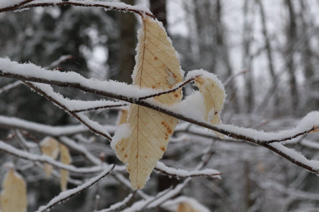
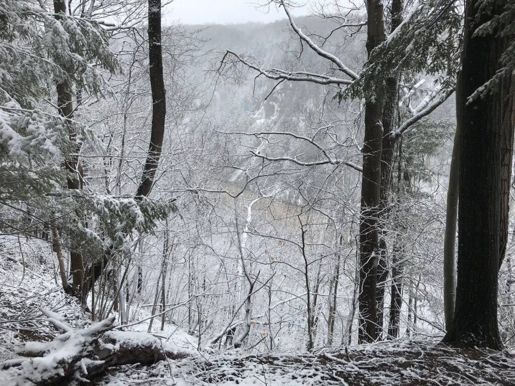
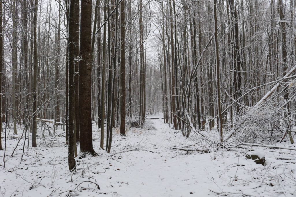
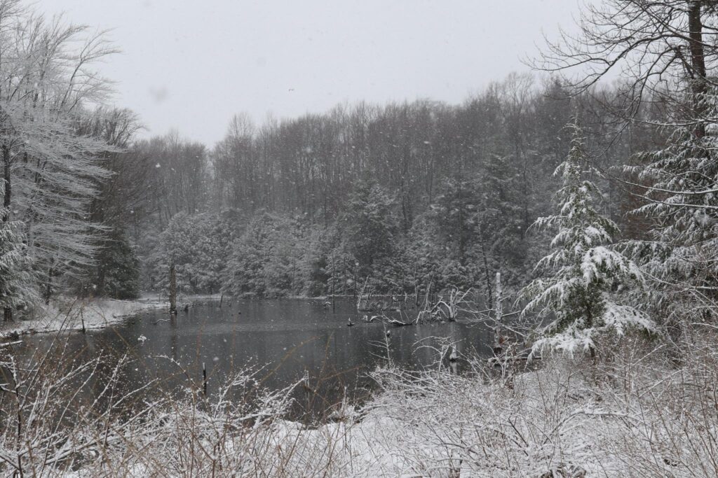
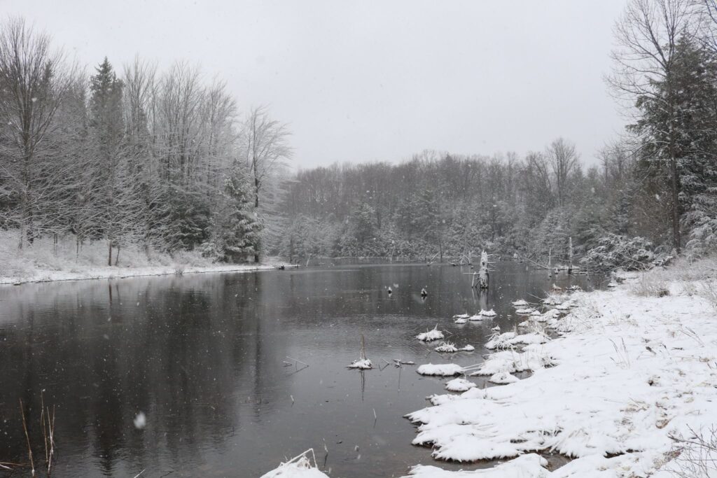
The colors will fade and winter will return, but Zoar Valley is beautiful in winter too. We explored the northernmost point from the Ross parking area, last winter. There is no access into the gorge from here, but you can glimpse the Cattaraugus below at one point along the trail. This is a nice walk through Beech and Hemlock forest that wraps around a small pond as well.
Cattaraugus Creek through the trees.
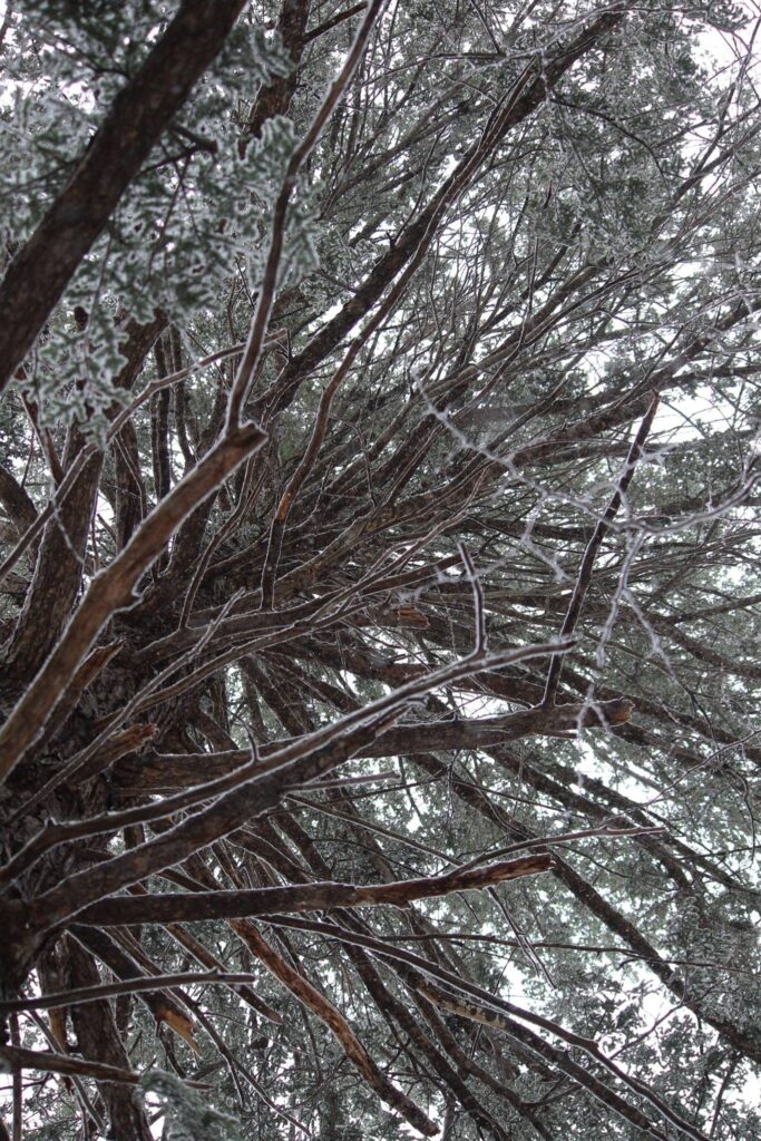
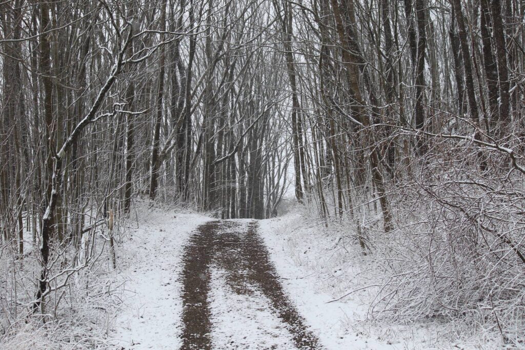
This was a late-season hike with that pretty stick-to-the-branches snow, but it was still quite cold. At one point, our middle child told us he could not possibly go on due to his cold, wet feet. I looked down to see him wearing sneakers, not the boots that were suggested. Dramatics commenced, tears ensued, I am hopeful that he learned a lesson about preparedness. This memory brings a smile to my face either way, even though I am sure I didn’t find it funny at the time. I do remember trying to focus (both him and me) on the beauty of the woods around us.
Winter melts into spring, both literally and metaphorically. Nothing is certain, except the certainty that things change. Even when experiencing life at its worst, I try to remember and reflect upon impermanence. The winter ends and spring returns. Every. Single. Time.
We visited in the spring, just as our world was turning green again, it was Mother’s Day.
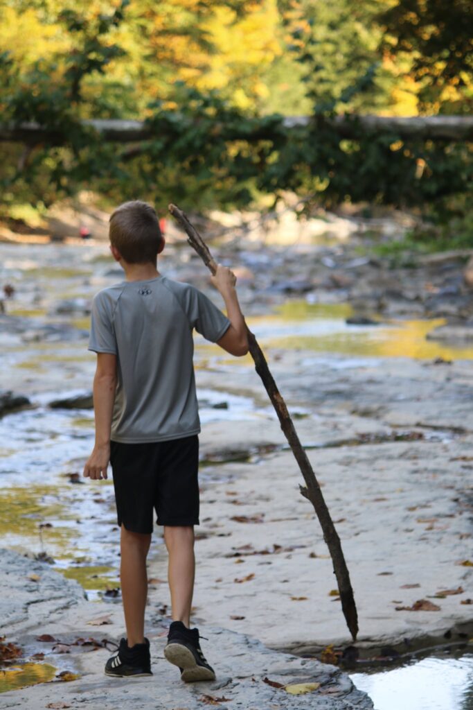
We parked at the end of Valentine Flats Road. After a short walk, the trail forks. Turning left takes you to the view pictured above. It is very steep and would be dangerous to take young children this way, but if you are careful and stay on the trail, it gives you a nice view looking up the gorge. The better trail, in my opinion, is to the right and after a short distance, you are at creek level. If you stay to the right until the end, the path will take you to the point once again where the south branch meets the main creek. We enjoyed all the signs of spring along the way.
There is always something to celebrate.
So whatever season you are in, find a place to enjoy and celebrate what brings you joy. That is what I intend to do, and I hope I can help you find the right place to do the same.
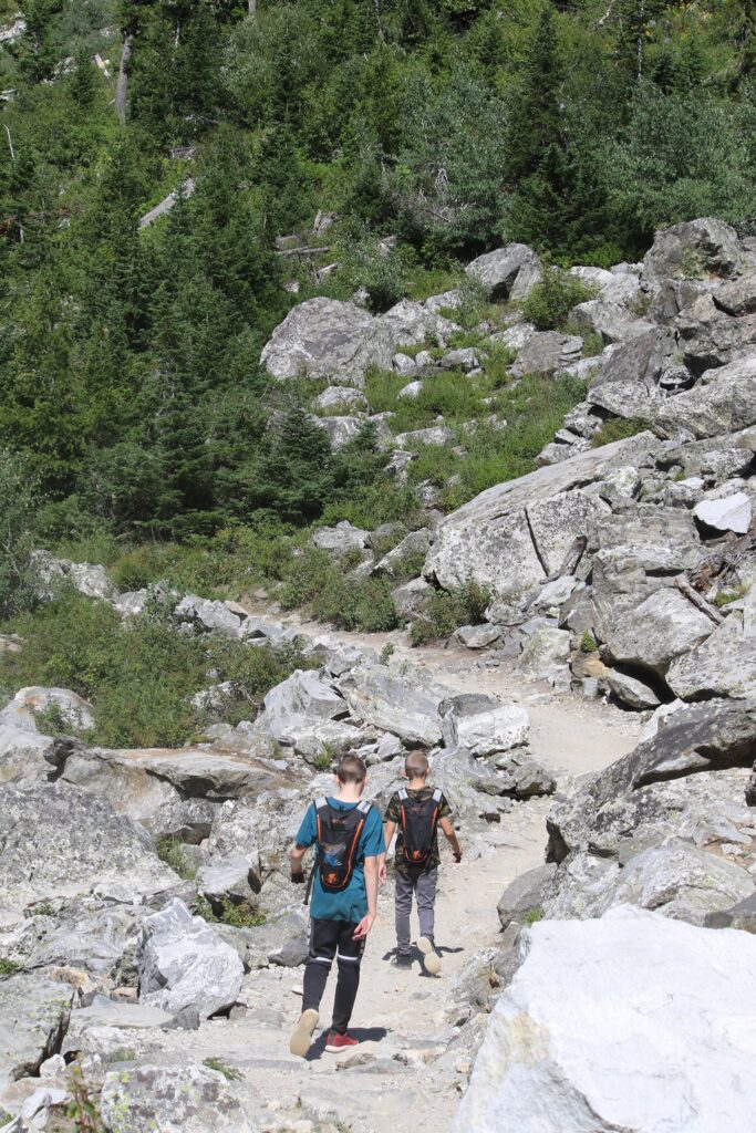
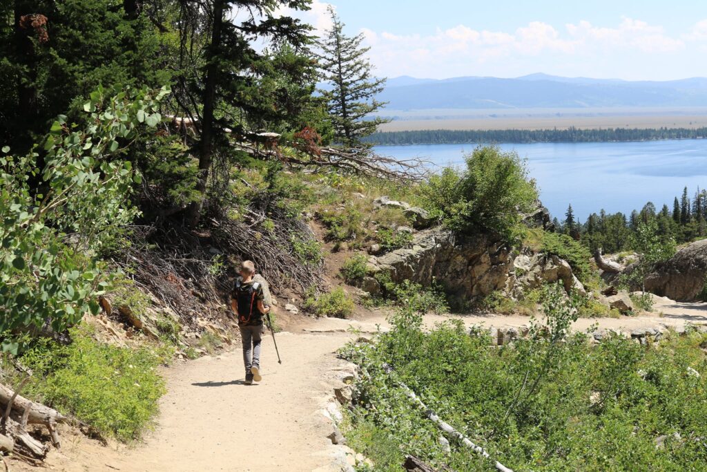
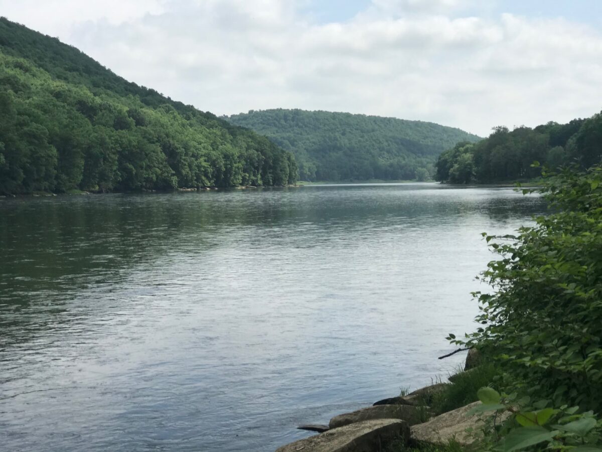
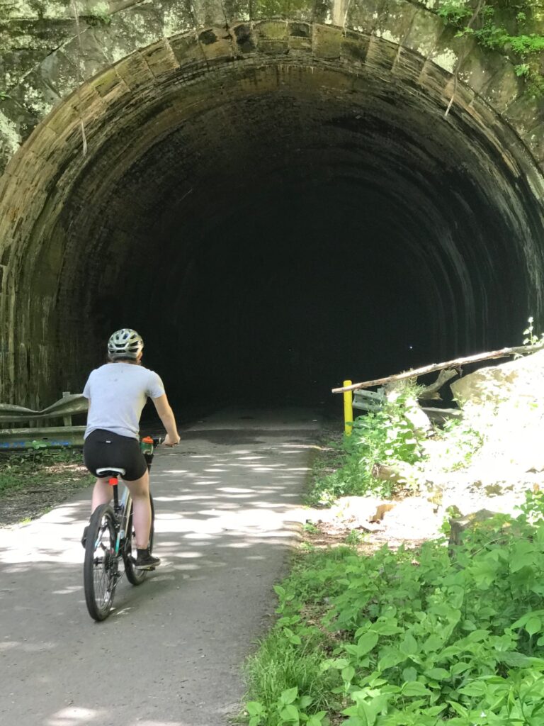
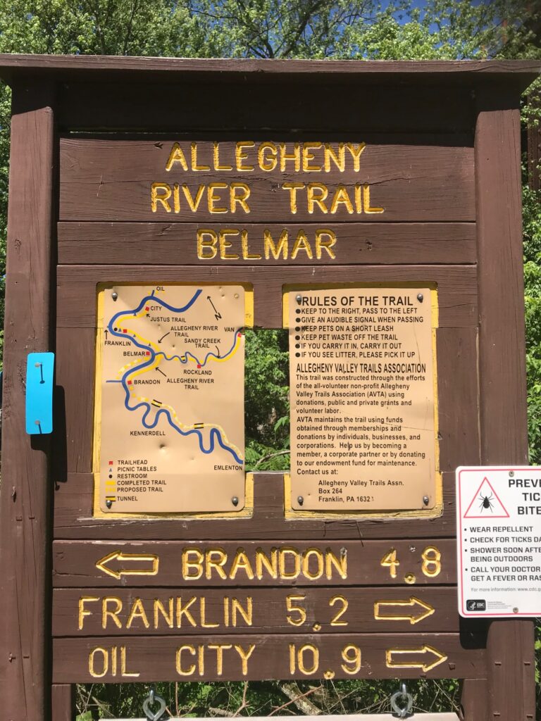
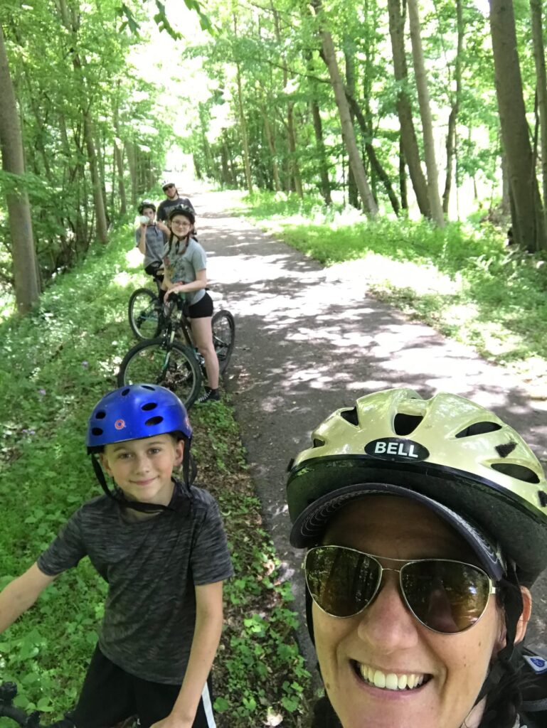
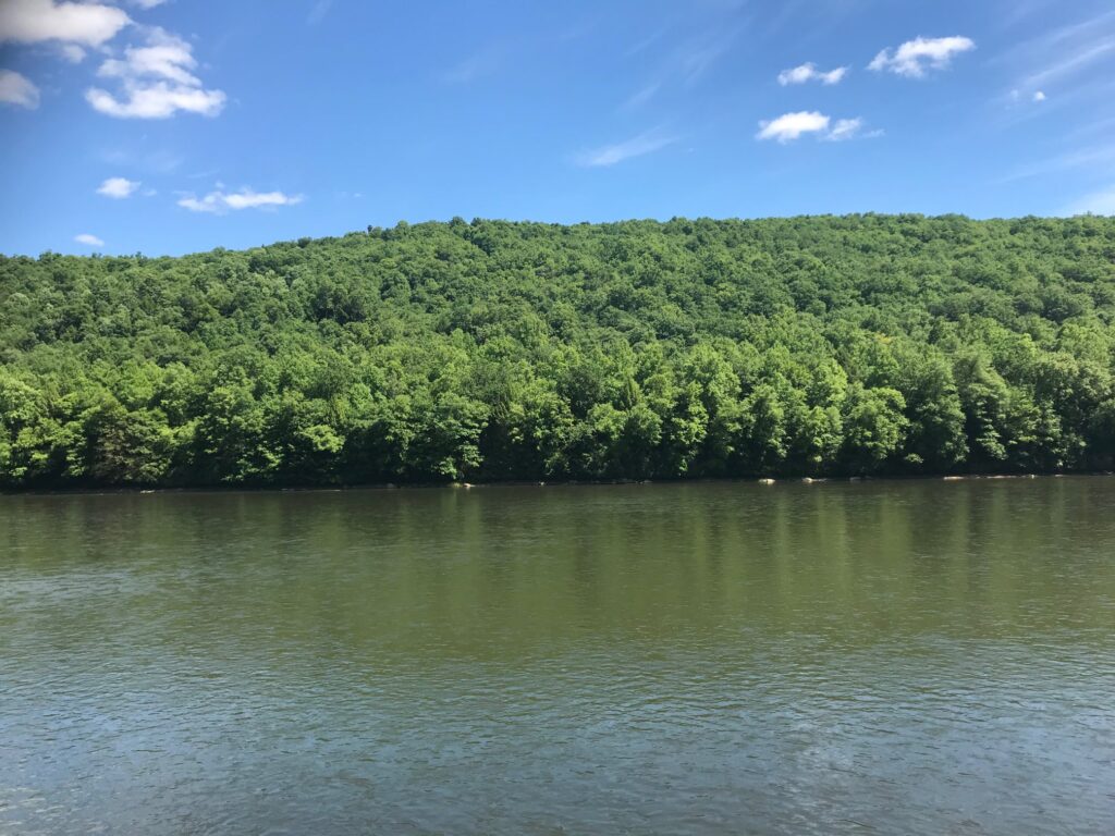
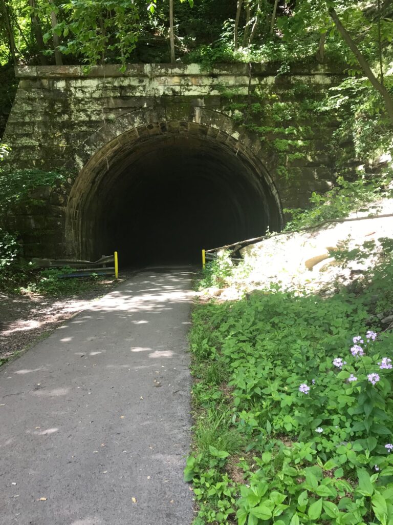
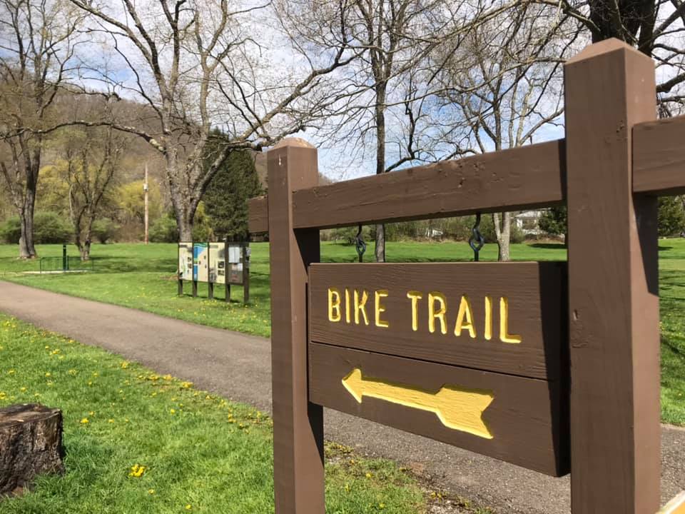
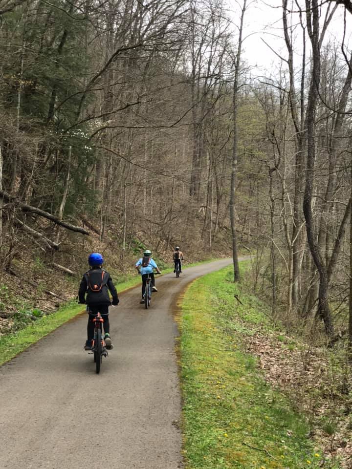
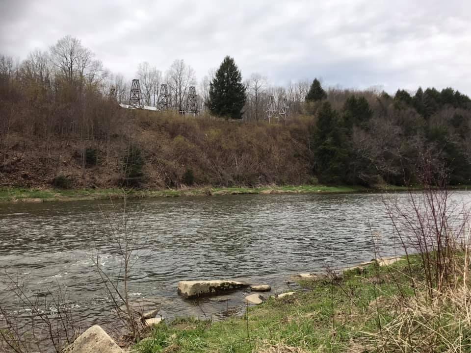
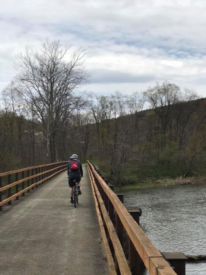
The favorite family bike path this summer was the Allegheny River Trail, traveling both north and south from Kennerdell, PA. We actually did sections of this trail over two days, but this is a great day trip for anyone living in the area or for whoever may just be passing through. The kids especially loved the tunnels which were long enough to require the use of headlamps while traveling through them.
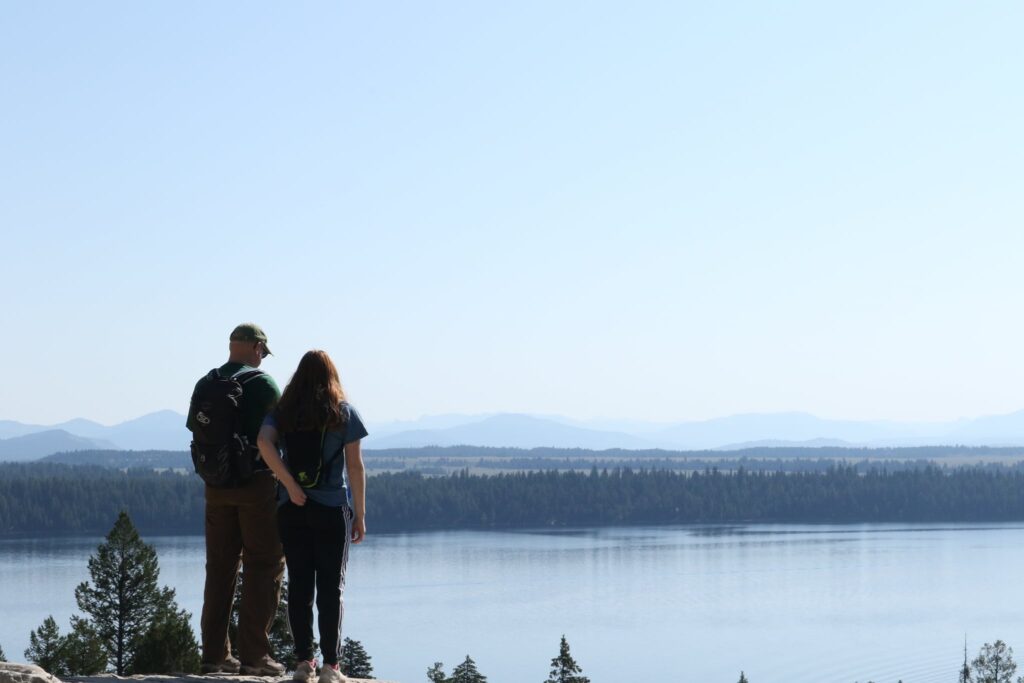
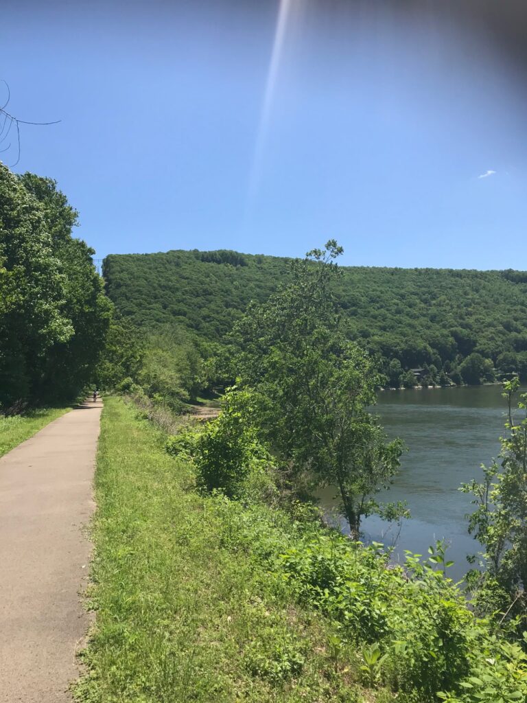
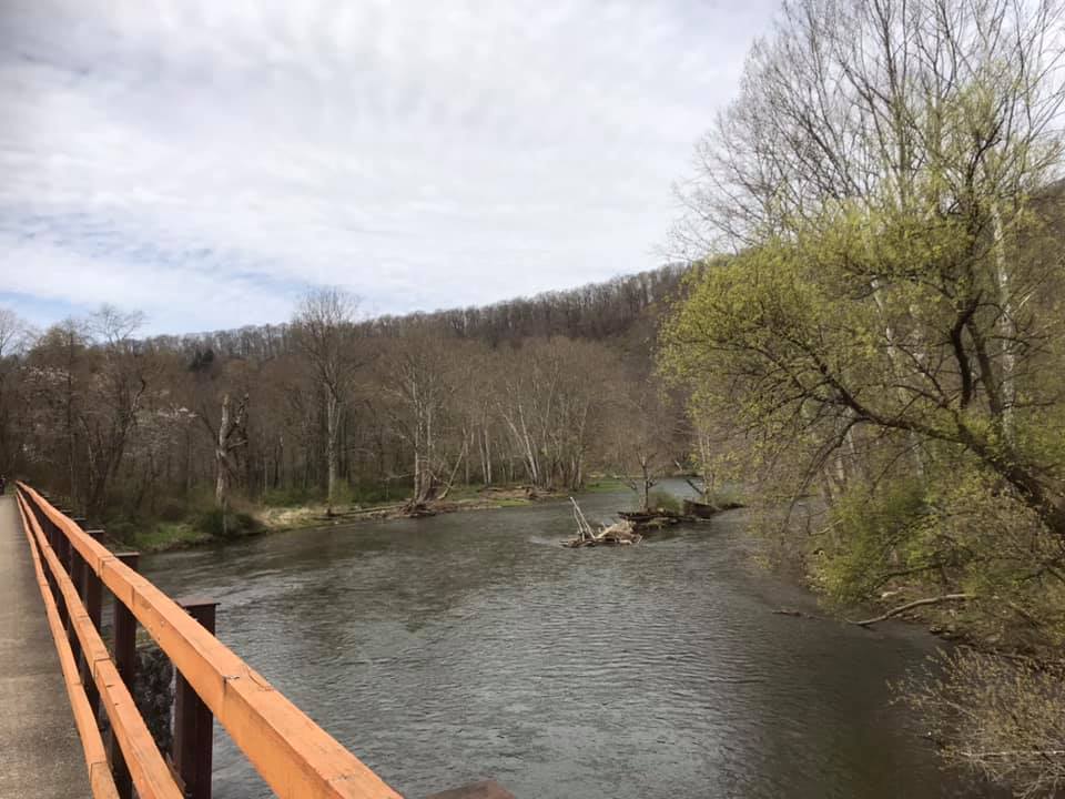
View of the Allegheny River, which the bike path follows, from the Kennerdell Overlook.
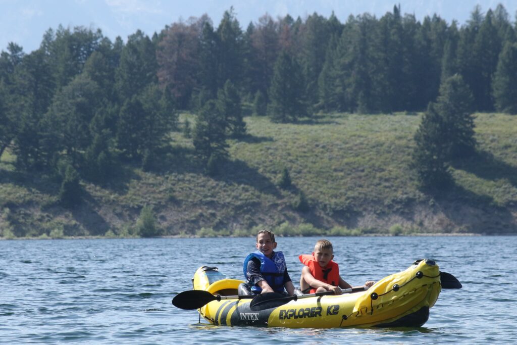
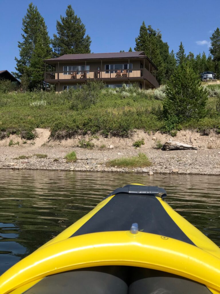
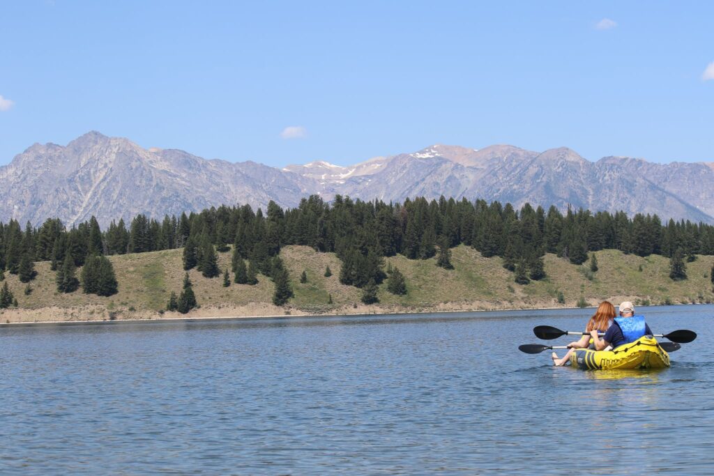
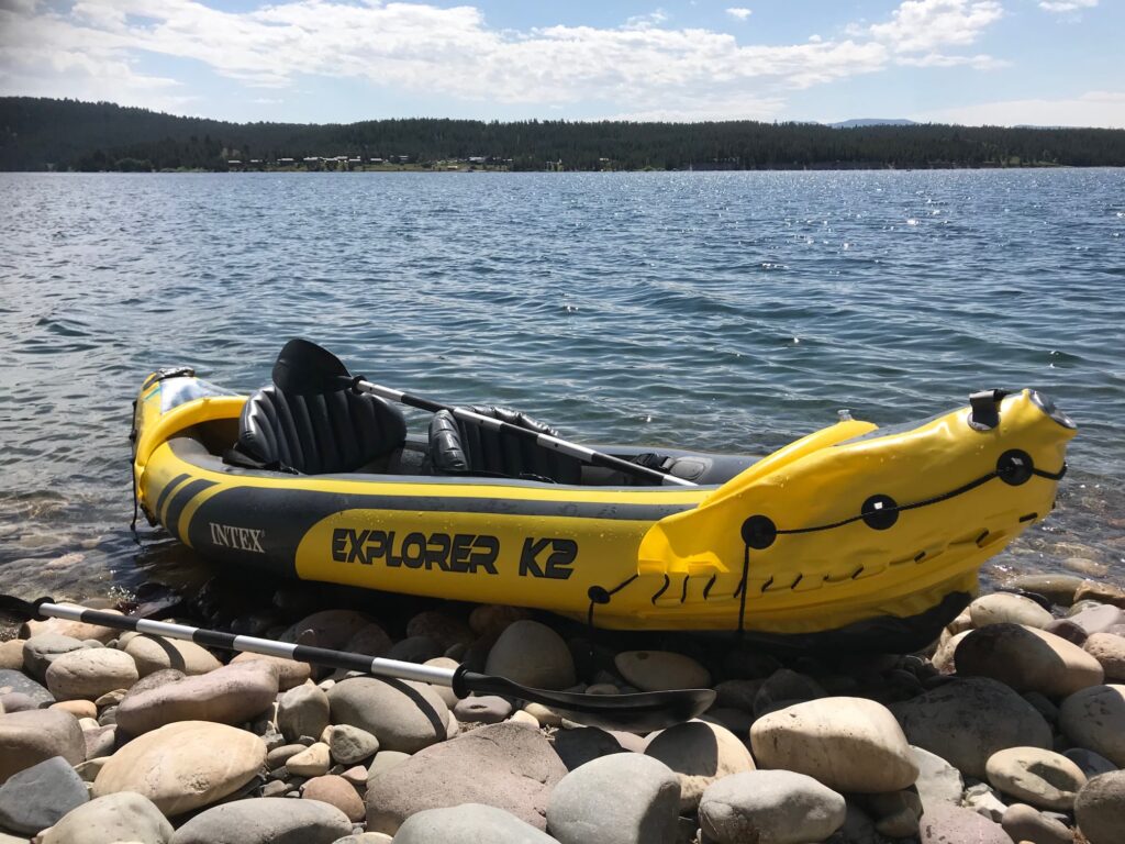
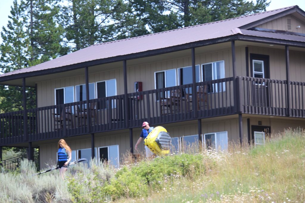
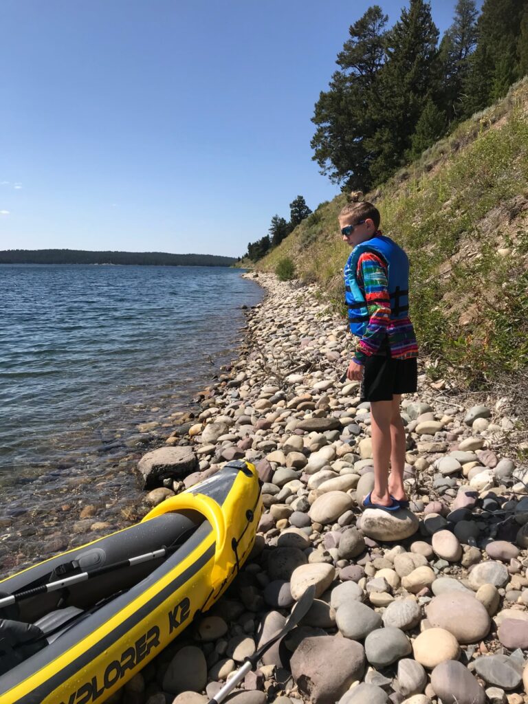
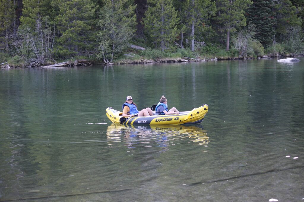
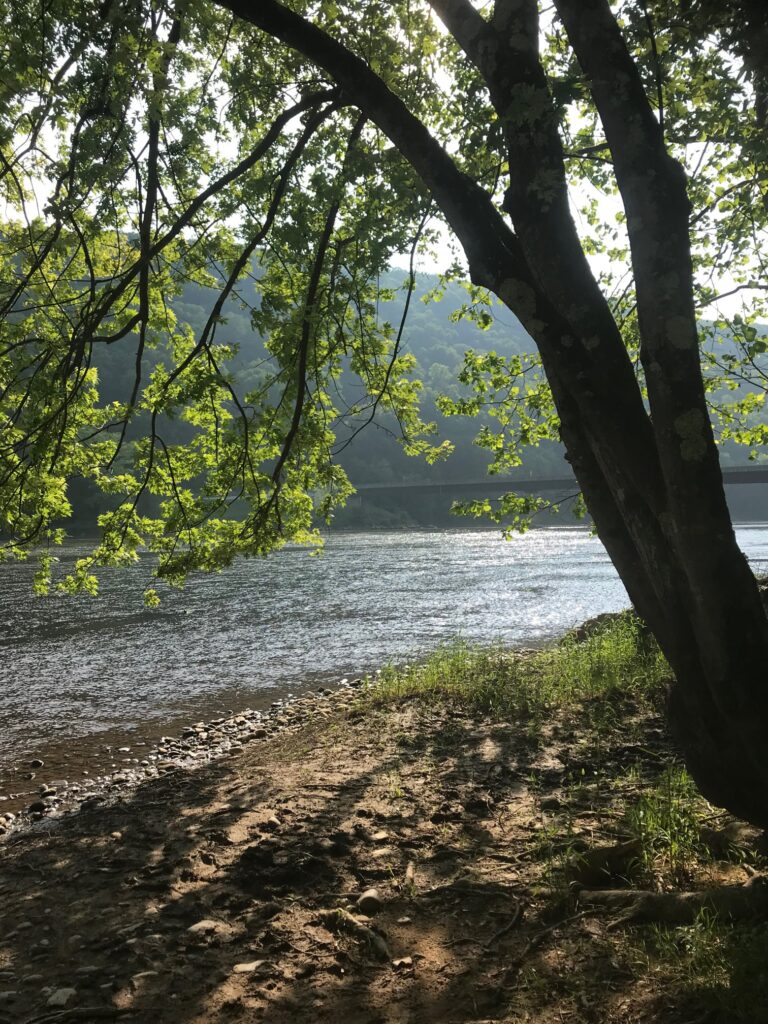
In June of 2020, we rented a house for a couple of nights in Kennerdell, right on the river. This gave us the opportunity to do a little kayaking as well!
Mid-day view of the Allegheny RIverSunrise view of the Allegheny RiverSunset view of the Allegheny River
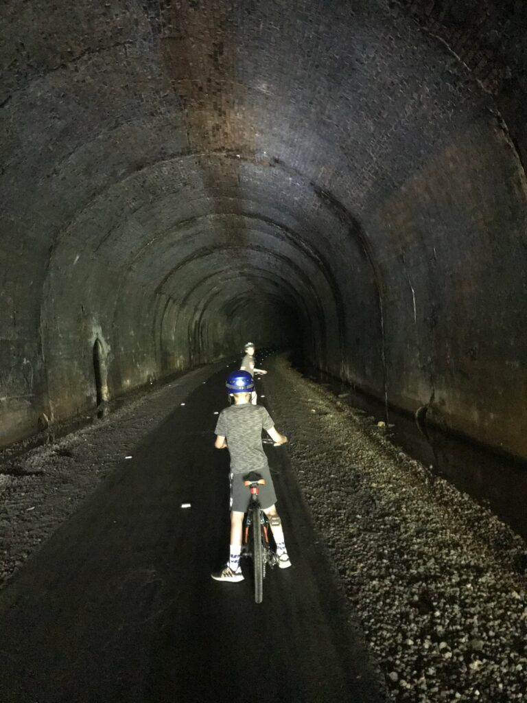
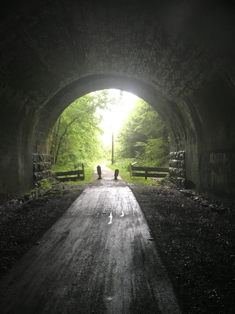
For our first day of biking, we headed north. Our starting point was very close to the southern entrance of the Kennerdell Tunnel off of a private road. This tunnel is 3350 feet in length. It was pathed throughout and had reflectors to mark the center. Due to its length and curve at the end, you can not see from one end to the other making the headlamps not only fun but necessary!
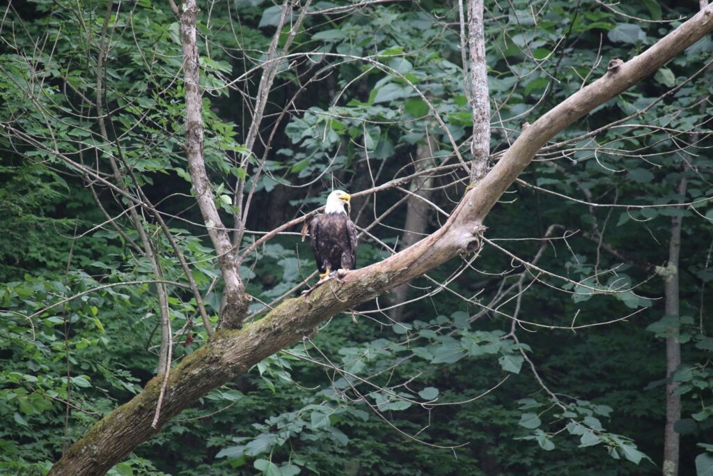
We traveled about ten miles on the trail. It was paved the entire way except for a roughly 1-mile section of the shared-use gravel Kent Road. The views of the river from the path were beautiful, here and there were also benches or picnic tables to rest and enjoy it. At one point we stopped to watch a Bald Eagle fishing across the river.
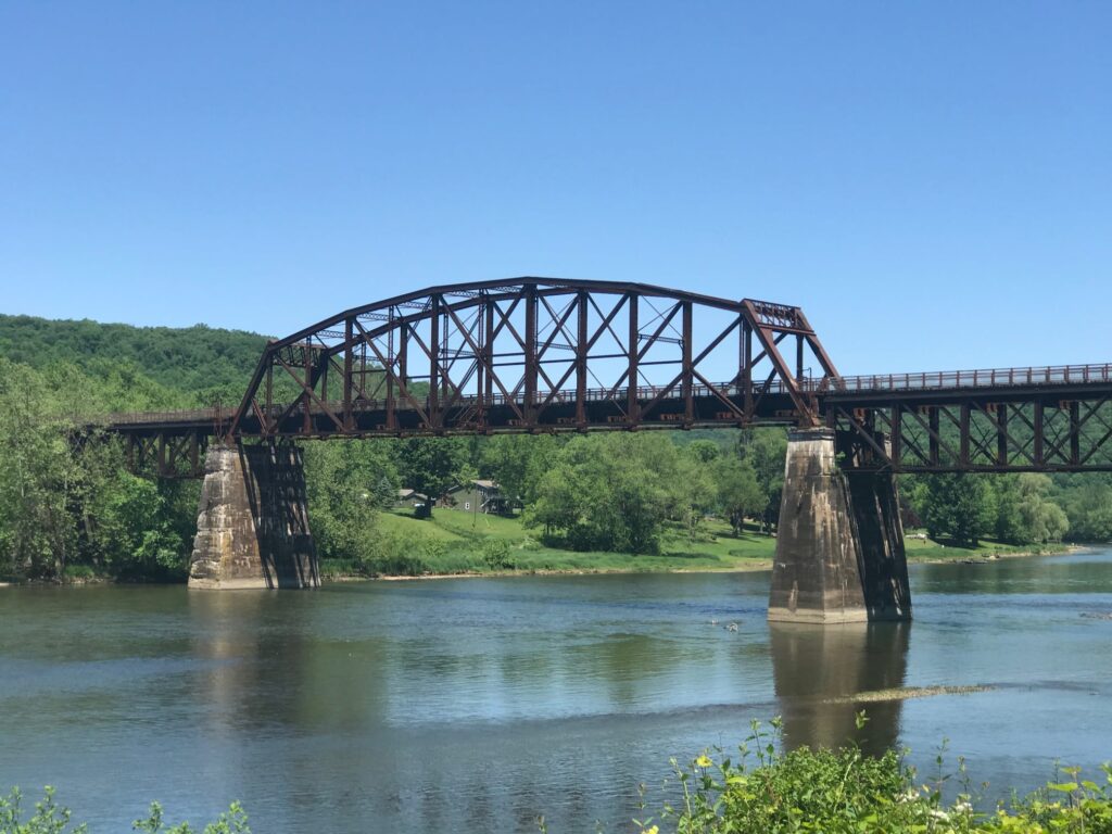
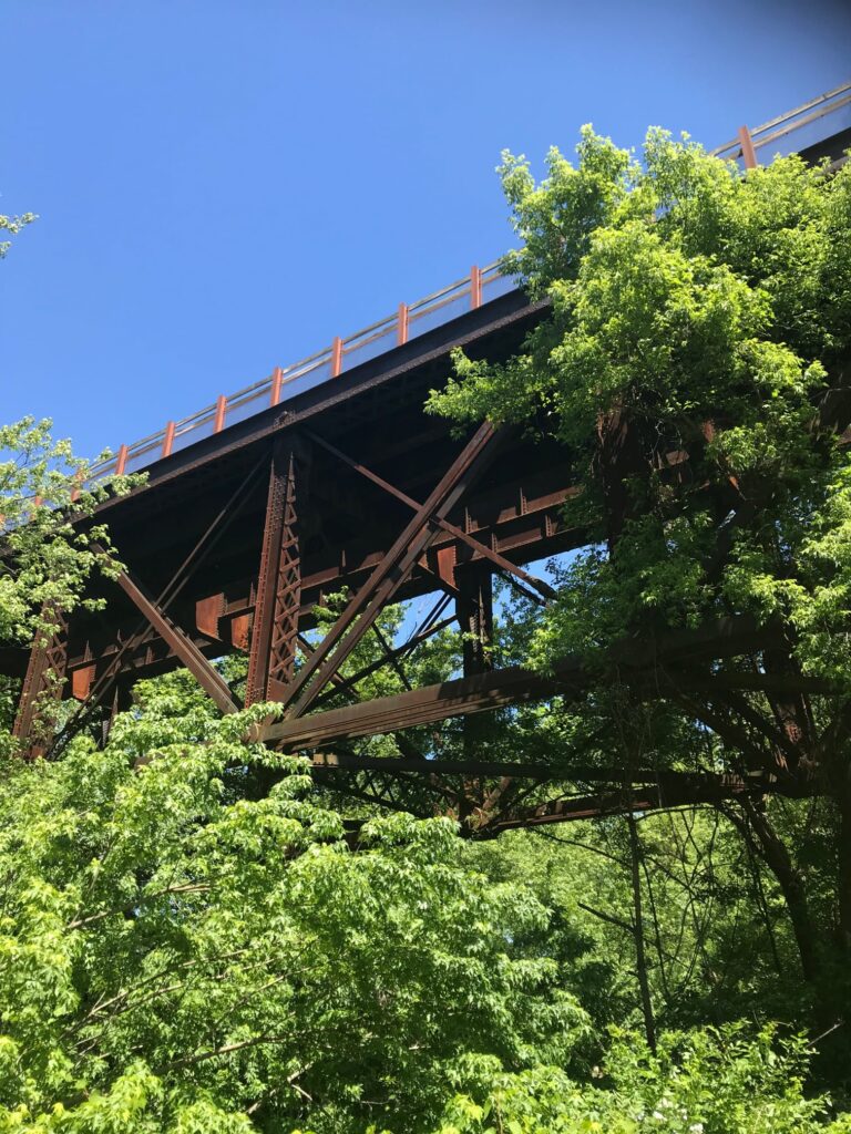
We turned around at the Sandy Creek trailhead junction. There were nice views of the bridge over the Allegheny. This looked like another great path to come back and ride sometime!
View of the Sandy Creek trail above us.
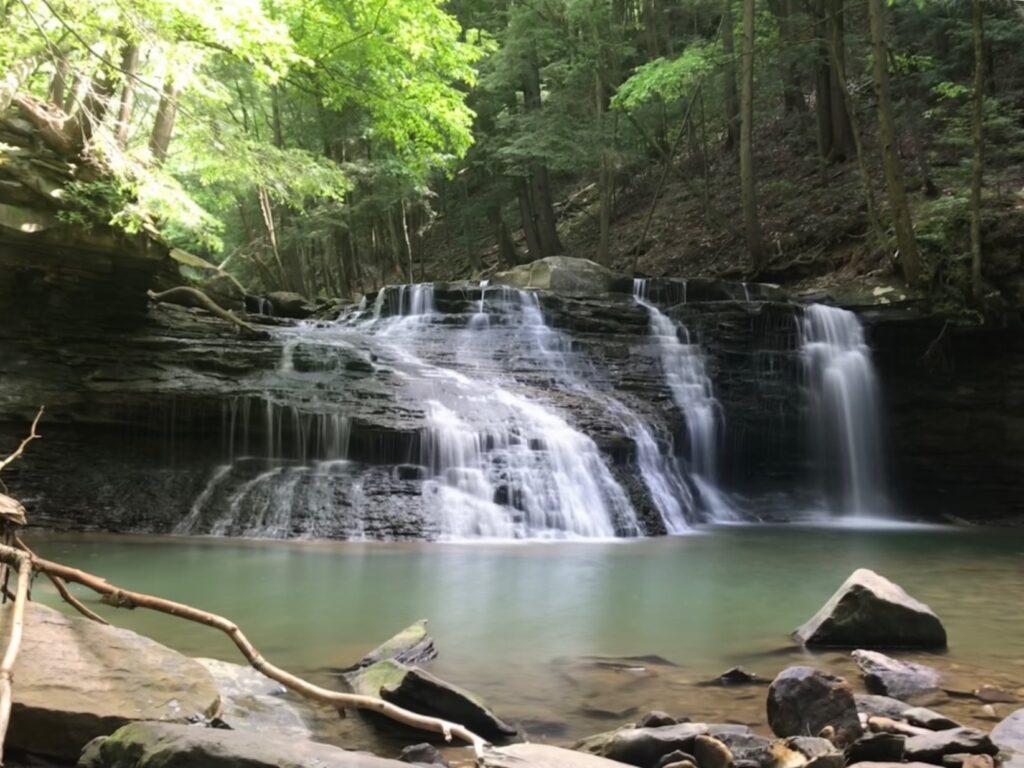
The next day we headed south on the Allegheny River Trail. This time our goal was a stop at Freedom Falls and the Rockland Tunnel about 10 miles down the path. We enjoyed more beautiful views of the river.
We parked our bikes at the Rockland Station Road trailhead. The tunnel was in view from here but we took to the road and walked a half-mile up to see Freedom Falls and the Rockland Furnace. We sat and ate our packed lunch in front of the falls. What a fantastic spot! Other than a few people camping up on the hill, we had the whole place to ourselves.
Freedom Falls
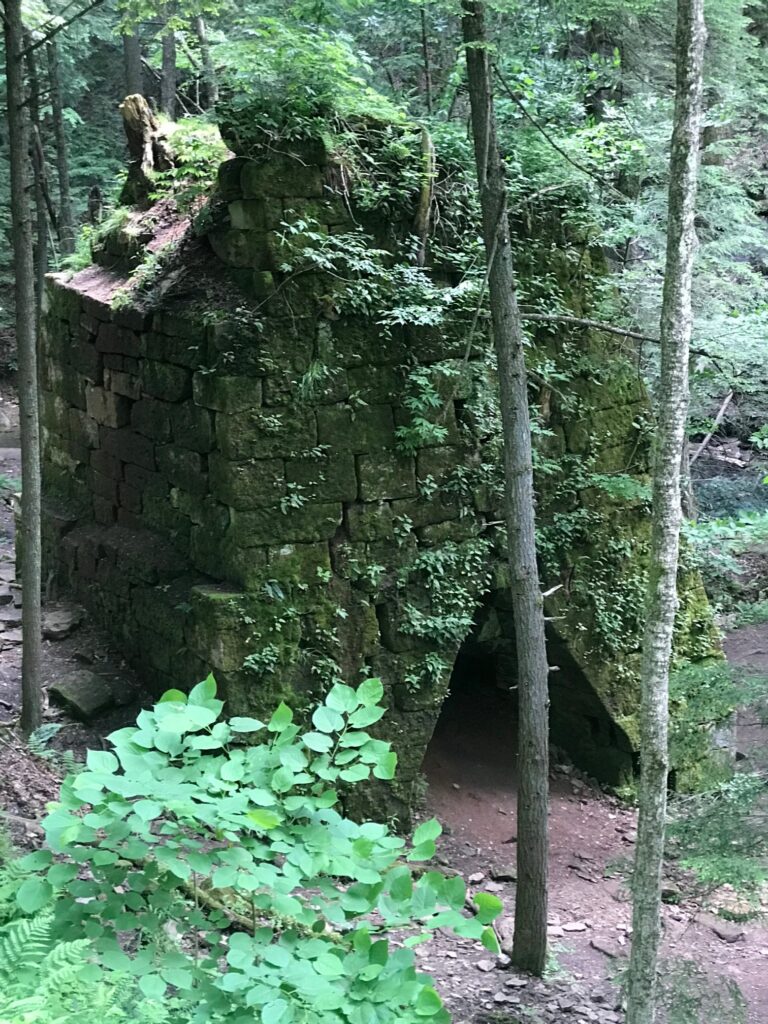
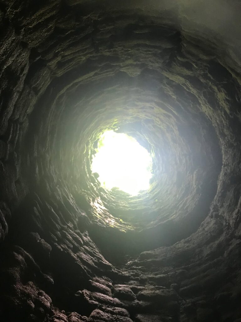
Exterior and interior views of the Rockland Furnace.
After resting by the falls we explored the ruins of the Rockland Furnace. This furnace was in operation from 1832 until 1854 for the production of iron. It was in pretty good shape considering that it hasn’t been used in 160+ years! It is all that remains of the town of Freedom that once stood here. Interesting to think that this area was once probably treeless and that trees have again overtaken the land. After we were done exploring it was time to travel our second tunnel. The Rockland tunnel is 2868 feet long but still long enough to not see the other end! We traveled through it and back again as we headed back to the house for a relaxing dinner and a family game to end our weekend get away.
Entrance to the Rockland Tunnel.Another look at the Kennerdell tunnel from the inside!
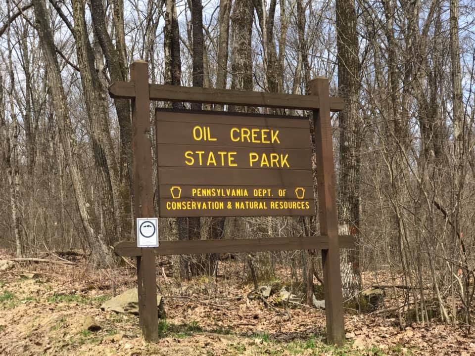
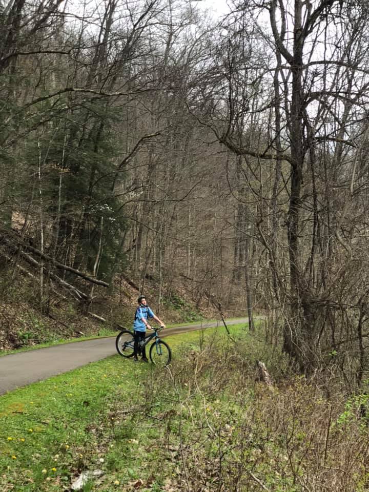
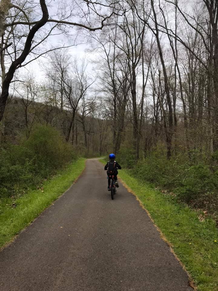
I don’t remember how I stumbled upon this bike trail, but I know that I had not heard of it before 2020, and I liked it so much that we visited it 3 times this summer! We parked at the Jersey Bridge parking area just south of Titusville, PA. This is also within walking distance of Drake Well and Museum, which celebrates the inception of the petroleum industry. Pairing a trip to the museum with a ride on the trail would make for a nice day, but unfortunately, it was closed throughout 2020 due to the Covid-19 pandemic.
We rode this trail, the entire distance of the park, as a family of five twice. It is 20 miles round trip, but the relatively flat grade made this doable for everyone, including the youngest, at age ten. The third trip here we were joined by my parents who, still very active in their 70’s also enjoyed the trail.
Sights along the Oil Creek State Park bike path
The trail is very secluded. Once you leave the parking area, there are no roads or road noise!
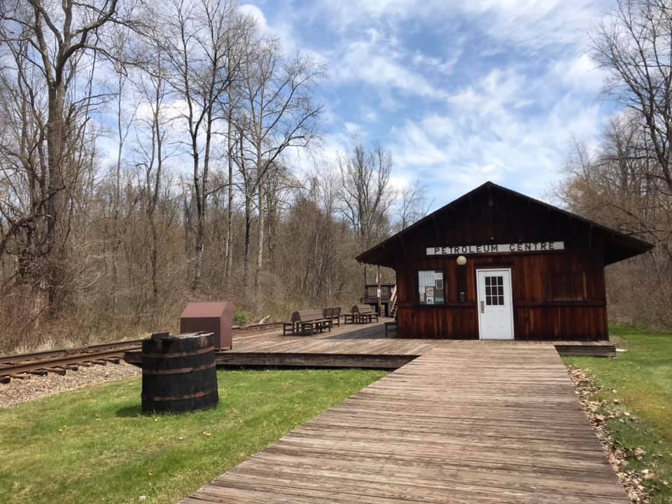
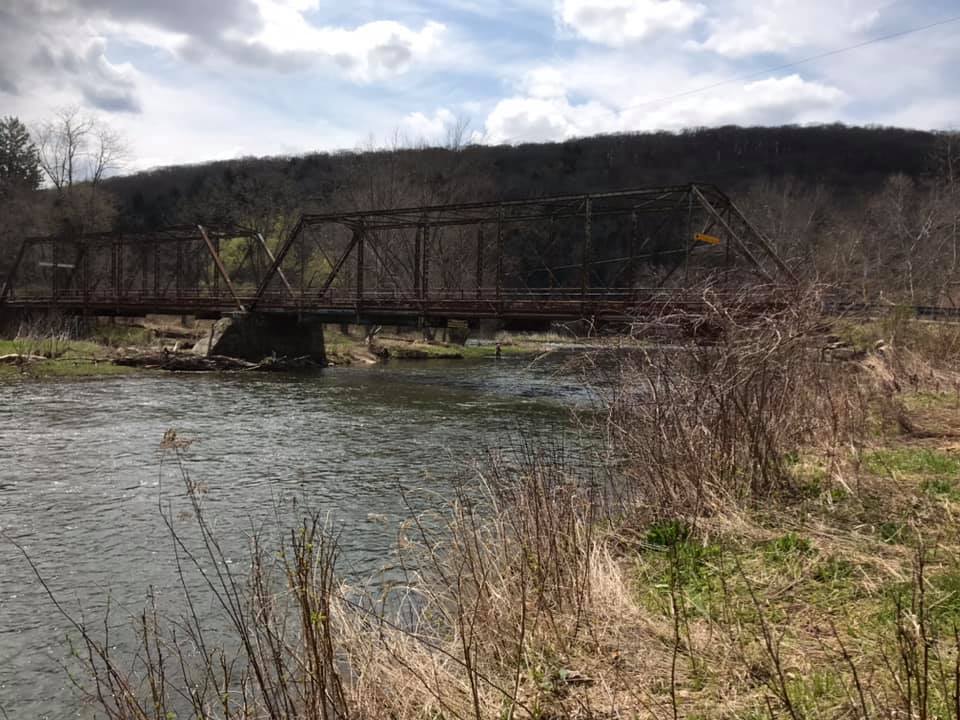
The path follows Oil Creek, crossing it twice on the way to an area of the park called Petroleum Center. This part of the state park had a restroom, picnic areas, a seasonal train station, and a very cool interpretive boardwalk with photographs of what the town of Petroleum Center looked like during the Pennsylvania oil rush of the mid 19th century.
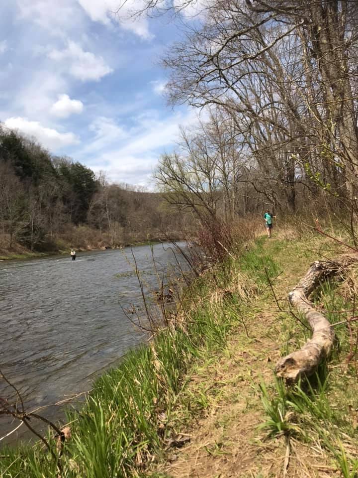
Oil Creek, near the south end of the state park, with remnants of Pennsylvania’s oil boom in the background.
This was a great ride, in a beautiful place. It was also a powerful reminder of how humans can both destroy and restore the world that they live in. I enjoy learning the history, but hope to live my life as one of the restorers.
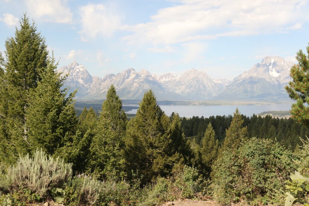
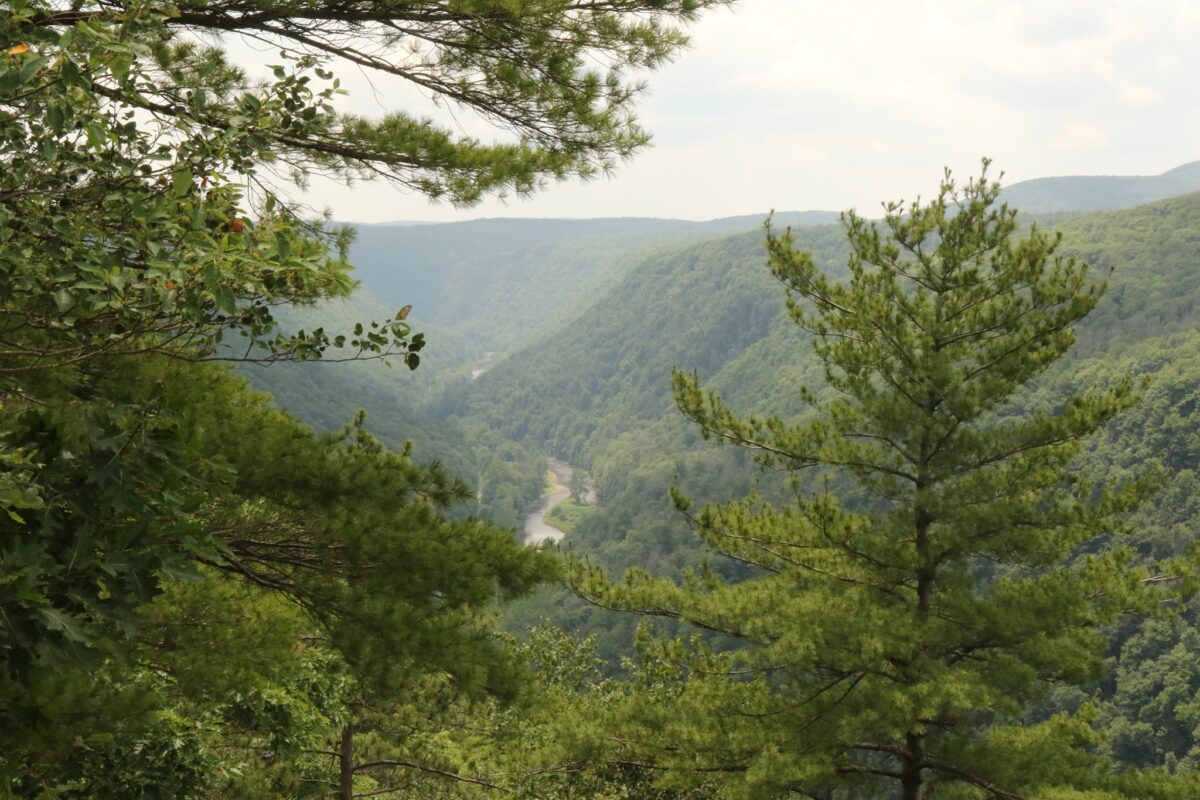
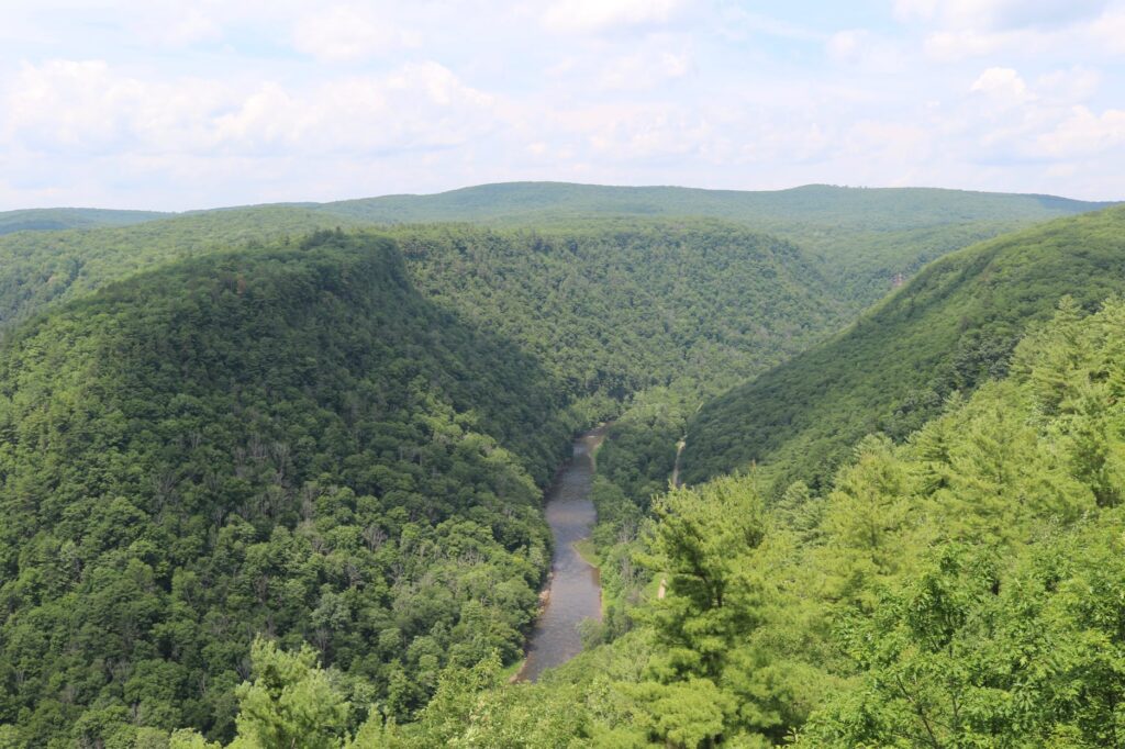
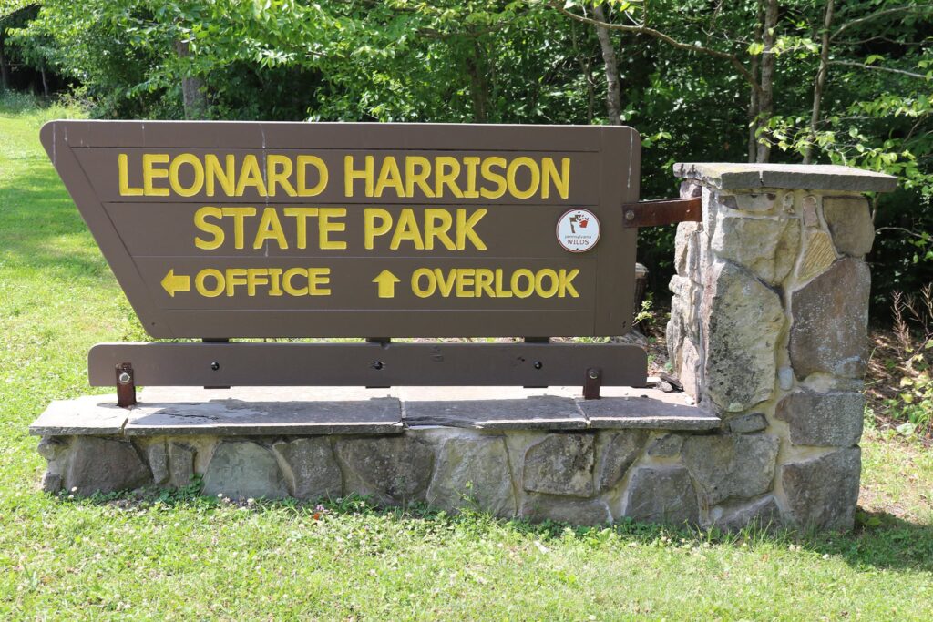
Summer 2020 was full of socially distant outdoor activities. One of our family’s favorites was exploring the many bike paths within a few hours of our home in western NY. The next 3 blog posts will feature our 3 favorites this summer. We started this trip by taking a picnic lunch up to Leonard Harrison State Park in Wellsboro, PA.
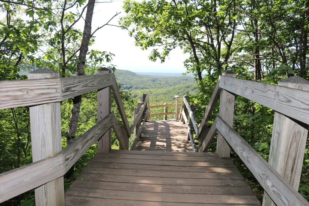
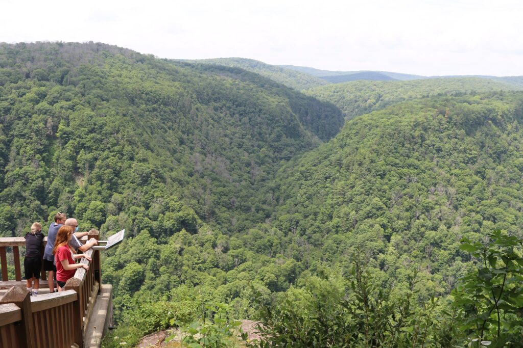
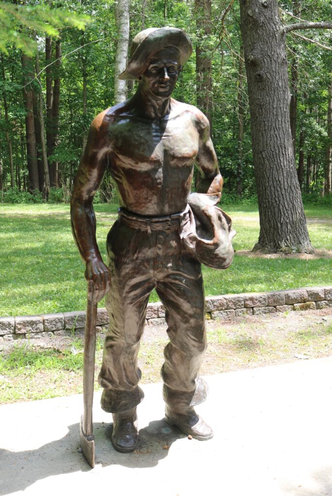
This park is in the heart of the area known as the Pennsylvania Grand Canyon and is situated on its eastern rim. The boardwalk leads to overlooks with sweeping views of the canyon and Pine Creek below. When we visited in July, there were also concessions featuring local treats. I was surprisingly pleased to see there is also an Iron Mike statue. These statues, to commemorate the work of the Civilian Conservation Corps, began with the first unveiling in 1935 in Griffith Park, Los Angeles California. Today there are 76 statues throughout the United States. So much of the groundwork in many of the parks I enjoy visiting on the east coast was laid by the workers of this depression-era program.
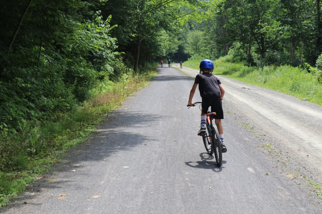
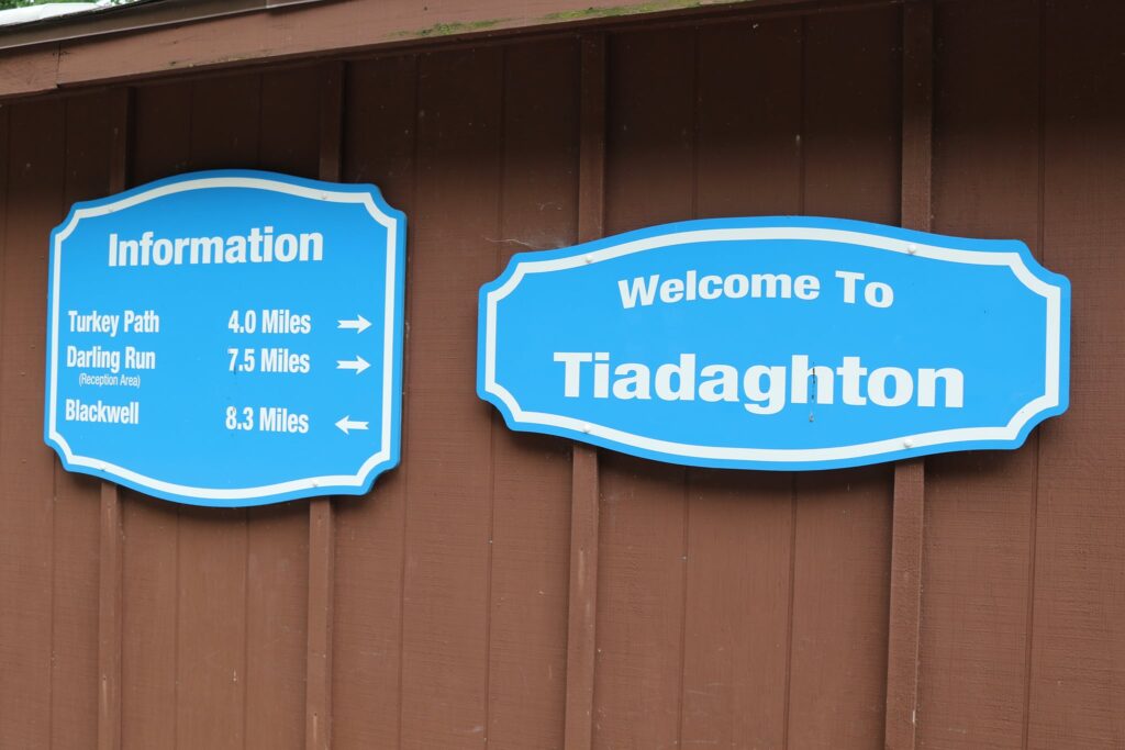
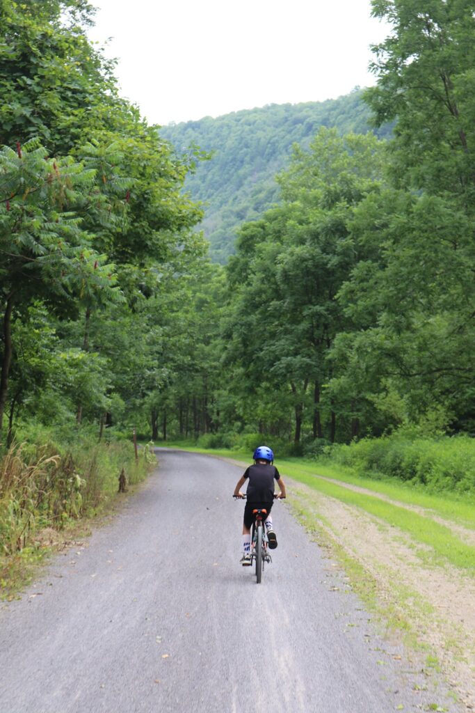
Now, about this bike trail! We parked at the Darling Run access lot just south of Ansonia, PA. Our plan was to ride about 7.5 miles down to the Tiadaghton camping area and back. The entire bike path is 62 miles long.
The youngest, always trying to catch up!
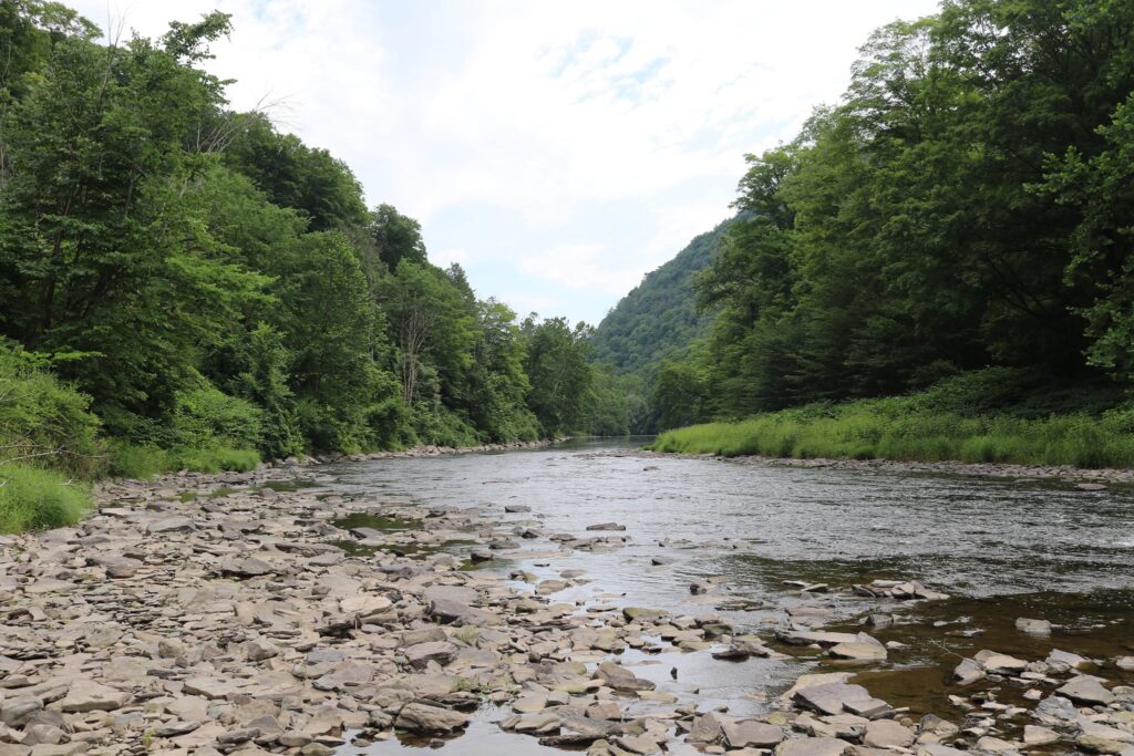
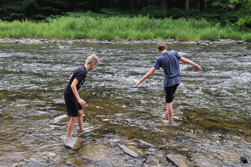
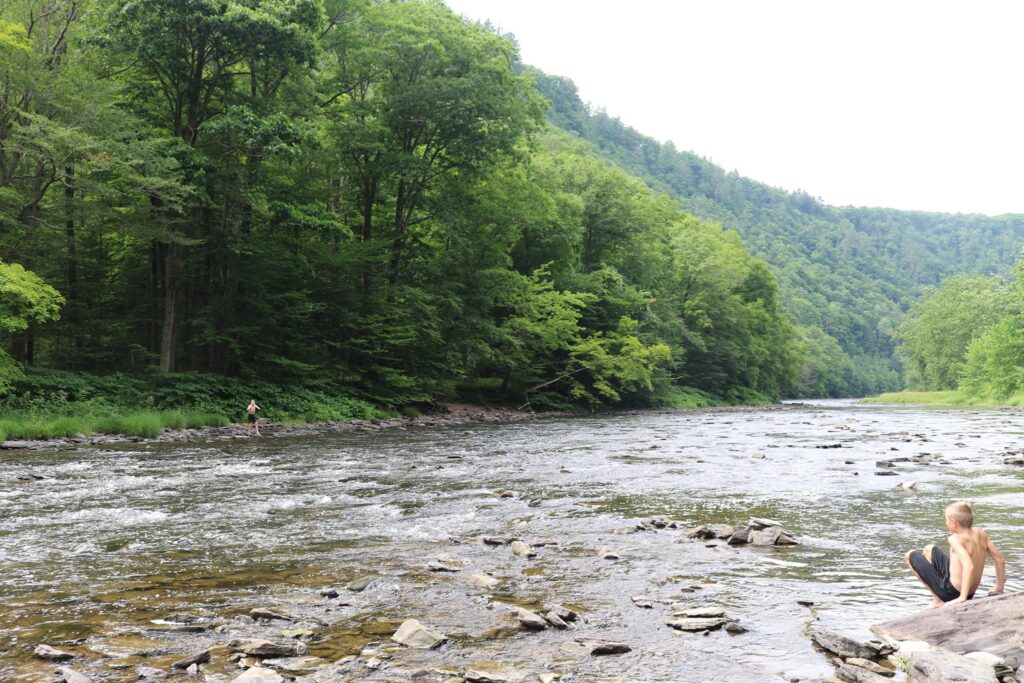
After riding for about 3 miles, we pulled off the trail to enjoy the creek. It was a warm day and it was a great place to splash and cool off.
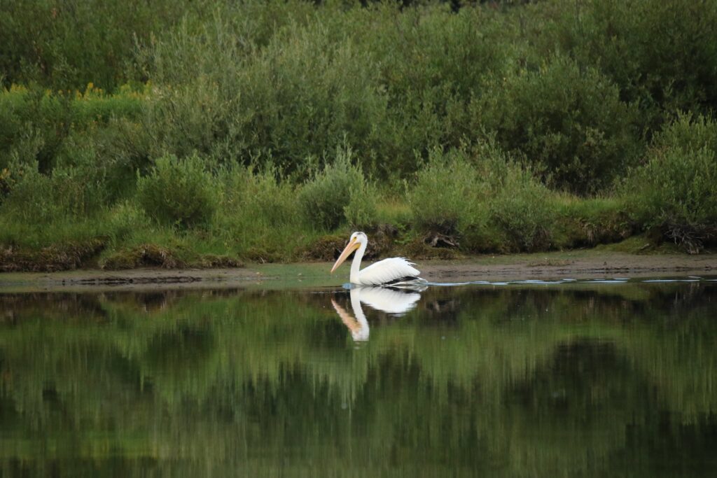
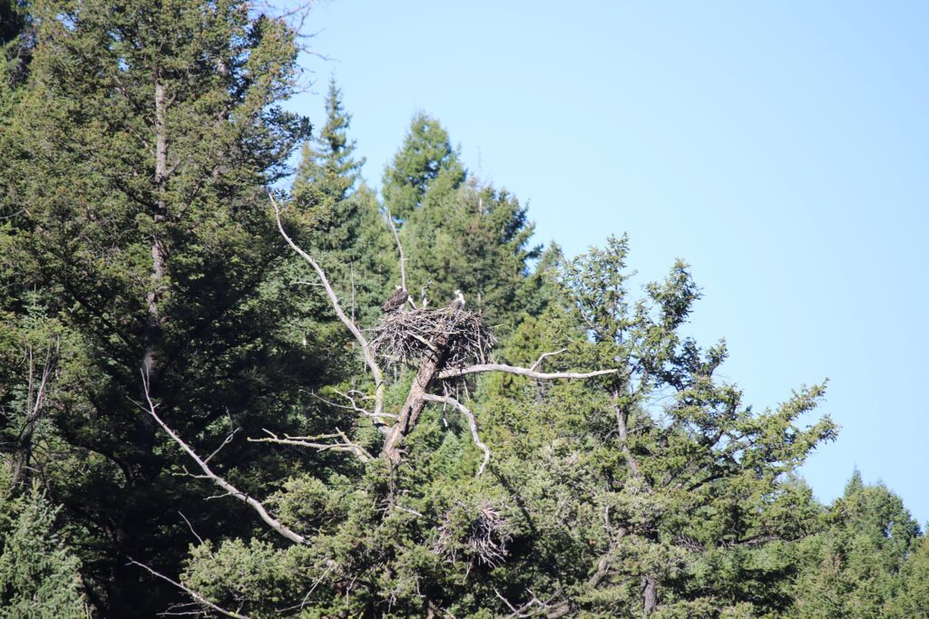
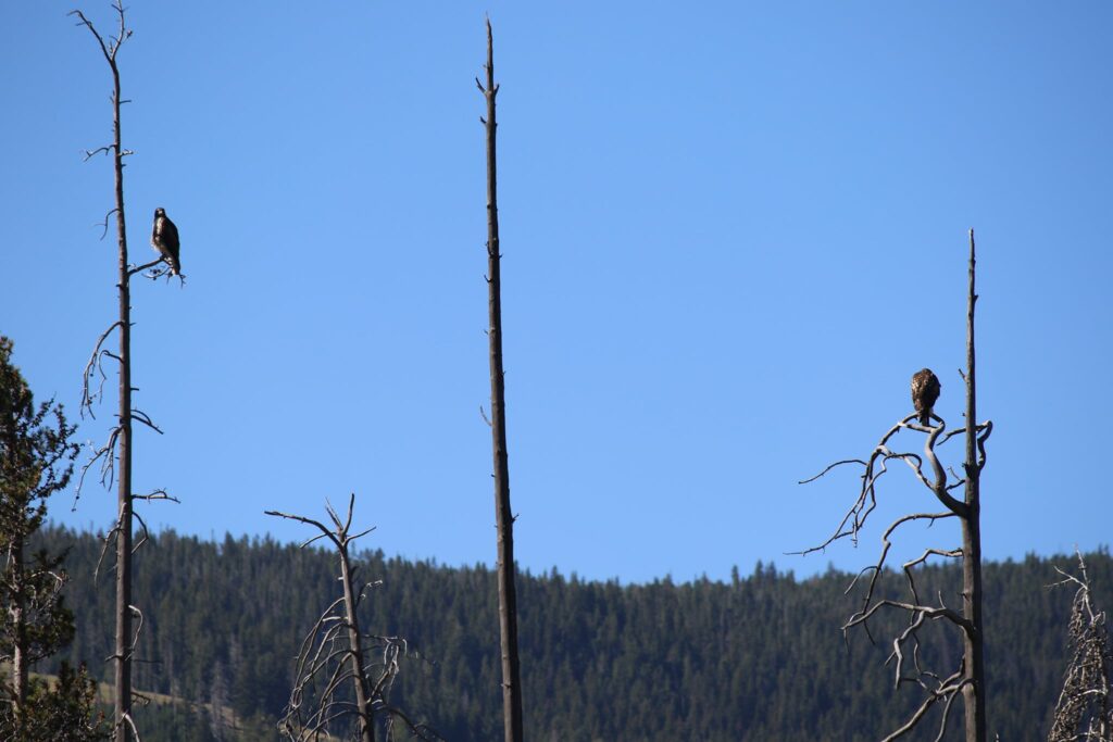
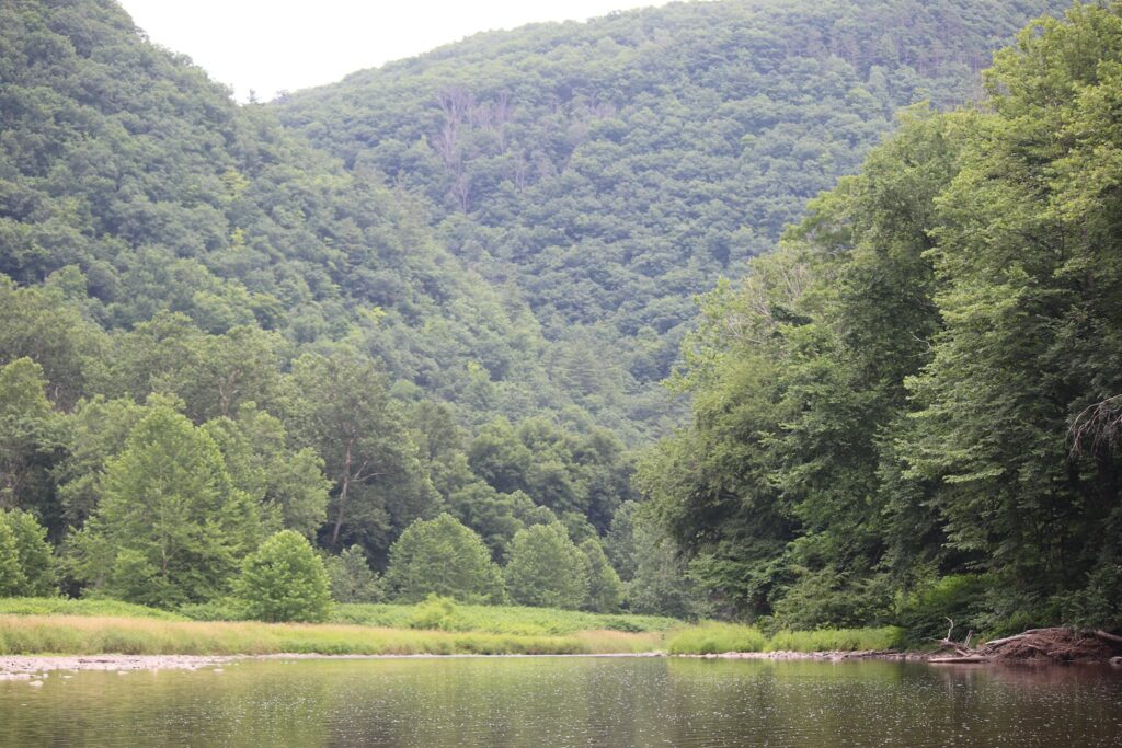
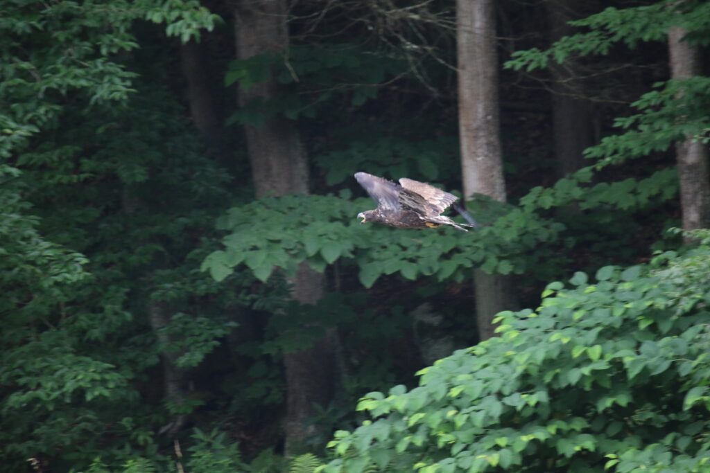
After 7.5 miles we arrived at our destination. Again, we waded in the creek. this time we were joined by an adult and a juvenile Bald Eagle. The area was very peaceful.
It has been a summer of Eagles! This once nearly extinct bird has been a regular sight for us this year.
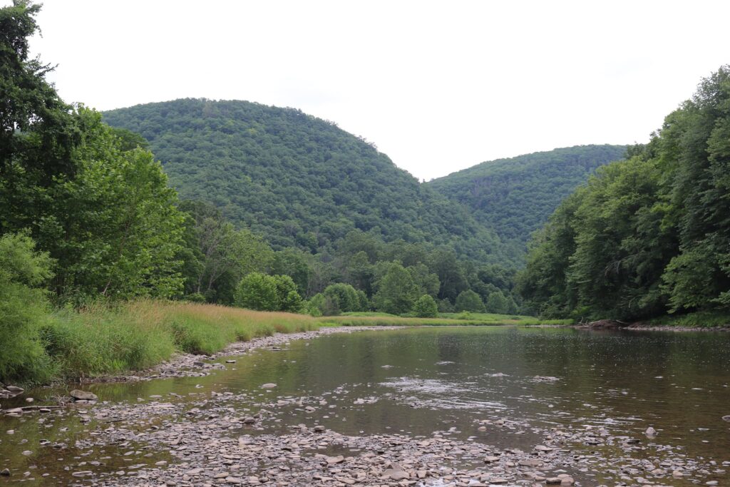
After cooling off for a bit it was time to return the way we came. A storm was blowing in as we biked the 7.5 miles back to our van.
Even though this trip was in July, I am writing about it in November. In the spirit of Thanksgiving, I am so grateful for a day spent with family, a social program that promoted the protection of beautiful places while putting people to work, and all the people who fought for the protection of species like the Bald Eagle so that we can still enjoy them today.
Coming up with a list of my top 5 favorite hikes of all time was no easy task. I chose hikes not just for the trail or scenery, but for the particular emotional feel of that day. I encourage you to hike the trails on this list, but also to pick 5 hikes of your own that gave you a memorable experience of heightened emotion.
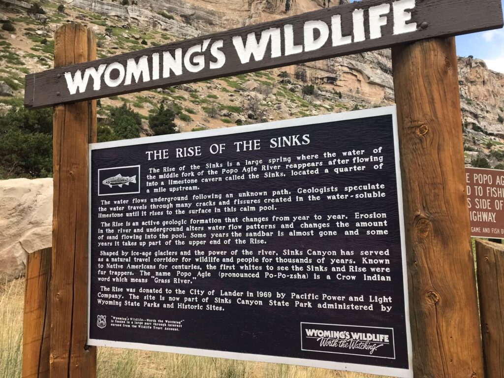
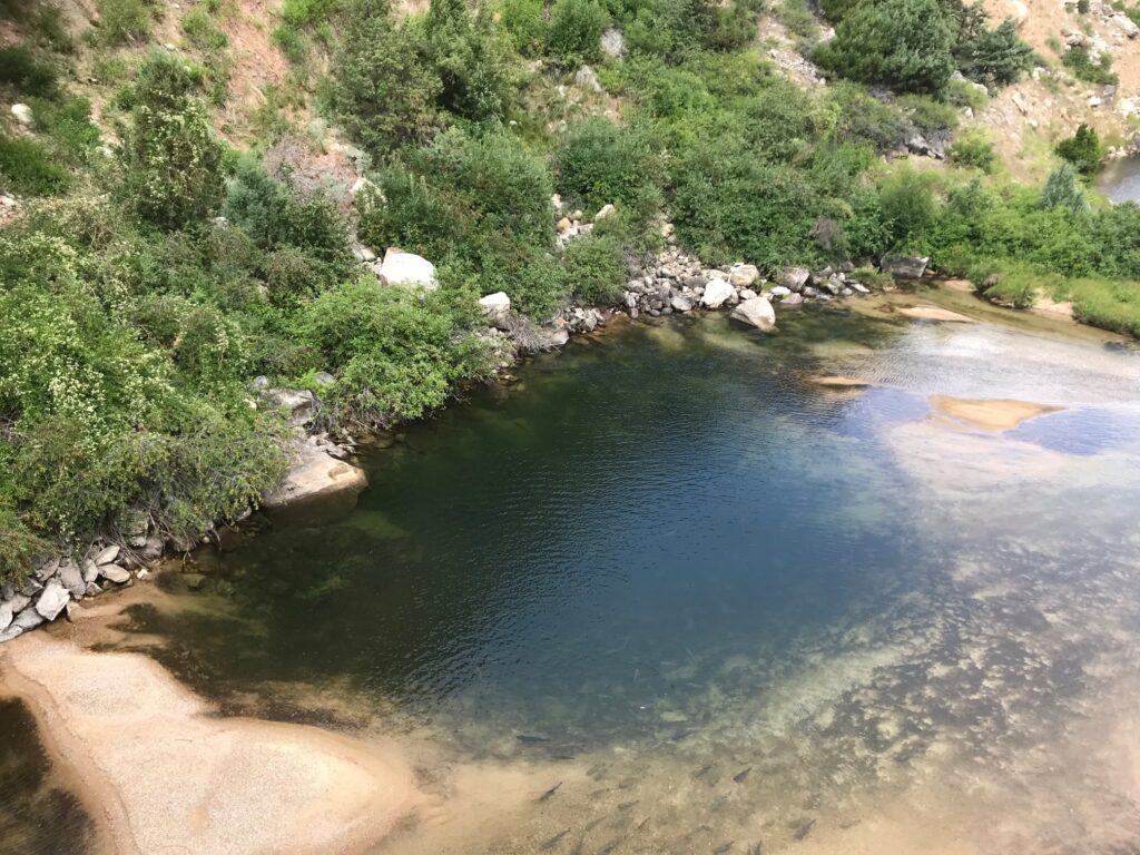
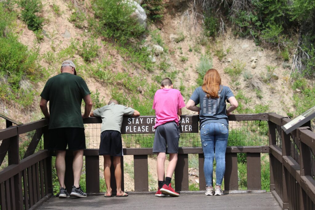
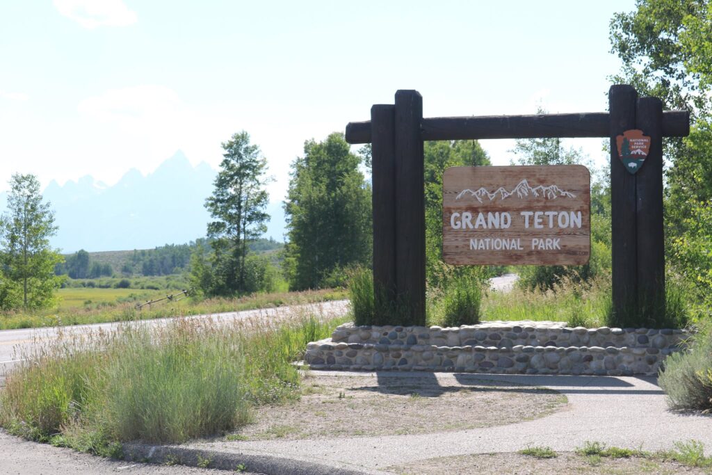
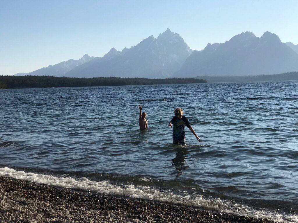
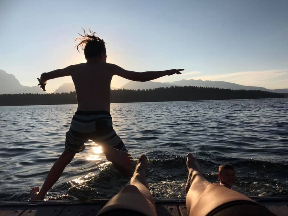
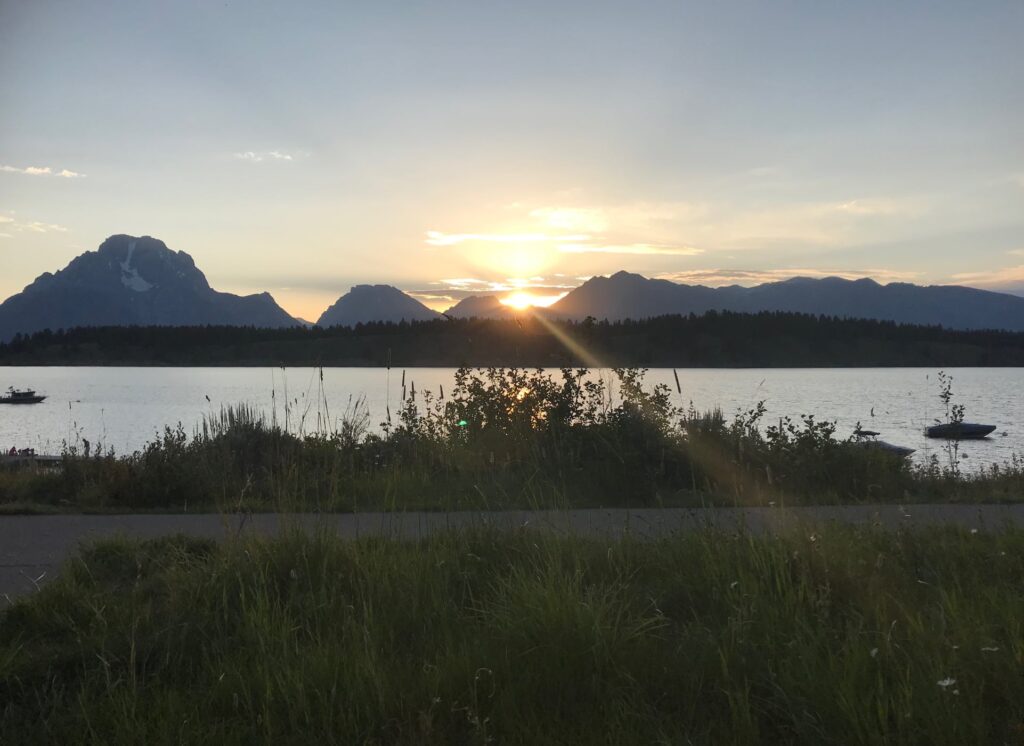
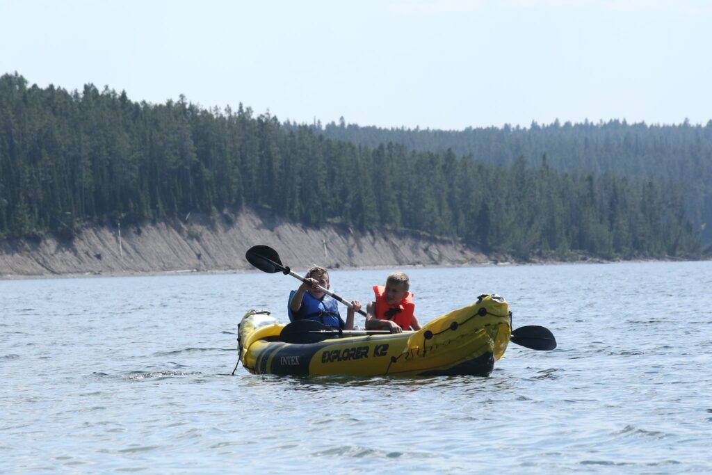
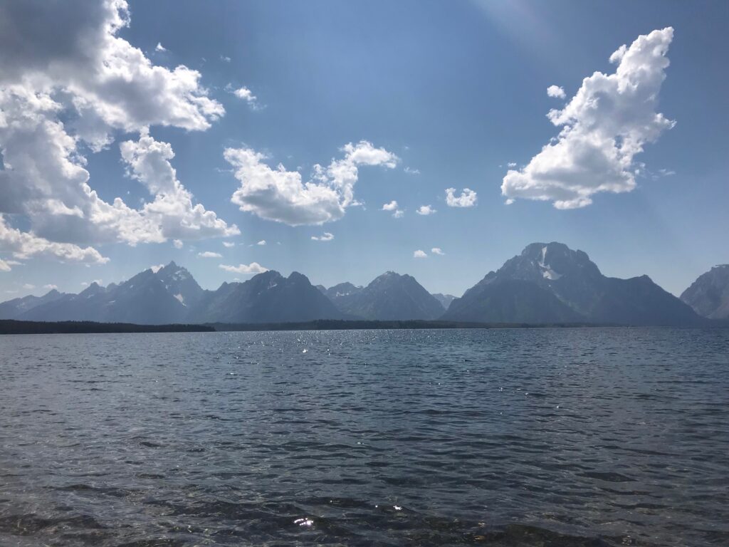
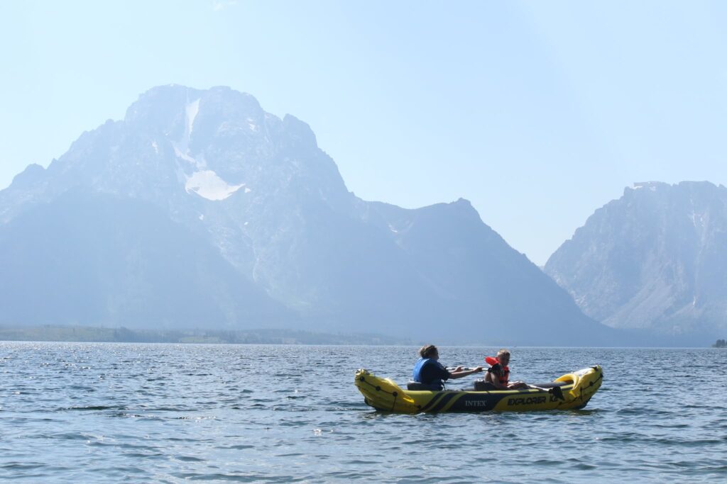
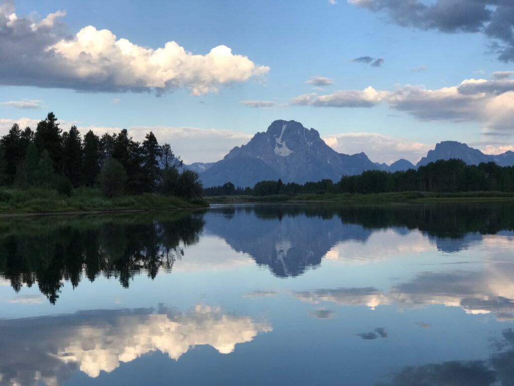
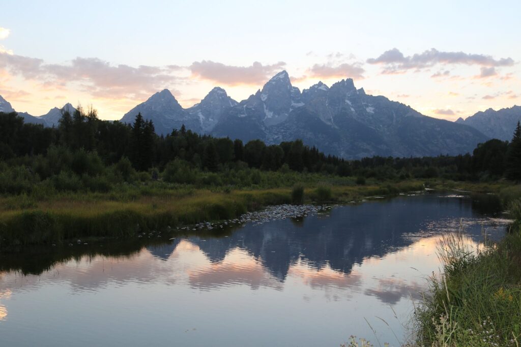
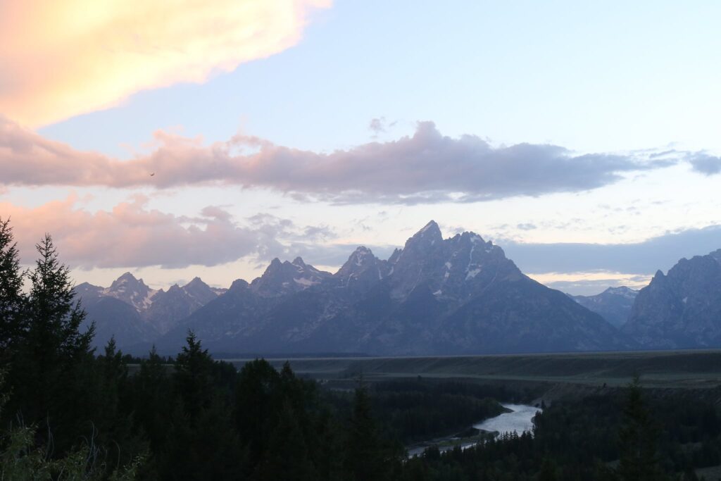
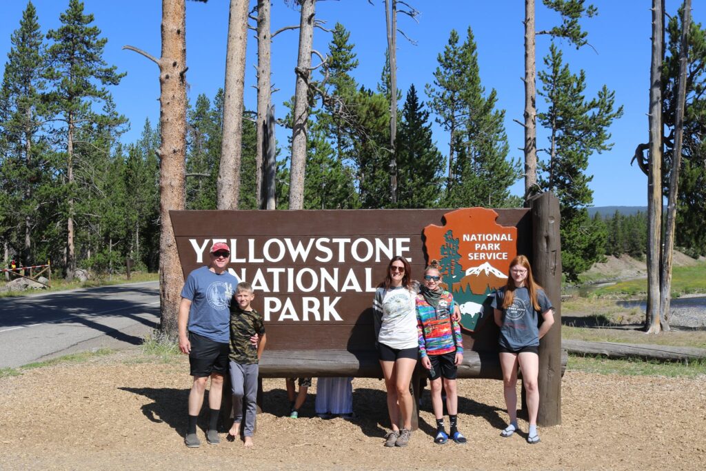
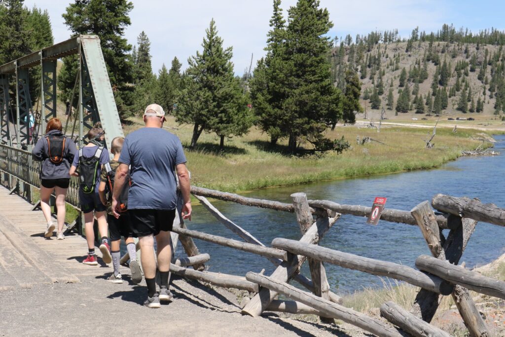
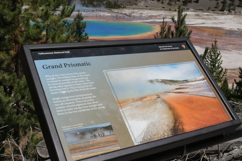
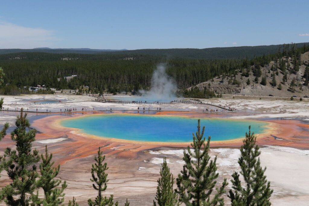
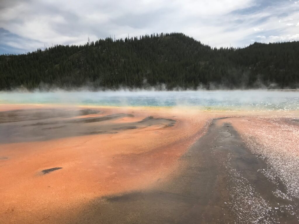
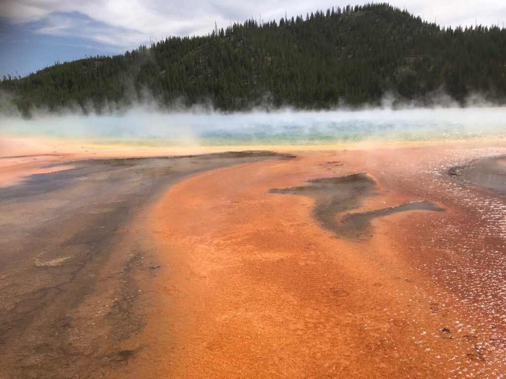
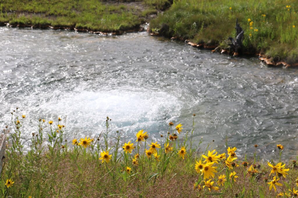
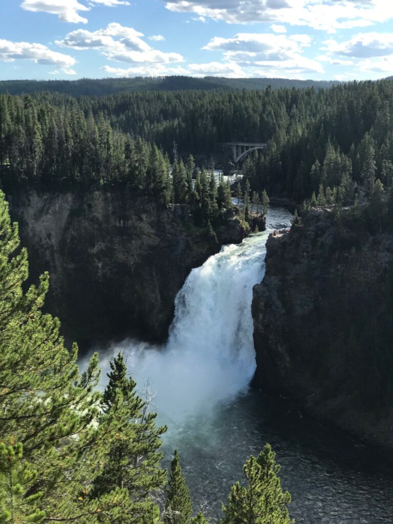
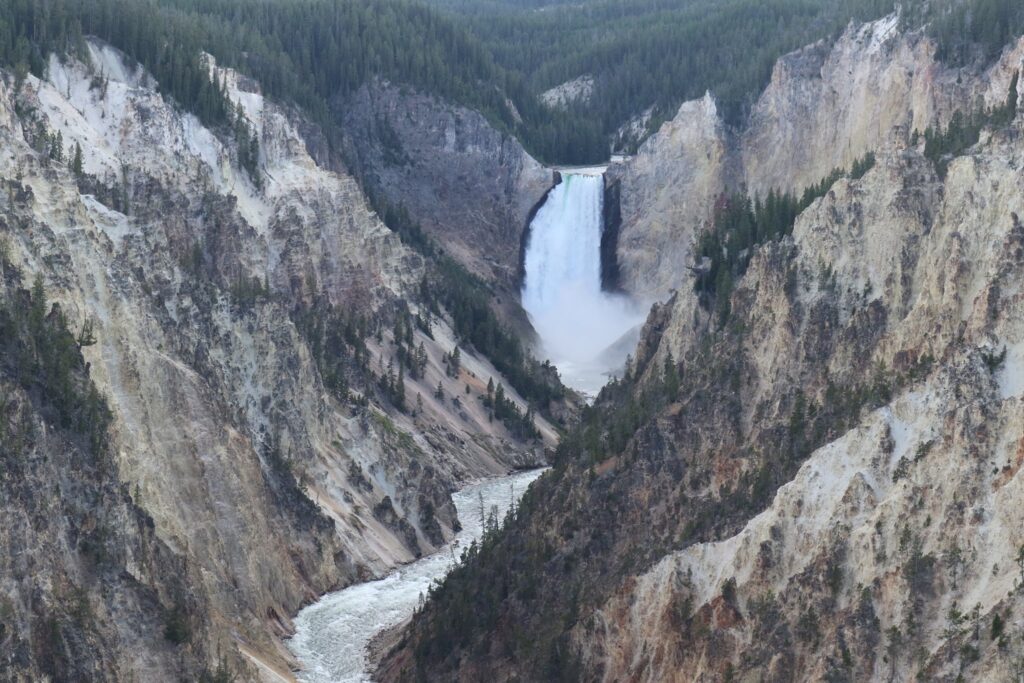
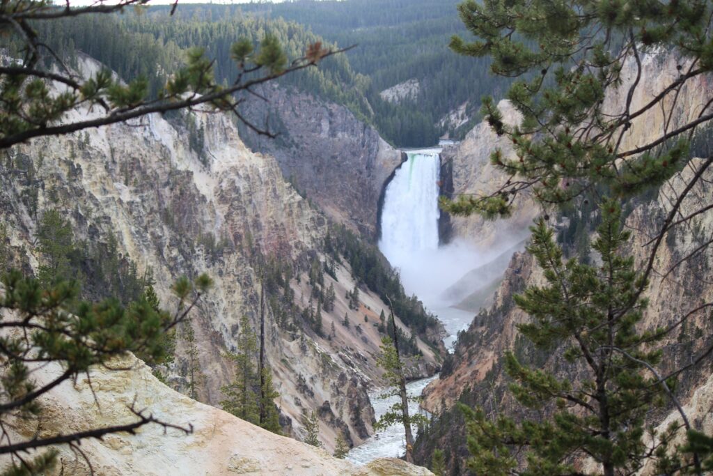
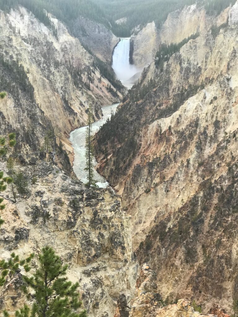
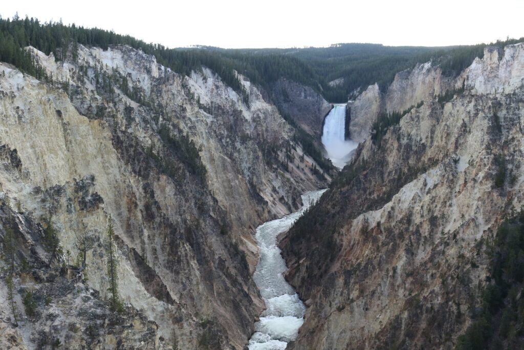
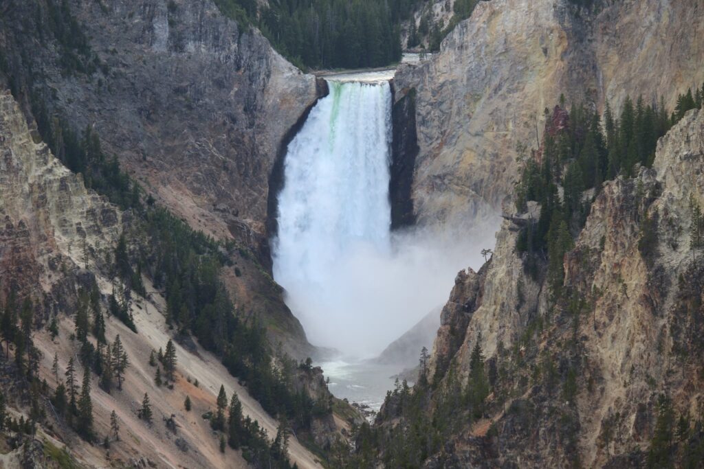
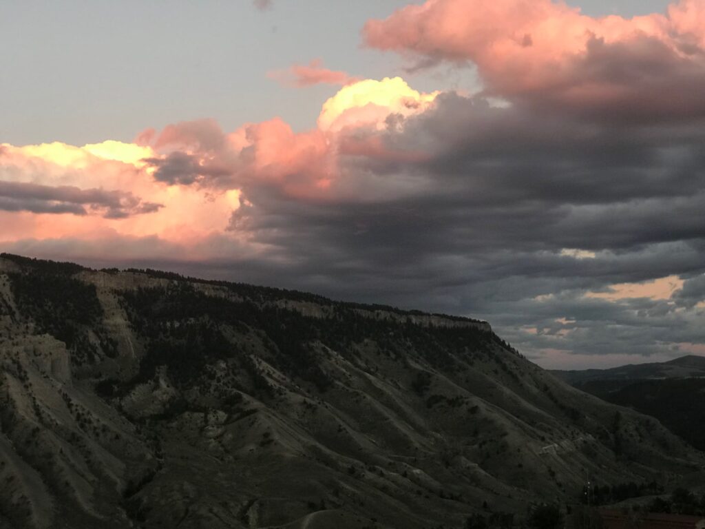
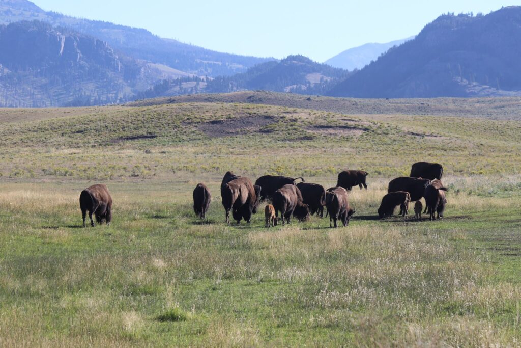
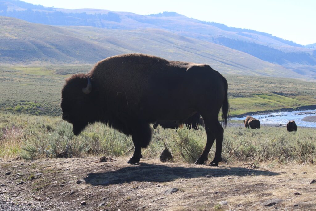
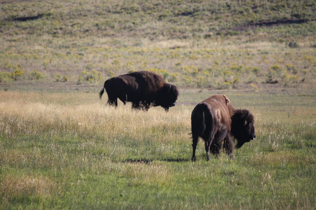
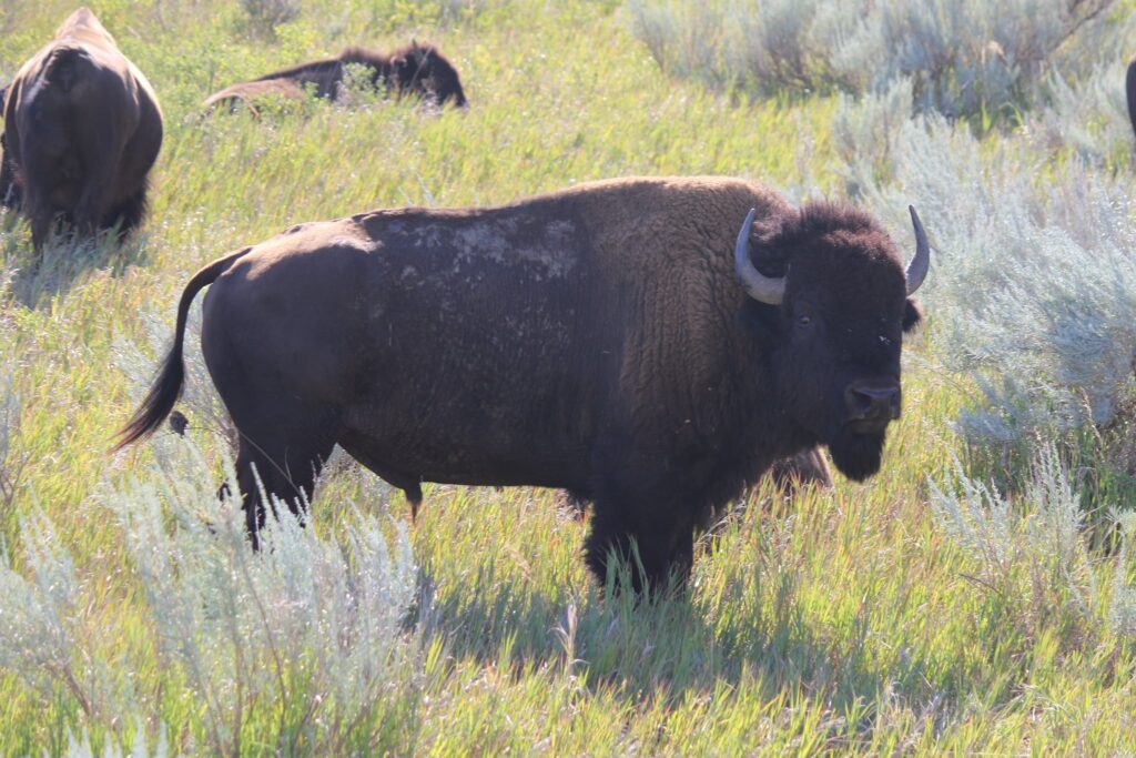
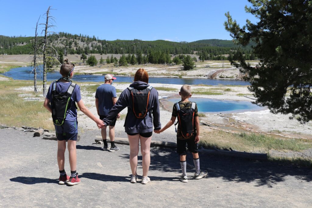
Number 5-Grand Prismatic Spring Overlook/Fairy Falls Trail, Yellowstone National Park
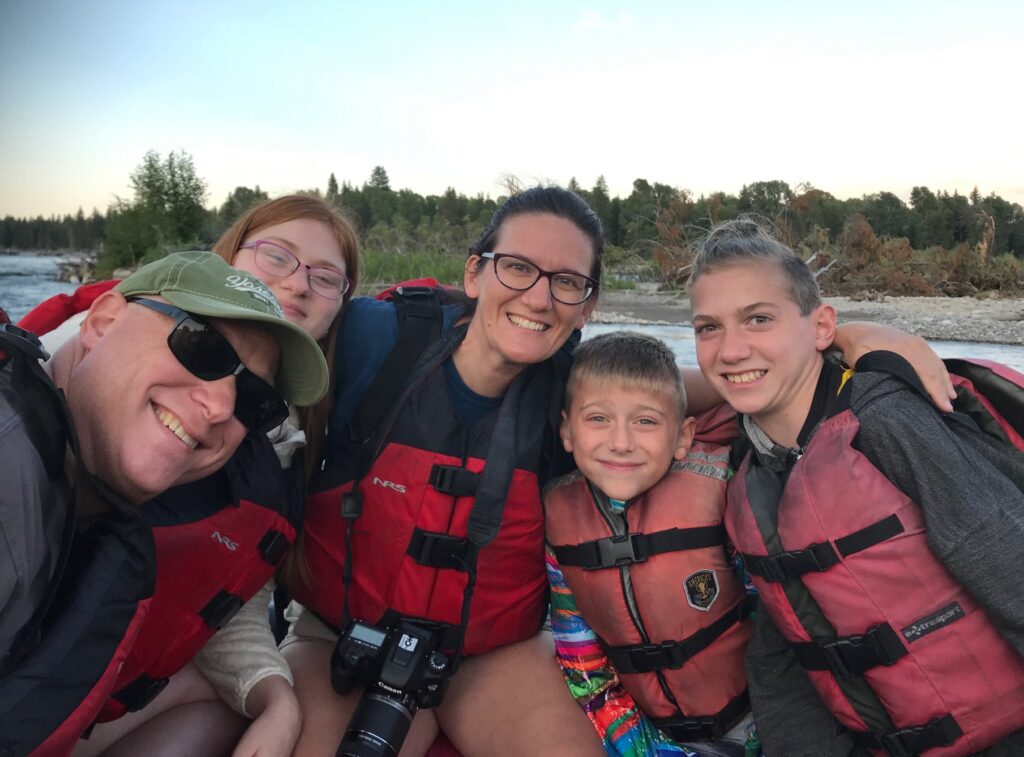
This was a great hike (meaning nobody complained) that I was able to take with my whole family while traveling through Wyoming in August 2020. This was just one experience we had together during a 2-week tour of Wyoming but it was a very memorable one. I think the combined victory of perfect weather and harmonious children was intensified on this trip by the realization that we were here, on vacation, after months of uncertainty due to the pandemic.
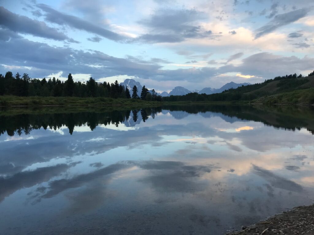
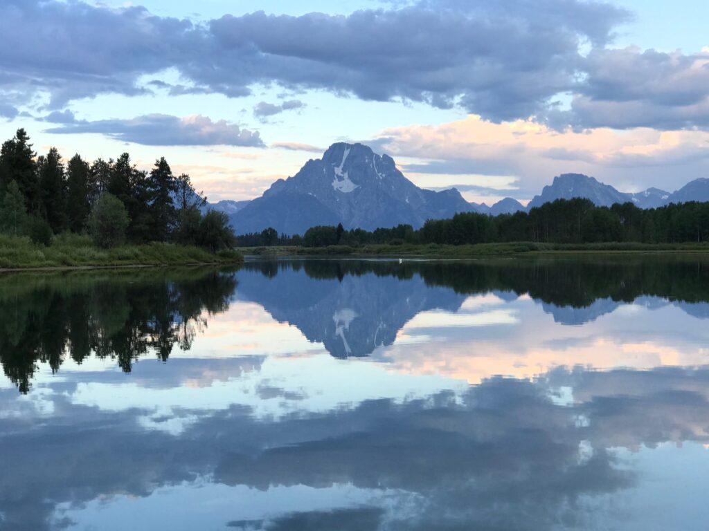
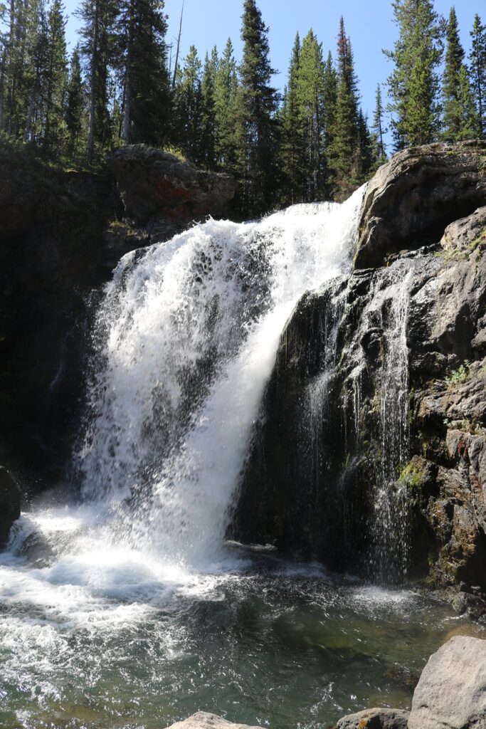
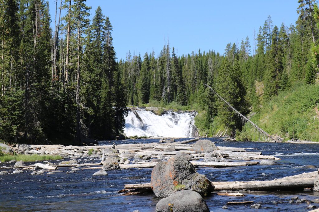
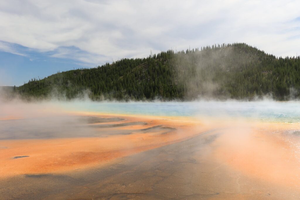
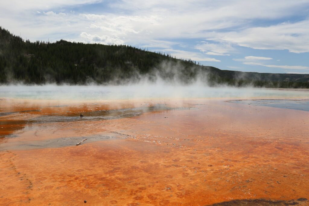
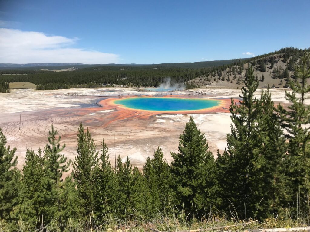
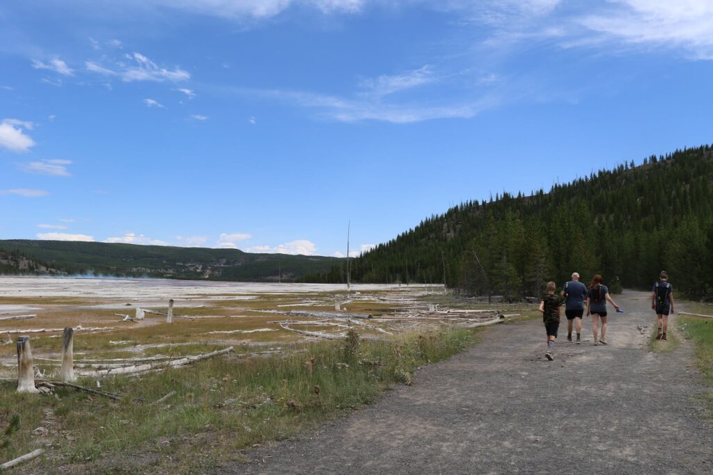
Looking at thermal features along the Firehole River, shortly after leaving the parking area.Grand Prismatic Spring as seen from above.
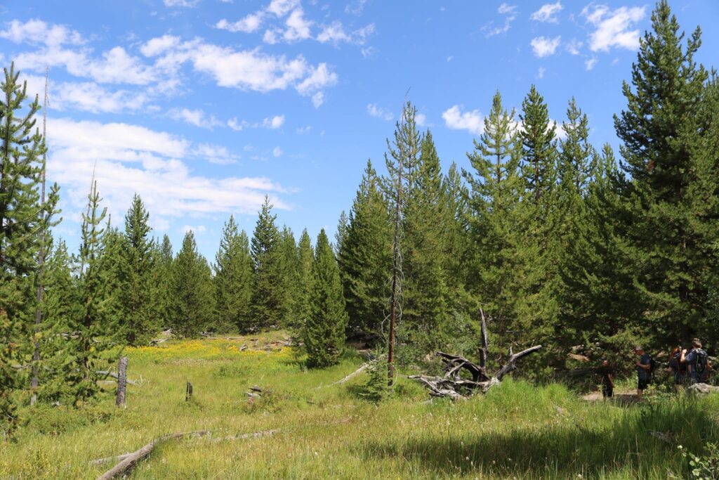
As the trail moves away from the thermal area, the number of Lodgepole Pine trees increased dramatically.Our first look at Fairy FallsThe spray was refreshing on a hot August day.
After returning from the falls, the parking lot for the boardwalk around Grand Prismatic Spring is a very short drive north. I highly recommend combining the hike up to the overlook with this short walk around the spring. The feeling you get as you the heat coming from the earth hits you is surreal.
Number 4-Mt Marcy Summit from Johns Brook Lodge-ADK High Peaks Wilderness, New York
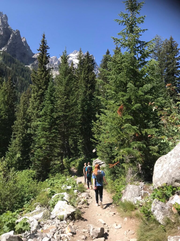
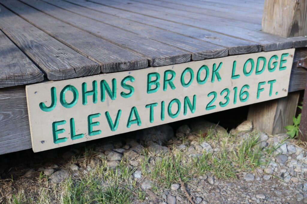
June of 2018-I had just closed out another school year and was excited about the great plans I had for summer. My first adventure was a hiking trip in the Adirondack High Peak Wilderness with a group of fellow teachers from all around WNY. We hiked in and stayed at Johns Brook Lodge for two nights. This lodge was a great starting point for the roughly 11-mile roundtrip hike to the summit of Mt Marcy. Mount Marcy, at 5344 feet, is the highest point in New York State.
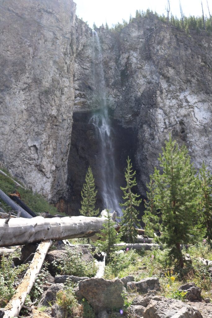
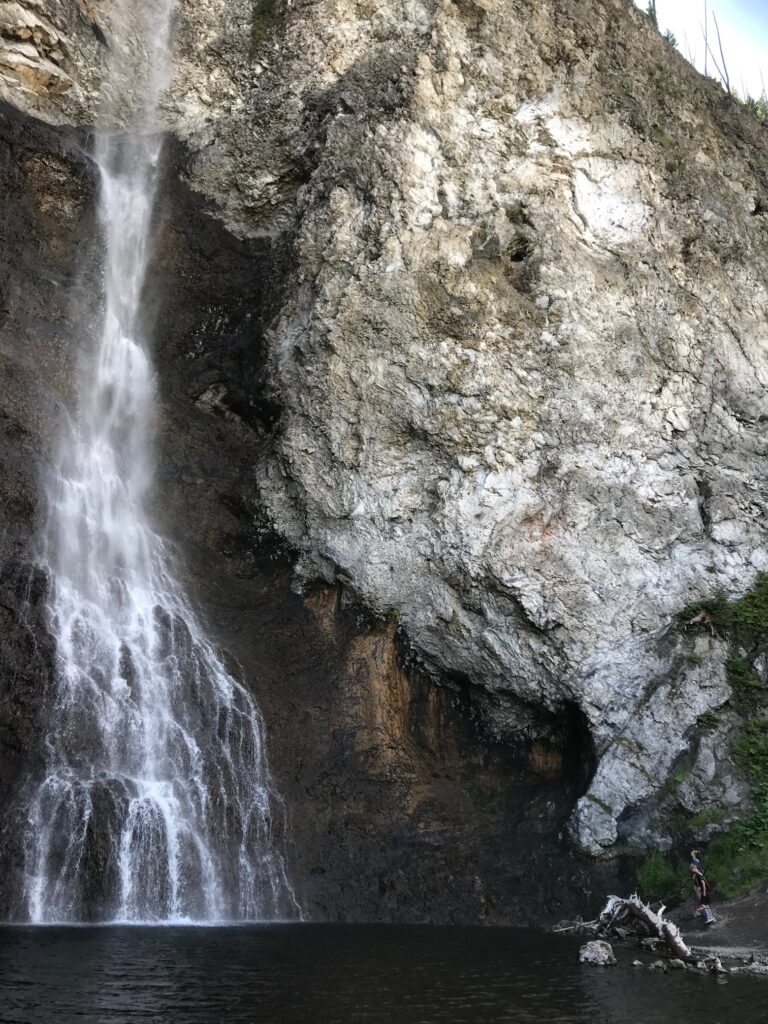
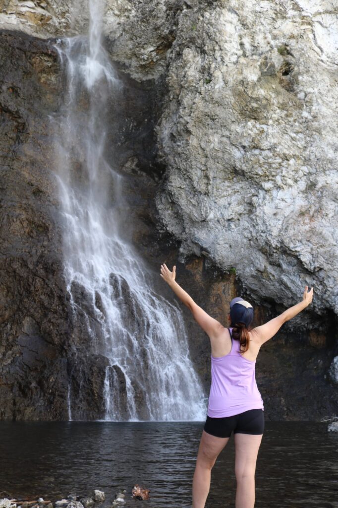
After a great breakfast at the lodge, my friend Mary and I broke off from the group to start out on our hike. After about a mile and a half, there is a short but steep spur trail to take you to the beautiful Bushnell falls. Take the trail! It is well worth it.
Bushnell Falls
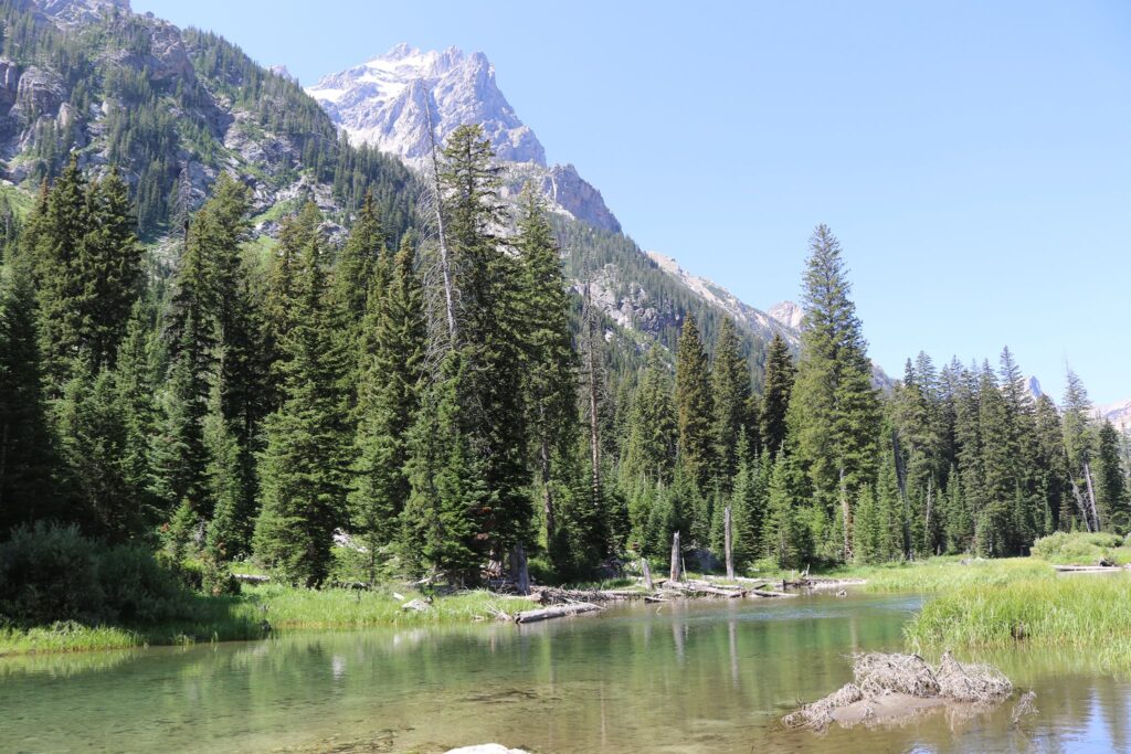
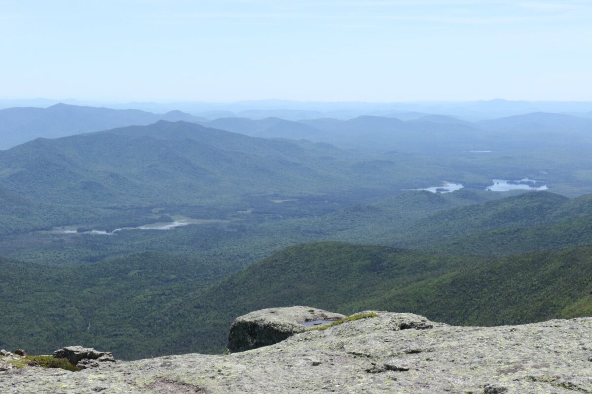
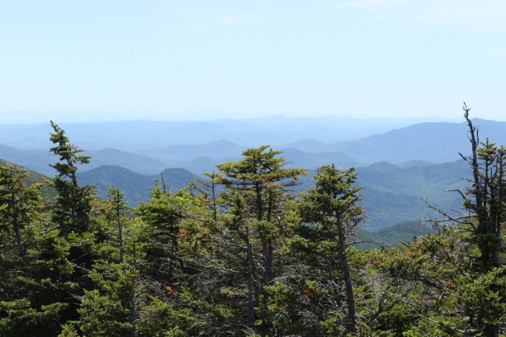
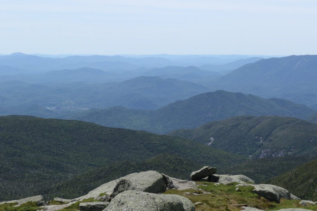
For several miles, we trudged through what appeared to be more of a seasonal stream bed than a trail but our lively conversation kept us going. Before long, we reached a break in the trees where we could assess how far we had ascended by taking in the view.
Our first look at the ADK wilderness from above.
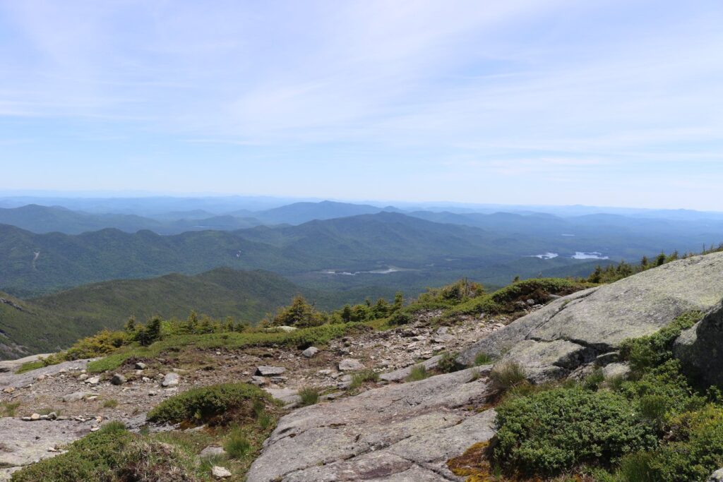
For the last half mile or so, the trail opened up to bare rock. At this elevation, one enters an arctic-alpine zone. This ecosystem contains beautiful and fragile plants. If you hike this trail, please walk only on solid rock to protect these plants.
The view from the top!My friend Mary enjoys the view from the summit after our picnic lunch from the lodge.
We retraced our steps to return to the lodge with plenty of time to relax on the deck before rejoining our group for a hot meal. We were tired and sore but felt immensely accomplished after the completion of this bucket list hike.
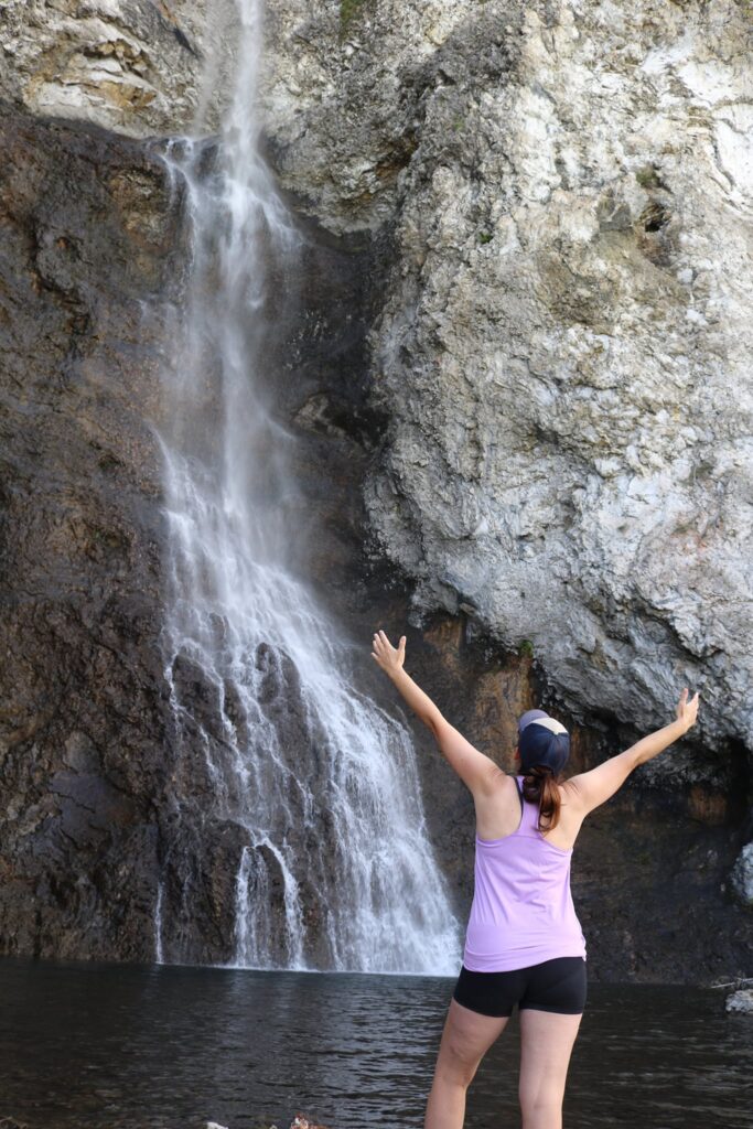
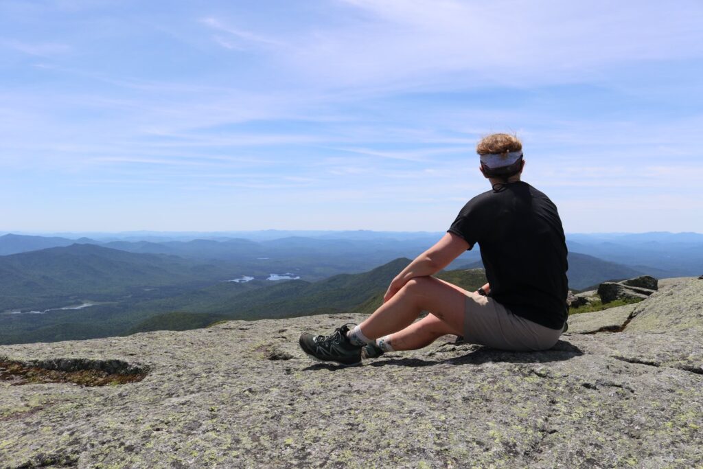
Number 3-Cascade Falls Trail, Pembroke Virginia
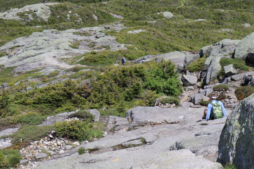
February 2020, I embarked on a whirlwind trip with a good friend. Unlike most of my adventures where the planning is done by me, this trip was entirely planed by my friend Shane and I had the pleasure of enjoying 22 waterfalls and 40 miles of hiking over 5 days! Cascades Falls was the very last hike of a perfect trip which is probably why it was so memorable. The other reason I loved it was because of the suspense that built up as the trail snaked back and both along Little Stony Creek. At every turn you thought maybe the waterfall was just around the bend!
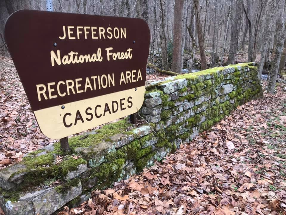
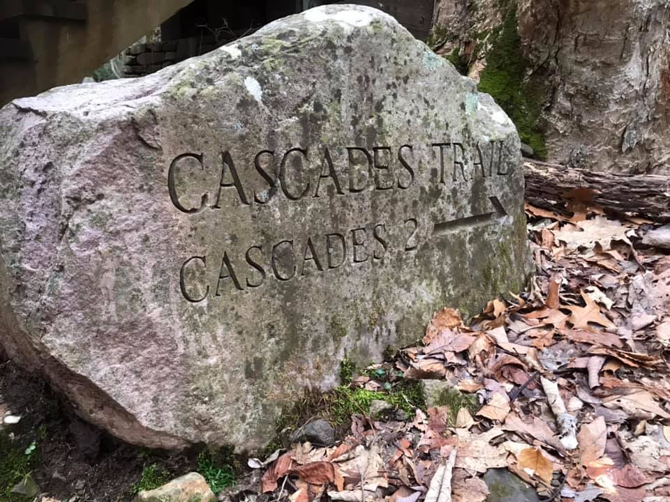
The trailhead for Cascade Falls is just north of Pembroke Virginia in the Jefferson National Forest. You can find the parking lot here. The hike to the falls, on this out and back trail, was just about two miles for a total of 4 miles round trip.
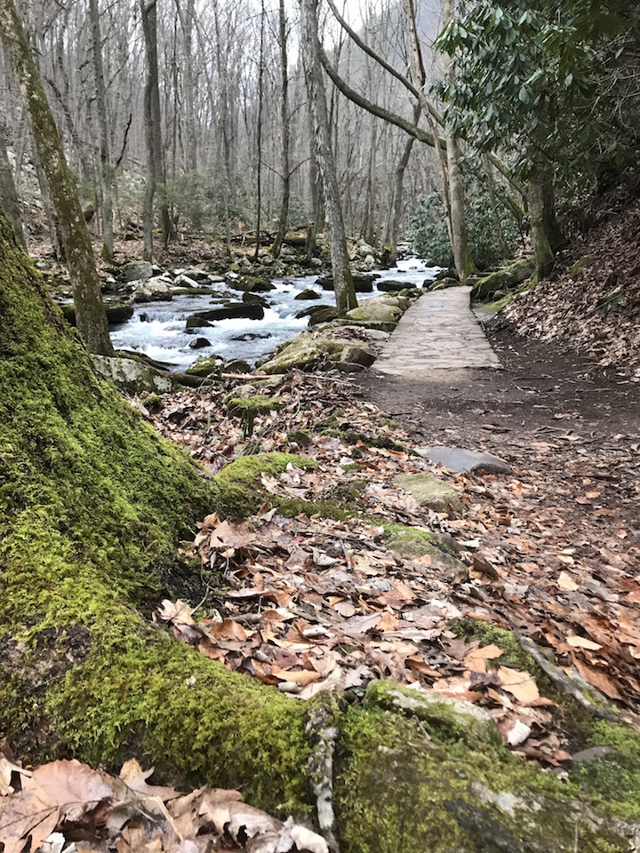
A look at the beautiful Little Stony Creek, not far from the trailhead.
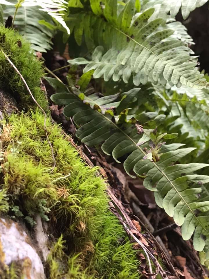
Though it was February, there was still a lot of green on the trail. Mountain Laurel, mosses, and ferns were found throughout the area.
Greenery along the trail.
Not having planned this trip, I was not sure what the waterfall would look like. I was walking a little in front of my friend and thought maybe we had arrived when I saw the falls below, but it was just a pretty little seasonal fall along the trail, not on the main creek.
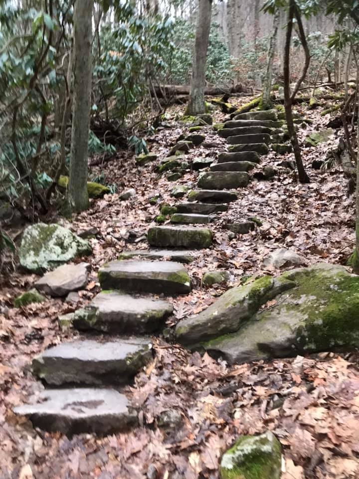
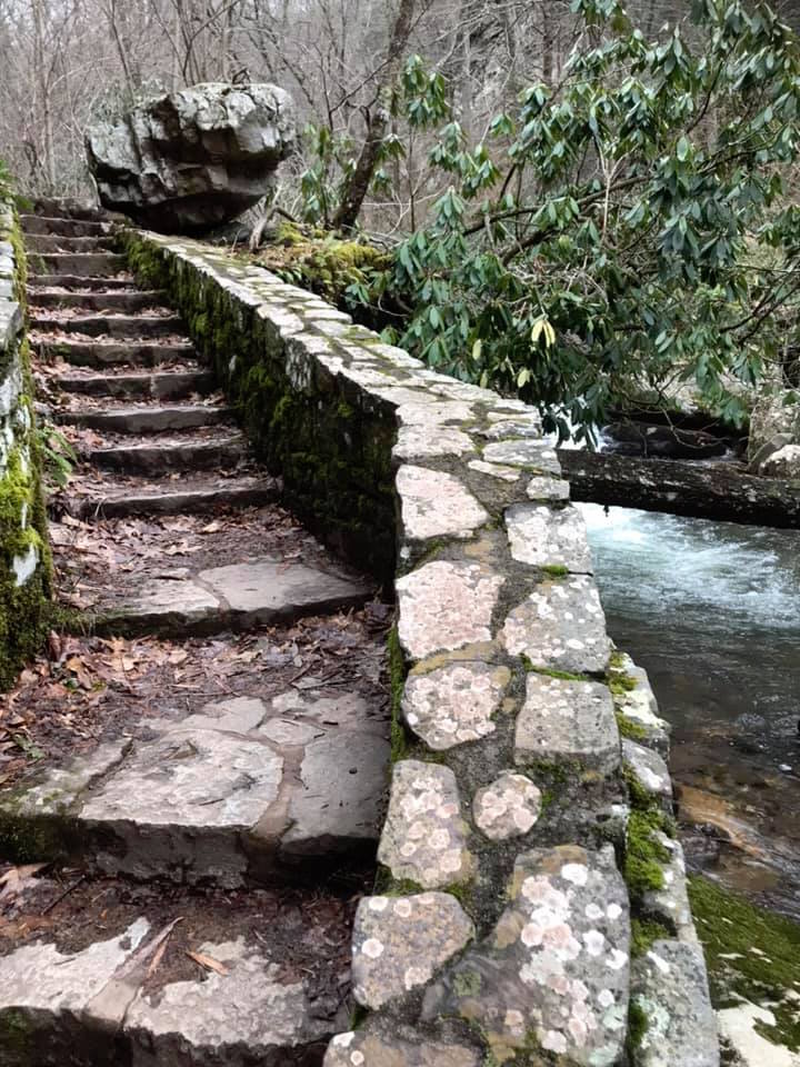
We continued around interesting bends in the creek, often along stone paths like this one below. I tried to discover the origin of this stonework online but only found that the trail was built in the 1960’s. If you know more about who built it, I would love to know!
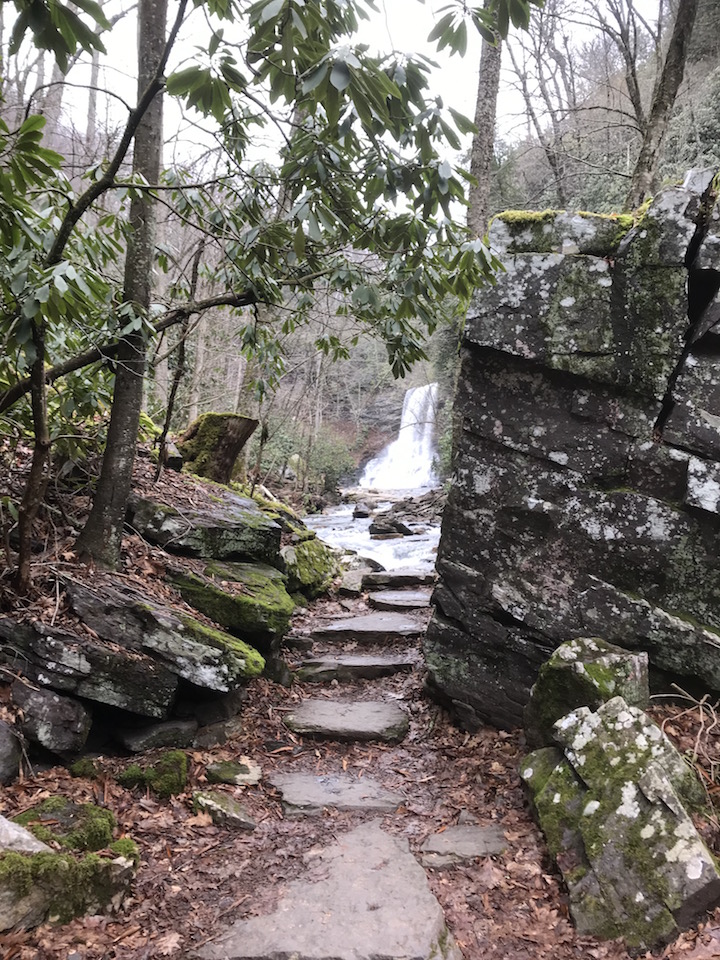
And then finally, around the corner, the waterfall appears!
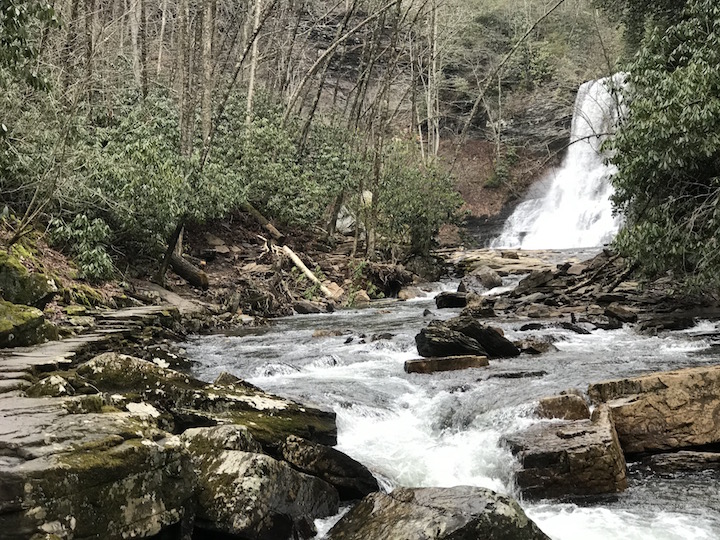
The 66′ Cascade Falls
I was fortunate to have the gift of time to sit and watch the cascading water for awhile. This hike, this trip, this moment were all truly worth waiting for. I was happy to relax and enjoy it.
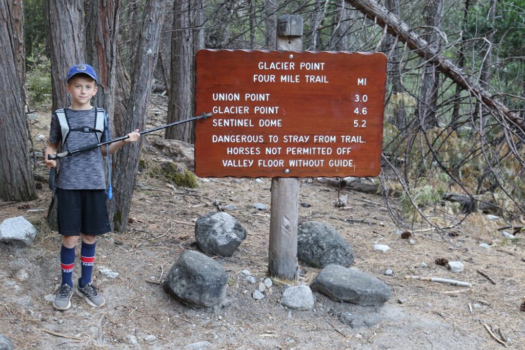
Number 2-Four Mile Trail, one-way from Glacier Point to Swinging bridge, Yosemite National Park
Tunnel View. Our first stop on the drive up to Glacier Point.
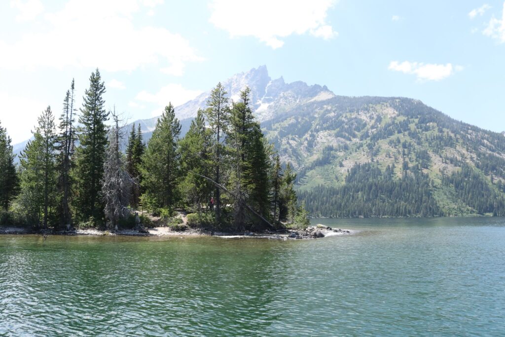
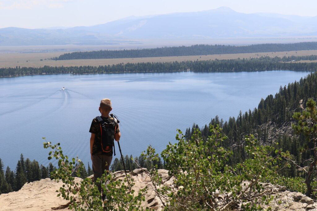
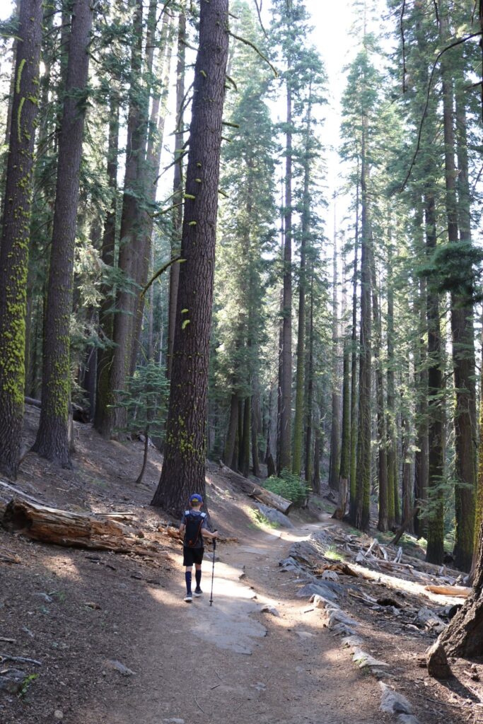
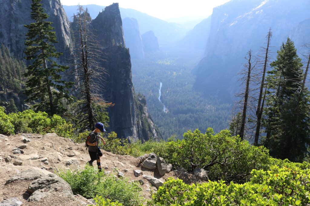
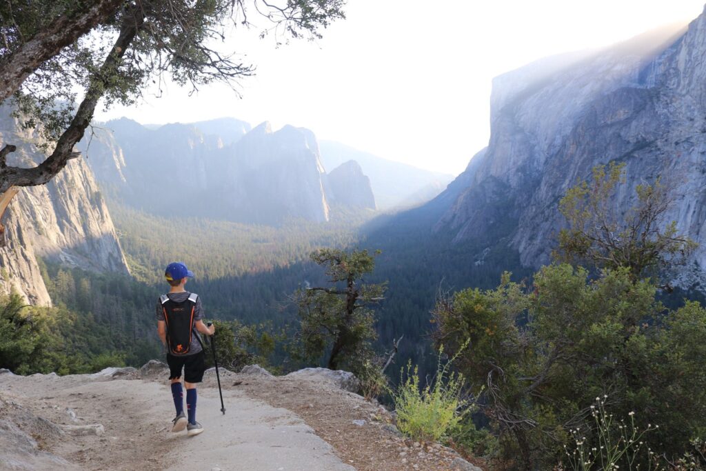
In July of 2019, we took a family trip through northern California that ended in Yosemite National Park. I really wanted to hike this trail, but with kids in tow, knew that going down would be the only way to convince them it was worth it. You can book a shuttle for a one-way drive up to Glacier Point from the valley, but they were all sold out. My husband wanted me to have this experience so he drove us up to the top and my youngest child volunteered to be my hiking partner. The two older kids were happy to get a ride back down. This trip made the list not just for it’s sweeping views of an incredible landscape but also for the memory of the time spent with my son and the tradition this hiked started for us. Every trip we have taken since, he asks if we can do a hike, just the two of us.
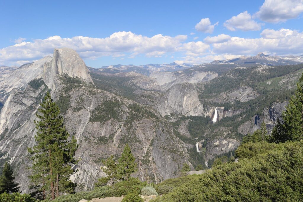
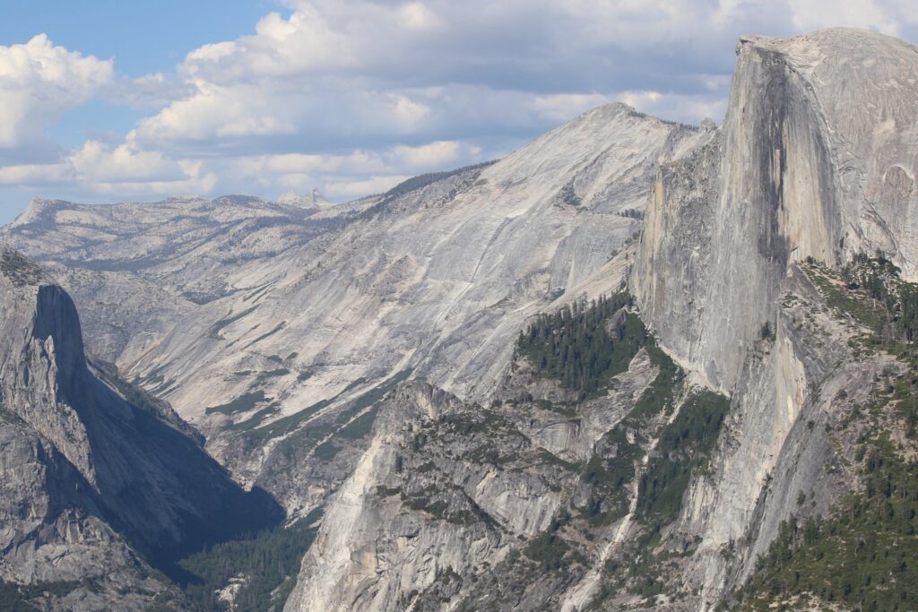
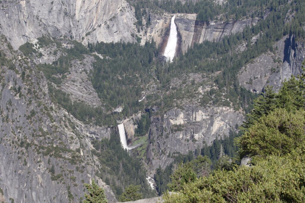
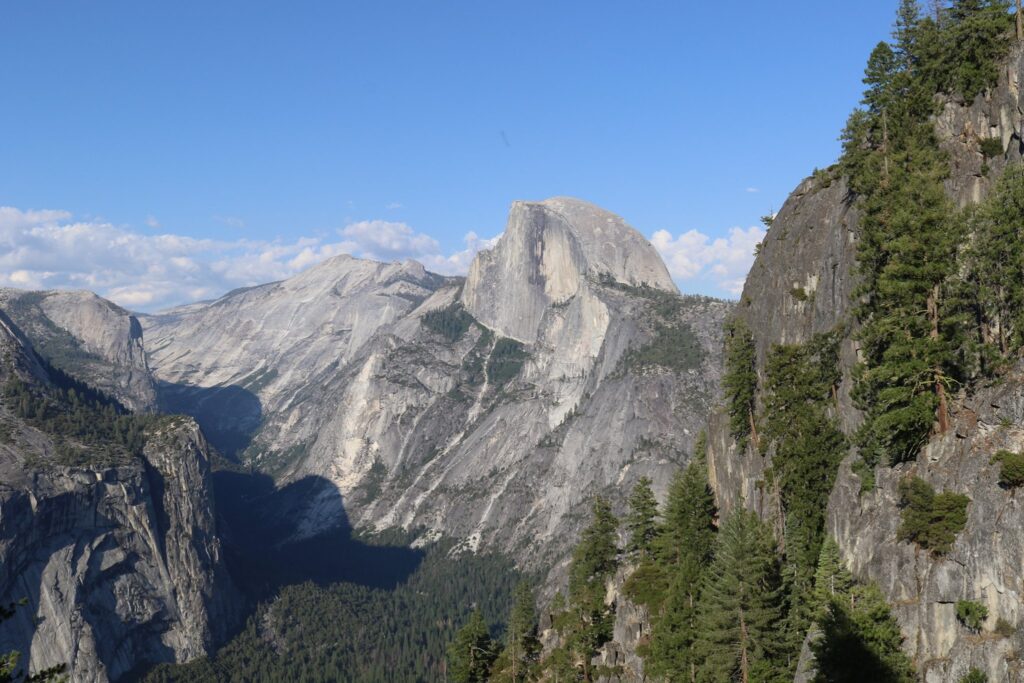
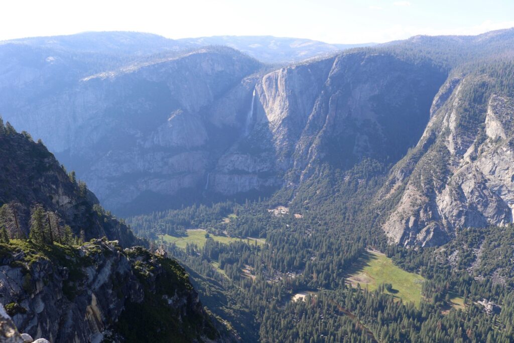
The spectacular view from Glacier Point. Half dome is on the left. Vernal falls and Nevada Fall are on the right.Close up of Half Dome, hovering over the valley.Close up of Vernal falls and Nevada Fall
After taking in the view from Glacier point and stopping in the gift shop to buy popsicles, we were ready to head down the trail. The trail started out wooded but soon opened up to sweeping views of the valley below.
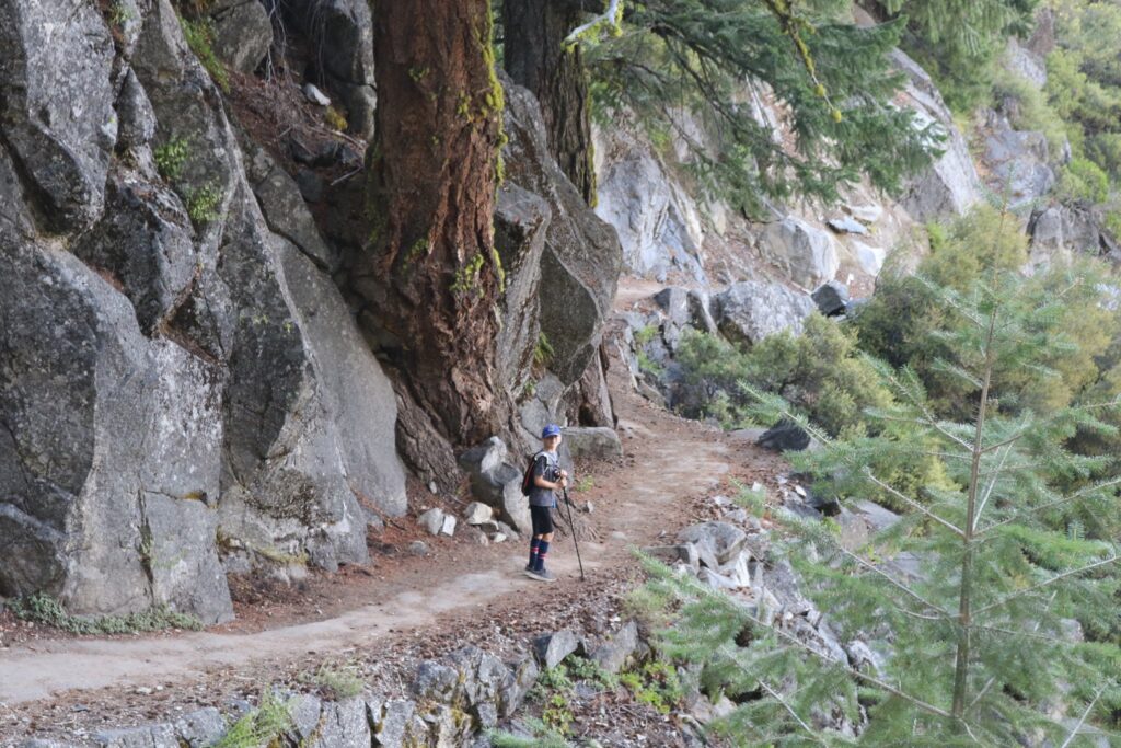
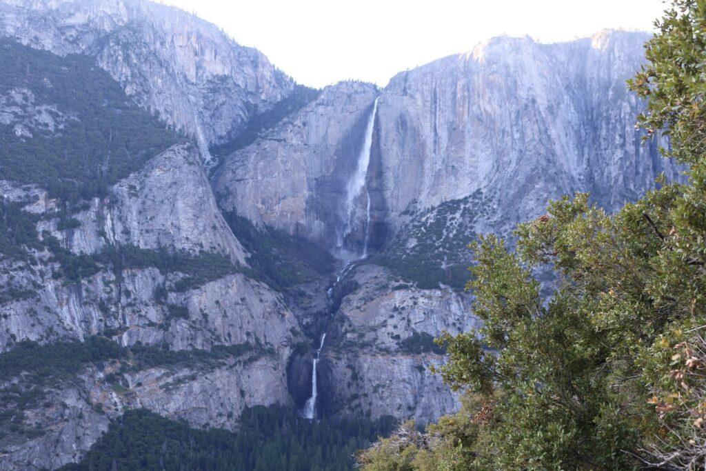
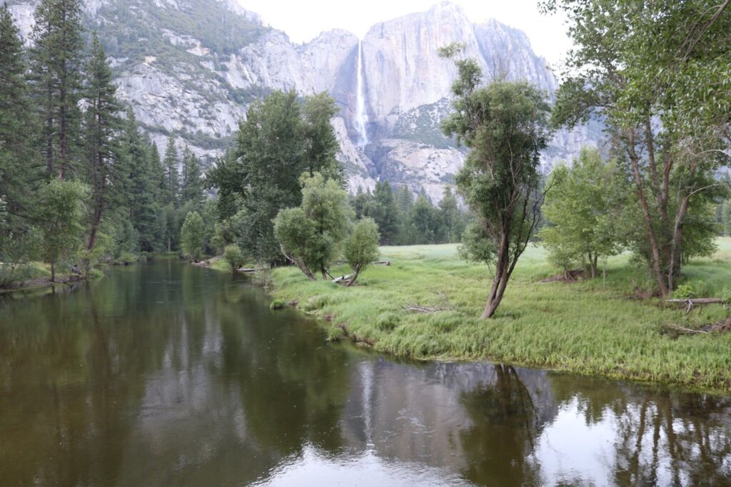
As we made our way down the switchbacks in the trail the view continued, Half Dome, Yosemite Falls, El Capitan, Yosemite Falls, repeat.
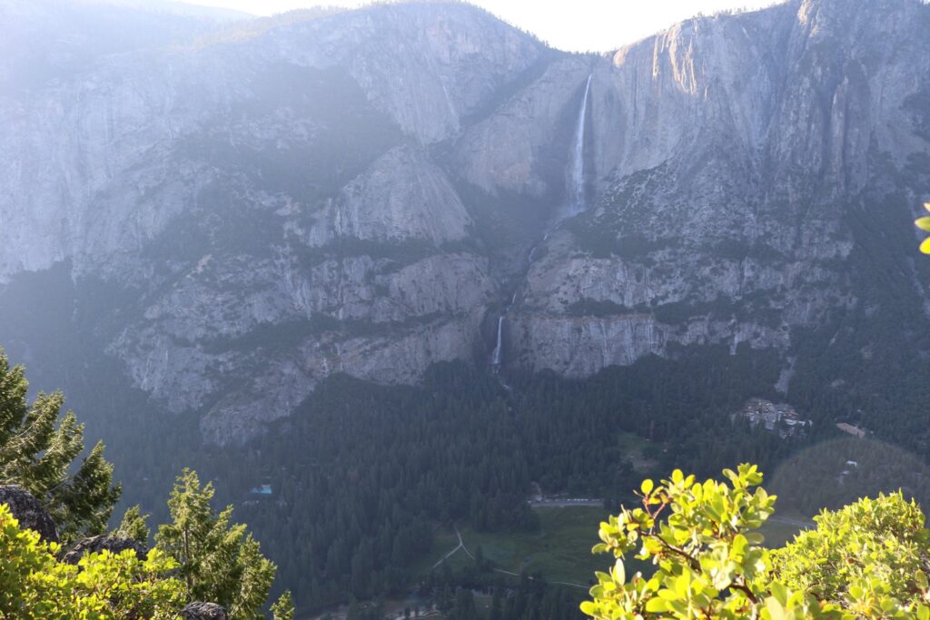
Closeup of Upper and Lower Yosemite falls
It was a great hike. We took advantage of magic hour on the mountain and still made it down with plenty of daylight left. Once back in the valley, my mileage tracker told us we had hiked just over 6 miles. So much for the 4-mile trail!
We crossed over the Merced River at Swinging Bridge and headed back to the lodge for a big dinner with the rest of our family.
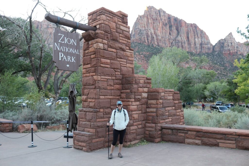
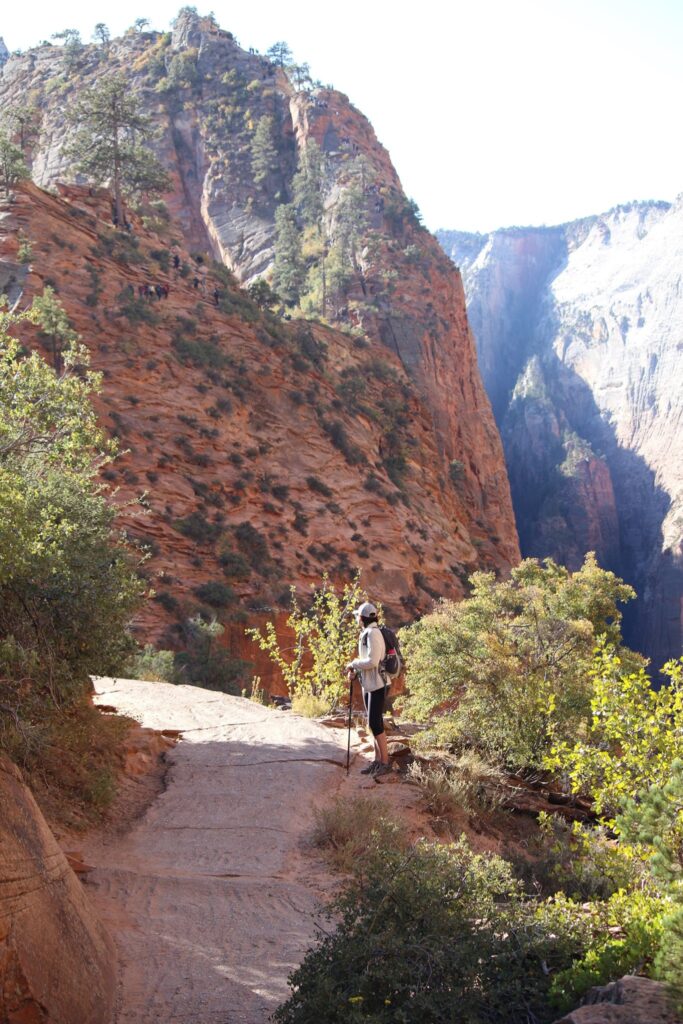
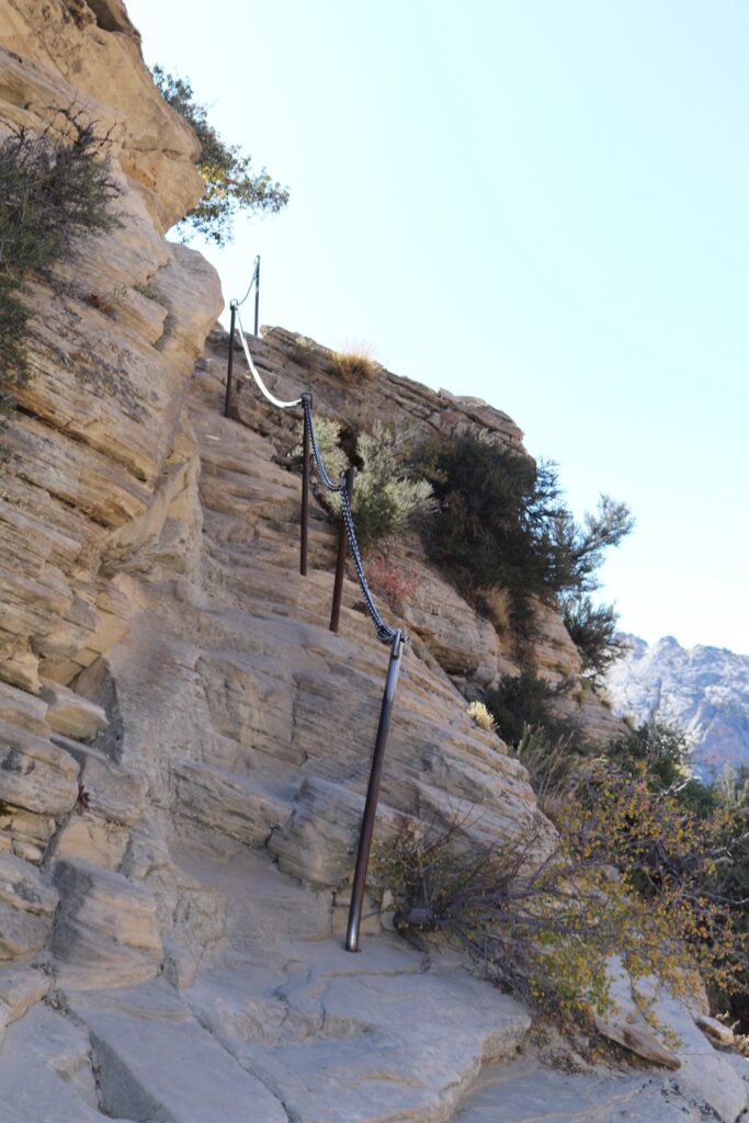
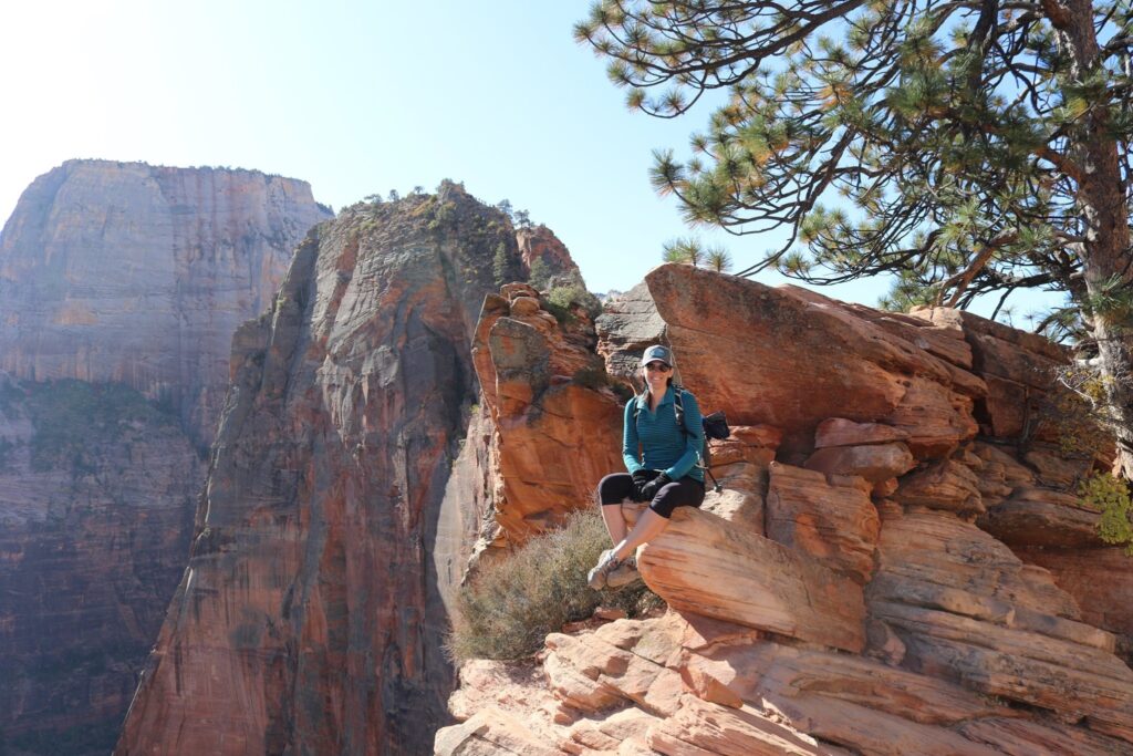
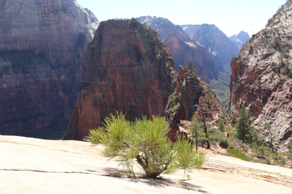
Number 1-Angel’s Landing, Zion National Park, Utah
My husband and I have always climbed things. On our very first trip together, we stopped at a roadside attraction because the sign said: “Climb our tower!” In Astoria Oregon, we climbed their column. On our honeymoon, we climbed the Arc D’ Triumph. Our daughter climbed the stairs of the Eiffel Tower as a fetus. Space Needle, Sears Tower, World Trade Center, CN Tower, Empire State Building…..we have climbed them all. So it’s fitting that we started climbing mountains. If there is a hill in life to get over, we will do it together. So my favorite hike of all time was climbing Angel’s Landing for our 15th wedding anniversary.
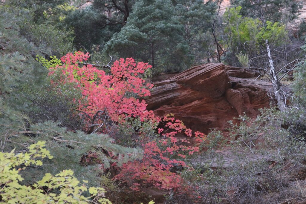
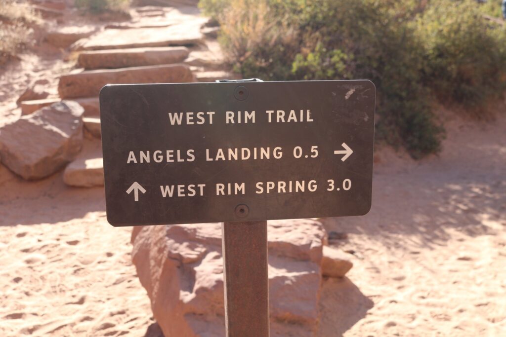
This trail, located in Zion National Park, is no easy feat. Though only about 5 miles round trip, what it lacks in distance, it makes up for in elevation gain! I first heard of this trail on our family trip to Zion in 2017. I really wanted to climb it, but not with the kids. I decided then that I would just have to return to Utah in the next few years!
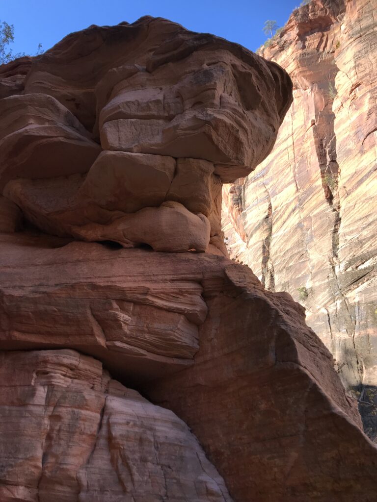
In October, there was still plenty of green foliage, but signs of fall were spreading.I look forward as we approach the first set of switchbacks.Here we paused to examine our progress.A look at the red rocks of Zion on a stretch of the trail known as refrigerator canyon.As we continue to climb, the trail snakes back through the canyon behind us.
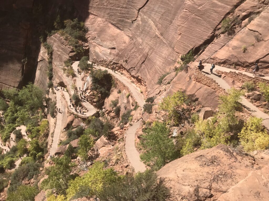
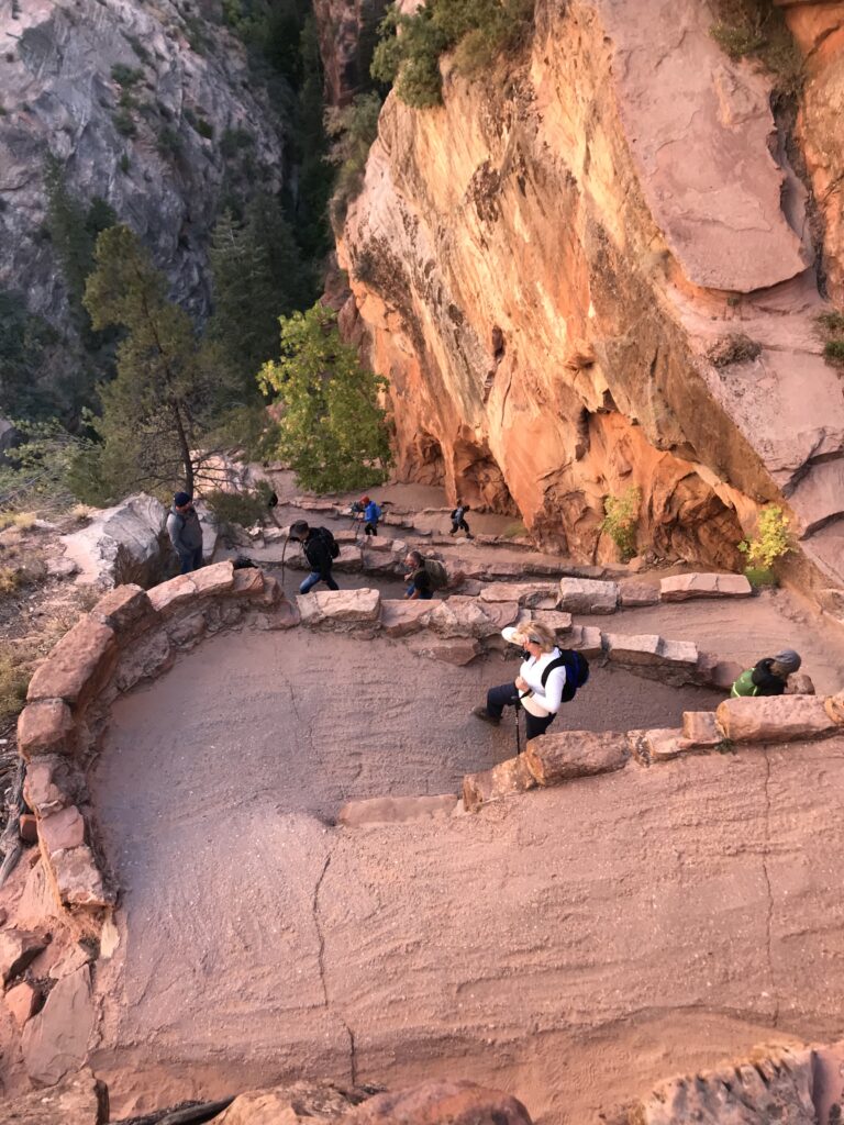
This first leg of the trail continues to gain steadily in elevation ending with the super steep switchbacks know as Walter’s Wiggles. This part of the trail is pretty wide and affords hikers nice views. It terminates at Scout Lookout and some people choose to pause here and then head back down.
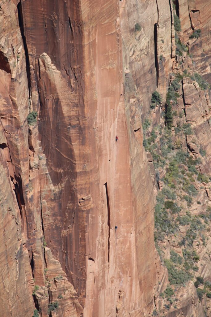
A look at other hikers ascending the wiggles.
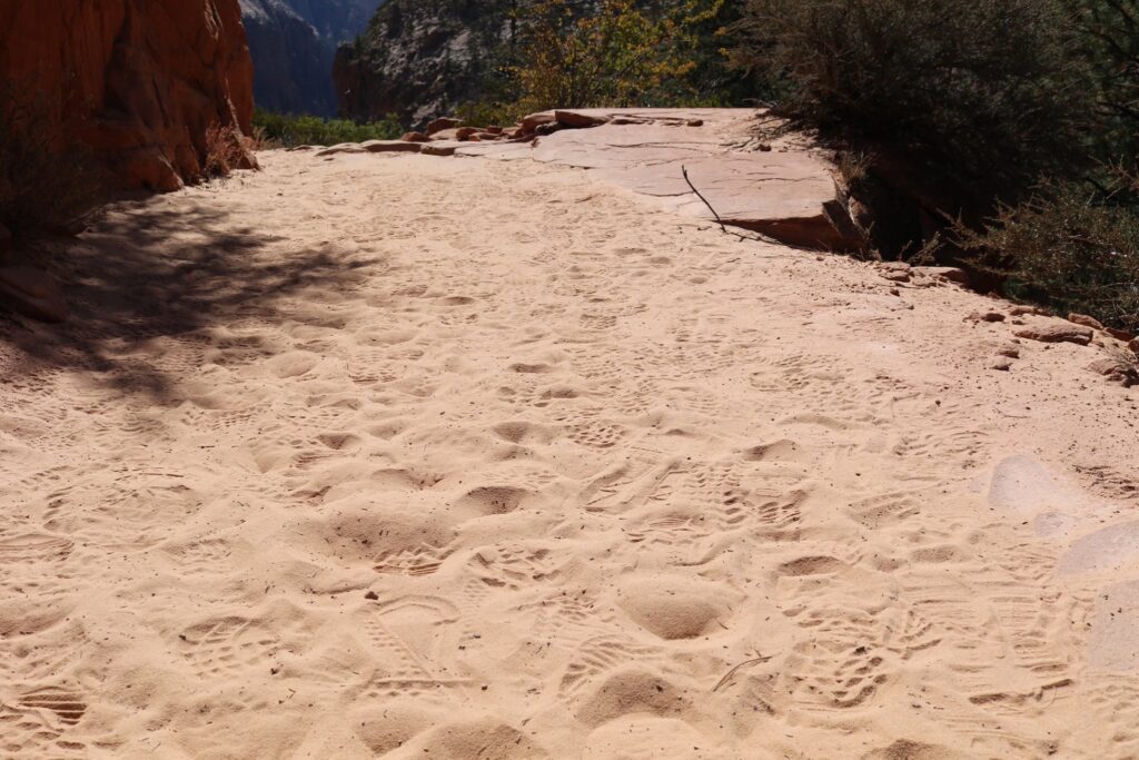
The sandy “boot road” at Scout Lookout. This a good place to rest before heading out to the Landing.
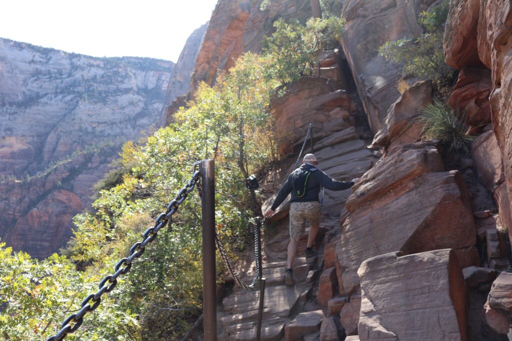
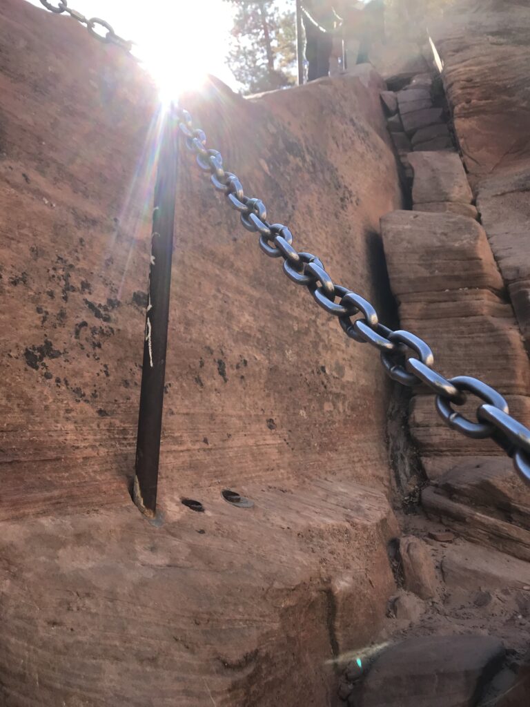
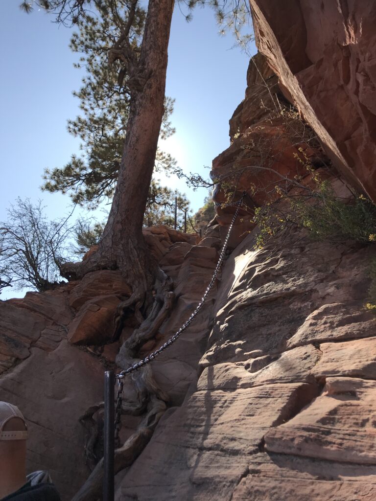
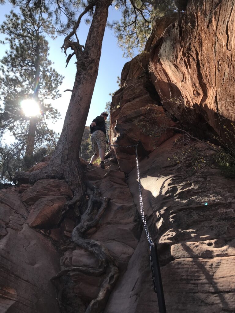
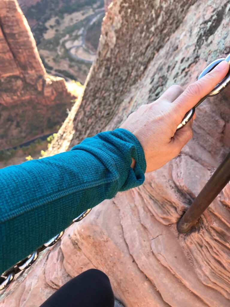
Chains along the final leg of the trail were put in by the National Park Service to improve the safety of this hike.
Views along the way as we get closer!
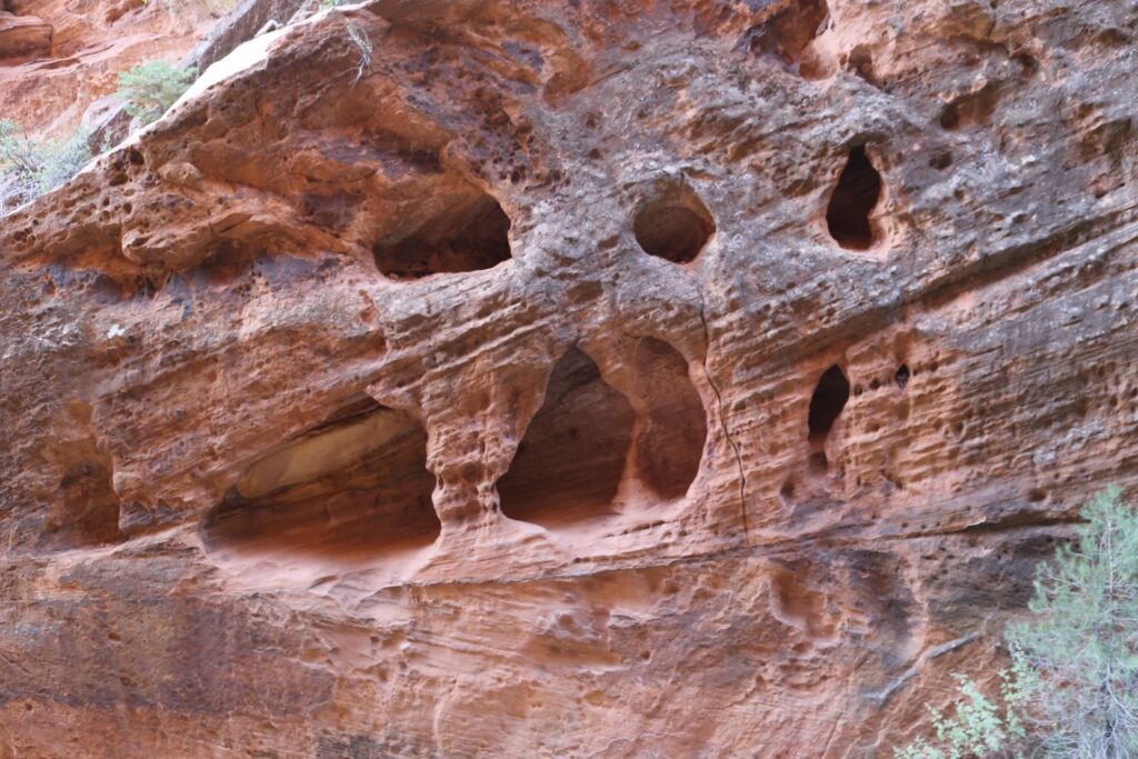
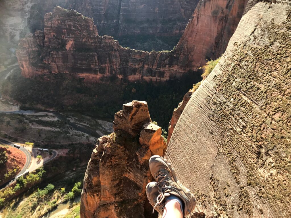
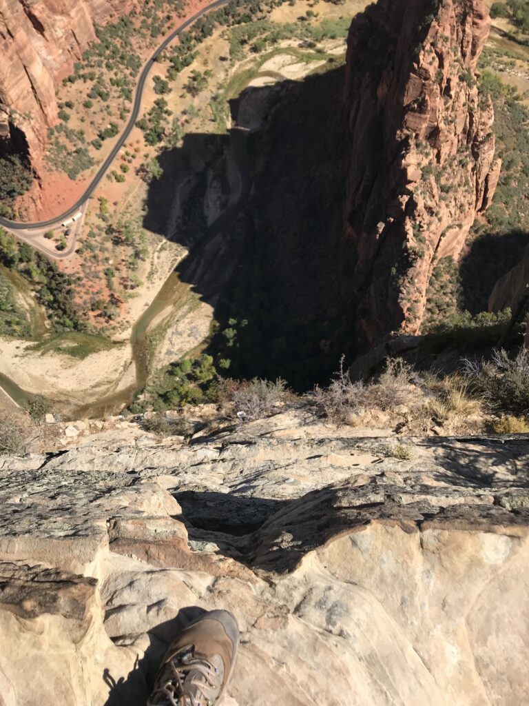
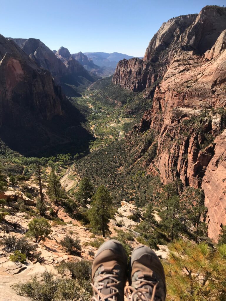
The rocks were beautiful and popular with climbers. Look closely at the photo on the right!The canyon comes into view again in front of us.The view from the top!
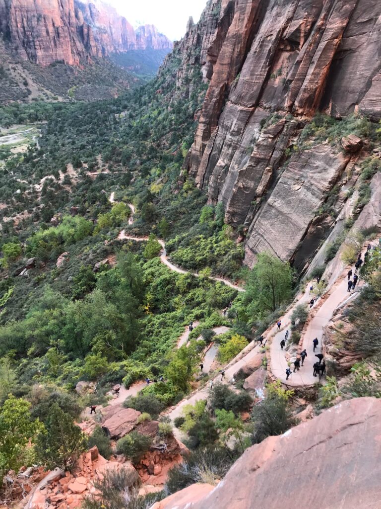
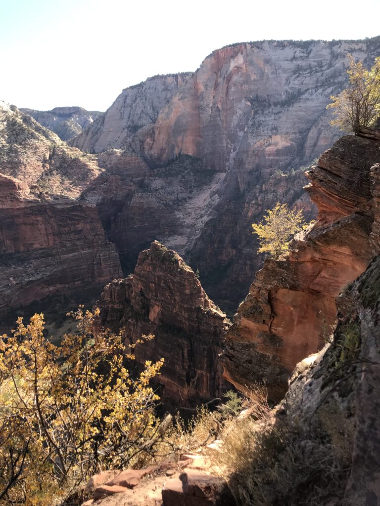
Before heading back down, we paused on this stretch of rock. There was no one else on this lesser-traveled stretch of trail heading away from Angel’s Landing. We watched as the mid-day crowds arrived at Scout Lookout and scurried up Angel’s Landing in front of us and we marveled at this little evergreen, growing out of such adversity. It was a perfect moment to appreciate how far we had come and a reminder of our own triumphs over adversity.
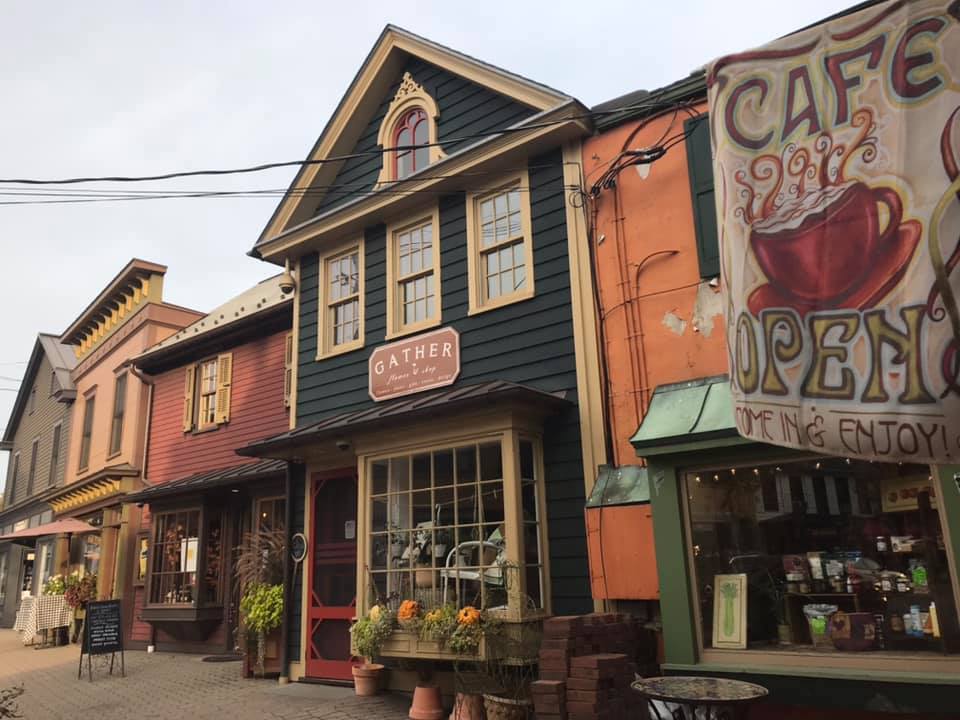
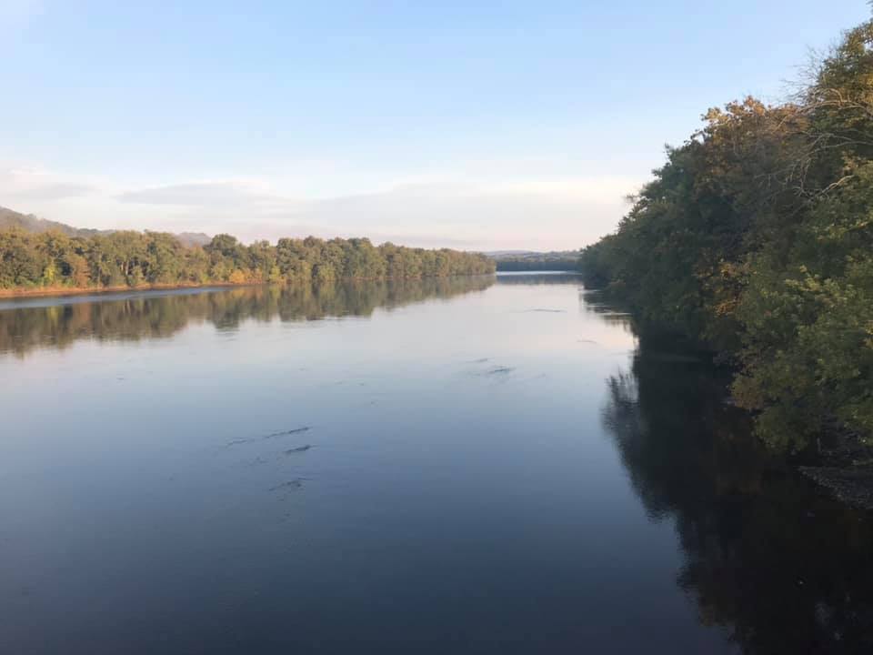
October 2020 brought us to Frenchtown, NJ for a couple’s weekend while the kids stayed with Oma for the weekend! Why Frenchtown? It was within a 6-hour drive, had plenty of outdoor activity nearby, and was in a state that did not require us to quarantine after we returned! I did a quick google search for the best small towns and Frenchtown met our requirements! Frenchtown sits right on the Delaware River which forms the border between western New Jersey and eastern Pennsylvania.
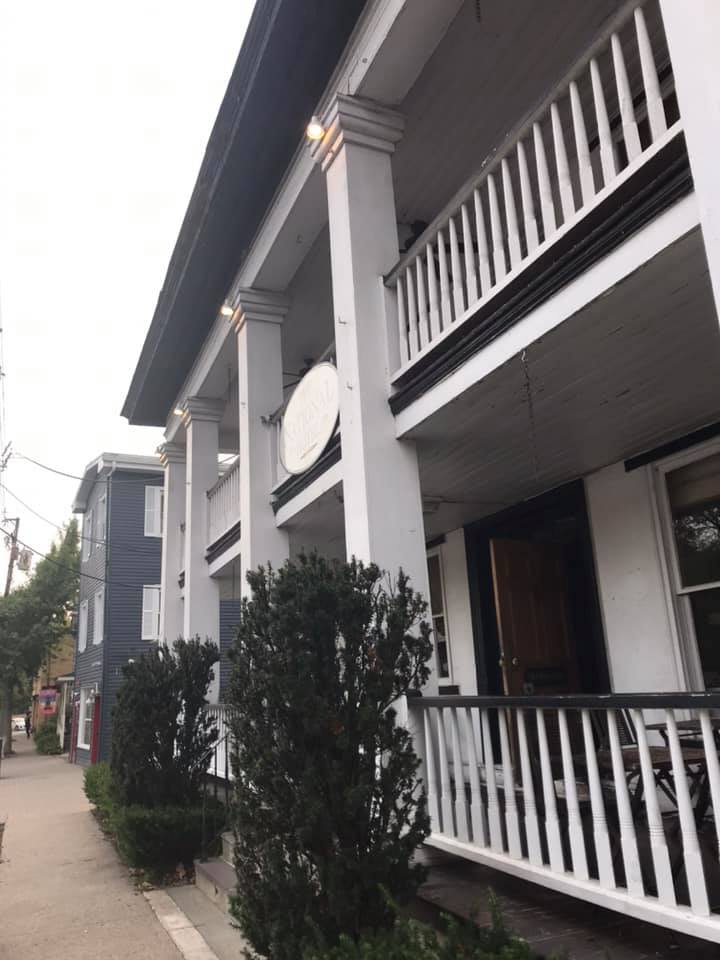
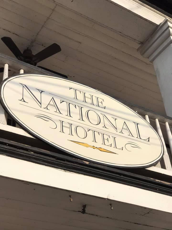
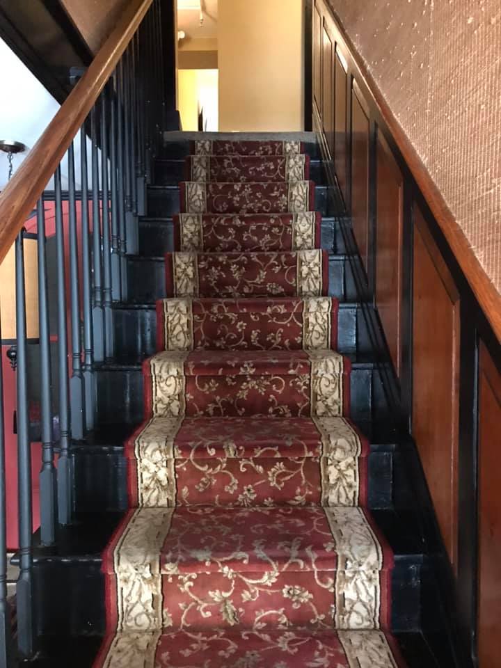
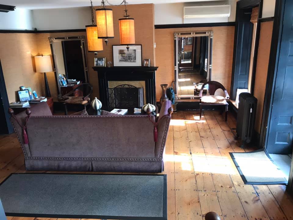
I booked three nights at the National Hotel. We arrived after 9:00pm the first night, but the dining room was open until 10:00. I loved the feel of renting a room above the restaurant in this old hotel. The service was great and the staff were all friendly.
Facade, stairs, and lobby of the National Hotel
Day 1
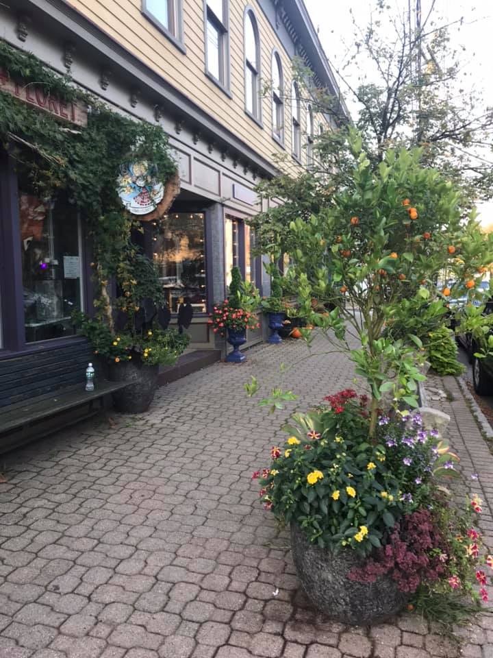
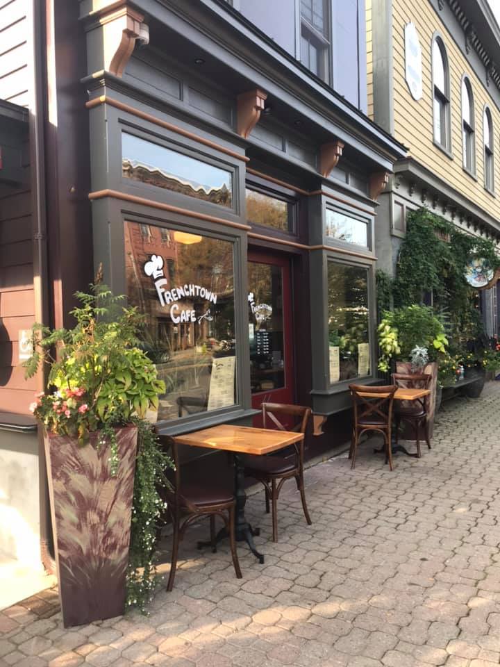
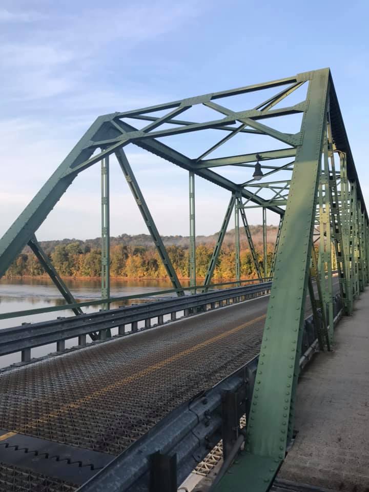
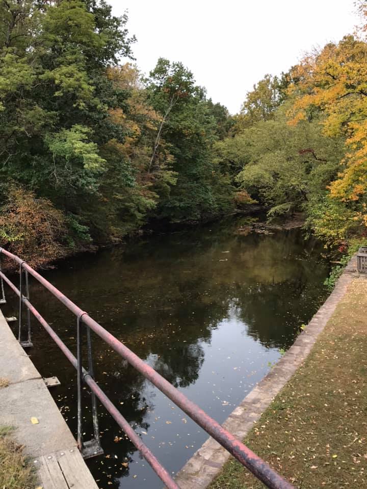
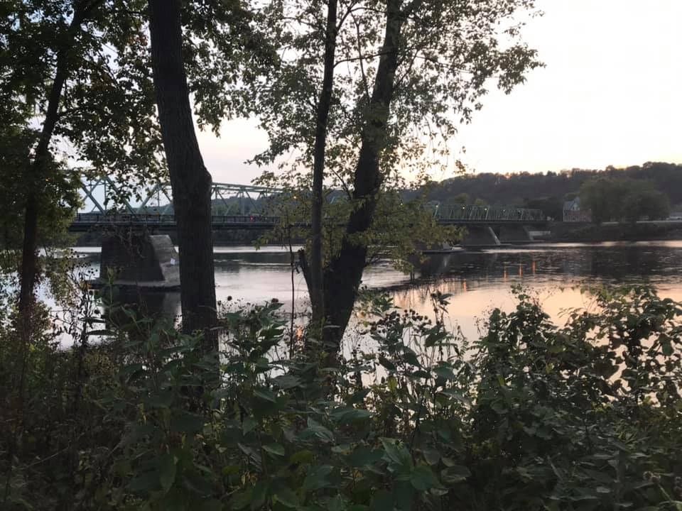
The next day was a beautiful fall day. We took a walk along the Delaware River and the Uhlerstown-Frenchtown bridge which crosses the river. Then we had breakfast at the Frenchtown Cafe before heading out on our bikes to explore the Delaware and Raritan bike path.
Sidewalk in front of the Frenchtown Cafe
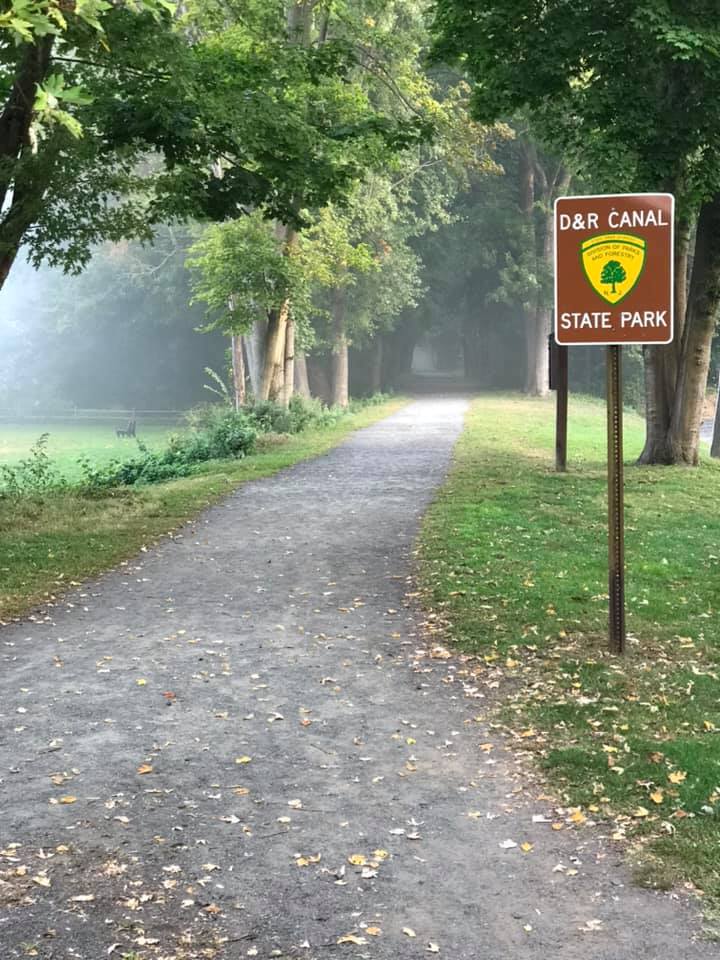
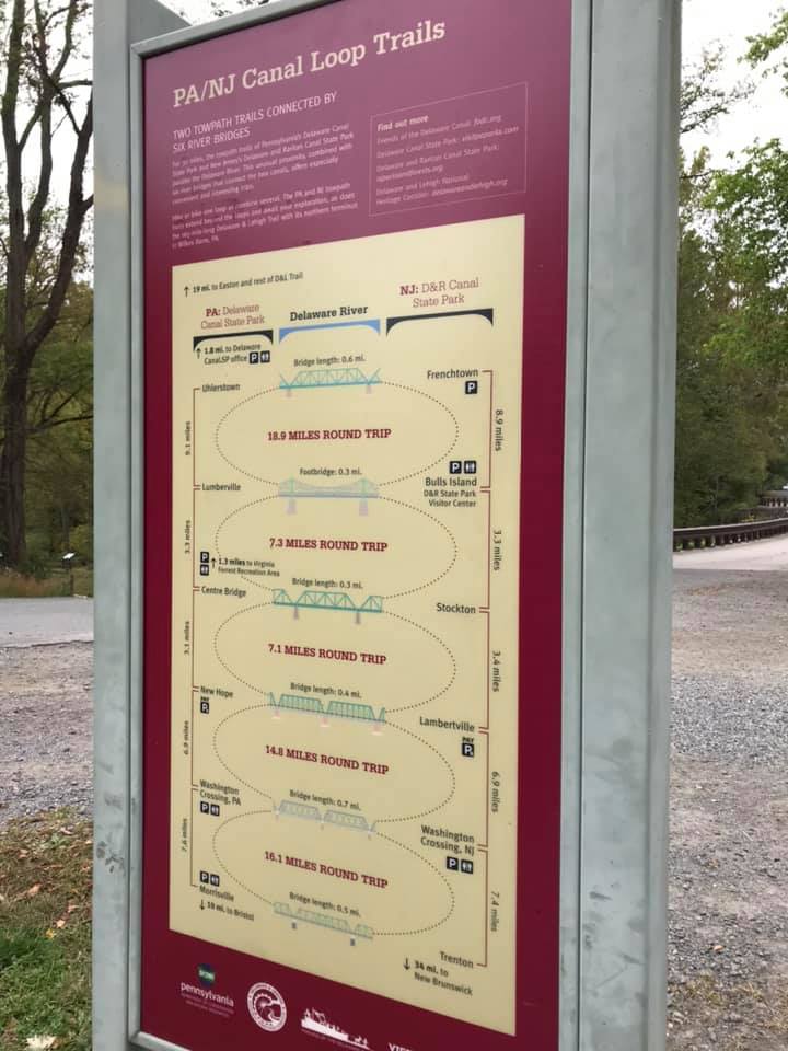
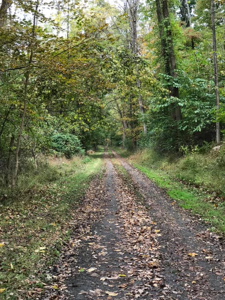
The bike path! Wow, what a great find. There are actually two paths, one on each side of the river. The D&R Canal towpath trail is on the New Jersey side and the Delaware Canal towpath trail is on the Pennsylvania side. Both paths are about 60 miles long and there are multiple bridges across the river so you can spend a few hours or a whole day making a loop or figure 8’s along the trails.
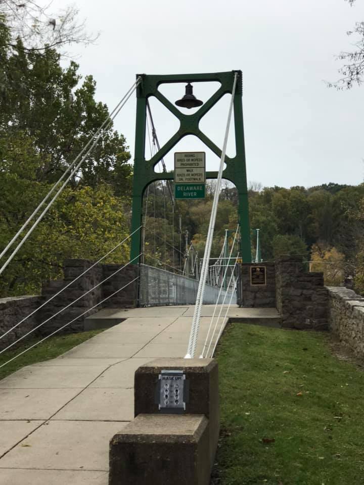
bike path near parking in Frenchtown, great orientation sign along trail, a pedestrian bridge crossing
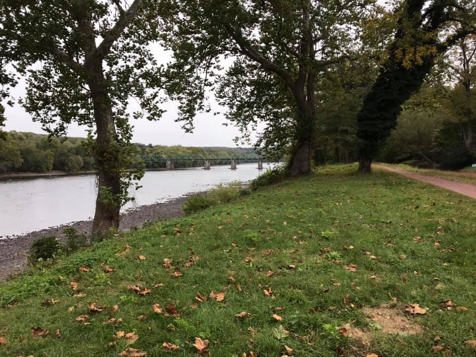
There was beautiful scenery on both sides of the Delaware river. The New Jersey side was wider, with the Pennsylvania side often being only wide enough for a single bike, but both sides were equally scenic.
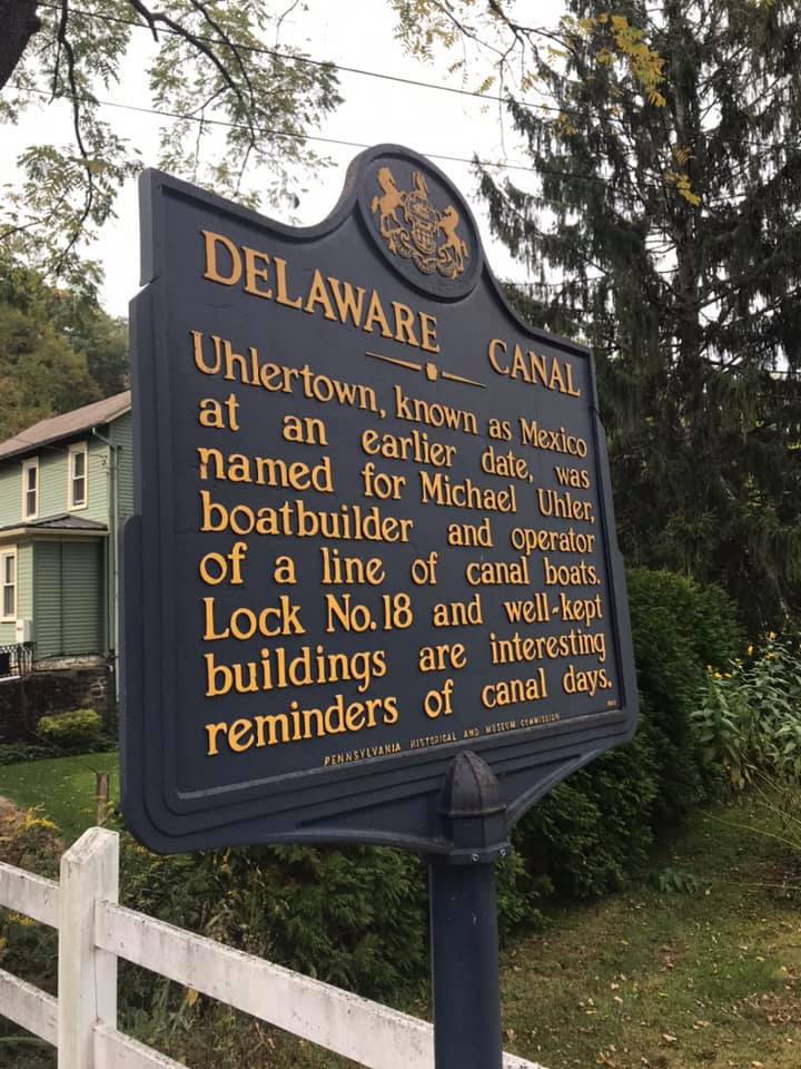
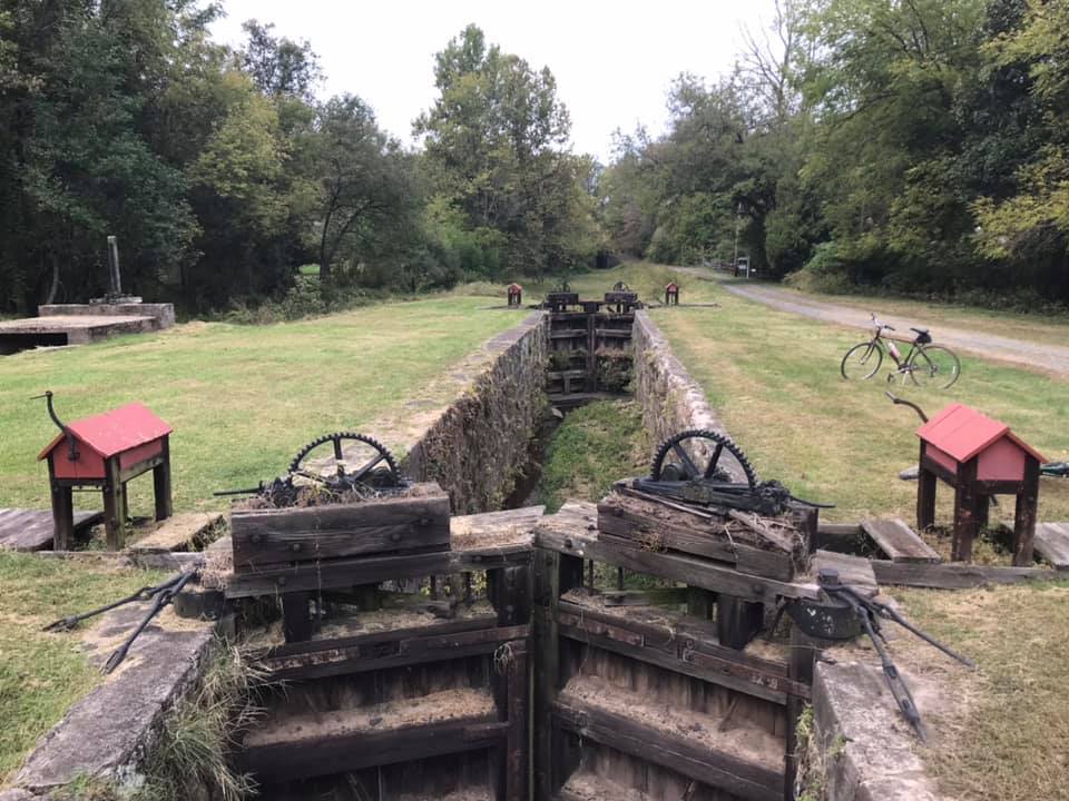
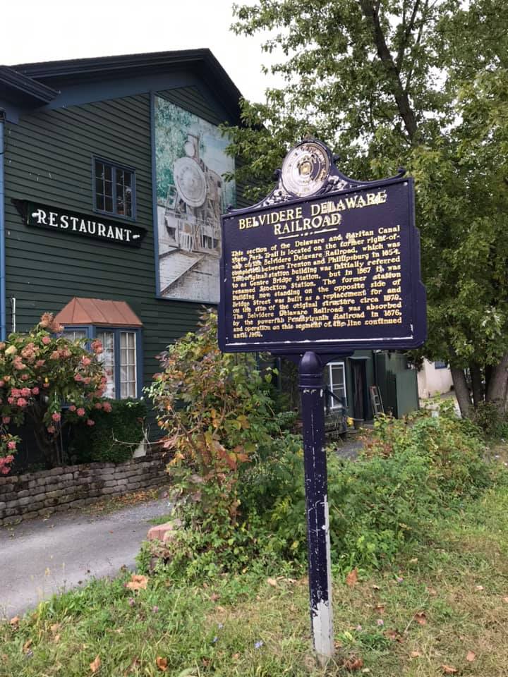
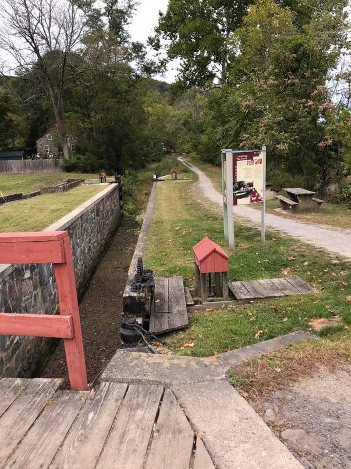
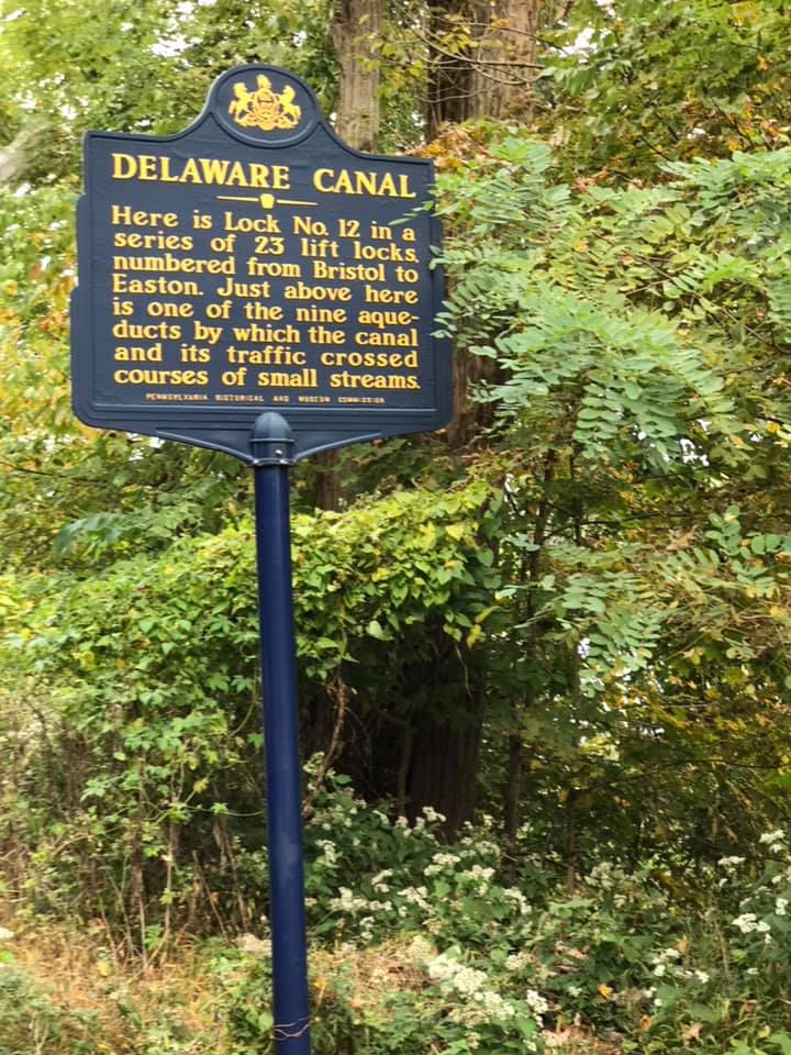
There were a lot of well preserved remnants of the the days when canals in this area were essential for bringing resources to manufacturing centers during the industrial revolution. The D&R canal transported freight between Philadelphia and New York. The Delaware Canal has retained most all of its features from its operations in the 1800’s even though the last paid canal fare was in 1931 when railroads overtook canals as a means of efficient transport.
There was no shortage of interesting historical markers or quiet places to stop and rest along the trail.
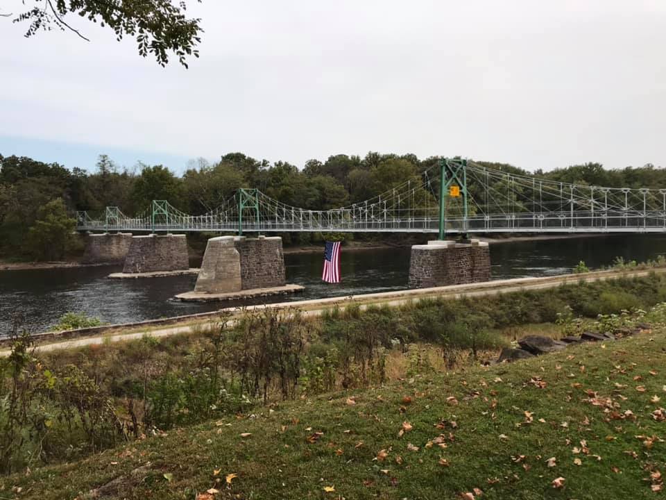
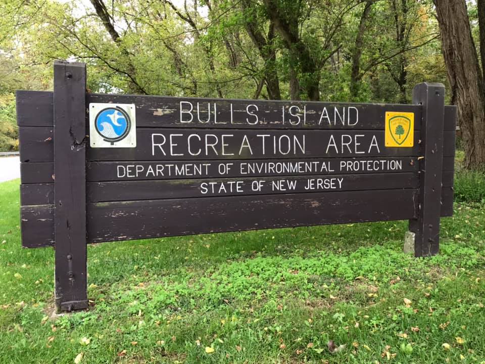
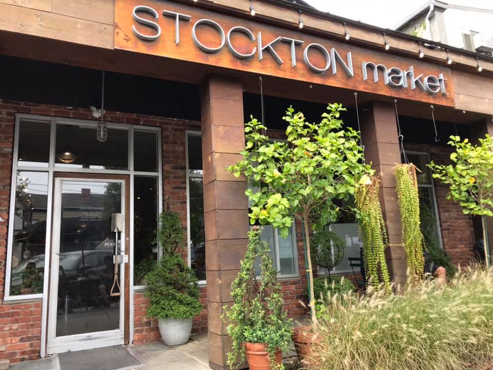
We rode our bikes from Frenchtown on the D&R towpath trail to the pedestrian bridge at Bull Island. We crossed the river here but continued south and crossed again to arrive in the quiet town of Stockton, NJ. We stopped for lunch at the Stockton Market, an indoor farmer’s market with an eclectic mix of offerings.
Sign at the entrance of the Bull Island Recreation area along the tow path bike trail.Stockton Market, indoor farmer’s market
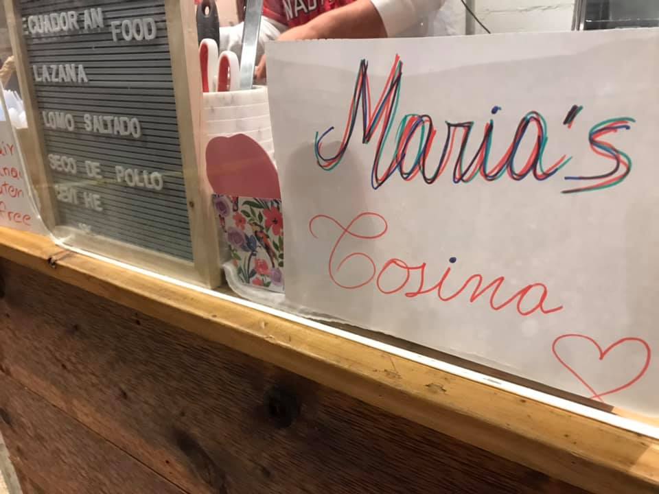
Ecuadorian “lazana” for lunch!
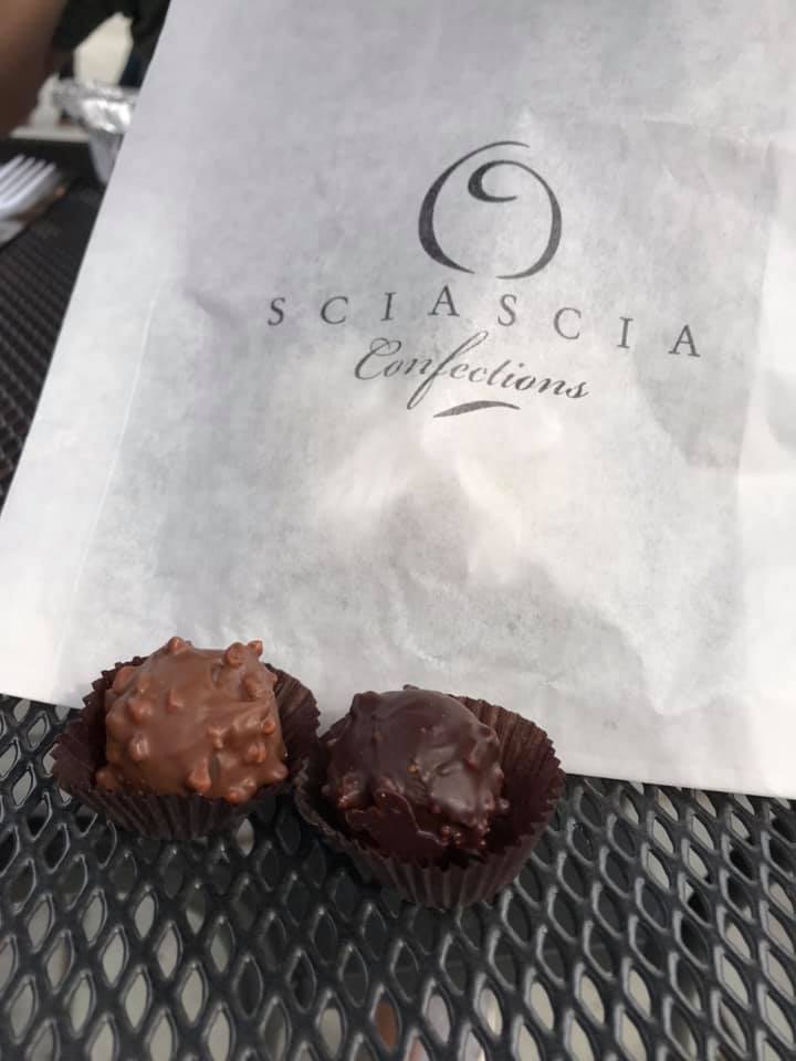
Dessert from the chocolate counter!
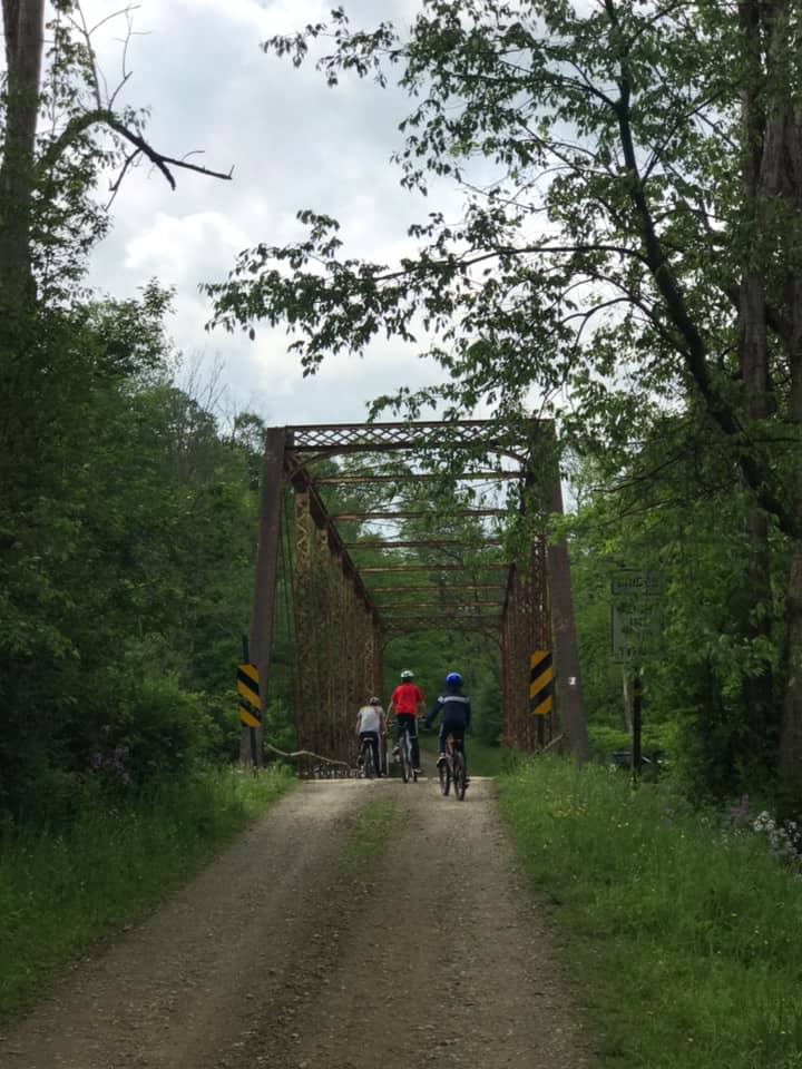
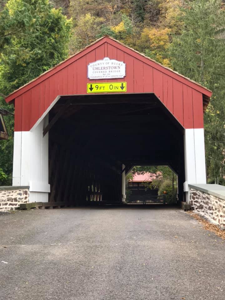
After lunch we headed back north, crossed the pedestrian bridge again to bike up the Delaware Canal towpath trail on the Pennsylvania side of the river. We finished 28 miles of biking with a great covered bridge before crossing one more time back into Frenchtown.
Uhlerstown, PA covered bridge
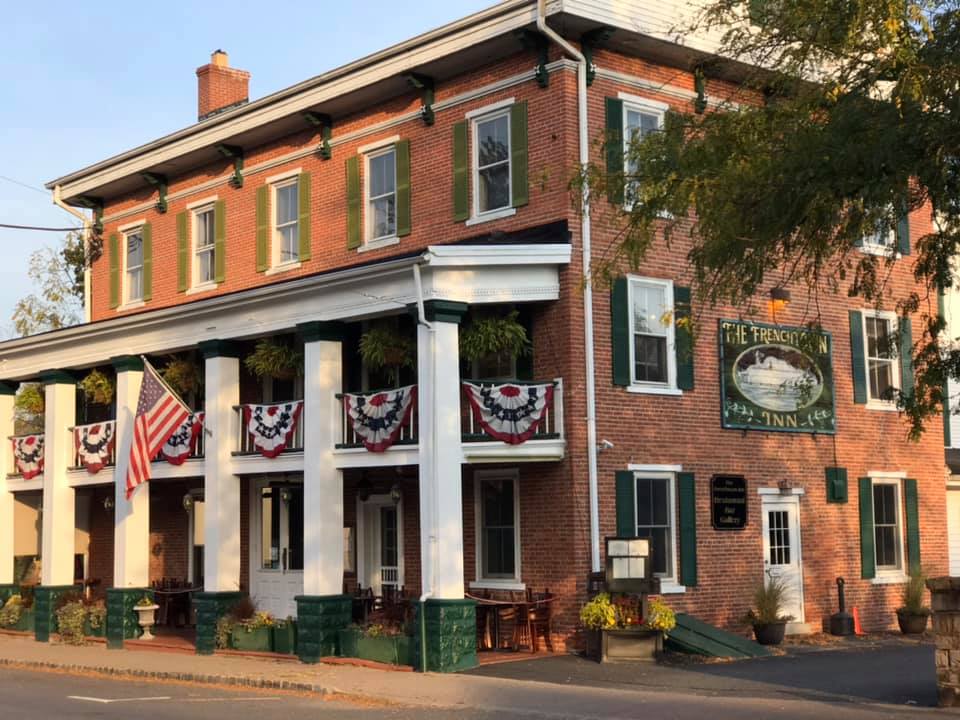
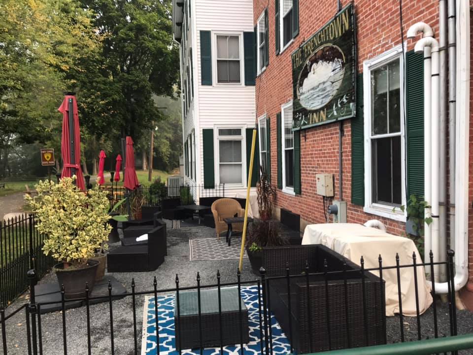
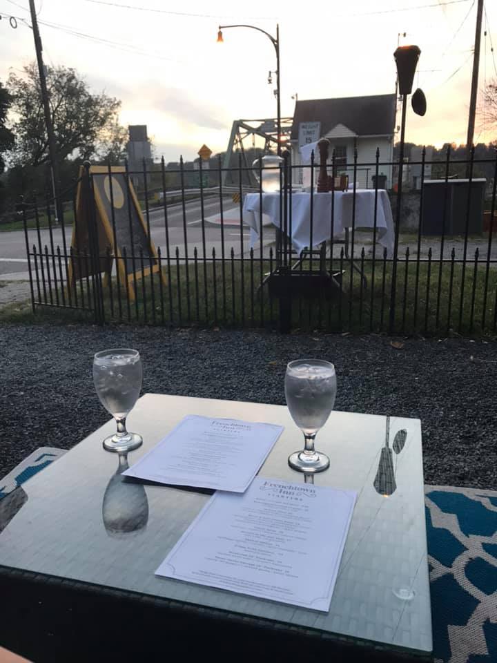
After our busy day of biking, we dined at the Frenchtown Inn. To encourage greater social distancing, they converted outdoor space into a unique dining experience. It was a relaxing meal with a view of the bridge and the Delaware River.
Dinner at the Frenchtown Inn
Day 2
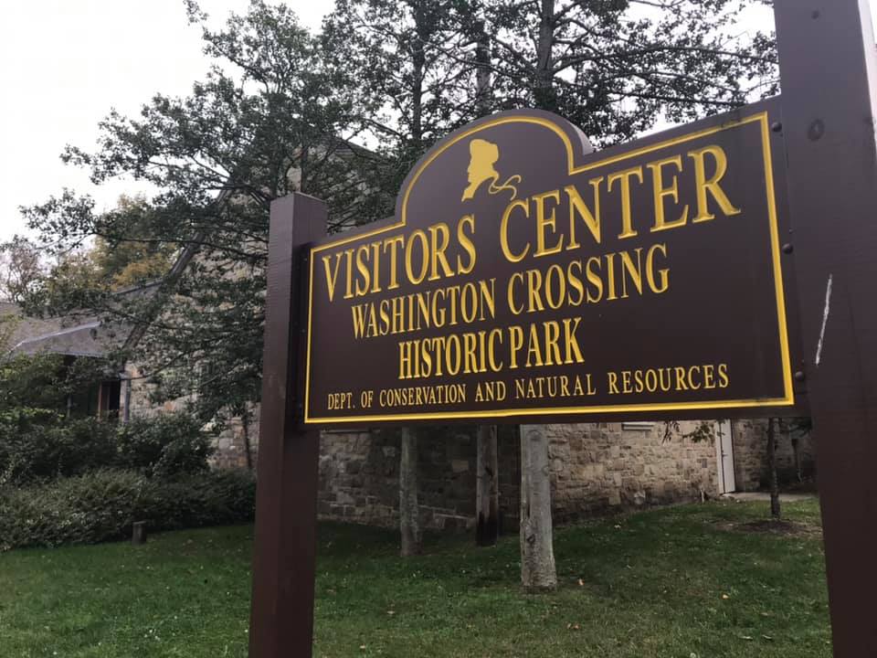
Day 2 was a drive to investigate a nearby county park, the surrounding area, and Washington Crossing Historic Park.
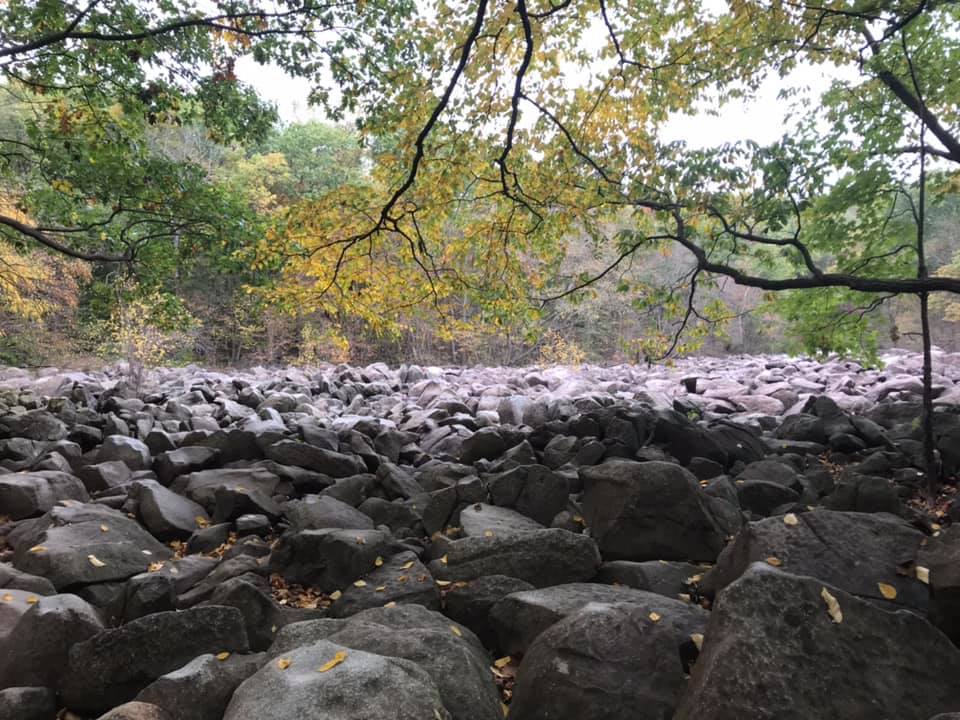
First stop-Ringing Rocks Park
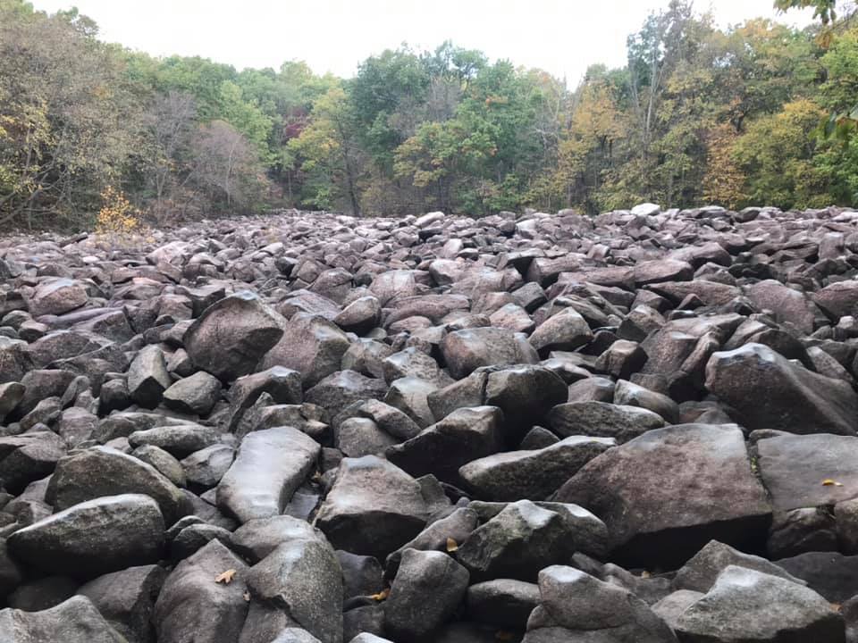
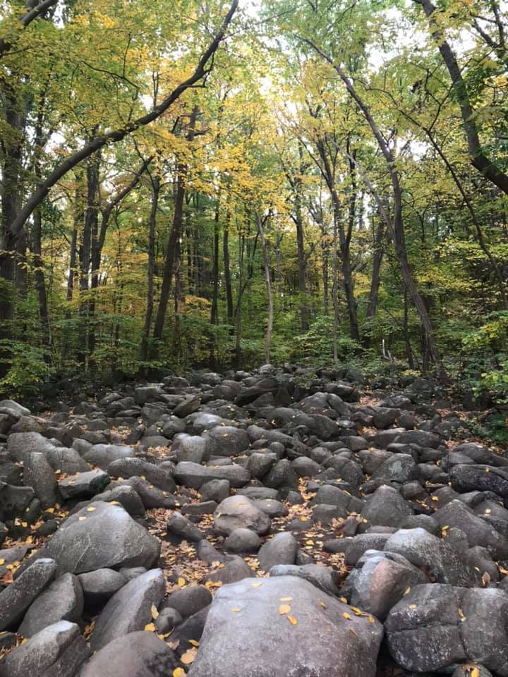
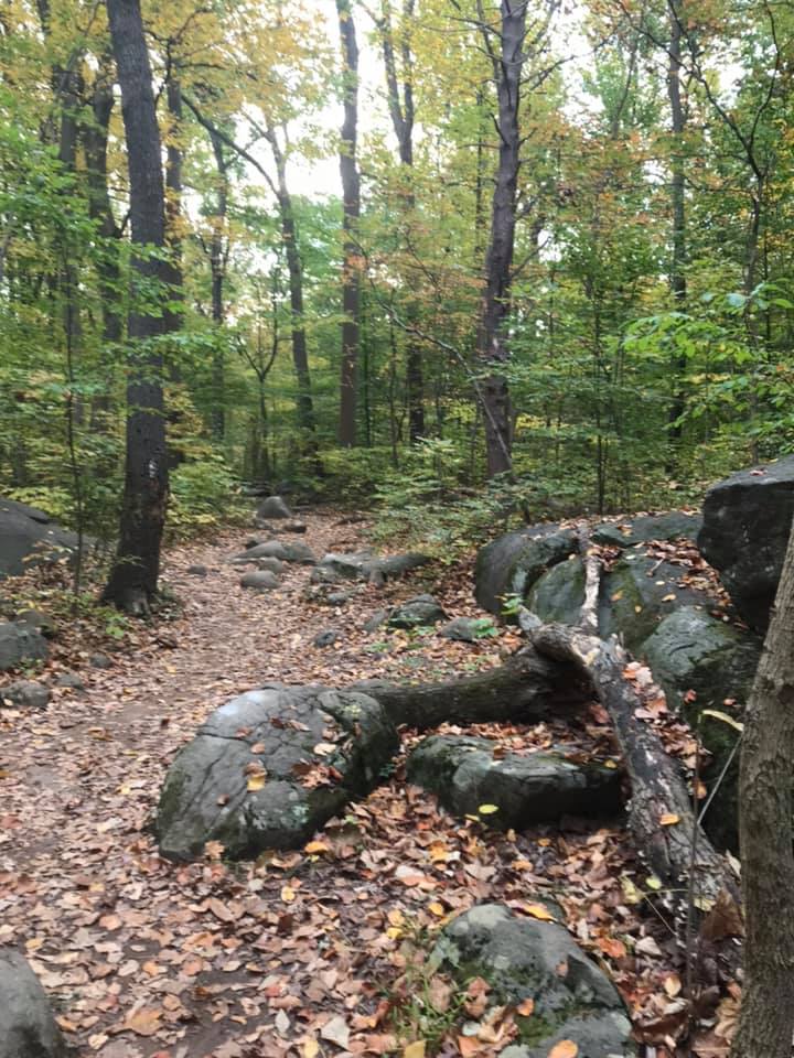
Ringing Rocks County Park was a little gem of a place. The highlight was its boulder field full of rocks that resonate different pitches when hit. The rocks showed scars from all the attempts at making music here!
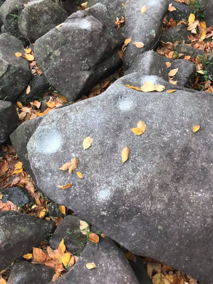
Scars on the rocks were they have been struck.
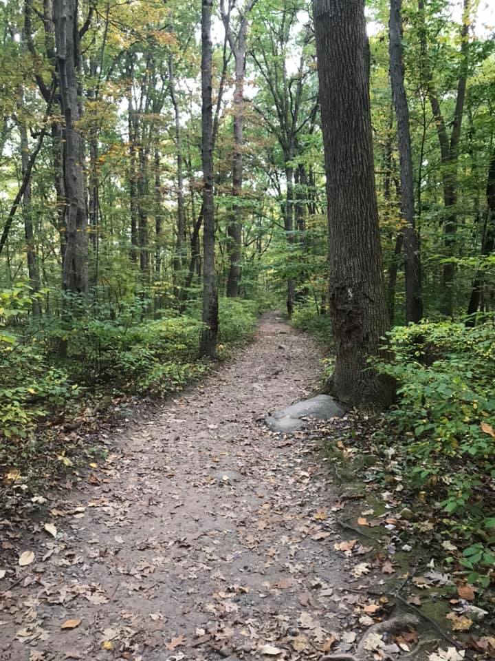
The trail at Ringing Rocks formed a loop that took you around the boulder field and past a seasonal waterfall. The trail was wooded and well marked.
Season waterfall, just a trickle in October
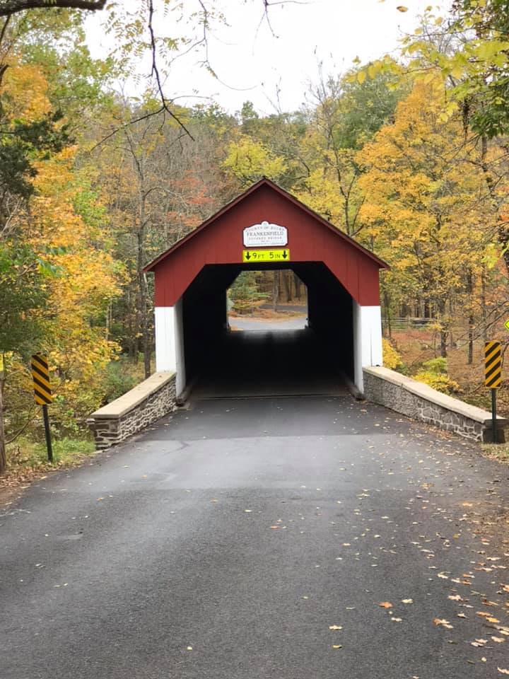
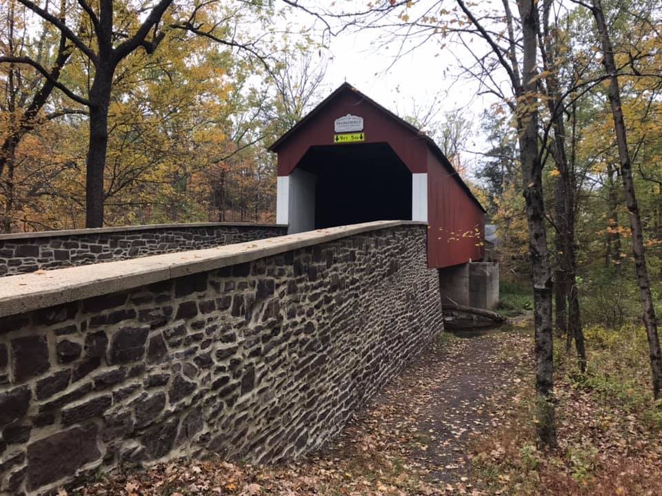
After hiking the roughly 1-mile loop around ringing rocks we took a scenic drive through eastern PA to pass through the Frankenfield covered bridge on our way to Washington Crossing Historic Park.
The Frankenfield covered bridge
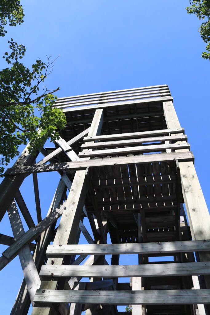
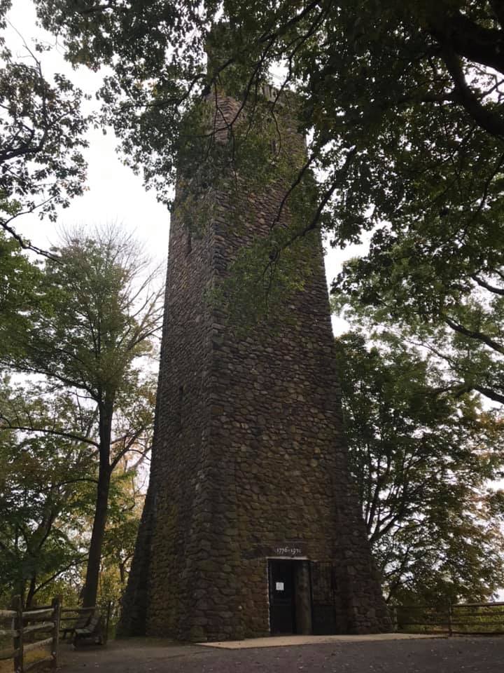
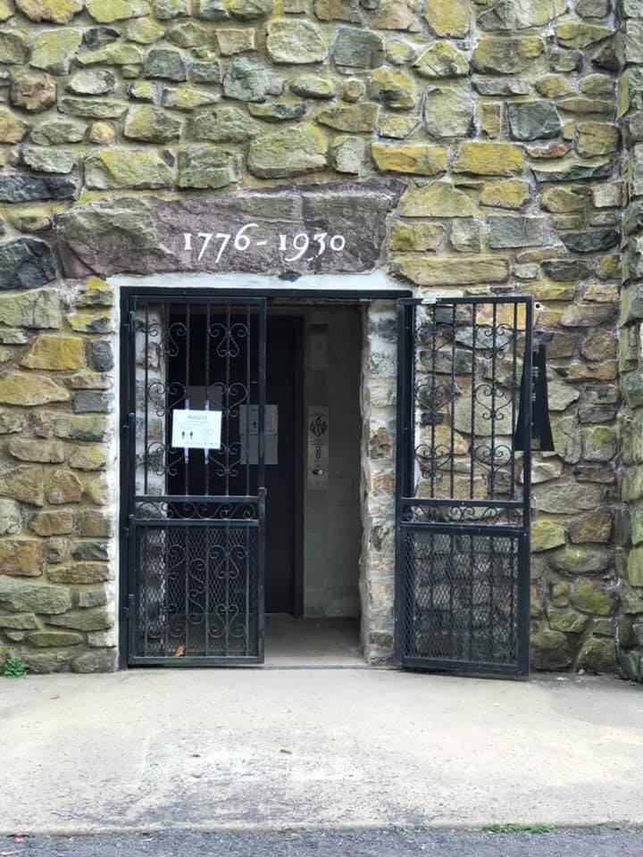
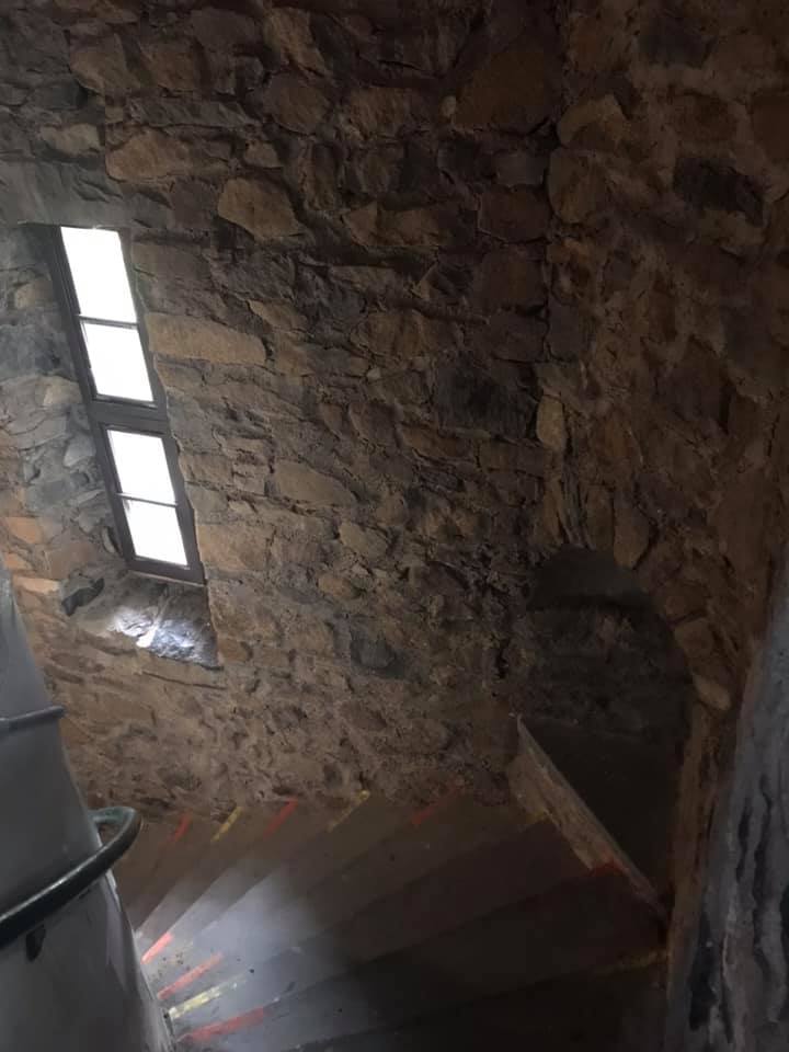
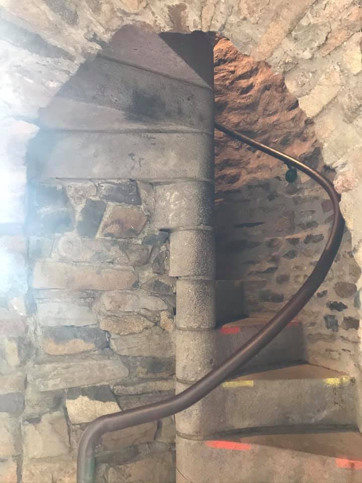
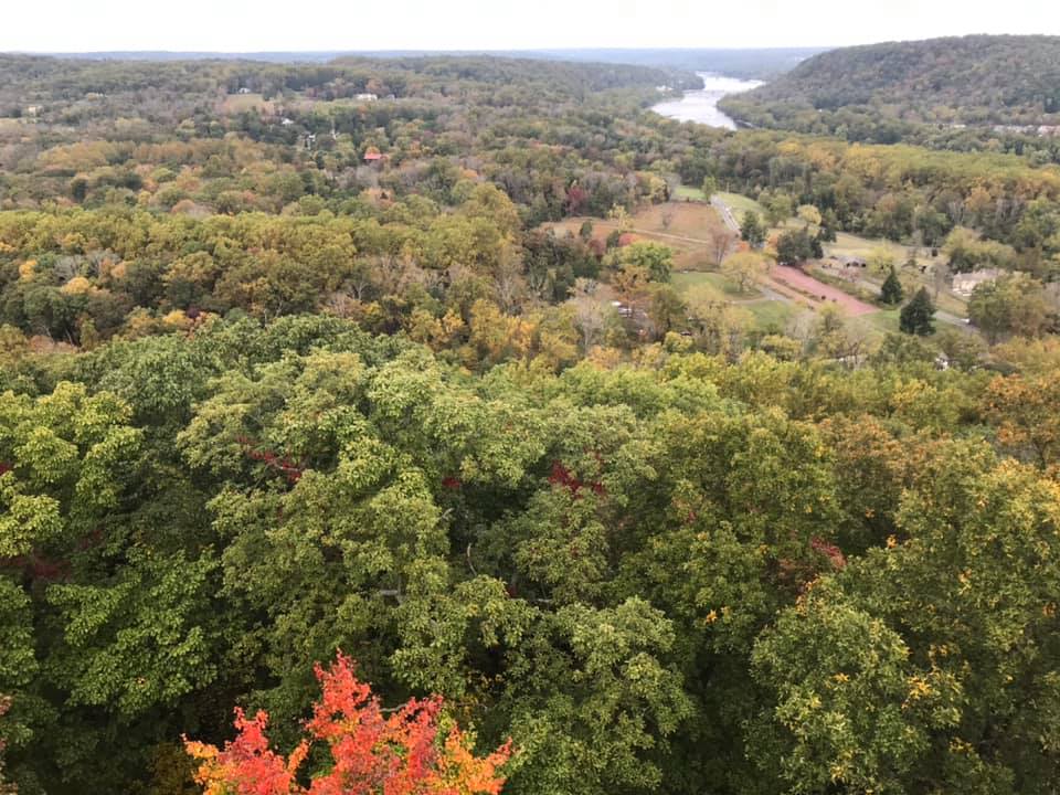
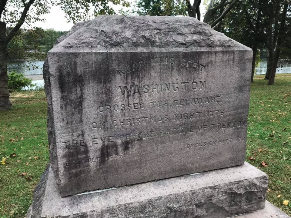
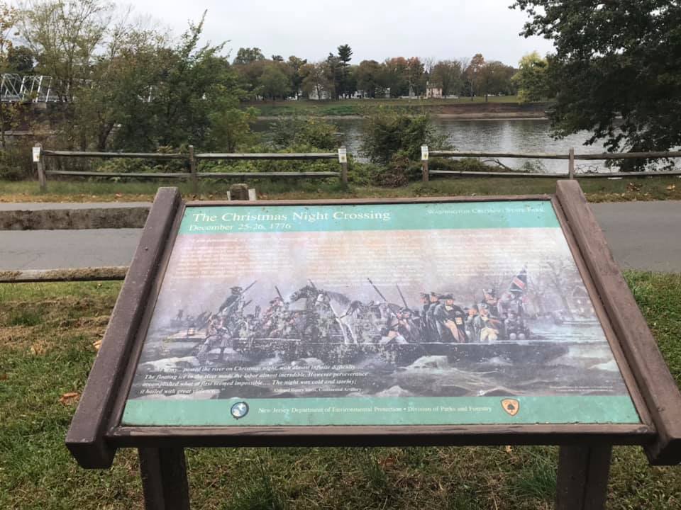
After reading 1776 by David McCullough a few years ago, I had a vivid mental picture of what George Washington’s Christmas crossing of the Delaware was like. I was excited to find that the location was not far from Frenchtown while I was planning this trip. On the drive there we passed signs for Bowman’s Hill Tower and made a quick stop there. There is an entrance fee and they recommend reserving an entrance time online in advance. The website can be found here.
The view from the top of Bowman’s Hill Tower
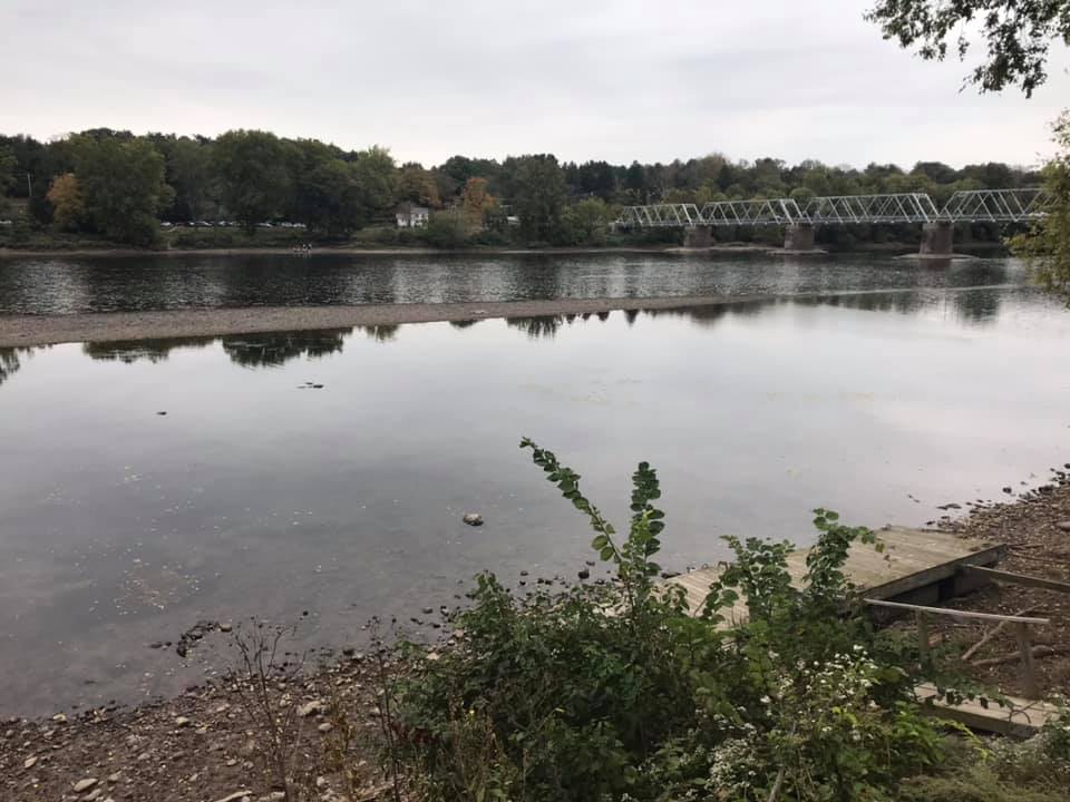
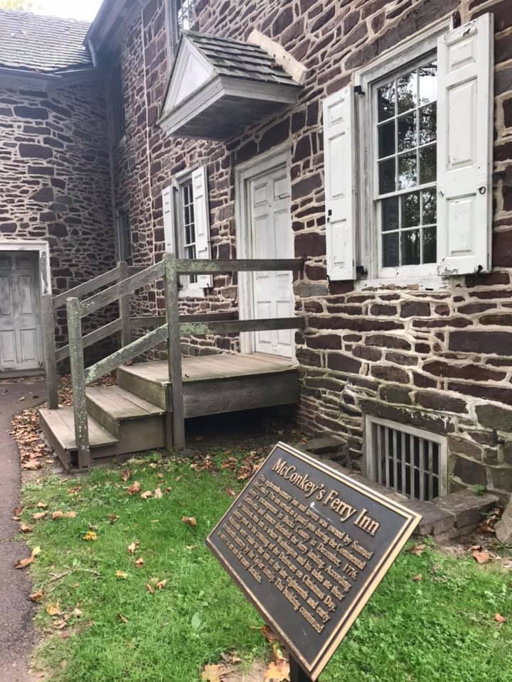
The majority of the park was just a short drive down the road from the tower. The park preserves several buildings present during the 1776 crossing. My favorite was McConkey’s Inn, located right next to the Delaware River. The sign said that this inn was where Washington and his aides ate dinner prior to the crossing.
McConkey’s Ferry Inn
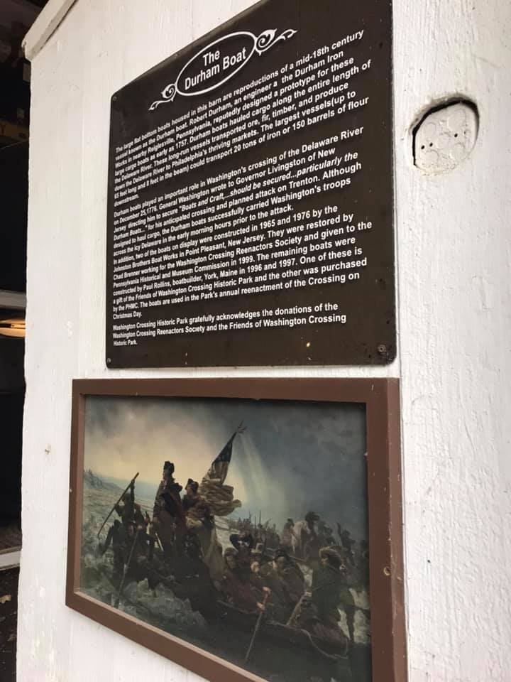
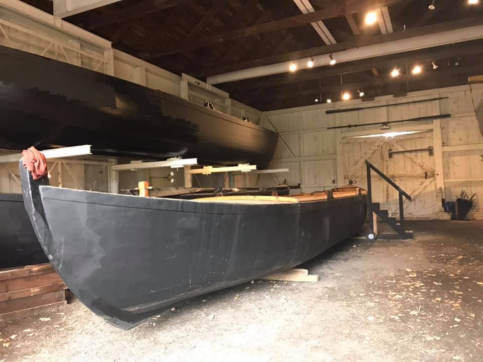
Durham boatsSign marking the crossing on the New Jersey side of the river.
The common thread running through the sights we visited was the power of transformation. This area was transformed from untamed wild, to purposed for human use, to abandonment, to a balance between their history, preservation, and enjoyment. May we all find this balance in our travels. May we pay tribute to the past with an eye for sustainable balance in the future.
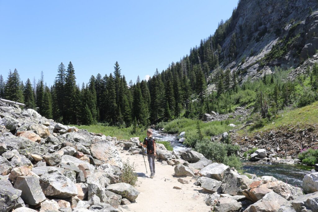
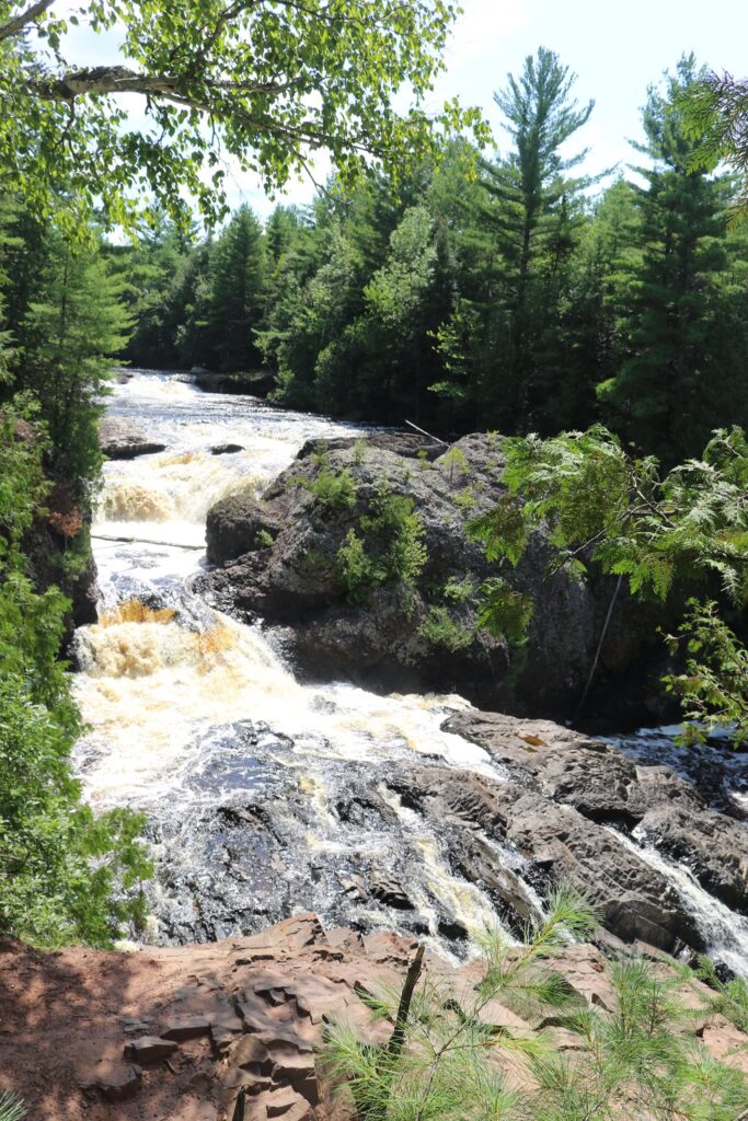
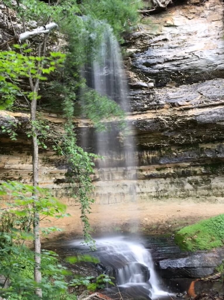
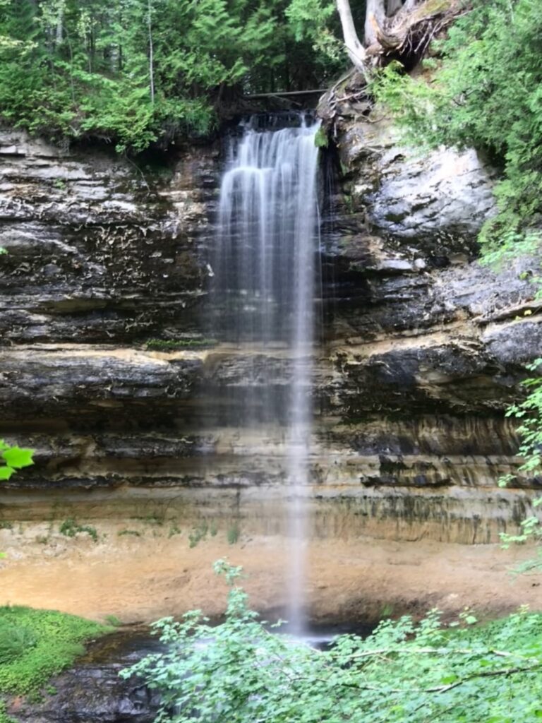
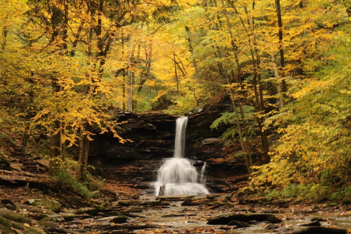
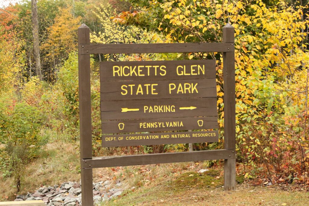
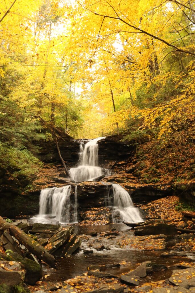
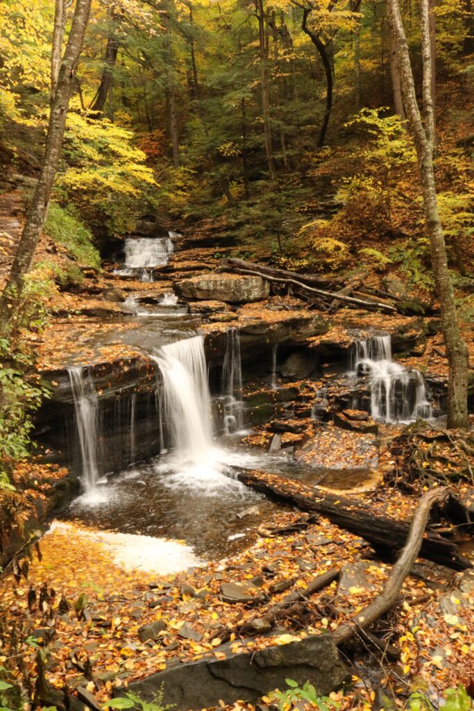
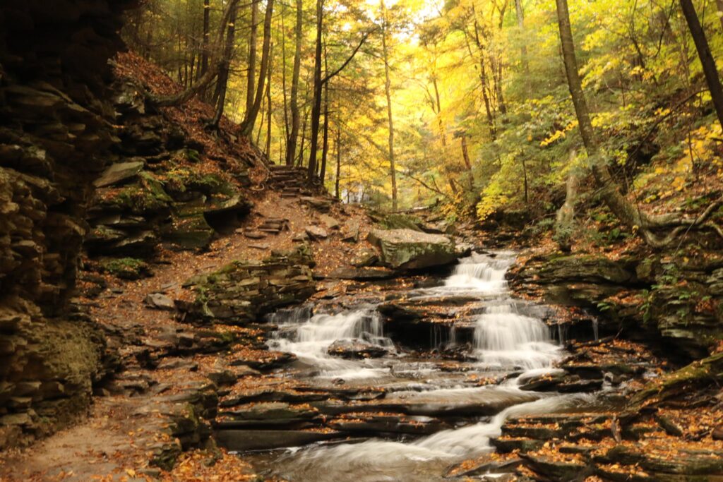
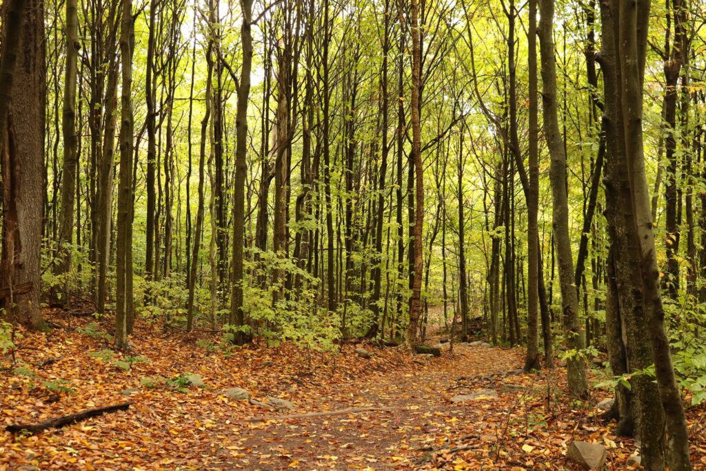
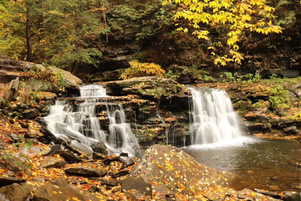
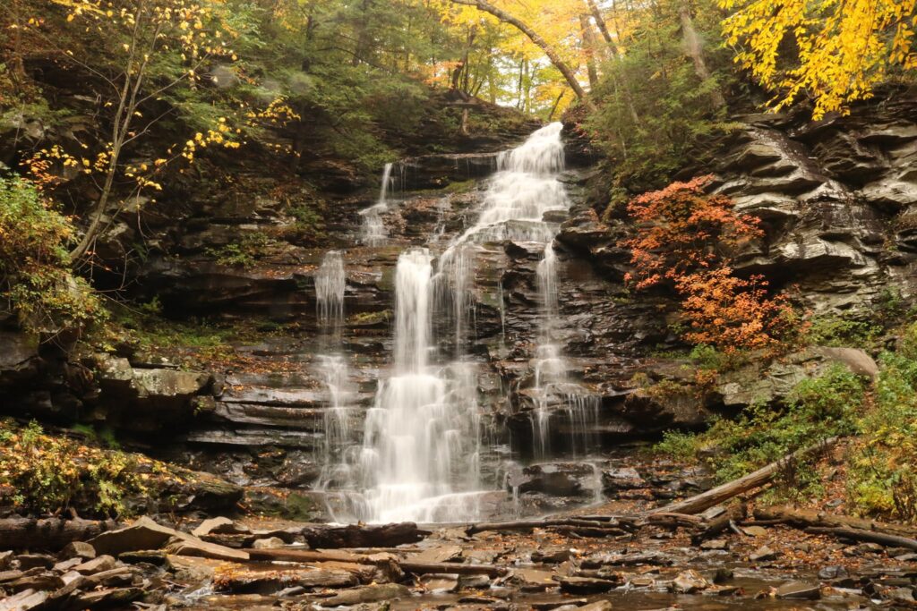
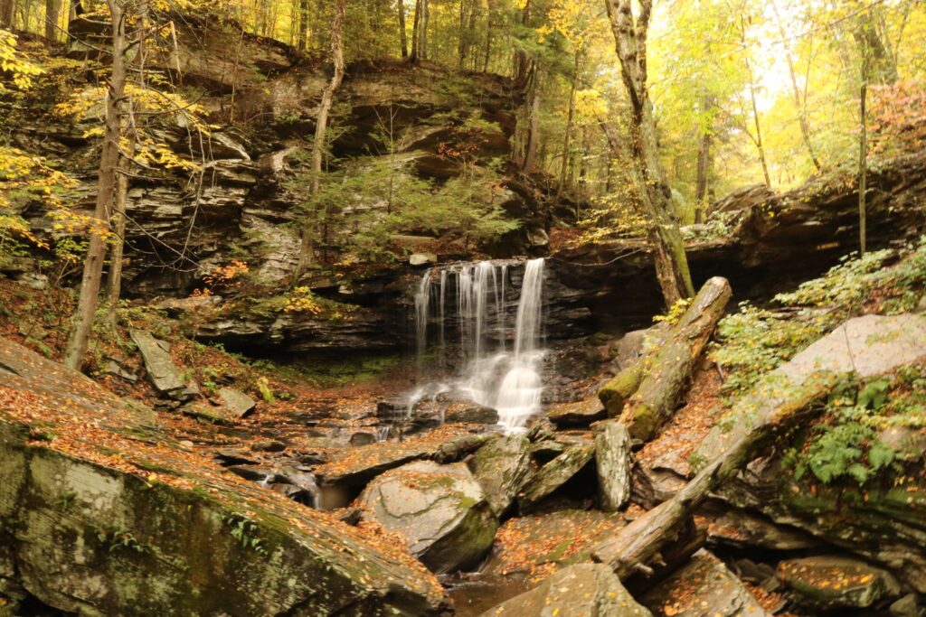
On October 12th, 2020 we took advantage of a drive across Pennsylvania to stop at Rickett’s Glen State Park to hike one of my bucket list trails. The trailhead is off of PA 118 about 24 miles west of Wilkes-Barre, PA. From the sign at the entrance to the park and combining the Falls trail, Ganoga Glen trail, Highland trail, and Glen Leigh trail, we hiked 8.1 miles in a lollipop formation to see all 21 of the park’s named waterfalls!
Entrance to park off of PA 118Above are two of the first falls we encountered. Murray Reynolds at the top at 16′ high and Harrison Wright at 27′ tall.
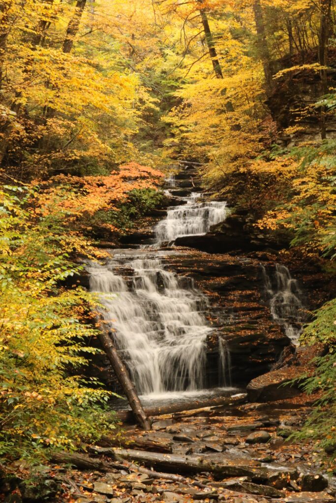
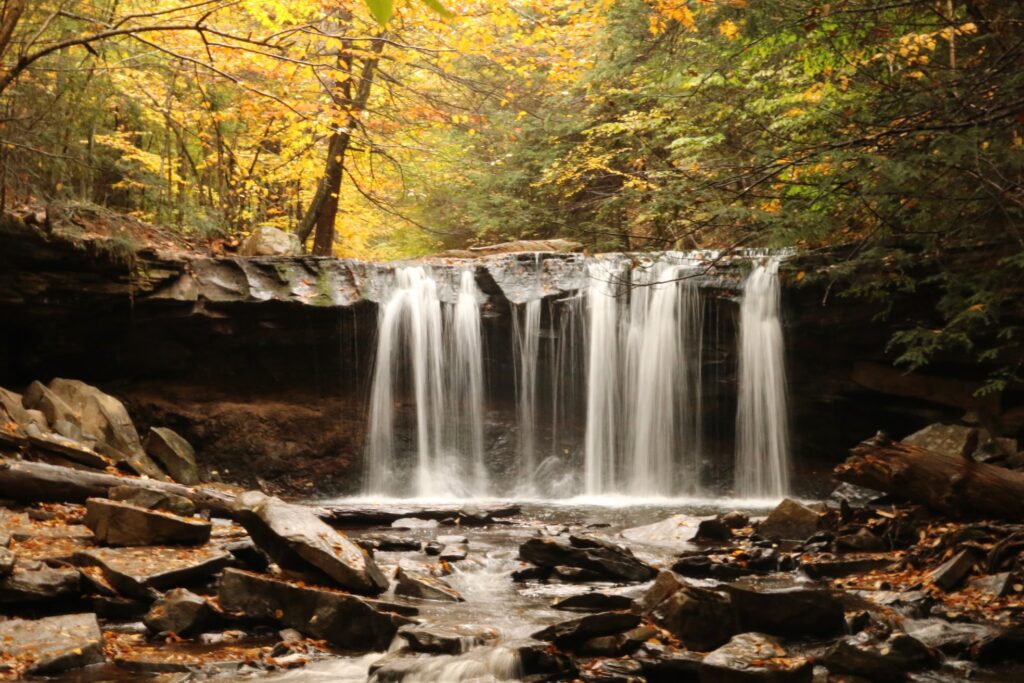
Tuscarora at 47′ tall, was one of my favorites.
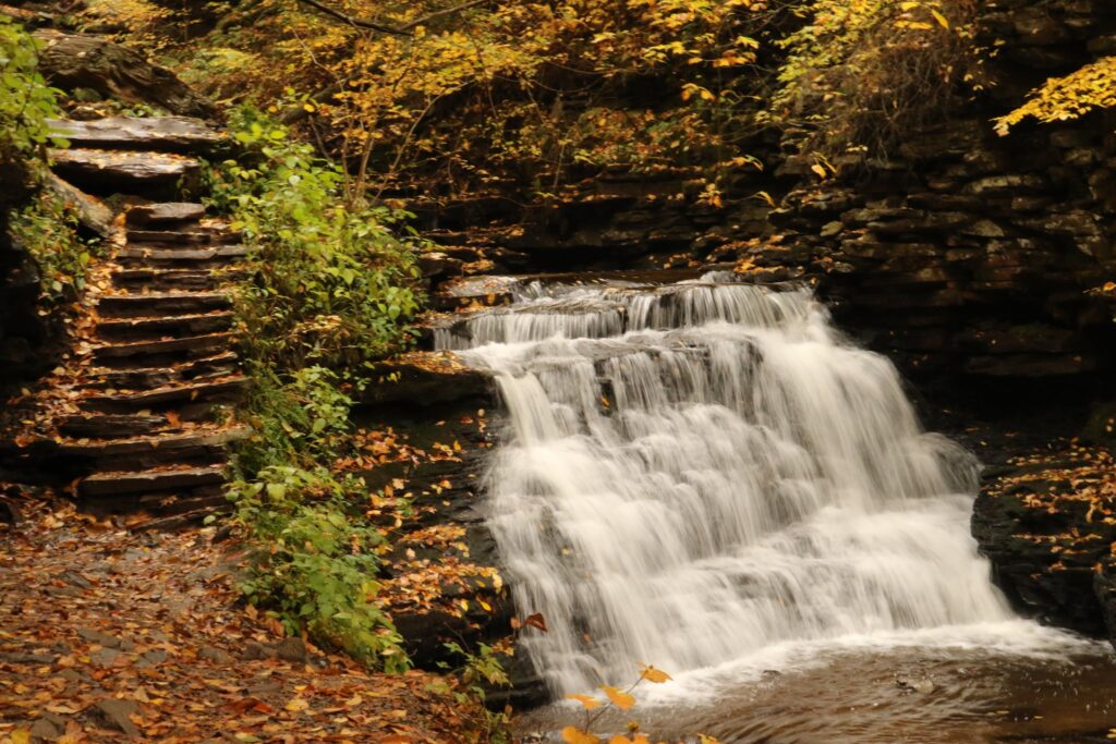
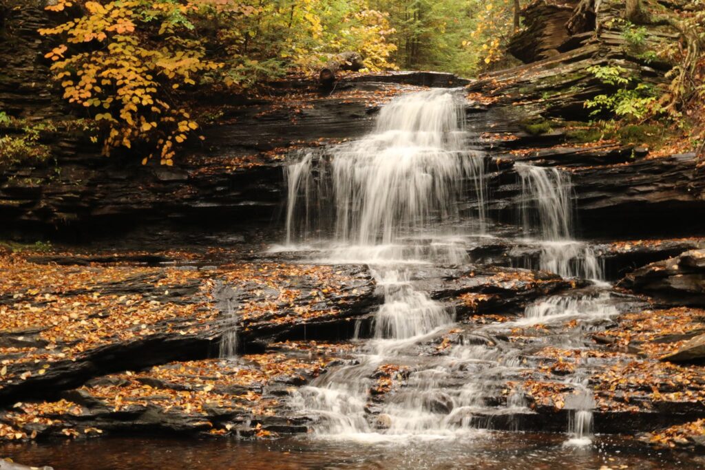
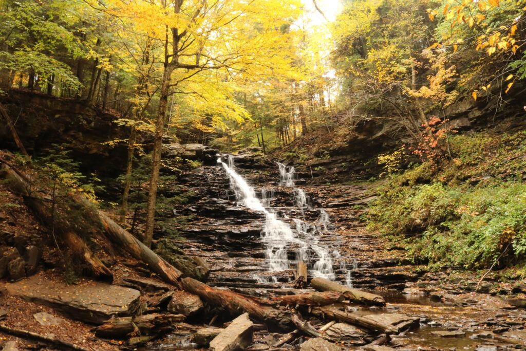
Conestoga Falls
The park brochure provided some interesting information on the history of the area. It was originally part of land owned by Colonel Robert Bruce Ricketts, a Civil War veteran and later his heirs. According to the park brochure, the area was approved as a potential National Park site in the 1930’s but the outbreak of World War II diverted attention elsewhere.
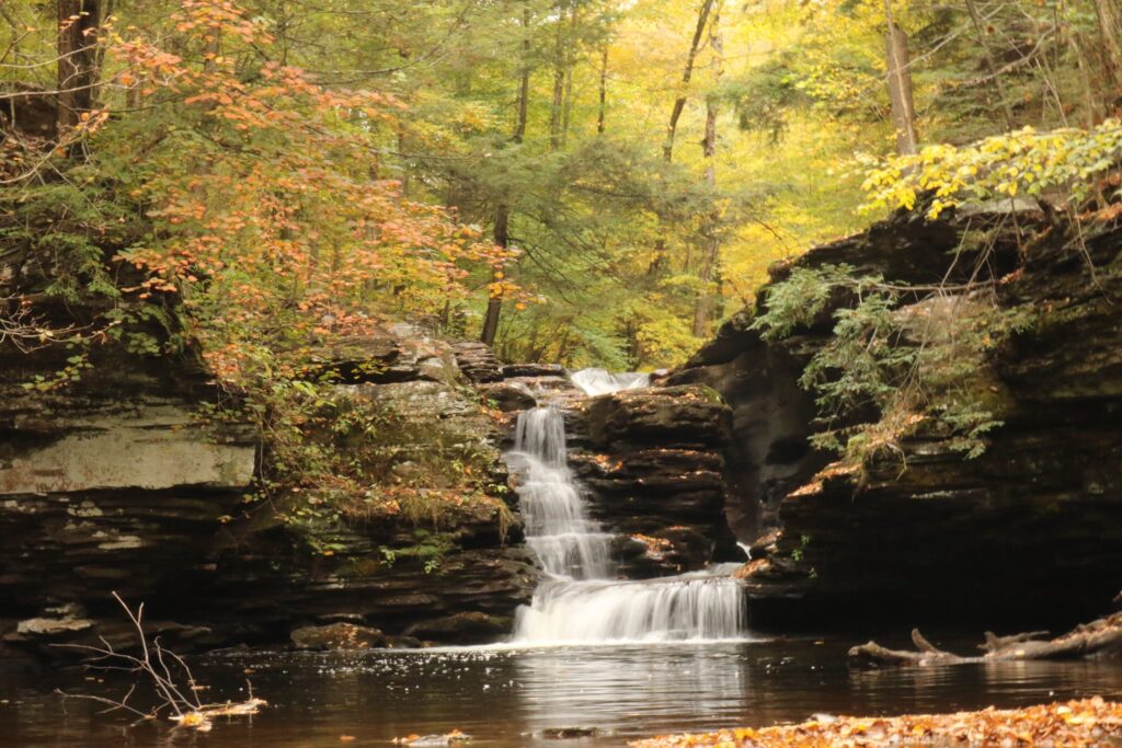
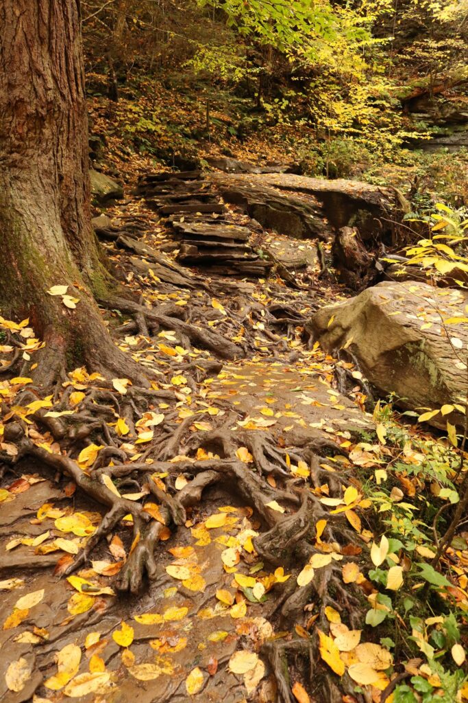
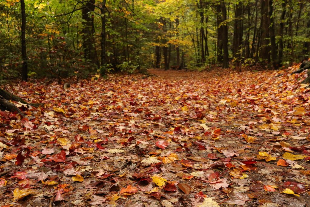
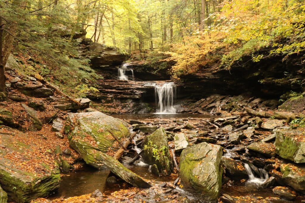
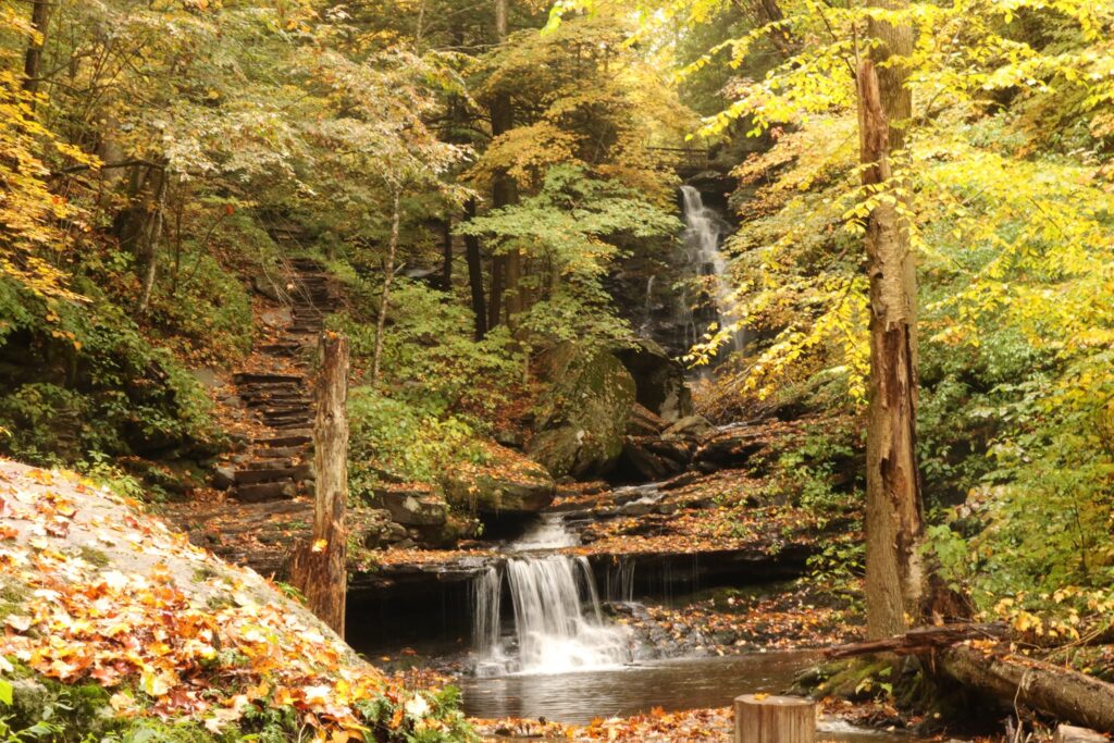
The trail was rugged. It was easy to follow but often very natural, with stones as stairs and tree roots weaving their way across the path. Delaware fallsSeneca Falls
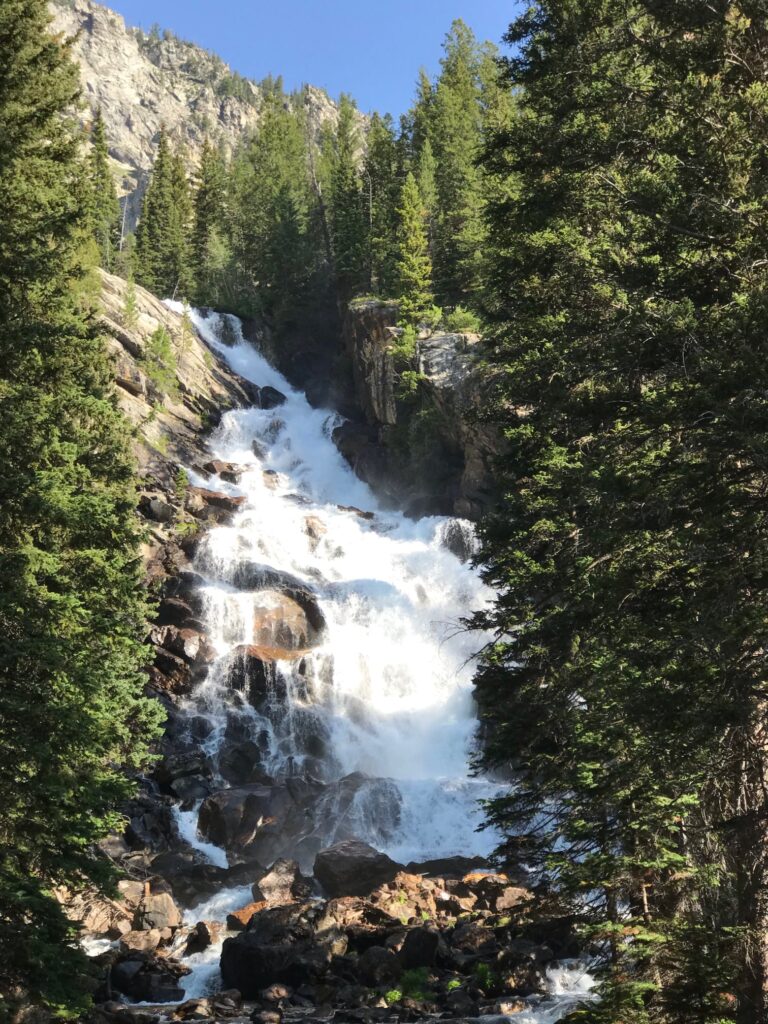
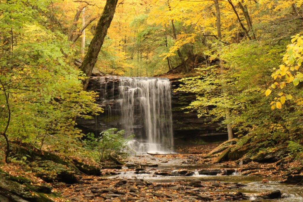
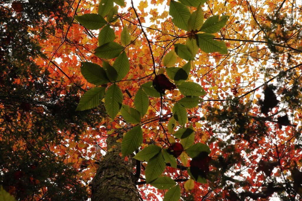
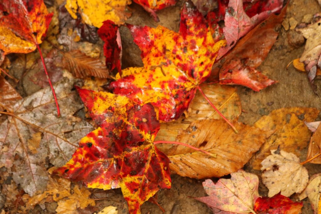
Not only were the waterfalls gorgeous, it was a beautiful falls day. The leaves were every shade of red, orange, yellow, and green.At 94′ high, Ganoga Falls is the tallest in the park.
At about the half way point of the hike, there was an interesting rock formation. This area, called the Midway Crevasse and found along the Highland Trail, was situated between the two gorges carved out by the two branches of Kitchen Creek.
Midway Crevasse
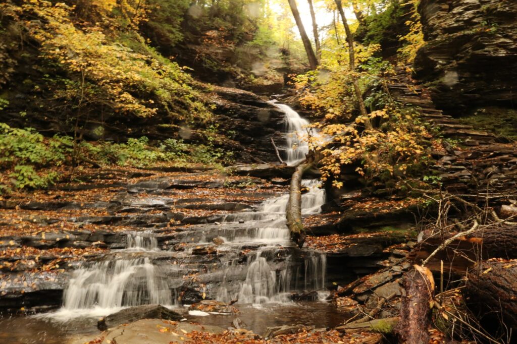
Falls of Glen Leigh
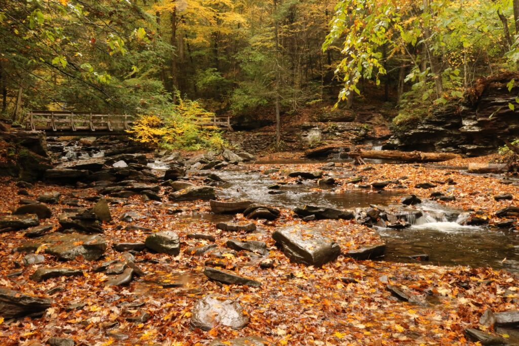
At the end of the loop, back where the two branches of Kitchen Creek meet, the hike was drawing to a close. It was not an easy hike, but in the roughly three and a half hours that we were on the trail, I thought of nothing but the beauty surrounding me and how fortunate I was to be in this space, with a body healthy enough to see it all. Sometimes taking the difficult path in life pays off, if we can just take a moment to appreciate it.